Rhode Island, located in the northeastern region of the United States, is a state known for its stunning coastline, rich history, and vibrant culture. With its picturesque beaches, bustling urban centers, and charming small towns, Rhode Island offers a unique blend of nature and culture. To help visitors and residents navigate this beautiful state, we have created a detailed map of Rhode Island with cities and highways.
This map highlights Rhode Island’s major cities, including Providence, Warwick, Cranston, and Newport, as well as its primary highways and roads. Whether you’re planning a road trip or simply want to explore Rhode Island’s wonderful landscape and culture, this map is an essential tool. So, grab your map and get ready to discover all that Rhode Island has to offer, from its world-renowned seafood to its historic landmarks and everything in between.
Printable Rhode Island Map With Cities and Highways
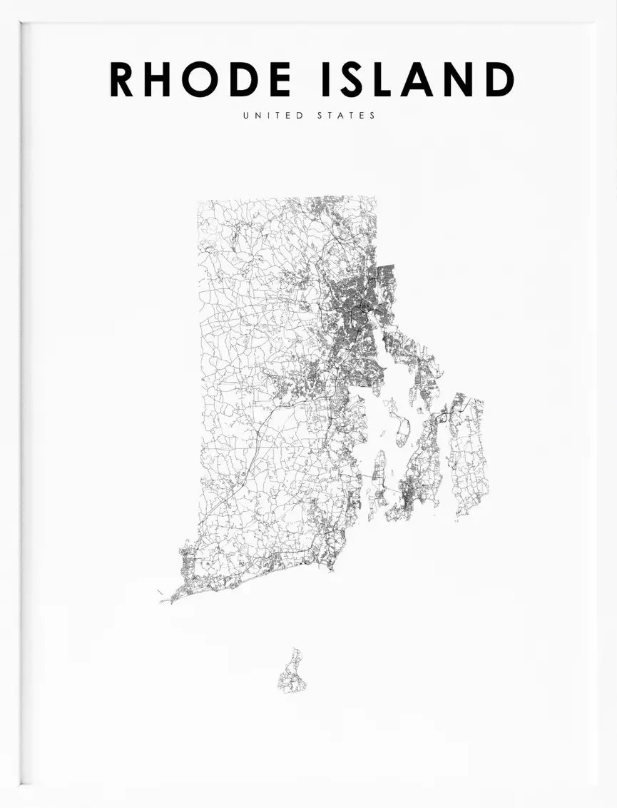
Cities
Providence

Providence is the capital and most populous city of the U.S. state of Rhode Island. Founded in 1636 by Roger Williams, a Reformed Baptist theologian and religious exile from the Massachusetts Bay Colony, it is one of the oldest cities in New England. Williams named the area in honor of “God’s merciful Providence,” which he believed was responsible for revealing such a haven for him and his followers.
Providence developed as a busy port, as it is situated at the mouth of the Providence River at the head of Narragansett Bay. The city was one of the first in the country to industrialize and became noted for its textile manufacturing and subsequent machine tool, jewelry, and silverware industries.
Today, the city is home to eight hospitals and eight institutions of higher learning, which have shifted its economy into service industries, though it still retains some manufacturing activity. At the 2020 census, Providence had a population of 190,934, making it the third-most-populous city in New England after Boston and Worcester, Massachusetts. The Providence metropolitan area is the second largest metropolitan area in New England with over 1.6 million residents, nearly 30 percent larger than Hartford.
Warwick
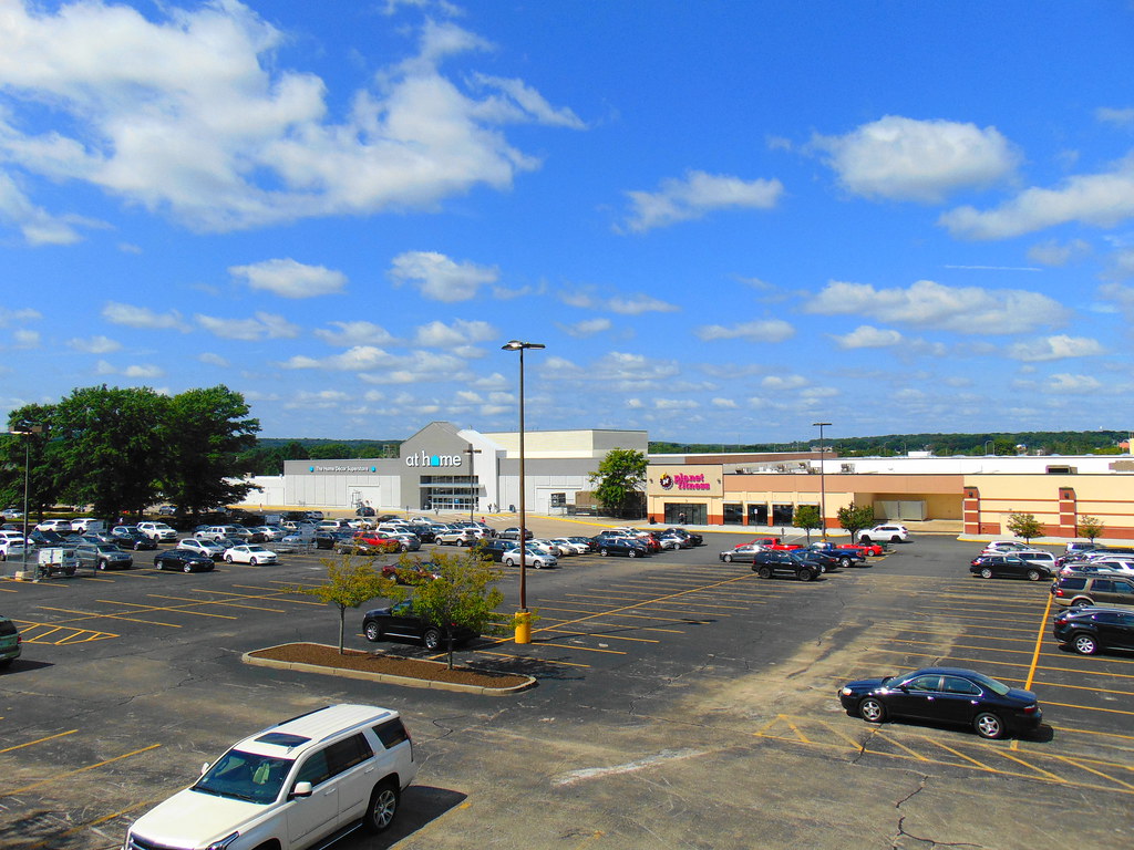
Warwick is a city in Kent County, Rhode Island, United States, and is the third largest city in the state with a population of 82,823 at the 2020 census. The city is located approximately 12 miles (19 km) south of downtown Providence, Rhode Island, 63 miles (101 km) southwest of Boston, Massachusetts, and 171 miles (275 km) northeast of New York City.
Warwick was founded by Samuel Gorton in 1642 and has played a significant role in American history. It was the site of the Gaspee Affair, the first act of armed resistance against the British, preceding even the Boston Tea Party, and a significant prelude to the American Revolution.
Warwick was also the home of Revolutionary War General Nathanael Greene, George Washington’s second-in-command, and Civil War General George S. Greene, a hero of the Battle of Gettysburg. Today, Warwick is home to Rhode Island’s main airport, T. F. Green Airport, which serves the Providence area and also functions as a reliever for Logan International Airport in Boston, Massachusetts. Additionally, Warwick is home to Rocky Point, a popular amusement park that closed in 1995.
Cranston

Cranston, formerly known as Pawtuxet, is a city in Providence County, Rhode Island, United States. The official population of the city in the 2020 United States Census was 82,934, making it the second-largest city in the state.
Cranston is a part of the Providence metropolitan area and is also the center of the population of Rhode Island. In 2006, Money named Cranston one of the “100 Best Places to Live” in the United States. Additionally, in a 2014 survey done by 247wallst.com, Cranston ranked 36th on the list of “America’s 50 Best Cities to Live”.
The Town of Cranston was created in 1754 from a portion of Providence north of the Pawtuxet River. After losing much of its territory to neighboring towns and the city of Providence, Cranston itself became a city on March 10, 1910.
Pawtucket

Pawtucket is a city in Providence County, Rhode Island. The population was 75,604 at the 2020 census, making the city the fourth-largest in the state. Pawtucket borders Providence and East Providence to the south, Central Falls and Lincoln to the north, and North Providence to the west.
The city also borders the Massachusetts municipalities of Seekonk and Attleboro. Pawtucket played an important role in the Industrial Revolution in the United States, particularly in textile manufacturing. Slater Mill, located in Pawtucket, is a historic textile mill recognized for helping to found the Industrial Revolution in the United States. Today, the mill is a museum and National Historic Landmark.
East Providence
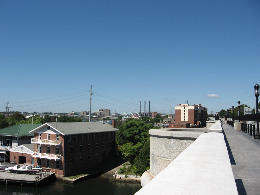
East Providence is a city in Providence County, Rhode Island, United States. The population was 47,139 at the 2020 census, making it the fifth-largest city in the state. The city is located on the eastern border of the state, bordering the Massachusetts city of Seekonk.
East Providence is known for its scenic waterfront, which includes the East Providence Yacht Club and the Crescent Park Looff Carousel, a historic carousel that is listed on the National Register of Historic Places. The city is also home to the Rhode Island School of Design’s Edna Lawrence Nature Lab, which is an educational resource for students and the community on the subjects of ecology and environmental science.
Woonsocket
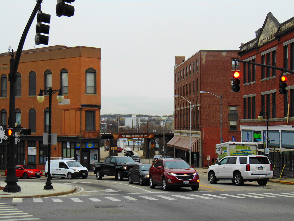
Woonsocket is a city in Providence County, Rhode Island, United States. The population was 43,240 at the 2020 census, making it the sixth largest city in the state. Woonsocket is located in the northern part of the state, directly south of the Massachusetts state line, and is a part of both the Providence metropolitan area and the larger Greater Boston Combined Statistical Area.
CVS Health, a pharmacy services provider, has its corporate headquarters in Woonsocket. The city is also home to Landmark Medical Center, the Museum of Work and Culture, and the American-French Genealogical Society. The Museum of Work and Culture is a living history museum that tells the story of the French-Canadian immigrants who came to work in the city’s textile mills.
Cumberland
Cumberland is the northeasternmost town in Providence County, Rhode Island, United States. The town was first settled in 1635 and incorporated in 1746. The population was 36,405 at the 2020 census, making it the seventh-largest municipality and the largest town in the state.
Cumberland is home to the Blackstone River Valley National Heritage Corridor, a national park that preserves the history of the American Industrial Revolution. The town is also known for its scenic parks, including Diamond Hill State Park, which has hiking trails and winter sports activities, and the Monastery Grounds, a 500-acre nature preserve. Additionally, Cumberland is home to the Cumberland Public Library, which has been ranked as one of the best libraries in the country.
Coventry
Coventry is a town in Kent County, Rhode Island, United States. The population was 35,688 at the 2020 census and is part of the Pawtuxet River Valley. The town is known for its natural beauty, including the Coventry Greenway, which is a scenic trail that runs along the Pawtuxet River. The town also has several parks, including the George B. Parker Woodland Wildlife Refuge, which has hiking trails and wildlife viewing opportunities.
Coventry is home to the Coventry Farmers’ Market, which is held every Sunday from May to October and features local produce, crafts, and live music. Additionally, the town is home to the Coventry Public Library, which has a collection of over 70,000 items and offers a variety of programs and events for all ages.
North Providence
North Providence is a town in Providence County, Rhode Island, United States. The population was 34,114 at the 2020 census. The town is located just north of the city of Providence and is part of the Providence metropolitan area. North Providence is known for its historic landmarks, including the Governor Sprague Mansion, which was built in 1790 and is listed on the National Register of Historic Places.
The town also has several parks, including Governor John A. Notte Jr. Park, which has sports fields, walking trails, and a playground. Additionally, North Providence is home to the North Providence Union Free Library, which has a collection of over 100,000 items and offers an array of programs and services for all ages.
South Kingstown
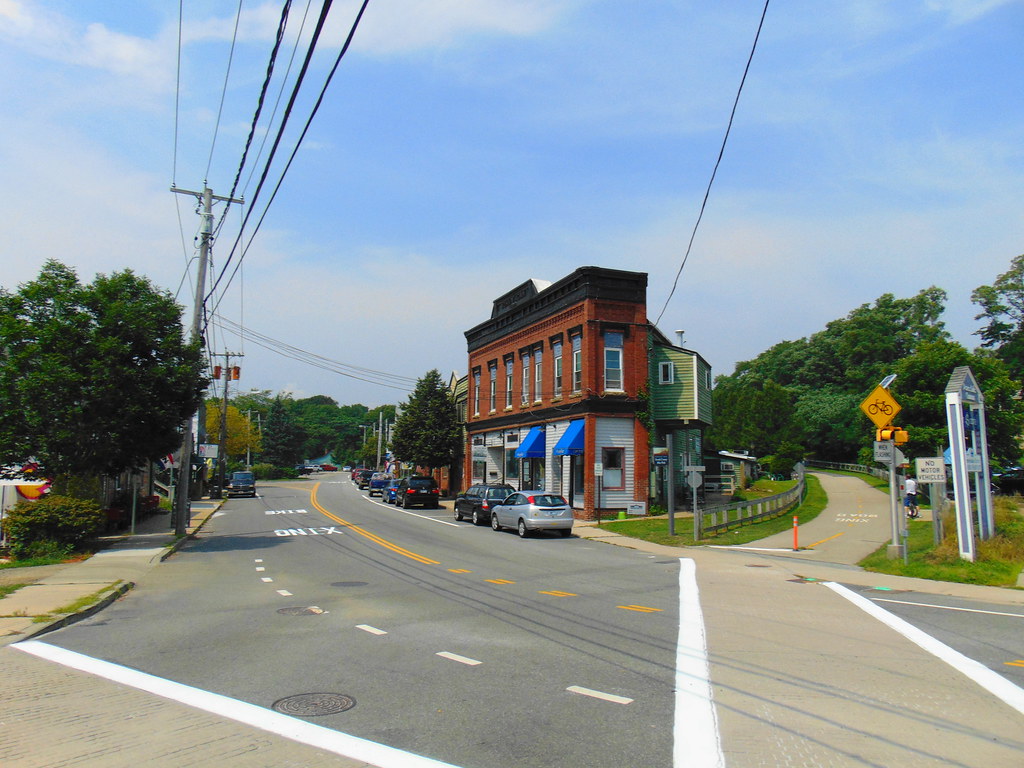
South Kingstown is a town in, and the county seat of, Washington County, Rhode Island, United States. The population was 31,931 at the 2020 census. South Kingstown is the second largest town in Rhode Island by total geographic area, behind New Shoreham, and the third largest town in Rhode Island by geographic land area, behind Exeter and Coventry.
The town is known for its beautiful beaches, including East Matunuck State Beach, which is a popular spot for swimming, surfing, and fishing. South Kingstown is also home to the University of Rhode Island, which is the flagship public research university of the state. Additionally, the town has several historic landmarks, including the Gilbert Stuart Birthplace and Museum, which is the birthplace of the famous portrait artist Gilbert Stuart and is listed on the National Register of Historic Places.
West Warwick
West Warwick is a town in Kent County, Rhode Island, United States. The population was 31,012 at the 2020 census. West Warwick was incorporated in 1913, making it the youngest town in the state. Prior to 1913, the town was the population and industrial center of the larger town of Warwick, situated on the western bank of the Pawtuxet River.
The town split because local Democratic politicians wanted to consolidate their power and isolate their section of town from the Republican-dominated farmland in the east. Today, West Warwick is known for its vibrant arts scene, which includes the Arctic Playhouse Theatre and the West Warwick Civic Center, which hosts a variety of cultural events throughout the year.
The town is also home to several parks, including Riverpoint Park, which has walking trails, picnic areas, and a playground. Additionally, West Warwick is home to the Kent County Courthouse, which is listed on the National Register of Historic Places.
Johnston
Johnston is a town in Providence County, Rhode Island, United States. The population was 29,568 at the 2020 census. The town is home to the Clemence Irons House (1691), a stone-ender museum, which is listed on the National Register of Historic Places. Johnston is also the site of the only landfill in Rhode Island.
The town was incorporated on March 6, 1759, and was named after the colonial attorney general, Augustus Johnston. Johnston is known for its scenic parks, including Johnston Memorial Park, which has walking trails, sports fields, and a playground.
The town is also home to the Johnston Historical Society, which preserves and promotes the history of the town. Additionally, Johnston is located just south of the city of Providence and is a part of the Providence metropolitan area.
North Kingstown
North Kingstown is a town in Washington County, Rhode Island, United States, and is part of the Providence metropolitan area. The population was 27,732 in the 2020 census. The town is known for its rich history and scenic beauty. North Kingstown is home to the birthplace of American portraitist Gilbert Stuart, who was born in the village of Saunderstown.
Within the town is Quonset Point, the location of the former Naval Air Station Quonset Point, known for the invention of the Quonset hut, as well as the historic village of Wickford. Wickford is a charming seaside village that has been well-preserved and is listed on the National Register of Historic Places.
The town is also home to several parks, including Wilson Park, which has sports fields, walking trails, and a beach. Additionally, North Kingstown is known for its vibrant arts scene, which includes the North Kingstown Arts Council and the Wickford Art Association.
Newport

Newport is a seaside city on Aquidneck Island in Rhode Island, United States. It is located in Narragansett Bay, approximately 33 miles southeast of Providence, 20 miles south of Fall River, Massachusetts, 74 miles south of Boston, and 180 miles northeast of New York City. The city is known as a New England summer resort and is famous for its historic mansions and its rich sailing history.
Newport has a population of about 25,000 residents. The city hosted the first U.S. Open tournaments in both tennis and golf, as well as every challenge to the America’s Cup between 1930 and 1983. It is also the home of Salve Regina University and Naval Station Newport, which houses the United States Naval War College, the Naval Undersea Warfare Center, and an important Navy training center.
Newport was a major 18th-century port city and boasts many buildings from the colonial era. The city is the county seat of Newport County, which has no governmental functions other than court administrative and sheriff corrections boundaries. Newport was known for being the location of the “Summer White Houses” during the administrations of presidents Dwight D. Eisenhower and John F. Kennedy.
Westerly
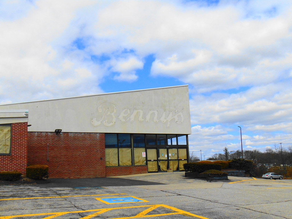
Westerly is a town on the southwestern coastline of Washington County, Rhode Island, first settled by English colonists in 1661 and incorporated as a municipality in 1669. It is a beachfront community on the south shore of the state with a population of 23,359 as of the 2020 census. The Pawcatuck River flows on the western border of Westerly and was once renowned for its own species of Westerly salmon, three of which are on the town’s official seal.
The town is known for its beautiful beaches, including Weekapaug Beach, Westerly Town Beach, Misquamicut State Beach, East Beach, and Watch Hill Beach. Three large salt ponds lie along the coast of Westerly which serve as shallow, reef-like pools whose outer walls form the long, white beaches for which the town is renowned. From west to east, these ponds are Maschaug Pond, Winnapaug Pond, and Quonochontaug Pond.
The Westerly area was known for its granite and stone-cutting industry, which quarried a unique stone known as Westerly granite. This pinkish granite is ideal for statuary and has been used in numerous government buildings of several states on the eastern seaboard. Westerly becomes a popular tourist destination during the summer months when the population nearly doubles.
Lincoln
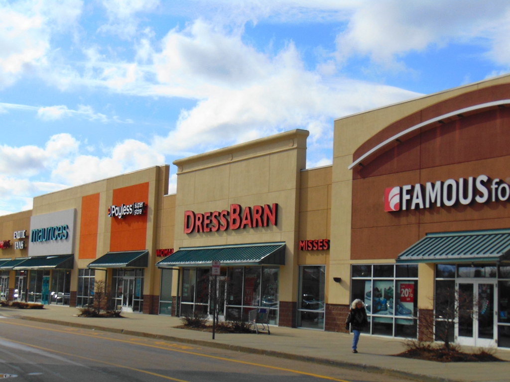
Lincoln is a town in Providence County, Rhode Island, United States. The population was 22,529 at the 2020 census. Lincoln is located in northeastern Rhode Island, north of Providence, and is part of the Providence metropolitan statistical area and the Greater Boston combined statistical area.
The town was settled in the 17th century as part of the Louisquisset grant, and several colonial stone-enders still exist in the town. Lincoln Woods State Park is located within the town, providing residents and visitors with opportunities for hiking, fishing, and picnicking. Limestone quarrying has occurred there since colonial times at the village of Lime Rock.
Lincoln was a part of the town of Smithfield until 1871 when it was split off and named in honor of Abraham Lincoln. The town became an important mill town in the late 19th century, with many textile factories running along the Blackstone River. Lincoln’s villages include Manville, Albion, Lime Rock, Lonsdale, Fairlawn, Quinnville, and Saylesville.
In 2008, the town was ranked #63 in Money Magazine’s “Best Places to Live”. Lincoln is in the lower Blackstone Valley of Rhode Island and in the John H. Chafee, Blackstone River Valley National Heritage Corridor, New England’s historic National Park area.
Central Falls
Central Falls is a city in Providence County, Rhode Island, United States. The population was 22,583 at the 2020 census. With an area of only 1.29 square miles, it is the smallest and most densely populated city in the smallest state and the 27th most densely populated incorporated place in the United States.
It is also one of only four incorporated places in New England that have a higher population density than the city of Boston (ranking second, behind the Massachusetts city of Somerville, an inner suburb of Boston). The city takes its name from a waterfall on the Blackstone River. Central Falls went into receivership in May 2010, then filed for bankruptcy on August 1, 2011.
After cutting jobs and services, it came out of bankruptcy in September 2012. Despite its small size and financial struggles, Central Falls is home to several parks and recreational areas, including Jenks Park, which features a historic bandstand and a playground. The city also has a strong arts community, with events such as the Central Falls Arts Festival showcasing the work of local artists.
Bristol

Bristol is a town in Bristol County, Rhode Island, US, as well as the historic county seat. It is a deep water seaport named after Bristol, England. The population of Bristol was 22,493 at the 2020 census. The town is known for its beautiful waterfront and historic architecture.
Major industries in Bristol include boat building and related marine industries, manufacturing, and tourism. The town’s school system is united with that of the neighboring town of Warren. Bristol has a diverse population, with prominent communities including Portuguese-Americans, mostly Azoreans, and Italian-Americans.
The town is home to several historic landmarks, including the Bristol County Courthouse, the oldest courthouse in the United States still in continuous use. Additionally, Bristol hosts the oldest continuous Fourth of July celebration in the United States, dating back to 1785. The celebration includes a parade, a carnival, and a fireworks display over Bristol Harbor.
Smithfield
Smithfield is a town that is located in Providence County, Rhode Island, United States. It includes the historic villages of Esmond, Georgiaville, Mountaindale, Hanton City, Stillwater, and Greenville. The population was 22,118 at the 2020 census.
Smithfield is known for its rural charm and historic landmarks, including the Smith-Appleby House Museum, which is a historic home that dates back to the 17th century and is open for tours. The town is also home to Bryant University, a private four-year college that is known for its business programs.
Smithfield has a strong community spirit, with events such as the annual Smithfield Farmers Market and the Greenville Carnival bringing residents together. The town is also home to several parks and recreational areas, including Deerfield Park, which features walking trails, a playground, and a pond for fishing.
Portsmouth
Portsmouth is a town in Newport County, Rhode Island, United States. The population was 17,871 at the 2020 U.S. census. Portsmouth is the second-oldest municipality in Rhode Island, after Providence. It was one of the four colonies that merged to form the Colony of Rhode Island and Providence Plantations, the others being Providence, Newport, and Warwick.
Portsmouth is known for its beautiful waterfront and historic landmarks, including the Portsmouth Historical Society Museum, which showcases the town’s history from its Native American roots to the present day. The town is also home to several parks and recreational areas, including the Newport International Polo Series, which is held at Glen Farm and attracts visitors from all over the world.
Portsmouth is a popular destination for boaters and fishermen, with several marinas and fishing charters available. The town is also home to several annual events, including the Portsmouth Community Theater’s Shakespeare in the Park series and the Portsmouth Arts Guild’s annual Outdoor Arts Festival.
Barrington
Barrington is a suburban, residential town in Bristol County, Rhode Island, United States, located approximately 7 miles southeast of Providence. It was founded by Congregationalist separatists from Swansea, Massachusetts, and incorporated in 1717. Barrington has a rich history, having been ceded from Massachusetts to Rhode Island and merged into Warren in 1747, and then made into a separate town by the Rhode Island legislature in 1770.
The town was a sparsely developed, agricultural community until the arrival of brickmaking companies in the 1850s, which employed large numbers of French-Canadians and Italians. The construction of a railroad to Providence in 1855 further contributed to suburban development, attracting residents of neighboring urban areas and contributing to the development of manufacturing industries.
The post-World War II baby boom increased suburbanization trends, resulting in a large population increase. Today, Barrington is known for its excellent schools, including three National Blue Ribbon Schools, and its high school was ranked No. 189 in the United States by Newsweek in 2019.
The town is also known for its historical sites, including the Allen-West House, Barrington Civic Center Historic District, and O’Bannon Mill, and nine sites in Barrington are listed under the National Register of Historic Places. As of the 2020 United States Census, the population was 17,153.
Middletown
Middletown is a town in Newport County, Rhode Island, United States. The population was 17,075 at the 2020 census. It is situated to the south of Portsmouth and to the north of Newport on Aquidneck Island, hence the name “Middletown.” Middletown is known for its beautiful beaches, including Sachuest Beach (also known as Second Beach) and Third Beach, which attract visitors from all over the region.
The town is also home to several historic landmarks, including the Middletown Historical Society Museum, which showcases the town’s history from its Native American roots to the present day.
Middletown is a popular destination for outdoor enthusiasts, with several parks and recreational areas, including the Norman Bird Sanctuary, which offers hiking trails and birdwatching opportunities. The town is also home to several annual events, including the Middletown Rotary Club’s annual pancake breakfast and the Middletown Arts Center’s annual Art in the Park festival.
Burrillville
Burrillville is a town in Providence County, Rhode Island, United States. The population was 16,158 at the 2020 census. The town was incorporated as an independent municipality on November 17, 1806, when the Rhode Island General Assembly authorized the residents of the North Glocester to elect its own officers.
The town was named for 19th-century United States senator James Burrill, Jr., who was then the Rhode Island Attorney General. Burrillville is known for its beautiful natural surroundings, including several lakes and forests that attract visitors from all over the region.
The town is also home to several historic landmarks, including the Bridgeton School, which is listed on the National Register of Historic Places. Burrillville is a popular destination for outdoor enthusiasts, with several parks and recreational areas, including the Burrillville Bike Path, which offers pleasing views of the town’s natural beauty. The town is also home to several annual events, including the Burrillville Arts Festival, which showcases the work of local artists and musicians.
Tiverton
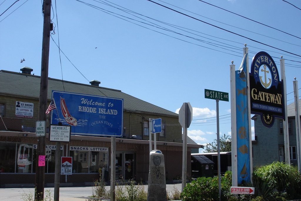
Tiverton is a town in Newport County, Rhode Island, United States. The population was 16,359 at the 2020 census. Tiverton is known for its beautiful waterfront and historic landmarks, including the Tiverton Four Corners Historic District, which features several 18th and 19th-century buildings that now house shops, galleries, and restaurants.
The town is also home to several parks and recreational areas, including the Weetamoo Woods and Pardon Gray Preserve, which offer hiking trails and birdwatching opportunities. Tiverton is a popular destination for boaters and fishermen, with several marinas and fishing charters available. The town is also home to several annual events, including the Tiverton Farmers Market and the Tiverton Arts & Artisan Festival.
East Greenwich
East Greenwich is a town and the county seat of Kent County, Rhode Island. The population was 14,312 at the 2020 census. East Greenwich is the wealthiest municipality in the state of Rhode Island. It is part of the Providence Metropolitan Statistical Area and the Greater Boston Combined Statistical Area.
The town has a rich history, having been formed as Greenwich in 1677 and named for Greenwich, England. It was renamed Dedford in 1686 but reverted to its original name in 1689. In 1741, the more rural western three-quarters of the town was set off as West Greenwich, and the remaining quarter of it thenceforth being called East Greenwich. Until 1854, it was one of the five state capitals of Rhode Island.
The General Assembly, when meeting in East Greenwich, used the local courthouse, which is today the town hall. East Greenwich is now known for its waterfront, renowned school district, and downtown restaurant and shopping district.
The town’s village is located in the northeastern part of the town and extends north about 0.93 miles into the city of Warwick, Rhode Island. The town is a popular destination for visitors, with several parks and recreational areas, including Goddard Memorial State Park, which offers hiking trails, a beach, and picnic areas.
Narragansett
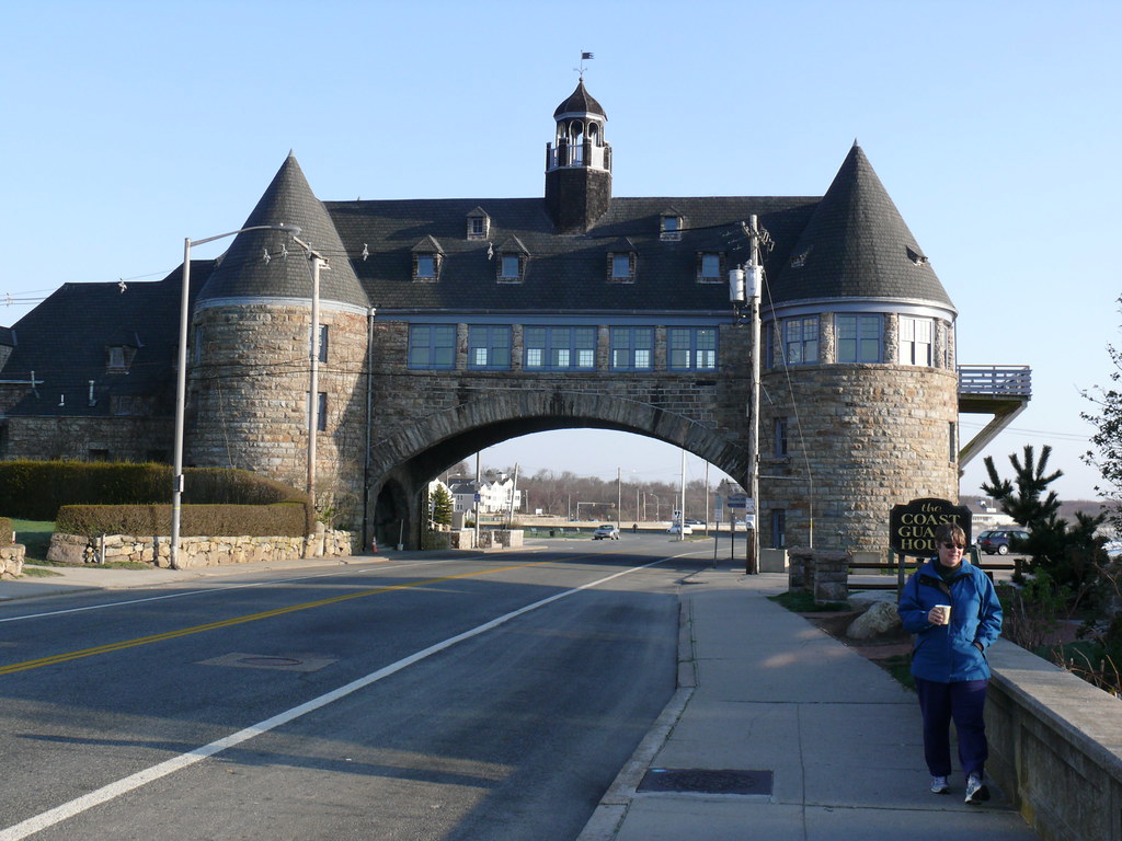
Narragansett is a town in Washington County, Rhode Island, United States. The population was 14,532 at the 2020 census. However, during the summer months, the town’s population more than doubles to nearly 34,000. The town of Narragansett occupies a narrow strip of land running along the eastern bank of the Pettaquamscutt River (aka Narrow River) to the shore of Narragansett Bay.
It was separated from South Kingstown in 1888 and incorporated as a town in 1901. Narragansett is known for its beautiful beaches, including Narragansett Town Beach, Roger W. Wheeler State Beach, and Salty Brine State Beach, which attract visitors from all over the region.
The town is also home to several parks and recreational areas, including the Fishermen’s Memorial State Park, which offers hiking trails, picnic areas, and fishing opportunities. Narragansett is a popular destination for boaters and fishermen, with several marinas and fishing charters available. The town is also home to several annual events, including the Narragansett Art Festival and the Narragansett Summer Concert Series.
North Smithfield
North Smithfield is a town in Providence County, Rhode Island, United States. Settled as a farming community in 1666, it was incorporated into its present form in 1871. North Smithfield includes the historic villages of Forestdale, Primrose, Waterford, Branch Village, Union Village, Park Square, and Slatersville.
The town has a rich history, having been home to several mills and factories during the Industrial Revolution, including the Slatersville Mill, which is now a National Historic Landmark. Today, North Smithfield is known for its beautiful natural surroundings, including several parks and recreational areas, such as the Blackstone River Greenway and the Powder Mill Ledges Wildlife Refuge.
The town is a wonderful destination for outdoor enthusiasts, with several hiking trails, fishing spots, and picnic areas available. North Smithfield is also home to several annual events, including the North Smithfield Heritage Festival and the Slatersville Farmers Market. The population was 12,588 at the 2020 census.
Warren
Warren is a town in Bristol County, Rhode Island, United States. The population was 11,147 at the 2020 census. Warren is known for its historic charm, with several buildings and landmarks dating back to the 18th and 19th centuries. The town is home to several parks and recreational areas, including the Warren Town Beach and the Burr’s Hill Park, which offer stunning views of the Warren River and Narragansett Bay.
Warren is a popular destination for boaters and fishermen, with several marinas and fishing charters available. The town is also home to several annual events, including the Warren Folk Festival and the Warren Art Night, which showcase the work of local artists and musicians.
Warren is a vibrant community with a thriving downtown area, featuring several shops, restaurants, and cafes. The town is also home to several historic sites, including the Nathaniel Miller House, which is listed on the National Register of Historic Places.
Scituate

Scituate is a town in Providence County, Rhode Island, United States. The population was 10,384 at the 2020 census. Scituate is known for its scenic beauty, with several parks and recreational areas, including the Scituate Reservoir and the George Washington Management Area, which offer hiking trails, fishing spots, and picnic areas.
The town is also home to several historic landmarks, including the Hope Mill, which is listed on the National Register of Historic Places. Scituate is a marvelous spot for outdoor enthusiasts, with several opportunities for camping, hunting, and wildlife watching.
The town is also home to several annual events, including the Scituate Art Festival and the Scituate Firefighters’ Field Day. Scituate is a close-knit community, with several local businesses and a thriving downtown area.
Glocester
Glocester is a town in Providence County, Rhode Island, United States. The population was 9,974 as of the 2020 census. Glocester is known for its rural character and beautiful natural surroundings, including several parks and recreational areas, such as the George Washington Management Area and the Ponaganset Reservoir.
The town is also home to several historic landmarks, including the Brown and Hopkins Country Store, which is the oldest continuously operating country store in the United States. The villages of Chepachet and Harmony are in Glocester, and Putnam Pike (U.S. Route 44) runs west through the town center of Glocester into Putnam, Connecticut.
Glocester is a rewarding area for outdoor enthusiasts, with a number of opportunities for hiking, fishing, and camping. The town is also home to several annual events, including the Glocester Heritage Society’s Apple Festival and the Glocester Summer Concert Series. Glocester is a close-knit community, with several local businesses and a thriving downtown area.
Interstates
Interstate 95
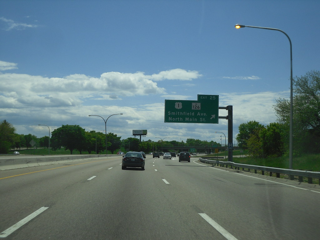
Interstate 95 (I-95) is the main north-south Interstate Highway on the East Coast of the United States, running generally southwest-northeast through the US state of Rhode Island. It runs from the border with Connecticut near Westerly, through Warwick and Providence, and to the Massachusetts state line in Pawtucket.
I-95 has two auxiliary routes, both of which enter Massachusetts – I-195, a spur from Providence east to Cape Cod, and I-295, a western bypass of the Providence metropolitan area. South of Warwick, I-95 takes a shorter inland route, parallel to Route 3, instead of following US Route 1 (US 1), which it generally replaced in New England.
Route 3 was designated New England Route 1A in 1922, a New England Interstate Route, but it has never been a US Route. I-95 is a major transportation artery in Rhode Island, connecting the state to other parts of the East Coast and facilitating the movement of people and goods.
Interstate 295
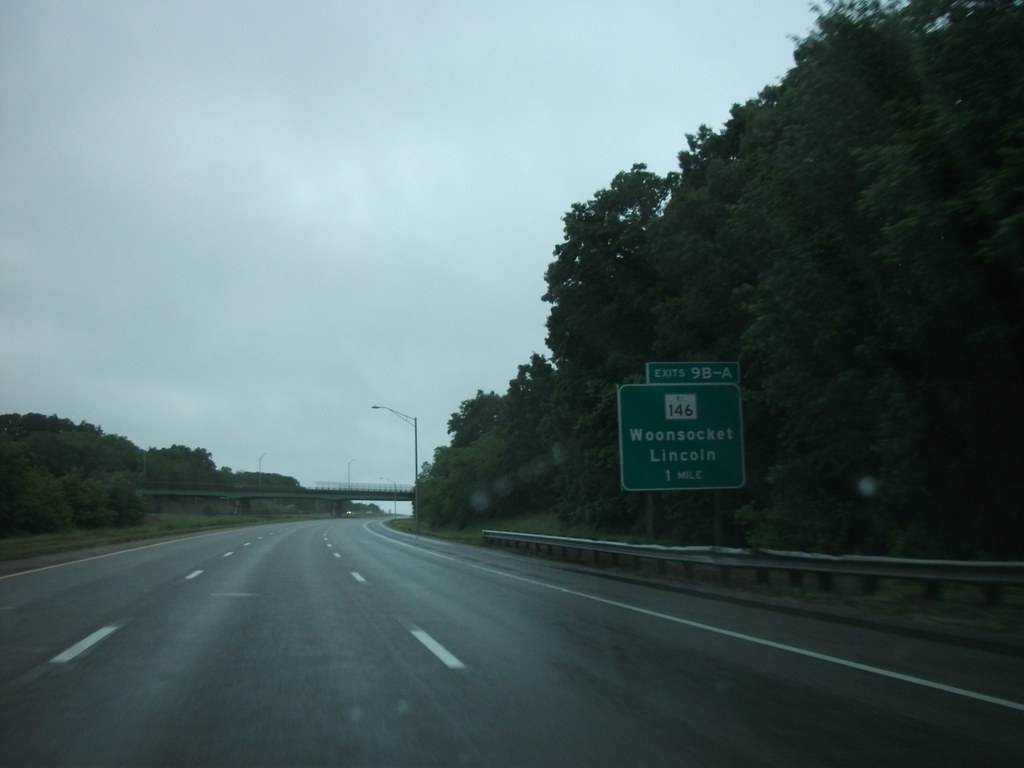
Interstate 295 (I-295) serves as a partial circumferential highway around Providence, bypassing the city to the west and north. The southern terminus of I-295 is located in Warwick (I-95 exit 11 northbound/12B southbound), with a complex interchange involving access between I-95, I-295, and Route 113.
After crossing the Blackstone River and passing Warwick Mall, I-295 provides access to Route 2 via exit 1B, followed by exits 3A and 3B for Route 37 within the town of Cranston. Exit 6 for Route 14 is next, known locally as Plainfield Pike, which defines the border between Cranston and Johnston. Exit 7 provides access to a local industrial park, while a complex interchange with US 6 and US 6A in Johnston, labeled exits 9A, 9B, and 9C, involves a near overlap between US 6 and I-295.
A diamond interchange (exit 10) with Route 5 is the last exit in Johnston, and the highway enters Smithfield and immediately has a cloverleaf interchange (exits 12A and 12B) with US 44. After another cloverleaf interchange (exits 15A and 15B) with Route 7, the highway begins a gentle curve eastward toward Massachusetts.
Within the town of Lincoln, I-295 meets Route 146 and Route 99 (exits 18A and 18B), followed by two interchanges in the town of Cumberland, Route 122 (exit 20) and Route 114 (exit 22). I-295 is an important transportation route in Rhode Island, providing a bypass around Providence and connecting the state to other parts of New England.
Highways
Route 1
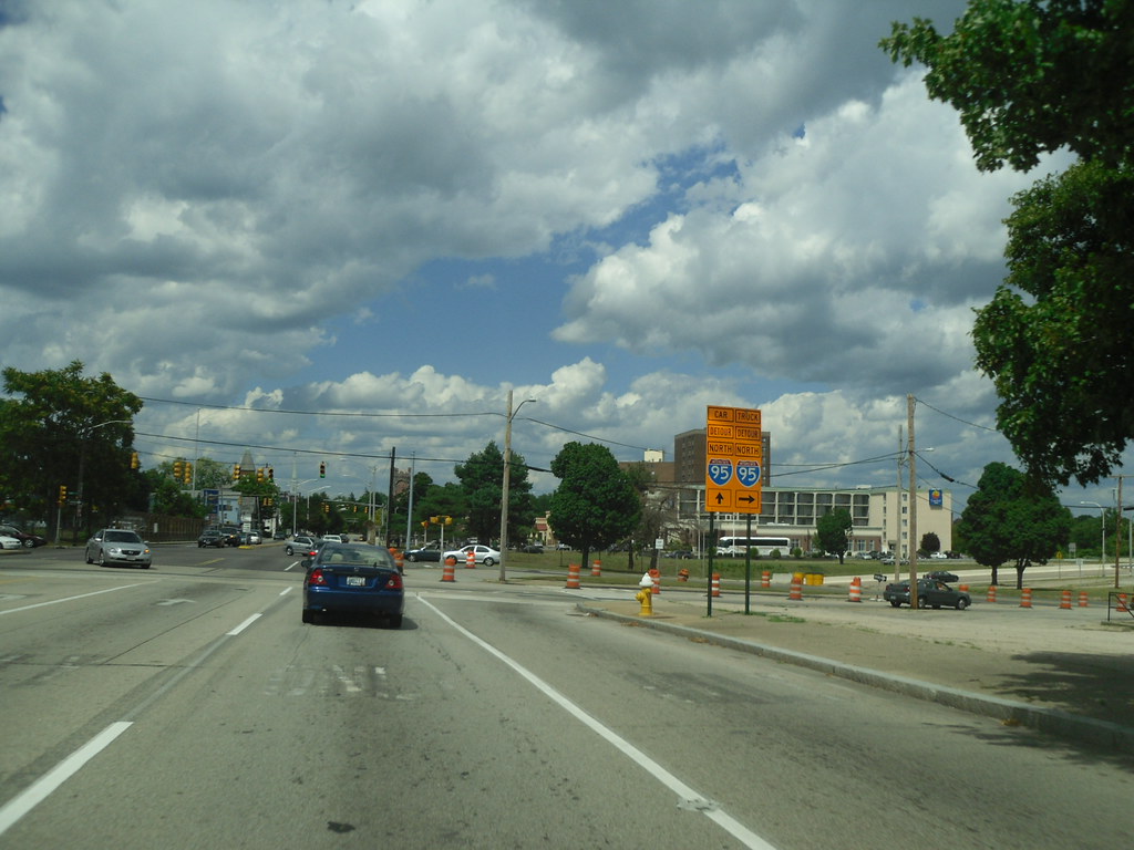
U.S. Route 1 (US 1) is a major north-south U.S. Route through the U.S. state of Rhode Island, specifically within the Providence metropolitan area. Staying close to the Atlantic Ocean and Narragansett Bay, it is a longer route than Interstate 95 (I-95), and many portions are a four-lane divided highway.
US 1 is a major transportation artery in Rhode Island, connecting the state to other parts of New England and facilitating the movement of people and goods. The highway passes through several cities and towns in Rhode Island, including Pawtucket, Providence, Warwick, and South Kingstown.
Along the way, it provides access to several popular tourist destinations, such as the beaches of Narragansett and the historic mansions of Newport. US 1 is an important route for commuters, tourists, and commercial traffic alike, and it continues to play a vital role in Rhode Island’s transportation infrastructure.
Route 1A
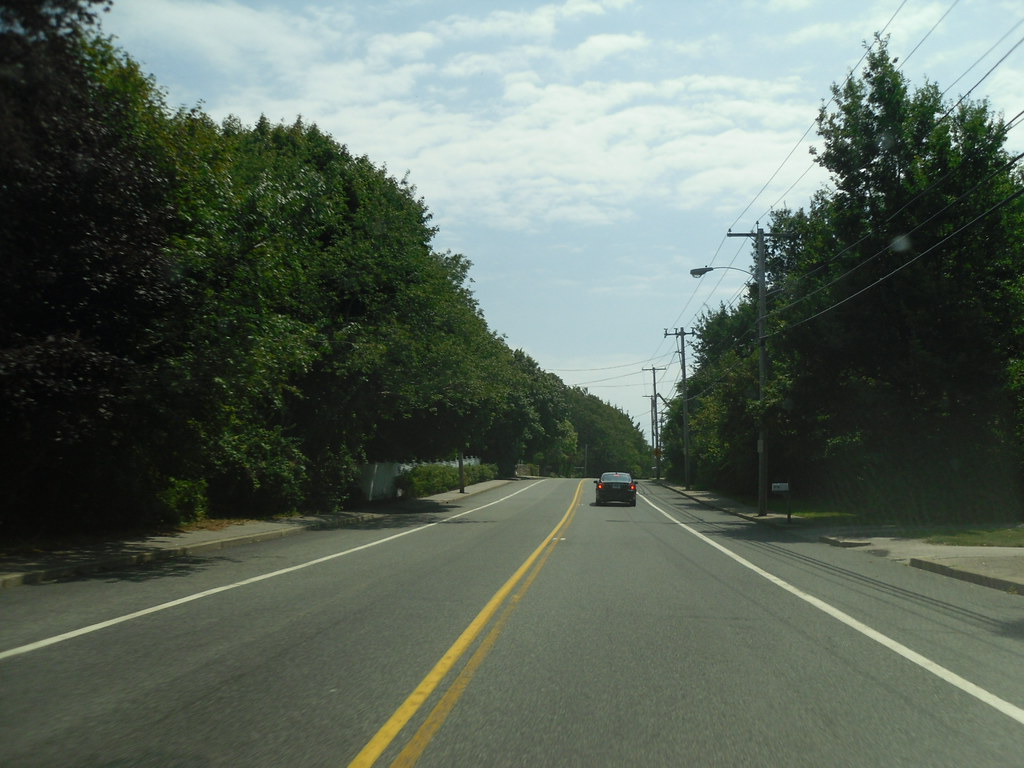
U.S. Route 1A, largely signed as Scenic 1A, is a 33.3-mile (53.6 km) long numbered state highway located in Washington County, Rhode Island, United States. The route, which parallels U.S. Route 1 (US1) for its entire length, has four distinct sections connected by US1, two of which require median U-turn ramps to cross US1.
It travels through five towns in Washington County: Westerly, Charlestown, South Kingstown, Narragansett, and North Kingstown. Route 1A provides scenic views of the Atlantic Ocean and Narragansett Bay, and it passes through several popular tourist destinations, such as the beaches of Narragansett and the historic Watch Hill village.
Route 1A should not be confused with U.S. Route 1A, which exists north of Route 1A in Providence County, beginning in Warwick and crossing into Massachusetts in Pawtucket, Rhode Island. Route 1A is an important route for tourists and locals alike, providing access to some of Rhode Island’s most picturesque coastal areas.
Route 6

U.S. Route 6 (US 6) is a major east-west road in the U.S. state of Rhode Island. Nationally, the route continues west to Bishop, California, and east to Provincetown, Massachusetts. In western Rhode Island, it forms part of one of several routes between Hartford, Connecticut, and Providence and was planned to be replaced by Interstate 84 (I-84).
The part of I-84 that was built, from I-295 to Olneyville, is now part of US 6. At Olneyville, US 6 joins Route 10 and heads east toward Downtown Providence, where it turns south on I-95 and east on I-195. US 6 splits from I-195 in East Providence, crossing into Massachusetts on Warren Avenue.
The whole route of US 6 is a state highway maintained by the Rhode Island Department of Transportation (RIDOT). US 6 is an important transportation route in Rhode Island, connecting the state to other parts of New England and facilitating the movement of people and goods.
Along the way, it passes through several cities and towns in Rhode Island, including Johnston, Cranston, and East Providence. US 6 is a vital route for commuters, commercial traffic, and tourists alike, and it continues to play a key role in Rhode Island’s transportation infrastructure.
Route 44

US 44 runs 26.2 miles (42.2 km) in Rhode Island, often referred to locally as “Putnam Pike” as the road runs through Rhode Island and into Putnam, Connecticut. The highway enters the state at Glocester, traveling through Chepachet and Harmony, villages of Glocester, as it heads through the Waterman Reservoir towards the village of Greenville in the town of Smithfield. US 44 has a junction with I-295 in Smithfield at a cloverleaf interchange.
Soon after the I-295 junction, US 44 enters the town of North Providence along Smith Street, then enters the city proper of Providence after another 1.7 miles (2.7 km). In downtown Providence, US 44 separates into one-way pairs. Eastbound US 44 runs along Canal Street and South Water Street (via a section of Memorial Boulevard), while westbound US 44 runs along South Main Street and North Main Street.
US 44 joins I-195/US 6 at Exit 1B as they cross the Seekonk River into East Providence. US 44 leaves I-195/US 6 at Exit 1C just after crossing the river and continues east towards the Massachusetts state line along Taunton Avenue. US 44 is an important transportation route in Rhode Island, connecting the state to other parts of New England and facilitating the movement of people and goods.
It passes through several cities and towns in Rhode Island, including Glocester, Smithfield, North Providence, and Providence. US 44 is an essential route for commuters, commercial traffic, and tourists alike, and it continues to play a key role in Rhode Island’s transportation infrastructure.

