Oregon, located in the northwestern region of the United States, is a state known for its stunning natural beauty, rich history, and vibrant culture. With its towering mountains, expansive forests, and charming small towns, Oregon offers a unique blend of outdoor adventure and cultural experiences. To help visitors and residents navigate this beautiful state, we have created a detailed road map of Oregon with cities and highways.
This map highlights Oregon’s major cities, including Portland, Eugene, Salem, and Bend, as well as its primary highways and roads. Whether you’re planning a road trip or simply want to explore Oregon’s distinctive landscape and culture, this map is an essential tool. So, grab your map and get ready to discover all that Oregon has to offer, from its world-renowned wineries to its stunning national parks and everything in between.
Printable Oregon Map With Cities and Highways

Cities
Albany
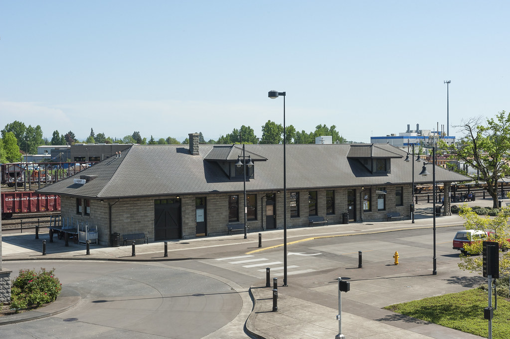
Albany, Oregon, is the county seat of Linn County and the eleventh-largest city in the state. Located in the Willamette Valley at the confluence of the Calapooia River and the Willamette River in both Linn and Benton counties, just east of Corvallis and south of Salem, Albany was founded around 1848.
Today, the city is predominantly a farming and manufacturing center, with a population of 56,472 as of the 2020 United States Census. Albany has a home rule charter and a council-manager government, with a full-time unelected city manager.
The city offers residents access to over 30 parks and trails, a senior center, and many cultural events, including the Northwest Art & Air Festival, River Rhythms, Summer Sounds, and Movies at Monteith. In addition to farming and manufacturing, the city’s economy relies on retail trade, health care, and social assistance. Albany has recently worked to revitalize its downtown shopping area with help from the Central Albany Revitalization Area.
Ashland

Ashland is a city in Jackson County, Oregon, located along Interstate 5 approximately 16 miles (26 km) north of the California border and near the south end of the Rogue Valley. With a population of 21,360 as of the 2020 census, Ashland is home to Southern Oregon University (SOU) and the Oregon Shakespeare Festival (OSF), which are important to the city’s economy.
The city also relies on restaurants, galleries, and retail stores that cater to tourists. Lithia Park along Ashland Creek, historic buildings, and a paved intercity bike trail provide additional visitor attractions.
Originally called “Ashland Mills,” the city was named after Ashland County, Ohio, the original home of founder Abel Helman, and secondarily for Ashland, Kentucky, where other founders had family connections. Ashland has a council-manager government assisted by citizen committees. The city’s liberal politics have historically differed, often sharply, from much of the rest of southwest Oregon.
Beaverton

Beaverton is a city in Washington County, Oregon, with a small portion bordering Portland in the Tualatin Valley. As one of the main cities that make up the Portland metropolitan area, Beaverton had a population of 97,494 as of the 2020 census, making it the second-largest city in the county and the seventh-largest city in Oregon.
Beaverton serves as an economic center for Washington County along with neighboring Hillsboro. The city is home to the world headquarters of Nike, Inc., although it sits outside of city limits on unincorporated county land. Prior to the arrival of European-American settlers in the 19th century, the Tualatin Valley was inhabited by the hunter-gatherer Atfalati tribe of the Kalapuya people.
They occupied a village near the Beaverton and Fanno creeks called Chakeipi, which meant “place of the beaver,” and early white settlers referred to this village as Beaverdam. Lawrence Hall took up the first land claim in 1847 and established a grist mill. The entry of a railroad in 1868 spurred growth in the small farming communities and led to the town’s development into the thriving city it is today.
Bend

Bend is the largest city in Central Oregon, located on the eastern edge of the Cascade Range along the Deschutes River. As the principal city of the Bend Metropolitan Statistical Area and the county seat of Deschutes County, Bend had a population of 99,178 at the time of the 2020 U.S. Census, up from 76,693 in 2010, and 52,029 in 2000.
The Bend metro population was 198,253 as of the 2020 census, making it the fifth-largest metropolitan area in Oregon. Settlement in Bend began in the early 1900s as a crossing point on the river, and the city was incorporated in 1905. Initially a logging town, Bend has since become a gateway for many outdoor sports, including mountain biking, fishing, hiking, camping, rock climbing, white-water rafting, skiing, paragliding, and golf.
In 2023, the city will also be home to the last Blockbuster video rental store. The city’s location on the edge of the Cascade Range creates a unique landscape where the Ponderosa pine forest transitions into the high desert, characterized by arid land, junipers, sagebrush, and bitterbrush.
Canby
Canby is a city in Clackamas County, Oregon, located along Oregon Route 99E, 2 miles (3 km) northeast of Barlow. As of the 2020 census, the population of Canby was 18,171. The city is known for its historic downtown district, which features a variety of shops, restaurants, and community events.
Canby is also home to the Clackamas County Fairgrounds, which hosts the annual Clackamas County Fair and Rodeo. The city’s economy is primarily based on agriculture, with many farms and nurseries in the surrounding area.
Canby’s location in the Willamette Valley makes it an ideal location for growing crops such as hazelnuts, berries, and Christmas trees. The city’s proximity to the Portland metropolitan area also provides residents with easy access to urban amenities while still enjoying a small-town atmosphere.
Central Point

Central Point is a city in Jackson County, Oregon, located in the Medford metropolitan area. As of the 2010 census, the population of Central Point was 17,169. The city shares its southern border with Medford and is known for its close proximity to the Rogue River, which provides a variety of recreational opportunities, including fishing, rafting, and kayaking.
Central Point is also home to the Jackson County Fair, which occurs in July and features a variety of attractions, including carnival rides, livestock exhibits, and live entertainment. The city’s economy is primarily based on agriculture, with many farms and orchards in the surrounding area.
In recent years, Central Point has experienced significant growth, with new residential and commercial developments springing up throughout the city. Despite this growth, Central Point has managed to maintain its small-town feel and is known for its friendly community and welcoming atmosphere.
City of the Dalles
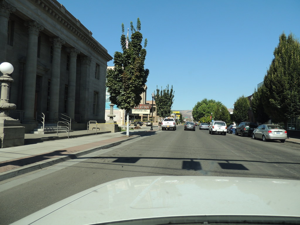
The Dalles, also known as Dalles City, is an inland port and the largest city in Wasco County, Oregon. Located within the Columbia River Gorge National Scenic Area, The Dalles is the largest city in Oregon along the Columbia River outside the Portland Metropolitan Area. As of the 2020 census, the population of The Dalles was 16,010.
The city’s location along the Columbia River has made it an important transportation hub throughout its history. Today, The Dalles is home to a thriving agricultural industry, with many orchards, vineyards, and farms in the surrounding area.
The city also has a strong tourism industry, with visitors coming to explore the Columbia River Gorge, hike in nearby state parks, and attend the annual Northwest Cherry Festival. The Dalles is located 75 miles (121 km) east of Portland, making it a popular day trip destination for visitors to the Portland area.
Coos Bay

Coos Bay is a city located in Coos County, Oregon, where the Coos River meets the Pacific Ocean. The city borders the city of North Bend, and together they are often referred to as one entity called either Coos Bay-North Bend or Oregon’s Bay Area. With a population of 15,985 residents as of the 2020 census, Coos Bay is the most populous city on the Oregon Coast.
The greater Oregon’s Bay Area is estimated to be home to 32,308 people. Coos Bay has a rich history as a center for the timber industry, with many sawmills and logging operations in the surrounding area. Today, the city’s economy is more diverse, with healthcare, education, and tourism playing important roles.
Visitors to Coos Bay can enjoy a variety of outdoor activities, including hiking, fishing, crabbing, and beachcombing. The city is also home to a number of cultural attractions, including the Coos Art Museum and the Egyptian Theatre, a restored movie palace from the 1920s.
Corvallis
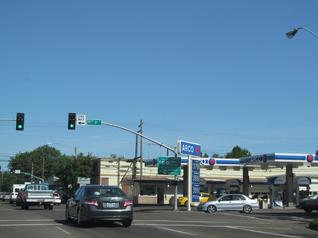
Corvallis is a city located in central western Oregon and serves as the seat of government for Benton County. It is the principal city of the Corvallis, Oregon Metropolitan Statistical Area, which encompasses all of Benton County. As of the 2020 United States Census, the population of Corvallis was 59,922.
Corvallis is home to Oregon State University, which is one of the city’s largest employers and contributes significantly to the local economy. The city is also home to Good Samaritan Regional Medical Center, which provides healthcare services to residents of the region.
Corvallis is notable for being the westernmost city in the contiguous 48 states with a population larger than 50,000. The city’s location in the heart of the Willamette Valley makes it an ideal location for agriculture, and the surrounding area is home to many wineries and farms. Corvallis is also known for its vibrant arts and culture scene, with many galleries, theaters, and music venues throughout the city.
Dallas

Dallas is a city located in Polk County, Oregon, and serves as the county seat. As of the 2020 census, the population of Dallas was 16,854. The city is situated along Rickreall Creek, about 15 miles (24 km) west of Salem, at an elevation of 325 feet (99 m) above sea level. Dallas is part of the Salem Metropolitan Statistical Area and is known for its small-town charm and friendly community.
The city’s downtown area features a variety of shops, restaurants, and community events, including the annual Summerfest celebration. Dallas is also home to a number of parks and recreational opportunities, including the Dallas Aquatic Center and the Rickreall Creek Trail.
The city’s location in the heart of the Willamette Valley makes it an ideal location for agriculture, and the surrounding area is home to many farms and orchards. Despite its small size, Dallas offers residents easy access to the amenities of nearby Salem and is a popular destination for those seeking a quieter, more laid-back lifestyle.
Eugene
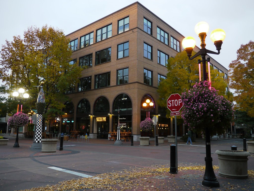
Eugene is the second largest city in the state of Oregon, after Portland, and serves as the seat of Lane County. Located at the southern end of the Willamette Valley, near the confluence of the McKenzie and Willamette rivers, Eugene is about 50 miles (80 km) east of the Oregon Coast.
As of the 2020 United States Census, the population of Eugene was 176,654, covering a city area of 44.21 sq mi (114.5 km2). The Eugene-Springfield metropolitan statistical area is the second largest in Oregon behind Portland. Eugene is known for its natural environment, recreational opportunities, and focus on the arts.
The city is home to the University of Oregon, Bushnell University, and Lane Community College. Eugene’s official slogan is “A Great City for the Arts and Outdoors,” and it is also referred to as the “Emerald City” and “Track Town, USA.” The Nike corporation had its beginnings in Eugene, and in July 2022, the city hosted the 18th World Athletics Championship.
Grants Pass

Grants Pass is a city located in Josephine County, Oregon, and serves as the county seat. The city is situated along the Rogue River, northwest of Medford, and is easily accessible via Interstate 5. As of the 2021 census, the population of Grants Pass was 39,674. The city is known for its natural beauty, with many parks and recreational opportunities in the surrounding area.
Visitors to Grants Pass can enjoy hiking, fishing, rafting, and kayaking on the Rogue River, as well as exploring the numerous art galleries and antique shops in the downtown area. Grants Pass is also home to the Rogue Valley International-Medford Airport, which provides air service to the region.
The city’s economy is primarily based on healthcare, education, and tourism, with many residents employed by the healthcare industry and the nearby Rogue Community College. Despite its growing population, Grants Pass maintains a small-town feel and is known for its friendly community and welcoming atmosphere.
Gresham

Gresham is a city located in Multnomah County, Oregon, immediately east of Portland. It is considered a suburb within the Greater Portland Metropolitan area. Although Gresham began as a settlement in the mid-1800s, it was not officially incorporated as a city until 1905 and was named after Walter Quintin Gresham, the American Civil War general and United States Secretary of State.
The city’s early economy was sustained largely by farming, and by the mid-20th century, Gresham experienced a population boom, growing from 4,000 residents to over 10,000 between 1960 and 1970. As of the 2020 census, the population of Gresham was 114,247, making it the fourth-largest city in Oregon. Today, the city’s economy is diverse, with healthcare, education, and retail playing important roles.
Gresham is home to the Mt. Hood Community College and the Gresham-Barlow School District, which serves students in the area. The city also offers a variety of recreational opportunities, including parks, trails, and community events. Despite its growth, Gresham maintains a robust sense of community and is known for its charming atmosphere.
Hermiston

Hermiston is a city located in Umatilla County, Oregon, and is the largest city in Eastern Oregon with a population of 19,973. It is also the largest and fastest-growing city in the Hermiston-Pendleton Micropolitan Statistical Area, the eighth largest Core Based Statistical Area in Oregon with a combined population of 92,261 at the 2020 census.
Hermiston is situated near the junction of I-82 and I-84 and is 7 miles south of the Columbia River, Lake Wallula, and the McNary Dam. Due to its strategic location, the Hermiston area has become a hub for logistics and data center activity. The city is also known for its watermelons, which are part of its branding.
Hermiston’s economy is diverse, with agriculture, healthcare, and logistics playing important roles. The city is home to Good Shepherd Medical Center and the Hermiston School District, which serves students in the area. Despite its growth, Hermiston maintains a small-town feel and is known for its friendly people and convivial atmosphere.
Hillsboro

Hillsboro is the fifth-largest city in the state of Oregon and serves as the county seat of Washington County. Situated in the Tualatin Valley on the west side of the Portland metropolitan area, the city is home to many high-technology companies, including Intel, locally known as the Silicon Forest. At the 2020 census, the population of Hillsboro was 106,447.
The area has a rich history, with the Atfalati tribe of the Kalapuya living in the Tualatin Valley for thousands of years before settlers arrived in 1842. The city was named after David Hill, an Oregon politician. Hillsboro’s economy is diverse, with high-tech industry, healthcare, retail sales, and agriculture all playing important roles.
The city operates more than twenty parks and the mixed-use Hillsboro Stadium, and ten sites in the city are listed on the National Register of Historic Places. The city is also home to Pacific University’s Health Professions Campus. Hillsboro’s transportation options include private vehicles, public buses, light rail, and aircraft using the Hillsboro Airport. Notable residents of Hillsboro include two Oregon governors.
Keizer

Keizer is a city located in Marion County, Oregon, along the 45th parallel. As of the 2020 United States Census, the population of Keizer was 39,376. The city lies in the Willamette Valley and is part of the Salem Metropolitan Statistical Area. Keizer was named after pioneer Thomas Dove (T.D.) Keizur and his family, who arrived on the Wagon Train of 1843 and later filed donation land claims.
Today, Keizer is a thriving community known for its family-friendly atmosphere and strong sense of community. The city offers a variety of recreational opportunities, including parks, trails, and community events. Keizer also has a growing economy, with healthcare, education, and retail playing important roles.
The city is home to the Chemeketa Community College and the Salem-Keizer School District, which serves students in the area. Despite its growing population, Keizer maintains a small-town feel and is known for its friendly residents and welcoming atmosphere.
Klamath Falls

Klamath Falls is a city located in Klamath County, Oregon, and serves as the county seat. The city was originally called Linkville when George Nurse founded the town in 1867, named after the Link River, on whose falls the city was sited. The name was changed to Klamath Falls in 1893. As of the 2020 census, the population of Klamath Falls was 21,813.
The city is situated on the southeastern shore of the Upper Klamath Lake and is located about 246 miles northwest of Reno, Nevada, and approximately 17 miles north of the California-Oregon border. Logging was Klamath Falls’s first major industry, and the city has a rich history in the timber industry.
Today, the city’s economy is diverse, with healthcare, education, and retail playing important roles. Klamath Falls is home to the Oregon Institute of Technology and the Klamath County School District, which serves students in the area.
The city also offers a variety of recreational opportunities, including parks, trails, and water sports on the nearby lakes and rivers. Despite its growing population, Klamath Falls maintains a small-town feel and is known for its charming community and great atmosphere.
La Grange
La Grande is a city located in Union County, Oregon, and is Union County’s largest city, with a population of 13,082 at the time of the 2010 U.S. Census. The La Grande metro population is 25,076, making it the 16th largest metropolitan area in Oregon. The city is located within the Grande Ronde Valley and is the only true valley in Oregon as it is surrounded by mountains.
The Blue Mountains, Elkhorn Mountains, Eagle Cap Wilderness, and Grande Ronde River offer an abundance of natural resources and wildlife. La Grande’s economy began as a logging and agriculture town but is now identified as a gateway for many outdoor sports, including mountain biking, fishing, hiking, camping, rock climbing, white-water rafting, skiing, paragliding, and golf.
The city is the hub for surrounding communities, offering outdoor recreation, shopping centers, and entertainment. La Grande is known for its theater and arts, as the downtown area boasts Liberty Theater and the Elgin Opera House, which often has local showings.
The city is also a college town, with a student population of 2,825 at Eastern Oregon University. Popular outdoor activities include visiting the Mt. Emily Recreation Area (MERA) to ATV, hike, or mountain bike, or stopping at Hot Lakes Resort to soak in the natural hot springs or enjoy some fishing on the Grande Ronde or at Morgan Lake.
Lake Oswego

Lake Oswego is a city primarily located in Clackamas County, Oregon, with small portions extending into neighboring Multnomah and Washington counties. As of 2020, the population of Lake Oswego was 40,731, representing an 11.2% increase since 2010. The city is situated about 7 miles south of Portland and surrounds the 405-acre Oswego Lake. Lake Oswego was founded in 1847 and incorporated as Oswego in 1910.
The city was the hub of Oregon’s brief iron industry in the late 19th century and is today a suburb of Portland. Lake Oswego is known for its natural beauty, with many parks and green spaces throughout the city, including Tryon Creek State Natural Area and George Rogers Park. The city also offers a variety of recreational opportunities, including boating, fishing, and hiking.
Lake Oswego is home to several excellent schools, including Lake Oswego High School, which has been recognized as one of the best high schools in the state. The city is also home to a vibrant arts community, with several galleries and theaters in the downtown area. Despite its growth, Lake Oswego maintains a small-town feel and is known for its friendly people and high quality of life.
Lebanon

Lebanon is a city located in Linn County, Oregon, southeast of Salem. As of the 2020 census, the population of Lebanon was 19,690. The city sits beside the South Santiam River on the eastern edge of the Willamette Valley, close to the Cascade Range and a 25-minute drive to either of the larger cities of Corvallis and Albany. Lebanon is known for its foot-and-bike trails, its waterside parks, and its small-town character.
The city offers a variety of recreational opportunities, including hiking, fishing, and camping in nearby forests. Lebanon is also home to several excellent schools, including Lebanon High School, which has been recognized as one of the best high schools in the state.
The city’s economy is diverse, with healthcare, education, and manufacturing playing important roles. Lebanon is home to Samaritan Lebanon Community Hospital, which serves residents in the area. Despite its growing population, Lebanon maintains a small-town ambiance and is known for its delightful community and welcoming atmosphere.
McMinnville

McMinnville is the county seat of and largest city in Yamhill County, Oregon. The city is named after McMinnville, Tennessee, and as of the 2020 census, it had a population of 34,319. McMinnville is located at the confluence of the North and South forks of the Yamhill River in the Willamette Valley. The city’s economy is diverse, with both industry and service businesses playing important roles.
Cascade Steel, a Schnitzer Steel Industries company, is one of the major employers in the area, along with Oregon Mutual Insurance Company and the Woodworth Contrarian Hedge Fund. Linfield University provides higher education, including new degrees in wine studies. McMinnville is home to several attractions, including Wings and Waves Water Park, Joe Dancer Park, and the Evergreen Aviation & Space Museum, which is the home of Howard Hughes’s famed Spruce Goose flying boat.
The city is also known as a center of the well-developed wine industry in the Willamette Valley, which has hundreds of wineries and vineyards. McMinnville’s downtown area is a popular destination for tourists, with a variety of shops, restaurants, and wine-tasting rooms. Despite its flourishing population and economic development, McMinnville maintains a delightful and welcoming atmosphere.
Medford

Medford is a city located in Jackson County, Oregon, and serves as the county seat. As of the 2020 United States Census, the city had a total population of 85,824, with a metropolitan area population of 223,259, making the Medford MSA the fourth largest metro area in Oregon.
The city was named in 1883 by David Loring, civil engineer and right-of-way agent for the Oregon and California Railroad, after Medford, Massachusetts, which was near Loring’s hometown of Concord, Massachusetts. Medford is located near the middle ford of Bear Creek and is known for its natural beauty, with many parks and green spaces throughout the city, including the popular Bear Creek Park.
The city’s economy is diverse, with healthcare, education, and retail playing important roles. Medford is home to several excellent schools, including South Medford High School, which has been recognized as one of the best high schools in the state. The city also offers a variety of recreational opportunities, including hiking, fishing, and skiing in nearby mountains.
Milwaukie
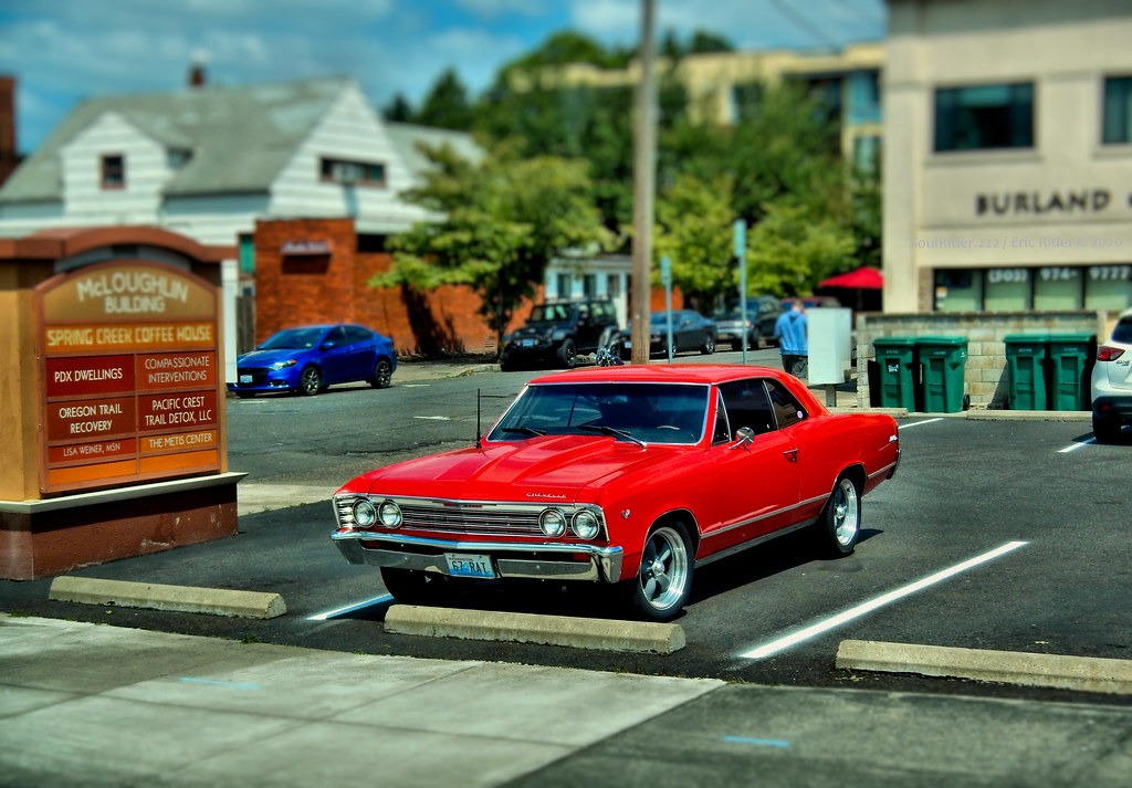
Milwaukie is a city located mostly in Clackamas County, Oregon, with a small portion extending into Multnomah County. As of the 2020 census, the population of Milwaukie was 21,119. Founded in 1847 on the banks of the Willamette River, the city is known as the Dogwood City of the West and was incorporated in 1903. Milwaukie is the birthplace of the Bing cherry and is a suburb of Portland, adjoining the unincorporated areas of Clackamas and Oak Grove.
The city offers a variety of recreational opportunities, including hiking and fishing in nearby forests and rivers. Milwaukie is also home to several excellent schools, including Milwaukie High School, which has been recognized as one of the best high schools in the state. The city’s economy is diverse, with healthcare, education, and manufacturing playing important roles.
Milwaukie is known for its small-town feel and is home to several community events throughout the year, including the Milwaukie Farmers Market and the Milwaukie Daze Festival. Despite its proximity to Portland, Milwaukie maintains its own unique character and is known for its friendly locals and welcoming ambiance.
Newberg
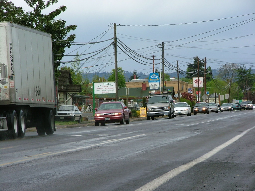
Newberg is a city located in Yamhill County, Oregon, and is part of the Portland metropolitan area. The city is home to George Fox University, a private Christian university. As of the 2020 census, the population of Newberg was 25,138, making it the second most populous city in the county.
Newberg is known for its natural beauty, with many parks and green spaces throughout the city, including the popular Chehalem Glenn Golf Course and Rogers Landing County Park. The city’s economy is diverse, with healthcare, education, and manufacturing playing important roles. Newberg is home to several superb schools, including Newberg High School, which has been recognized as one of the best high schools in the state.
The city also offers a variety of recreational opportunities, including hiking, fishing, and wine tasting in nearby vineyards. Despite its flourishing population and economy, Newberg maintains a quaint and charming atmosphere.
Ontario
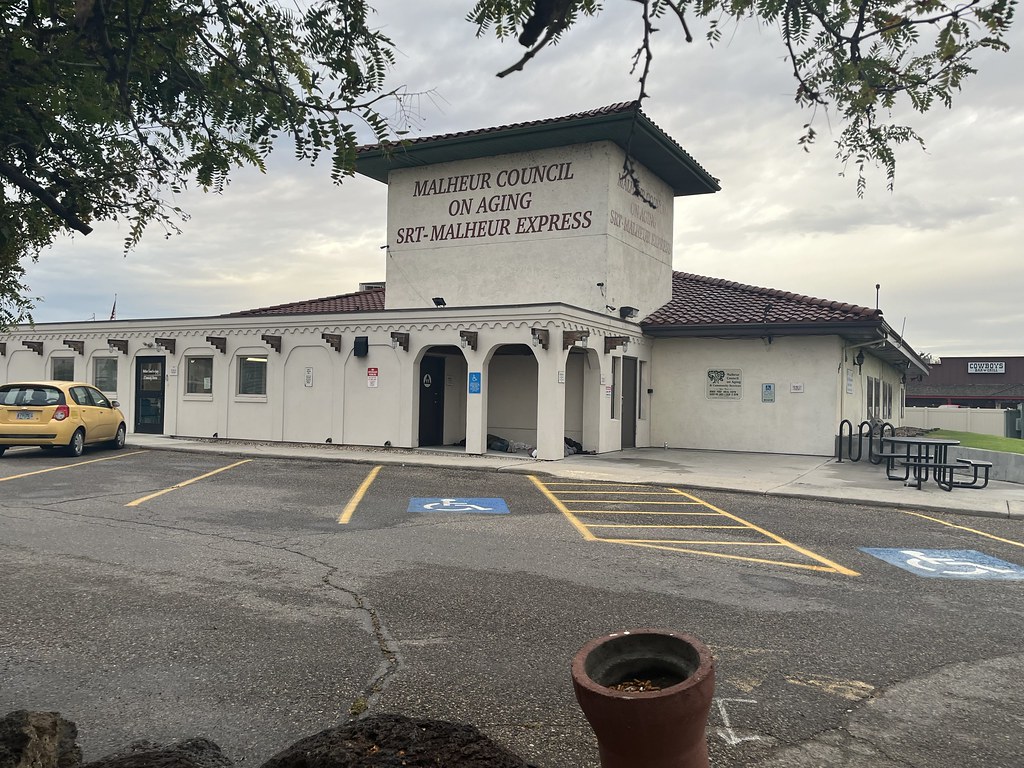
Ontario is the largest city in Malheur County, Oregon, and lies along the Snake River at the Idaho border. The population of Ontario was 11,366 at the 2010 census. The city is the largest community in the region of far eastern Oregon, also known as the Western Treasure Valley. Ontario is the principal city of the Ontario, OR-ID Micropolitan Statistical Area, which includes Malheur County in Oregon and Payette County in Idaho.
The city is approximately halfway between Portland and Salt Lake City and is the closest city to the Idaho border along Interstate 84. Ontario is known for its natural beauty, with many parks and green spaces throughout the city, including the popular Lions Park. The city’s economy is diverse, with agriculture, healthcare, and manufacturing playing important roles.
Ontario is home to several excellent schools, including Ontario High School, which has been recognized as one of the best high schools in the state. The city’s slogan, “Where Oregon Begins,” reflects its position as the eastern gateway to Oregon.
Oregon City

Oregon City is the county seat of Clackamas County, Oregon, and is located on the Willamette River near the southern limits of the Portland metropolitan area. As of the 2020 census, the population of Oregon City was 37,572. Established in 1829 by the Hudson’s Bay Company, the city has a rich history and was the first U.S. city west of the Rocky Mountains to be incorporated in 1844.
Oregon City is known for its natural beauty, with many parks and green spaces throughout the city, including the popular Clackamette Park. The city’s economy is diverse, with healthcare, education, and manufacturing playing important roles. Oregon City is home to several excellent schools, including Oregon City High School, which has been recognized as one of the best high schools in the state.
The city is also home to several historic sites, including the Oregon City Municipal Elevator, which is the only vertical street in North America and provides sweeping views of the city and surrounding area. Despite its growth and development, Oregon City maintains a delightful and welcoming atmosphere.
Pendleton
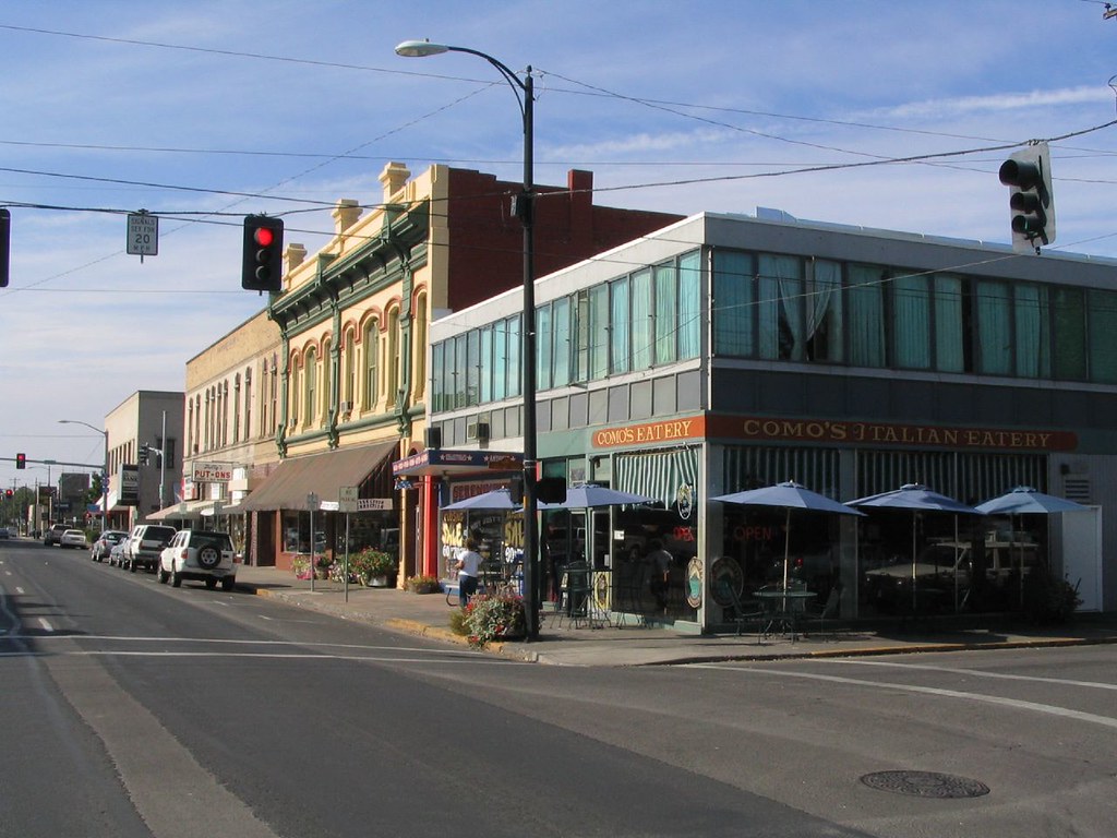
Pendleton is a city located in and serving as the county seat of Umatilla County, Oregon. As of the 2020 census, the population of Pendleton was 17,107, which includes approximately 1,600 people who are incarcerated at Eastern Oregon Correctional Institution. Pendleton is the smaller of the two principal cities of the Hermiston-Pendleton Micropolitan Statistical Area, which covers Morrow and Umatilla counties and had a combined population of 92,261 at the 2020 census.
The city is known for its natural beauty, with many parks and green spaces throughout the city, including the popular Pioneer Park. Pendleton is also home to several excellent schools, including Pendleton High School, which has been recognized as one of the best high schools in the state.
The city’s economy is diverse, with agriculture, healthcare, and manufacturing playing important roles. Pendleton is known for its rich history and cultural heritage, with several historic sites and museums throughout the city, including the famous Pendleton Woolen Mills.
Portland

Portland is the most populous city in the U.S. state of Oregon and a major port city in the Pacific Northwest. Situated at the confluence of the Willamette and Columbia rivers, Portland is the county seat of Multnomah County, the most populous county in Oregon. As of 2020, Portland had a population of 652,503, making it the 26th-most populated city in the United States, the sixth-most populous on the West Coast, and the second-most populous in the Pacific Northwest, after Seattle.
Approximately 2.5 million people live in the Portland–Vancouver–Hillsboro, OR–WA metropolitan statistical area, making it the 25th most populous in the United States. About half of Oregon’s population resides within the Portland metropolitan area. The city has a rich history, with its settlement beginning in the 1840s near the end of the Oregon Trail. Its water access provided convenient transportation of goods, and the timber industry was a major force in the city’s early economy.
After experiencing an industrial boom during World War II, Portland’s reputation as one of the most dangerous port cities in the world began to dissipate. Today, Portland is known for its liberal and progressive political values, earning it a reputation as a bastion of counterculture. The city’s climate is marked by warm, dry summers and cool, rainy winters, making it ideal for growing roses, and Portland has been called the “City of Roses” for over a century.
Redmond
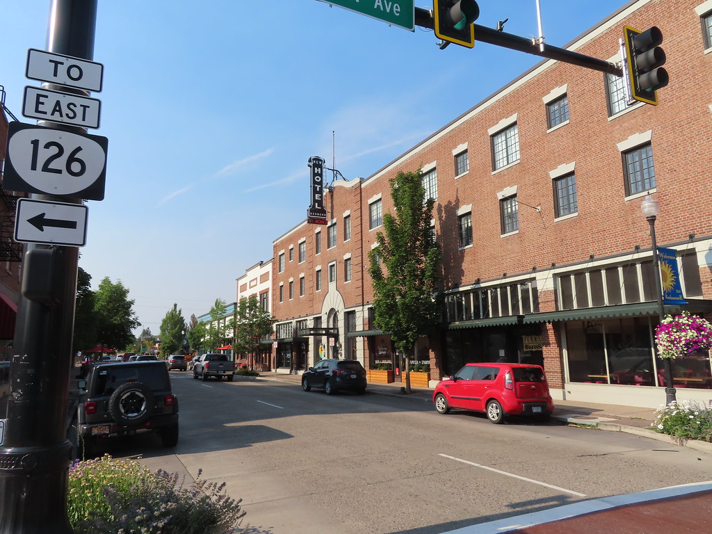
Redmond is a city located in Deschutes County, Oregon, and was incorporated on July 6, 1910. The city is situated on the eastern side of Oregon’s Cascade Range, in the High Desert in Central Oregon. With access to a variety of recreational opportunities, Redmond is a full-service municipality and one of the fastest-growing industrial and residential communities in Oregon.
As of 2019, Redmond had a population of 32,421, and the population continues to grow at a rate of about 6.7 percent each year. The city encompasses 15.5 square miles and is on a plateau at an elevation of 3,077 feet. Redmond is located 15 miles north of Bend, the county seat of Deschutes County, and is 144 miles from Portland, 129 miles from Salem—the capital of Oregon—and 126 miles from Eugene.
Redmond’s economy is diverse, with healthcare, education, and manufacturing playing important roles. The city is home to several excellent schools, including Redmond High School, which has been recognized as one of the best high schools in the state. Despite its growth and development, Redmond remains a charming and low-key destination.
Roseburg

Roseburg is a city located in the Umpqua River Valley in southern Oregon and serves as the county seat and most populous city of Douglas County. Founded in 1851, Roseburg has a rich history and is known for its natural beauty, with many parks and green spaces throughout the city.
As of the 2020 census, the population of Roseburg was 23,683, making it the principal city of the Roseburg, Oregon Micropolitan Statistical Area. The community developed along both sides of the South Umpqua River and is traversed by Interstate 5. Traditionally a lumber industry town, Roseburg was the original home of Roseburg Forest Products, which is now based in nearby Springfield.
The city’s economy is diverse, with healthcare, education, and manufacturing playing important roles. Roseburg is home to several excellent schools, including Roseburg High School, which has been recognized as one of the best high schools in the state.
Salem
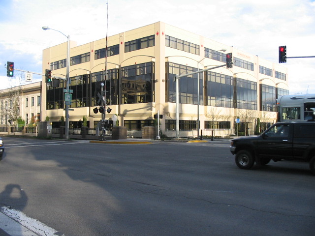
Salem is the capital city of the U.S. state of Oregon and serves as the county seat of Marion County. Founded in 1842, the city is located in the center of the Willamette Valley alongside the Willamette River, which runs north through the city. The river forms the boundary between Marion and Polk counties, and the city neighborhood of West Salem is in Polk County.
Salem had a population of 175,535 at the 2020 census, making it the third-largest city in the state after Portland and Eugene. Salem is the principal city of the Salem Metropolitan Statistical Area, which covers Marion and Polk counties, and had a combined population of 433,353 at the 2020 census. The city is home to several excellent schools, including Willamette University, Corban University, and Chemeketa Community College.
The State of Oregon is the largest public employer in the city, and Salem Health is the largest private employer. Transportation includes public transit from Cherriots, Amtrak service, and non-commercial air travel at McNary Field. Major roads include Interstate 5, Oregon Route 99E, and Oregon Route 22, which connects West Salem across the Willamette River via the Marion Street and Center Street bridges.
Springfield

Springfield is a city located in Lane County, Oregon, and is within the Eugene-Springfield Metropolitan Statistical Area. Separated from Eugene to the west by Interstate 5, Springfield is the second-most populous city in the metropolitan area after Eugene. As of the 2020 census, the city has a total population of 61,851.
The Briggs family first settled in the Springfield area, arriving in 1848, and the community was incorporated as a city in 1885. The city was named after a natural spring located in a field or prairie within the current city boundaries. For much of the 20th century, the economy of Springfield was largely dependent on the Oregon timber industry.
Since the 1990s, however, the economy has diversified, with PeaceHealth now the largest employer in the city. Public education in the city is provided by the Springfield School District, which includes several excellent schools, including Springfield High School.
Springfield is known for its natural beauty, with many parks and green spaces throughout the city, including the popular Dorris Ranch Living History Farm. Despite its growth and development, Springfield maintains a small-town feel and is known for its friendly community and welcoming atmosphere.
Tigard

Tigard is a city located in Washington County, Oregon, and is part of the Portland metropolitan area. Incorporated in 1961, the city is located south of Beaverton and north of Tualatin. As of the 2020 census, the population of Tigard was 54,539.
Interstate 5 and Oregon Route 217 are the main freeways in the city, with Oregon Route 99W and Oregon Route 210 serving as other major highways. Public transit service is provided by TriMet, via several bus routes and the WES Commuter Rail line.
Tigard is known for its excellent schools, including Tigard High School, which has been recognized as one of the best high schools in the state. The city is also home to several parks and green spaces, including Cook Park and Dirksen Nature Park.
Troutdale
Troutdale is a city located in Multnomah County, Oregon, immediately north of Gresham and east of Wood Village. As of the 2020 census, the population of Troutdale was 16,300. The city is known as the western gateway to the Historic Columbia River Highway, the Mount Hood Scenic Byway, and the Columbia River Gorge, making it a popular destination for tourists and outdoor enthusiasts.
Troutdale is approximately 12 miles east of Portland and is known for its natural beauty, with many parks and green spaces throughout the city, including the popular Glenn Otto Community Park.
The city is also home to several excellent schools, including Troutdale Elementary School and Reynolds High School. Despite its flourishing growth, Troutdale maintains a friendly and welcoming atmosphere.
Woodburn
Woodburn is a city located in Marion County, Oregon, and was incorporated in 1889. The community had been platted in 1871 after the arrival of the railroad. The city is located in the northern end of the Willamette Valley between Portland and Salem. Interstate 5 connects it to major cities to the north and south, while Oregon routes 211, 214, 219, and 99E also serve the city, as do Union Pacific and Willamette Valley Railway freight rail lines.
Woodburn is part of the Salem Metropolitan Statistical Area and has a population of 26,013 as of the 2020 census, making it the third-most populous city in that metropolitan area after Salem and Keizer. The city is known for its excellent schools, including Woodburn Academy of Art, Science and Technology and Woodburn Arts and Communications Academy.
Woodburn is also home to a number of parks and green spaces, including Legion Park and Settlemier Park. Despite its growth and development, Woodburn maintains a quaint and delightful atmosphere and is known for its marvelous community spirit.
Interstates
Interstate 5

Interstate 5 (I-5) is a major Interstate Highway that runs north to south in the U.S. state of Oregon. It travels to the west of the Cascade Mountains, connecting Portland to Salem, Eugene, Medford, and other major cities in the Willamette Valley and across the northern Siskiyou Mountains.
The highway stretches 308 miles (496 km) from the California state line near Ashland to the Washington state line in northern Portland, forming the central part of Interstate 5’s route between Mexico and Canada. I-5 was designated in 1957 and replaced U.S. Route 99 (US 99) for most of its length. The freeway also has three signed auxiliary routes that function as spurs and bypasses of major cities: I-105 in Eugene, I-205 in eastern Portland, and I-405 in downtown Portland.
Interstate 84

Interstate 84 (I-84) is a major Interstate Highway that traverses the U.S. state of Oregon from west to east. It is concurrent with U.S. Route 30 (US 30) for most of its length and runs 376 miles (605 km) from an interchange with I-5 in Portland to the Idaho state line near Ontario.
The highway follows the Columbia River and historic Oregon Trail in northeastern Oregon and is designated as part of Columbia River Highway No. 2 and all of the Old Oregon Trail Highway No. 6, with the entire length also designated as the Vietnam Veterans Memorial Highway. I-84 intersects several of the state’s main north–south roads, including US 97, US 197, I-82, and US 395.
The freeway serves as the main east–west route through Portland and Gresham and continues into the Columbia River Gorge National Scenic Area, passing through the cities of Hood River and The Dalles within the gorge and also serving several state parks and natural monuments. I-84 was established in 1957 and originally carried the designation of Interstate 80N (I-80N) until 1980.
Highways
Route 20
U.S. Route 20 (US 20) is a major cross-state highway in the northern part of the U.S. state of Oregon, connecting U.S. Route 101 in Newport on the central Oregon Coast to the Idaho state line east of Nyssa. The route is especially important east of the Cascade Mountains, where it serves as a major east–west highway connecting several cities and towns in central and eastern Oregon.
The highway passes through several cities and towns along its route, including Bend, Burns, and Ontario, and provides access to several popular tourist destinations, including the Newberry National Volcanic Monument and the Malheur National Wildlife Refuge. US 20 is also known as the Oregon Coast Highway No. 2 and the Santiam Wagon Road Scenic Byway. The highway was established in 1926 and has since undergone several realignments and improvements to its route.
Route 26

U.S. Route 26 (US 26) is a major cross-state highway in the U.S. state of Oregon, connecting U.S. Route 101 on the Oregon Coast near Seaside with the Idaho state line east of Nyssa. The highway is known by several local names, including Sunset Highway No. 47, Mount Hood Highway No. 26, and John Day Highway No. 5 before continuing into Idaho and beyond.
US 26 serves as a major transportation route through central and eastern Oregon, passing through several cities and towns, including Portland, Sandy, and Prineville. The highway provides access to several popular tourist destinations, including Mount Hood National Forest, the Oregon Trail Interpretive Center, and the Painted Hills. US 26 was established in 1926 and has since undergone several realignments and improvements to its route.
Route 30
U.S. Route 30 is a major east–west U.S. Highway that runs from its western terminus in Astoria to the Idaho border east of Ontario, making it the longest road in the state of Oregon at 477 miles. West of Portland, US 30 generally follows the southern shore of the Columbia River. East of Portland, the highway has largely been replaced with Interstate 84, although it is signed all the way across the state.
The highway diverges from the I-84 mainline in several towns, serving as a de facto business route. The state of Oregon does not sign Interstate business routes, instead using the designations US 30 and Oregon Route 99 (along the Interstate 5 corridor) for this purpose. US 30 spends the most time in Oregon out of all the states it traverses, and it provides access to several cities and towns, including Astoria, Portland, and Ontario.
Route 95
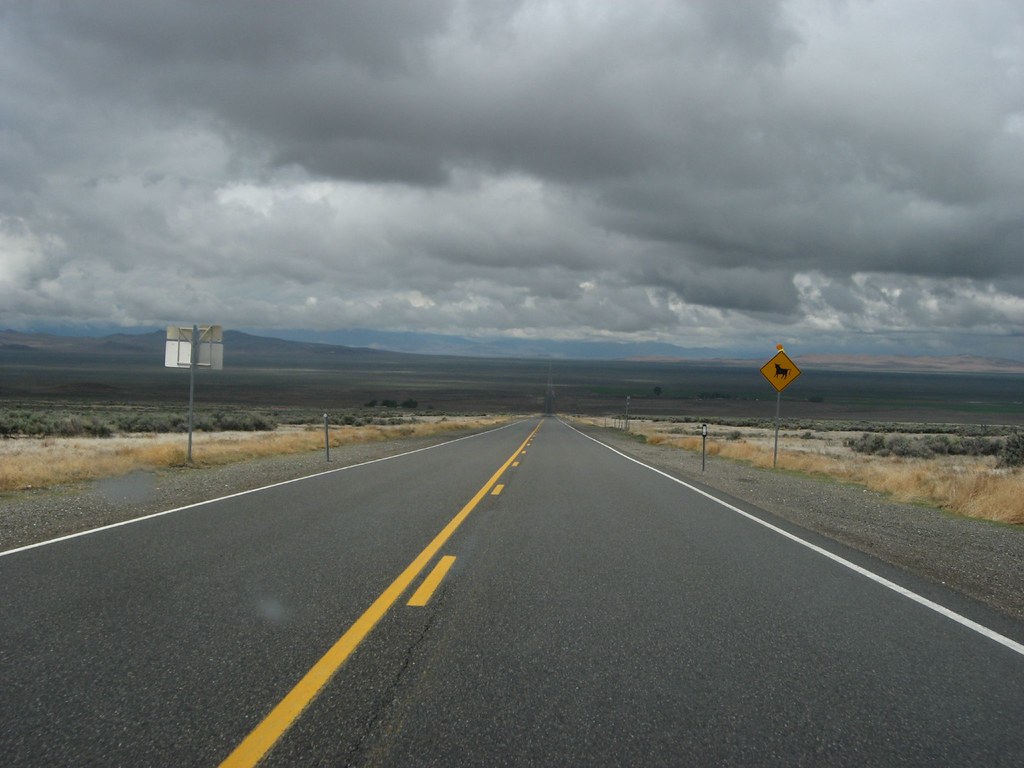
U.S. Route 95 (US 95) is an undivided two-lane highway in the southeastern corner of Oregon, running completely in rural Malheur County. The highway begins at the Nevada state line at McDermitt and heads north, gradually climbing to its crest at Blue Mountain Pass at an elevation of 5,293 feet (1,613 m) above sea level. US 95 descends to Basque Station and Burns Junction at 3,960 feet (1,210 m), then eastward down to Rome (3,390 ft [1,030 m]) and up to Jordan Valley (4,389 ft [1,338 m]).
The highway heads north-northeastward to the Idaho state line, entering southwest of Marsing in Owyhee County. US 95 is designated the I.O.N. Highway No. 456 and serves as a primary commercial route between Boise and northern California, connecting to I-80 at Winnemucca, Nevada. The speed limit on US 95 in Oregon was raised to 70 miles per hour (110 km/h) in March 2016 to match the speed limits set by Nevada and Idaho.
Route 97

U.S. Route 97 (US 97) is a major north–south United States highway in Oregon, running from the California border south of Klamath Falls to the Washington border on the Columbia River between Biggs Junction, Oregon, and Maryhill, Washington. Except for the northernmost stretch known as the Sherman Highway, US 97 (along with US 197) is known as The Dalles-California Highway.
In May 2009, the Oregon Senate passed a bill to rename US 97 as the “World War II Veterans Historic Highway.” With the exception of Interstate 5 (I-5), US 97 is the most important north–south highway corridor in the state, serving two major population centers (Klamath Falls and Bend) and acting as the main corridor east of the Cascade Mountains. While much of the highway remains in a two-lane undivided configuration, significant sections have been upgraded to expressway or freeway status.
Route 101

U.S. Route 101 (US 101) is a major north–south U.S. Highway in Oregon that runs along the western Oregon coastline near the Pacific Ocean. The highway runs from the California border south of Brookings to the Washington state line on the Columbia River between Astoria, Oregon, and Megler, Washington.
US 101 is designated as the Oregon Coast Highway No. 9 and serves the Oregon Coast region. Much of the highway runs between the Pacific Ocean and the Oregon Coast Range, making it frequently mountainous in character. For most of its length, it is a two-lane undivided highway.
Landslides caused by excessive rainfall often cause closures on many parts of the highway, and in many cases, US 101 is the only viable route connecting certain coastal communities. US 101 is often the main street through coastal towns in Oregon, causing significant traffic delays, especially in Lincoln City, where geography and tourism combine to create traffic problems.
Route 197

U.S. Route 197 (US 197) begins at an intersection with US 97 at Shaniko Junction in Wasco County, located between the cities of Madras and Shaniko in Central Oregon. The highway continues northwest over the 3,363-foot-high Criterion Summit and down along Stag Canyon through the community of Criterion towards Maupin. US 197 crosses the Deschutes River and a BNSF rail line on a warren truss bridge, becoming Deschutes Avenue as it passes through the city of Maupin.
The highway continues west into Juniper Flat and intersects with Oregon Route 216 (OR 216), designated as Wapinitia Highway No. 44. US 197 and OR 216 travel north and northwest to Tygh Valley, where OR 216 leaves the concurrency and heads east on Sherars Bridge Highway No. 290 towards Grass Valley. The lone highway continues north up Butler Canyon onto Tygh Ridge, passing through the 2,710-foot-high Tygh Grade Summit.
US 197 travels east of Dufur and down into the Columbia River Gorge, entering the city of The Dalles. The highway begins a 0.24-mile-long concurrency with US 30, traveling north over an east–west BNSF rail line to a diamond interchange with I-84 before leaving the state of Oregon on The Dalles Bridge and crossing over the Columbia River into Washington.
Route 199
U.S. Route 199 (US 199) is a U.S. Highway that stretches 80 miles (130 km) from US 101 near Crescent City, California, northeast to I-5 in Grants Pass, Oregon. The highway was established in 1926 as a spur of US 99, which has since been replaced by Interstate 5 (I-5). US 199 is the northern portion of the Redwood Highway and is officially known as Redwood Highway No. 25 in Oregon.
The majority of the road in California is the Smith River Scenic Byway, a National Forest Scenic Byway. Before the US 199 designation was applied to the highway, it was designated Highway 25 in Oregon and Route 1 in California. The first roadway, a plank road, from Crescent City was established in May 1858, and the highway has since become a vital transportation link between the two states, providing access to several communities and scenic attractions along the way.
Route 395
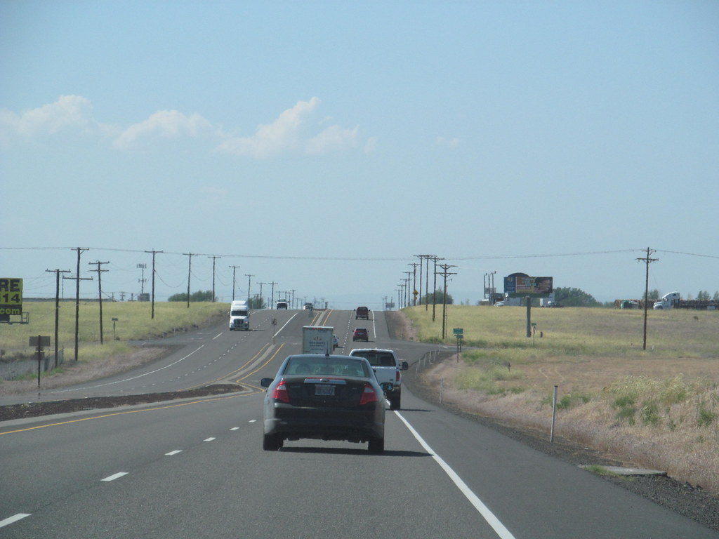
U.S. Route 395 (US 395) enters Oregon at New Pine Creek, then heads north to Lakeview, where it overlaps with Oregon Route 140 (OR 140) for five miles (8 km), before continuing north to Valley Falls. From Valley Falls, it turns northeast through Wagontire to Riley. Near Riley, US 395 overlaps with US 20 through Hines and Burns.
Approximately two miles (3.2 km) northeast of Burns, US 395 turns north through Seneca and Canyon City to John Day. At John Day, it overlaps with US 26 and heads west to Mount Vernon. From Mount Vernon, US 395 turns north through Long Creek and Pilot Rock to Pendleton. At Pendleton, it overlaps with I-84 and US 30 west to Stanfield. At Stanfield, US 395 turns north through Hermiston to Umatilla, where it overlaps with US 730 and heads west to I-82, before overlapping with I-82 to the Washington state line at the Columbia River.
In 2015, the entire route within Oregon was designated as the World War I Veterans Memorial Highway, honoring the sacrifices made by Oregonians during the First World War. US 395 provides access to several communities and scenic attractions along the way and is an important transportation channel between Oregon and Washington.
Route 730

U.S. Route 730 (US 730) begins at a partial cloverleaf interchange with I-84 and US 30 at Boardman Junction, located east of the city of Boardman in Morrow County. The highway, a continuation of Columbia River Highway No. 2, travels northeast across a Union Pacific rail line and passes the Umatilla National Wildlife Refuge on the Columbia River before reaching the city of Irrigon.
From Irrigon, US 730 continues northeast along the Columbia River into Umatilla County and becomes 6th Street in the city of Umatilla. The highway intersects I-82 and US 395 in a diamond interchange and forms a short concurrency with US 395. US 730 continues east through the unincorporated community of McNary and the northern terminus of Oregon Route 207 (OR 207) in rural Umatilla County.
The highway turns northeastward along Lake Wallula and intersects OR 37 at Cold Springs Junction, providing connections north to the Warehouse Beach Recreation Area and Hat Rock State Park on the Columbia River and south to the city of Pendleton. US 730 heads into Washington, traveling between a Union Pacific rail line and the canyon walls of the Columbia River Gorge.
According to a 2011 ODOT survey, the busiest section of the highway in Oregon was at its interchange with I-82, serving 11,800 vehicles, while the least busy section of the highway was at the Washington state line, serving 2,500 vehicles.

