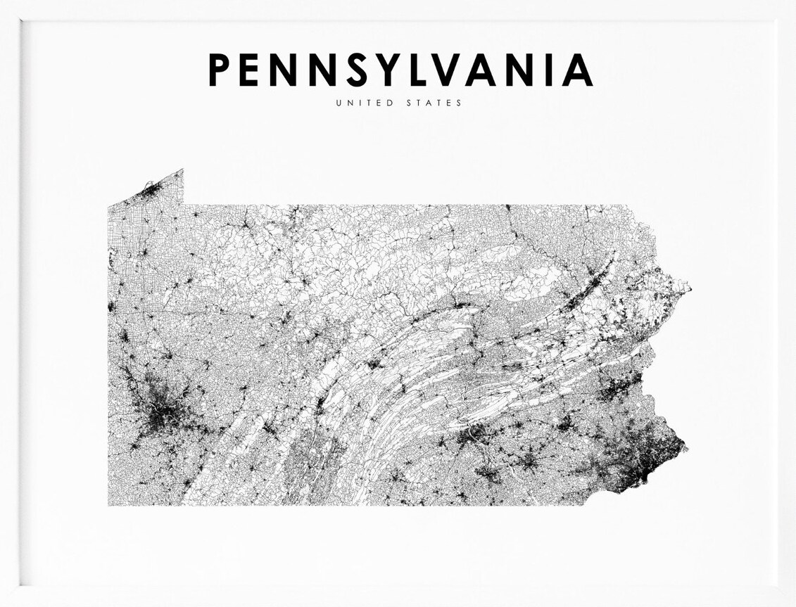
Pennsylvania, located in the northeastern region of the United States, is a state known for its rich history, charming small towns, and vibrant cities. With its picturesque countryside, bustling urban centers, and expansive forests, Pennsylvania offers a unique blend of nature and culture. To help visitors and residents navigate this beautiful state, we have created a detailed map of Pennsylvania with cities and highways.
This map highlights Pennsylvania’s major cities, including Philadelphia, Pittsburgh, Harrisburg, and Allentown, as well as its primary highways and roads. Whether you’re planning a road trip or simply want to explore Pennsylvania’s distinctive landscape and culture, this map is an essential tool. So, grab your map and get ready to discover all that Pennsylvania has to offer, from its historic landmarks to its charming small towns and everything in between.
Printable Pennsylvania Map With Cities and Highways
Cities
Sharon

Sharon is a charming city located in western Mercer County, Pennsylvania, United States. The city is situated along the banks of the Shenango River on the state border with Ohio and is approximately 15 miles (24 km) northeast of Youngstown, 65 miles (105 km) southeast of Cleveland and 60 miles (97 km) northwest of Pittsburgh.
According to the 2020 census, the population of Sharon was 13,147. Sharon is part of the Hermitage micropolitan area and is known for its beautiful parks, historic landmarks, and vibrant arts scene. Visitors to Sharon can explore the city’s rich cultural heritage, sample local cuisine, and enjoy a wide range of outdoor recreational activities.
Allentown
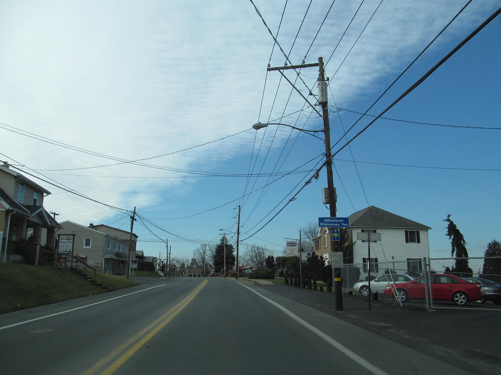
Allentown is a vibrant city located in Lehigh County, Pennsylvania, United States. The city, which is the county seat, has a population of 125,845 as of the 2020 census, making it the third-largest city in Pennsylvania. Allentown is also the largest city in the Lehigh Valley metropolitan area, which had a population of 861,899 and was the 68th-most populous metropolitan area in the United States as of 2020.
Founded in 1762 and located on the Lehigh River, a 109-mile-long (175 km) tributary of the Delaware River, Allentown is the largest of three adjacent cities, including Bethlehem and Easton in Lehigh and Northampton counties, in the Lehigh Valley region of eastern Pennsylvania.
Allentown is located 48 miles (77 km) north of Philadelphia and 78 miles (126 km) west of New York City. Visitors to Allentown can explore the city’s exciting heritage, enjoy its diverse culinary scene, and take part in a range of outdoor recreational pursuits.
Altoona

Altoona is a charming city located in Blair County, Pennsylvania, United States. The city has a population of 43,963 as of the 2020 census, making it the 18th-most populous city in Pennsylvania. Altoona is the principal city of the Altoona metropolitan area, which includes all of Blair County, and had a population of 122,822 at the 2020 census.
Established in 1849 by the Pennsylvania Railroad, Altoona grew around the railroad industry and has worked to recover from industrial decline and urban decentralization experienced in recent decades. Visitors to Altoona can enjoy a range of cultural and recreational activities, including watching the Altoona Curve baseball team of the Eastern League, which is the AA affiliate of the Pittsburgh Pirates Major League Baseball team.
The city is also home to the Altoona Symphony Orchestra, which has called Altoona home since 1928. Other prominent landmarks in Altoona include the Horseshoe Curve, the Railroaders Memorial Museum, the Juniata Shops of the Altoona Works, the Mishler Theatre, the Cathedral of the Blessed Sacrament, and the Jaffa Shrine Center.
York

York is a historic city located in York County, Pennsylvania, United States. The city, which is the county seat, has a population of 44,800 as of the 2020 census, making it the tenth-largest city in Pennsylvania. York has an urban area population of 238,549 people and a metropolitan population of 456,438 people.
Founded in 1741, York played a significant role in American history, serving as the temporary base for the Continental Congress from September 1777 to June 1778, during which the Articles of Confederation were drafted.
Today, York is the largest city in the York–Hanover metropolitan area, which is also included in the larger Harrisburg–York–Lebanon combined statistical area of the Susquehanna Valley. Visitors to York can explore the city’s rich cultural heritage, including its many historic landmarks and museums, and enjoy a range of outdoor activities.
Bethlehem
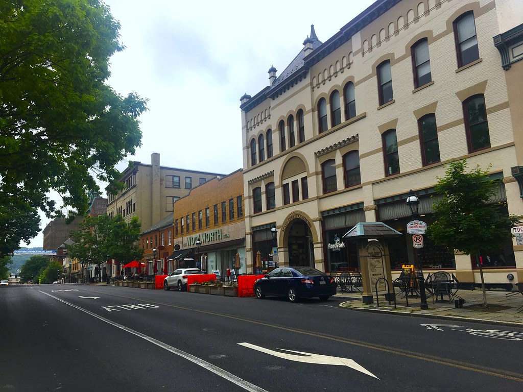
Bethlehem is a charming city located in Northampton and Lehigh Counties in the Lehigh Valley region of eastern Pennsylvania, United States. The city has a total population of 75,781 as of the 2020 census, making it Pennsylvania’s seventh-most populous city. Bethlehem is located along the Lehigh River, a 109-mile-long (175 km) tributary of the Delaware River, and lies in the geographic center of the Lehigh Valley, a metropolitan region of 731 sq mi (1,890 km2) with a population of 861,899 people as of the 2020 census.
Smaller than Allentown but larger than Easton, Bethlehem is the Lehigh Valley’s second-most populous city. Bethlehem has four sections: central Bethlehem, the south side, the east side, and the west side, each of which contains areas recognized under the National Register of Historic Places. Visitors to Bethlehem can explore the city’s rich cultural heritage, including its long historical relationship with the celebration of Christmas.
The city was christened Bethlehem on Christmas Eve 1741 by Nicolaus Zinzendorf, a Moravian bishop, and was the first U.S. city to feature a decorated Christmas tree in 1747. On December 7, 1937, Bethlehem adopted the nickname Christmas City USA in a grand ceremony during the Great Depression.
Bethlehem is also home to the Norfolk Southern Railway’s Lehigh Line, formerly the main line of the Lehigh Valley Railroad, which runs through Bethlehem heading east to Easton and across the Delaware River to Phillipsburg, New Jersey, and the Norfolk Southern Railway’s Reading Line, which runs through Bethlehem and west to Allentown and Reading.
Bloomsburg
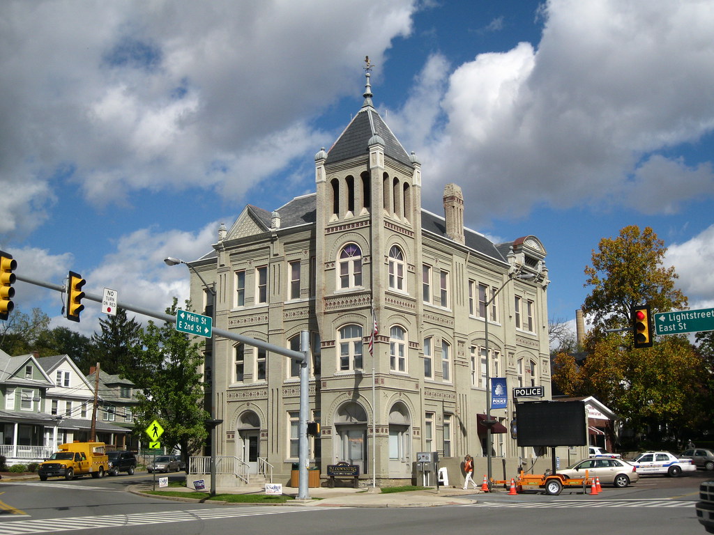
Bloomsburg is a charming town and the county seat of Columbia County, Pennsylvania, United States. It is part of Northeastern Pennsylvania and is located 40 miles (64 km) southwest of Wilkes-Barre along the Susquehanna River. Bloomsburg is the only Pennsylvania municipality incorporated as a town.
As of the 2010 census, Bloomsburg had a population of 14,855, with an estimated population of 13,811 in 2019. Bloomsburg is one of two principal communities of the Bloomsburg-Berwick, PA Metropolitan Statistical Area, a metropolitan area that covers Columbia and Montour counties, and had a combined population of 85,562 at the 2010 census.
Visitors to Bloomsburg can explore the town’s rich history and enjoy a range of outdoor recreational activities, including hiking, fishing, and boating along the Susquehanna River. The town is also home to Bloomsburg University of Pennsylvania, a public university that offers a range of undergraduate and graduate programs.
Bristol
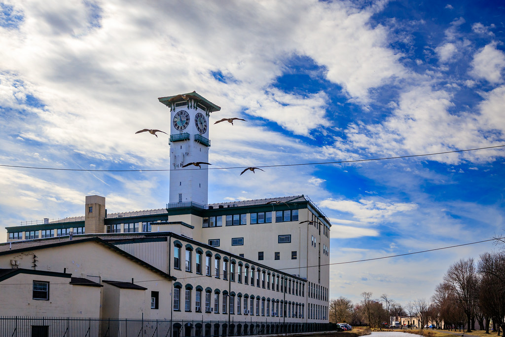
Bristol is a charming borough in Bucks County, Pennsylvania, United States. It is located 23 miles (37 km) northeast of Center City Philadelphia, opposite Burlington, New Jersey on the Delaware River. Bristol was settled in 1681 and first incorporated in 1720. After 1834, it became very important to the development of the American Industrial Revolution as the terminus city of the Delaware Canal, providing greater Philadelphia with the day’s high-quality anthracite coal from the Lehigh Canal via Easton.
The canal and a short trip on the Delaware River also gave the town access to the mineral resources available in Connecticut, New Jersey, and New York via the Morris Canal, the Delaware and Hudson Canal, and the Delaware and Raritan Canal, and connected the community to those markets and trade from New York City. Although its charter was revised in 1905, the original charter remains in effect, making it the third-oldest borough in Pennsylvania after Chester and Germantown.
Bristol had 7,104 residents in 1900; 9,256 in 1910; 10,273 in 1920; and 11,895 in 1940. The most recent 2010 census showed its population at 9,726. Visitors to Bristol can explore the town’s rich history and enjoy a range of outdoor recreational activities, including hiking, fishing, and boating along the Delaware River. Bristol is also served by SEPTA’s Trenton Line and is located 70.9 miles (114.1 km) southeast of Allentown and 22.4 miles (36.0 km) northeast of Philadelphia.
Carlisle

Carlisle is a charming borough in and the county seat of Cumberland County, Pennsylvania, United States. Carlisle is located within the Cumberland Valley, a highly productive agricultural region. As of the 2020 census, the borough population was 20,118; including suburbs in the neighboring townships, 37,695 live in the Carlisle urban cluster.
Carlisle is the smaller principal city of the Harrisburg–Carlisle metropolitan statistical area, which includes all of Cumberland, Dauphin, and Perry counties in South Central Pennsylvania. Visitors to Carlisle can explore the town’s rich heritage and enjoy a range of outdoor recreational activities, including hiking, fishing, and boating.
Carlisle is also home to a number of educational institutions, including the U.S. Army War College, located at Carlisle Barracks, which prepares high-level military personnel and civilians for strategic leadership responsibilities.
Carlisle Barracks is one of the oldest U.S. Army installations and the most senior military educational institution in the United States Army. The barracks is also home to the United States Army Heritage and Education Center, an archives and museum complex open to the public. Carlisle is also home to Penn State Dickinson School of Law and Dickinson College, two prestigious institutions of higher learning.
Chambersburg
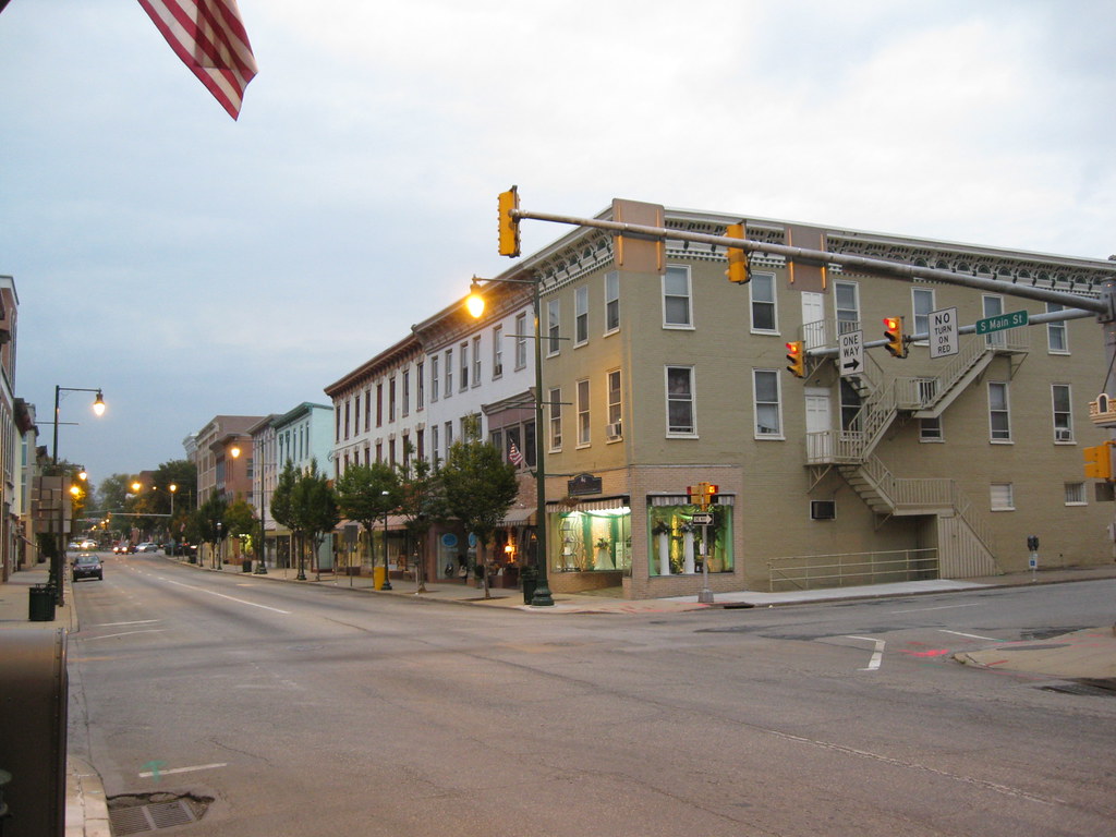
Chambersburg is a charming borough in and the county seat of Franklin County, in the South Central region of Pennsylvania, United States. It is in the Cumberland Valley, which is part of the Great Appalachian Valley, and 13 miles (21 km) north of Maryland and the Mason-Dixon line and 52 miles (84 km) southwest of Harrisburg, the state capital. According to the United States Census Bureau, Chambersburg’s 2020 population was 21,903.
When combined with the surrounding Greene, Hamilton, and Guilford Townships, the population of Greater Chambersburg is 52,273 people. The Chambersburg, PA Metropolitan Statistical Area includes surrounding Franklin County, and in 2010 included 149,618 people. Chambersburg’s settlement began in 1730 when water mills were built at Conococheague Creek and Falling Spring Creek. The town developed on both sides of these creeks. Its history includes episodes relating to the French and Indian War, the Whiskey Rebellion, John Brown’s raid on Harper’s Ferry, and the Civil War.
The borough was the only major northern community burned down by Confederate forces during the war. Residents charged the Confederates with war crimes. Visitors to Chambersburg can explore the town’s rich history and enjoy a range of outdoor recreational activities, including hiking, fishing, and boating. Downtown Chambersburg also hosts occasional events such as the Food Truck Festival and Apple Fest.
Chambersburg is served by the Lincoln Highway, U.S. 30, between McConnellsburg and Gettysburg, U.S. 11, the Molly Pitcher Highway, passes through it between Shippensburg, Pennsylvania, and Hagerstown, Maryland, and Interstate 81 skirts the borough to its east. The town lies approximately midpoint on US Route 30 between Pittsburgh and Philadelphia, and the local topography reflects both flatter areas like Philadelphia and mountainous areas like Pittsburgh.
Chester

Chester is a historic city in Delaware County, Pennsylvania, United States. It is located in the Delaware Valley on the western bank of the Delaware River between Philadelphia and Wilmington, Delaware. The population of Chester was 32,605 at the 2020 census. Incorporated in 1682, Chester is the oldest city in Pennsylvania and was the location of William Penn’s first arrival in the Province of Pennsylvania.
It was the county seat for Chester County from 1682 to 1788 and of Delaware County from 1789 to 1851. Chester evolved over the centuries from a small town with wooden shipbuilding and textile factories into an industrial city producing steel ships for two World Wars and a myriad of consumer goods.
Since the mid-twentieth century, it has lost its manufacturing base, and over half of its residents and devolved into a post-industrial city struggling with pollution, poverty, and crime. Despite its challenges, Chester remains a lively community with a rich history and a strong sense of pride. Visitors can explore the city’s historic landmarks and enjoy a range of cultural events and outdoor recreational activities, including hiking, fishing, and boating along the Delaware River.
Columbia

Columbia, formerly known as Wright’s Ferry, is a charming borough (town) in Lancaster County, Pennsylvania, United States. As of the 2020 census, it had a population of 10,222. It is located 28 miles (45 km) southeast of Harrisburg, on the east (left) bank of the Susquehanna River, across from Wrightsville and York County, and just south of U.S. Route 30.
The settlement was founded in 1726 by Colonial English Quakers from Chester County, led by entrepreneur and evangelist John Wright. The establishment of the eponymous Wright’s Ferry, the first commercial Susquehanna crossing in the region, inflamed territorial conflict with neighboring Maryland but brought growth and prosperity to the small town, which was just a few votes shy of becoming the new United States’ capital.
Though besieged for a short while by Civil War destruction, Columbia remained a lively center of transport and industry throughout the 19th century and was once the terminus of the Pennsylvania Canal. Later, however, the Great Depression and 20th-century changes in economy and technology sent the borough into economic decline.
Despite this, Columbia remains a vibrant community with a fascinating heritage and a strong sense of pride. Visitors can explore the town’s historic landmarks and enjoy a range of cultural events and outdoor recreational activities, including hiking, fishing, and boating along the Susquehanna River. It is notable today as the site of one of the world’s few museums devoted entirely to horology, the National Watch and Clock Museum.
Easton

Easton is a charming city in, and the county seat of, Northampton County, Pennsylvania, United States. The city’s population was 28,127 as of the 2020 census. Easton is located at the confluence of the Lehigh River, a 109-mile-long (175 km) river that joins the Delaware River in Easton and serves as the city’s eastern geographic boundary with Phillipsburg, New Jersey.
Easton is the easternmost city in the Lehigh Valley, a region of 731 square miles (1,890 km2) that is Pennsylvania’s third-largest and the nation’s 68th-largest metropolitan region with 861,889 residents as of the U.S. 2020 census. The greater Easton area includes the city of Easton, three townships (Forks, Palmer, and Williams), and three boroughs (Glendon, West Easton, and Wilson).
Visitors to Easton can explore the city’s wonderful history and enjoy a range of cultural events and outdoor recreational activities, including hiking, fishing, and boating along the Lehigh and Delaware Rivers. Centre Square, the city’s town square in its downtown neighborhood, is home to the Soldiers’ and Sailors’ Monument, a memorial for Easton area veterans killed during the American Civil War.
The Peace Candle, a candle-like structure, is assembled and disassembled every year atop the Civil War monument for the Christmas season. Norfolk Southern Railway’s Lehigh Line, formerly the main line of the Lehigh Valley Railroad, runs through Easton on its way to Bethlehem and Allentown heading west across the Delaware River to Phillipsburg, New Jersey. Easton is located 14 miles (23 km) northeast of Allentown, 51 miles (82 km) north of Philadelphia, and 64 miles (103 km) west of New York City.
Elizabethtown

Elizabethtown, also known as “E-Town,” is a delightful borough in Lancaster County, Pennsylvania, United States. It is located 18 miles (29 km) southeast of Harrisburg, the state capital. Small factories existed at the turn of the 20th century when the population in 1900 was 1,861.
As of the 2020 census, the population of the borough was 11,639. Elizabethtown is a close-knit community with a strong sense of pride and tradition. Visitors to Elizabethtown can explore the town’s historic landmarks and enjoy a range of cultural events and outdoor recreational activities, including hiking, biking, and fishing. The town is also home to Elizabethtown College and Elizabethtown Area High School, both of which are commonly referred to as “E-Town.”
Erie
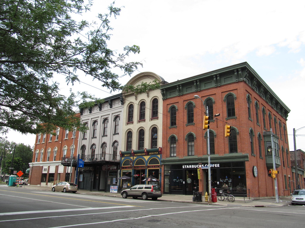
Erie is a vibrant city located on the south shore of Lake Erie and the county seat of Erie County, Pennsylvania, United States. Erie is the fifth-largest city in Pennsylvania and the largest city in Northwestern Pennsylvania with a population of 94,831 at the 2020 census. The estimated population in 2023 had decreased to 92,732. The Erie metropolitan area, equivalent to all of Erie County, consists of 266,096 residents. The Erie–Meadville combined statistical area had a population of 369,331 at the 2010 census.
Erie’s manufacturing sector remains prominent in the local economy, while insurance, healthcare, higher education, technology, service industries, and tourism are emerging as significant economic drivers. Visitors to Erie can enjoy the city’s beautiful natural harbor and a range of cultural events and outdoor recreational activities, including hiking, fishing, and boating along Lake Erie.
The city was named for the Native American Erie people who lived in the area until the mid-17th century. Erie is nicknamed both the “Gem City,” in reference to it once being known as the “Gem of the Great Lakes” due to its fine natural harbor; and more recently, the “Flagship City,” from a local marketing effort to promote its status as the home port of Oliver Hazard Perry’s flagship Niagara. Erie is located approximately 80 miles from Buffalo, 90 miles from Cleveland, and 120 miles from Pittsburgh.
Greensburg

Greensburg is a charming city in and the county seat of Westmoreland County, Pennsylvania, United States. The population was 14,976 at the 2020 census. The city lies within the Laurel Highlands and the ecoregion of the Western Allegheny Plateau and is a part of the Pittsburgh metropolitan area.
Greensburg is a major business, academic, tourism, and cultural center in Western Pennsylvania. Visitors to Greensburg can explore the city’s rich history and enjoy a range of cultural events and outdoor recreational activities, including hiking, biking, and fishing.
The city is named after Nathanael Greene, a major general of the Continental Army in the American Revolutionary War. Located 30 miles (48 km) southeast of Pittsburgh, Greensburg is easily accessible from the city and serves as an important hub for the surrounding region.
Hanover
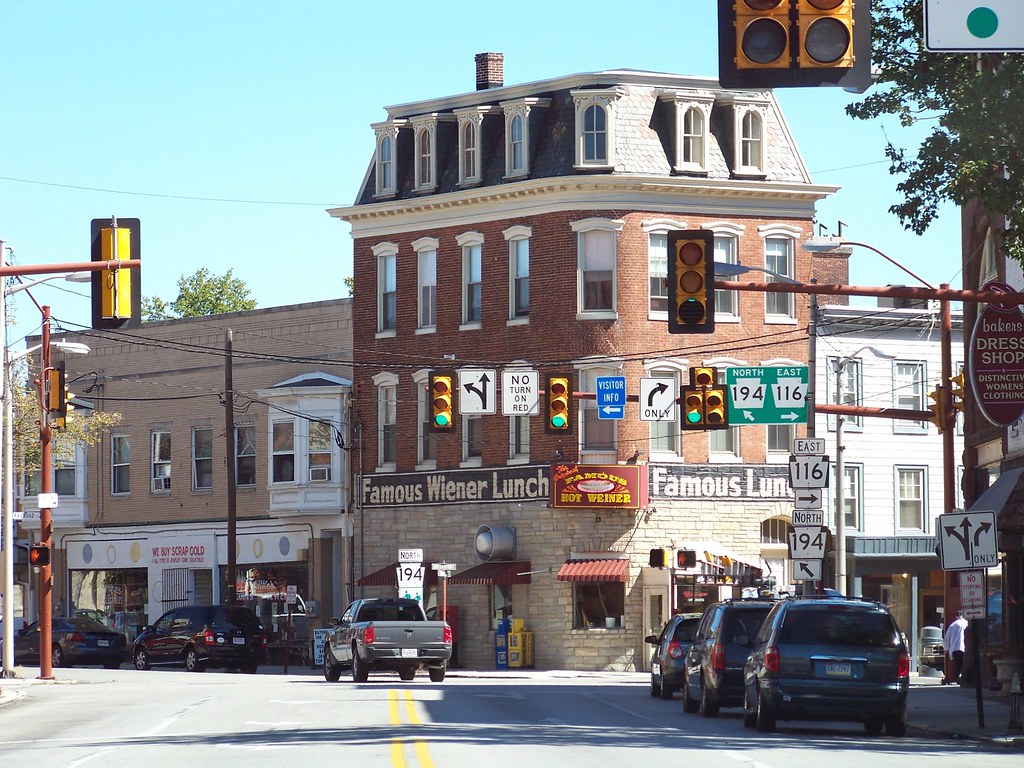
Hanover is a charming borough in York County, Pennsylvania, United States, situated 19 miles (31 km) southwest of York and 54 miles (87 km) north-northwest of Baltimore, Maryland. The town is located just 5 miles (8.0 km) north of the Mason-Dixon line and is situated in a productive agricultural region.
The population was 16,429 at the 2020 census. Hanover is named after the German city of Hannover. This borough is famous for being the site of the final encounter between the Union and Confederate States armies before they fought against each other in the Battle of Gettysburg during the American Civil War.
Today, Hanover is known as the “Snack Food Capital of the World” due to the establishment of multiple food manufacturing businesses there during the 20th century. Visitors to Hanover can explore the town’s rich heritage and enjoy an array of cultural events and outdoor recreational activities, including hiking, biking, and fishing. Hanover is served by the 717 area code and the ZIP Codes 17331–34.
Harrisburg

Harrisburg is the capital city of the Commonwealth of Pennsylvania, United States, and the seat of Dauphin County. With a population of 50,135 as of 2021, Harrisburg is the ninth-largest city and 15th-largest municipality in Pennsylvania.
Harrisburg is situated on the east bank of the Susquehanna River and is the larger principal city of the Harrisburg–Carlisle metropolitan statistical area, also known as the Susquehanna Valley, which had a population of 591,712 as of 2020, making it the fourth-most populous metropolitan area in Pennsylvania after the Philadelphia, Pittsburgh, and Lehigh Valley metropolitan areas. Harrisburg played a significant role in American history during the Westward Migration, the American Civil War, and the Industrial Revolution.
Visitors to Harrisburg can explore the city’s fascinating history and enjoy a range of cultural events and outdoor recreational activities, including hiking, biking, and fishing. The Pennsylvania Farm Show, the largest indoor agriculture exposition in the U.S., was first held in Harrisburg in 1917 and has been held there every early to mid-January since.
The city also hosts the annual Great American Outdoor Show, the largest of its kind in the world, among many other events. Despite the city’s past financial troubles, in 2010 The Daily Beast website ranked 20 metropolitan areas across the country as being recession-proof, and the Harrisburg region was ranked seventh.
The financial stability of the region is in part due to the high concentration of state and federal government agencies. Harrisburg is located 83 miles (134 km) southwest of Allentown, Pennsylvania’s third-largest city, and 107 miles (172 km) northwest of Philadelphia, Pennsylvania’s largest city.
Hazleton
Hazleton is a charming city in Luzerne County, Pennsylvania, United States. The population was 29,963 at the 2020 census, making it the second largest city in Luzerne County. Hazleton is located in Northeastern Pennsylvania, 48.4 miles (77.9 km) north of Allentown and 126.7 miles (203.9 km) west of New York City.
The city was incorporated as a borough on January 5, 1857, and as a city on December 4, 1891. Visitors to Hazleton can explore the city’s amazing history and enjoy a range of cultural events and outdoor recreational activities, including hiking, biking, and fishing.
Hazleton is a close-knit community with a strong sense of pride and tradition. The city is home to a diverse population and a range of businesses and industries that contribute to its flourishing economy. Hazleton is easily accessible from major cities in the region and serves as an important hub for the surrounding area.
Hermitage

Hermitage is a charming city located in western Mercer County, Pennsylvania, United States. The population was 16,230 at the 2020 census, making it the largest city in Mercer County. Hermitage is located about 15 miles (24 km) northeast of Youngstown and about 60 miles (97 km) northwest of Pittsburgh.
The city is the principal city of the Hermitage micropolitan area, which includes all of Mercer County. Visitors to the Hermitage can explore the city’s rich history and enjoy a range of cultural events and outdoor recreational activities, including hiking, biking, and fishing. Hermitage is a close-knit community with a marvelous sense of pride and tradition.
The city is home to a diverse population and a range of businesses and industries that contribute to its bustling economy. Hermitage is conveniently accessible from major cities in the region and serves as a key hub for the surrounding area.
Johnstown

Johnstown is the largest city in Cambria County, Pennsylvania, United States. The population was 18,411 as of the 2020 census. Located 57 miles (92 km) east of Pittsburgh, it is the principal city of the Johnstown metropolitan area, which had 133,472 residents in 2020 and is located in Cambria County.
Johnstown is also part of the Johnstown–Somerset combined statistical area, which includes both Cambria and Somerset Counties. Visitors to Johnstown can explore the city’s pleasing history and enjoy a variety of cultural events and outdoor recreational activities, including hiking, biking, and fishing.
Johnstown is a close-knit community with a great sense of pride and tradition. The city is home to a diverse population and a range of businesses and industries that contribute to its burgeoning economy. Johnstown is easily reachable from major cities in the region and serves as a vital hub for the locality.
Lancaster

Lancaster is a charming city in and the county seat of Lancaster County, Pennsylvania, and one of the oldest inland cities in the United States. With a population of 58,039 at the 2020 census, it ranks 11th in population among Pennsylvania’s municipalities. The Lancaster metropolitan area population is 552,984, making it the 104th-largest metropolitan area in the U.S. and second-largest in the South Central Pennsylvania area.
Lancaster is a hub of Pennsylvania’s Dutch Country and is known for its rich history and vibrant culture. Visitors to Lancaster can explore the city’s historic sites, and enjoy a range of cultural events and outdoor recreational activities, including hiking, biking, and fishing.
The city’s primary industries include healthcare, tourism, public administration, manufacturing, and both professional and semi-professional services. Lancaster is located 59 miles (95 km) southwest of Allentown and 61 miles (98 km) west of Philadelphia, making it easily accessible from major cities in the region.
Lebanon
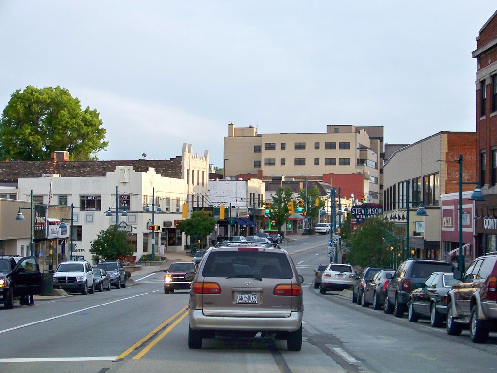
Lebanon is a charming city in and the county seat of Lebanon County, Pennsylvania, United States. The population was 26,814 at the 2020 census. Lebanon was founded by George Steitz in 1740 and was originally named Steitztown.
Visitors to Lebanon can explore the city’s rich history and enjoy a range of cultural events and outdoor recreational activities, including hiking, biking, and fishing. Lebanon is a close-knit community with a vigorous sense of pride and tradition.
The city is home to a diverse population and a range of businesses and industries that contribute to its robust economy. Lebanon is located 61 miles (98 km) southwest of Allentown, 26 miles (42 km) east of Harrisburg, and 88 miles (142 km) northwest of Philadelphia, making it easily accessible from major cities in the region.
New Castle

New Castle is a charming city in and the county seat of Lawrence County, Pennsylvania, United States. Located along the Shenango River at the mouth of Neshannock Creek, it is 43 miles (69 km) northwest of Pittsburgh near the Pennsylvania–Ohio border, approximately 17 miles (27 km) southeast of Youngstown, Ohio. As of the 2020 census, the city had a population of 21,926.
New Castle is the commercial center of a fertile agricultural region and is included in the northwestern part of the Pittsburgh metropolitan area. Visitors to New Castle can explore the city’s intriguing heritage and enjoy a range of cultural events and outdoor recreational activities, including hiking, biking, and fishing.
New Castle is a close-knit community with a wonderful sense of tradition. The city boasts a welcoming community and a range of businesses and industries that contribute to its powerful economy. New Castle is easily accessible from major cities in the region and serves as a principal hub for the locality.
New Kensington

New Kensington, known locally as New Ken, is a charming city located in Westmoreland County, Pennsylvania, United States. It is situated along the Allegheny River, 18 miles (29 km) northeast of Pittsburgh.
The population was 12,170 at the time of the 2020 census. Visitors to New Kensington can explore the city’s rich history and enjoy a range of cultural events and outdoor recreational activities, including hiking, biking, and fishing. New Kensington is a close-knit community with a marvelous sense of pride and tradition.
The city is home to a warm community and a range of businesses and industries that contribute to its economy. New Kensington is easily accessible from major cities in the region and serves as a chief hub for the surrounding area.
Norristown
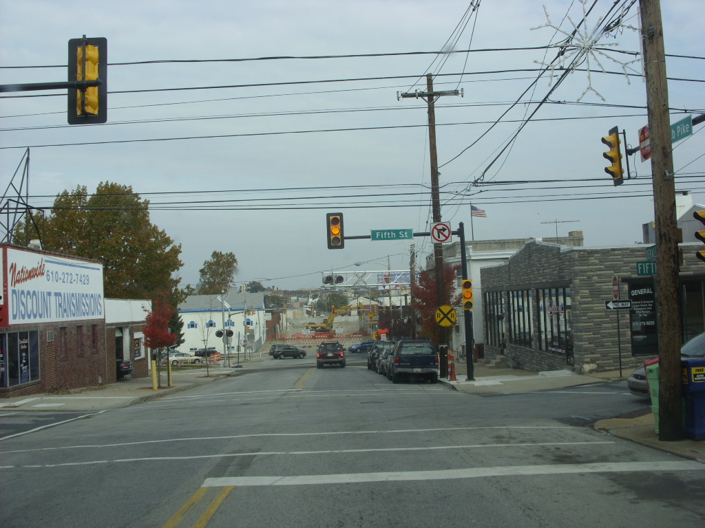
Norristown is a municipality with home rule status and the county seat of Montgomery County, Pennsylvania, United States, in the Philadelphia metropolitan area. Located along the Schuylkill River, approximately 6 miles (9.7 km) from Philadelphia, Norristown had a population of 35,748 as of the 2020 census.
It is the fourth-most populous municipality in the county and the second-most populous borough in Pennsylvania. Norristown is the largest non-township municipality in Montgomery County and is located 49.8 miles (80.1 km) southeast of Allentown and 19.9 miles (32.0 km) northwest of Philadelphia, the sixth-largest city in the United States.
Visitors to Norristown can explore the city’s rich history and enjoy a range of cultural events and outdoor recreational activities, including hiking, biking, and fishing. Norristown is a close-knit community with a strong sense of pride and tradition.
The city is home to an exciting population and a group of businesses and industries that contribute to its economy. Norristown is easily accessible from major cities in the region and serves as a hub for the surrounding area.
Philadelphia

Philadelphia, commonly referred to as Philly, is the most populous city in the U.S. Commonwealth of Pennsylvania and the second-most populous city in both the Northeast megalopolis and Mid-Atlantic regions after New York City. It is one of the most historically significant cities in the United States and served as the nation’s capital until 1800.
Philadelphia is the nation’s sixth-most populous city with a population of 1,603,797 as of the 2020 census. Since 1854, the city has been coextensive with Philadelphia County, the most populous county in Pennsylvania. Philadelphia serves as the urban core of the larger Delaware Valley, the nation’s seventh-largest and one of the world’s largest metropolitan regions consisting of 6.245 million residents in the metropolitan statistical area and 7.366 million residents in its combined statistical area.
Visitors to Philadelphia can explore the city’s rich history and enjoy a range of cultural events and outdoor recreational activities, including hiking, biking, and fishing. Philadelphia is a welcoming community with a great sense of pride. The city is home to a diverse population and a range of businesses and industries. Philadelphia is conveniently reachable from major cities in the region.
Pittsburgh
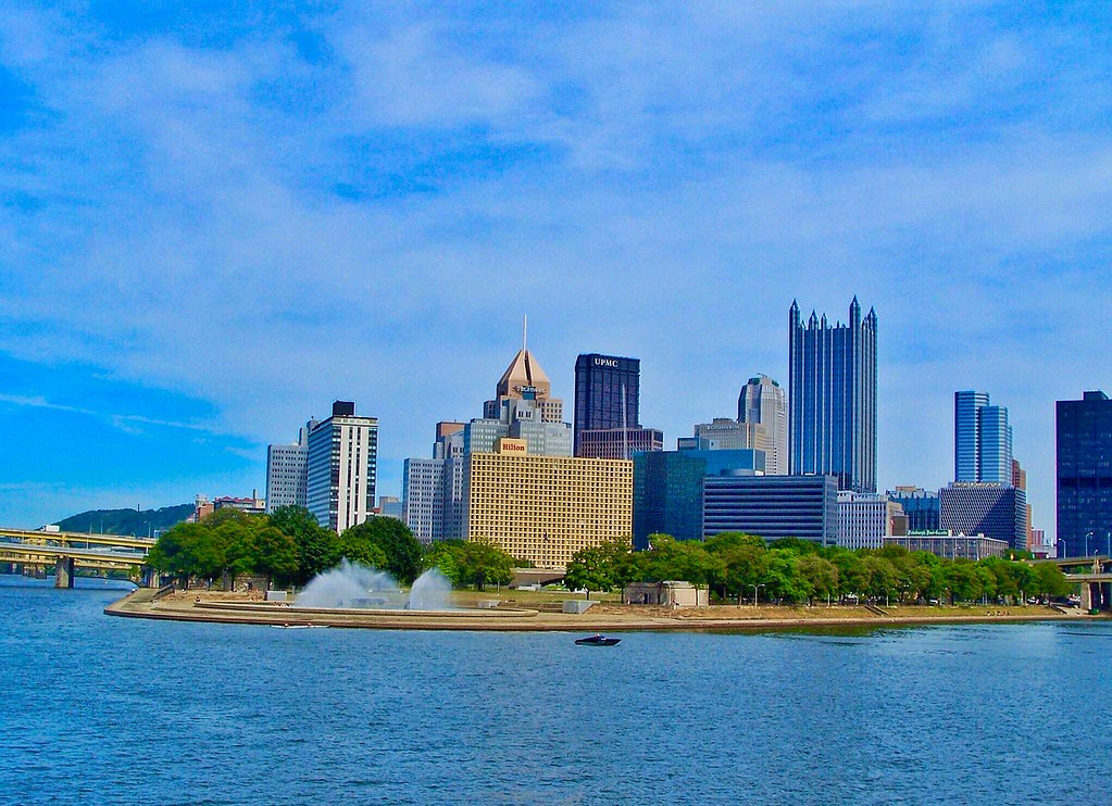
Pittsburgh is a city in the Commonwealth of Pennsylvania and the county seat of Allegheny County. It is the most populous city in both Allegheny County and Western Pennsylvania, the second-most populous city in Pennsylvania after Philadelphia, and the 68th-most populous city in the U.S. with a population of 302,971 as of the 2020 census.
Pittsburgh is located in southwest Pennsylvania at the confluence of the Allegheny River and the Monongahela River, which combine to form the Ohio River. The city is known both as “the Steel City” for its dominant role in the history of the U.S. steel industry and as the “City of Bridges” for its 446 bridges.
Pittsburgh has a rich industrial background and is home to renowned museums, medical centers, parks, research centers, and a diverse cultural district. In recent years, Pittsburgh has transformed into a hub for the healthcare, education, and technology industries.
The city is home to large medical providers, including the University of Pittsburgh Medical Center, Allegheny Health Network, and 68 colleges and universities, including research and development leaders Carnegie Mellon University and the University of Pittsburgh. Pittsburgh is also home to over 1,600 technology firms, generating $20.7 billion in annual payrolls.
The city is listed among the “eleven most livable cities in the world” by Metropolis magazine and has been ranked as the most or second-most livable city in the United States by The Economist’s Global Liveability Ranking.
Pottsville
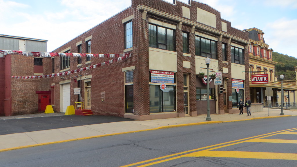
Pottsville is the county seat of Schuylkill County, Pennsylvania, United States. The city has a population of 13,346 as of the 2020 census and is the principal city of the Pottsville, PA Micropolitan Statistical Area. Pottsville lies along the west bank of the Schuylkill River, 52 miles south of Wilkes-Barre.
The city is located in Pennsylvania’s Coal Region and is known for its history in the coal mining industry. Pottsville is located 47.4 miles west of Allentown, 96.6 miles northwest of Philadelphia, and 135 miles west of New York City.
Visitors to Pottsville can explore the city’s rich history, including its ties to the coal mining industry, and enjoy a range of outdoor pursuits, including hiking, fishing, and camping. The city is easily accessible from major cities in the region and serves as an important local hub.
Reading
Reading is a city in and the county seat of Berks County, Pennsylvania, United States. The city had a population of 95,112 as of the 2020 census and is the fourth-largest city in Pennsylvania after Philadelphia, Pittsburgh, and Allentown. Reading is located in the southeastern part of the state and is the principal city of the Greater Reading Area, which had 420,152 residents in 2020.
Reading gives its name to the now-defunct Reading Company, widely known as the Reading Railroad, that played a vital role in transporting anthracite coal from Pennsylvania’s Coal Region to major East Coast metropolitan markets through the Port of Philadelphia for much of the 19th and 20th centuries. Reading is also known as “The Pretzel City” because numerous local pretzel bakeries are based in the city and its suburbs.
In recent years, the Reading area has become a destination for cyclists with more than 125 miles of trails in five major preserves. However, according to 2018 American Community Survey data, 35.4% of the city’s residents were below the poverty line. Reading is located 38.8 miles southwest of Allentown and 62.9 miles northwest of Philadelphia.
Scranton
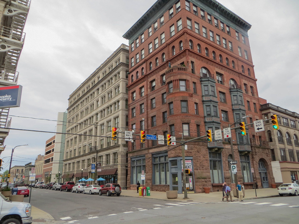
Scranton is a city in and the county seat of Lackawanna County, Pennsylvania, United States. With a population of 76,328 as of the 2020 U.S. census, Scranton is the largest city in Northeastern Pennsylvania and the Scranton/Wilkes-Barre metropolitan area, which has a population of 562,037 as of 2020.
It is the sixth-largest city in Pennsylvania. Scranton was incorporated as a borough in Luzerne County in 1856 and became a major industrial city and a center of mining and railroads, attracting thousands of new immigrants. The city’s nickname “Electric City” began when electric lights were introduced in 1880 at the Dickson Manufacturing Company, and six years later, the United States’ first streetcars powered only by electricity began operating in the city.
Despite the decline in demand for coal and textiles after World War II, Scranton’s economy diversified beyond coal and now has large healthcare, academic, and manufacturing sectors. Scranton is located 77 miles north of Allentown, 120 miles north of Philadelphia, and 120 miles northwest of New York City.
Interstates
Interstate 79
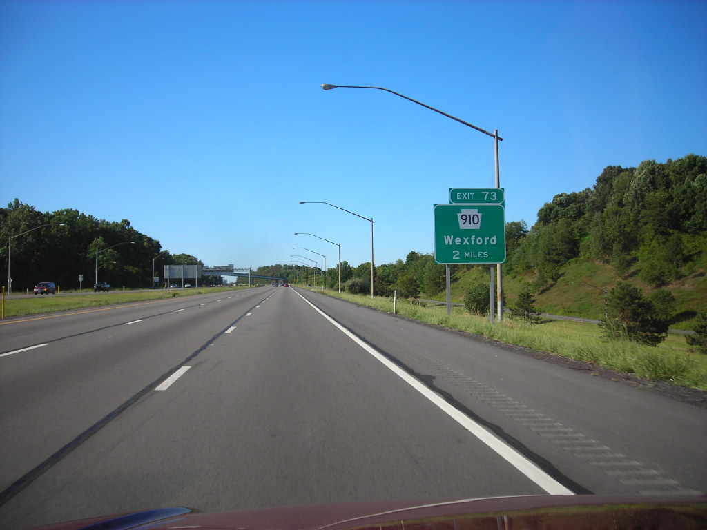
Interstate 79 (I-79) enters Pennsylvania from Morgantown, West Virginia, and traverses mostly rural Greene County south of Washington. Between mile markers 34 and 38, I-79 overlaps I-70 in the Washington area before heading north toward Pittsburgh. The freeway into Pittsburgh requires drivers to use I-376 while I-79 completely bypasses the city.
Beyond the Pittsburgh area, I-79 traverses more rural areas in Butler, Lawrence, Mercer, Crawford, and Erie counties before arriving at its termination point in Erie. In Erie, I-90 connects from I-79 to Buffalo, New York, and the Canadian border.
I-79 was completely rebuilt in Greater Pittsburgh in the early 1990s, and around mile marker 100 on the northbound side are two ghost ramps that were specifically built for the Boy Scouts of America in order to have access to Moraine State Park without having to travel on US 422 for the 1973 and 1977 National Scout Jamborees, which were held at Moraine.
Interstate 81
Interstate 81 (I-81) is a north–south Interstate Highway that stretches from Dandridge, Tennessee, northeast to Fisher’s Landing, New York, at the Canada–United States border. In Pennsylvania, I-81 runs for 232.76 miles from the Maryland state line northeast to the New York state line near Hallstead and is called the American Legion Memorial Highway.
It enters the state near the borough of Greencastle and serves the boroughs of Chambersburg and Carlisle before reaching Harrisburg, the capital. After that, it climbs into the Pocono Mountains to run through the Wyoming Valley before exiting into New York. I-81 is the longest north–south Interstate in Pennsylvania and provides a vital transportation channel for commerce and travel throughout the state and the region.
Interstate 76

Interstate 76 (I-76) is an east–west Interstate Highway in the Eastern United States that runs approximately 435 miles from an interchange with I-71 west of Akron, Ohio, east to I-295 in Bellmawr, New Jersey. In Pennsylvania, I-76 runs across most of the state on the Pennsylvania Turnpike, passing near Pittsburgh and Harrisburg before leaving the Turnpike at Valley Forge.
At Valley Forge, I-76 becomes the Schuylkill Expressway and eventually enters Philadelphia and then crosses the Walt Whitman Bridge into New Jersey. Just west of Youngstown, I-76 joins the Ohio Turnpike and heads around the south side of Youngstown. I-76 provides a chief transportation link for commerce and travel throughout the Northeastern United States.
Interstate 78

Interstate 78 (I-78) is an east–west Interstate Highway that stretches from Union Township, Lebanon County, Pennsylvania, in the west to the Holland Tunnel and New York City in the east. In Pennsylvania, I-78 runs for about 78 miles from the western terminus at I-81 in Union Township east to the New Jersey state line near Easton in Northampton County.
Much of I-78 west of Allentown predates the Interstate Highway System as a freeway upgrade of U.S. Route 22 (US 22), which runs concurrently with I-78 between Bethel Township and Upper Macungie Township. The Interstate was originally planned as Interstate 80N (I-80N) and was supposed to continue its concurrency with US 22 to the New Jersey state line, but was realigned to the south due to local opposition.
Two auxiliary routes, Interstate 178 (I-178) and I-378, were also planned as spurs into Allentown and Bethlehem respectively, but I-178 was never built and I-378 became Pennsylvania Route 378 (PA 378) since it no longer connected to I-78. Improvement of the highway in Berks County is currently underway.
Interstate 83

Interstate 83 (I-83) is named the Veterans of Foreign Wars of the United States Memorial Highway. The highway enters Pennsylvania, crossing the Mason–Dixon line and passing to the east of Shrewsbury as it runs due north toward York. The route bypasses the boroughs of Loganville and Jacobus before entering the city of York.
I-83 has a business route through downtown York, known as I-83 Business (I-83 Bus), while the main route turns northeast and then north again to bypass the urban area. North of PA 297, I-83 is known as the Susquehanna Expressway and it maintains this name as it passes to the south and west of Valley Green, continuing north toward Harrisburg.
After an interchange with the eastern terminus of PA 581 in Lemoyne, I-83 is known as the Capital Beltway and crosses the Susquehanna River over the John Harris Bridge, south of Downtown Harrisburg, passing south of Paxtang before encountering I-283 and US 322 at the Eisenhower Interchange. The highway terminates at a three-way semi-directional interchange with I-81 northeast of the CBD in Colonial Park.
Interstate 70
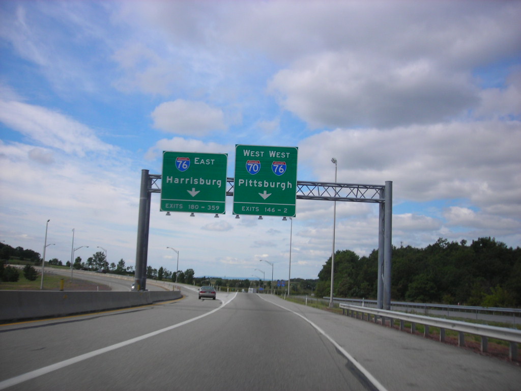
Interstate 70 (I-70) is a state highway that runs east to west across the southwest part of Pennsylvania and serves the southern fringe of the Pittsburgh metropolitan area. About half of this route is concurrent with I-76 on the Pennsylvania Turnpike, which is a toll road. This is the oldest segment of I-70 in Pennsylvania, having been completed in 1940, and is only one of two segments of I-70 that are tolled, with the other being the Kansas Turnpike.
I-70 is one of only a few Interstate Highways to have a traffic signal—in this case, with U.S. Route 30 (US 30) in Breezewood, where it leaves the Pennsylvania Turnpike and heads toward Maryland. Despite its relatively short length in the state, I-70 provides a marvelous transportation channel for commerce and travel in southwestern Pennsylvania.
Interstate 90
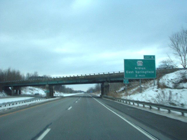
Interstate 90 (I-90) spans 46.297 miles within Erie County, Pennsylvania, from the Ohio border near West Springfield to the New York border near North East. I-90 is the primary west–east highway in the Erie area, passing south of downtown and has interchanges with I-79, which connects Downtown Erie to southern Pennsylvania and beyond, and I-86, linking Erie to the Southern Tier of New York.
U.S. Route 20 (US 20), which has an interchange with I-90 near the New York–Pennsylvania border, parallels I-90 across the county. Throughout its length, I-90 has also been designated as the AMVETS Memorial Highway, with signs posted at each state line. I-90 provides a key transportation route for commerce and travel in northwestern Pennsylvania, connecting the region to neighboring states and beyond.
Highways
Route 6
U.S. Route 6 (US 6) is the longest numbered highway in Pennsylvania, traveling east–west near the north edge of the state from the Ohio state line near Pymatuning Reservoir east to the Mid-Delaware Bridge over the Delaware River into Port Jervis, New York. What is now I-80 was once planned along the US 6 corridor as a western extension of I-84.
The corridor was originally the Roosevelt Highway from Erie, Pennsylvania, to Port Jervis, New York, designated Pennsylvania Route 7 (PA 7) in 1924. The PA 7 designation soon disappeared, but, as US 6 was extended and relocated, the Roosevelt Highway followed it.
The Pennsylvania section of US 6 was renamed the Grand Army of the Republic Highway in 1946; this name was applied to its full transcontinental length by 1953. US 6 fully encompasses two Pennsylvania Scenic Byways: the Gateway to the Endless Mountains Scenic Byway along the bypass of Tunkhannock and the Governor Casey Scenic Byway along the freeway portion in Lackawanna County between I-81 in Dunmore and PA 247 in Jessup.
Route 11

U.S. Route 11 (US 11) runs roughly parallel to Interstate 81 (I-81) in the state of Pennsylvania, from the Maryland state line in Antrim Township, Franklin County, northeast to the New York state line in Great Bend Township, Susquehanna County. The route serves Harrisburg, Wilkes-Barre, and Scranton.
Between Harrisburg and Scranton, US 11 follows the Susquehanna River, while I-81 follows a shorter route over the mountains further to the east. US 11 is a major transportation route in northeastern Pennsylvania, connecting numerous communities and providing access to important economic and cultural centers in the region.
Route 15
U.S. Route 15 (US 15) is a major highway that runs from Walterboro, South Carolina, north to Painted Post, New York. In Pennsylvania, the highway spans 194.89 miles (313.65 km), from the Maryland state line just south of Gettysburg, north to the New York state line near Lawrenceville. US 15 serves several communities in Pennsylvania, including Gettysburg, Williamsport, and Mansfield.
The route provides an important transportation link between the southern and northern regions of the state, connecting with major highways such as I-76, I-180, and I-86. US 15 is also designated as part of the Susquehanna Trail, a historic route that dates back to the early 20th century and was once a popular tourist route for motorists traveling through Pennsylvania.
Route 19
U.S. Route 19 (US 19) closely parallels Interstate 79 (I-79) for its entire length in Pennsylvania. The highway enters the state from West Virginia in Greene County near Mount Morris and travels northward to its northern terminus at US 20 in the city of Erie. Along the way, US 19 serves several communities, including Pittsburgh, Cranberry Township, and Meadville.
Part of the highway is named for Commodore Oliver Hazard Perry, a hero of the Battle of Lake Erie. US 19 provides an important transportation link between southwestern Pennsylvania and the Erie region, connecting with major highways such as I-70, I-76, and I-80. The highway also offers access to a variety of tourist destinations and recreational areas, including Moraine State Park and Presque Isle State Park.
Route 22
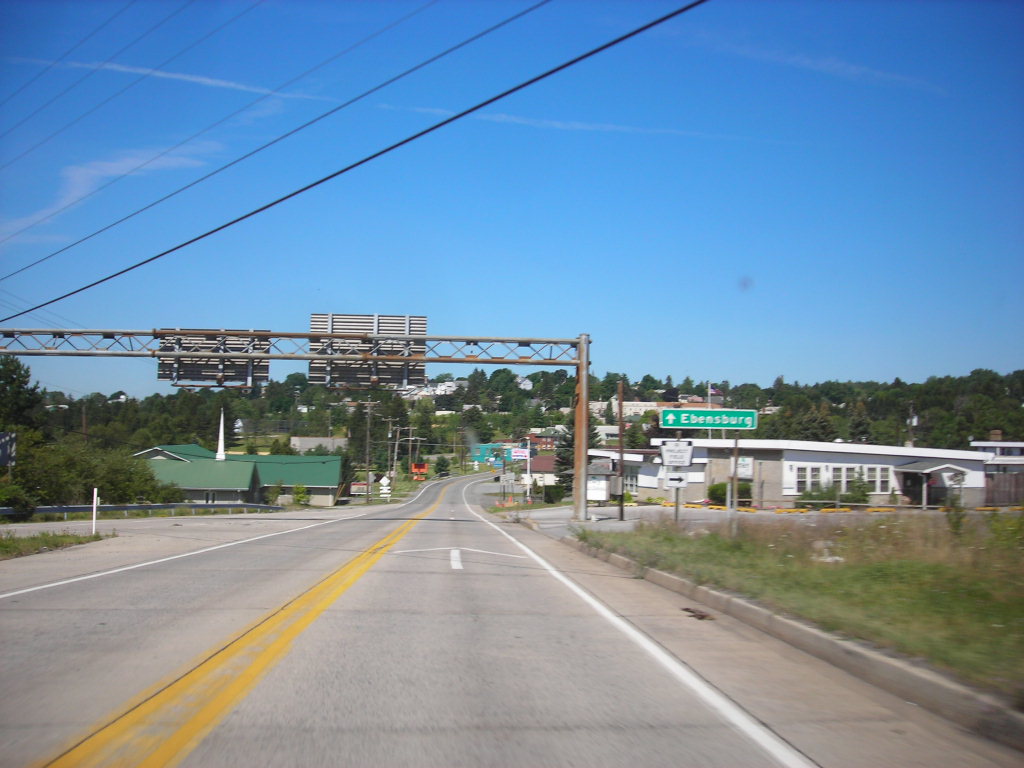
U.S. Route 22 (US 22) is an east–west United States Numbered Highway that stretches from Cincinnati, Ohio, in the west, to Newark, New Jersey, in the east. In Pennsylvania, the route spans 338.20 miles (544.28 km) between the West Virginia state line in Washington County, where it is a freeway through the western suburbs of Pittsburgh, east to the Pennsylvania–New Jersey state line in the Lehigh Valley at Easton in the east.
Much of US 22 in Pennsylvania follows the route of the historic William Penn Highway. The portion from the Pennsylvania Route 66 (PA 66) interchange near Delmont east to the Interstate 81 (I-81) interchange near Harrisburg is the main part of Corridor M of the Appalachian Development Highway System, although a large portion near the center of the route has not yet been upgraded to a four-lane divided highway.
Between Fredericksburg and just west of Allentown, US 22 runs concurrently with I-78. From Allentown to the New Jersey state line, the route is a freeway named the Lehigh Valley Thruway. US 22 provides an essential transportation link across Pennsylvania, connecting major cities such as Pittsburgh, Harrisburg, and Allentown.
Route 30

U.S. Route 30 (US 30) is a major east–west highway that runs across the southern part of Pennsylvania, passing through Pittsburgh and Philadelphia on its way from the West Virginia state line east to the Benjamin Franklin Bridge over the Delaware River into New Jersey. In Pennsylvania, US 30 follows or closely parallels the historic Lincoln Highway, an early transcontinental auto trail that ran from San Francisco, California, to New York City.
Along the way, US 30 passes through several notable landmarks and attractions, including the Gettysburg Battlefield, Dutch Wonderland, the Flight 93 National Memorial, Fort Ligonier, Westmoreland Mall, Jennerstown Speedway, Idlewild and Soak Zone, and Independence Mall at the Independence National Historical Park. US 30 provides a principal transportation link across Pennsylvania, connecting major cities and regions in the southern part of the state.
Route 40

U.S. Route 40 (US 40) enters Pennsylvania at West Alexander and closely parallels Interstate 70 (I-70) from West Virginia until it reaches Washington. In Washington, US 40 passes to the south of Washington & Jefferson College and follows Maiden Street out of town, turning southeast toward the town of California.
A short limited access highway in California and West Brownsville provides an approach to the Lane Bane Bridge across the Monongahela River. From here, the road continues southeast to Uniontown, bypassing the city along a limited-access highway that also carries US 119. An old alignment through Uniontown is signed as US 40 Business.
Southeast of Uniontown, travelers pass the Fort Necessity National Battlefield and follow Braddock Road, crossing the Youghiogheny River Lake on a bridge completed in 2006. US 40 leaves Pennsylvania at Addison. US 40 provides an important transportation link in southwestern Pennsylvania, connecting several communities and providing access to notable landmarks such as the Fort Necessity National Battlefield.
Route 62
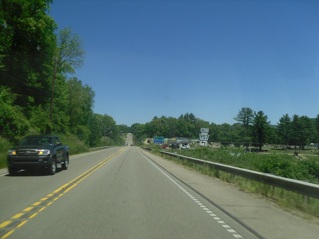
U.S. Route 62 (US 62) is a signed north-south U.S. Highway that travels diagonally southwest-northeast through the industrial northwestern part of Pennsylvania. Although initial portions of the route opened in 1926 in other areas of the country, US 62 was not designated in the state until 1932.
The highway connects several small cities, including Sharon, Franklin, Oil City, and Warren, to larger markets such as Youngstown, Ohio, and Buffalo, New York. US 62 provides an important transportation link in northwestern Pennsylvania, connecting communities and providing access to economic centers in the region. The highway also offers scenic views of the Allegheny National Forest and other natural attractions.
Route 119

U.S. Route 119 (US 119) travels through several cities and towns in Pennsylvania, including Connellsville, Greensburg, and Punxsutawney, while bypassing Uniontown and Indiana. The 133-mile (214 km) route connects numerous other boroughs and villages along the way.
The southern entrance of US 119 is at the West Virginia state line, one-half-mile south of Point Marion, while the northern terminus is at US 219, two miles (3 km) south of DuBois, Pennsylvania. US 119 is an important transportation link in southwestern Pennsylvania, connecting communities and providing access to major highways such as US 22 and US 219.
The highway is part of the National Highway System from the West Virginia state line to Exit 0 of PA Turnpike 66, and from US 22 to US 219. US 119 also features several concurrencies with other routes, including PA 43, US 40, PA 819, US 22, PA 56, and PA 36.
Route 209

U.S. Route 209 (US 209) in Pennsylvania has a long history dating back to the formation of the U.S. Highway System in 1926. Before then, the alignment of US 209 in Pennsylvania carried several designations, including the Gap Way and several Legislative Route numbers.
The Pennsylvania portion of US 209 originally began at US 11 east of Duncannon and ended at US 6 in Milford, with an overlap with US 6 from Milford to the state line. Over the years, the routing of US 209 was altered in several areas, including in the vicinity of Stroudsburg where it was rerouted to a newly built freeway. Today, US 209 runs northeast from Duncannon to Kingston, New York, passing through several towns and cities such as Pottsville, Lehighton, and Stroudsburg.
Route 219

U.S. Route 219 (US 219) is a part of the U.S. Highway System that runs from Rich Creek, Virginia, to West Seneca, New York. In Pennsylvania, US 219 is an important transportation link that passes through several towns and cities, including Brockway, Ridgway, Johnsonburg, and Bradford.
From near Grantsville, Maryland north to Ebensburg, Pennsylvania, US 219 is Corridor N of the Appalachian Development Highway System. The highway is a limited-access highway from Meyersdale to just south of Carrolltown, before transitioning to a two-lane road. US 219 runs directly through the towns of Brockway, Ridgway, and Johnsonburg before reaching Wilcox, where PA Route 321 splits and heads for the town of Kane.
On August 9, 2007, Pennsylvania State Transportation Secretary Allen D. Biehler unveiled four signs along US Route 219 that dedicated the portion of the route in Somerset County, Pennsylvania as the Flight 93 Memorial Highway. US 219 provides a vital transportation link in western Pennsylvania, connecting several communities and providing access to major highways such as Interstate 80.
Route 220
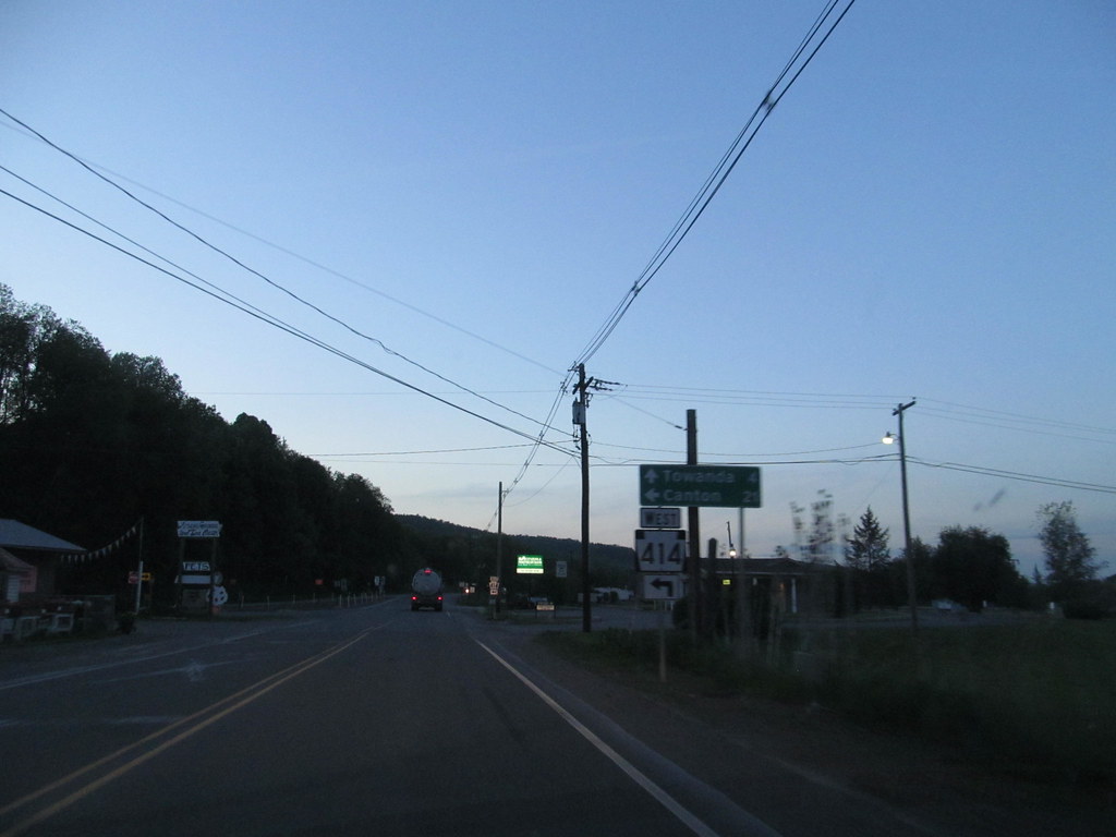
U.S. Route 220 (US 220) is a U.S. Highway that runs from Rockingham, North Carolina, north to South Waverly, Pennsylvania. In Pennsylvania, the route covers a distance of 248 miles (399 km) from the Maryland border in Cumberland Valley Township, Bedford County to an interchange with Interstate 86 (I-86)/New York State Route 17 (NY 17) in South Waverly, Bradford County, just south of the New York border.
US 220 passes through several cities and towns in the state, including Bedford, Altoona, State College, Lock Haven, Williamsport, and Towanda. The highway is mostly a two-lane surface road, except for several sections that are freeways, such as the entire completed Pennsylvania segment of I-99 between I-70/I-76 (Pennsylvania Turnpike) in Bedford and I-80 near Bellefonte.
US 220 is also a freeway around Bedford, along the I-80 concurrency between Bellefonte and Mill Hall, between Mill Hall and Jersey Shore, from the western end of Williamsport to near Halls (where it is concurrent with I-180 east of downtown Williamsport), and near the New York border. US 220 provides a key transportation link in central and northeastern Pennsylvania, connecting several communities and providing access to major highways such as I-80 and I-99.
Route 322

U.S. Route 322 (US 322) is a spur of US 22 that runs from Cleveland, Ohio, east to Atlantic City, New Jersey. In Pennsylvania, the route covers a distance of approximately 200 miles, running from the Ohio state line in West Shenango Township southeast to the Commodore Barry Bridge over the Delaware River in Chester, where it crosses into New Jersey.
US 322 passes through several cities and towns in the state, including Meadville, DuBois, State College, and Harrisburg. The highway is an important transportation link in central Pennsylvania, connecting several communities and providing access to major highways such as I-80 and I-99.
US 322 in Pennsylvania is named the 28th Division Highway in honor of the 28th Infantry Division. The highway also passes through several scenic areas, including the Seven Mountains region near State College and the Cumberland Valley near Harrisburg.
Route 422

U.S. Route 422 (US 422) is a major east-west highway in Pennsylvania that runs for approximately 200 miles from the Ohio border to King of Prussia, a suburb of Philadelphia. In the Reading area, US 422 has a business route, known as US 422 Business (US 422 Bus.), which is a 7.29-mile-long (11.73 km) route that runs from Wyomissing to Reiffton. US 422 Bus. follows Penn Avenue through Wyomissing and West Reading, crossing the Schuylkill River into Reading.
The business route then passes through downtown Reading on the one-way pair of Franklin Street eastbound and Washington Street westbound, intersecting the southern terminus of Pennsylvania Route 183 (PA 183) and crossing US 222 Bus. US 422 Bus. continues along Perkiomen Avenue to St. Lawrence, where it intersects the western terminus of PA 562 and turns southeast.
The route passes through Reiffton before it merges into eastbound US 422. US 422 was designated in the 1920s and has undergone several realignments over the years, including a shift to the Warren Street Bypass and West Shore Bypass in the 1970s.
Route 522
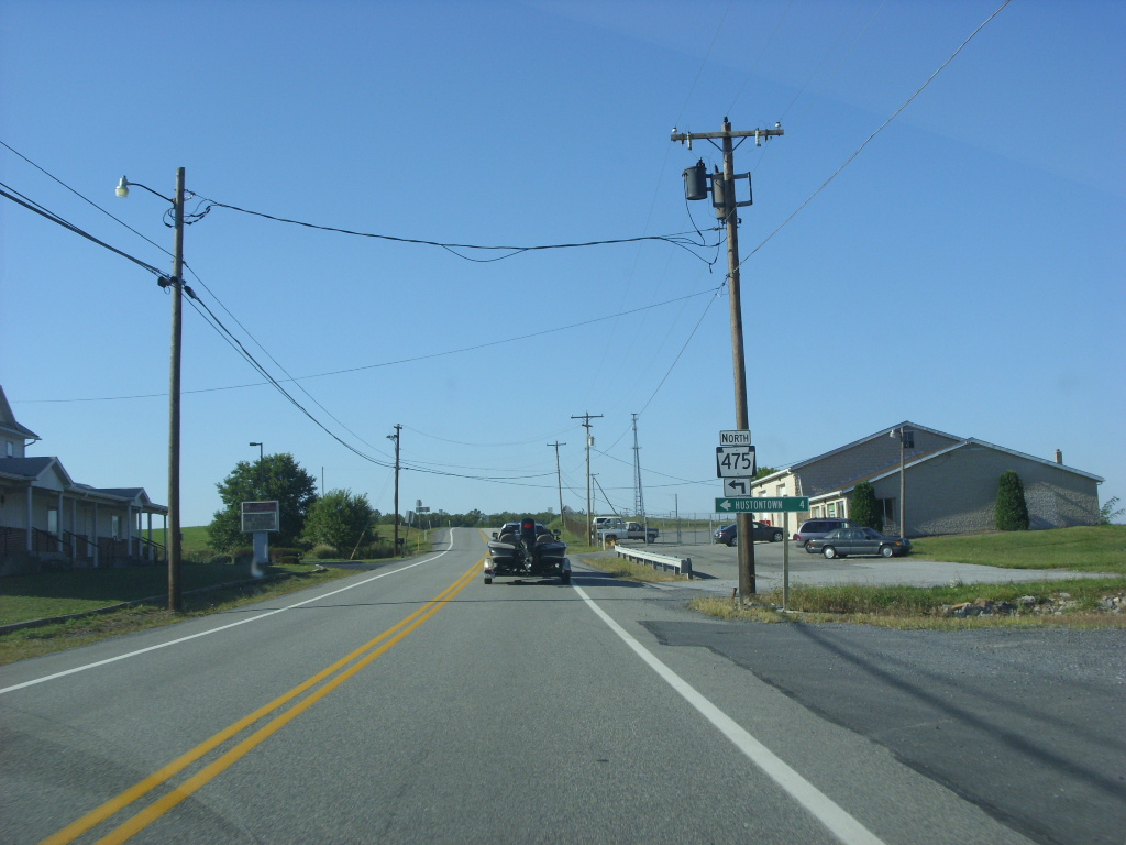
U.S. Route 522 (US 522) is a north-south spur route of US 22 that runs for 308.59 miles (496.63 km) from US 60 near Powhatan, Virginia, to its northern terminus at US 11 and US 15 near Selinsgrove, Pennsylvania. The highway serves many small cities and towns in the Piedmont, Blue Ridge Mountains, and northern Shenandoah Valley of Virginia, including Goochland, Mineral, Culpeper, the town of Washington, and Front Royal, as well as the independent city of Winchester.
US 522 then follows the Ridge-and-Valley Appalachians north and then east through the Eastern Panhandle of West Virginia, a 2-mile-wide (3.2 km) stretch of Western Maryland, and South Central Pennsylvania to its terminus in the Susquehanna Valley.
The highway serves several Pennsylvania communities, including McConnellsburg, Mount Union, Lewistown, and Middleburg. US 522 provides a great transportation channel in the region, connecting several communities and providing access to major highways such as I-70, I-81, and I-99.

