
White Ridge Bike Trails
New Mexico
White Ridge Bike Trails wind across gypsum-rich mesa ridges of the Tierra Amarilla Anticline, southwest of San Ysidro. This 12-mile trail system, designed primarily for mountain biking, offers fast, flowing singletrack along exposed ridgelines with steep climbs, technical descents, and panoramic views of the high desert. Hikers are welcome on all trails, and one segment is open to equestrian use.
The trails wind through the Pueblo of Zia, State of New Mexico, and public land managed by the BLM. BLM has obtained rights-of-way from the Pueblo and the State to provide this biking experience – please respect property rights by staying on the trails.
The area’s striking white gypsum formations and rugged terrain also make it a popular destination for hiking, horseback riding, and paleontological exploration. Rare Early Jurassic fossils—including dinosaur bones and petrified trees from the Morrison Formation, dating back over 150 million years—are found in the surrounding region. Notably, the longest dinosaur ever discovered, Seismosaurus, was unearthed only a few miles west of the trail system in what is now the Ojito Wilderness, highlighting the area’s scientific importance.
Hours and Seasons
Open year‑round. High desert conditions prevail—hot summers and occasional storms. Early mornings or cooler seasons offer best riding and hiking conditions.
Features and Services
- Recreational Activities: Mountain biking on beginner to advanced trails; hiking allowed on all trails; one segment designated for equestrian use.
- Access and Parking: Gravel lot at trailhead; high-clearance preferred, but accessible to most when dry.
- Cell Service: Limited and unreliable; plan accordingly.
- Toilets: None on-site.
- Drinking Water: None available; bring your own.
- Pets: Allowed but must remain on a leash.
- Camping: Primitive, dispersed camping is permitted on BLM lands adjacent to the trails. Please check fire restrictions in advance, follow guidance on posted signs, and respect private property. Public and private camping options are available in Bernalillo, NM along US-550.
- Nearby Amenities: San Ysidro (6 miles) provides basic services; Albuquerque is the nearest urban center.
Trail System Details
- Main Loops: Two concentric loops (~12 miles total) include the scenic “Dragon’s Back” on inner west leg and outer east leg across narrow gypsum ridges.
- Elevation and Difficulty: Steep climbs and descents, about 1,000 ft total gain/loss; trails range from green (beginner) to black diamond (expert).
- Trail Markers & Map: Junction numbers mark intersections, with maps available at the trailhead.
Respect and Protect
Travelers should practice responsible outdoor ethics, stay within legal access boundaries, and follow BLM regulations for rock collecting. Erosion-prone trail segments may close after wet weather — do not ride in muddy conditions. Equestrian access requires appropriate permissions across Pueblo land.
Explore Nearby
- Fenton Lake State Park — State Park in New Mexico
- Valles Caldera National Preserve Dark Sky Reserve — Dark Sky Site in New Mexico
- Big Spring State Forest Picnic Area — State Park in Pennsylvania
- Valle de Oro National Wildlife Refuge Dark Sky Park — Dark Sky Site in New Mexico
- Jemez Mountain Trail National Scenic Byway — Scenic Byway in New Mexico
Nearby Discoveries
12 places to explore within 30 miles

Ojito Wilderness Area
4.3 miles away · 4.7 ★
San Ysidro Trials Area
4.4 miles away · 4.5 ★
Perea Nature Trail
4.7 miles away · 4.5 ★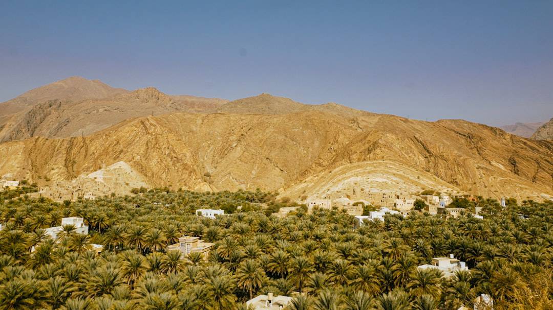
Ojito Wilderness Study Area
9.5 miles away
Cabezon Wilderness Study Area
14.9 miles away
Guadalupe Ruin
16.1 miles away · 4.8 ★
Chamisa Wilderness Study Area
18.1 miles away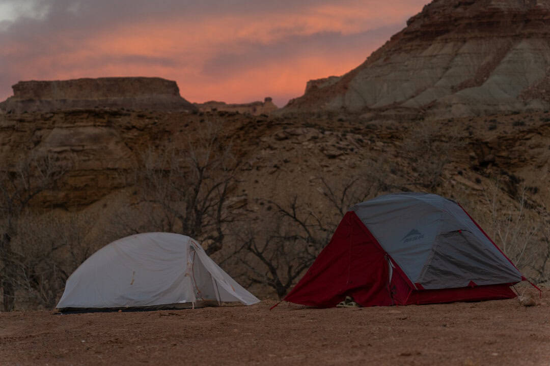
La Lena Wilderness Study Area
21.4 miles away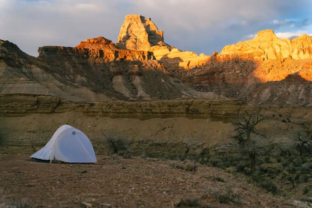
Ignacio Chavez Wilderness Study Area
22.6 miles away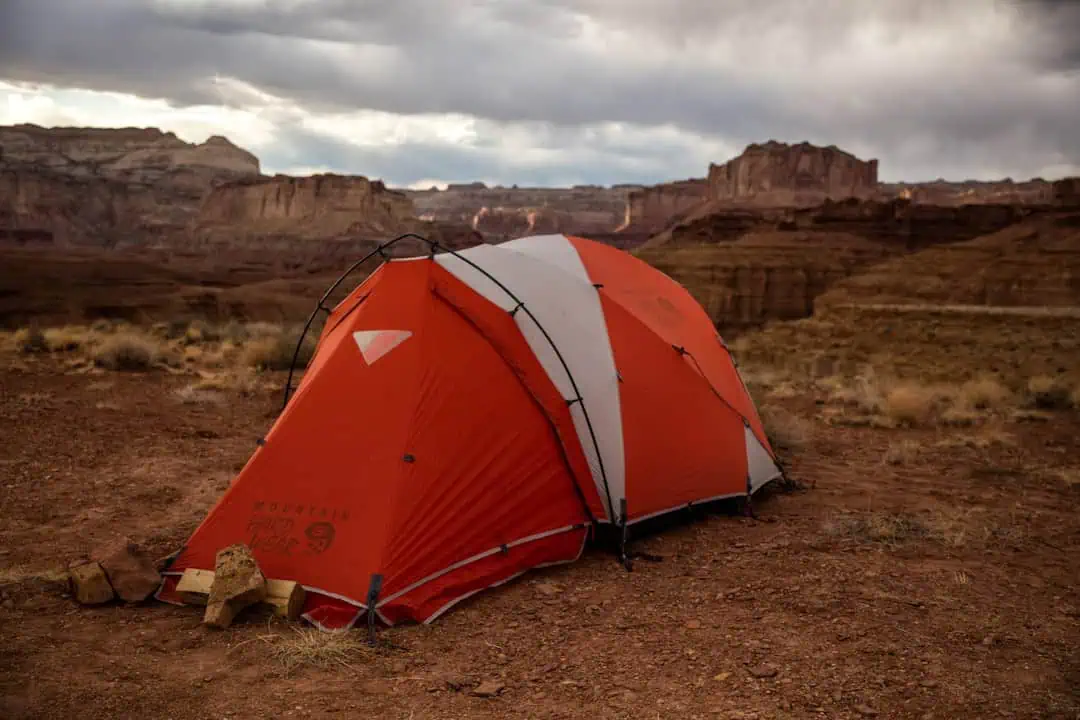
Empedrado Wilderness Study Area
23.9 miles away
Enchanted Circle Scenic Byway
26.2 miles away · 4.8 ★
