South Fork Clackamas Wild and Scenic River
Oregon
Overview:
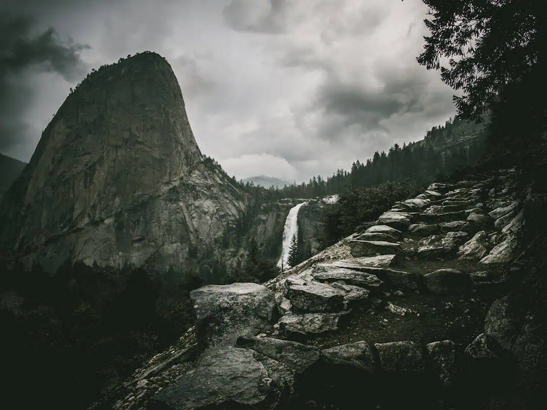
The South Fork of the Clackamas River is a tributary of the Clackamas River on the western slope of the Cascade Range in northwest Oregon. The 4.2-mile segment flows from its confluence with the East Fork of the South Fork of the Clackamas River and merges with Memaloose Creek to join the mainstem Clackamas River less than an hour’s drive from Portland. As it flows through a narrow canyon with large rock outcrops and cliffs, a 100-foot waterfall in the lower part of the segment and old-growth trees along the river add to the visual diversity. Seasonally, deer and elk are in the area, and spotted owls and bald eagles also call the watershed home. Most of the watershed, filled with Pacific silver fir, Douglas fir and western hemlock, is under the care of the U.S. Forest Service.
Know Before You Go:
- The South Fork Clackamas River is an area of concern for bats. More specifically transferring white nose syndrome. White nose syndrome was found to be present in western Washington this spring. This wiped out bats across eastern United States in past years. Several watersheds in the BLM’s Northwest Oregon District where identified as priority watersheds for the White Nose Syndrome Response because of these cave/tunnel resources. Individuals visiting the area can transfer material on their shoes from one location to another. Be sure to clean your equipment and boots before and after entering the tunnels to prevent the spread of white nose syndrome.
- There are no facilities on the Bureau of Land Management portion of the river; however the Forest Service’s seasonal Lazy Bend campground and Big Eddy Picnic Area offer nearby amenities.
- State Highway 224, following the Clackamas River, enjoys two designations: Cascading Rivers State Scenic Bikeway and the West Cascades National Scenic Byway.
- This is one of the most remote large streams in the state. There are no maintained trails within these BLM managed lands. Please treat the area as a primitive, cross-country experience and plan any visits accordingly.
- When recreating on public lands, practice Leave-No-Trace principles
Point of Interest:
The area is most recognizable by the green Pratt truss bridge at Memaloose Road, now closed to vehicular traffic, which sits atop the river and connects walkers to a primitive day-use area on the river’s south side.
Explore Nearby
- Milo McIver State Park — State Park in Oregon
- Bonnie Lure State Recreation Area — State Park in Oregon
- Mount Hood National Forest — National Forest in Oregon
- Historic Columbia River Highway — Scenic Byway in Oregon
- Willamette River Light — Lighthouse in Oregon
Nearby Discoveries
12 places to explore within 30 miles

Clackamas Wild and Scenic River
0 miles away · 3.5 ★
Milo McIver State Park
10.7 miles away
Bonnie Lure State Recreation Area
13.6 miles away
Sandy Wild and Scenic River
15.6 miles away · 4.7 ★
Table Rock Wilderness
17.1 miles away · 4.7 ★
Table Rocks Area of Critical Environmental Concern
17.1 miles away · 4.7 ★
Molalla Recreation Area
18 miles away
Mount Hood National Forest
18.5 miles away · 4.8 ★
George W. Joseph State Natural Area (accessible from Guy W. Talbot State Park)
23.1 miles away
Dabney State Recreation Area
23.4 miles away
Guy W. Talbot State Park
23.7 miles away