
South Caineville Mesa Trail
Utah
One of the more unique views in all of Utah is found by hiking up and onto South Caineville Mesa. This is a somewhat strenuous hike and exposes hikers to some very steep sidehills. The views are worth it. The eroding mountains and mesa’s have cut ravines that fan out dramatically at the base. The trail is about two and a half miles long to the top of the Mesa where there is a register box to sign in. Some might be satisfied with reaching the top, but while you are there, it’d be worth the time to walk south across the Mesa to see the old rock cabin that was built by some of the earliest ranchers.
Explore Nearby
- Capitol Reef Country Scenic Byway — Scenic Byway in Utah
- Goblin Valley State Park — State Park in Utah
- Torrey, Utah — Dark Sky Site in Utah
- Dixie National Forest — National Forest in Utah
- Anasazi State Park Museum — State Park in Utah
Nearby Discoveries
12 places to explore within 30 miles
9 Public Lands
1 Scenic Byway
1 State Park
1 Dark Sky Site
Public Land
Factory Butte Recreation Area
2.8 miles away
Public Land
North Caineville Mesa Trail
5.2 miles away · 4.8 ★
Public Land
Mt. Ellen-Blue Hills
10.9 miles away
Public Land
Burro Wash
13.4 miles away
Public Land
Muddy Creek
14.3 miles away · 4.5 ★
Public Land
Sheets Gulch
18.5 miles away
Public Land
Bull Creek Pass Backcountry Byway
18.5 miles away · 5.0 ★
Scenic Byway
Capitol Reef Country Scenic Byway
19.9 miles away · 4.8 ★
State Park
Goblin Valley State Park
21.2 miles away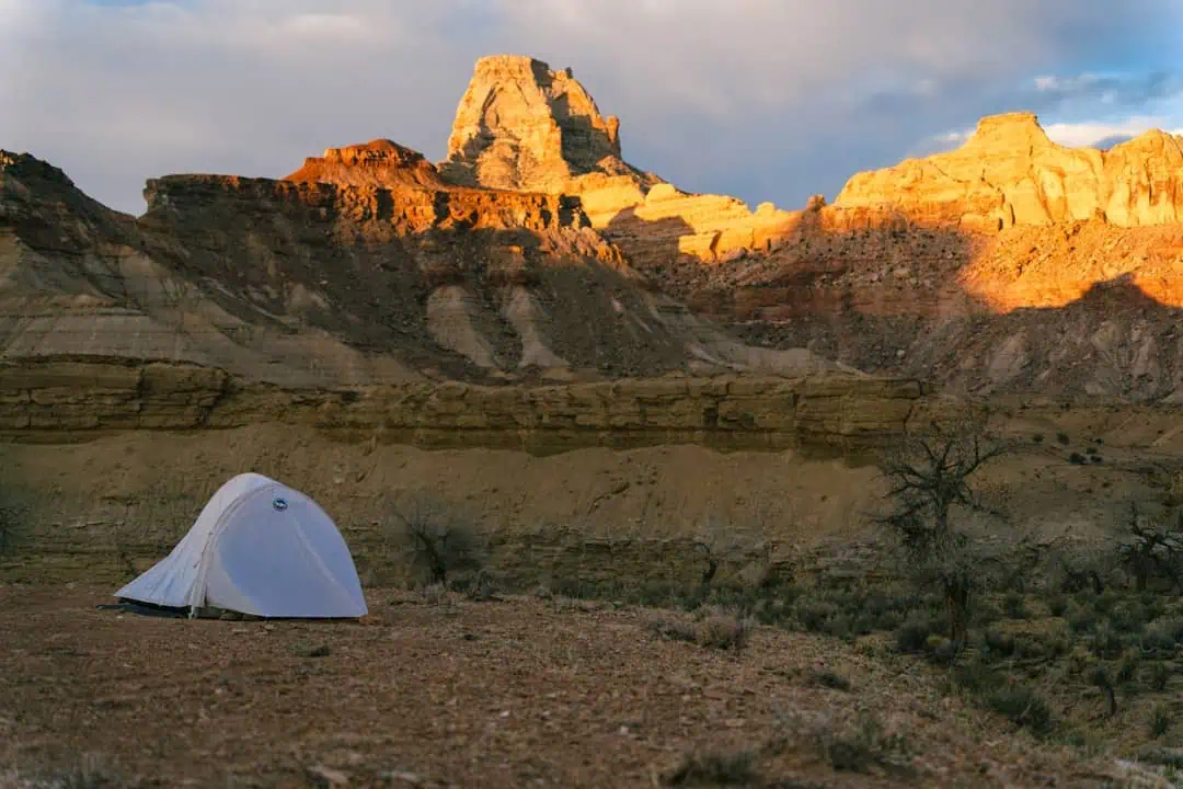
Public Land
Fremont Gorge
22.7 miles away
Public Land
Cathedral Valley Scenic Backway
25.1 miles away · 4.9 ★
Dark Sky Site
