
North Caineville Mesa Trail
Utah
The trail ascends over 1300 feet to the top of the mesa. Along the way it runs along the spines of the Mancos badlands up into the Ferron sandstone cap on the mesa itself. The trail is marked by cairns. The hike takes about 1 hour to 1 1/2 hours each way and is about 2 miles long. Near the top of the trail there are several names scratched in the rock from early explorers and ranchers. Once at the top, there is a register box to sign in. Views from the top of the mesa are unparalleled. A second trail to the top of North Caineville Mesa starts along State Route 24 near the “old cement truck” in Caineville. There are no developed facilities in this area.
Explore Nearby
- Goblin Valley State Park — State Park in Utah
- Capitol Reef Country Scenic Byway — Scenic Byway in Utah
- Torrey, Utah — Dark Sky Site in Utah
- Dixie National Forest — National Forest in Utah
- Piute State Park — State Park in Utah
Nearby Discoveries
12 places to explore within 30 miles
10 Public Lands
1 State Park
1 Scenic Byway
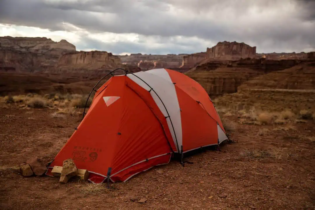
Public Land
Factory Butte Recreation Area
3.2 miles away
Public Land
South Caineville Mesa Trail
5.2 miles away · 4.7 ★
Public Land
Muddy Creek
13.5 miles away · 4.5 ★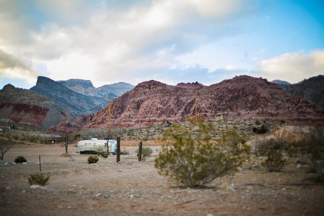
Public Land
Mt. Ellen-Blue Hills
16 miles away
State Park
Goblin Valley State Park
17.3 miles away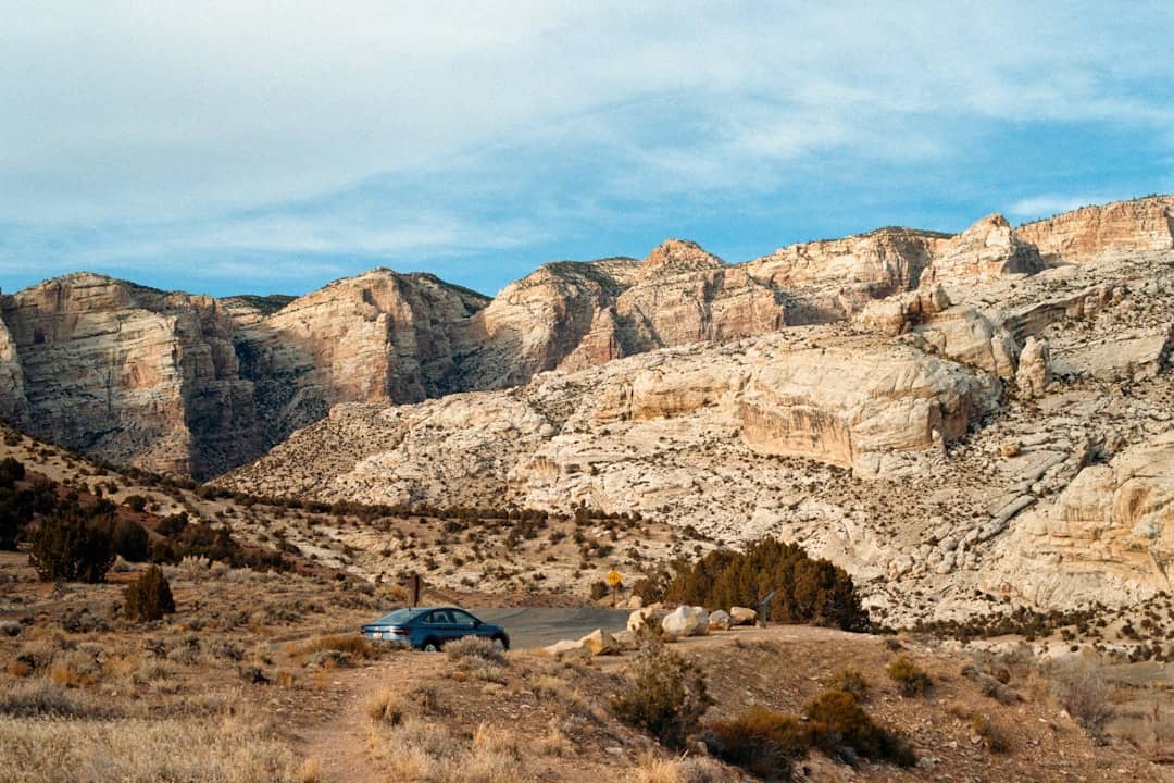
Public Land
Burro Wash
17.7 miles away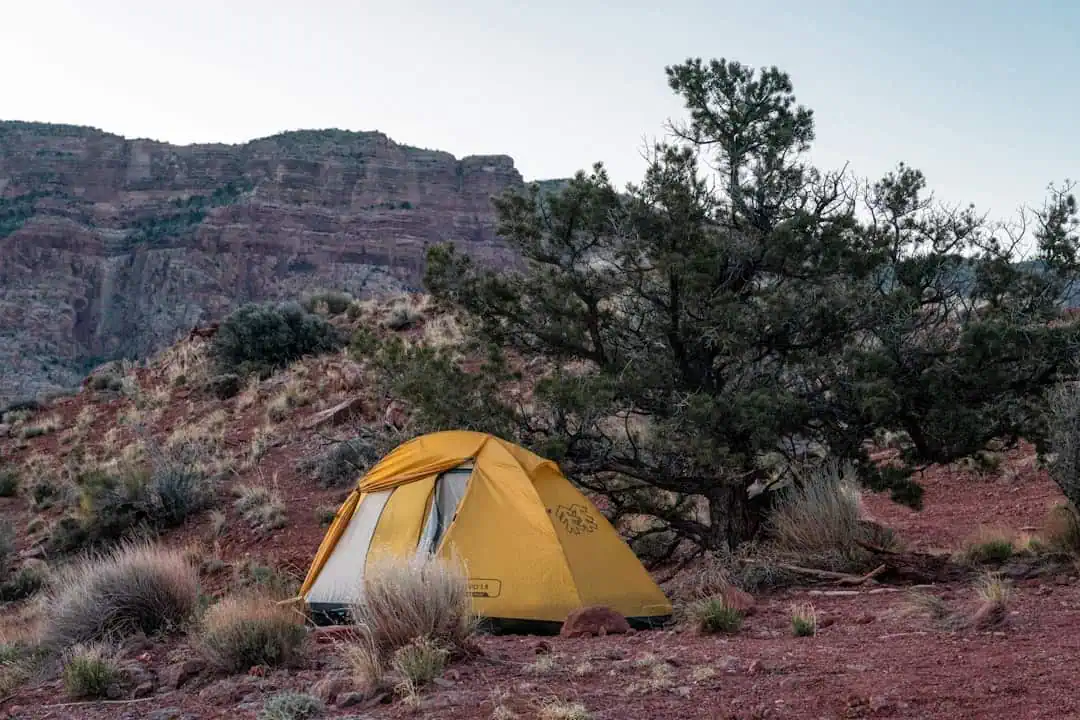
Public Land
Sheets Gulch
23.1 miles away
Public Land
Cathedral Valley Scenic Backway
23.3 miles away · 4.9 ★
Public Land
Bull Creek Pass Backcountry Byway
23.4 miles away · 5.0 ★
Public Land
Fremont Gorge
23.8 miles away
Scenic Byway
Capitol Reef Country Scenic Byway
24.5 miles away · 4.8 ★
Public Land
