
Sheets Gulch
Utah
Sheets Gulch, located in Utah and managed by the Bureau of Land Management, offers a stunning backdrop for outdoor enthusiasts seeking adventure in a less-traveled area. The canyon features a sandy wash bottom framed by low hills, leading up to the dramatic Waterpocket Fold of Capitol Reef National Park. Visitors can enjoy dispersed camping along the canyon, with no developed facilities available at the Sheets Gulch Trailhead, providing a true backcountry experience.
Hiking opportunities abound, allowing explorers to traverse the scenic terrain and capture breathtaking photographs of the unique geological formations. The trails can be rugged, so proper footwear and preparedness are essential. The best time to visit Sheets Gulch is during the spring and fall months when temperatures are mild, making outdoor activities more enjoyable.
Access is primarily via Notom Road, which can be rough and may require a high-clearance vehicle. Visitors should plan for minimal amenities and come equipped with water and supplies. Sheets Gulch is ideal for those seeking solitude and picturesque landscapes in Utah’s wild heart.
Explore Nearby
- Capitol Reef Country Scenic Byway — Scenic Byway in Utah
- Torrey, Utah — Dark Sky Site in Utah
- Anasazi State Park Museum — State Park in Utah
- Dixie National Forest — National Forest in Utah
- Ginkgo Petrified Forest State Park — State Park in Washington
Nearby Discoveries
12 places to explore within 30 miles

Capitol Reef Country Scenic Byway
1.4 miles away · 4.8 ★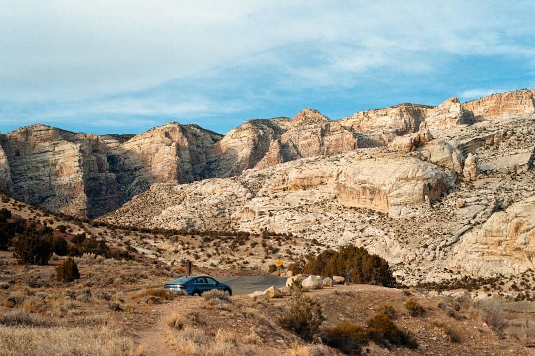
Burro Wash
5.4 miles away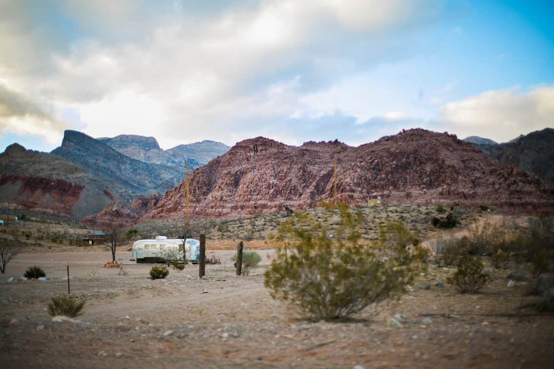
Mt. Ellen-Blue Hills
14 miles away
Bull Creek Pass Backcountry Byway
17.8 miles away · 5.0 ★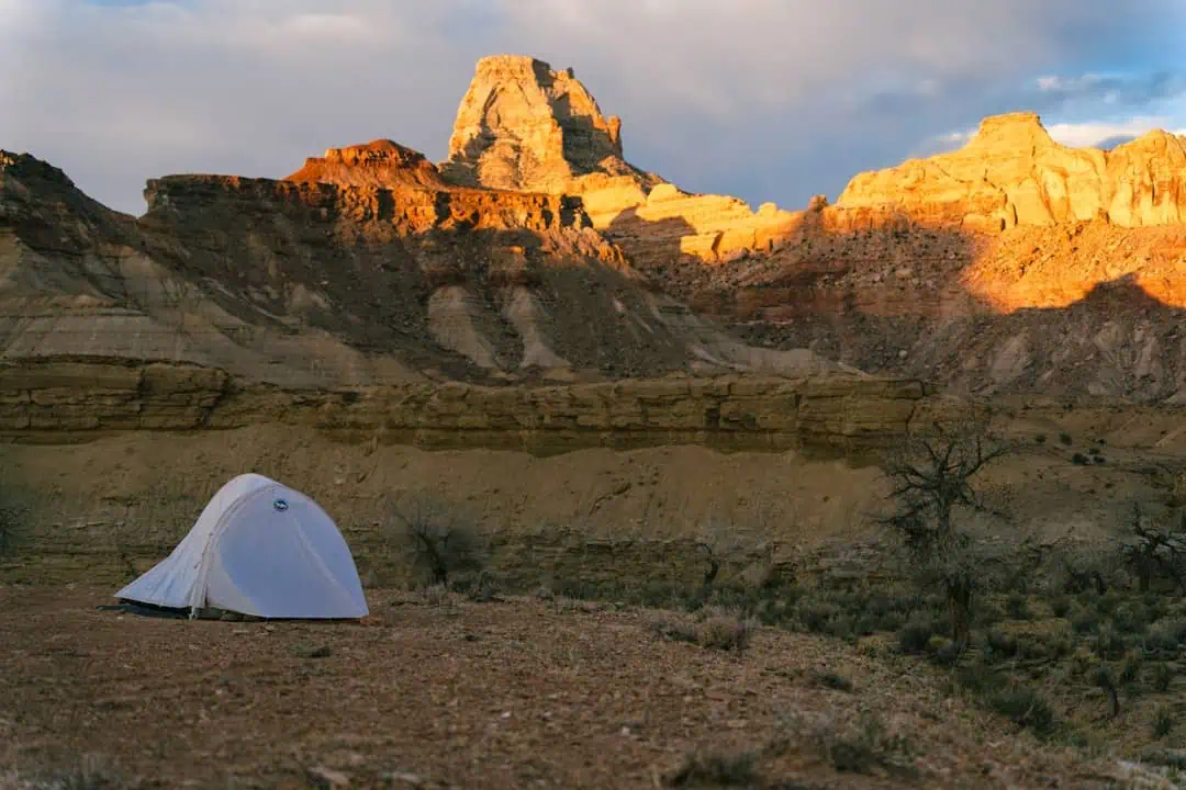
Fremont Gorge
17.8 miles away
South Caineville Mesa Trail
18.5 miles away · 4.7 ★
Torrey, Utah
20.5 miles away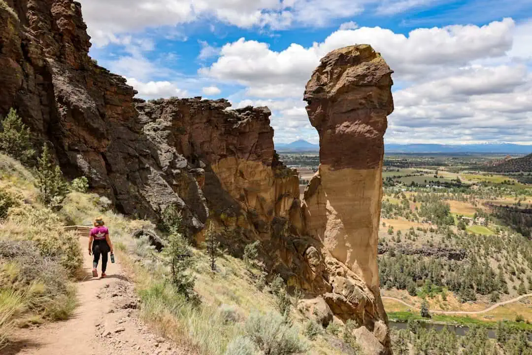
Anasazi State Park Museum
21 miles away
Mt. Pennell
21.2 miles away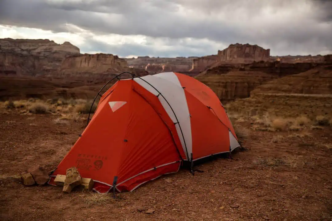
Factory Butte Recreation Area
21.3 miles away
Dixie National Forest
22.5 miles away · 4.6 ★
