
Rio Grande del Norte National Monument
New Mexico
The RÍo Grande del Norte National Monument is comprised of rugged, wide-open plains at an average elevation of 7,000 feet, dotted by volcanic cones, and cut by steep canyons with rivers tucked away in their depths. The RÍo Grande carves an 800-foot-deep gorge through layers of volcanic basalt flows and ash. Among the volcanic cones in the Monument, Ute Mountain is the highest, reaching to 10,093 feet.
This area has attracted human activity since prehistoric times. Evidence of ancient use is found throughout the area in the form of petroglyphs, prehistoric dwelling sites, and many other types of archaeological sites. More recent activity includes abandoned homesteading from the 1930s.
The Monument is an important area for wintering animals and provides a corridor by which wildlife moves between the two mountain ranges. The unique setting of the Monument also provides a wealth of recreational opportunities. Whitewater rafting, hunting, fishing, hiking, mountain biking, and camping are some of the more outstanding activities that can be enjoyed in the Monument.
New Mexico State Trust Land
Any public use of New Mexico State Trust Lands is strictly under the jurisdiction of the New Mexico State Land Office and requires a recreational access permit. For more information visit the New Mexico State Land Office.
Explore Nearby
- Carson National Forest — National Forest in New Mexico
- Eagle Nest Lake State Park — State Park in New Mexico
- Cimarron Canyon State Park — State Park in New Mexico
- La Frontera Del Llano — Scenic Byway in New Mexico
- Santa Fe National Forest — National Forest in New Mexico
Nearby Discoveries
5 places to explore within 30 miles

s Wild Rivers Recreation Area within the Rio Grande del Norte National Monument
9.2 miles away · 4.8 ★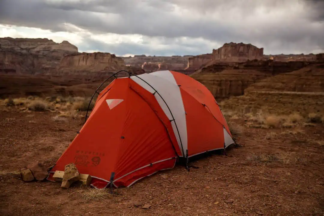
Homesteads of Upper Largo Canyon
14.6 miles away · 4.0 ★
Red River Wild and Scenic River
17.8 miles away · 4.6 ★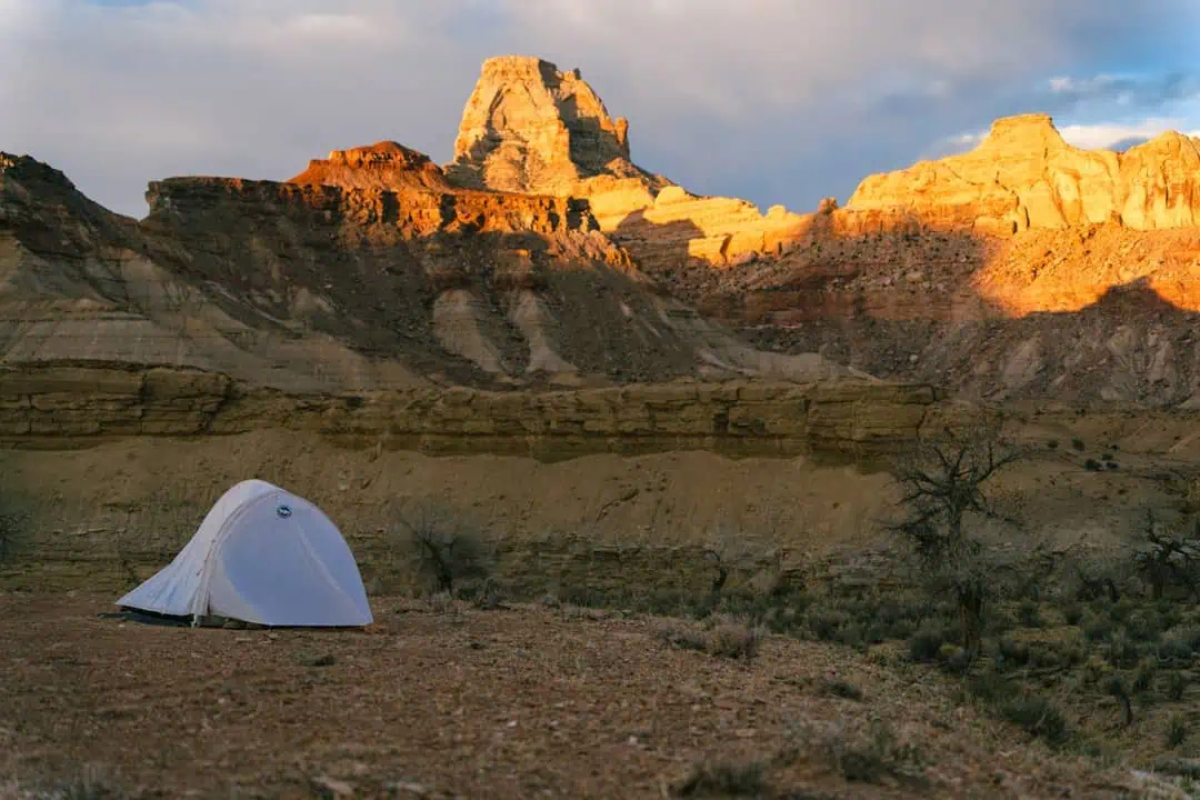
San Antonio Wilderness Study Area
18 miles away
