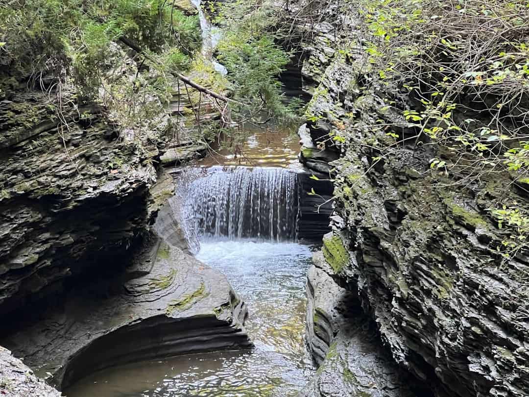
Mule Creek Trail
Oregon
The Mule Creek trail is located in the Wild Rogue Wilderness and meanders along vertical bluffs high above Mule Creek and East Fork Fork Mule Creek Canyons. This trail was constructed in the early 1900’s and historically has been used by miners and other early settlers as a pack trail to haul supplies into the backcountry. The U.S. Forest Service also used it to reach the lookout tower at Hanging Rock and the guard station at Marial. Hikers will enjoy a part of our history as well as scenic views, wildflowers and wildlife.
The best time to hike the trail is in the Spring or Fall. Summer temperatures can reach 100 degrees F on south-facing slopes. Camping along the trail is at dispersed sites. Carry water with you. Water is available near the south trailhead at the Rogue River Ranch. The water at Tucker Flat campground is not potable; the north trailhead has no spring water.
The north end of the trail connects with the Panther Ridge trail, Forest Service trail #1253. The south end of the trail is 1/2 mile from the Rogue River Ranch.
Know Before You Go:
- From Tucker Flat Campground, the trail climbs approximately 3000 vertical feet over 6.5 miles
- Tucker Flat Campground is a no-host campground with six campsites with no hook-ups and no potable water. This year-round, first-come first serve campground features pit toilets, picnic tables and is situated along the Grave Creek to Marial Back Country Byway.
- The 35,221-acre Wild Rogue Wilderness is co-managed by the Bureau of Land Management and the US Forest Service.
Point of Interest:
The 40-mile long Rogue River National Recreation Trail can also be accessed near the Tucker Flat Campground.
Explore Nearby
- Coquille Myrtle Grove State Natural Site — State Park in Oregon
- Holman State Wayside — State Park in Oregon
- Cape Blanco Light — Lighthouse in Oregon
- Coquille River Light — Lighthouse in Oregon
- Rogue River–Siskiyou National Forest — National Forest in Oregon, California
Nearby Discoveries
12 places to explore within 30 miles

Wild Rogue Wilderness
11.7 miles away · 5.0 ★
Rainie Falls Trail
14.2 miles away · 4.5 ★
Rogue River National Recreation Trail
15.6 miles away · 4.8 ★
Coquille Myrtle Grove State Natural Site
19.5 miles away
Sandy Creek Covered Bridge
19.7 miles away
Powder Wild and Scenic River
23.2 miles away · 4.8 ★
Rogue Wild & Scenic River
23.2 miles away · 4.8 ★
White Wild and Scenic River
23.2 miles away · 4.8 ★
Wolf Creek Recreation Area
24.2 miles away · 4.2 ★
Holman State Wayside
24.9 miles away
Hoffman Covered Bridge
24.9 miles away