South Carolina, located in the southeastern region of the United States, is a state known for its stunning coastline, rich history, and vibrant culture. With its picturesque beaches, charming small towns, and bustling urban centers, South Carolina offers a wonderful blend of nature and culture. To help visitors and residents navigate this beautiful state, we have created a detailed map of South Carolina with cities and highways.
This map highlights South Carolina’s major cities, including Charleston, Columbia, Greenville, and Myrtle Beach, as well as its primary highways and roads. Whether you’re planning a road trip or simply want to explore South Carolina’s unique landscape and culture, this map is an essential tool. So, grab your map and get ready to discover all that South Carolina has to offer, from its world-renowned golf courses to its historic landmarks and everything in between.
Printable South Carolina Map With Cities and Highways
Cities
Aiken
Aiken is the largest city in, and the county seat of, Aiken County, in western South Carolina. It is one of the two largest cities of the Central Savannah River Area. Founded in 1835, Aiken was named after William Aiken, the president of the South Carolina Railroad. It became part of Aiken County when the county was formed in 1871 from parts of Orangeburg, Lexington, Edgefield, and Barnwell counties.
Aiken is home to the University of South Carolina Aiken. The city has a population of 32,025 according to the 2020 census. Aiken has received several accolades, including the All-America City Award from the National Civic League in 1997 and the title of “best small town of the South” by Southern Living. Aiken offers a marvelous blend of history, culture, and outdoor recreation, making it a popular destination for tourists and a great place to call home.
Anderson
Anderson is a city in and the county seat of Anderson County, South Carolina, United States. The population was 28,106 at the 2020 census, and the city was the center of an urbanized area of 75,702. It is one of the principal cities in the Greenville, SC Metropolitan Statistical Area, which had a population of 824,112 at the 2010 census. It is included in the larger Greenville-Spartanburg-Anderson, SC Combined Statistical Area, with a total population of 1,266,995, at the 2010 census.
Located just off Interstate 85, Anderson is 120 miles (190 km) from Atlanta and 140 miles (230 km) from Charlotte. Anderson is the smallest of the three primary cities that make up the Upstate region, and is nicknamed the “Electric City” and the “Friendliest City in South Carolina.”
Anderson offers a variety of attractions, including Lake Hartwell, the Anderson County Museum, and the Anderson Jockey Lot and Farmer’s Market. The city is also home to Anderson University, a private, liberal arts institution. With its convenient location, friendly atmosphere, and abundance of amenities, Anderson is a great place to live, work, and visit.
Cayce
Cayce is a city in the U.S. state of South Carolina, located along the Congaree River. The population was 12,528 at the 2010 census and rose to 13,789 in the 2020 United States Census, making it the third-most populated municipality in Lexington County. The city is primarily in Lexington County, with additional, predominantly rural land to the east in Richland County.
Cayce is part of the Columbia Metropolitan Statistical Area and is within South Carolina’s Midlands region. The city has a rich history, dating back to the 18th century when it was settled by European immigrants. Today, Cayce is a thriving community with a diverse economy, including manufacturing, retail, and healthcare.
The city offers a variety of amenities, including parks, trails, and recreational facilities, as well as cultural attractions like the Cayce Historical Museum. With its prime location on the Congaree River and proximity to Columbia, Cayce is a great local destination.
Charleston
Charleston is the most populous city in the U.S. state of South Carolina, serving as the county seat of Charleston County and the principal city in the Charleston metropolitan area. The city lies just south of the geographical midpoint of South Carolina’s coastline on Charleston Harbor, an inlet of the Atlantic Ocean formed by the confluence of the Ashley, Cooper, and Wando rivers.
Charleston had a population of 150,277 at the 2020 census, while the Charleston metropolitan area, comprising Berkeley, Charleston, and Dorchester counties, had a population of 799,636 residents, making it the third-largest in the state, eighth-largest in the Deep South, and the 74th-largest metropolitan statistical area in the United States.
Charleston was founded in 1670 as Charles Town, honoring King Charles II, at Albemarle Point on the west bank of the Ashley River but relocated in 1680 to its present site, which became the fifth-largest city in North America within ten years. Charleston’s significance in American history is tied to its role as a major slave trading port.
Almost one-half of slaves imported to the United States arrived in Charleston, and the city has formally apologized for its role in the American slave trade. Today, Charleston is a vibrant city with a rich history, offering a variety of cultural attractions, including museums, galleries, and historic sites. It is also known for its beautiful beaches, world-class dining, and thriving arts and music scenes.
Clemson
Clemson is a city located in Pickens and Anderson counties in the U.S. state of South Carolina. The city is home to Clemson University, and in 2015, the Princeton Review cited the town of Clemson as ranking #1 in the United States for “town-and-gown” relations with its resident university.
The population of the city was 17,681 at the 2020 census. Clemson is part of the Greenville-Spartanburg-Anderson, SC Combined Statistical Area, with most of the city located in Pickens County, which is part of the Greenville-Mauldin-Anderson Metropolitan Statistical Area. A small portion of Clemson is in Anderson County. Clemson is a vibrant college town, offering a variety of amenities and attractions to both students and visitors.
The city is known for its beautiful campus, lively downtown area, and outdoor recreation opportunities, including hiking, boating, and fishing. With its strong ties to Clemson University and its picturesque setting in the foothills of the Blue Ridge Mountains, Clemson is a great place to live.
Columbia

Columbia is the capital city of the U.S. state of South Carolina, serving as the county seat of Richland County, with a portion of the city extending into neighboring Lexington County. With a population of 136,632 at the 2020 census, it is the second-most populous city in South Carolina. The city is located about 13 miles northwest of the geographic center of South Carolina and is the primary city of the Midlands region of the state.
Columbia is often abbreviated as Cola, leading to its nickname as “Soda City.” The city lies at the confluence of the Saluda River and the Broad River, which merge at Columbia to form the Congaree River. As the state capital, Columbia is the site of the South Carolina State House, the center of government for the state.
Columbia is home to the University of South Carolina, the state’s flagship public university, and the largest in the state. The area has benefited from Congressional support for Southern military installations, with Fort Jackson being the largest United States Army installation for Basic Combat Training.
Columbia is also the site of McEntire Joint National Guard Base, which is operated by the U.S. Air Force and is used as a training base for the 169th Fighter Wing of the South Carolina Air National Guard. With its rich heritage, lively culture, and thriving economy, Columbia is a rewarding local destination.
Easley
Easley is a city located in Pickens County, with parts extending into Anderson County, in the State of South Carolina. Most of the city lies in Pickens County, with a small portion of the city in Anderson County. Easley has a rich history and offers a range of attractions and amenities to both residents and visitors.
In 2001, Easley hosted the Big League World Series for the first time and continued to host the tournament annually until it was disbanded in 2016. In 2017, the Senior League World Series moved to Easley as the host for the annual tournament. The Upper South Carolina State Fair is located in Easley and is held annually in early September, featuring a variety of exhibits, rides, and entertainment.
Easley is also home to a number of parks and recreational facilities, including the Doodle Trail, a 7.5-mile rail trail that runs from Easley to Pickens. With its small-town charm, friendly atmosphere, and abundance of amenities, Easley is waiting for you with open arms.
Gaffney
Gaffney is a city located in the Upstate region of South Carolina, serving as the seat of Cherokee County. Known as the “Peach Capital of South Carolina,” Gaffney has a rich agricultural history and is famous for its delicious peaches. The population was 12,539 at the 2010 census, with an estimated population of 12,609 in 2019.
Gaffney is the principal city of the Gaffney, South Carolina, Micropolitan Statistical Area, which includes all of Cherokee County and is further included in the greater Greenville-Spartanburg-Anderson, South Carolina Combined Statistical Area. With a population of 55,662 according to 2012 estimates by the U.S. Census Bureau, the Gaffney Micropolitan Statistical Area is a flourishing economic hub in the region.
Gaffney offers a variety of attractions, including parks, museums, and historic sites. The city is also home to Limestone University, a private liberal arts college with a rich history dating back to 1845. With its small-town charm, friendly atmosphere, and strong sense of community, Gaffney is a great place to live, work, and visit.
Goose Creek
Goose Creek is the most populous city in Berkeley County, located in the U.S. state of South Carolina. With a population of 45,946 at the 2020 census, it is the 7th most populous city in the state. Most of the Naval Weapons Station Charleston is located in Goose Creek, making it an important military and economic hub in the region.
As defined by the U.S. Office of Management and Budget, Goose Creek is included within the Charleston–North Charleston–Summerville Metropolitan Area and the Charleston–North Charleston Urbanized Area and is a thriving economic center in the region.
Goose Creek offers a variety of amenities and attractions, including parks, museums, and historic sites. The city is also known for its excellent schools and a strong sense of community. With its convenient setting, robust economy, and high quality of life, Goose Creek is a marvelous local spot.
Greenville

Greenville is a city located in and the county seat of Greenville County, South Carolina, United States. With a population of 70,720 at the 2020 census, it is the sixth-most populous city in the state. Greenville is located approximately halfway between Atlanta, Georgia, and Charlotte, North Carolina, along Interstate 85, and its metropolitan area also includes Interstates 185 and 385.
As the anchor city of the Upstate, a combined statistical area with a population of 1,487,610 at the 2020 census, Greenville is the center of Upstate South Carolina, creating one of the largest urban centers in the Deep South. The city is home to numerous large companies, such as Michelin, Prisma Health, Bon Secours, Duke Energy, and Greenville County Schools is the largest school district in South Carolina.
Greenville has seen rapid development over the past two decades and has received many accolades and awards, including “The South’s Most ‘Tasteful’ Small Towns” from Forbes in 2020, “Best Places to Live” from Money in 2019, and “Best Place to Live in the USA #22” from U.S. News & World Report in 2019. The city continues to expand rapidly into the 2020s, with its population, economy, and development all experiencing significant growth.
Greenwood
Greenwood is a city located in and the county seat of Greenwood County, South Carolina. With a population of 22,545 at the 2020 United States Census, the city has seen a slight decrease in population since the 2010 census. Greenwood is a thriving community with a rich history and a variety of attractions and amenities.
The city is home to Lander University, a public liberal arts university with a strong academic reputation and a rich history dating back to 1872. Greenwood offers a variety of cultural and recreational opportunities, including museums, parks, and theaters.
The city is also known for its bustling downtown area, which features a variety of shops, restaurants, and entertainment venues. With its welcoming sense of community, friendly atmosphere, and high living standards, Greenwood is a great local choice.
Greer
Greer is a city located in both Greenville and Spartanburg counties in the U.S. state of South Carolina. With a population of 35,308 as of the 2020 census, Greer is a thriving community in Upstate South Carolina. The city is included in the Greenville, SC Metropolitan Statistical Area, which is part of the Greenville-Spartanburg-Anderson, SC Combined Statistical Area.
Greer is adjacent to Greenville-Spartanburg International Airport (GSP), which serves Greenville, Spartanburg, and the surrounding areas. The city is also home to the largest BMW manufacturing facility in North America, which employs about 9,000 people and has attracted dozens of suppliers in South Carolina, providing jobs for more than 12,000 people.
In addition, Greer is home to the South Carolina Inland Port, an intermodal facility that receives and sends containers by rail to the Port of Charleston. With its strong economy, convenient location, and high quality of life, Greer is a fulfilling spot in the locality.
Hanahan
Hanahan is a city located in Berkeley County, South Carolina, United States. The city has a population of 17,997 as of the 2010 census, up from 12,937 at the 2000 census. Portions of the Naval Weapons Station Charleston, including the Naval Consolidated Brig Charleston, are located in Hanahan, making it an important military and economic hub in the region.
As defined by the U.S. Office of Management and Budget, Hanahan is included within the Charleston-North Charleston-Summerville metropolitan area and the Charleston-North Charleston Urbanized Area. Hanahan offers a variety of amenities and attractions, including parks, museums, and historic sites.
Hilton Head Island

Hilton Head Island, often referred to as simply Hilton Head, is a Lowcountry resort town and barrier island in Beaufort County, South Carolina, United States. The island is named after Captain William Hilton, who in 1663 identified a headland near the entrance to Port Royal Sound, which mapmakers named “Hilton’s Headland.” With 12 miles of beachfront on the Atlantic Ocean, Hilton Head Island is a popular vacation destination.
The island has a rich history that started with seasonal occupation by Native Americans thousands of years ago and continued with European exploration and the Sea Island Cotton trade. It became an important base of operations for the Union blockade of the Southern ports during the Civil War.
Once the island fell to Union troops, hundreds of ex-slaves flocked to Hilton Head, which is still home to many of their descendants, who are known as the Gullah (or Geechee). They have managed to hold on to much of their ethnic and cultural identity. The Town of Hilton Head Island was incorporated as a municipality in 1983 and is well known for its eco-friendly development.
The town’s Natural Resources Division enforces the Land Management Ordinance which minimizes the impact of development and governs the style of buildings and how they are situated amongst existing trees. As a result, Hilton Head Island enjoys an unusual amount of tree cover relative to the amount of development.
The island offers an unusual number of cultural opportunities for a community its size, including plays at the Arts Center of Coastal Carolina, the Hilton Head Choral Society, the Hilton Head Symphony Orchestra, and several annual community festivals. It also hosts the RBC Heritage, a PGA Tour tournament played on the Harbour Town Golf Links in Sea Pines Resort.
Irmo
Irmo is a town located in both Lexington and Richland counties, South Carolina, United States. It is a suburb of Columbia and is part of the Columbia Metropolitan Statistical Area. The town is located 12 miles northwest of the city center and has a population of 11,097 as of the 2010 census.
Irmo offers a range of amenities and attractions, including parks, museums, and historic sites. The town is also known for its excellent schools and a strong sense of community. With its convenient location, strong economy, and high quality of life, Irmo is a wonderful place to settle or visit.
Mauldin
Mauldin is a city located in Greenville County, South Carolina. With a population of 24,724 as of the 2020 census, the city is a principal city of the Greenville, SC Metropolitan Statistical Area.
Mauldin offers a variety of amenities and attractions, including parks, museums, and historic sites. The city is also known for its excellent schools and a strong sense of community. With its easy location and robust economy, Mauldin is an unmissable location.
Mount Pleasant

Mount Pleasant is a large suburban town located in Charleston County, South Carolina, United States. With a population of 90,801 as of the 2020 census, it is the fourth most populous municipality and largest town in South Carolina, and for several years was one of the state’s fastest-growing areas, doubling in population between 1990 and 2000.
The town is part of the Charleston metropolitan area and offers a variety of amenities and attractions, including parks, museums, and historic sites. At the foot of the Arthur Ravenel Bridge is Patriots Point, a naval and maritime museum, home to the World War II aircraft carrier USS Yorktown, which is now a museum ship.
The Ravenel Bridge, an eight-lane highway that is part of U.S. Route 17 and was completed in 2005, spans the Cooper River and links Mount Pleasant with the city of Charleston. With its convenient location, bustling economy, and great pace of life, Mount Pleasant will reward your time and attention.
Myrtle Beach

Myrtle Beach is a resort city located in Horry County, South Carolina. It is located in the center of a long and continuous 60-mile stretch of beach known as the “Grand Strand” in the northeastern part of the state. With a year-round population of 35,682 as of the 2020 census, Myrtle Beach is one of the major centers of tourism in South Carolina and the United States.
The city’s warm subtropical climate, miles of beaches, 86 golf courses, and 1,800 restaurants attract over 20 million visitors each year, making Myrtle Beach one of the most visited destinations in the country. Originally called alternately “New Town” or “Withers”, the area was targeted for development as a resort community by Franklin Burroughs, whose sons completed a railroad to the beach and the first inn, Seaside Inn.
His widow named the new community Myrtle Beach after the local wax myrtle shrubs. The Myrtle Beach metropolitan area is one of the fastest-growing metropolitan areas in the country, with a population of 551,126 as of the 2020 census. With its beautiful beaches, vibrant culture, and strong economy, Myrtle Beach is an exciting place to explore.
North Augusta
North Augusta is a city located in both Aiken and Edgefield counties in the U.S. state of South Carolina, on the north bank of the Savannah River. It lies directly across the river, and state border, from Augusta, Georgia.
With a population of 24,379 as of the 2020 census, the city is included in the Central Savannah River Area (CSRA) and is part of the Augusta, Georgia, metropolitan area. North Augusta offers a variety of amenities and attractions, including parks, museums, and historic sites.
North Charleston
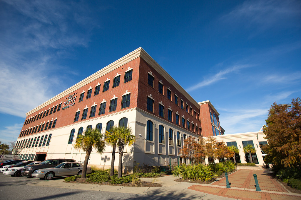
North Charleston is a city located in Berkeley, Charleston, and Dorchester counties within the U.S. state of South Carolina. As of the 2020 census, North Charleston had a population of 114,852, making it the 3rd most populous city in the state, and the 248th most populous city in the United States.
The city is a principal city within the Charleston-North Charleston, SC Metropolitan Statistical Area, which had a population of 799,636 in 2020. North Charleston offers a variety of amenities and attractions, including parks, museums, and historic sites.
Orangeburg
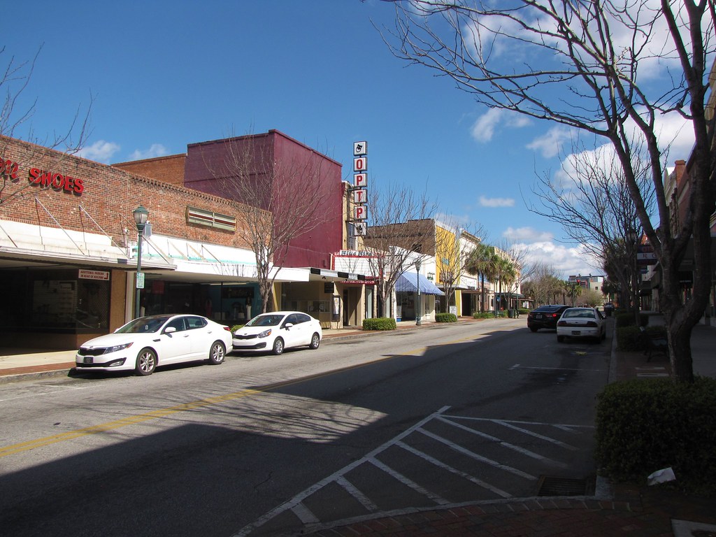
Orangeburg, also known as The Garden City, is the principal city in and the county seat of Orangeburg County, South Carolina, United States. With a population of 13,964 according to the 2020 census, the city is located 37 miles southeast of Columbia, on the north fork of the Edisto River.
Orangeburg is home to two historically black institutions of higher education: Claflin University, a liberal arts college, and South Carolina State University, a public university. The city offers a variety of amenities and attractions, including parks, museums, and historic sites. With its easy location and vigorous economy, Orangeburg is a marvelous place for residents and tourists alike.
Rock Hill

Rock Hill is the most populous city in York County, South Carolina, and the fifth-most populous city in the state. As of the 2020 census, the population was 74,372. The city is located approximately 25 miles south of Charlotte and approximately 70 miles north of Columbia. Rock Hill is also the fourth-largest city in the Charlotte metropolitan area, behind Charlotte, Concord, and Gastonia (all located in North Carolina, unlike Rock Hill).
The city offers scenic riverfront views along the Catawba River and is home to numerous nature trails, restaurants, and thirty-one parks which are used for both national and local events. Its historic downtown consists of twelve contiguous buildings built as early as 1840 offering dining and retail options.
The city is also home to three colleges, including Winthrop University, a public liberal arts university founded in 1886 which enrolls nearly 6,000 students annually. With its prosperous economy, energetic cultural life, and beautiful natural surroundings, Rock Hill is an amazing destination.
Simpsonville
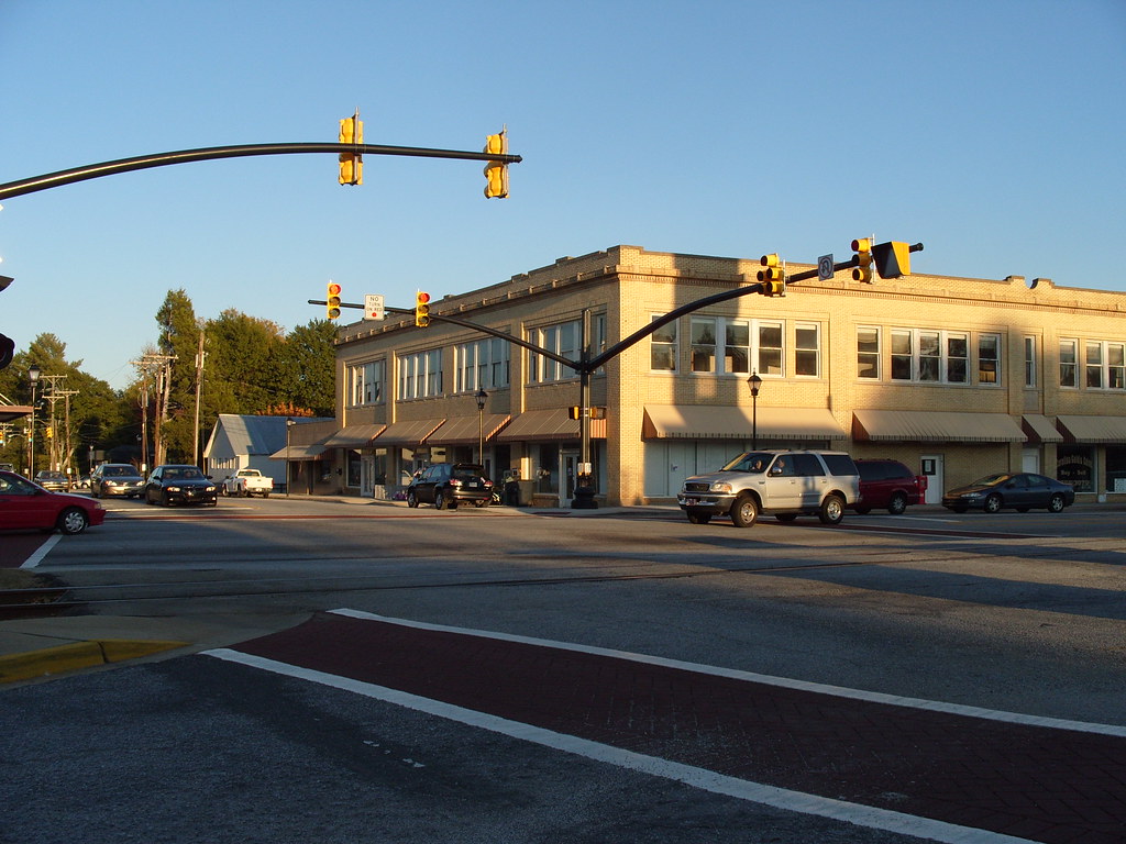
Simpsonville is a city located in Greenville County, South Carolina. With a population of 22,234 as of the 2020 census, the city is part of the Greenville, SC Metropolitan Statistical Area.
Simpsonville is also part of the “Golden Strip”, along with Mauldin and Fountain Inn, an area that is noted for having low unemployment due to a diversity of industries including H.B. Fuller, KEMET, Sealed Air, and Milliken. Simpsonville offers a wonderful array of amenities and attractions, including parks, museums, and historic sites.
Spartanburg

Spartanburg is a city located in and the seat of Spartanburg County, South Carolina, United States. With a population of 38,732 as of the 2020 census, the city is the 11th-largest city in the state. Spartanburg is the second-largest city in the greater Greenville–Spartanburg–Anderson Combined Statistical Area, which had a population of 1,385,045 as of 2014.
It is part of a 10-county region of northwestern South Carolina known as “The Upstate”, and is located 98 miles northwest of Columbia, 80 miles west of Charlotte, North Carolina, and about 190 miles northeast of Atlanta, Georgia. Spartanburg is home to several colleges and universities, including Wofford College, Converse University, Spartanburg Community College, and Edward Via College of Osteopathic Medicine.
The area is also home to USC Upstate, Sherman College of Chiropractic, and Spartanburg Methodist College. Spartanburg is the site of headquarters for Denny’s. With its strong education system, bustling economy, and pleasing surroundings, Spartanburg is a brilliant place to live, work, and visit.
Summerville
Summerville is a town located mostly in Dorchester County, with small portions in Berkeley and Charleston counties in the U.S. state of South Carolina. It is part of the Charleston-North Charleston-Summerville Metropolitan Statistical Area. With a population of 50,915 as of the 2020 census, Summerville offers a variety of amenities and attractions, including parks, museums, and historic sites.
The town is also home to several events throughout the year, including the Flowertown Festival, an annual event that attracts visitors from across the region. With its wonderful location and thriving economy, Summerville is a rewarding place for residents.
Sumter
Sumter is a city located in and the county seat of Sumter County, South Carolina. The city makes up the Sumter, SC Metropolitan Statistical Area. Sumter County, along with Clarendon and Lee counties, forms the core of the Sumter–Lee–Clarendon Tri-county (or East Midlands) area of South Carolina that includes three counties straddling the border of the Sandhills (or Midlands), Pee Dee, and Lowcountry regions.
With a population of 43,463 as of the 2020 census, Sumter is the 9th most populous city in the state. Sumter offers a variety of amenities and attractions, including parks, museums, and historic sites.
West Columbia
West Columbia, formerly known as Brookland, is a city and commuter town located in the suburban eastern sections of Lexington County, South Carolina. With a population of 14,988 according to the 2010 census, and a 2019 population estimate of 17,998, West Columbia is bordered to the east by Columbia, the state capital, across the Congaree River.
The city is near Columbia’s city center or downtown district as well as the South Carolina State House and the Congaree Vista, known locally as “the Vista.” West Columbia is also bordered to the south by its sister suburb, Cayce. A small portion of the city borders the town of Lexington to the east. West Columbia is part of the greater Columbia, SC metropolitan statistical area. The city offers a range of attractions, including parks, museums, and historic sites. With a great location and a thriving economy, West Columbia is a wonderful place.
Interstates
Interstate 77

Interstate 77 (I-77) is a south-north Interstate Highway that extends 91.2 miles (146.8 km) in the state of South Carolina, from the national southern terminus at an interchange with I-26 near Columbia, north to the North Carolina state line near Rock Hill and Charlotte, North Carolina.
The highway serves as a major transportation artery for the state, connecting the capital city of Columbia with the Charlotte metropolitan area. Along the way, I-77 passes through several cities and towns, including Blythewood, Winnsboro, and Fort Mill. With its efficient design and convenient route, I-77 is an important part of South Carolina’s transportation infrastructure.
Interstate 85

Interstate 85 (I-85) is a major highway that runs northeast-southwest through Upstate South Carolina, connecting the region with Atlanta, Georgia, and Charlotte, North Carolina. It became the first Interstate Highway in South Carolina to have its originally planned mileage completed.
The highway stretches 106.8 miles (171.8 km) in South Carolina, passing through several cities and towns, including Greenville, Spartanburg, and Gaffney. I-85 is a crucial transportation artery for the state, connecting it with major cities in the Southeast and facilitating the movement of goods and people. With its efficient design and convenient route, I-85 plays a vital role in South Carolina’s transportation infrastructure.
Interstate 95

Interstate 95 (I-95) is a major highway that runs along the East Coast of the United States from Florida to Maine. In South Carolina, I-95 runs approximately parallel to the Atlantic Ocean shore, about 50 miles (80 km) inland, from Hardeeville in the south to Dillon in the northeast. The route passes through several cities, including Florence and Walterboro.
As a major transportation artery, I-95 plays a crucial role in connecting South Carolina with other states along the East Coast. The highway facilitates the movement of goods and people and provides an easy route for travelers heading to popular destinations such as Myrtle Beach and Charleston. With its great design and convenient route, I-95 is a key part of South Carolina’s transportation infrastructure.
Interstate 20

Interstate 20 (I-20) is the main east-west Interstate Highway in the state of South Carolina, linking the state with important transportation and business hubs to the north, west, and south, including Atlanta, Georgia; Charlotte, North Carolina (via I-77); Savannah, Georgia (via I-95); and Washington, D.C. (via I-95).
The highway travels 141.51 miles (227.74 km) from the Georgia state line at North Augusta, through Columbia, to end at I-95 in Florence. Past I-95, the roadway continues as Interstate 20 Business (I-20 Bus.) for about two miles (3.2 km) to U.S. Route 76 (US 76), which goes to downtown Florence.
I-20 is a crucial transportation artery for the state, facilitating the movement of goods and people, and providing a convenient route for travelers heading to popular destinations such as Myrtle Beach and Charleston. With its efficient route, the I-20 is a chief part of South Carolina’s infrastructure.
Interstate 26

Interstate 26 (I-26) is the longest Interstate Highway in South Carolina, running generally east-west from near Landrum in Spartanburg County to U.S. Route 17 (US 17) in Charleston. The highway passes through several cities and towns, including Spartanburg, Columbia, and Charleston.
I-26 is a crucial transportation channel for the state, connecting it with other states to the west and facilitating the movement of goods and people. With its efficient route, I-26 is an important part of South Carolina’s transportation system.
Highways
Route 1
U.S. Highway 1 (US 1) is a 170.540-mile (274.458 km) north-south U.S. Highway that crosses South Carolina from southwest to northeast, connecting the cities of North Augusta, Aiken, Lexington, Columbia, Camden, and Cheraw. The route closely parallels Interstate 20 (I-20) from the Georgia border to Camden, where I-20 turns to a more directly easterly direction.
From Camden to the North Carolina border, US 1 is the highest capacity route through much of the Sandhills region. With its efficient design and convenient route, US 1 is an important part of South Carolina’s transportation infrastructure, facilitating the movement of goods and people throughout the state.
Route 15
U.S. Highway 15 (US 15) is a 158.832-mile (255.615 km) United States Numbered Highway that runs through the eastern part of South Carolina. The highway is a north-south route that travels from Walterboro to the North Carolina state line, north-northeast of McColl.
Along the way, US 15 passes through several cities and towns, including Sumter, Bishopville, and Hartsville. With its efficient design and convenient route, US 15 is a vital part of South Carolina’s transportation infrastructure, easing the movement of goods and people throughout the state.
Route 17

U.S. Highway 17 (US 17) is a 221.454-mile (356.396 km) north-south United States Numbered Highway that runs near the Atlantic Ocean in South Carolina. The highway enters the state from Georgia at the Savannah River and serves several cities and towns, including Hardeeville, Charleston, Georgetown, and Myrtle Beach, before entering North Carolina near Calabash.
With its helpful route and scenic views of the Atlantic Ocean, US 17 is a popular route for travelers heading to coastal destinations in South Carolina. The highway is also a marvelous part of South Carolina’s transportation infrastructure, facilitating the movement of goods and people throughout the state.
Route 21

U.S. Highway 21 (US 21) travels 233.2 miles (375.3 km) through the state of South Carolina. The route begins at Hunting Island State Park and travels west toward Beaufort, where it widens to four lanes and bypasses the city to the south, passing through Port Royal, Shell Point, and Burton. In the Beaufort area, US 21 passes by the entrances to Parris Island and Marine Corps Air Station Beaufort, the major Marine Corps installations in the area.
North of Beaufort, US 21 continues as a four-lane divided highway and intersects with US 17. The route travels in a wrong-way concurrency with US 17 south for seven miles (11 km) before turning north toward Yemassee, where it becomes a rural two-lane road and intersects with US 17 Alternate. US 21 continues through rural portions of the state, passing through Smoaks and Branchville and bypassing Orangeburg.
North of Orangeburg, US 21 runs roughly parallel to I-26 until Gaston where it conjoins US 321 and becomes an urban highway. US 21 passes through Cayce, West Columbia, and Columbia before splitting from US 321 and reverting to a rural two-lane road parallel to I-77. In York County, US 21 enters urban areas again, connecting Rock Hill and Fort Mill. The route merges with I-77 near Carowinds before entering North Carolina.
Route 25
U.S. Route 25 (US 25) is a 140.600-mile (226.274 km) U.S. Highway that travels from Brunswick, Georgia to the Kentucky-Ohio state line. In South Carolina, it travels south to north in the western part of the state, serving the northern part of the Augusta metropolitan area, Greenwood, and Greenville on its path from North Augusta to North Carolina in the Saluda Mountains, near Travelers Rest.
US 25 is a crucial transportation artery for the state, facilitating the movement of goods and people throughout the western part of South Carolina. With its convenient design and helpful route, US 25 is a chief part of South Carolina’s infrastructure.
Route 29
U.S. Route 29 (US 29) is a 110.202-mile (177.353 km) north-south United States highway that travels entirely in Upstate South Carolina, from the Savannah River to Blacksburg. The route passes through several cities and towns, including Anderson, Williamston, and Spartanburg.
With its efficient design and convenient route, US 29 is a principal part of South Carolina’s transportation system, facilitating the movement of goods and people throughout the upstate region of the state.
Route 52
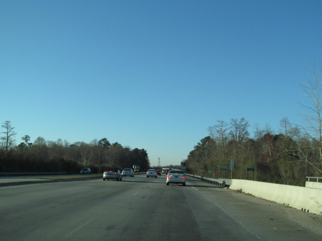
U.S. Route 52 (US 52) is a 159.960-mile (257.431 km) north-south U.S. Highway that travels from Charleston to the North Carolina state line near Cheraw. The highway serves as a strategic route through the central part of the state, connecting several cities and towns, including Moncks Corner, Kingstree, and Darlington.
Although an even-numbered U.S. Highway, which are typically signed east-west, it is signed east-west in South Carolina. In some other states along its route, it is signed east-west. The South Carolina segment is signed such that US 52 North corresponds to the general westward direction of the highway, and vice versa. With its great design and useful route, US 52 is an important part of South Carolina’s infrastructure, easing the movement of goods and people throughout the state.
Route 76

U.S. Route 76 (US 76) is an east-west U.S. highway in South Carolina, connecting the cities of Anderson, Columbia, Sumter, and Florence. As one of the longest and most important highways in the state, US 76 is a crucial transportation channel, helping the movement of goods and people throughout South Carolina.
The highway passes through several cities and towns, including Pendleton, Clemson, Seneca, and Newberry. With its efficient design and convenient route, US 76 is a key part of South Carolina’s transportation infrastructure.
Route 78

U.S. Route 78 (US 78) is a 142.207-mile (228.860 km) U.S. highway that travels from Memphis, Tennessee to Charleston, South Carolina. In South Carolina, it travels from the Savannah River at North Augusta to its eastern terminus in Charleston, connecting the cities of Aiken, Summerville, and North Charleston.
With its efficient design and convenient route, US 78 is an important part of South Carolina’s transportation infrastructure, facilitating the movement of goods and people throughout the state. The highway passes through several cities and towns, including Ridge Spring, Williston, and St. George. US 78 also provides access to several unmissable landmarks, such as the Aiken State Park and the Charleston International Airport.
Route 123
U.S. Route 123 (US 123) is a 75.12-mile (120.89 km) spur of US 23 that runs through Georgia and South Carolina. The highway connects the Northeast Georgia cities of Clarkesville and Toccoa with the western Upstate South Carolina communities of Westminster, Seneca, Clemson, Easley, and Greenville.
US 123 parallels I-85 to the north as it travels through the state, providing an alternative route for travelers heading to destinations in the western part of South Carolina. With its efficient design and convenient route, US 123 is an important part of South Carolina’s transportation infrastructure, facilitating the movement of goods and people throughout the state. The highway passes through several cities and towns, including Central, Liberty, and Pickens, before terminating at I-385 Business in Greenville.

