Amid the towering forests and rugged landscapes of the Beaver State lies a narrative as captivating as its diverse geography – a tale that weaves not only through its historic sites but also through the intricate flow of its rivers and the reflective allure of its lakes. Oregon, celebrated for its natural wonders and progressive spirit, holds within its embrace a treasure beyond its majestic peaks – a network of waterways that mirror its legacy of exploration and environmental stewardship.
Like the whispered conversations among towering trees, Oregon’s rivers and lakes carry stories of resilience, trade, and the unbreakable connection between its residents and the land. In this article, we embark on a journey that traces the pathways of Oregon’s rivers and reflects upon the mirrored depths of its lakes.
Join us as we unveil the significance of these aqueous chapters, uncovering their role in shaping the state’s identity, culture, and sustainable ethos, and revealing how water has etched its essence onto the very canvas of the Beaver State’s compelling narrative.
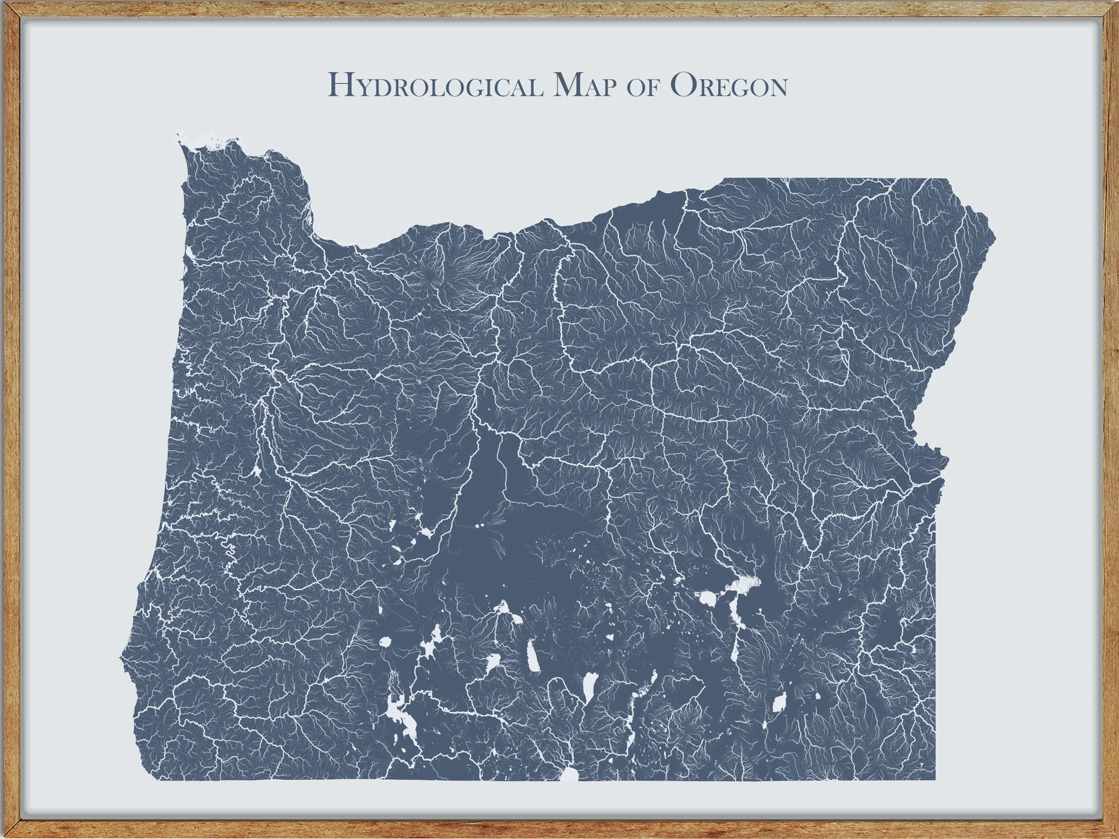
Printable Oregon Lakes and Rivers Map
Rivers
Willamette River
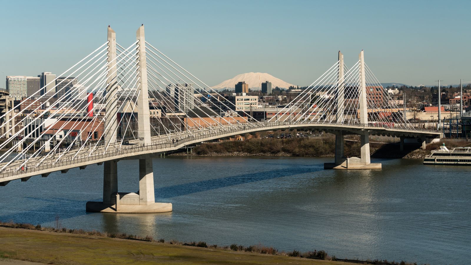
The Willamette River is a major tributary of the Columbia River, accounting for 12 to 15 percent of the Columbia’s flow, with its main stem lying entirely in northwestern Oregon and being 187 miles long.
The river flows northward between the Oregon Coast Range and the Cascade Range, forming the Willamette Valley, which contains two-thirds of Oregon’s population, including the state capital, Salem, and the state’s largest city, Portland, which surrounds the Willamette’s mouth at the Columbia.
The river’s drainage basin was significantly modified by the Missoula Floods at the end of the most recent ice age, and humans have been living in the watershed for over 10,000 years, with many tribal villages once located along the lower river and in the area around its mouth on the Columbia.
Deschutes River
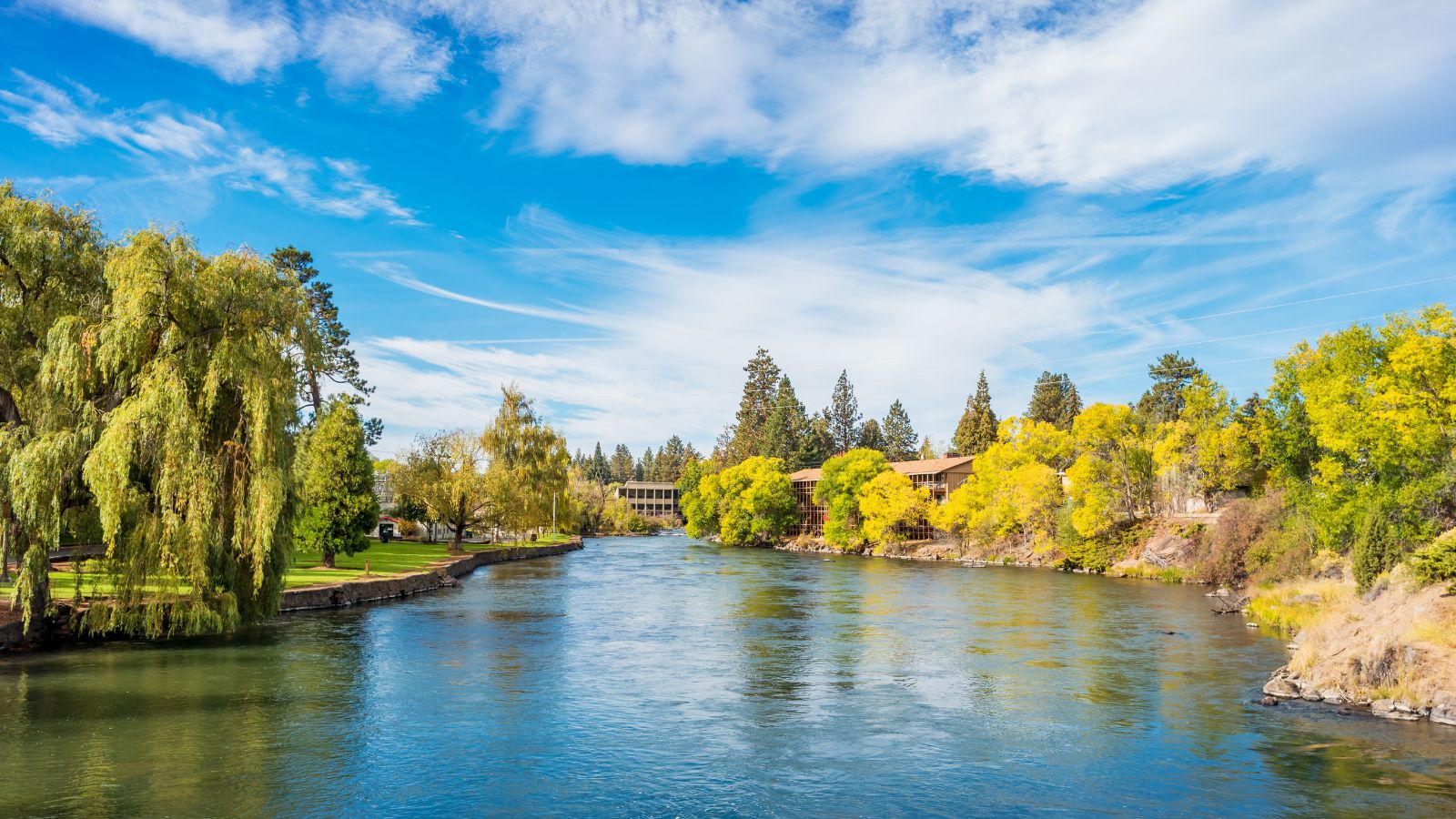
The Deschutes River is a major tributary of the Columbia River in central Oregon, providing much of the drainage on the eastern side of the Cascade Range by gathering many of the tributaries that descend from the drier, eastern flank of the mountains.
The river has been an important route to and from the Columbia for Native Americans for thousands of years, and then in the 19th century for pioneers on the Oregon Trail, flowing mostly through rugged and arid country and providing a cultural heart for central Oregon.
Today, the river is popular in the summer for whitewater rafting and fishing, supplying water for irrigation and flowing generally north, as do several other large Oregon tributaries of the Columbia River, including the Willamette and John Day.
John Day River
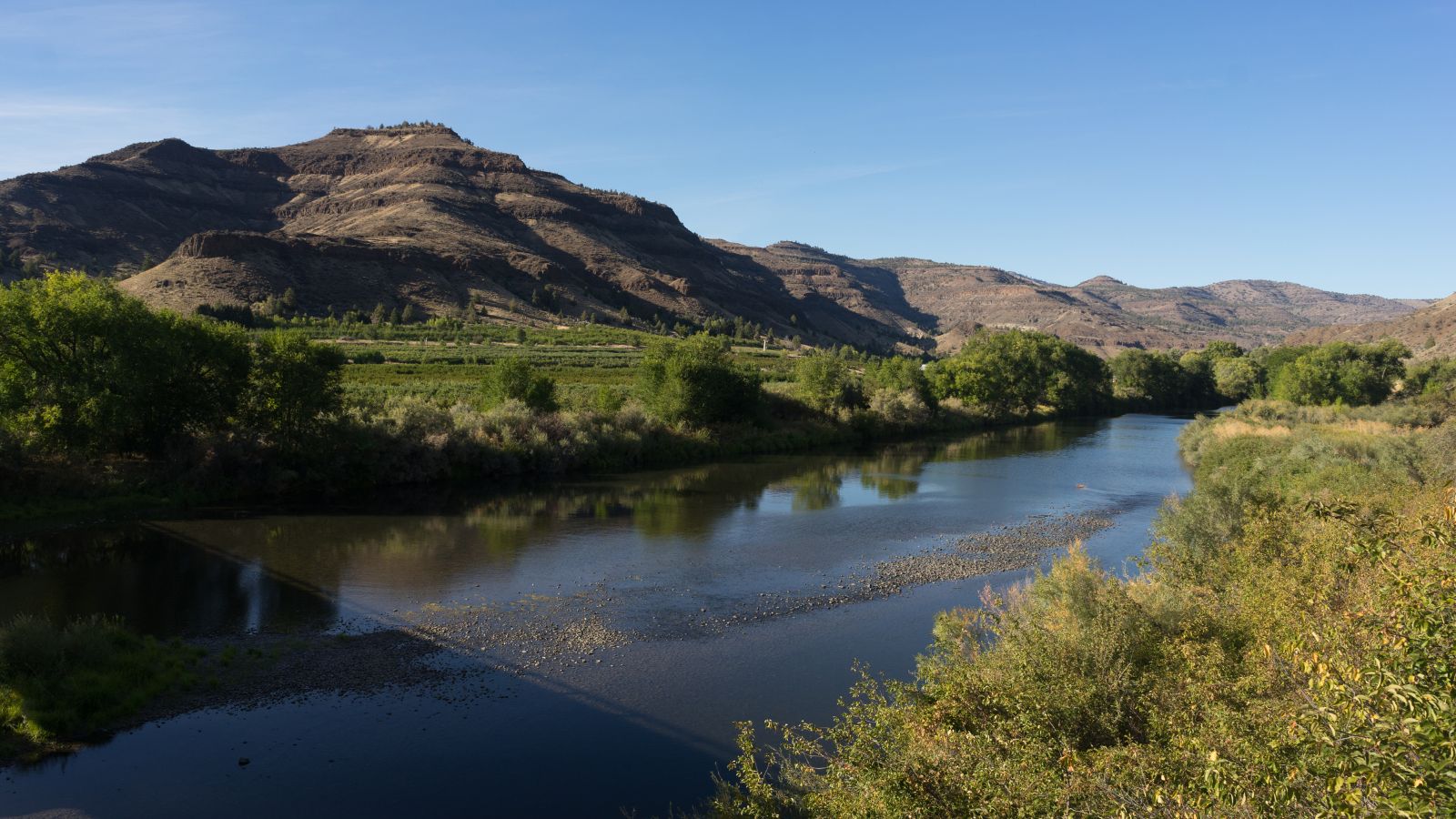
The John Day River is a tributary of the Columbia River, approximately 284 miles long, in northeastern Oregon, known as the Mah-Hah River by the Cayuse people, the original inhabitants of the region.
The river is the fourth longest free-flowing river in the contiguous United States, undammed along its entire length, and provides extensive use of its waters for irrigation, with its course furnishing habitat for diverse species, including wild steelhead and Chinook salmon runs.
The river was named for John Day, a member of the Pacific Fur Company’s overland expedition to the mouth of the Columbia River that left Missouri in 1810, who struggled through eastern Oregon during the winter of 1811-12 and was robbed and stripped naked by Native Americans at the mouth of the river that now bears his name, forcing him to hike 80 miles back to friendly Umatilla Indians under extreme conditions.
Crooked River
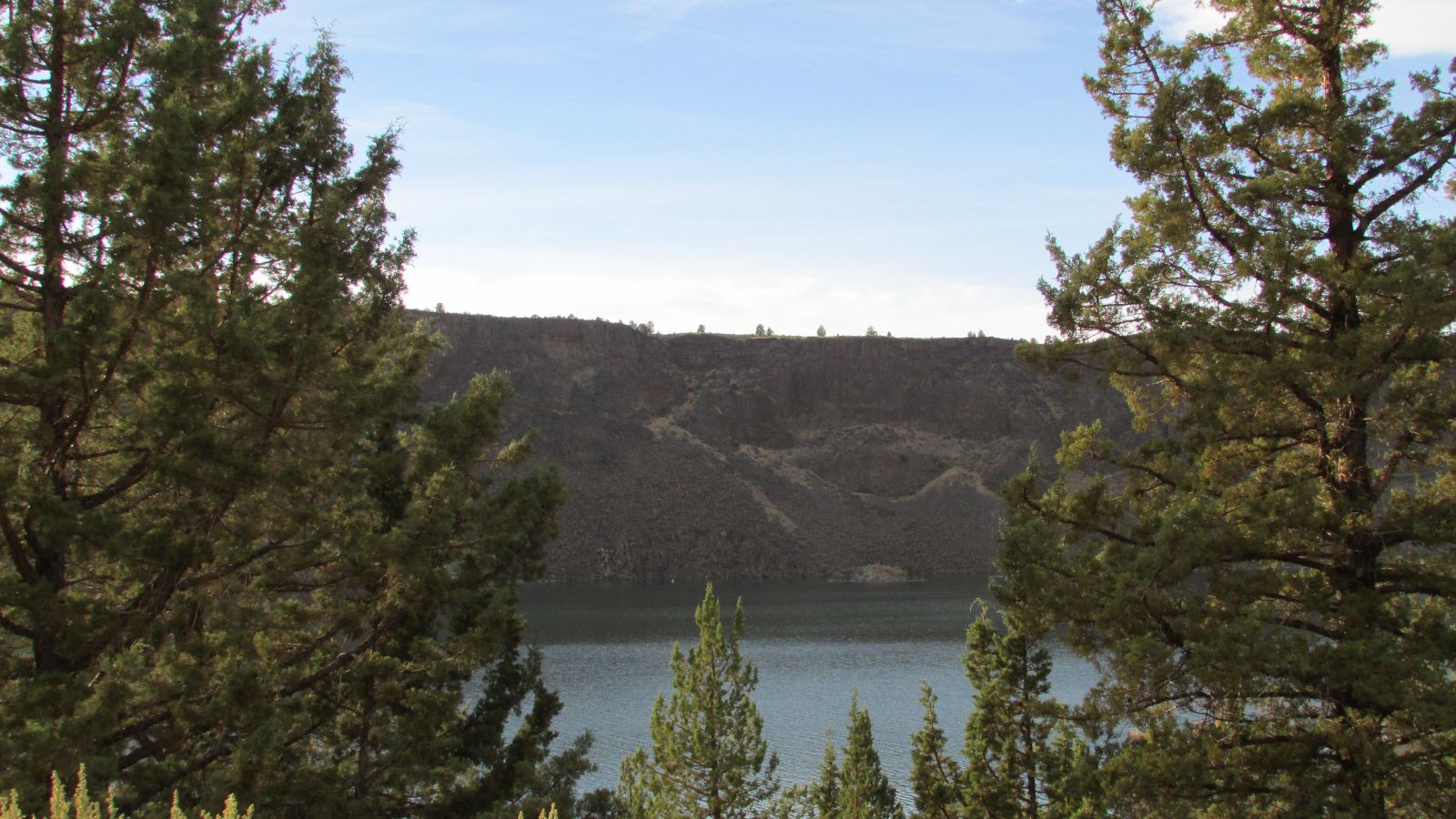
The Crooked River is a 125-mile-long tributary of the Deschutes River in Oregon, beginning at the confluence of the South Fork Crooked River and Beaver Creek, with the South Fork Crooked River being the larger of the two tributaries and sometimes considered part of the Crooked River proper.
The Deschutes River flows north into the Columbia River, with the Crooked River providing a popular spot for fly fishing and other recreational activities, including hiking and camping, with the Crooked River National Grassland and Crooked River Ranch located along the river.
Umpqua River

The Umpqua River is a principal river of the Oregon Coast, approximately 111 miles long, known for bass and shad and draining an expansive network of valleys in the mountains west of the Cascade Range and south of the Willamette Valley, from which it is separated by the Calapooya Mountains.
The river and its tributaries flow almost entirely within Douglas County, which encompasses most of the watershed of the river from the Cascades to the coast, forming the heart of the timber industry of southern Oregon, generally centered on Roseburg.
The Native Americans in the Umpqua’s watershed consist of several tribes, such as the Lower and Upper Umpqua (for which the river is named), and the Kalapuya, who witnessed much of the Great Flood of 1862, during which the Umpqua and other rivers rose to levels so high that even the oldest natives had never seen a greater flood.
Rogue River
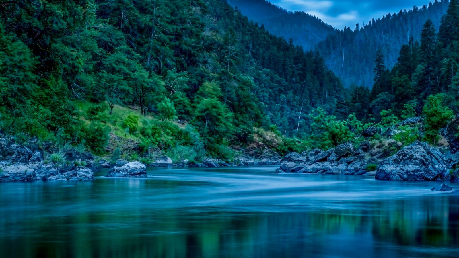
The Rogue River in southwestern Oregon flows about 215 miles in a generally westward direction from the Cascade Range to the Pacific Ocean, and is known for its salmon runs, whitewater rafting, and rugged scenery. It is one of the original eight rivers named in the Wild and Scenic Rivers Act of 1968.
The river flows through the geologically young High Cascades and the older Western Cascades, another volcanic province, and further west, passes through multiple exotic terranes of the more ancient Klamath Mountains, with the Kalmiopsis Wilderness section of the Rogue basin containing some of the world’s best examples of rocks that form the Earth’s mantle.
Near the mouth of the river, the only dinosaur fragments ever discovered in Oregon were found in the Otter Point Formation, along the coast of Curry County.
Williamson River
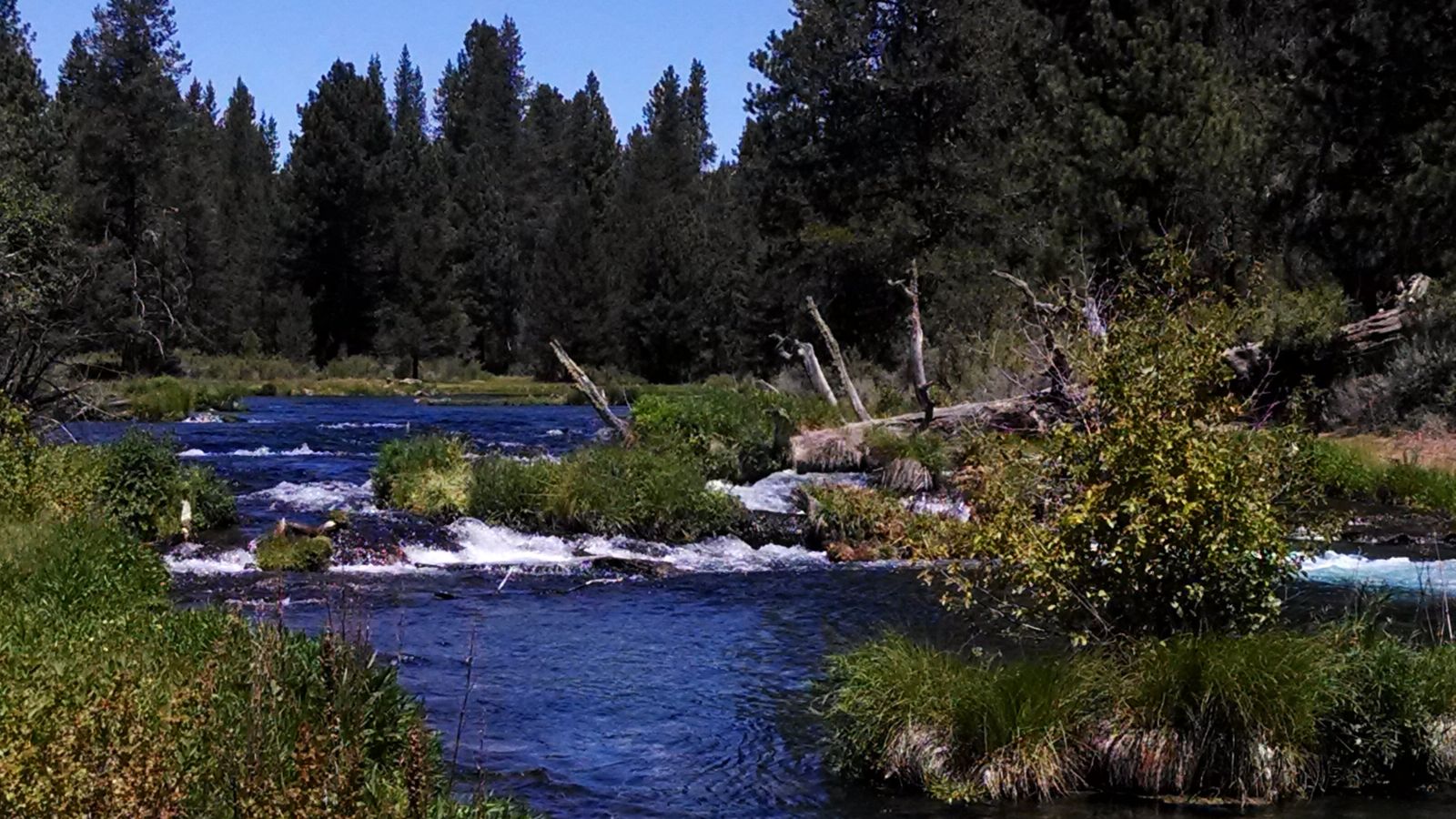
The Williamson River is a 100-mile-long river in south-central Oregon, draining about 3,000 square miles east of the Cascade Range, and providing over half the inflow to Upper Klamath Lake, the largest freshwater lake in Oregon.
The river rises from a large spring in central Klamath County, on the north side of Fuego Mountain, in the Winema National Forest, flowing in a large arc north through the mountains, then west, then southwest through Klamath Marsh and the Klamath Marsh National Wildlife Refuge.
It receives Spring Creek from the right at Collier Memorial State Park, and the Sprague River from the left at about river mile 11 at Chiloquin before entering the northern end of Upper Klamath Lake near Modoc Point, about 20 miles northwest of Klamath Falls.
Sprague River
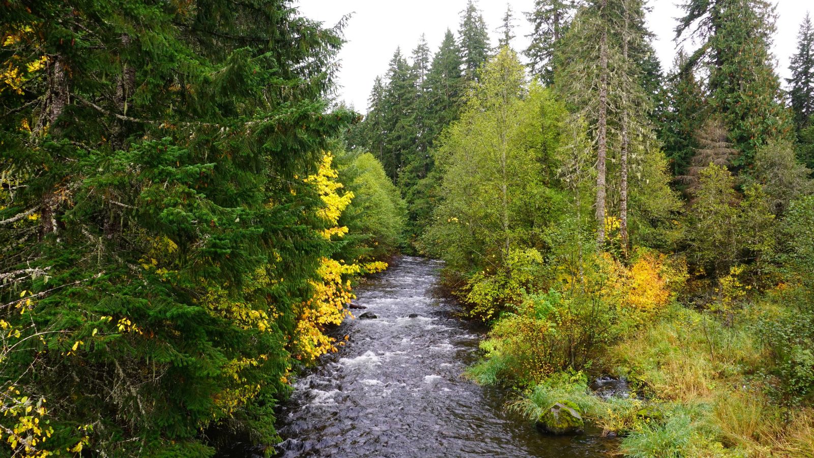
The Sprague River is a 75-mile-long tributary of the Williamson River in southwestern Oregon, draining an arid volcanic plateau region east of the Cascade Range in the watershed of the Klamath River.
It is formed by the confluence of its north and south forks in eastern Klamath County, flowing west through the broad Sprague Valley, past the small communities of Bly, Beatty, and Sprague River, receiving the Sycan River from the north at Beatty. The river provides superb trout fishing opportunities in the Sprague and its tributaries.
Donner und Blitzen River
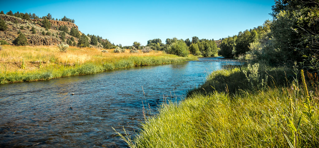
The Donner und Blitzen River is a scenic river on the eastern Oregon high desert that drains a relatively arid basin, offering unique ecosystems and exceptional wild trout fisheries, including a native species of Great Basin Redband Trout, amongst many other forms of flora and fauna.
Named by soldiers of German origin, the river translates as “thunder and lightning” and is named for a thunderstorm the soldiers experienced as they crossed the river, with dry lightning being an almost daily occurrence in the region during certain times of the year.
As part of the 2000 Steens Mountain Protection Act, the Donner und Blitzen Red Band Trout Reserve was created to conserve, protect, and enhance the Donner und Blitzen population of redband trout and the unique ecosystem of plants, fish, and wildlife of a river system.
Silvies River
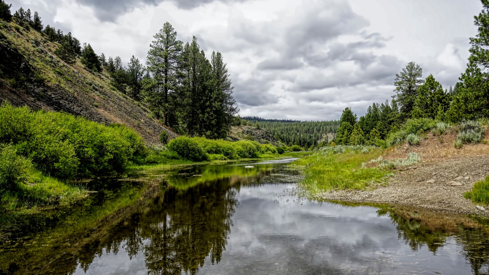
The Silvies River is a 119-mile-long river that flows through Grant and Harney counties in Oregon, draining 1,273 square miles of the northern Harney Basin. The river’s headwaters are on the southern flank of the Aldrich Mountains, passing near Seneca and Burns, and splitting into two distributaries, the East Fork Silvies River and the West Fork Silvies River, both terminating at Malheur Lake.
The river supports populations of redband trout on its upstream reaches, while downstream of Seneca, fish such as smallmouth bass, yellow perch, and carp are more abundant, with the pool behind Five-Mile Dam being used for swimming, canoeing, and fishing.
Burnt River
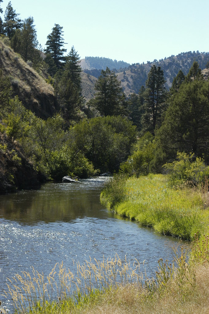
The Burnt River is a 98-mile-long tributary of the Snake River in eastern Oregon, draining 1,090 square miles and flowing predominantly west to east.
The river begins at Unity Reservoir at the confluence of the North, West, Middle, and South forks of the river, flowing under Oregon Route 245 and running east through the upper Burnt River Valley past Hereford and Bridgeport, through the Burnt River Canyon to Durkee, and turning generally south at Durkee. It runs along Interstate 84 past Weatherby, Dixie, and Lime before flowing under the Interstate, turning east again, and passing Huntington to reach the Snake River.
Powder River

The Powder River is a 153-mile-long tributary of the Snake River in northeast Oregon, draining an area of the Columbia Plateau on the eastern side of the Blue Mountains.
The river flows almost entirely within Baker County but downstream of the city of North Powder forms part of the border between Baker County and Union County. As a popular spot for fishing, the Powder River is home to a variety of fish species, including rainbow trout, brook trout, and smallmouth bass.
Imnaha River

The Imnaha River is a designated Wild and Scenic river, flowing for 73.3 miles through Wallowa County, Oregon, and following a geologic fault to the Snake River. Its corridor includes parts of the Eagle Cap Wilderness, Hells Canyon National Recreation Area, and Hells Canyon Scenic Byway, in addition to land in the Wallowa-Whitman National Forest and private land.
The Imnaha River flows by the unincorporated community of Imnaha, the only settlement along its course, and enters the Snake River roughly 4 miles from the larger river’s confluence with the Salmon River of Idaho and 192 miles from its confluence with the Columbia River.
Wallowa River
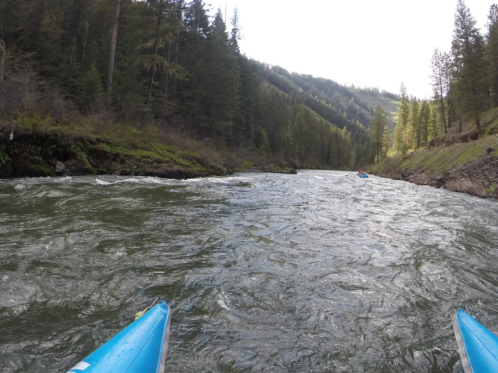
The Wallowa River is a 55-mile-long tributary of the Grande Ronde River in northeastern Oregon, draining a valley on the Columbia Plateau in the northeast corner of the state north of the Wallowa Mountains.
The Wallowa Valley was home to Chief Joseph’s band of the Nez Perce Tribe, who were expelled and had their property and livestock seized by the U.S. government in 1877 when non-Indian farmers and ranchers wanted to settle the fertile Wallowa Valley. Despite repeated petitions, the tribe was barred from returning to their homeland and were shipped in unheated box cars to Indian Territory (now Oklahoma) to be placed in a prisoner-of-war camp, never to see their home again.
Umatilla River

The Umatilla River is an 89-mile tributary of the Columbia River in northern Umatilla County, Oregon, draining a basin of 2,450 square miles and entering the Columbia near the city of Umatilla in the northeastern part of the state.
The name Umatilla is derived from the Native American autonym of the people residing along its banks – the Umatilla, which called themselves Imatalamłáma. Today, the river is also called Nixyáawi wána, meaning “Pendleton area River, i.e. Umatilla River”.
Malheur River
The Malheur River is a 190-mile-long tributary of the Snake River in eastern Oregon, draining a high desert area between the Harney Basin, the Blue Mountains, and the Snake. Despite its name, the river does not flow into nearby Malheur Lake, which is located in the enclosed Harney Basin southwest of the watershed of the river, although the lake used to drain into the Malheur River when water levels were higher.
Nehalem River
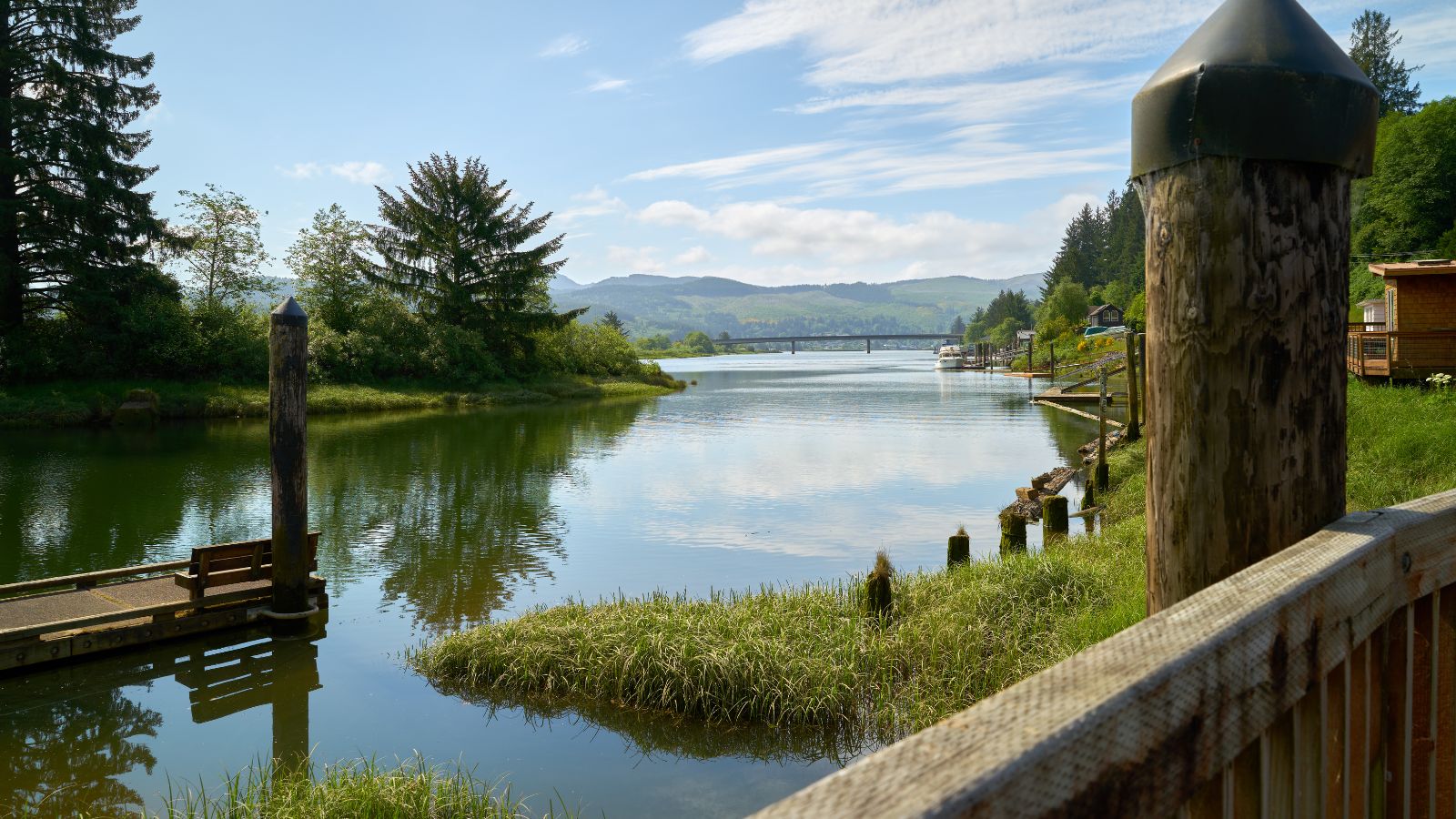
The Nehalem River is a 119-mile-long river on the Pacific coast of northwest Oregon, originating on the east side of the Northern Oregon Coast Range and flowing in a loop around the north end of the range near the mouth of the Columbia River.
Its important timber-producing watershed of 855 square miles includes the site of the Tillamook Burn, and it flows through a long narrow valley of small mountain communities in its upper reaches but is unpopulated along most of its lower reaches inland from the coast.
The river enters Nehalem Bay on the Pacific in an estuary at Nehalem, passing under U.S. Route 101 near its mouth and receiving the Salmonberry River from the east in northern Tillamook County and the North Fork Nehalem River 25 miles from the north just before entering Nehalem Bay.
Clackamas River
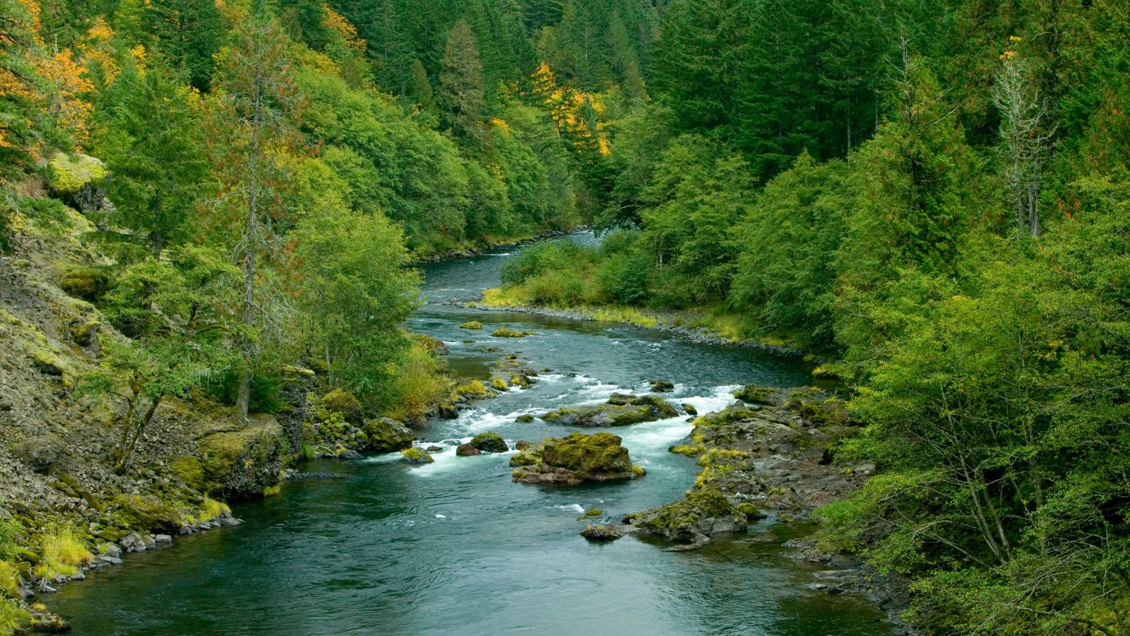
The Clackamas River is an 83-mile-long tributary of the Willamette River in northwestern Oregon, flowing through mostly forested and rugged mountainous terrain in its upper reaches and passing agricultural and urban areas in its lower third.
The river rises in eastern Marion County on the slopes of Olallie Butte in the Mount Hood National Forest and flows briefly north before turning northwest through the mountains, passing through North Fork Reservoir and Estacada before emerging southeast of Portland. It joins the Willamette near Oregon City and forms the boundary between Oregon City and Gladstone.
South Santiam River
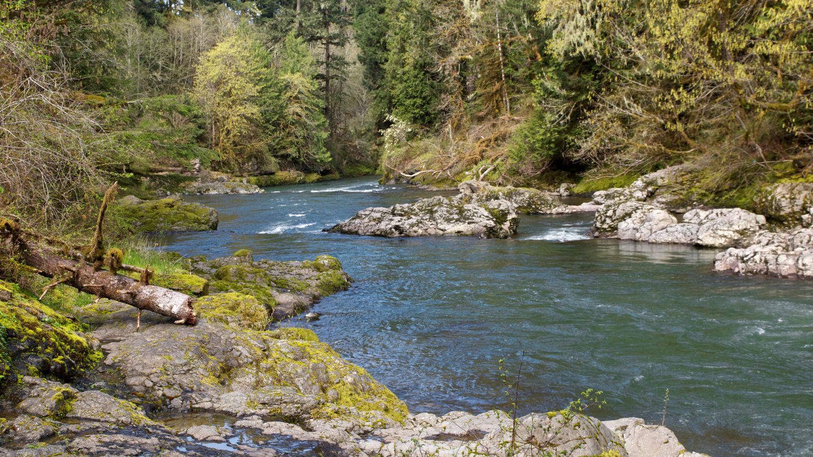
The South Santiam River is a 69-mile-long tributary of the Santiam River in western Oregon that drains an area of the Cascade Range into the Willamette Valley east of Corvallis.
It rises in the Cascades in southeastern Linn County in the Willamette National Forest at the confluence of Sevenmile and Squaw creeks, flowing briefly north, then generally west through the Western Cascades and Cascadia before entering Foster Reservoir, where the Middle Santiam River joins the South Santiam.
Downstream from the reservoir, it flows west past Sweet Home, where it turns northwest, passing through the foothills into the Willamette Valley near Lebanon, and joins the North Santiam River from the southeast to form the Santiam approximately 15 miles northeast of Lebanon, about 10 miles east of the confluence of the Santiam with the Willamette River.
McKenzie River
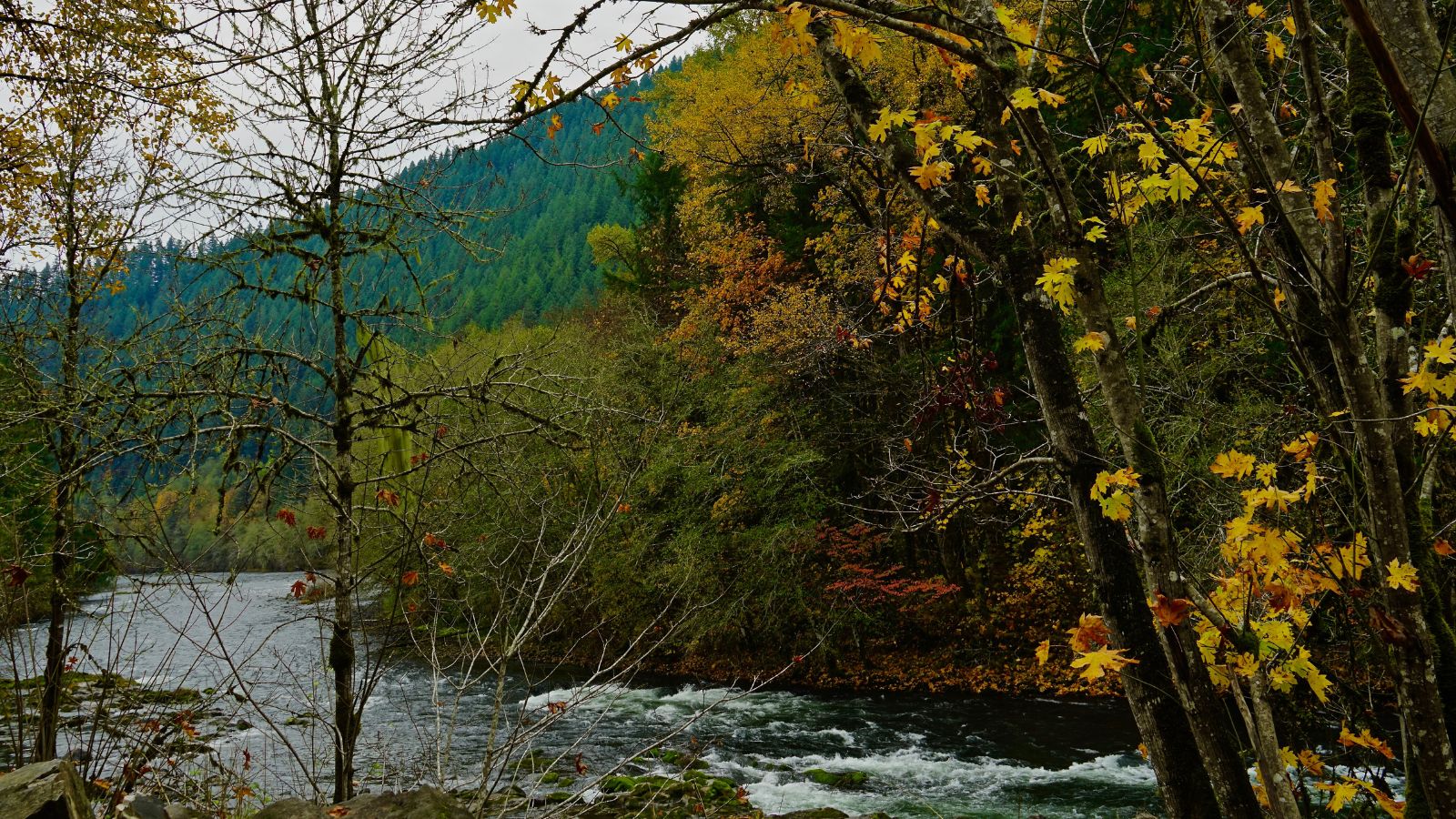
The McKenzie River is a 90-mile-long tributary of the Willamette River in western Oregon that drains part of the Cascade Range east of Eugene and flows westward into the southernmost end of the Willamette Valley. It is named after Donald McKenzie, a Scottish Canadian fur trader who explored parts of the Pacific Northwest for the Pacific Fur Company in the early 19th century. However, six large dams have been built on the McKenzie and its tributaries as of the 21st century.
Klamath River

The Klamath River flows 257 miles through Oregon and northern California, emptying into the Pacific Ocean, and is the second-largest river in California by average discharge. It drains an extensive watershed of almost 16,000 square miles that stretches from the arid country of south-central Oregon to the temperate rainforest of the Pacific coast, and unlike most rivers, it begins in the high desert and flows toward the mountains.
The upper basin, once containing vast freshwater marshes that provided habitat for abundant wildlife, is now used for farming and ranching, while most of the lower basin remains wild, with much of it designated wilderness. The watershed is known for its peculiar geography, and the Klamath has been called “a river upside down” by National Geographic magazine.
Siuslaw River
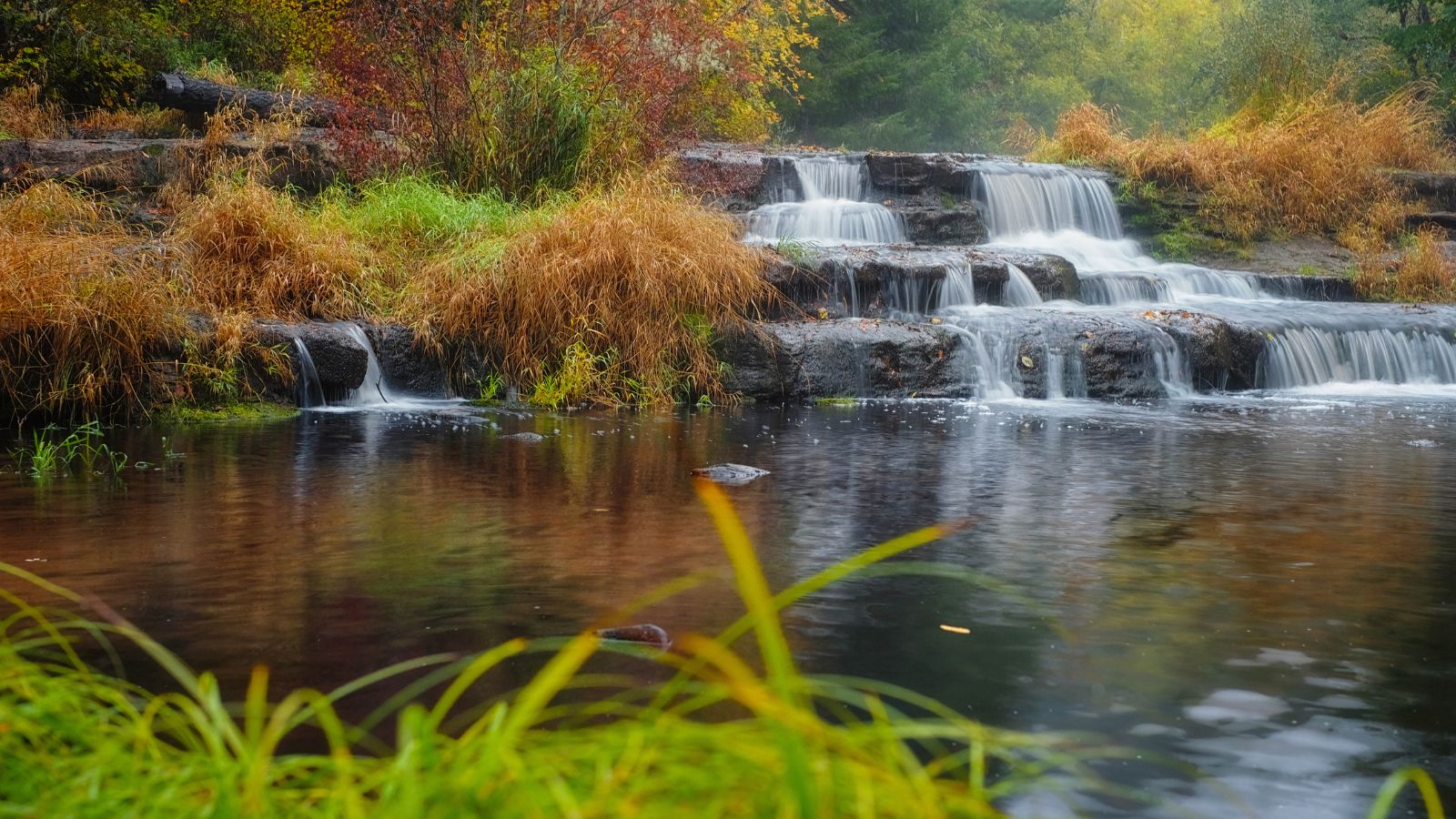
The Siuslaw River is a 110-mile-long river that flows to the Pacific Ocean coast of Oregon, draining an area of about 773 square miles in the Central Oregon Coast Range southwest of the Willamette Valley and north of the watershed of the Umpqua River.
It rises in the mountains of southwestern Lane County, flowing generally west-northwest through the mountains, past Swisshome, and entering the Pacific at Florence. The valley of the river has been one of the productive timber regions in Oregon, and the lower course of the river passes through Siuslaw National Forest.
The river is also part of the homeland of the Siuslaw people, after whom it is named, and citizens of the Siuslaw nation lived in villages along the river until 1860 when they were forcibly removed to an Indian reservation in Yachats.
Coquille River

The Coquille River is a 36-mile-long stream in southwestern Oregon that drains a mountainous area of 1,059 square miles of the Southern Oregon Coast Range into the Pacific Ocean. Its watershed is situated between that of the Coos River to the north and the Rogue River to the south. The river is known for its scenic beauty and recreational opportunities, including fishing, boating, and wildlife watching.
Lakes
Upper Klamath Lake
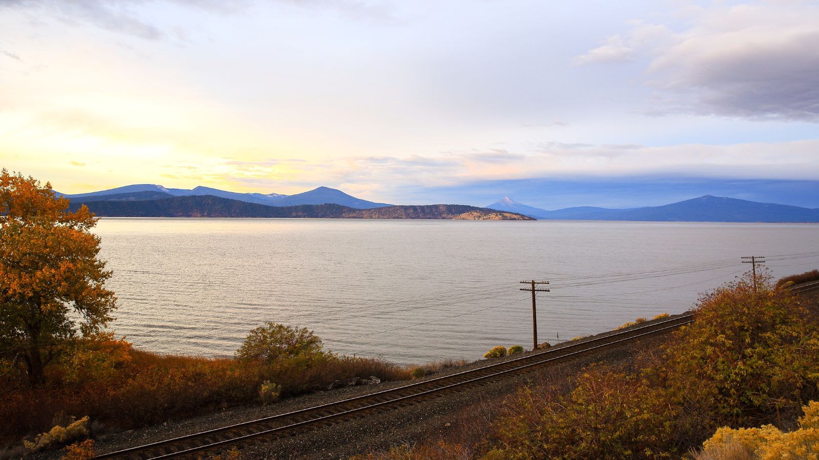
Upper Klamath Lake, the largest body of freshwater by surface area in Oregon, is a large, shallow freshwater lake east of the Cascade Range in south-central Oregon, approximately 25 miles long and 8 miles wide, and extends northwest from the city of Klamath Falls.
The lake is fed by a watershed of 3,768 square miles, including the Williamson and Wood Rivers, and is drained by the Klamath River, which issues from the south end of the lake. In the early 20th century, most of the wetlands and marshes surrounding the lake were drained for agricultural purposes, damaging the larger habitat, and the lake’s water has been used to support the federal Klamath Project for irrigation by local farmers for a century.
Goose Lake
Goose Lake is a large alkaline lake on the Oregon-California border that formed from precipitation and melting glaciers during the Pleistocene epoch, making it a pluvial lake like many other lakes in the Great Basin.
The north portion of the lake is in Lake County, Oregon, and the south portion is in Modoc County, California, with the mountains at the north end of the lake being part of the Fremont National Forest and the south end of the lake being adjacent to Modoc National Forest lands.
The lake’s watershed is normally endorheic, but sometimes flows into the Pit River, part of the Sacramento River watershed, during periods of high water following heavy rainfall or snowmelt.
Summer Lake
Summer Lake is a large, shallow, alkali lake in Lake County, Oregon, located 5 miles south of the small, unincorporated community of Summer Lake. At high water, it is about 15 miles long and 5 miles wide, and supports a wide variety of birds and other wildlife in its marshes. The lake was named by explorer John C. Fremont on his expedition into Central Oregon in 1843, and it remains a popular spot for birdwatching and outdoor recreation.
Lake Abert
Lake Abert, also known as Abert Lake, is a large, shallow, alkali lake in Lake County, Oregon, approximately 15 miles long and 7 miles wide at its widest point, located 3 miles northeast of the small, unincorporated community of Valley Falls.
The lake was named in honor of Colonel John James Abert by explorer John C. Fremont during his 1843 expedition into Central Oregon, and it is an important stop on the bird migration route known as the Pacific Flyway. No fish live in the alkaline waters of the lake; however, its dense population of brine shrimp supports a variety of shorebirds.
Harney Lake
Harney Lake is a shallow alkali lake basin located in southeast Oregon, approximately 30 miles south of the city of Burns, within the boundary of the Malheur National Wildlife Refuge, and is the lowest point in the Blitzen Valley drainage.
The lake has a history of 9,000 years of human inhabitation by the Northern Paiute Indians primarily as nomadic wintering camps, but little sign of modern human habitation is evident on Harney Lake, despite being known by several names, including Salt Lake in 1838, Tonowama, and Lake Harney. The nearest residents live in the community of Narrows.
Malheur Lake
Malheur Lake, located in the Malheur National Wildlife Refuge in Harney County, Oregon, is a marsh-fed lake that periodically overflows into Mud Lake to the west and thence to Harney Lake, the sink of Harney Basin.
The lake’s surface area changes dramatically with the local weather, climate, and season because the lake is in a very flat basin, and the generally shallow water is a suitable habitat for migratory birds, waterfowl, and aquatic plants.
Large snowpacks in the mid-1980s caused the lake to expand from approximately 67 to 160 square miles within three years, while drought in the early 1990s reduced the lake size to just 200 acres, exposing large mudflats and dusty playas.
Crater Lake
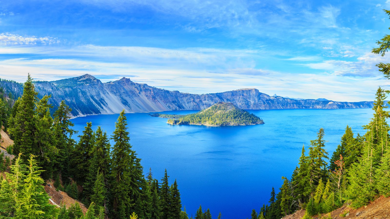
Crater Lake, located in south-central Oregon in the Western United States, is a volcanic crater lake that is the main feature of Crater Lake National Park and is famous for its deep blue color and water clarity.
The lake partly fills a 2,148-foot-deep caldera that was formed around 7,700 years ago by the collapse of the volcano Mount Mazama and is the deepest lake in the United States. It ranks ninth for maximum depth in the world, as well as third for mean depth.
The lake and surrounding park areas offer many recreational activities, including hiking, biking, snowshoeing, fishing, and cross-country skiing, and during the summer, campgrounds and lodges at Crater Lake are open to visitors.
Warner Lakes
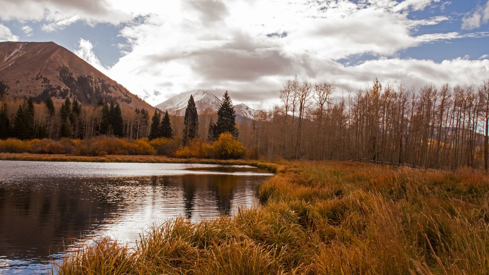
The Warner Lakes, located in the Warner Valley of eastern Lake County, Oregon, are a chain of shallow lakes and marshes that extend the length of the valley, covering approximately 90,000 acres.
The lakes are named in honor of Captain William H. Warner, a topographical engineer who explored Warner Valley before being killed by Native Americans in 1849, and they support a wide variety of birds and other wildlife. Much of the land surrounding the lakes is owned by the public and is administered by the Bureau of Land Management, providing recreational opportunities including hunting, fishing, bird watching, and camping.
Lake Owyhee

Lake Owyhee, also known as Owyhee Reservoir, is a 13,900-acre artificial lake on the Owyhee River in Malheur County, Oregon, and is Oregon’s longest at 52 miles.
The lake is home to several species of fish, including crappie, rainbow trout, largemouth bass, smallmouth bass, yellow perch, and brown bullhead, and it supplies water for irrigation for 1,800 farms covering 118,000 acres of land in Eastern Oregon and Southwestern Idaho. Seasonal Lake Owyhee State Park is located on the northeast shore and includes a boat ramp, providing recreational opportunities for visitors.
Lake Billy Chinook

Lake Billy Chinook, a reservoir in Jefferson County, Oregon, was created by the Round Butte Dam in 1964 and lies in a canyon at the confluence of the Crooked, Deschutes, and Metolius rivers near Culver and Madras.
The lake was named for Billy Chinook, a Native American of the Wasco tribe who traveled alongside American explorers John C. Frémont and Kit Carson in their expeditions of 1843 and 1844, and it offers recreational activities such as boating, fishing, swimming, and camping. The lake is also home to a variety of wildlife, including bald eagles, ospreys, and mule deer.
Fern Ridge Lake

Fern Ridge Reservoir, also known as Fern Ridge Lake, is a U.S. Army Corps of Engineers flood control project on the Long Tom River in Oregon, approximately 12 miles west of Eugene on Oregon Route 126.
The reservoir covers more than 12,000 acres and is a popular site for boating, fishing, and birdwatching. The Fern Ridge Wildlife Area, a wildlife management area surrounding portions of the reservoir, provides a unique habitat for a variety of species, including wintering waterfowl populations.

