
Champoeg State Heritage Area
Oregon (Willamette Valley County)
I can’t run web searches right now — let me write the description using what I know about Champoeg from my training data.
Champoeg State Heritage Area
Tucked along the south bank of the Willamette River about 30 miles south of Portland, Champoeg State Heritage Area is where Oregon’s story began. On this quiet stretch of farmland in 1843, American settlers cast the famous vote to form a provisional government — the first organized government by Americans on the Pacific coast. That history alone makes Champoeg worth the drive, but the park delivers far more than a history lesson.
The heritage area spans roughly 615 acres of riverside meadows, oak woodlands, and wetlands. A paved trail loops through the grounds, ideal for cycling, jogging, or a leisurely walk beneath towering Oregon white oaks. The Willamette River frontage offers fishing for steelhead and salmon in season, and birders will find great blue herons, osprey, and woodpeckers throughout the riparian corridors.
Camping is available with a mix of tent sites, RV hookups, yurts, and a group camp area — all reservable through Oregon State Parks. The campground sits in a shaded grove and fills quickly on summer weekends, so book ahead.
History buffs should explore the Newell House museum, the Pioneer Mothers cabin, and the visitor center, which traces the region’s story from Kalapuya habitation through the fur trade era to pioneer settlement. An interpretive pavilion marks the exact site of the 1843 vote.
The best time to visit is May through October, when the valley is warm and dry and the wildflower meadows peak. Spring offers fewer crowds and stunning green landscapes along the river.
~248 words. Let me know if you’d like any adjustments to tone, length, or focus.
Explore Nearby
- Molalla Recreation Area — Public Land in Oregon
- Willamette River Light — Lighthouse in Oregon
- Nestucca River Recreation Area — Public Land in Oregon
- Warrior Rock Light — Lighthouse in Oregon
- Historic Columbia River Highway — Scenic Byway in Oregon
Photos

Nearby Discoveries
12 places to explore within 30 miles
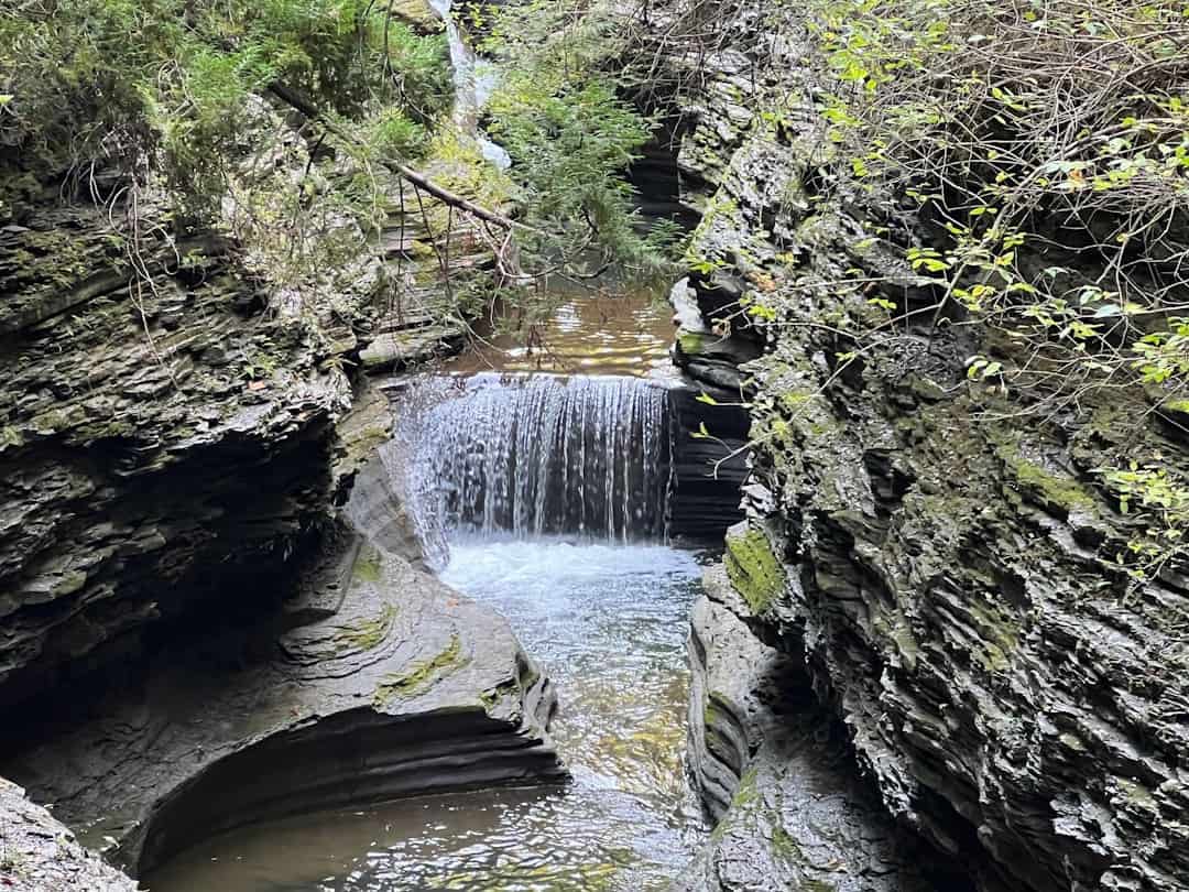
Molalla River State Park
10.1 miles away
McKee Covered Bridge
11.1 miles away
Bald Peak State Scenic Viewpoint
12.8 miles away
Willamette Mission State Park
13.4 miles away
Gallon House Covered Bridge
15.6 miles away
Gallon House Covered Bridge
15.6 miles away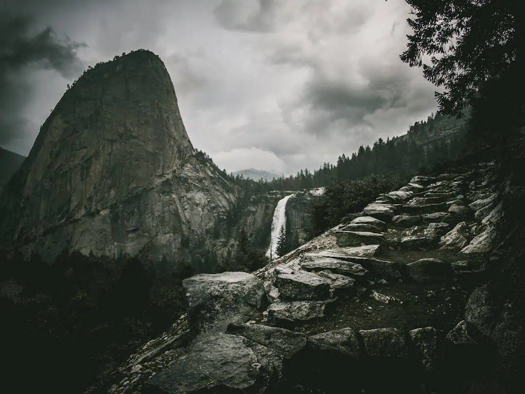
Mary S. Young State Recreation Area
15.8 miles away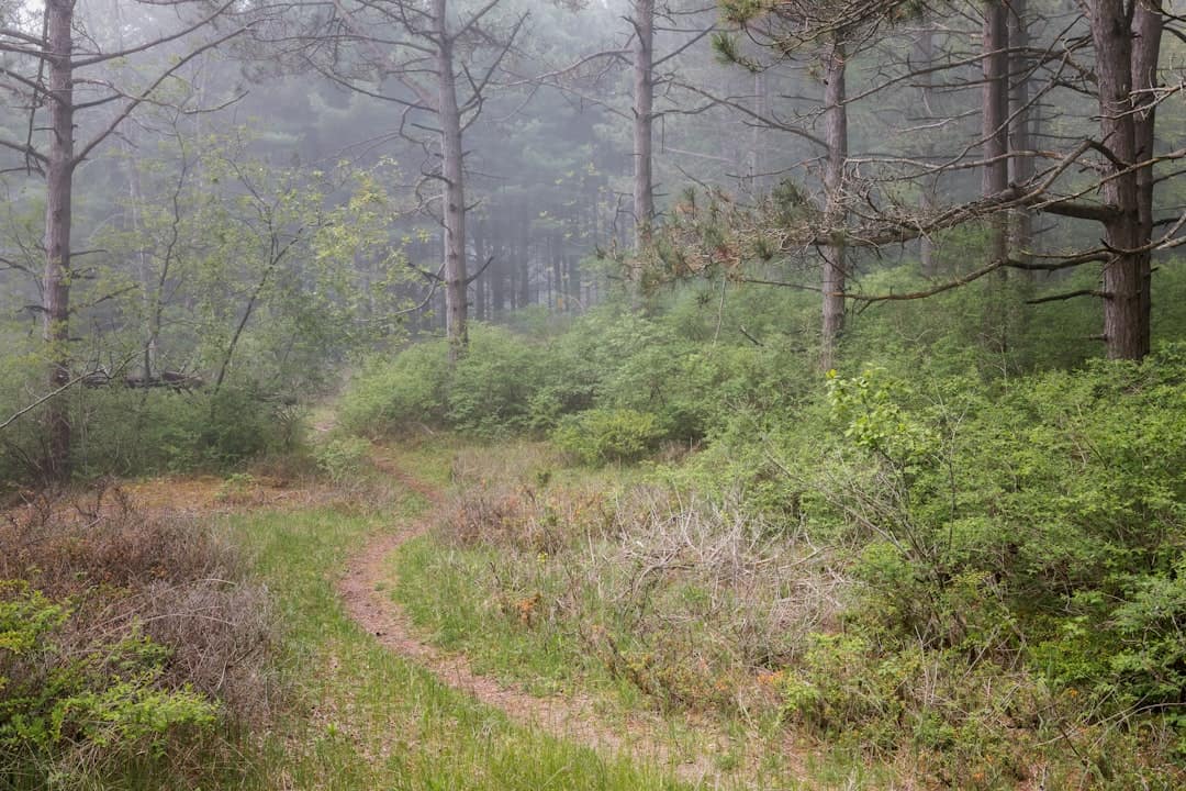
Tryon Creek State Natural Area
16.8 miles away
Molalla Recreation Area
16.9 miles away
Cedar Crossing Covered Bridge
18 miles away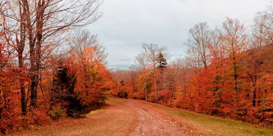
Willamette Stone State Heritage Site
20.2 miles away
