Amid the rolling hills and coastal horizons of the Tar Heel State, a unique narrative comes alive – a story that unfolds not just in its historic landmarks but in the intricate flow of its rivers and the tranquil expanse of its lakes. North Carolina, celebrated for its southern charm and diverse landscapes, cradles within its embrace a treasure hidden in plain sight – a network of waterways that mirrors its legacy of resilience and adaptation.
Like whispered tales in a Carolina breeze, the state’s rivers and lakes carry stories of exploration, trade, and the vibrant interplay between land and water. In this article, we embark on a journey that navigates the courses of North Carolina’s rivers and immerses in the mirrored reflections of its lakes.
Join us as we unveil the significance of these aqueous chapters, uncovering their role in shaping the state’s identity, culture, and livelihoods, and revealing how the currents of water have woven into the very fabric of the Tar Heel State’s compelling narrative.
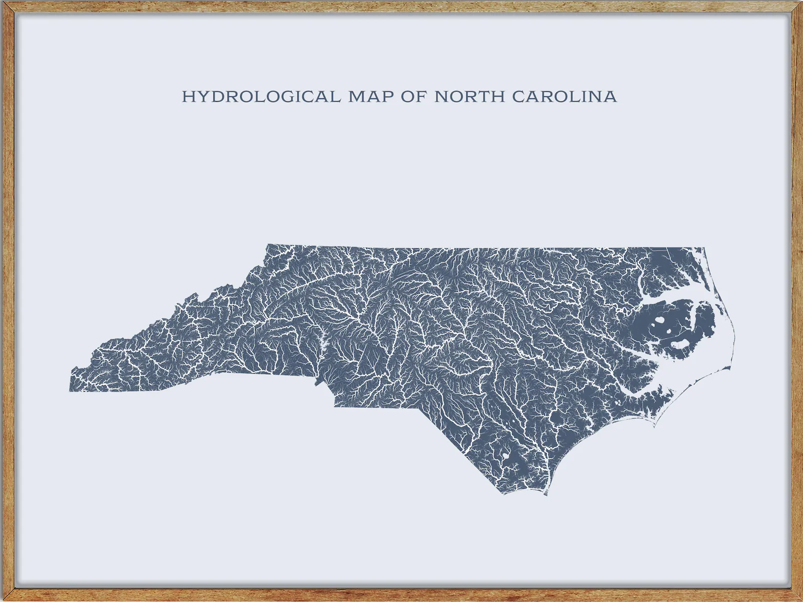
Printable North Carolina Lakes and Rivers Map
Rivers
Tar River

The Tar River is a river that flows approximately 215 miles in northeast North Carolina, becoming the tidal Pamlico River once it underpasses the U.S. Highway 17 Bridge in Washington, North Carolina, and was used historically as a major route for tar-laden barges as they headed to the sea, giving the river its name.
The city of Tarboro is situated on the banks of the river, and the river was also used for navigation for farm products and naval stores shipping, as well as passenger boats traveling between Tarboro, through Greenville to Washington. The towns and cities along its course include Louisburg, Rocky Mount, Tarboro, and Greenville, while the village of Old Sparta was formerly an important riverport on the Tar, but declined in the 20th century.
Pee Dee River

The Pee Dee River, also known as the Great Pee Dee River, originates in the Appalachian Mountains in North Carolina, where its upper course, above the mouth of the Uwharrie River, is known as the Yadkin River, and empties into Winyah Bay, and then into the Atlantic Ocean near Georgetown.
The river is an important source of electric power and public water supplies, as well as recreational use, and is excellent for recreational fishing and boating, with herons and alligators along the way, and a lucky sighting of a bald eagle is possible. The northeastern counties of South Carolina compose the Pee Dee region of the state, and the exposed rock formations along its course are the source of a NIST reference standard.
Roanoke River
The Roanoke River runs 410 miles long through southern Virginia and northeastern North Carolina in the United States, draining a largely rural area of the coastal plain from the eastern edge of the Appalachian Mountains southeast across the Piedmont to Albemarle Sound.
An important river throughout the history of the United States, it was the site of early settlement in the Virginia Colony and the Carolina Colony and an 81-mile section of its lower course in Virginia between the Leesville Lake and Kerr Lake is known as the Staunton River. The Roanoke River State Trail is a paddle trail that follows the lower portion of the river, from Roanoke Rapids to the Albemarle Sound.
Neuse River
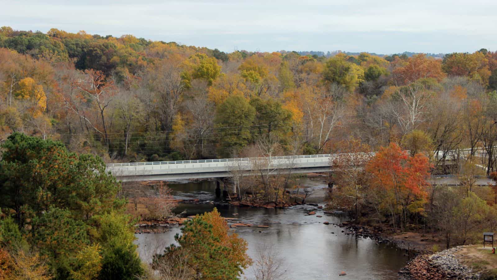
The Neuse River is the longest river entirely contained in North Carolina, rising in the Piedmont of North Carolina and emptying into Pamlico Sound below New Bern, with a total length of approximately 275 miles.
Its drainage basin, measuring 5,630 square miles in area, also lies entirely inside North Carolina, and the Trent River joins the Neuse at New Bern. The Neuse begins at the confluence of the Flat and Eno rivers near Durham, North Carolina, and flows through parts of seven counties, with major cities and towns in proximity to the Neuse being Durham, Raleigh, Smithfield, Goldsboro, Kinston, and New Bern.
Yadkin River
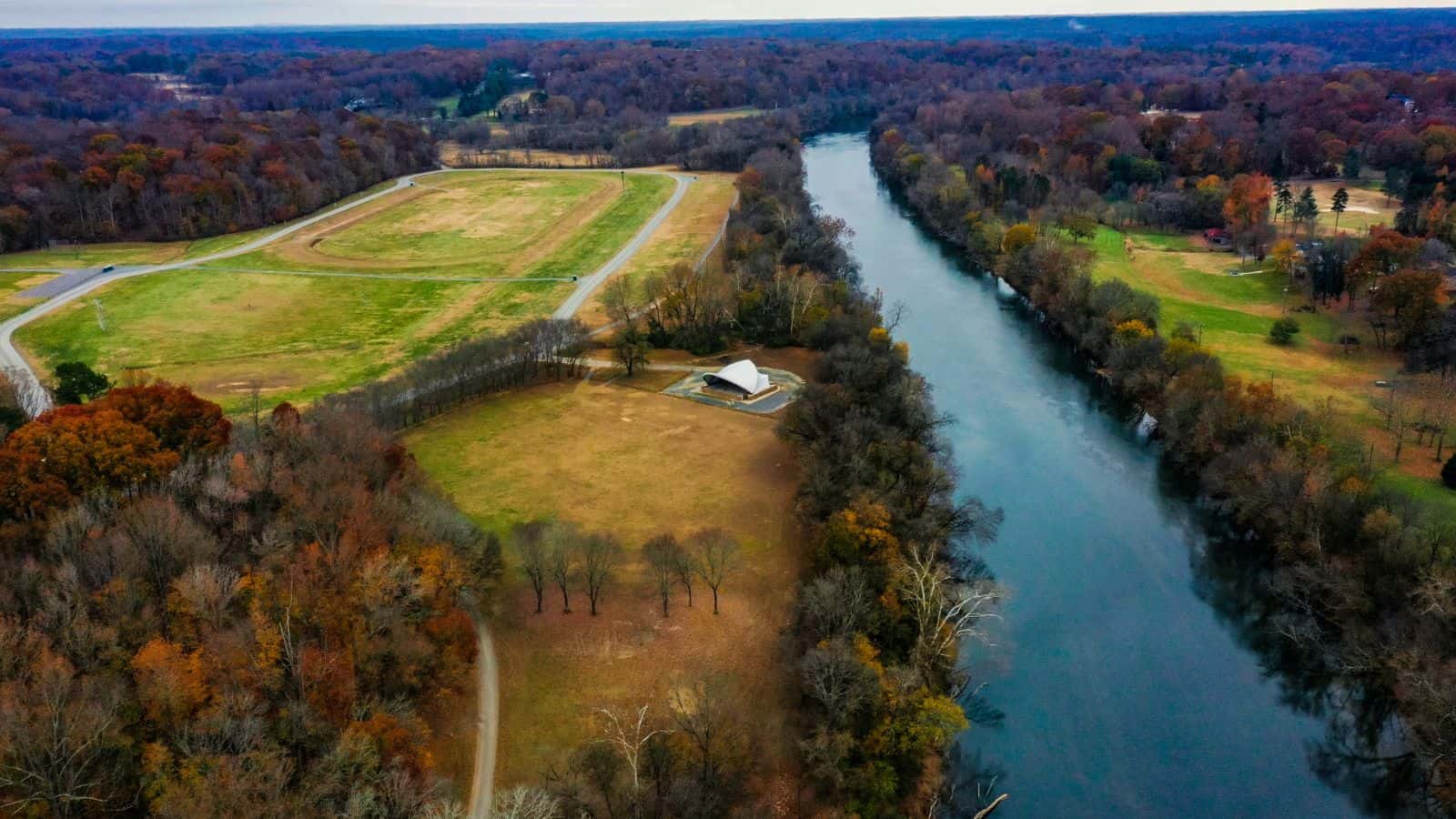
The Yadkin River is one of the longest rivers in North Carolina, flowing 215 miles and rising in the northwestern portion of the state near the Blue Ridge Parkway’s Thunder Hill Overlook.
Several parts of the river are impounded by dams for water, power, and flood control, and it becomes the Pee Dee River at the confluence of the Uwharrie River south of the community of Badin and east of the town of Albemarle. The river then flows into South Carolina near Cheraw, which is at the Fall Line, and the entirety of the Yadkin River and the Great Pee Dee River is part of the Yadkin-Pee Dee River Basin.
French Broad River
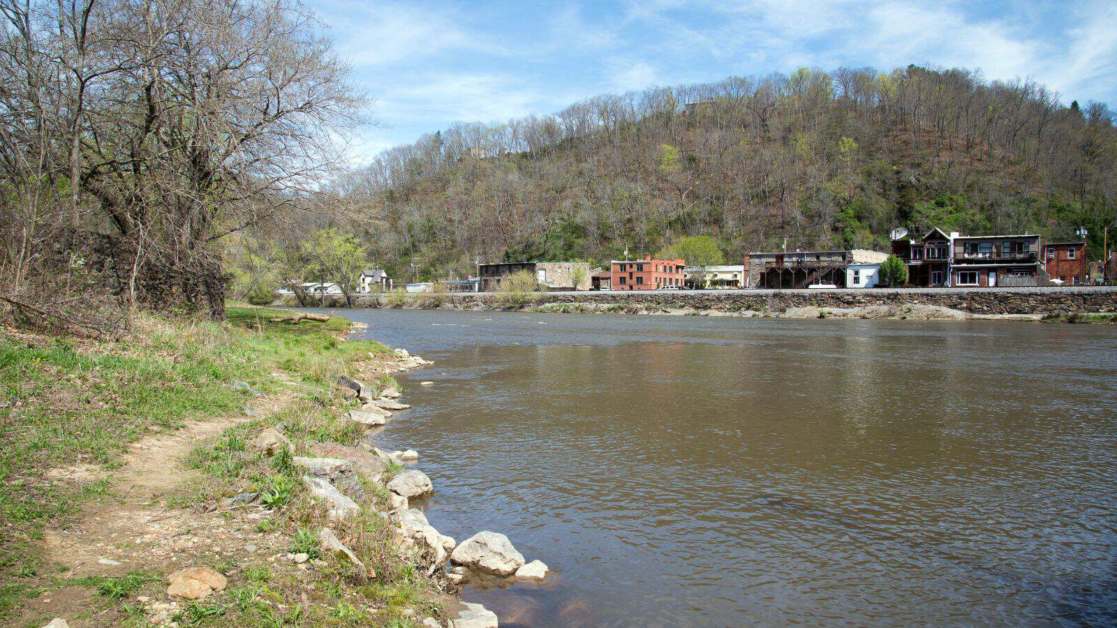
The French Broad River flows 218 miles from near the town of Rosman in Transylvania County, North Carolina, into Tennessee, where its confluence with the Holston River at Knoxville forms the beginning of the Tennessee River.
The river flows through the counties of Transylvania, Buncombe, Henderson, and Madison in North Carolina, and Cocke, Jefferson, Sevier, and Knox in Tennessee, and drains large portions of the Pisgah National Forest and the Cherokee National Forest.
Lumber River

The Lumber River, also known as the Lumbee River, is a 133-mile-long river in south-central North Carolina in the flat Coastal Plain. European settlers first called the river Drowning Creek, which is still used as the name of its headwater, and it extends downstream from the Scotland County-Hoke County border to the North Carolina-South Carolina border.
The Lumber River flows into the Little Pee Dee River in South Carolina, which flows into the Pee Dee River and finally into Winyah Bay and the Atlantic Ocean. It was designated as a “Natural and Scenic River” by the North Carolina General Assembly in 1989, and it is the only blackwater river in North Carolina to be designated as a National Wild and Scenic River by the Department of the Interior.
Broad River

The Broad River is a principal tributary of the Congaree River, about 150 miles long, in western North Carolina and northern South Carolina. It originates in the Blue Ridge Mountains of eastern Buncombe County, North Carolina, and flows generally south-southeastwardly, through or along the boundaries of Rutherford, Polk, and Cleveland Counties in North Carolina, and Cherokee, York, Union, Chester, Fairfield, Newberry, and Richland Counties in South Carolina.
The river is dammed to form Lake Lure in North Carolina and passes through the Sumter National Forest and the communities of Cherokee Falls and Lockhart before joining the Saluda River to form the Congaree River in the city of Columbia. Its principal tributaries include the Green, Second Broad, and First Broad Rivers in North Carolina, and the Bowens, Pacolet, Sandy, Tyger, Enoree, and Little Rivers in South Carolina.
Rocky River
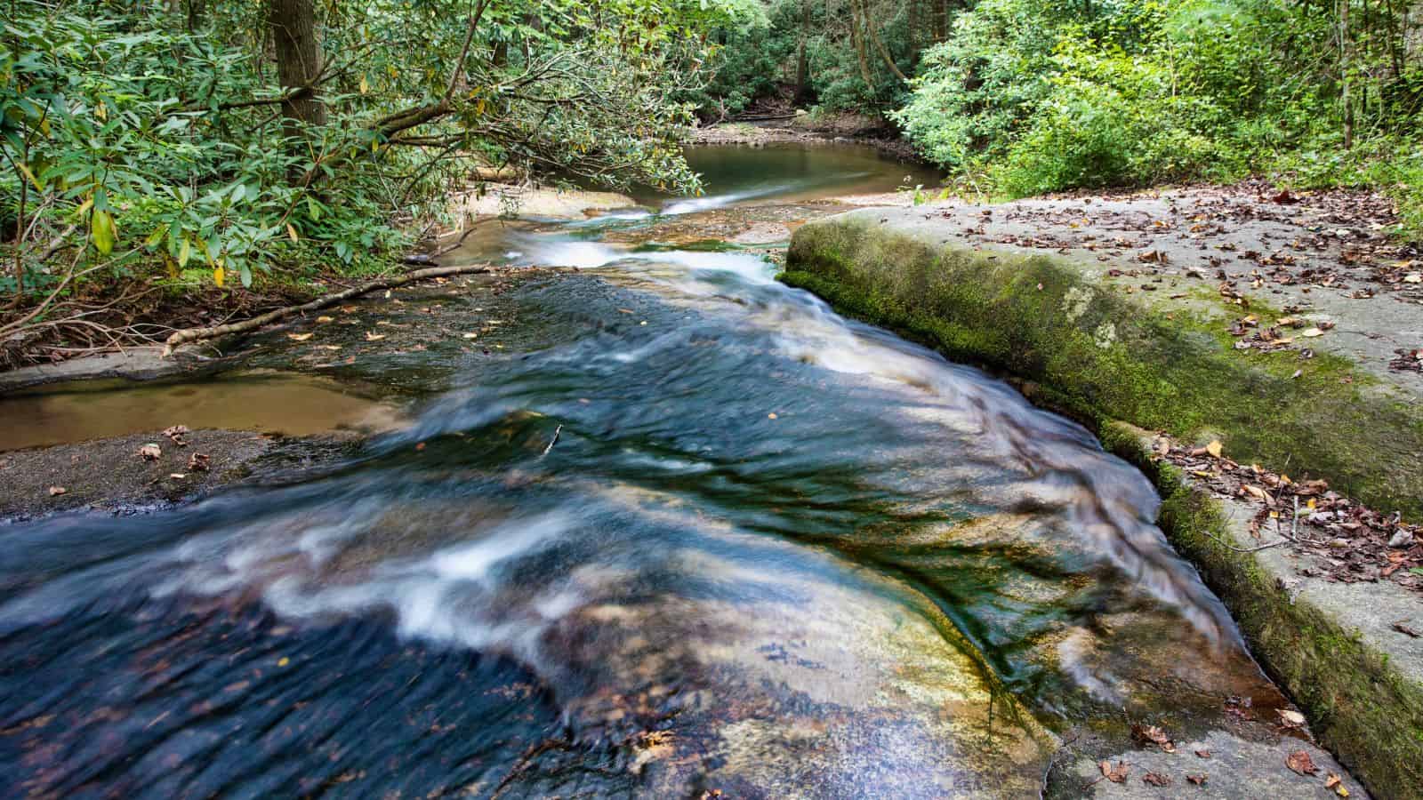
The Rocky River is a 95-mile-long river in the Piedmont region of North Carolina, beginning in Iredell County near Mooresville and flowing south into Cabarrus County, where it is the principal waterway in the county. It continues southeastward to form the line between Stanly, Union, and Anson counties and empties into the Pee Dee River just below Norwood, North Carolina, at the foot of the Uwharrie Mountains.
Efforts are being made to boost tourism and canoe and kayak recreation along Rocky River “Blueway” as part of the Carolina Thread Trail, and private, non-profit organizations have developed park lands for improved river access, but some controversy ensued.
Deep River
Deep River is a tributary of the Cape Fear River, approximately 125 miles long, in north-central North Carolina. The river rises in the Piedmont country in western Guilford County, east of Kernersville, and flows southeast past High Point and Randleman, forming the Randleman Lake.
Paddling is popular on the river, and it is flanked by the planned Deep River State Trail and several other parks and preservation areas including Carbonton Dam Park, House in the Horseshoe Historic Site, Deep River Park, and Deep River Camelback Truss Bridge, Endor Iron Furnace, White Pines Nature Preserve, Lockville Dam, Canal and Powerhouse, and Mermaid Point.
The Cape Fear shiner, a critically endangered minnow, inhabits the river, and it joins Haw River at Mermaid Point near Moncure to form the Cape Fear River.
Dan River
The Dan River flows 214 miles in the U.S. states of North Carolina and Virginia, rising in Patrick County, Virginia, and crossing the state border into Stokes County, North Carolina. It then flows into Rockingham County and back into Virginia through Pittsylvania County before reentering North Carolina near the border between Caswell County and Rockingham County.
In 2014, a large amount of coal ash spilled into the river, prompting a cleanup process costing an estimated $300 million. The river is also the name of the southeastern political district of Pittsylvania County, where a small section of the river serves as the boundary between Pittsylvania County and the city of Danville. The North Carolina General Assembly passed a law in 2021 adding the river’s paddle trail in Stokes and Rockingham Counties as its eleventh State Trail.
Haw River
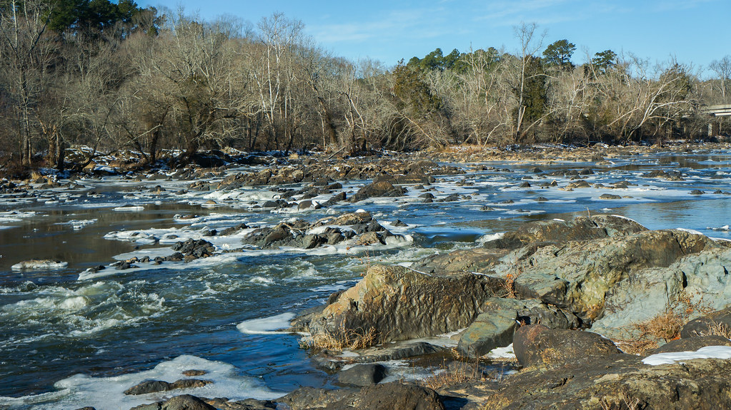
The Haw River is a tributary of the Cape Fear River, approximately 110 miles long, that is entirely contained in north-central North Carolina. The river rises in the Piedmont country, in northeast Forsyth County, near the border with Guilford County just north of Kernersville, and flows northeast, passing north of Oak Ridge and Summerfield into southern Rockingham County, passing through Haw River State Park, north of Greensboro.
The river then begins to flow southeast as it moves through the corner of Guilford County into Alamance County, and it flows through the town of Haw River, forming the southeast border of Alamance County, a border shared by Orange County and Chatham County. The Haw River joins the Deep River to form the Cape Fear River approximately 4 miles south of the Jordan Lake dam.
South River
The South River is a tributary of the Black River, approximately 78.47 miles long, in southeastern North Carolina. It rises 2 miles northeast of Falcon, at the border of Sampson and Cumberland counties at the confluence of Mingo Swamp and the smaller Black River, which flows 30 miles from northeastern Harnett County, in Angier and approximately 25 miles south of Raleigh.
The South River forms much of the western border of Sampson County, as well as the eastern borders of Bladen County and Cumberland County, and turns south-southeast to join the larger Black River near Ivanhoe, approximately 30 miles northwest of Wilmington.
Black River
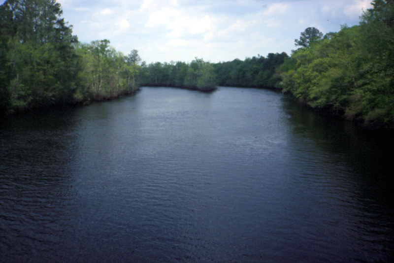
The Black River is a tributary of the Cape Fear River, approximately 50 miles long, in southeastern North Carolina. It is formed in southern Sampson County, approximately 15 miles south of Clinton, by the confluence of two creeks: Great Coharie Creek and Six Runs Creek.
The river flows southeast through Pender County, past the Moores Creek National Battlefield, and joins the Cape Fear approximately 10 miles northwest of Wilmington, near the broadening of the Cape Fear into a tidal estuary. The river is known for having a wide variety of fish species, ranging from several types of sunfish and catfish, as well as largemouth bass, and ancient Bald cypress trees in excess of 2,600 years old were discovered along the river in 2019.
Lakes
Lake Norman
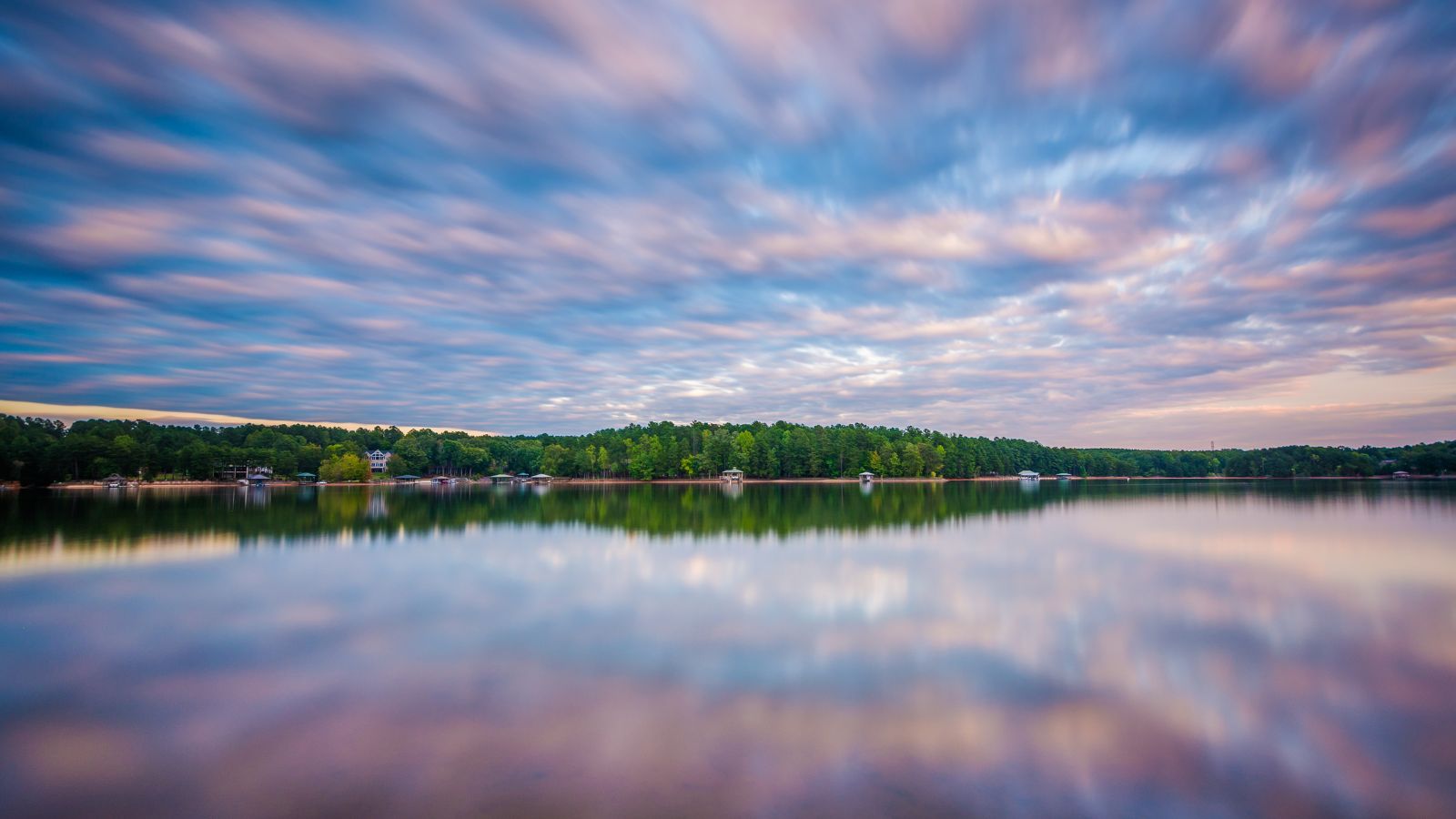
Lake Norman is the largest man-made body of fresh water in North Carolina, created between 1959 and 1964 as part of the construction of the Cowans Ford Dam by Duke Energy. It is located in Iredell County, 40 miles north of Charlotte, and is fed by the Catawba River, draining into Mountain Island Lake to the south.
With 520 miles of shoreline and a surface area of over 50 square miles, Lake Norman is sometimes referred to as the “inland sea” of North Carolina, and Lake Norman State Park boasts the region’s popular mountain biking trail system.
Fontana Lake
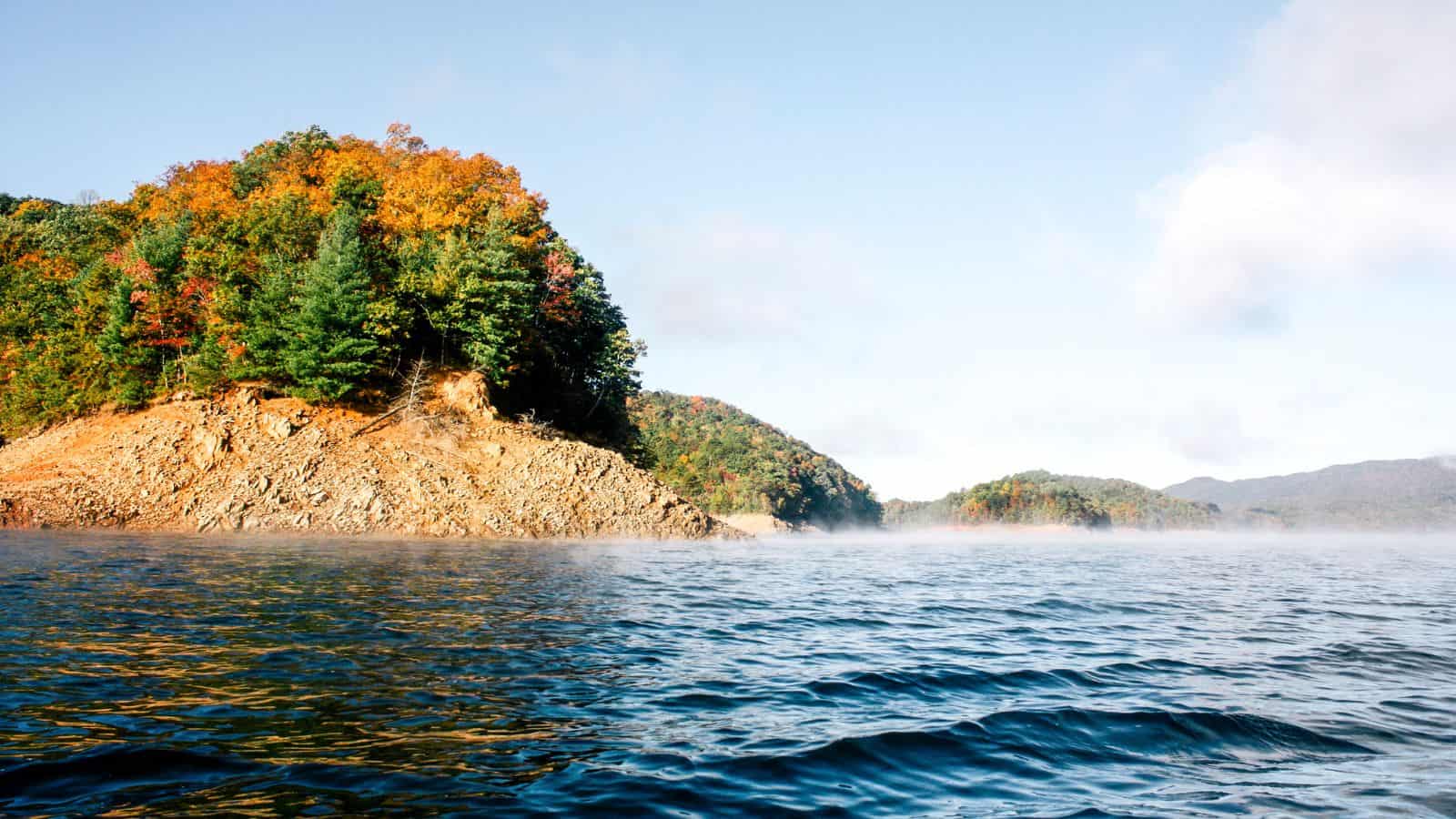
Fontana Lake is a reservoir impounded by Fontana Dam on the Little Tennessee River, located in Graham and Swain counties in North Carolina. The lake forms part of the southern border of Great Smoky Mountains National Park and the northern border of part of the Nantahala National Forest.
It is about 17 miles long, has an average depth of 135 feet, and reaches a maximum depth of 440 feet, making it the deepest lake in North Carolina. Fontana Lake provides the only access into the most remote areas of the National Park, and when the lake is at the normal summer level, a boat may be used to access remote trailheads such as Hazel Creek.
High Rock Lake
High Rock Lake is a reservoir located on the Yadkin River in central North Carolina in the counties of Davidson and Rowan. Built in 1926-27 by the Tallassee Power Company, a wholly-owned subsidiary of the Aluminum Company of America (Alcoa), the lake is the northernmost of a series of four hydroelectric projects designed to support the company’s Badin Works, a large aluminum smelting operation located 16 miles downstream in the community of Badin.
High Rock Lake is the largest reservoir in North Carolina and one of the largest in the United States, covering 15,180 acres with 360 miles of shoreline and being 59 feet deep at the dam when full. The dam was built in a small gorge formed where the river cuts through a major ridge of the Uwharrie Mountains, and High Rock Mountain, the highest point in the Uwharries, towers over the adjoining dam site creating one of the most extensive views found in the North Carolina piedmont.
B Everett Jordan Lake
B. Everett Jordan Lake is a reservoir in New Hope Valley, west of Cary and south of Durham in Chatham County, North Carolina, in the United States, with the northernmost end of the lake extending into southwestern Durham County.
The reservoir covers 13,940 acres with a shoreline of 180 miles at its standard water level of 216 feet above sea level and was developed as part of a flood control project prompted by a particularly damaging tropical storm that hit the region downstream in September 1945. It is owned and operated by the United States Army Corps of Engineers, which dammed and flooded the Haw River and New Hope River between 1973 and 1983, and is part of the Jordan Lake State Recreation Area.
Lake Gaston
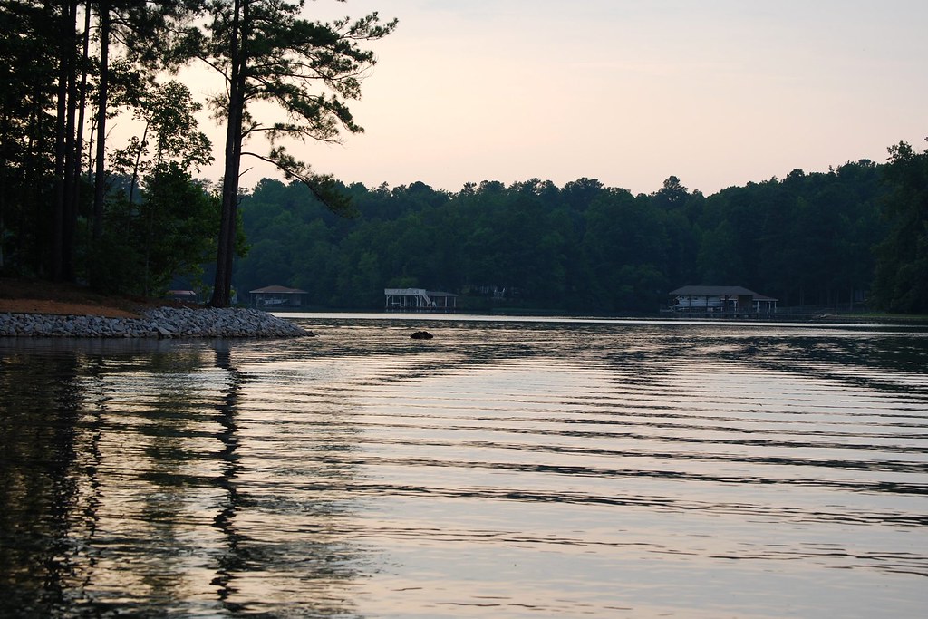
Lake Gaston is a hydroelectric reservoir in the eastern United States, with part of the lake in the North Carolina counties of Halifax, Northampton, and Warren, and the part extending into Virginia lying in Brunswick and Mecklenburg counties. The lake is roughly 35 miles long and covers over 20,000 acres, with 350 miles of shoreline, and is home to more than 150,000 residents in the surrounding area.
Lake Gaston is famous for fishing and other water recreations, including boating, swimming, water skiing, and wakeboarding, and is a popular vacation spot due to its proximity to the Research Triangle region of North Carolina, I-85, and I-95.
Falls Lake
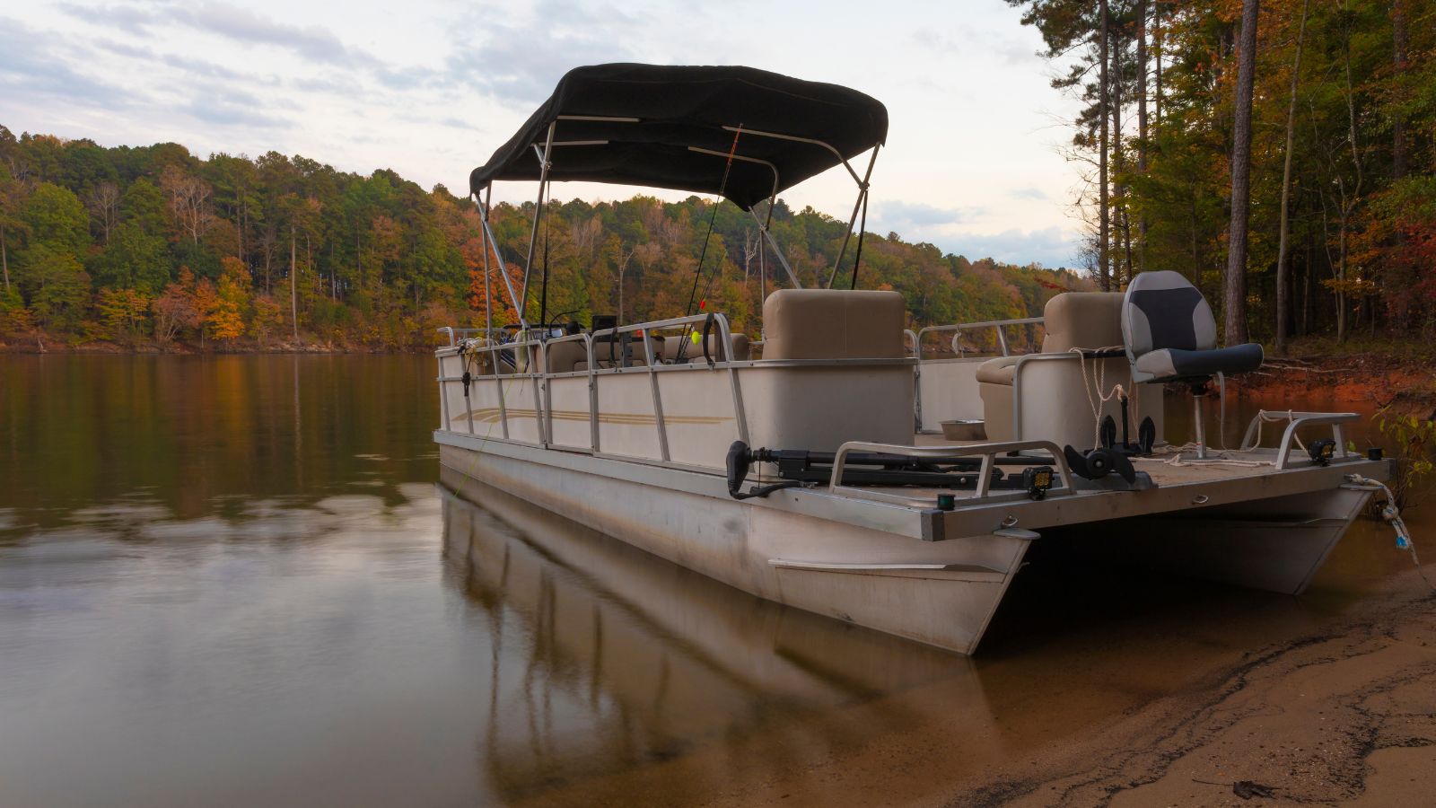
Falls Lake is a 12,410-acre reservoir located in Durham, Wake, and Granville counties in North Carolina, United States. The lake is named for the Falls of the Neuse, a once whitewater section of the river that fell from the Piedmont into the lower Coastal Plain submerged during construction of the lake.
It provides drinking water for several of the surrounding communities, including the city of Raleigh, aids with flood control, serves as a recreation area and wildlife habitat, and was constructed by the U.S. Army Corps of Engineers who also manage the dam.
Lake Mattamuskeet
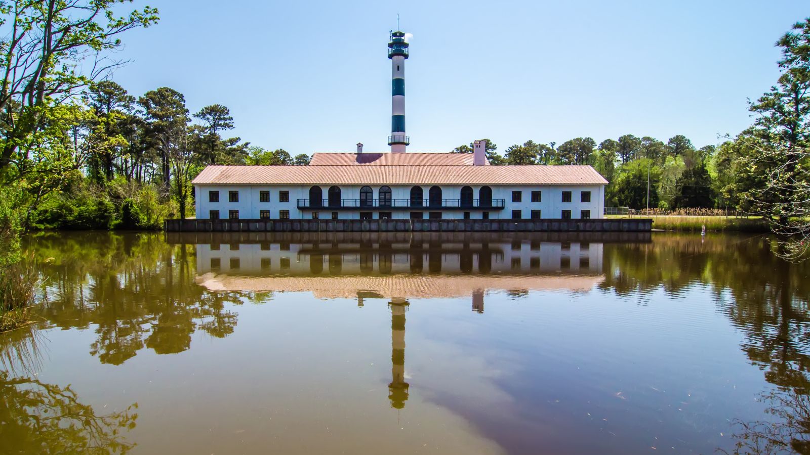
Lake Mattamuskeet is the largest natural lake in North Carolina, stretching 18 miles long and 7 miles wide, and is a shallow coastal lake with an average depth of 2-3 feet.
The lake is located on the Albemarle-Pamlico Peninsula and is the location of Mattamuskeet National Wildlife Refuge, which is a major wintering site for waterfowl including ducks like northern pintail and green-wing teal, geese like Canada geese and tundra swans, and is surrounded by public and private lands in eastern North Carolina.
Phelps Lake
Phelps Lake is North Carolina’s second-largest natural lake, primarily located in Washington County on the Albemarle-Pamlico Peninsula between the Albemarle Sound and the Pamlico Sound, with the easternmost part of the lake extending into Tyrrell County.
The lake has a surface area of 16,600 acres and is considered to be one of many features of the Atlantic Coastal Plain that are called Carolina Bays, which recent work by the U.S. Geological Survey has interpreted as relict thermokarst lakes that formed several thousands of years ago when the climate was colder, drier, and windier.
Lake James
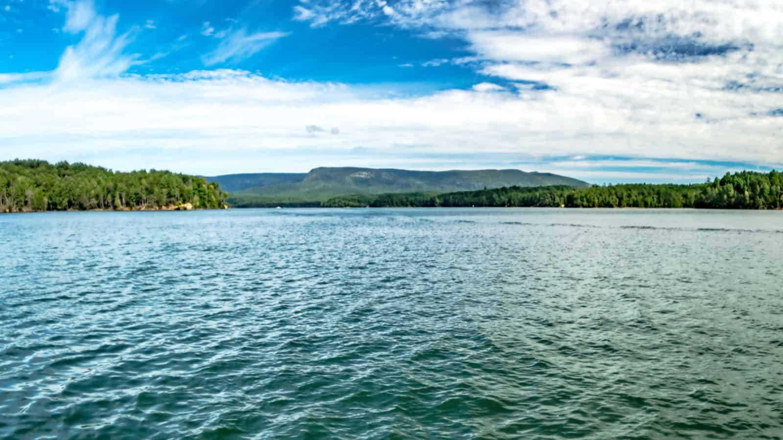
Lake James is a large reservoir in the mountains of Western North Carolina that straddles the border between Burke and McDowell Counties and was created by Duke Power between 1916 and 1923 as a hydro-electric project.
The lake, with a surface elevation of 1,200 ft, lies behind a series of 4 earthen dams and is named for tobacco tycoon and benefactor of Duke University James Buchanan Duke. Lake James still generates power today and is the uppermost lake on the Catawba River system.

