Amid the bustling cities and the serene countryside of the Buckeye State, a distinct narrative emerges – a tale not just in its historical landmarks but in the sinuous paths of its rivers and the tranquil expanses of its lakes. Ohio, celebrated for its heartland values and cultural heritage, cradles a hidden treasure within its borders – an intricate network of waterways that mirror its legacy of progress and resilience.
Like whispered conversations at a local diner, Ohio’s rivers and lakes tell stories of exploration, industry, and the enduring relationship between its people and their environment. In this article, we embark on a journey that traces the winding courses of Ohio’s rivers and immerses us in the reflective surfaces of its lakes.
Join us as we unveil the significance of these aqueous chapters, uncovering their influence on the state’s identity, culture, and livelihoods, and revealing how water has sculpted the very essence of the Buckeye State.
Printable Ohio Lakes and Rivers Map
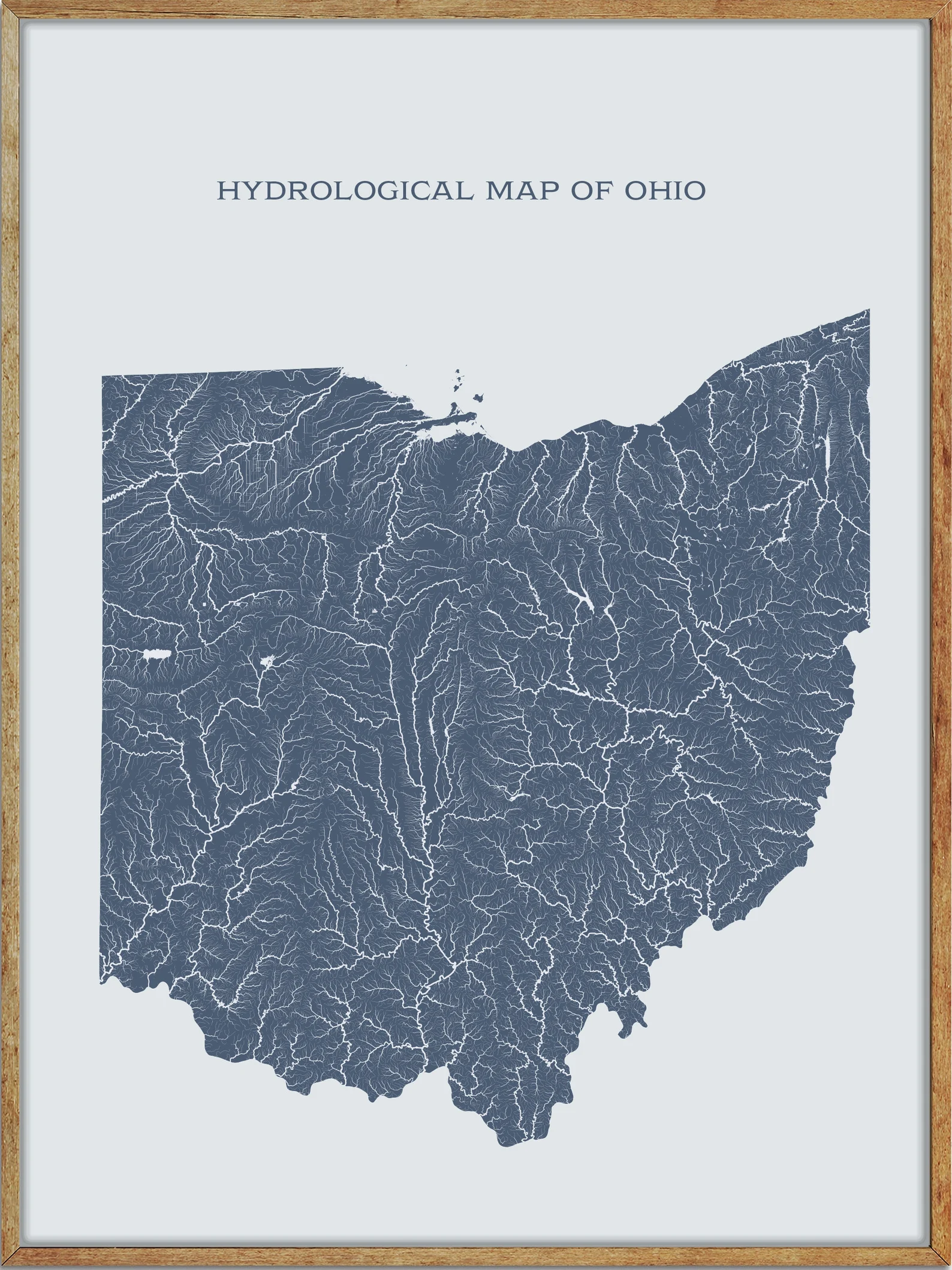
Rivers
Scioto River
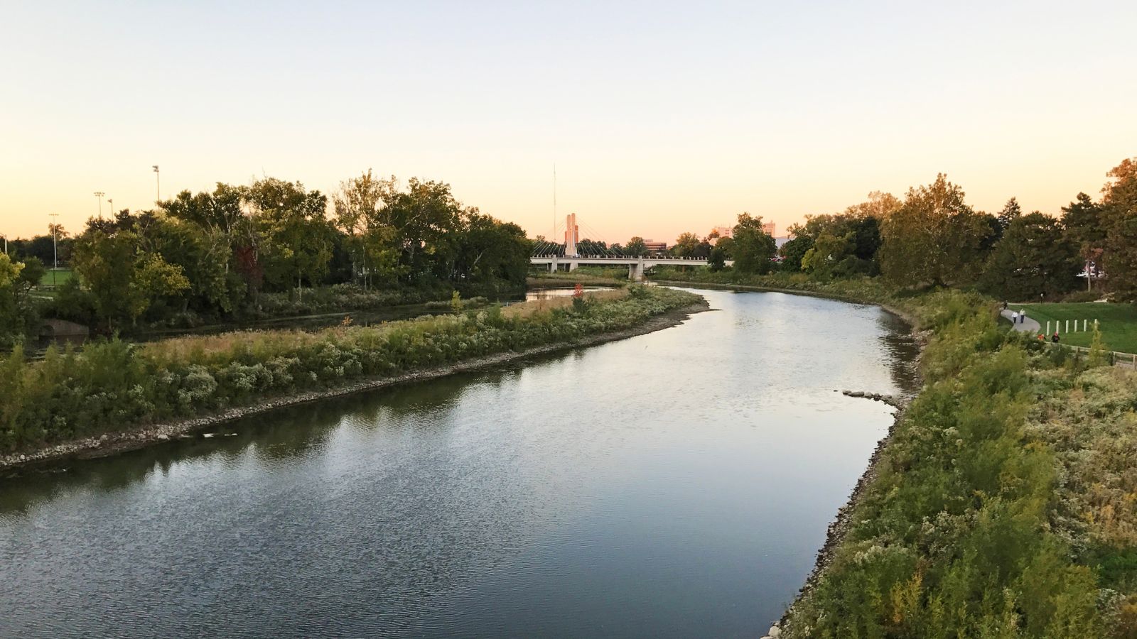
The Scioto River is the longest river that is entirely within Ohio, rising in Hardin County just north of Roundhead, Ohio, and flowing through Columbus, Ohio, where it collects its largest tributary, the Olentangy River, before flowing south into Appalachian Ohio and meeting the Ohio River at Portsmouth.
While early settlers and Native Americans used the river for shipping, it is now too small for modern commercial craft, with its primary economic importance being for recreation and drinking water. The Scioto River is represented on the Ohio state seal and coat of arms, reflecting its cultural and historical significance to the state.
Ohio River
The Ohio River is a 981-mile-long river in the United States, located at the boundary of the Midwestern and Southern United States, flowing in a southwesterly direction from western Pennsylvania to its mouth on the Mississippi River at the southern tip of Illinois.
It is the third largest river by discharge volume in the United States and the largest tributary by volume of the north-south flowing Mississippi River, with its drainage basin including parts of 14 states and serving as the source of drinking water for five million people. The river flows through or along the border of six states and is the 6th oldest river on the North American continent, with its largest tributary, the Tennessee River, including several states of the southeastern U.S.
Muskingum River

The Muskingum River is a 111-mile-long tributary of the Ohio River in southeastern Ohio, formed at Coshocton by the confluence of the Walhonding and Tuscarawas rivers. It flows southward through the eastern hill country of Ohio, past Conesville, Dresden, Zanesville, and Marietta, before joining the Ohio River.
The river was an important commercial route in the 19th century and is navigable for much of its length through a series of locks and dams, collecting various creeks and rivers along its course, including the Licking River at Zanesville.
Cuyahoga River
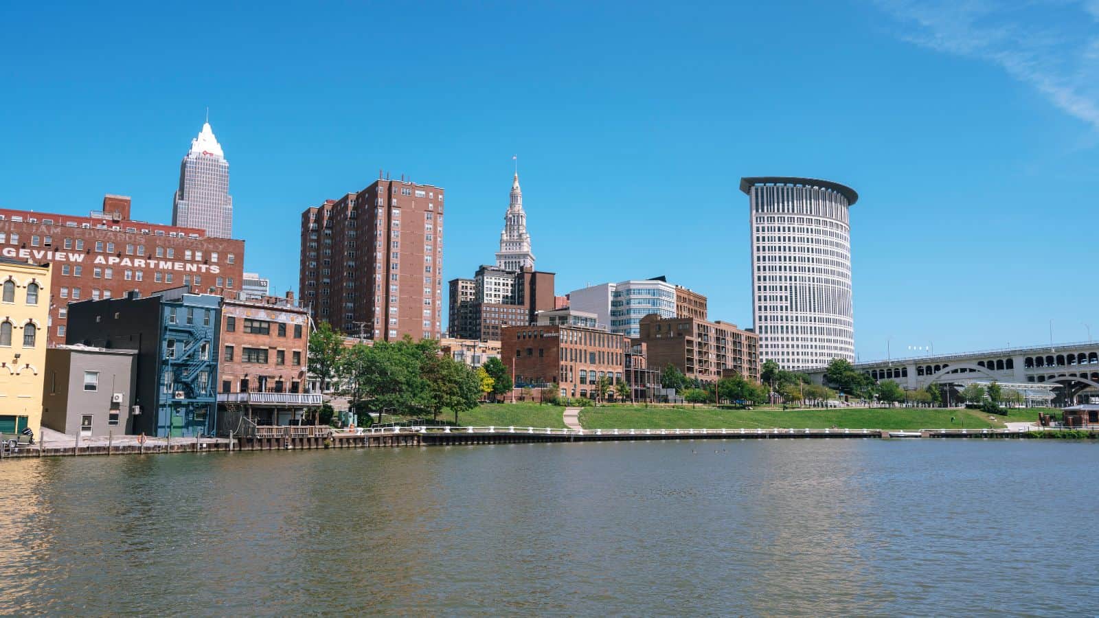
The Cuyahoga River is a river located in Northeast Ohio that bisects the City of Cleveland and feeds into Lake Erie. As Cleveland emerged as a major manufacturing center, the river became heavily affected by industrial pollution, causing it to catch fire at least 14 times, most famously on June 22, 1969, which helped to spur the American environmental movement.
Since then, the river has been extensively cleaned up through the efforts of Cleveland’s city government and the Ohio Environmental Protection Agency, with the American Rivers Conservation Association naming the Cuyahoga “River of the Year” in 2019 in honor of “50 years of environmental resurgence”.
Maumee River
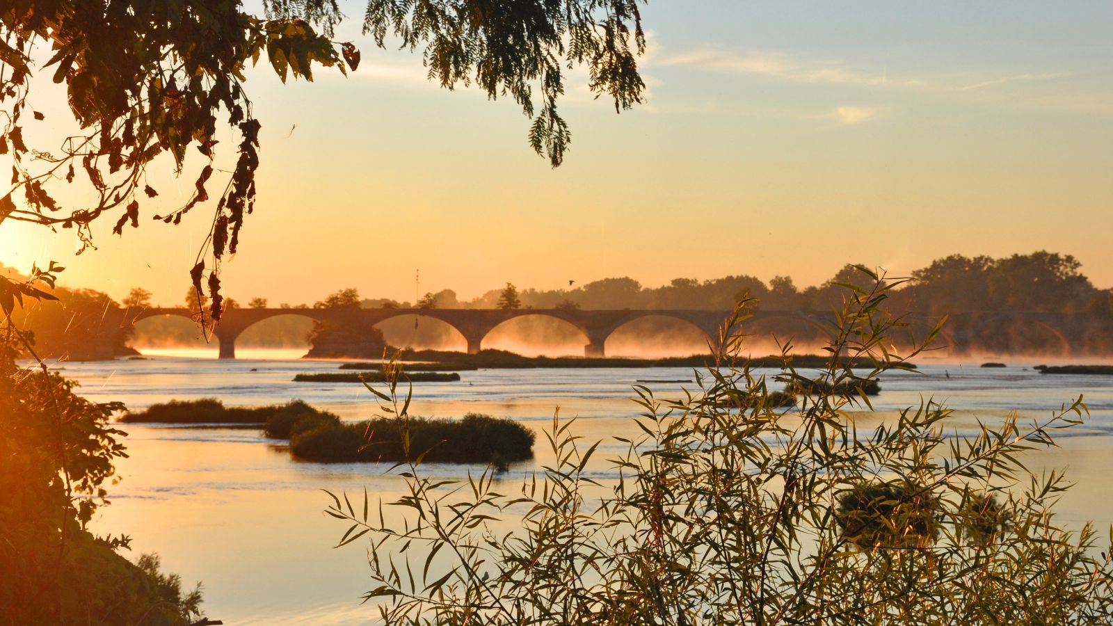
The Maumee River is a 137-mile-long river running from northeastern Indiana into northwestern Ohio and Lake Erie, formed at the confluence of the St. Joseph and St. Mary Rivers. The river meanders northeastwardly through an agricultural region of glacial moraines before flowing into the Maumee Bay of Lake Erie, with the city of Toledo located at its mouth.
The Maumee was designated an Ohio State Scenic River in 1974, and its watershed is Ohio’s breadbasket, supplying two-thirds of the farmland, mostly corn and soybeans, and five percent of Lake Erie’s water, making it the largest watershed of any of the rivers feeding the Great Lakes.
Great Miami River
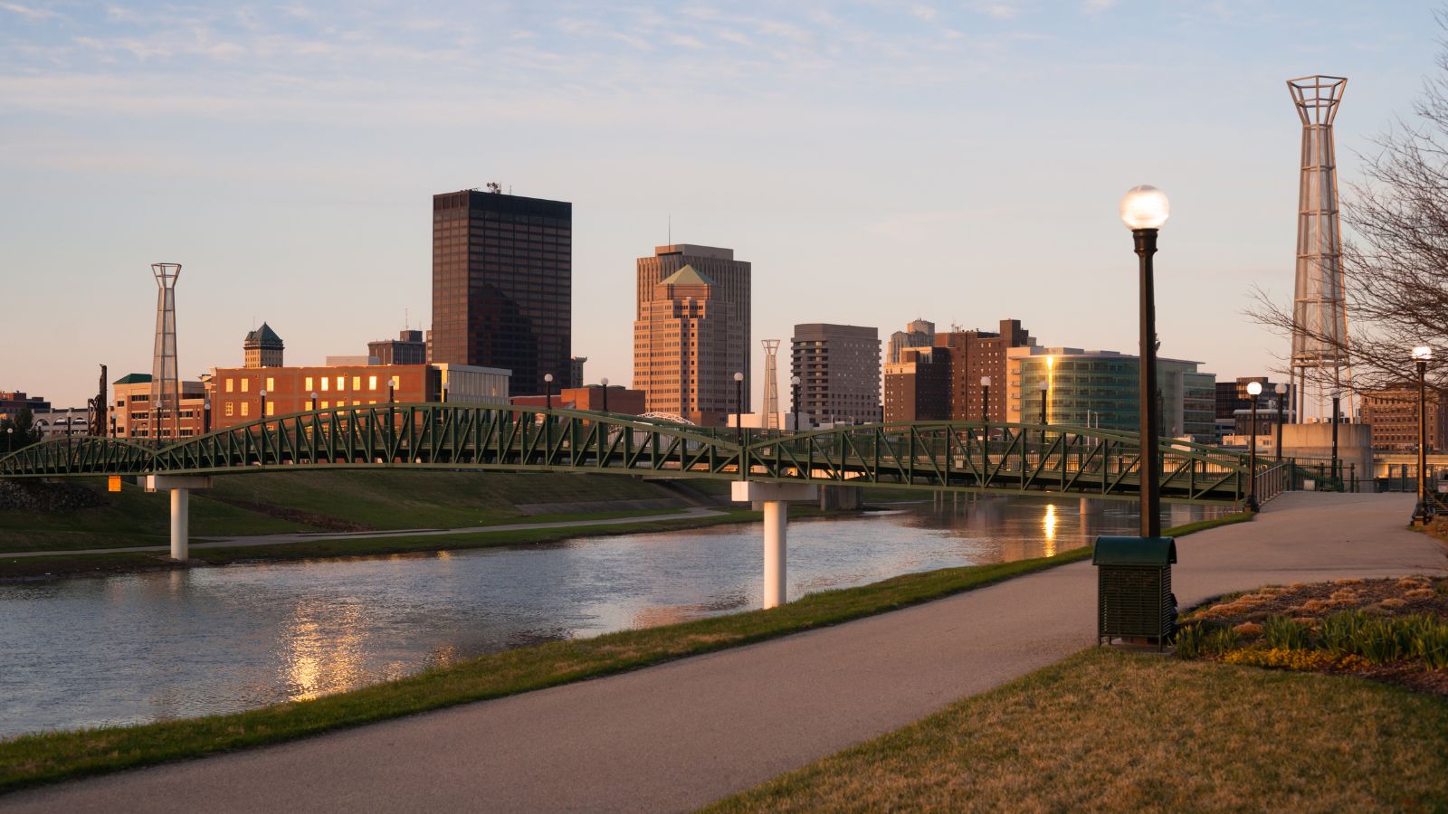
The Great Miami River, also called the Miami River, is a 160-mile-long tributary of the Ohio River in southwestern Ohio and Indiana, originating at the man-made Indian Lake and flowing south through several cities. The river is named after the Miami, an Algonquian-speaking Native American people who lived in the region during the early days of European settlement until they were forced to relocate to the west to escape pressure from European-American settlers.
The region surrounding the Great Miami River is known as the Miami Valley, which is used as a moniker for the economic-cultural region centered primarily on the Greater Dayton area, while the lower portions of the Miami Valley fall under the influence of Cincinnati and the Ohio River Valley.
Hocking River
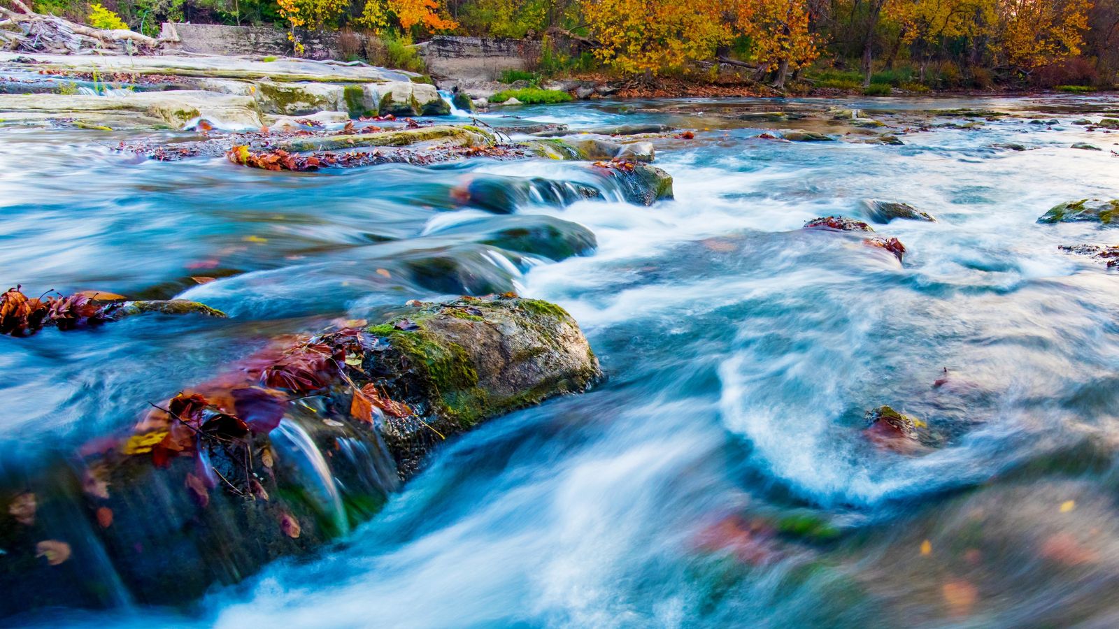
The Hocking River, formerly known as the Hockhocking River, is a 102-mile-long right tributary of the Ohio River in southeastern Ohio, rising in Bloom Township in Fairfield County and flowing southeastwardly through Fairfield, Hocking, and Athens counties, through the Hocking Hills region and past several cities before joining the Ohio River at Hockingport.
The river’s name derives from a Native American name meaning “bottle-shaped” or “gourd-shaped” and refers to the river’s headwaters. The river begins as a small stream and immediately goes over a waterfall into a wide gorge, resembling a bottle when viewed from above, which led to its name.
Sandusky River
The Sandusky River is a 133-mile-long tributary to Lake Erie in north-central Ohio, flowing into Lake Erie at the southwest side of Sandusky Bay. The river is home to the annual walleye run in the spring, but the numbers of walleye that return to spawn upstream are not as great as those that return to the Maumee River due to the Ballville Dam, which blocked migration for walleye and other fish.
Opponents of the dam projected that its removal would improve access for migratory fish to areas upstream and lead to an increase in their population, and in 2016, voters approved taking down the dam, which was demolished in July 2018.
Tuscarawas River
The Tuscarawas River is a 129.9-mile-long principal tributary of the Muskingum River in northeastern Ohio, draining an area of 2,590 square miles on glaciated and unglaciated portions of the Allegheny Plateau, and via the Muskingum and Ohio rivers, it is part of the watershed of the Mississippi River.
The river rises southwest of Hartville in northern Stark County and flows through various communities, including Uniontown, Akron, Canal Fulton, Massillon, Navarre, Bolivar, Zoar, Dover, and New Philadelphia, before turning southwest and west into Coshocton County, where it joins the Walhonding River at the city of Coshocton to form the Muskingum River.
The river passes through sites of former Lenape people villages at the time of the American Revolutionary War, including Tuscarawas, Gnadenhutten, Port Washington, and Newcomerstown.
St Marys River
The St. Marys River is a 99-mile-long tributary of the Maumee River in northwestern Ohio and northeastern Indiana, forming in southern Auglaize County by the confluence of the East Branch and Center Branch. The river flows through a primarily rural farming region in the watershed of Lake Erie, and prior to development, it was part of the Great Black Swamp.
The river flows past several communities, including St. Marys, Rockford, Willshire, Decatur, and Fort Wayne, where it joins the St. Joseph River to form the Maumee River in downtown Fort Wayne. A US Navy vessel, the St. Mary’s River, was named after this river during World War II.
Blanchard River
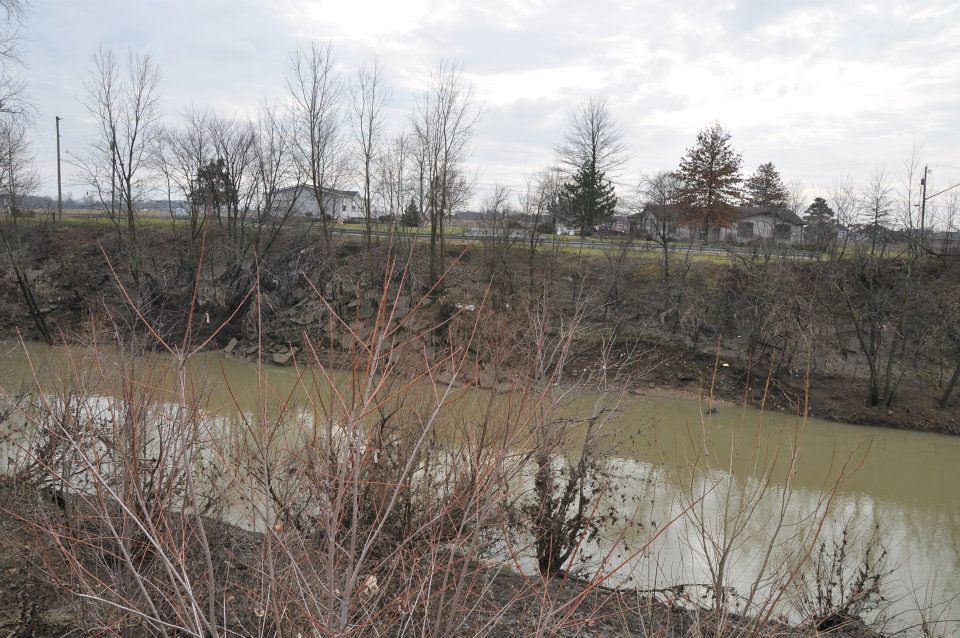
The Blanchard River is a 103-mile-long tributary of the Auglaize River in northwestern Ohio, draining a primarily rural farming area in the watershed of Lake Erie.
The river rises in central Hardin County and flows generally north for its first 25 miles into eastern Hancock County, where it turns sharply to the west, flowing through Findlay and past Ottawa before joining the Auglaize from the east in western Putnam County. The river provides important habitat for fish and wildlife, and its watershed is a significant agricultural region.
Auglaize River
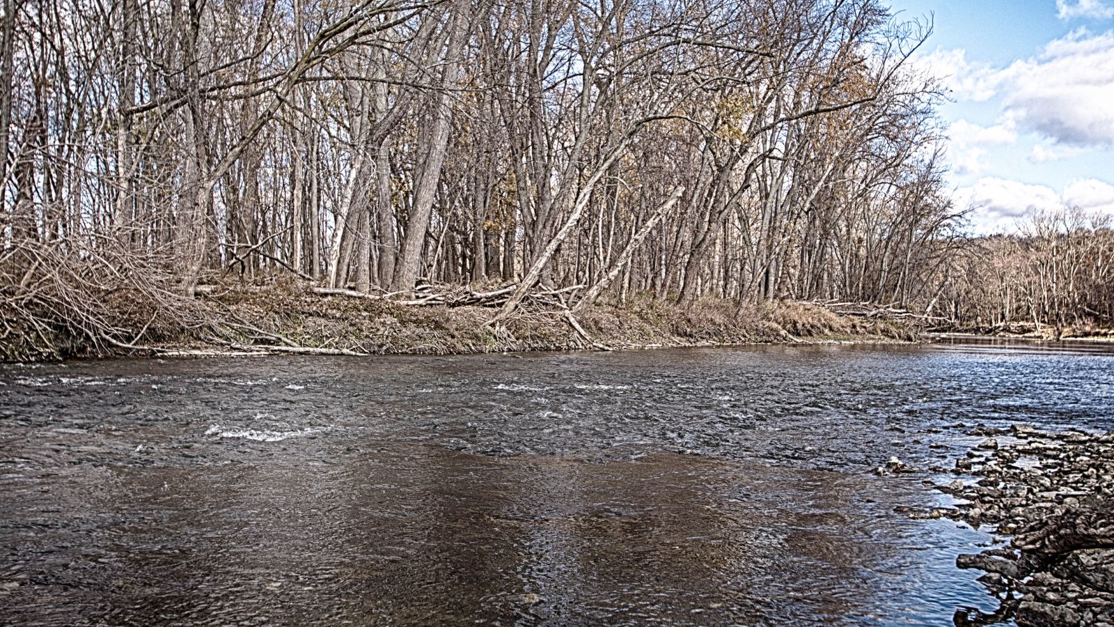
The Auglaize River is a 113-mile-long tributary of the Maumee River in northwestern Ohio, draining a primarily rural farming area in the watershed of Lake Erie. The river rises in southeastern Allen County, flows southwest to Wapakoneta, then generally north in a zigzag course, past Delphos, Fort Jennings, and Oakwood, before joining the Maumee from the south at Defiance.
The river’s name derives from the French term for it, “rivière à la Grande Glaize”, meaning river of Great Clay, referring to the soil in the area. The river receives several tributaries, including the Ottawa River, Blanchard River, Little Auglaize River, and Flatrock Creek.
Olentangy River

The Olentangy River is a 97-mile-long tributary of the Scioto River in Ohio, originally called keenhongsheconsepung, a Delaware word meaning “sharp tool river”, based on the shale found along its shores.
Early settlers translated this into “Whetstone River”, but in 1833, the Ohio General Assembly mistakenly gave it the name “Olentangy” – Delaware for “river of the red face paint” – which had actually belonged to what is now known as Big Darby Creek. The river flows through Columbus, Ohio, and is an important part of the city’s landscape, providing recreational opportunities and habitat for wildlife.
Grand River
The Grand River is a 102.7-mile-long tributary of Lake Erie in northeastern Ohio, draining an area of 712 mi². The river begins in southeastern Geauga County and flows eastward into Trumbull County before turning northward into Ashtabula County, where it flows through the village of Rock Creek, and then turns westward into Lake County, flowing through the communities of Painesville and Grand River before flowing into Lake Erie in Fairport Harbor.
The river is an important part of the region’s landscape, providing recreational opportunities and habitat for fish and wildlife, and via Lake Erie, it is part of the watershed of the St. Lawrence River, which flows to the Atlantic Ocean.
Licking River

The Licking River is a 40-mile-long tributary of the Muskingum River in central Ohio, and via the Muskingum and Ohio Rivers, it is part of the watershed of the Mississippi River. The river flows through several communities, including Newark, Heath, and Hebron, and is an important source of water for the region. The Licking River provides recreational opportunities and habitat for fish and wildlife, and its watershed is a significant agricultural region.
Mad River
The Mad River is a 66-mile-long stream located in west central Ohio, flowing from Logan County to downtown Dayton, where it meets the Great Miami River in Deeds Park. The river’s name derives from its mad, broken, and rapid current, and it has historically been known by the names Mad Creek and Tiber River, as well as the Croatian name Fiume Mad.
The Mad River was one of the Great Miami River tributaries that flooded during the Great Dayton Flood of 1913, resulting in the creation of the Miami Conservancy District. Today, the river is an important coldwater fishery, stocked periodically with rainbow and brown trout by the Ohio Department of Natural Resources’s Division of Wildlife, although sedimentation from channelization, agricultural runoff, and diminishing habitat have led to low reproduction rates.
Lakes
Indian Lake
Indian Lake, formerly known as Lewistown Reservoir, is a 5,104-acre reservoir in Logan County, western Ohio, fed by several creeks and the north and south forks of the Upper Great Miami River. It is the second-largest inland lake in Ohio, approximately 20 miles southeast of Lima, and has numerous islands, wildlife areas, and approximately 30 miles of shoreline.
The lake and adjoining Oldfield Beach, Moundwood, and Lakeview Harbor boat ramps, marinas, and greenspaces, including Pew Island, are managed by the Ohio Department of Natural Resources as part of the Ohio State Park system, offering recreational opportunities such as walking trails and boating.
Mosquito Creek Lake
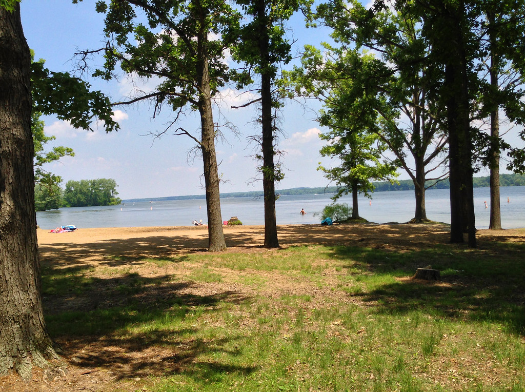
Mosquito Creek Lake, formerly Mosquito Creek Reservoir, is a man-made reservoir in Trumbull County, northeast Ohio, approximately 6 miles northeast of Warren. It is the second-largest inland lake in Ohio, fed by Mosquito Creek and Walnut Creek, and has a depth averaging 8 to 15 feet, with the southern end towards the dam averaging 20 to 25 feet.
Completely surrounding the lake is Mosquito Lake State Park, and it is bisected by the Ohio State Route 88 causeway, offering recreational opportunities such as fishing, boating, and camping.
Senecaville Lake
Senecaville Lake, located in Guernsey and Noble Counties, Ohio, is a popular reservoir among recreation and fishing enthusiasts, often referred to locally as Seneca Lake.
The lake was created in 1937 by the U.S. Army Corps of Engineers as part of the Muskingum Watershed Conservancy District’s flood control and water conservation project, with the Seneca Fork of Wills Creek valley being dammed to create a flood control and water conservation reservoir. Today, the reservoir serves as a conservation pool for flood control, recreation, fish and wildlife, and for the maintenance of normal downstream flows during dry periods.
Tappan Lake
Tappan Lake, also known as Tappan Reservoir, is a 2,350-acre reservoir in Harrison County, Ohio, part of the Muskingum Watershed Conservancy District. The lake has a 399 horsepower limit for boats, and there are two public launch ramps, one near the roadside rest area on U.S. 250 and the other across from Tappan Marina, with a third launch ramp located inside Tappan Lake Park.
Tappan Lake, located between Cadiz and Dennison, took its name from the former community of Tappan, which was inundated with the completion of the lake in 1938, while the former town of Laceyville lies beneath the lake.
Buckeye Lake
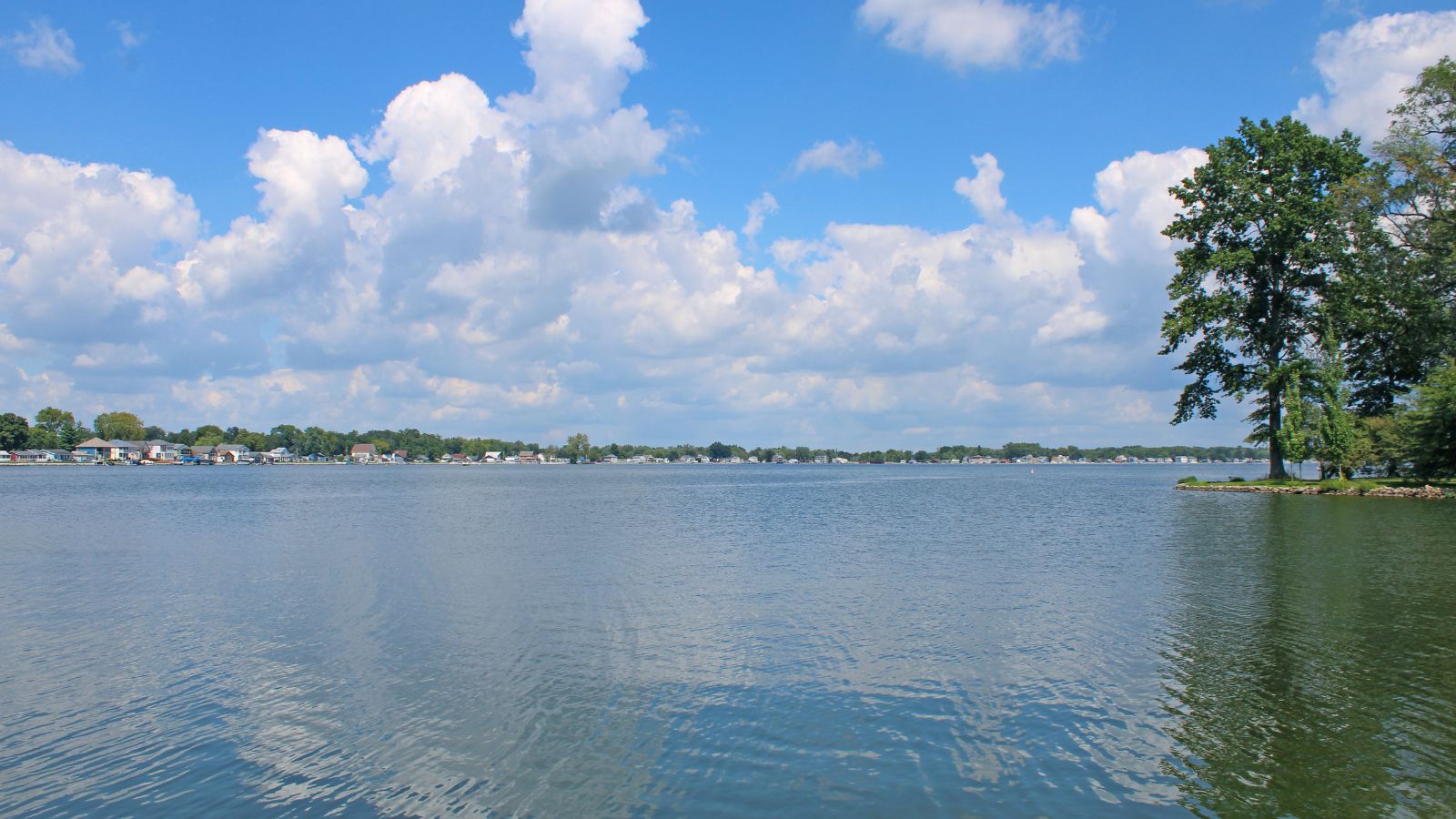
Buckeye Lake, a reservoir in Fairfield, Licking, and Perry counties in Ohio, was created in the 19th century as the “Licking Summit Reservoir” as part of the Ohio and Erie Canal project. After the canal system’s demise in the early 20th century, the lake’s usage shifted to recreation, and in 1894, the Ohio State Legislature changed the reservoir’s name to “Buckeye Lake”.
An amusement park and other recreation-oriented businesses developed and thrived, eventually declining as the 20th century progressed, and in 1949, Buckeye Lake was named a state park, with much of the area around the lake being used for vacation or permanent residences.

