Amid the rugged peaks and sprawling landscapes of the Treasure State, a symphony of water and wilderness intertwines to create a unique harmony. Montana, known for its untamed beauty and outdoor pursuits, holds within its embrace a network of rivers and lakes that compose melodies as diverse as its geography.
Just as a conductor guides an orchestra, Montana’s rivers and lakes guide explorers, fishermen, and nature enthusiasts through a captivating journey. In this article, we embark on an expedition that follows the currents of Montana’s rivers and reflects upon the serenity of its lakes.
Join us as we explore the significance of these aqueous compositions, uncovering their ecological importance, recreational allure, and cultural significance, and discovering the profound connection between the liquid landscapes and the spirit of the Treasure State.
Printable Montana Lakes and Rivers Map
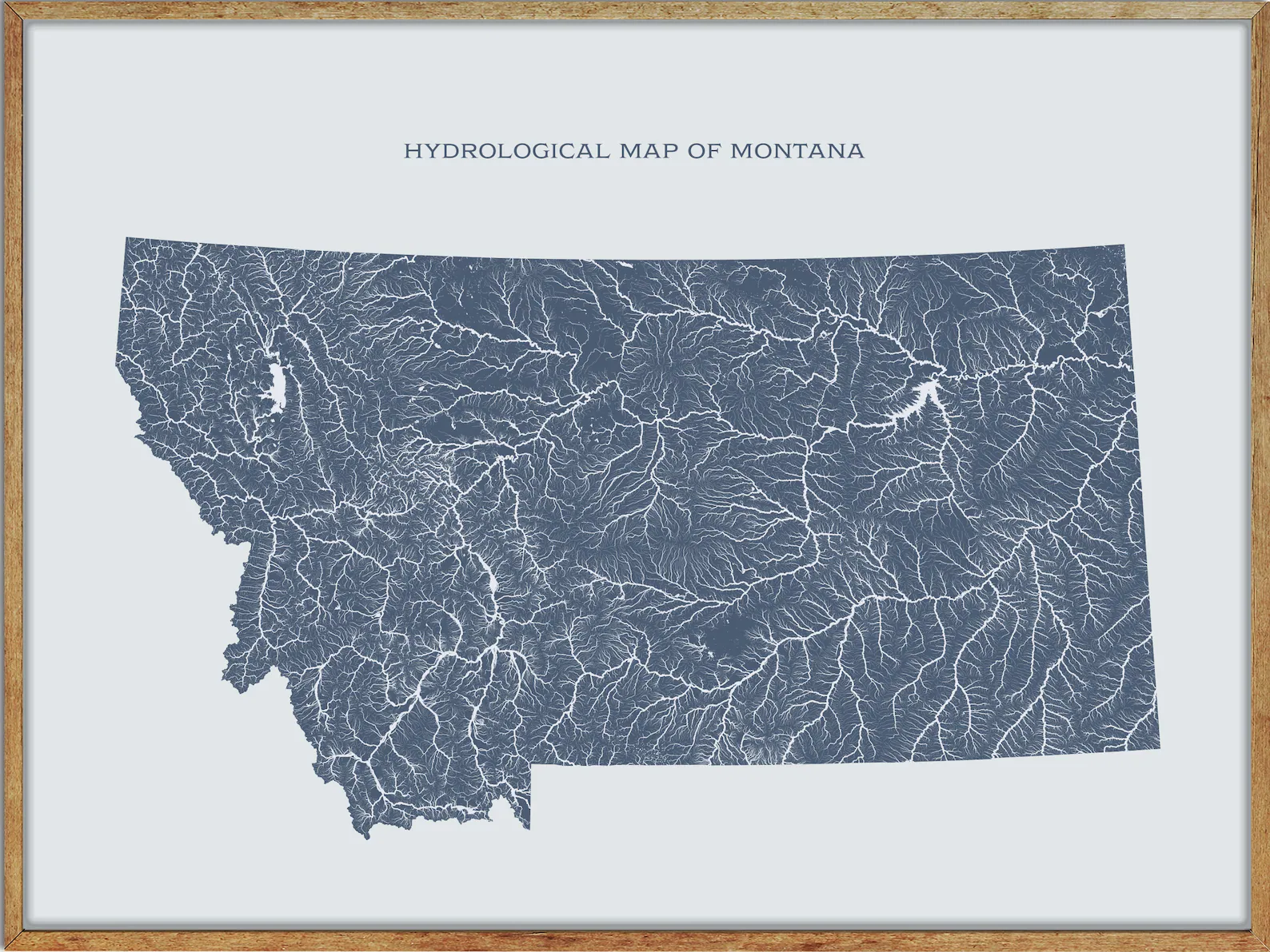
Rivers
Yellowstone River
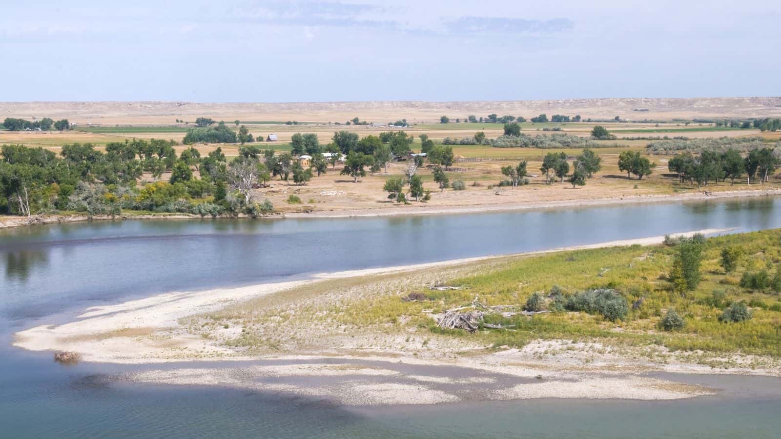
The Yellowstone River is a 692-mile-long tributary of the Missouri River in the Western United States that is considered the principal tributary of the upper Missouri, draining an area with headwaters across the mountains and high plains of southern Montana and northern Wyoming, and stretching east from the Rocky Mountains in the vicinity of Yellowstone National Park.
The river flows northeast to its confluence with the Missouri River on the North Dakota side of the border, about 25 miles west of present-day Williston. The Yellowstone River and its tributaries are known for their scenic beauty, recreational opportunities, and importance to the region’s ecology and economy.
Clark Fork River
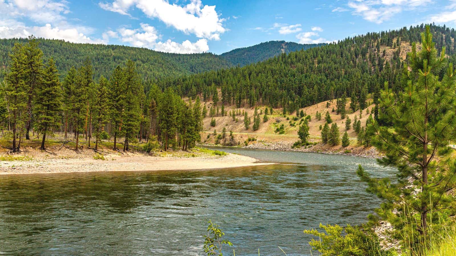
The Clark Fork River, also known as the Clark Fork of the Columbia River, is a 310-mile-long river in Montana and Idaho that drains an extensive region of the Rocky Mountains in western Montana and northern Idaho in the watershed of the Columbia River.
The river flows northwest through a long valley at the base of the Cabinet Mountains and empties into Lake Pend Oreille in the Idaho Panhandle and is sometimes included as part of the Clark Fork, giving it a total length of 479 miles, with a drainage area of 25,820 square miles.
The Clark Fork is a Class I river for recreational purposes in Montana from Warm Springs Creek to the Idaho border, and should not be confused with the Clarks Fork of the Yellowstone River, which is located in Montana and Wyoming and is on the Atlantic side of the Great Divide.
Milk River
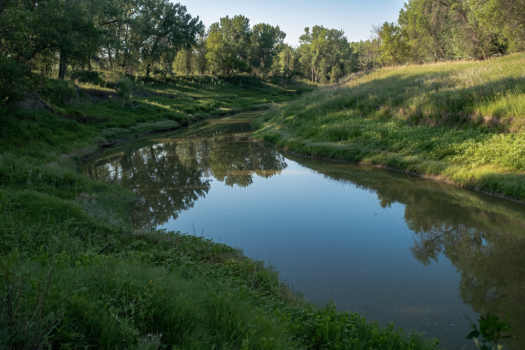
The Milk River is a 729-mile-long tributary of the Missouri River in Montana and the Canadian province of Alberta that drains a sparsely populated, semi-arid watershed of 23,800 square miles, ending just east of Fort Peck, Montana.
The river is formed in Glacier County in northwestern Montana by the confluence of its South and Middle Forks and flows east-northeast into southern Alberta, where it is joined by the North Fork of the Milk River, passing through the town of Milk River and Writing-on-Stone Provincial Park. It then turns southeast into Montana, running east along the north side of the Sweetgrass Hills, flowing past the Fresno Dam, Havre, Glasgow, and joining the Missouri in Valley County, Montana, 5 miles downstream from Fort Peck Dam.
The watershed of the river extends into the Canadian provinces of Alberta and Saskatchewan and the US state of Montana, covering an area of 61,642 km2.
Bitterroot River
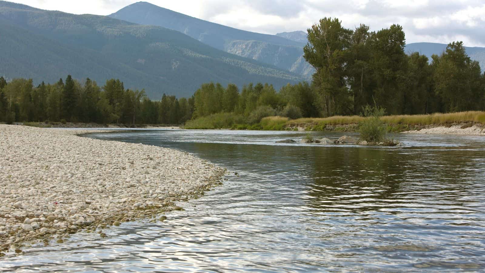
The Bitterroot River is an 84-mile-long river running through the Bitterroot Valley, from the confluence of its West and East forks near Conner in southern Ravalli County to its confluence with the Clark Fork River near Missoula in Missoula County, in western Montana.
The Clark Fork River is tributary to the Columbia River and ultimately, the Pacific Ocean. The Bitterroot River is a Blue Ribbon trout fishery with a healthy population of native westslope cutthroat trout and bull trout, making it the third most fly-fished river in Montana behind the Madison and Big Horn Rivers.
Big Hole River

The Big Hole River is a tributary of the Jefferson River, approximately 153 miles long, in Beaverhead County, in southwestern Montana, United States. It is the last habitat in the contiguous United States for native fluvial Arctic grayling and is a historically popular destination for fly fishing, especially for trout.
The Big Hole River watershed drains 2,800 sq mi and the source of the mainstem Big Hole River is Skinner Lake in the Beaverhead National Forest in the Beaverhead Mountains of the Bitterroot Range at the Continental Divide along the Montana-Idaho border in western Beaverhead County.
Tongue River
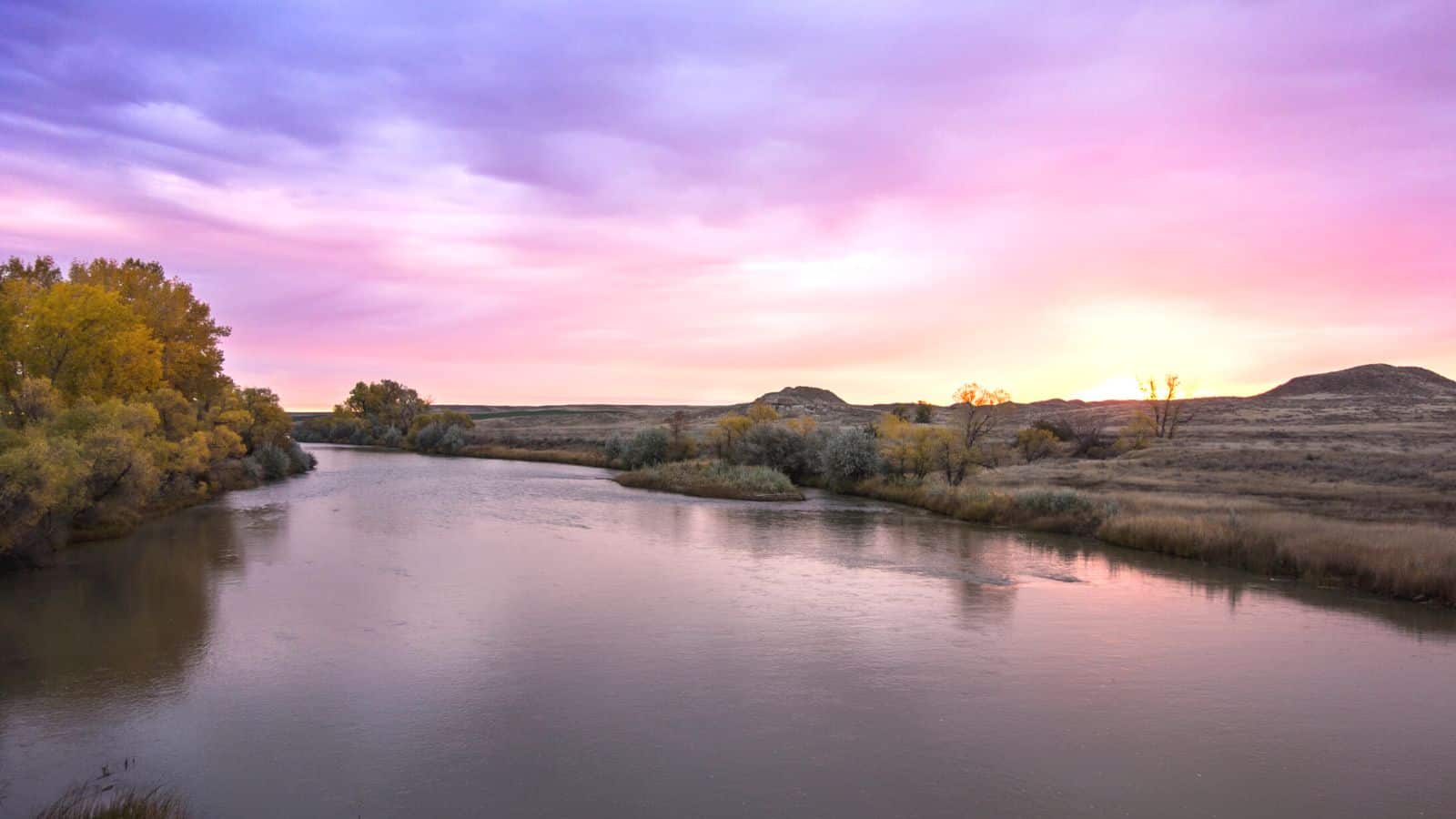
The Tongue River is a 265-mile-long tributary of the Yellowstone River in the U.S. states of Wyoming and Montana. Rising in the Big Horn Mountains in Wyoming, the Tongue River flows generally northeast through northern Wyoming and southeastern Montana, and empties into the Yellowstone River at Miles City, Montana.
The Tongue River watershed encompasses parts of the Cheyenne and Crow Reservations in Montana, the headwaters lie on the Bighorn National Forest in Wyoming, and the watershed encompasses the Ashland Ranger District of the Custer National Forest. The river’s name corresponds to Cheyenne /vetanoveo’he/, where /vetanove/ means “tongue” and /o’he’e/ means “river”.
Musselshell River

The Musselshell River is a 341.9-mile-long tributary of the Missouri River, entirely located within Montana in the United States, rising in several forks in the Crazy, Little Belt, and Castle mountains in central Montana.
The main branch is formed by the confluence of the North Fork and South Fork in Meagher County, about 25 miles east of White Sulphur Springs, Montana, just east of Martinsdale, north of Martinsdale Reservoir, and just west of Meagher County’s border with Wheatland County.
The Musselshell River was named by the Lewis and Clark Expedition on May 20, 1805, for the freshwater mussels lining the bank, and has also been known as Cockkleshell River, Mahtush-ahzhah, Muscleshell River, Mustleshell River, and Shell River.
Sun River
The Sun River, also called the Medicine River, is a 130-mile-long tributary of the Missouri River in Montana in the United States, rising in the Rocky Mountains in two forks, the North Fork and South Fork, which join in the Flathead National Forest above Gibson Reservoir along the county line between Teton and Lewis and Clark counties.
It flows E, SE, and E away from the mountains, past Simms, Sun River, and Vaughn, and joins the Missouri at Great Falls. The water of the river is used extensively for irrigation, through the Sun River Project of the United States Bureau of Reclamation, covering approximately 92,000 acres.
Marias River
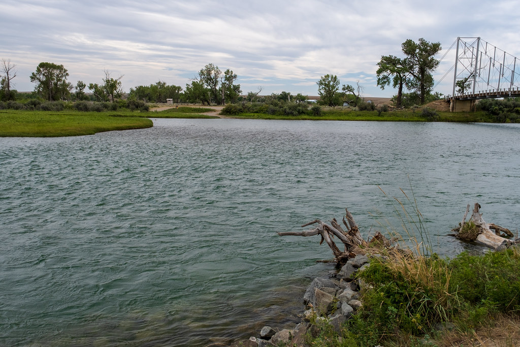
The Marias River is a 210-mile-long tributary of the Missouri River in Montana, formed in Glacier County by the confluence of the Cut Bank Creek and the Two Medicine River. It flows east, through Lake Elwell, formed by the Tiber Dam, then southeast, receiving the Teton River at Loma, 2 mi. above its confluence with the Missouri.
The river was explored by the Lewis and Clark Expedition in 1805 and was named by Meriwether Lewis after his cousin, Maria Wood. The Marias River was also the scene of the 1870 Marias Massacre, and it is a Class I river from Tiber Dam to its confluence with the Missouri River for public access for recreational purposes.
Teton River
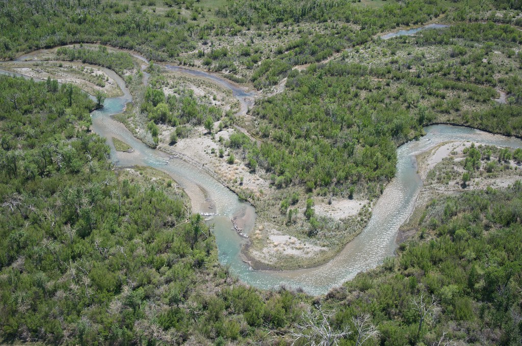
The Teton River is a 150-mile-long tributary of the Marias River, located in northwestern Montana, in the Western United States. Its watershed is within Teton County and Chouteau County, Montana, and its headwaters are in the southern Lewis Range of the Rocky Mountains at the continental divide, in the Lewis and Clark National Forest.
The river flows southeast, then east, down from the Lewis mountains and across Teton County, past the town of Choteau, where it is joined by Muddy Creek and Deep Creek, and continues flowing east, passing near Fort Benton to its confluence with the Marias River, only 3 miles upstream of the Marias’ confluence with the Missouri River.
Bighorn River
The Bighorn River is a 461-mile-long tributary of the Yellowstone, flowing through the states of Wyoming and Montana in the western United States. The river was named in 1805 by fur trader François Larocque for the bighorn sheep he saw along its banks as he explored the Yellowstone. The upper reaches of the Bighorn, south of the Owl Creek Mountains in Wyoming, are known as the Wind River, and the two rivers are sometimes referred to as the Wind/Bighorn.
The Bighorn River flows through the Bighorn Basin in north-central Wyoming, passing through Thermopolis and Hot Springs State Park, then turns northeast at the border with Montana, flowing past the north end of the Bighorn Mountains, through the Crow Indian Reservation, where the Yellowtail Dam forms the Bighorn Lake reservoir, and joining the Yellowstone approximately 50 miles farther downriver, near the town of Hardin, Montana.
Powder River
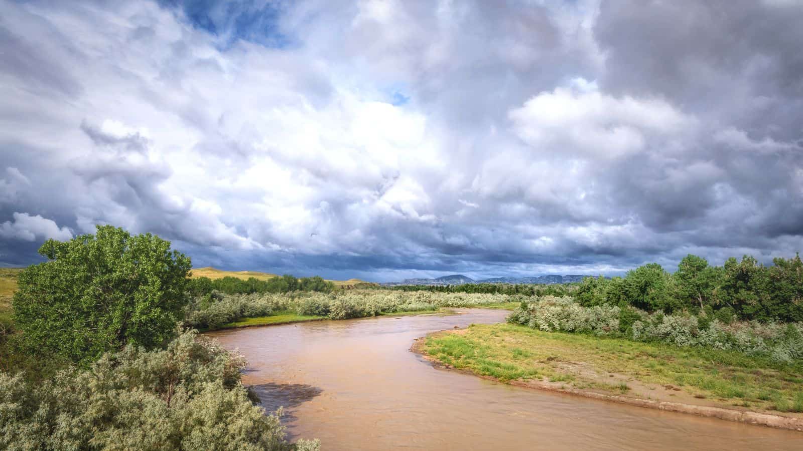
Powder River is a 375-mile-long tributary of the Yellowstone River, flowing through northeastern Wyoming and southeastern Montana in the United States. Combined with its tributary, the South Fork Powder River, it is 550 miles long, draining an area historically known as the Powder River Country on the high plains east of the Bighorn Mountains.
The river rises in three forks in north-central Wyoming, the North and Middle forks along the eastern slope of the Bighorn Mountains, and the South Fork on the southern slopes of the Bighorn Mountains west of Casper, meeting on the foothills east of the Bighorns near the town of Kaycee, and flowing northward, east of the Bighorns, into Montana, where it is joined by the Little Powder near the town of Broadus, and joins the Yellowstone approximately 50 miles downriver from Miles City, Montana.
The Powder River was named because the sand along a portion of its banks resembles powder or dust.
Madison River
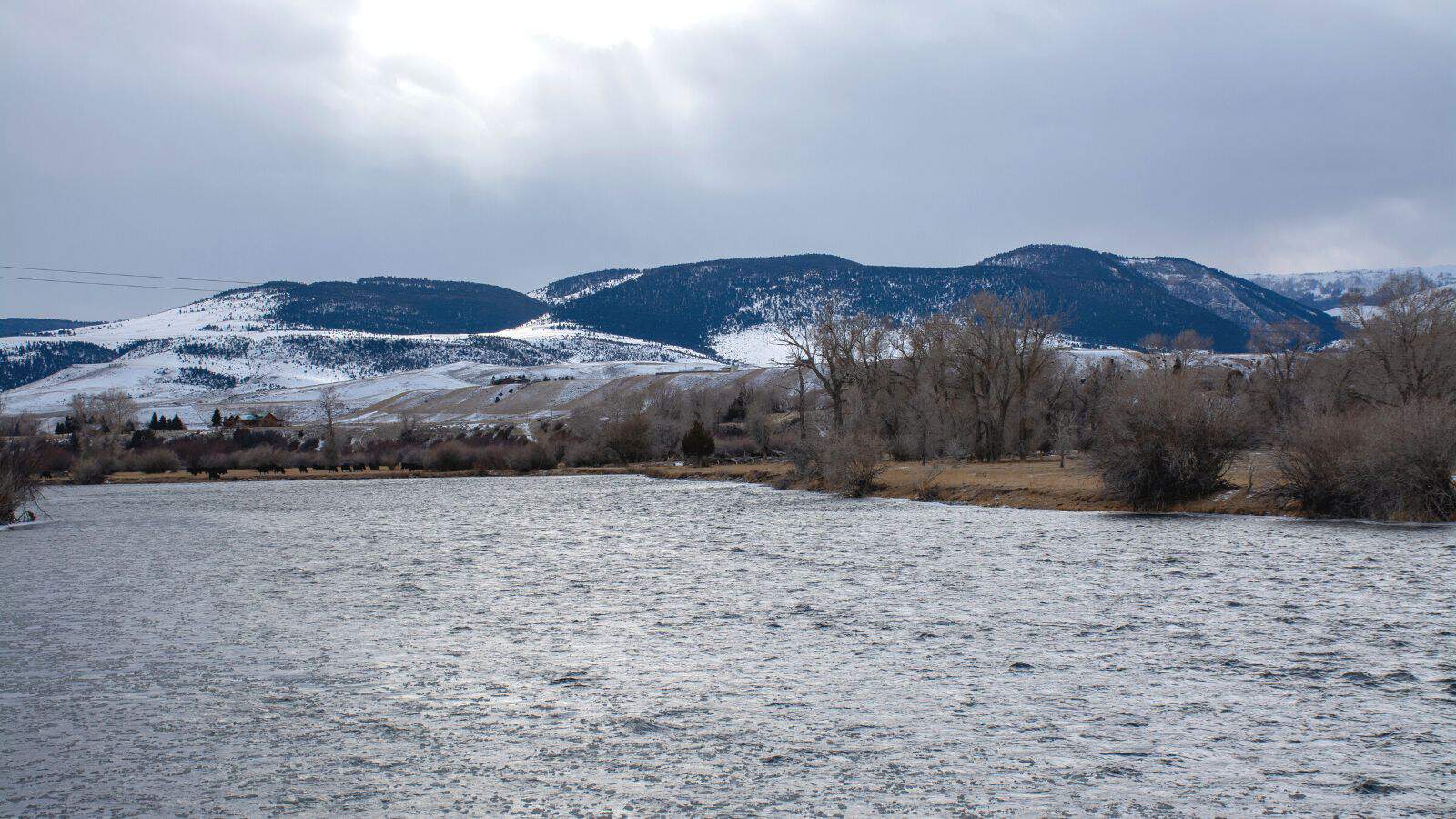
The Madison River is a 183-mile-long tributary of the Missouri River, flowing through Wyoming and Montana in the United States. Its confluence with the Jefferson and Gallatin rivers near Three Forks, Montana forms the Missouri River.
The Madison rises in Teton County in northwestern Wyoming at the confluence of the Firehole and Gibbon rivers, flowing west then north through the mountains of southwestern Montana to join the Jefferson and the Gallatin rivers at Three Forks. The river was named for U.S. Secretary of State James Madison, who later succeeded Thomas Jefferson as President in 1809, and is a class I river in Montana for the purposes of access for recreational use.
Gallatin River
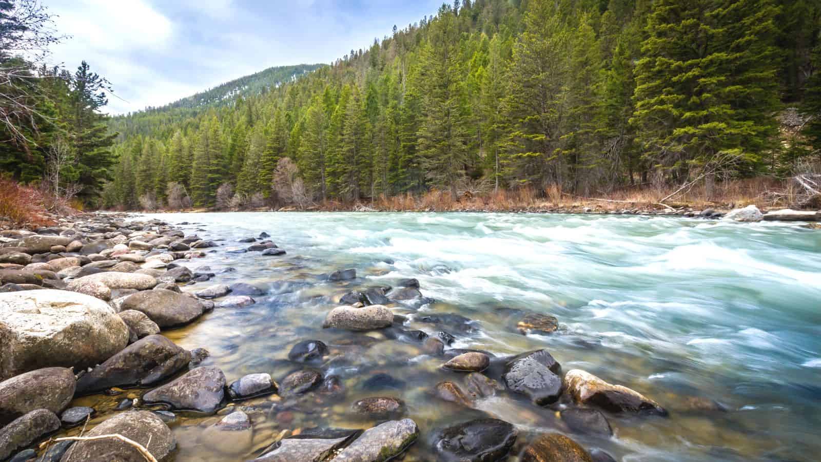
The Gallatin River is a 120-mile-long tributary of the Missouri River, flowing through Wyoming and Montana in the United States. It originates in the northwest corner of Yellowstone National Park in northwestern Wyoming, in the Gallatin Range of the Rocky Mountains, flows northwest through Gallatin National Forest, past Big Sky, Montana, and joins the Jefferson and Madison approximately 30 miles northwest of Bozeman.
The river was named for Albert Gallatin, the U.S. Treasury Secretary from 1801–14, and is one of three rivers, along with the Jefferson and Madison, that converge near Three Forks, Montana, to form the Missouri. The Gallatin River is known for its scenic beauty and is an exceptionally popular fly fishing destination for rainbow trout, brown trout, and mountain whitefish.
Red Rock River
The Red Rock River is a roughly 70-mile-long river in southwestern Montana, with a drainage basin covering over 1,548 square miles. Its furthest tributary, Hell Roaring Creek, originates in the Beaverhead National Forest near the Montana-Idaho border, close to the furthest headwaters of the Missouri River, which is the furthest headwaters of the entire Missouri-Mississippi river system.
The Red Rock River flows west, receiving many tributaries such as Peet Creek and Long Creek, widening into the Lima Reservoir and then passing through a canyon, which ends near Lima, Montana, and flows northwest through a valley, passing Kidd and Red Rock, and into Clark Canyon Reservoir, where it once formed the Beaverhead River, a tributary of the Jefferson River, in turn, a headwater of the Missouri River.
Flathead River
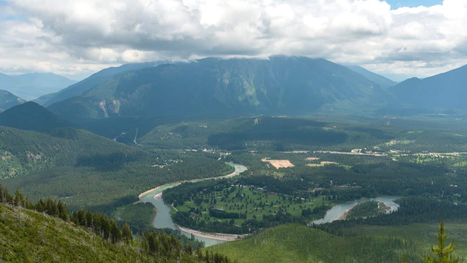
The Flathead River, originating in the Canadian Rockies to the north of Glacier National Park, is a 158-mile-long river in the northwestern part of the U.S. state of Montana that flows southwest into Flathead Lake, then empties into the Clark Fork after a journey of 158 miles.
The river is part of the Columbia River drainage basin, and with a drainage basin extending over 8,795 square miles and an average discharge of 11,380 cubic feet per second, the Flathead is the largest tributary of the Clark Fork and constitutes over half of its flow. The river is of great ecological importance and is home to a variety of fish species, including bull trout and westslope cutthroat trout.
Blackfoot River
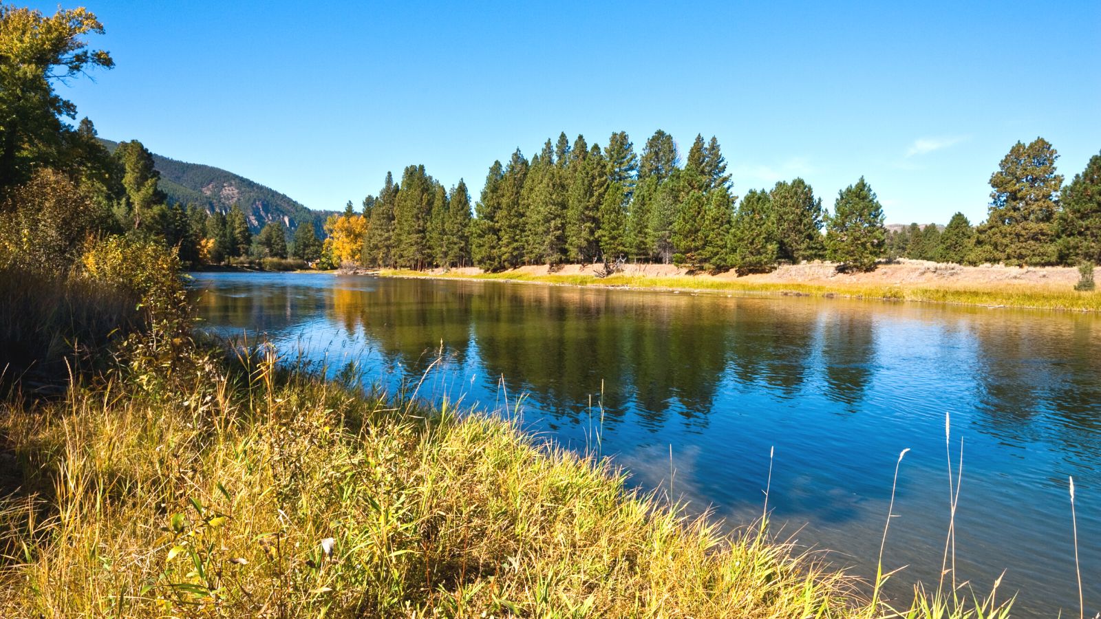
The Blackfoot River, sometimes called the Big Blackfoot River, is a snow-fed and spring-fed river in western Montana, beginning in Lewis and Clark County at the Continental Divide and flowing westward through the town of Milltown to enter the Clark Fork River approximately five miles east of the city of Missoula.
The river is famous for its recreational opportunities, most notably fly fishing, but also rafting, canoeing, and inner tubing, offering prime habitat for several varieties of trout. The Blackfoot River’s canyon and valleys were formed by the Missoula Floods, and the river is featured in the 1976 novella A River Runs Through It by Norman Maclean and the 1992 film starring Brad Pitt, directed by Robert Redford.
Beaverhead River
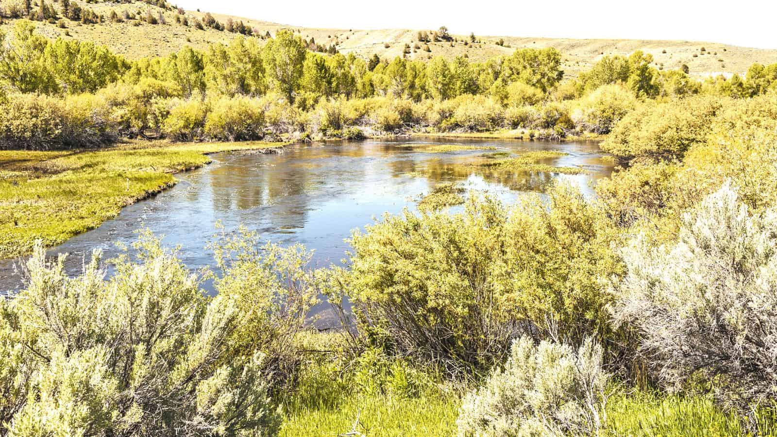
The Beaverhead River is an approximately 69-mile-long tributary of the Jefferson River in southwest Montana, draining an area of roughly 4,778 square miles. The river’s original headwaters, formed by the confluence of the Red Rock River and Horse Prairie Creek, are now flooded under Clark Canyon Reservoir, which also floods the first 6 miles of the river.
The Beaverhead then flows through a broad valley northward to join the Big Hole River and form the Jefferson River, and the name of the Beaverhead originates from Beaverhead Rock on the middle river, recognized by Sacajawea when the Lewis and Clark Expedition passed the area in 1805.
Jefferson River

The Jefferson River is an 83-mile-long tributary of the Missouri River in Montana, forming the official beginning of the Missouri at Missouri Headwaters State Park near Three Forks, where it is joined 0.6 miles downstream by the Gallatin. The river passes through a region of significant geological diversity, with some of the oldest and youngest rocks of North America and a diversity of igneous, metamorphic, and sedimentary formations.
The Jefferson River retains much of its scenic beauty and wildlife diversity from the days of Lewis and Clark, yet is threatened by water use issues and encroaching development, and is a segment of the Lewis and Clark National Historic Trail, administered by the National Park Service.
Redwater River
The Redwater River is a tributary of the Missouri River, flowing approximately 110 miles in eastern Montana. The river rises in the northern slope of the Big Sheep Mountains, in northwestern Prairie County, and flows northeast across the plains past Brockway and Circle before joining the Missouri River in northeastern McCone County, approximately 4 miles south of Poplar.
The Redwater River is an important water source for the region, providing irrigation water for agriculture and habitat for a variety of fish and wildlife species.
Judith River

The Judith River is a 124-mile-long tributary of the Missouri River, running through central Montana and rising in the Little Belt Mountains before flowing northeast past Utica and Hobson. It is joined by Dry Wolf Creek in northern Fergus County, and itself joins the Missouri in the White Cliffs Area approximately 18 miles northwest of Winifred.
The river is known for its large amount of Cretaceous dinosaur fossils, including those of Tyrannosaurus, Styracosaurus, and Edmontosaurus, giving its name to the Judith River Group of the late Cretaceous, a notable area for excavation of dinosaur fossils that stretches from Montana into southeastern Alberta and southwestern Saskatchewan.
The Judith River is also a Class I river from the confluence with Big Spring Creek to its confluence with the Missouri River for public access for recreational purposes.
Lakes
Fort Peck Lake
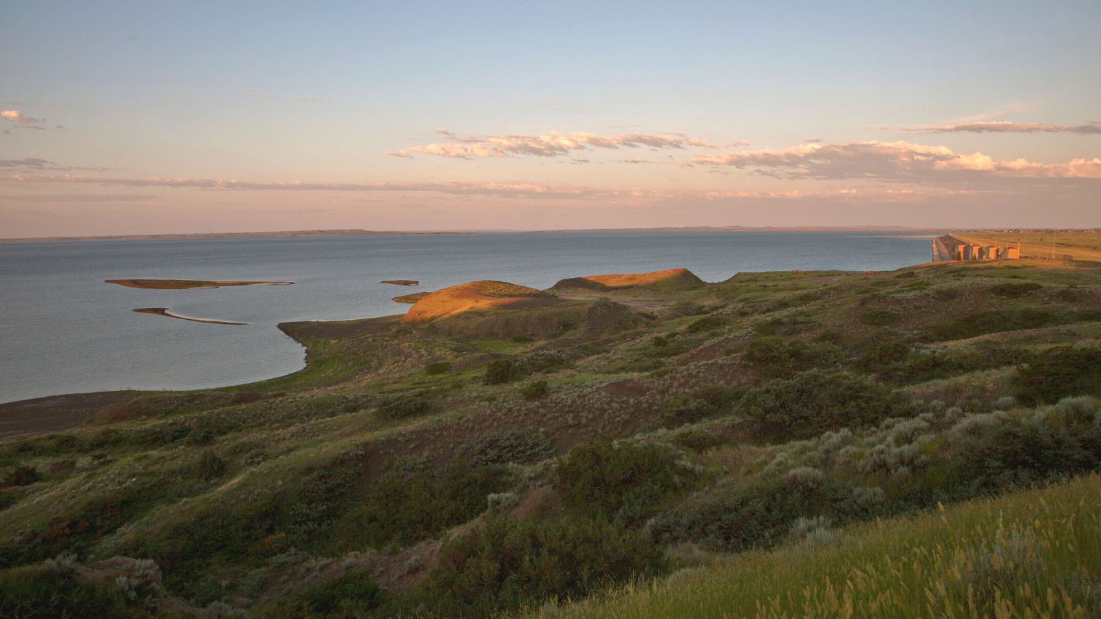
Fort Peck Lake, also known as Lake Fort Peck, is a major reservoir in Montana formed by the Fort Peck Dam on the Missouri River, located in the eastern prairie region of Montana approximately 140 miles east of Great Falls and 120 miles north of Billings, reaching into portions of six counties.
The dam and reservoir were constructed in the 1930s to enhance navigation on the Missouri River, providing enough water downstream of the dam to maintain a 9-foot deep, 300-foot wide navigation channel from Sioux City, Iowa, to the mouth of the Missouri just above St. Louis. Today, Fort Peck Lake is a popular destination for boating, fishing, and other recreational activities, and is also an important source of hydroelectric power.
Flathead Lake
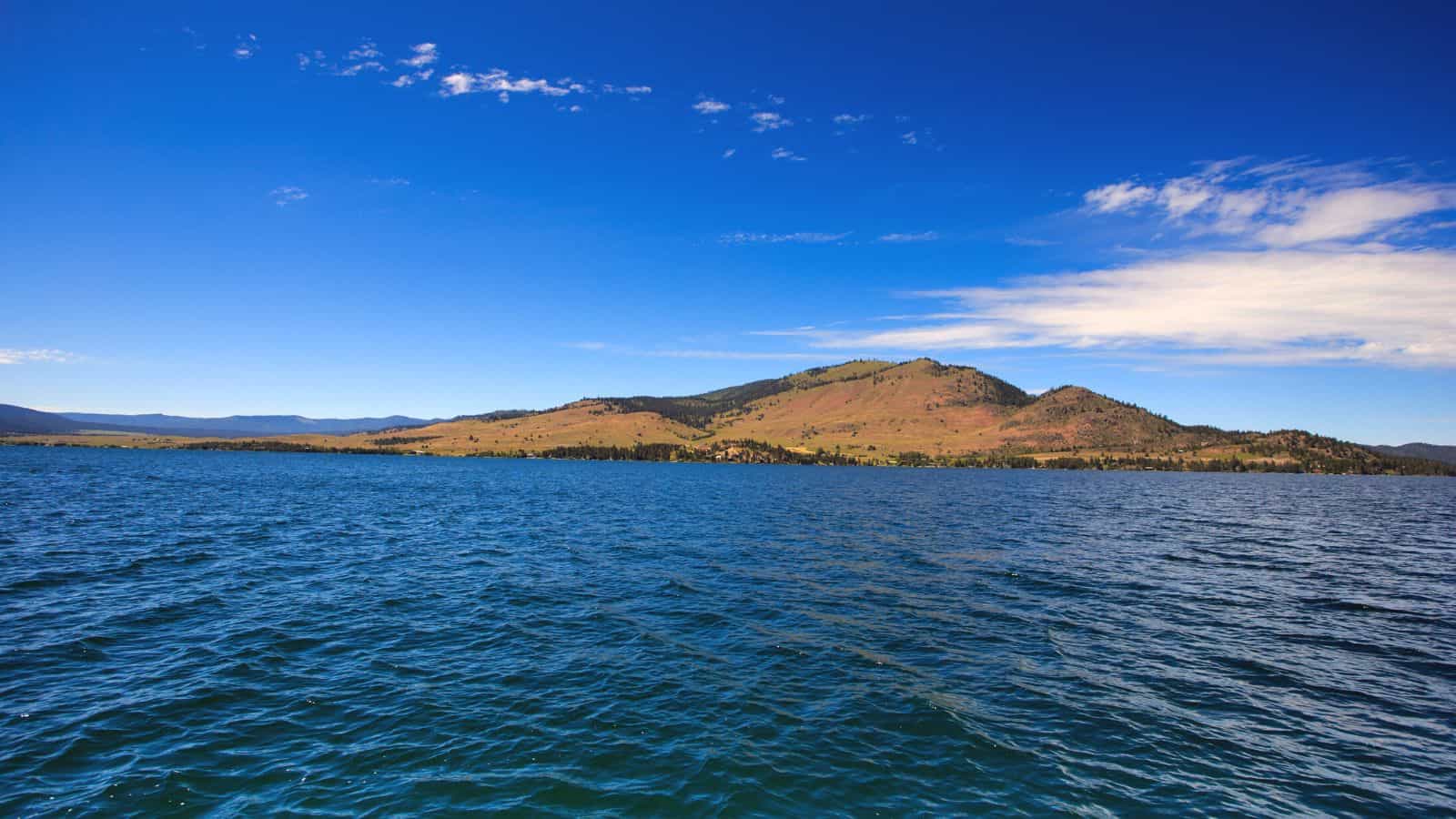
Flathead Lake is a large natural lake in northwest Montana, United States, and a remnant of the ancient, massive glacial dammed lake, Lake Missoula of the era of the last interglacial. It is a natural lake along the mainline of the Flathead River, dammed in 1930 by Kerr Dam at its outlet on Polson Bay, slightly raising the lake level and generating electricity.
The hydroelectric has been owned and operated by the Confederated Salish and Kootenai Tribes since 2015, and Flathead Lake is one of the cleanest lakes in the populated world for its size and type, making it a popular destination for boating, fishing, and other recreational activities.
Canyon Ferry Lake
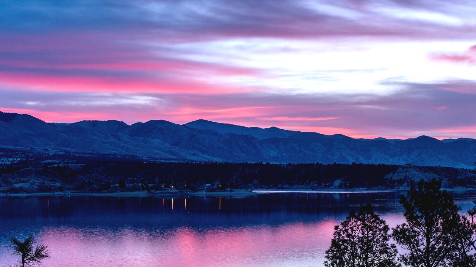
Canyon Ferry Lake is a reservoir on the Missouri River near Helena and Townsend, Montana, covering 35,181 acres and 76 miles of shore, and is Montana’s third largest body of water. It was formed by the building of Canyon Ferry Dam, which was completed in 1954 and has been used for electricity, irrigation, and flood controls since.
The lake is a popular outdoor destination providing boating, fishing, and wildlife habitat, nestled against the Big Belt Mountains of the Rocky Mountains, and has also become a leading ice boat venue for iceboat racing and iceboat world speed record attempts. The former town of Canton lies beneath the lake, having been submerged following the construction of the dam.
Lake Koocanusa

Lake Koocanusa is a reservoir in British Columbia and Montana formed by the Libby Dam on the Kootenai River in 1972, holding 13% of the water in the Columbia River system. The lake is formed north of the dam, reaching 48 miles to the Canada-United States border and 42 miles further into British Columbia, with the town of Rexford moved and the town of Waldo, British Columbia now covered by the lake.
Named in a contest won by Alice Beers of Rexford, Montana, the name Koocanusa is made from the first three letters of the Kootenay River, Canada, and USA, and locals have been urging people to pronounce the USA portion of the name the same way that you would pronounce the abbreviation, in an effort to acknowledge truth and reconciliation.
Lake Elwell

Lake Elwell, also known as Tiber Reservoir, is a reservoir in north-central Montana created by the damming of the Marias River at the Tiber Dam. The reservoir was named after Judge Charles B. Elwell, former director of the Montana Reclamation Association. Lake Elwell is a popular destination for fishing, boating, and other recreational activities, and its surrounding area is home to a variety of wildlife, including deer, elk, and waterfowl.
Hebgen Lake
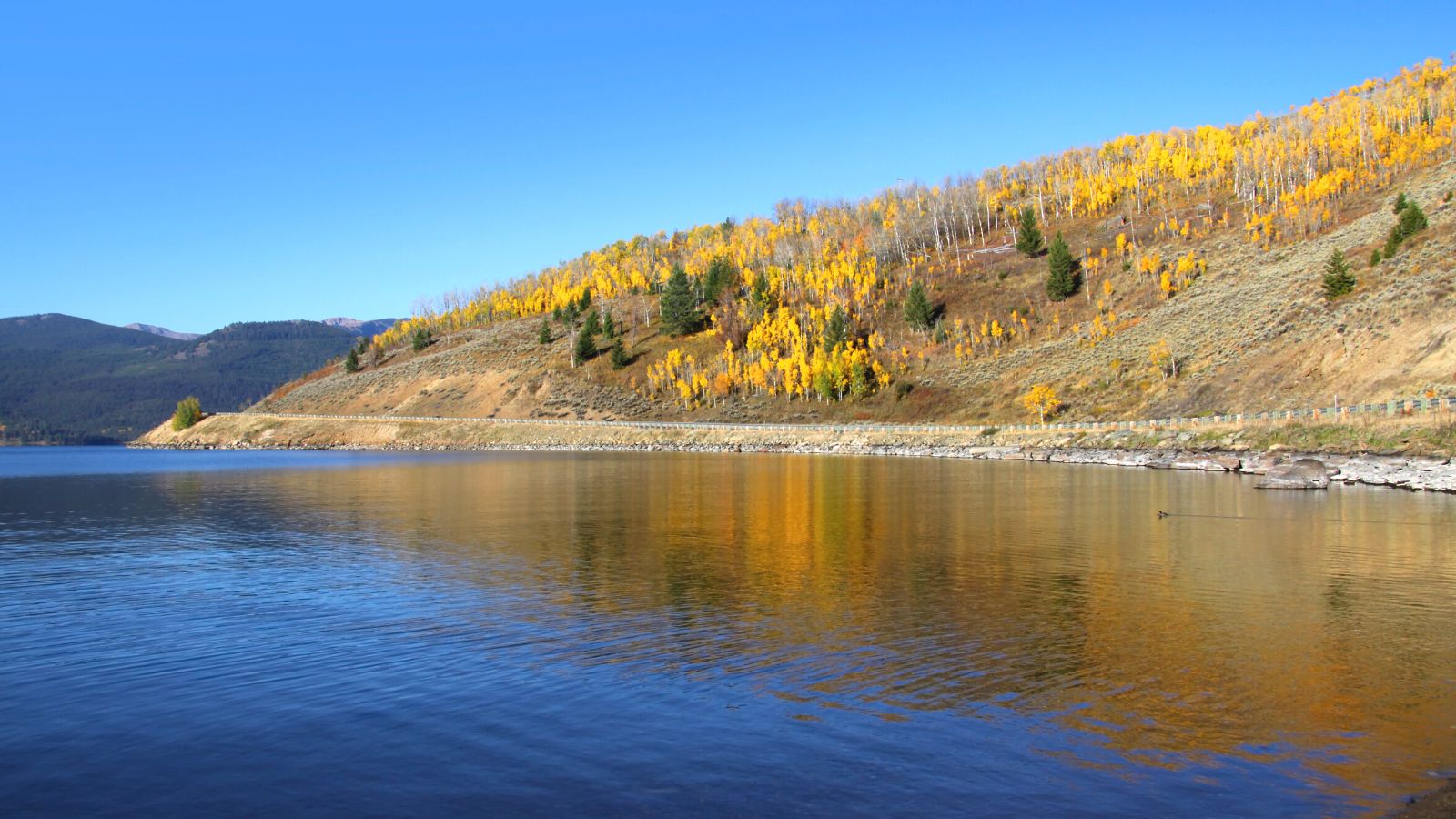
Hebgen Lake is a reservoir in Gallatin County in southwest Montana, created by the Hebgen Dam, and is well-known for the 1959 Hebgen Lake earthquake (magnitude 7.1 to 7.5) which occurred nearby on August 17, 1959, forming Quake Lake, located immediately downstream.
The lake and surrounding area offer many recreational activities, including camping, fishing, boating, and hiking, with campgrounds such as Rainbow Point and Cherry Creek offering a variety of campsites that can accommodate full-size campers and vehicles. Rainbow Point is the largest campground on the lake, offering four “loops,” each containing approximately 20 campsites.

