In the embrace of Spanish moss and the echoes of delta blues, Mississippi unveils a story not just in its historical landmarks but in the winding currents of its rivers and the serene expanses of its lakes. The Magnolia State, renowned for its cultural heritage and southern charm, cradles a treasure beyond its antebellum architecture – a labyrinth of waterways that mirrors its rich tapestry of resilience and reinvention.
Like the verses of old folk songs, Mississippi’s rivers and lakes carry echoes of exploration, industry, and the soulful rhythms of life along their shores. In this article, we embark on a journey that navigates the meandering trails of Mississippi’s rivers and immerses in the reflective depths of its lakes.
Join us as we unearth the significance of these aqueous tales, uncovering their contributions to the state’s identity, culture, and livelihoods, and revealing how the currents of water have shaped the lyrical narrative of the Magnolia State.
Printable Mississippi Lakes and Rivers Map
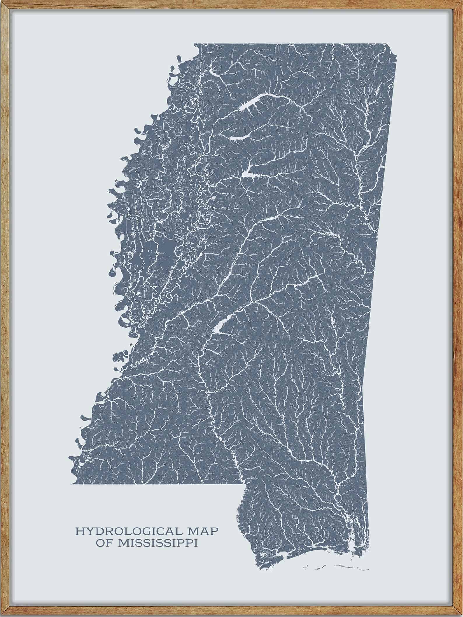
Rivers
Mississippi River
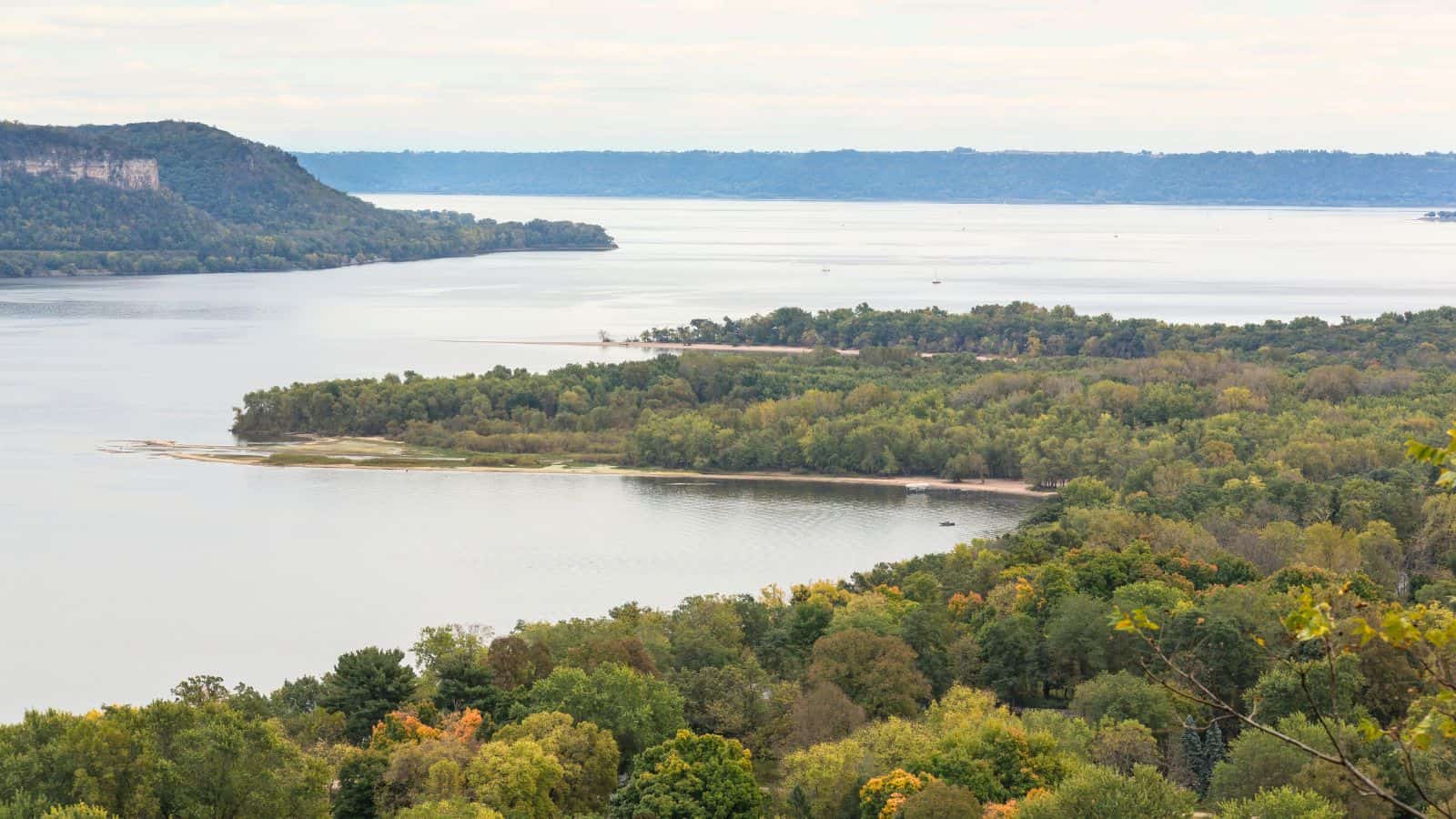
The Mississippi River is the second-longest river and chief river of the second-largest drainage system in North America, flowing for 2,340 miles from Lake Itasca in northern Minnesota to the Mississippi River Delta in the Gulf of Mexico. The river’s watershed drains all or parts of 32 U.S. states and two Canadian provinces between the Rocky and Appalachian mountains, and it either borders or passes through ten states.
Native Americans have lived along the Mississippi River and its tributaries for thousands of years, and the river has served as a vital transportation artery and communications link for centuries, with steamboats widely used in the 19th and early 20th centuries to ship agricultural and industrial goods.
Pearl River
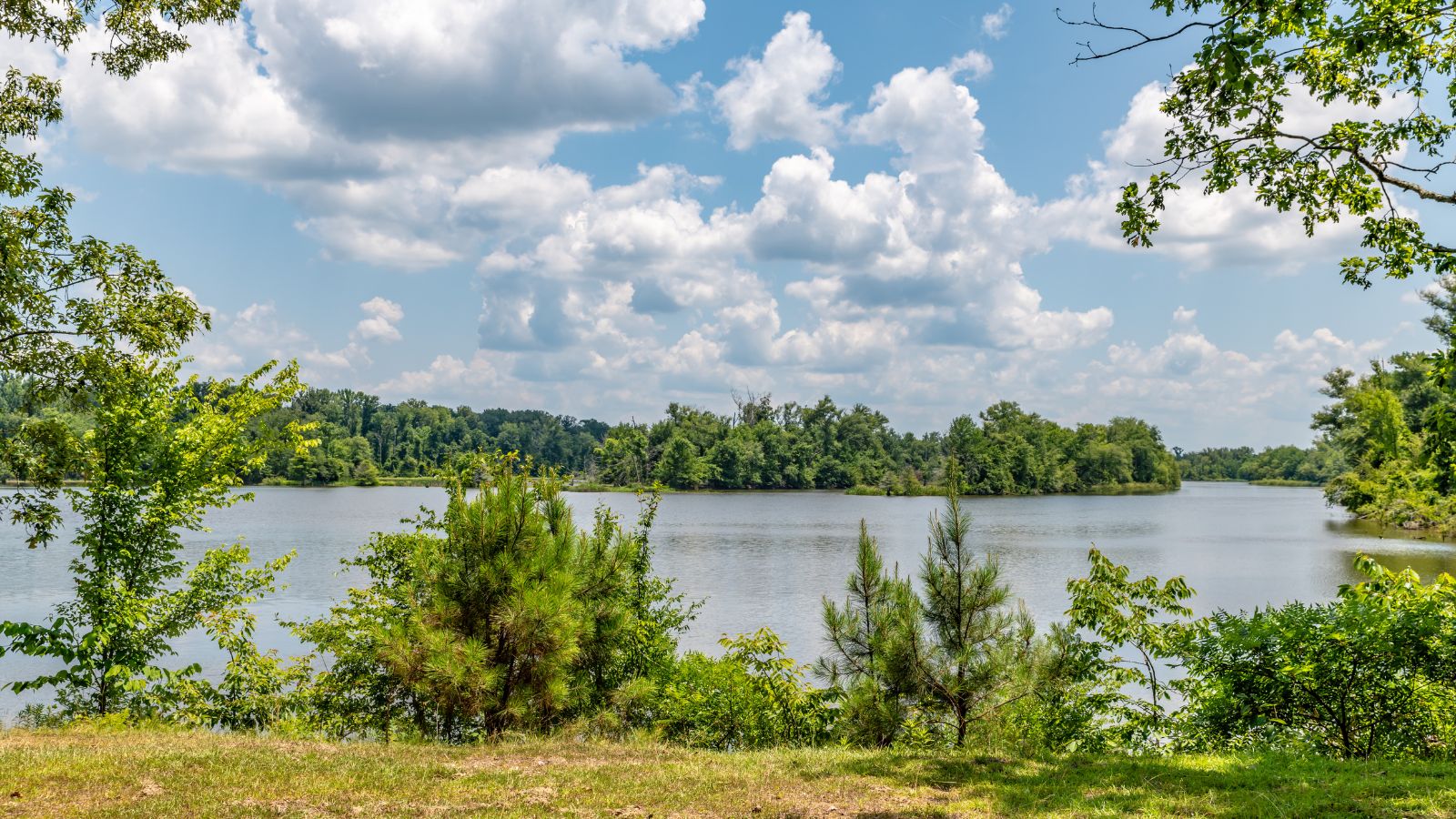
The Pearl River is a 444-mile-long river that forms in Neshoba County, Mississippi, from the confluence of Nanih Waiya and Tallahaga creeks. The lower part of the river forms part of the boundary between Mississippi and Louisiana and contains large areas of bottomland hardwood swamp and cypress swamp, providing habitat for many species of wildlife, including sturgeon and black bears.
Mississippi’s capital and largest city, Jackson, is located along the upper reaches of the river, and most of the towns along the river are within the boundaries of Mississippi.
Big Black River
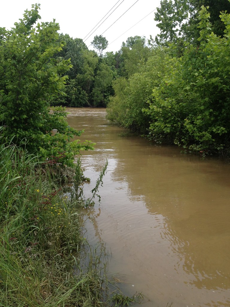
The Big Black River is a 330-mile-long river in Mississippi and a tributary of the Mississippi River. It originates in Webster County near the town of Eupora and flows in a generally southwest direction until it merges with the Mississippi River south of Vicksburg.
The river forms part of the northern border of Choctaw County, passes through Montgomery County, and forms the eastern border of Holmes County and the northern border of Claiborne County. Most of its tributaries are silt-filled, slow-flowing muddy streams, but some are swift-flowing with sandy bottoms, and the river carries large amounts of suspended sediment, mostly from agricultural runoff.
Yazoo River

The Yazoo River is a river in Mississippi and Louisiana that is considered by some to mark the southern boundary of the Mississippi Delta, a broad floodplain that was cultivated for cotton plantations before the American Civil War and has continued to be devoted to large-scale agriculture.
The river has been important for transportation and commerce, and it has been subject to frequent flooding, including a historic flood in 1927 that prompted the construction of the Yazoo Backwater Levee.
Homochitto River
The Homochitto River is a 90-mile-long river in Mississippi that flows from its source in southwest Mississippi west and south, emptying into the Mississippi River between Natchez and Woodville.
It originates in headwater tributaries along the border between Copiah County and Lincoln County and flows through the Homochitto National Forest before passing through Lincoln and Franklin counties and becoming the boundary between Franklin and Amite counties. The river has been straightened and channelized to a degree and has been subject to extensive erosion due to headcutting.
Chickasawhay River

The Chickasawhay River is a 210-mile-long river in southeastern Mississippi that is a principal tributary of the Pascagoula River, draining a portion of western Alabama.
The river is known for its abundance of fossil deposits, including many species of fossils that were the first of their kind to be studied anywhere on earth, and some sea life fossils that are now found worldwide were first discovered in deposits along this river when it was part of the sea.
The Chickasawhay is formed by the confluence of the Chunky River and Okatibbee Creek and flows generally southward through several counties, and past towns including Quitman, Waynesboro, and Leakesville.
Sunflower River

The Sunflower River, also known as the Big Sunflower River, is one of the main tributaries of the Yazoo River in Mississippi, rising in De Soto County near the Tennessee border and flowing south for 100 miles to the Yazoo River, a major tributary of the Mississippi River.
The river is navigable by barge for 50 miles, and the United States Army Corps of Engineers maintains a navigation channel, thirty miles in length, used by barges and pleasure craft. The annual Sunflower River Blues & Gospel Festival is held in Clarksdale, the county seat of Coahoma County, which the river passes through.
Tallahatchie River

The Tallahatchie River is a 230-mile-long river in Mississippi that flows from Tippah County, through Tallahatchie County, to Leflore County, where it joins the Yalobusha River to form the Yazoo River, which ultimately meets the Mississippi River at Vicksburg.
The river is navigable for about 100 miles and has outcrops of iron sandstone at its sources. The federal government built an earth-filled flood control dam on the Tallahatchie near Sardis, Mississippi, creating Sardis Lake as part of the Flood Control Act of 1936.
Coldwater River
The Coldwater River is a 220-mile-long river in northwestern Mississippi that is a tributary of the Tallahatchie River and part of the watershed of the Mississippi River via the Yazoo River.
The river rises in Marshall County and flows northwest through a corner of Benton County and then the breadth of Marshall County to a point just south of the unincorporated community of Barton, where it turns southwest as it enters DeSoto County.
The river is impounded by a U.S. Army Corps of Engineers dam to form Arkabutla Lake, and from there, it takes a mostly southerly course, flowing roughly parallel to the nearby Mississippi River, as the Coldwater forms the boundary between Tate and Tunica counties, and then passes through Quitman County to its confluence with the Tallahatchie River south of the town of Marks.
Leaf River
The Leaf River is a 180-mile-long river in southern Mississippi that is a principal tributary of the Pascagoula River, which flows to the Gulf of Mexico.
The river rises in the Bienville National Forest in southwestern Scott County and flows initially southward through several counties, including Smith, Covington, Jones, and Forrest, to Hattiesburg, where it collects the Bouie River.
Below Hattiesburg, the river turns southeastward and flows through central Perry County, where it collects the Tallahala Creek and Bogue Homo, and southwestern Greene County, skirting the edge of the De Soto National Forest, into northern George County, where it joins the Chickasawhay River to form the Pascagoula River just upstream from the Merrill bridge.
Tombigbee River

The Tombigbee River is a 200-mile-long tributary of the Mobile River in Mississippi and Alabama, merging with the Alabama to form the short Mobile River before emptying into Mobile Bay on the Gulf of Mexico.
The river flows generally southward and provides one of the principal routes of commercial navigation in the southern United States, as it is navigable along much of its length through locks and connected in its upper reaches to the Tennessee River via the Tennessee-Tombigbee Waterway.
The river’s name comes from Choctaw /itumbi ikbi/, meaning “box maker, coffin maker”, and it formed the eastern boundary of the historical Choctaw lands until the forced Indian Removal by the United States in the 1830s.
Deer Creek
Deer Creek is a 122-mile-long tributary of the Mississippi River in Mississippi, flowing through several counties including Sharkey, Issaquena, and Warren. The river is known for its rich history, scenic beauty, and excellent fishing opportunities, particularly for catfish and bass. The Deer Creek Watershed Partnership works to promote conservation and sustainable use of the river’s resources.
Bayou Pierre
Bayou Pierre is a river in Mississippi and Louisiana that is a tributary of the Mississippi River, merging just downstream from the town of St. Joseph, Louisiana on the opposite bank. The river flows through the present-day city of Port Gibson, Mississippi, which was the site where many of the earliest Protestant settlers disembarked the Mississippi River.
The town was connected to Natchez, Mississippi by the first road built in the Mississippi territory, the Natchez trace, in 1801-02, as settlers floated the Tennessee, Ohio, and Mississippi rivers in the early 1800s to get to the new territory because there were no roads except this short section of the Natchez trace.
Bogue Chitto River
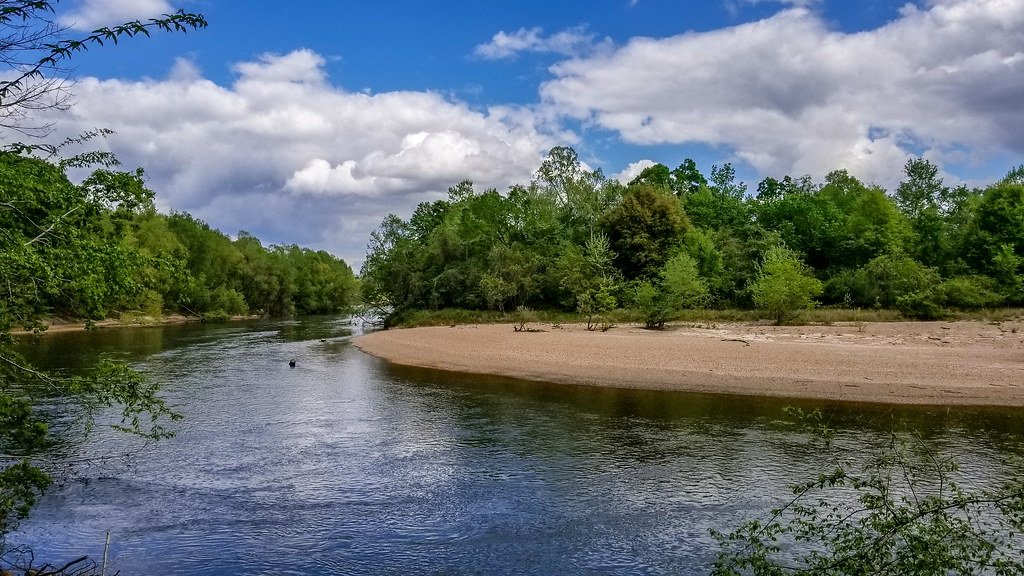
The Bogue Chitto River is a stream in Mississippi and Louisiana that is a tributary of the Pearl River. The river’s name is derived from the Choctaw language, meaning “big creek”, and it passes through the Bogue Chitto State Park in Washington Parish, Louisiana. The river has several variant names, including “Barrio del Buck Chitto”, “Bogachito River”, and “Bogue Chito”.
Pascagoula River
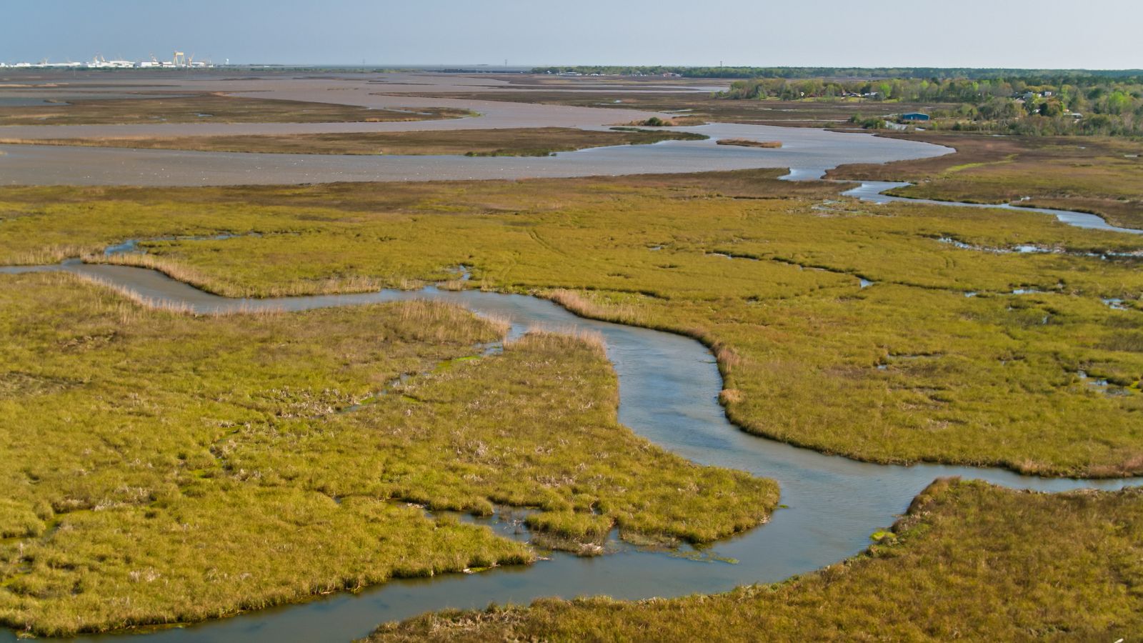
The Pascagoula River is an approximately 80-mile-long river in southeastern Mississippi that drains an area of about 8,800 square miles and flows into the Mississippi Sound of the Gulf of Mexico. It is significant as the only unaffected (or nearly so) river with a discharge of over 10 cubic kilometers per year flowing from the United States into the Gulf of Mexico and has been the focus of conservation efforts to prevent the construction of dams on it.
The river is formed by the confluence of the Leaf and Chickasawhay Rivers in northwestern George County and flows generally southward through swampy bottomlands in George and Jackson Counties, passing Escatawpa and Moss Point before flowing into the sound at Pascagoula.
Tallahala Creek
Tallahala Creek is a river in the southeast part of Mississippi that flows from north to south, joining the Leaf River east of Hattiesburg. The river is known for its scenic beauty and excellent fishing opportunities, particularly for catfish and bass. The Tallahala Creek Watershed Partnership works to promote conservation and sustainable use of the river’s resources.
Yockanookany River

The Yockanookany River is a 78.4-mile-long river in central Mississippi that is a tributary of the Pearl River, which flows to the Gulf of Mexico. The river rises in Choctaw County and flows generally southwest through Attala and Leake counties, past several towns including Weir, McCool, Ethel, and Kosciusko, before flowing into the Pearl River in southwestern Leake County.
The river’s upper course through Choctaw and Attala counties was channelized in 1914 and the middle section was completed in 1928, and downstream of Kosciusko, the river is paralleled by the Natchez Trace Parkway.
Noxubee River
The Noxubee River is a tributary of the Tombigbee River that is about 90.6 miles long, flowing through east-central Mississippi and west-central Alabama in the United States.
The river rises in Choctaw Lake in the Tombigbee National Forest in Choctaw County, Mississippi, and flows generally southeastwardly through several counties, including Winston, Oktibbeha, Noxubee, and Sumter, through the Noxubee National Wildlife Refuge and past the town of Macon, Mississippi before joining the Tombigbee River from the west, about 2 mi west of Gainesville, Alabama. The Noxubee River is part of the watershed of the Mobile River, which flows to the Gulf of Mexico.
Yalobusha River
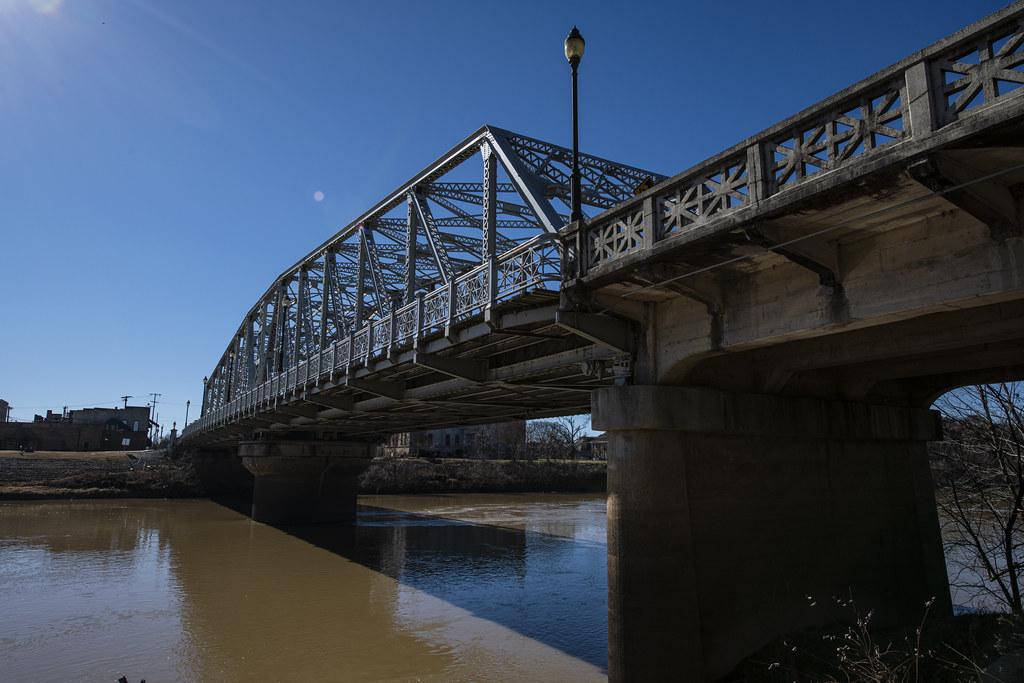
The Yalobusha River is a 165-mile-long river in north-central Mississippi that is a principal tributary of the Yazoo River, via which it is part of the watershed of the Mississippi River. The river rises in Chickasaw County, northwest of the town of Houston, and flows generally west-southwestwardly through Calhoun, Grenada, and Leflore Counties, past the town of Grenada.
At Greenwood, it joins the Tallahatchie River to form the Yazoo River. The Yalobusha River has been straightened and channelized in parts of Calhoun County and is impounded by a U.S. Army Corps of Engineers dam in Grenada County to form Grenada Lake, which collects the Yalobusha’s largest tributary, the Skuna River.
Lakes
Pickwick Lake

Pickwick Lake is a reservoir created by Pickwick Landing Dam as part of the Tennessee Valley Authority that stretches from Pickwick Landing Dam to Wilson Dam and is located in three different states.
The lake is known for its excellent sportfishing areas, including the Wilson Dam tailwater and the discharge basin at the Colbert Fossil Plant. The lakeshore is also home to two state parks, Tennessee’s Pickwick Landing State Park and Mississippi’s J P Coleman State Park, and is the north end of the Tennessee-Tombigbee Waterway, which provides a water transportation route to the Gulf of Mexico.
Yellow Creek Cove is a popular destination for boaters and features the Yellow Creek waterfall and a rope swing off the top of the waterfall.
Sardis Lake
Sardis Lake is a 98,520-acre reservoir on the Tallahatchie River in Lafayette, Panola, and Marshall counties, Mississippi, impounded by Sardis Dam, located nine miles southeast of the town of Sardis.
The dam, which was constructed using a “hydraulic fill” technique, has a maximum height of 117 feet and a storage capacity of 1,512,000 acre-feet of water. Sardis Lake is popular with anglers and has a reputation for its abundant bass and crappie, and other recreational activities include hunting, camping, boating, skiing, swimming, and picnicking.
Grenada Lake

Grenada Lake is a reservoir on the Yalobusha River in Mississippi, constructed by the U.S. Army Corps of Engineers as one of four flood control lakes in North Mississippi to help control flooding along the Yazoo River Basin.
The operation of Grenada Lake began in 1954 and encompasses 90,427 acres with 35,000 acres of this in water during the recreation season, attracting visitors who enjoy water-based and other outdoor recreational activities. While flood control is the primary purpose of the Grenada Lake Project, the lake is also home to Hugh White State Park and several campgrounds.
Enid Lake
Enid Lake is a lake located mostly in Yalobusha County, Mississippi, with parts extending into Panola and Lafayette counties. It holds the world record for white crappie at 5 lbs 3 oz and the Mississippi state record for shortnose gar at 5.83 lb, as well as the state record for spotted gar at 8.1 lb.
Enid Dam, completed in 1952 by the United States Army Corps of Engineers for flood control and recreation, is an earthen dam across the Yocona River that is 110 ft high and 8,400 ft long at its crest. The lake has a surface area of 6,100 acres and storage of 57,600 acre-feet.
Mississippi Sound
The Mississippi Sound is a sound along the Gulf Coast of the United States that runs east-west along the southern coasts of Mississippi and Alabama, from Waveland, Mississippi, to the Dauphin Island Bridge, a distance of about 90 miles.
The sound is separated from the Gulf on its southern side by the Mississippi–Alabama barrier islands, and traditional seafood harvests, particularly shellfish, have been curtailed recently due to declines in numbers and quality caused by pollution and weather-related events. Large portions of the Mississippi Sound reach depths of about 20 feet, and part of the Gulf Intracoastal Waterway traverses the sound with a project depth of 12 feet.
Okatibbee Lake
Okatibbee Dam is an earthen gravity dam in Lauderdale County, Mississippi, constructed in 1968 by the United States Army Corps of Engineers with a height of 72 feet and a length of 6,620 at its crest. It impounds Okatibbee Creek for flood control and municipal drinking water and is owned and operated by the Corps of Engineers.
The reservoir it creates, Okatibbee Lake, has a water surface of 5.9 square miles, about 28 linear miles of shoreline, a maximum capacity of 59,481 acre-feet, and a normal storage capacity of 46,538 acre-feet, and offers recreational activities such as boating, fishing, camping, hunting, and visiting the five parks maintained by the Corps, one full-service campground, and four day-use parks.
Arkabutla Lake
Arkabutla Lake is a reservoir on the Coldwater River in Mississippi, created following the construction of the Arkabutla Dam in 1940. It is one of four Flood Damage Reduction reservoirs in northern Mississippi, with the others being Sardis, Enid, and Grenada lakes.
The Arkabutla Lake project includes 57,250 acres of land and water, and with an annual visitation exceeding 2 million people, it accommodates a wide variety of recreational interests and activities throughout the entire year. However, on May 10, 2023, the United States Army Corps of Engineers warned residents to stay away from the reservoir as “potential breach conditions” had been found at the dam, and the dam is undergoing emergency repairs.

