Amidst the sprawling fields and charming communities of the Heartland, Iowa reveals a masterpiece painted not by artists’ brushes, but by the timeless strokes of its rivers and lakes.
The Hawkeye State, known for its agricultural prowess and welcoming spirit, holds a unique secret—a canvas of waterways that weave through its very essence.
In this article, we’ll delve into the poetic significance of these rivers and lakes, revealing how they’ve shaped the tapestry of Iowa’s history, nourished its communities, and continue to inspire the residents who proudly call themselves Hawkeyes!
Printable Iowa Lakes and Rivers Map
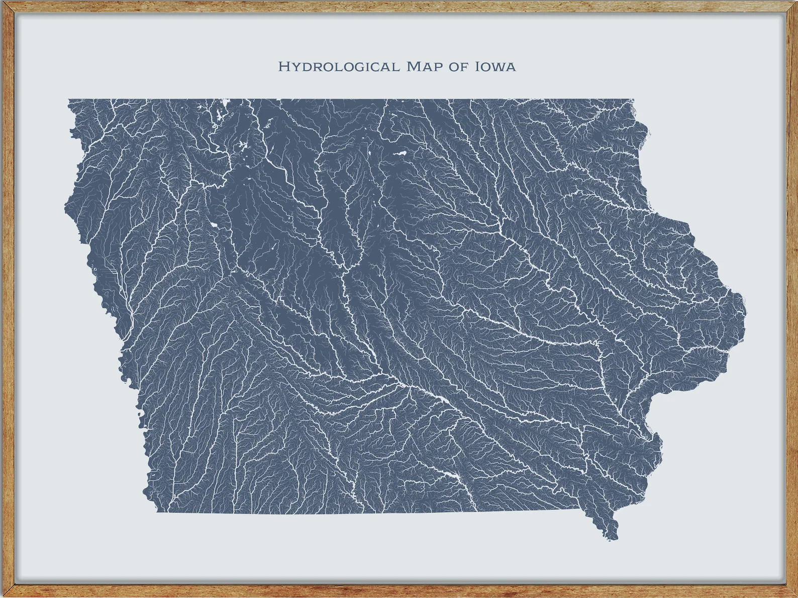
Rivers Map
Des Moines River

The Des Moines River is the largest river flowing across the state of Iowa, approximately 525 miles long from its farther headwaters.
Rising in southern Minnesota, the river flows across Iowa from northwest to southeast, passing from the glaciated plains into the unglaciated hills near the capital city of Des Moines (which is named after the river).
The river forms a short portion of Iowa’s border with Missouri in Lee County, and the Avenue of the Saints (a four-lane highway from St. Paul) to St. Louis passes over this section.
Iowa River
The Iowa River is a tributary of the Mississippi River in the state of Iowa, approximately 323 miles long and open to small rivercraft to Iowa City, about 65 miles from its mouth.
Rising in two branches, the West Branch and East Branch, both of which have their headwaters in Hancock County, the Iowa River then proceeds roughly in a southeast direction, passing through several cities and becomes impounded by the dam in the Coralville Reservoir in Johnson County.
The river is joined by the English River in Washington County and the Cedar River in Louisa County before flowing into the Mississippi.
Little Sioux River
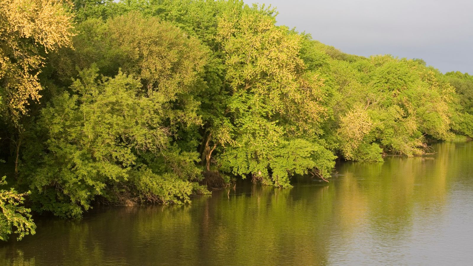
The Little Sioux River rises in southwestern Minnesota near the Iowa border and flows southwest into the Missouri River at Little Sioux.
Its tributaries include the Ocheyedan River, Maple River, and the West Fork of the Little Sioux River, while the river was known as Eaneah-waudepon or “Stone River” to the Sioux Indians.
The Little Sioux River is integral to the Nepper Watershed Project, a major Iowa flood control and soil conservation program that was introduced in 1947.
At Turin, Iowa, this river has a mean annual discharge of 1,761 cubic feet per second.
Chariton River
The Chariton River is a 218-mile-long tributary to the Missouri River in southeast Iowa and northeast Missouri, forming in southeastern Clarke County.
It is dammed at the 11,000-acre Rathbun Reservoir in Appanoose County, Iowa, and then flows 30 miles before entering Missouri where it forms the boundary between the Putnam and Schuyler counties.
The river has been called Missouri’s “Grand Divide” because streams west of the Chariton flow into the Missouri and streams east of it flow into the Mississippi River, entering the Missouri River in Chariton County.
Turkey River

The Turkey River is a 153-mile-long tributary of the upper Mississippi River, with its main branch rising in Howard County, Iowa, near the city of Cresco.
Flowing from northwest to southeast, the river passes through or near several cities before entering the Mississippi south of Guttenberg and across from Cassville, Wisconsin.
The Turkey River and its tributaries cover several counties, including Chickasaw, Winneshiek, Fayette, Clayton, Delaware, and Dubuque, with the watershed covering 1,083,200 acres.
Raccoon River

The Raccoon River is a 30.8-mile-long tributary of the Des Moines River in central Iowa, part of the watershed of the Mississippi River. However, as measured using the longest of its three forks, its length increases to 226 miles.
The river runs through an intensely cultivated area of croplands and livestock farming, receiving Tile drainage from slow-draining rich natural bottomland.
The Des Moines metropolitan area has been obtaining its drinking water from the Raccoon River since the 19th century.
However, during the Great Flood of 1993, the Raccoon River flooded the water treatment facility of Des Moines, shutting off the city’s supply of drinking water for a period of time.
Cedar River

The Cedar River is a 338-mile-long river in Minnesota and Iowa, taking its name from the red cedar trees growing there and originally called the Red Cedar River by the Mequaci.
It is a tributary of the Iowa River, which flows to the Mississippi River, and was an important commercial waterway during the 19th century.
The surrounding region is known as the Cedar River Valley, and the stream is young geologically, with the underlying bedrock exposed only in places where the glacial material has been removed.
Wapsipinicon River
![]()
The Wapsipinicon River, locally known as the Wapsi, is a tributary of the Mississippi River, approximately 300 miles long, starting near the southeastern border of Minnesota and running through northeastern Iowa.
It drains a rural farming region of rolling hills and bluffs north of Waterloo and Cedar Rapids, defining the western boundary of the Driftless Area.
The river rises in Mower County, Minnesota, and enters Iowa in northern Mitchell County, flowing generally southeast across rural Chickasaw, Bremer, and Buchanan counties, past Independence and Anamosa before joining the Mississippi from the west approximately 10 miles southwest of Clinton.
Boyer River
The Boyer River is a 118-mile-long tributary of the Missouri River in western Iowa, named after a settler who hunted and trapped in the watershed before the time of Lewis and Clark.
Most reaches of the river’s course have been straightened and channelized. Explorers, including Lewis and Clark, John James Audubon, and Prince Maximilian zu Wied-Neuwied, navigated through the region near the mouth of the Boyer as they traveled up the Missouri River, which is now part of the Boyer Chute National Wildlife Refuge.
This area was originally an island of sand and sediment deposited in the Missouri River by the Boyer River, and the Missouri eventually changed its course, eroding a major channel (chute) through the sediment, known as Boyer Chute, which was the preferred channel used by explorers and traders.
East Nishnabotna River
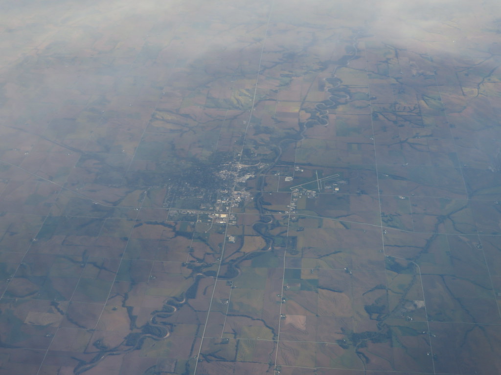
The East Nishnabotna River rises in southwestern Carroll County and flows through several counties before reaching Red Oak and Riverton.
At Red Oak, the river’s average discharge is 506 cubic feet per second, making it an essential source of water for the surrounding areas.
The East Nishnabotna River is a significant tributary of the Missouri River, and its waters are used for irrigation and agriculture.
West Nishnabotna River
The West Nishnabotna River rises in southwestern Carroll County and collects near Harlan and the East Branch West Nishnabotna River near Avoca, both of which rise in southwestern Carroll County.
The West Nishnabotna River averages 747 cubic feet per second at Randolph, Iowa, and was the topic of a humorous song “Four Wheel Drive” on the 1975 C.W. McCall album Wolf Creek Pass.
Thompson River
The Thompson River is the largest tributary of the Grand River in the central United States, flowing from southern Iowa into Missouri.
In Iowa, it is known as the Grand River and rises in the agricultural lands of Adair County, a few miles northeast of Greenfield, before flowing east and then bending south.
The river crosses Interstate 35 and enters Missouri, where much of its course is channelized, and the Weldon River joins at the town of Trenton, the largest settlement along the Thompson River.
The Thompson River meanders south for another 25 miles, joining the Grand River just north of Utica in Livingston County, and its drainage basin is roughly 1,850 square miles, of which 1,111 square miles are in Missouri.
Skunk River

The Skunk River is a 93-mile-long tributary of the Mississippi River in the state of Iowa, rising in two branches, the South Skunk and the North Skunk.
The South Skunk, which is 185 miles long, flows roughly due southward, to the west of Interstate 35, and passes through the city of Ames before turning southeasterly.
The North Skunk, which is 129 miles long, has its headwaters in Marshall County and joins the South Skunk in Keokuk County. The Skunk River then proceeds southeastward and flows into the Mississippi about five miles south of the city of Burlington.
English River
The English River is a tributary of the Iowa River in southeastern Iowa, with a main stem of 37.4 miles long, and a total length of 89.2 miles, including its longest headwaters tributary, the North English River.
The Deep River is a minor tributary of the English River, and the towns of North English, South English, and Deep River are named for the English and Deep rivers.
The English River flows for much of its course in the north and south forks, which join in extreme northwestern Washington County, and generally flows east for about 37 miles past the town of Riverside before joining the Iowa River in northeastern Washington County, 12 miles south of Iowa City.
Maquoketa River
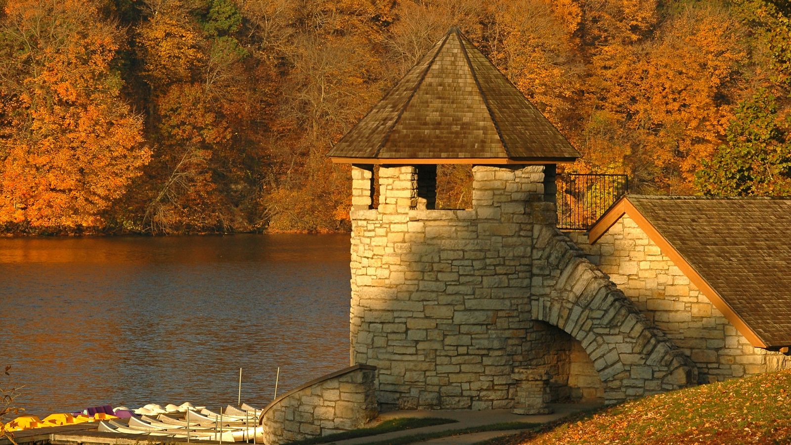
The Maquoketa River is a tributary of the Mississippi River, approximately 150 miles long, in northeastern Iowa. Its watershed covers 1,694 square miles within a rural region of rolling hills and farmland southwest of Dubuque.
The river and its tributaries mark the border of the Driftless Area of Iowa, with the areas east of it not having been covered by ice during the last ice age, and its name derives from Maquaw-Autaw, which means “Bear River” in Meskwaki.
The Little Maquoketa River is another distinct direct tributary of the Upper Mississippi River meeting the Big River north of Dubuque, and both rivers are vital sources of water for the surrounding areas.
Shell Rock River
The Shell Rock River is a 113-mile-long tributary of the West Fork Cedar River in southern Minnesota and northern Iowa, flowing from Albert Lea Lake in Freeborn County, and soon entering Iowa, flowing southeast.
The river joins the West Fork of the Cedar River in Black Hawk County, about 6 miles north-northwest of Cedar Falls. At Rockford, Iowa, it collects the Winnebago River from the west.
The Shell Rock River is an important source of water for the surrounding areas and is part of the Mississippi River watershed via the Cedar and Iowa rivers.
Boone River
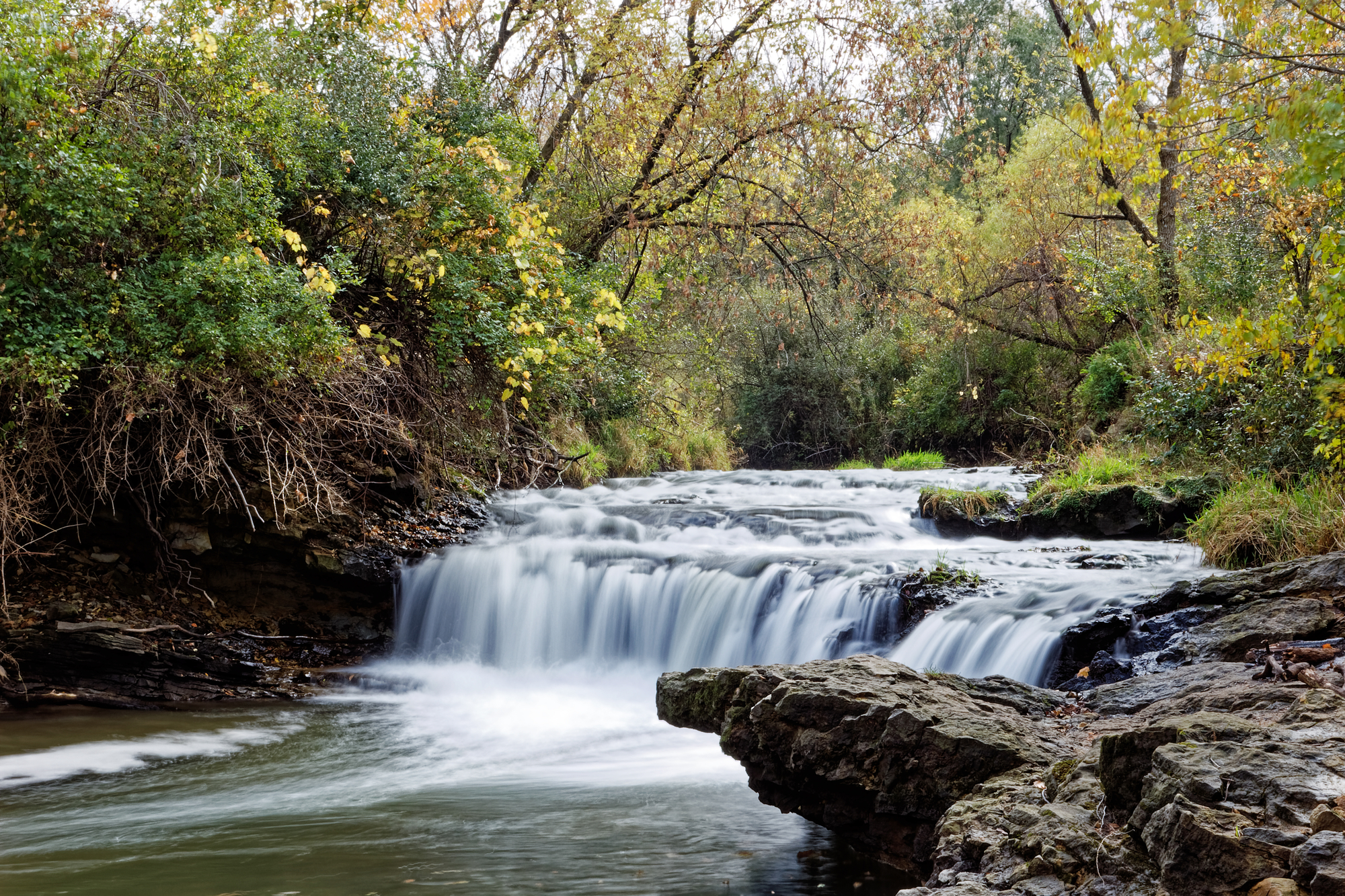
The Boone River is a 111-mile-long tributary of the Des Moines River in north-central Iowa, rising near Britt in western Hancock County and flowing generally southwardly through Wright, Hamilton, and Webster counties, past Goldfield and Webster City.
It drains an area of 895 square miles and is part of the watershed of the Mississippi River via the Des Moines River, with tributaries also draining portions of Kossuth and Humboldt counties.
The lower 26 miles of the Boone River from Webster City to its mouth have been designated as a “Protected Water Area” by the Iowa Department of Natural Resources, allowing for canoeing and fishing for smallmouth bass, channel catfish, walleye, northern pike, and flathead catfish.
Floyd River
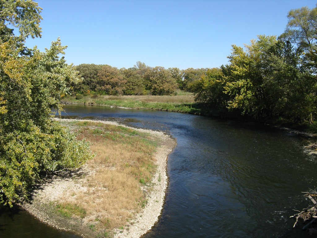
The Floyd River is a 112-mile-long tributary of the Missouri River in northwestern Iowa, named after Charles Floyd, a member of the Lewis and Clark Expedition.
It rises in northwestern O’Brien County near the town of Sanborn and flows southwest through Sioux, Plymouth, and Woodbury counties, past several towns such as Sheldon, Hospers, Alton, Le Mars, Merill, and Hinton.
The Floyd River has a history of disastrous flooding but has since been the focus of an intensive flood control project, with its lower channel through Sioux City being straightened, channelized, lined with riprap, and banked by a high earthen levee.
However, the river is also the site of frequent fish kills caused by the runoff of massive amounts of animal waste from farm feedlots into the river.
Maple River
The Maple River is a 100-mile-long river in western Iowa, rising in Buena Vista County and flowing generally southwest through several towns such as Ida Grove, Battle Creek, Danbury, and Mapleton before joining with the Little Sioux River near Turin.
The river was named after the soft maple trees along its banks, and much of it has been channelized. The Maple River is an important source of water for the surrounding areas, and its banks provide habitat for a variety of wildlife.
South Raccoon River
The South Raccoon River is a 72-mile-long river in Iowa, rising in northeastern Audubon County and flowing generally southeastwardly through Guthrie and Dallas counties, past the town of Guthrie Center.
After the Middle Raccoon River flows into the South Raccoon River, a flow gauge operated jointly by the United States Army Corps of Engineers (Rock Island District), the United States Geological Survey (Iowa District), and the Iowa Department of Transportation provides data about potential flooding threats.
The South Raccoon River is an important source of water for the surrounding areas and is home to a variety of fish species, including bass, catfish, and carp.
Middle Nodaway River
The Middle Nodaway River is a 60.5-mile-long river in Iowa, rising in Adair County south of Casey and flowing southwest past Greenfield, Fontanelle, and Carbon to join the West Nodaway just below Villisca, Iowa.
The East and West Nodaway join to form the Nodaway River four miles north of the Iowa-Missouri border, and the river enters Missouri near Clearmont, Missouri.
The Middle Nodaway River is an important source of water for the surrounding areas and is home to a variety of fish species, including bass, catfish, and carp.
Lakes Map
Rathbun Lake
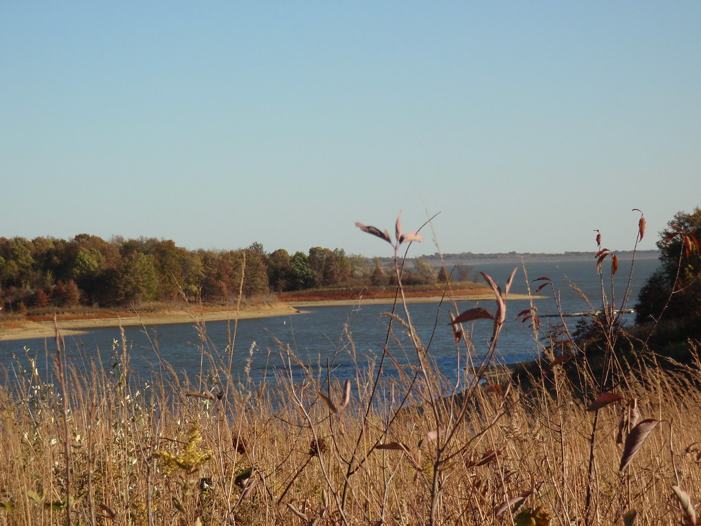
Rathbun Lake is one of the largest lakes in Iowa, located at Chariton River mile marker 142, approximately 7 miles north of Centerville, Iowa, in Appanoose County.
The lake was constructed and is operated by the U.S. Army Corps of Engineers to control flooding, provide recreation opportunities, abate stream pollution, fish and wildlife enhancement, and maintain minimum stream flow on the Chariton, Missouri, and Mississippi Rivers.
Camping, sightseeing, fishing, boating, picnicking, and hunting are favorite activities on and near Rathbun Lake, with the lake’s fish and wildlife resources providing ample opportunities for these sports.
The Rathbun Yacht Club is also located at the lake, which is one of the best sailing lakes in Iowa due to its size and prevailing winds.
Lake Red Rock

Lake Red Rock, also known as Red Rock Reservoir, is the largest lake in Iowa, formed by the Red Rock Dam on the Des Moines River, about 41 miles southeast of the city of Des Moines.
The dam was completed in 1969 as a flood control project by the United States Army Corps of Engineers, and the lake is essentially confined to Marion County.
The damface is located a few miles west and south of Pella, and a few miles northeast of Knoxville. Lake Red Rock is a popular destination for boating, fishing, camping, hiking, and other outdoor activities.
Saylorville Lake
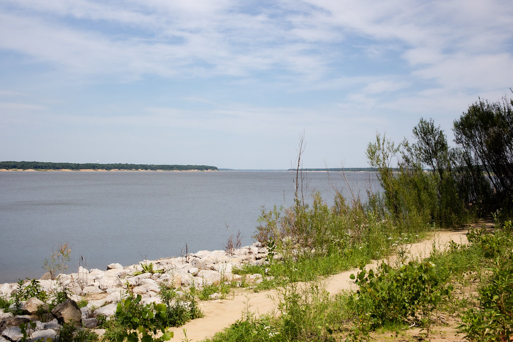
Saylorville Lake is a reservoir on the Des Moines River in Iowa, located 11 miles upstream from the city of Des Moines and constructed as part of a flood control system for the Des Moines River and to aid in controlling flood crests on the Mississippi.
The lake and dam are owned and operated by the U.S. Army Corps of Engineers, Rock Island District, and cover an area of 5,950 acres at its normal level.
The lake is utilized for many recreational activities, including boating, swimming, camping, hunting, fishing, hiking, biking, and disc golf, with several recreation areas, campgrounds, and boat ramp facilities operated by the Corps of Engineers around the lake.
West Okoboji Lake

West Okoboji Lake, part of the Iowa Great Lakes chain, is a natural body of water in Dickinson County, Iowa, covering approximately 3,847 acres and known for its exceptional water quality and color.
The lake’s Dakota-language name was Minnetonka, meaning “great waters,” and it has long been noted for its blue waters, with comparisons to Lake of Zurich.
While the statement that West Okoboji is “one of only three blue water lakes in the world” is a myth, the lake’s beauty and recreational opportunities make it a popular destination for residents and visitors alike.

