Amid the colonial architecture and intellectual vigor that define Massachusetts, there exists a less explored yet equally captivating dimension – the intricate network of rivers and lakes that crisscross its diverse landscapes. The Bay State, known for its pivotal role in American history and cultural vibrancy, holds within its heart a mosaic of waterways that mirrors its legacy of innovation and resilience.
Like the pages of a forgotten journal, Massachusetts’ rivers and lakes whisper stories of settlement, progress, and the passage of time. In this article, we embark on a journey that follows the sinuous trails of Massachusetts’ rivers and gazes upon the reflective surfaces of its lakes.
Join us as we unravel the significance of these aqueous threads, uncovering their contributions to the state’s identity, economy, and natural beauty, and illuminating the intricate interplay between water and history that has shaped the Bay State’s unique narrative.
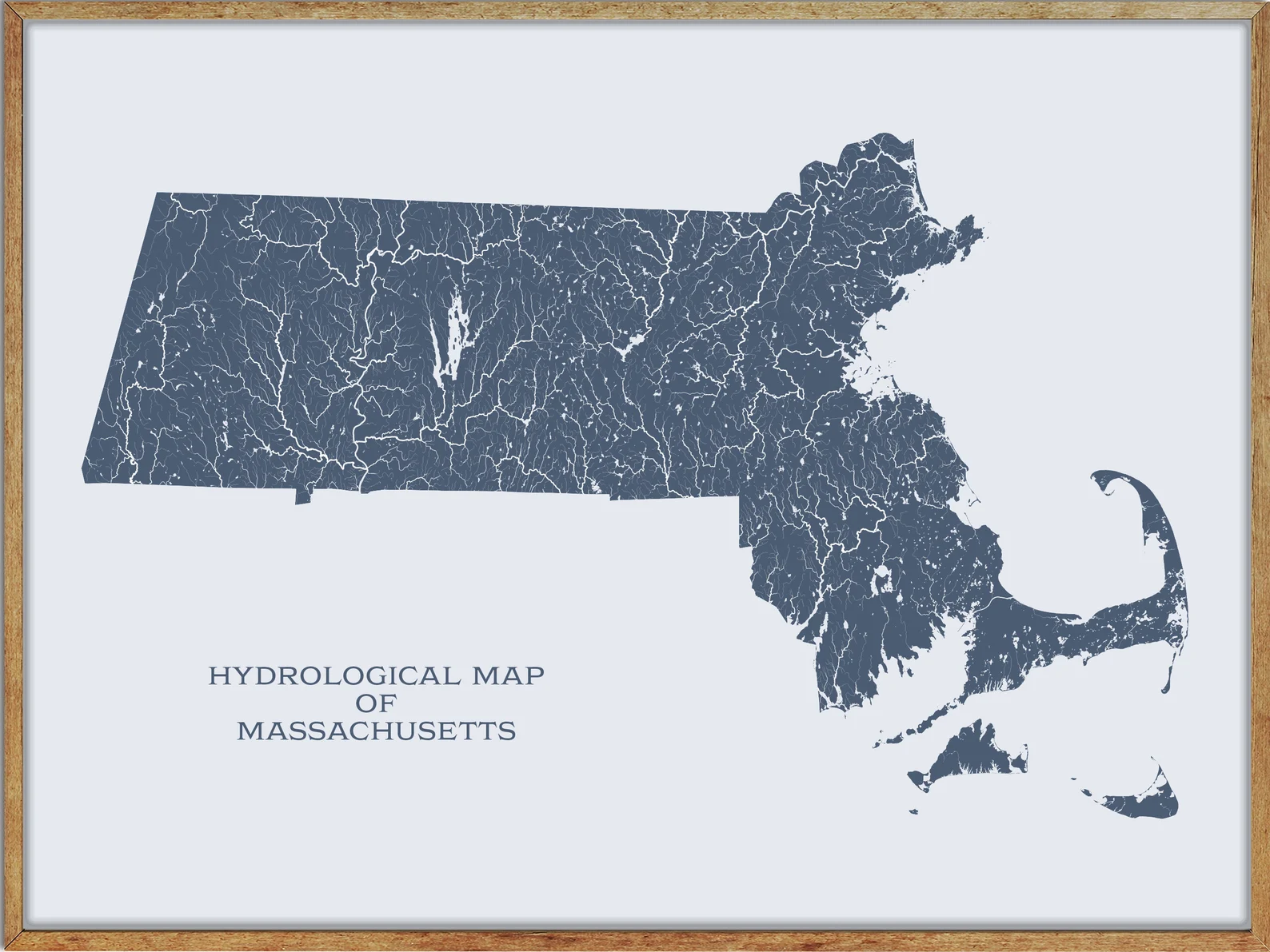
Printable Massachusetts Lakes and Rivers Map
Rivers
Housatonic River
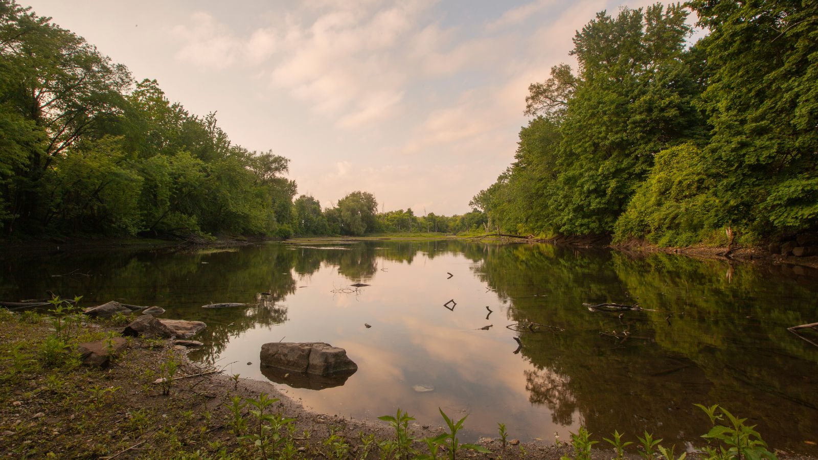
The Housatonic River is a 149-mile-long river in western Massachusetts and western Connecticut that flows south to southeast, draining about 1,950 square miles of southwestern Connecticut into Long Island Sound.
Its watershed is just to the west of the watershed of the lower Connecticut River, and its major tributaries in Massachusetts are the Williams River, Green River, and Konkapot River. Crossing south into Connecticut, the Housatonic’s major tributaries are the Blackberry River, Salmon Creek, Ten Mile River, Still River, Shepaug River, Pomperaug River, and Naugatuck River, with the Naugatuck River being the Housatonic’s largest tributary.
Deerfield River
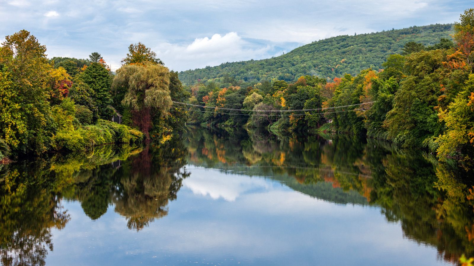
The Deerfield River is a 76-mile-long river that runs from southern Vermont through northwestern Massachusetts to the Connecticut River. It is the Connecticut River’s second-longest tributary in Massachusetts and historically influential in the settlement of western Franklin County, Massachusetts.
The river is heavily dammed, with a dam almost every 7 miles for its entire length, and features popular tourist attractions like the glacial potholes and the Bridge of Flowers in Shelburne Falls.
Westfield River
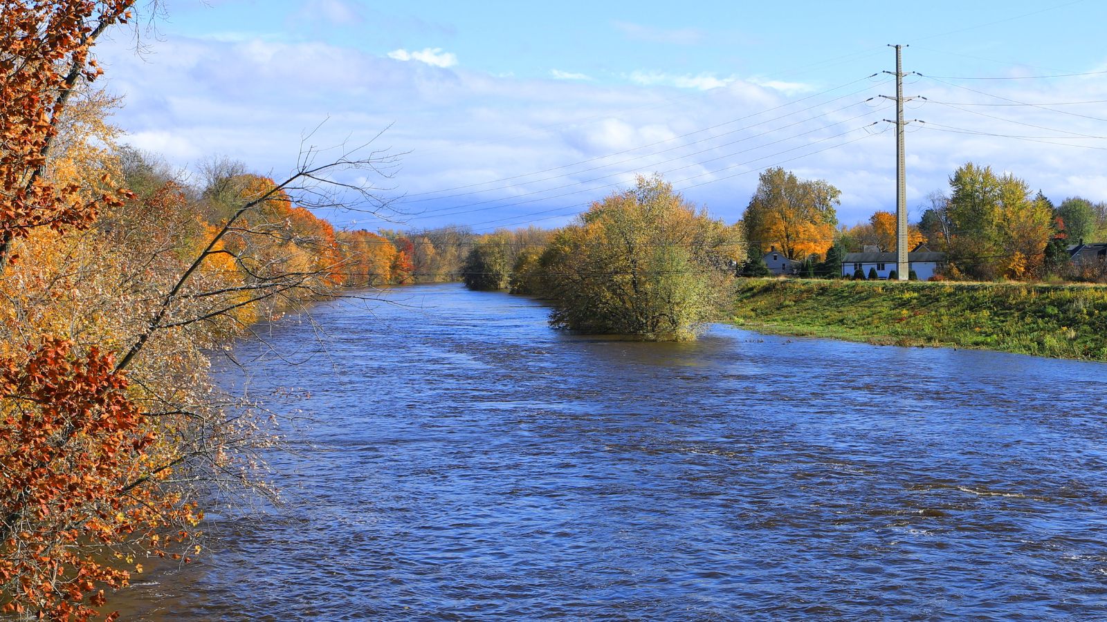
The Westfield River is a major tributary of the Connecticut River located in the Berkshires and Pioneer Valley regions of western Massachusetts. Known for its whitewater rapids and scenic beauty, the Westfield River provides over 50 miles of whitewater canoeing and kayaking, in addition to one of the largest roadless wilderness areas remaining in the Commonwealth.
Despite being heavily polluted during the mid-20th century, the river is now clean enough for swimming and is a state and locally-managed river featuring native trout fishing and rugged mountain scenery in the context of a historical mill town settlement at Westfield.
Charles River

The Charles River, also known as the River Charles or simply the Charles, is an 80-mile-long river in eastern Massachusetts that flows northeast from Hopkinton to Boston along a highly meandering route, passing through 23 cities and towns before reaching the Atlantic Ocean.
Despite its relatively large drainage area, the Charles River drops only 350 feet from source to sea and contains more than 8,000 acres of protected wetland, referred to as Natural Valley Storage, which is important in preventing downstream flooding and providing natural habitats to native species. The river is also home to several universities, including Harvard University, Brandeis University, Boston University, and the Massachusetts Institute of Technology.
Blackstone River

The Blackstone River is a 48-mile-long river in Massachusetts and Rhode Island that flows through several towns and cities. Its long history of industrial use has left a legacy of pollution, leading the United States Environmental Protection Agency to characterize it in 1990 as “the most polluted river in the country concerning toxic sediments.”
The river is formed in Worcester, Massachusetts, by the confluence of the Middle River and Mill Brook and flows roughly southeast through several towns before becoming tidal and flowing into the Seekonk River just north of Providence.
Merrimack River
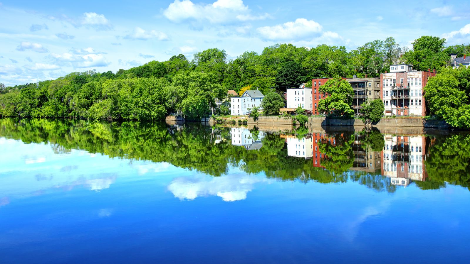
The Merrimack River is a 117-mile-long river in the northeastern United States that rises at the confluence of the Pemigewasset and Winnipesaukee rivers in Franklin, New Hampshire and flows southward into Massachusetts before emptying into the Gulf of Maine at Newburyport.
It is an important regional focus in both New Hampshire and Massachusetts, with the central-southern part of New Hampshire and most of northeast Massachusetts known as the Merrimack Valley. The river has also been honored with several U.S. naval ships named USS Merrimack and USS Merrimac, and is known for its appearance in the early American literary classic A Week on the Concord and Merrimack Rivers by Henry David Thoreau.
Concord River

The Concord River is a 16.3-mile-long tributary of the Merrimack River in eastern Massachusetts that begins in Middlesex County and flows generally north, joining the Merrimack River from the south on the eastern side of Lowell.
The river has a rich history, having been called the Musketaquid or “grass-grown” river by Native Americans due to its sluggish waters and aquatic vegetation, and was the scene of an important early battle of the American Revolutionary War at the Old North Bridge in Concord. The bridge, which is a reproduction, is now preserved by the National Park Service and is a popular tourist attraction.
Chicopee River
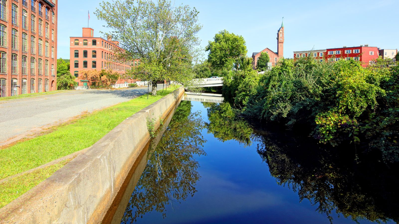
The Chicopee River is an 18-mile-long tributary of the Connecticut River in the Pioneer Valley, Massachusetts, known for its fast-moving water and extraordinarily large basin, which is the Connecticut River’s largest tributary basin.
The river originates in a Palmer, Massachusetts village called Three Rivers as a confluence of the Ware, Quaboag, and Swift rivers, passing through Wilbraham, Ludlow, and the Indian Orchard neighborhood of Springfield before forming the border between Springfield and Chicopee and flowing in a sharply curving path through the city of Chicopee and into the Connecticut River.
Ware River
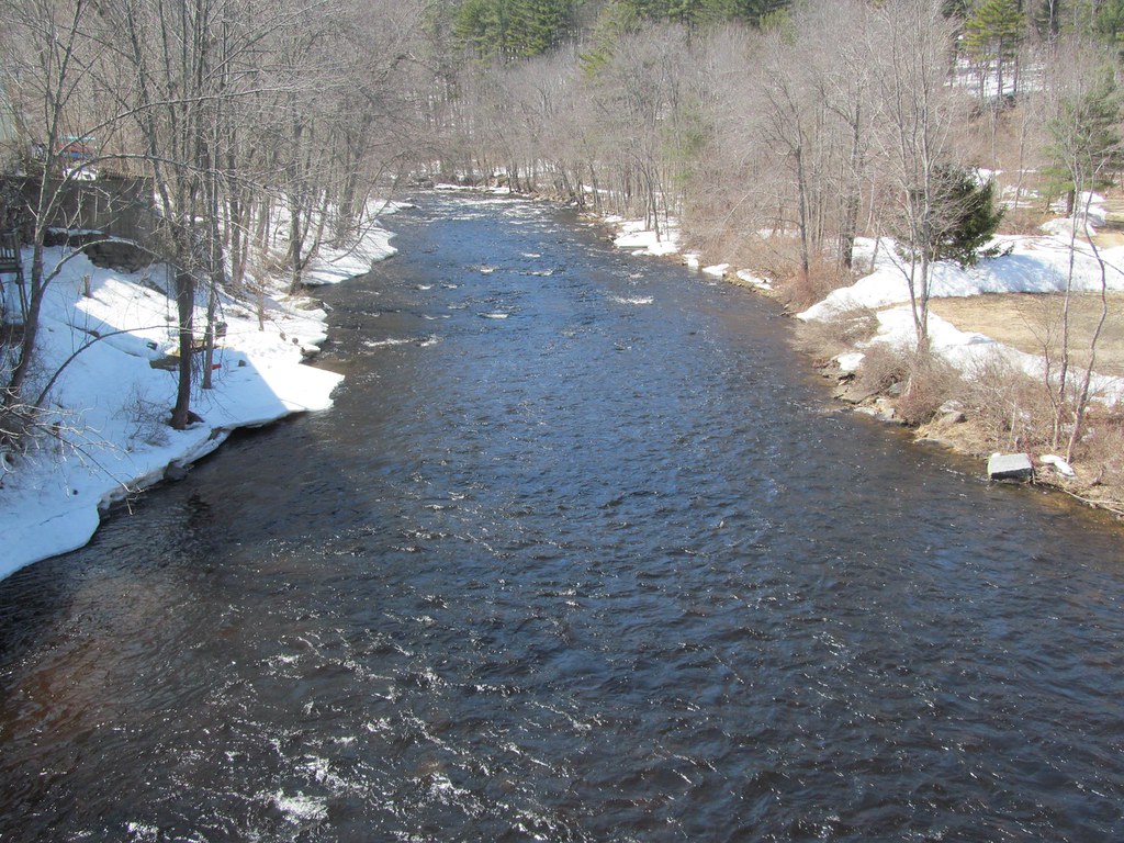
The Ware River is a 35.4-mile-long river in central Massachusetts that has two forks, its West Branch beginning in Hubbardston and its East Branch beginning in Westminster. The river flows southwest through the middle of the state, joining the Quaboag River at Three Rivers, Massachusetts, to form the Chicopee River on its way to the Connecticut River.
The Ware River is part of the Massachusetts Water Resources Authority drinking water system serving the greater Boston area, and there is also a flood control dam on the river in Hubbardston and Barre, constructed and maintained by the US Army Corps of Engineers.
Taunton River
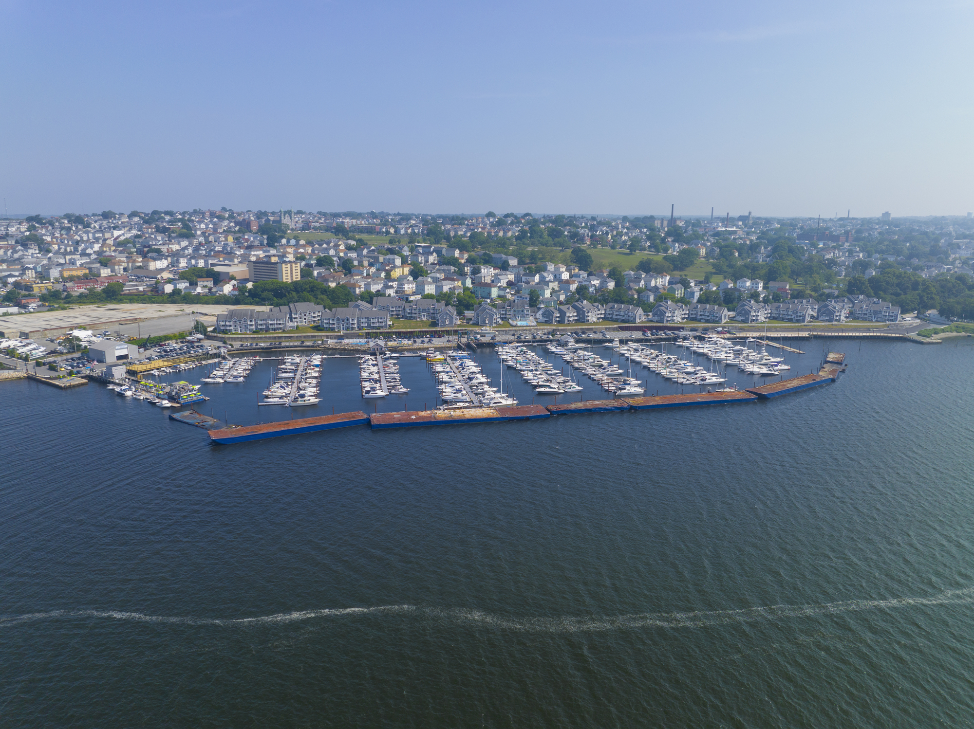
The Taunton River, historically known as the Taunton Great River, is a 37-mile-long river in southeastern Massachusetts that arises from the confluence of the Town River and Matfield River in Bridgewater, and meanders through several towns before joining Mount Hope Bay, an arm of Narragansett Bay.
The river has a large watershed of 562 square miles, including the Hockomock Swamp, the largest freshwater wetland in the state, and is one of the flattest rivers in New England, dropping only about twenty feet in elevation over its length. It is also the longest coastal river in New England without dams and is the principal river that makes up the Taunton River Watershed.
Quaboag River

The Quaboag River is a 25.7-mile-long river in Massachusetts that begins at Quaboag Pond in Brookfield and flows west to the village of Three Rivers at an elevation of 290 feet.
It passes through the towns of Brookfield, West Brookfield (where Lake Wickaboag drains into it), and Warren before joining the Ware River and Swift River in Three Rivers to form the Chicopee River, making it part of the Chicopee River Watershed.
Hoosic River

The Hoosic River, also known as the Hoosac or Hoosick, is a 76.3-mile-long tributary of the Hudson River in the northeastern United States that flows through Massachusetts, Vermont, and New York. The river’s name has different spellings due to varying transliterations of its original Algonquian name, which can be translated as “the beyond place” or “the stony place.”
The Hoosic River watershed is formed from tributaries originating in the Berkshire Hills of Massachusetts, the Green Mountains of Vermont, and the Taconic Mountains, and the river passes through several towns and cities, including Cheshire, Adams, North Adams, Williamstown, Pownal, Petersburgh, Hoosick, Valley Falls, and Schaghticoke, before terminating at its confluence with the Hudson River.
Nashua River
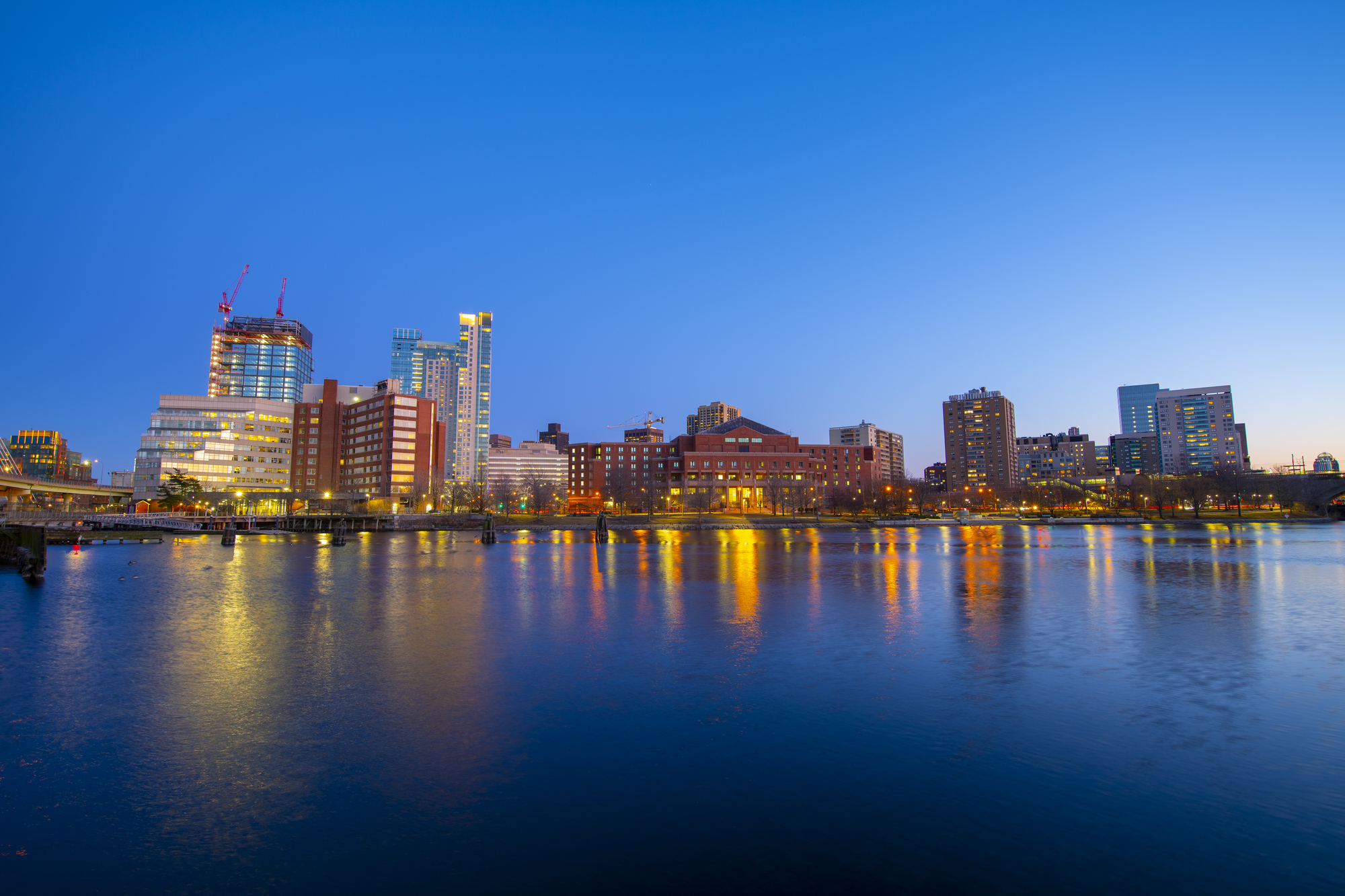
The Nashua River is a 37.5-mile-long tributary of the Merrimack River in Massachusetts and New Hampshire that is formed by the confluence of the North Nashua River and South Nashua River in eastern Worcester County, Massachusetts. It flows generally north-northeast past Groton to join the Merrimack at Nashua, New Hampshire.
The North Nashua River rises west of Fitchburg and Westminster and flows about 30 miles generally southeast past Fitchburg before joining the South Nashua River, which is shown on USGS topographic maps as the main stem of the Nashua River. The Nashua River watershed occupies a major portion of north-central Massachusetts and a much smaller portion of southern New Hampshire.
Assabet River
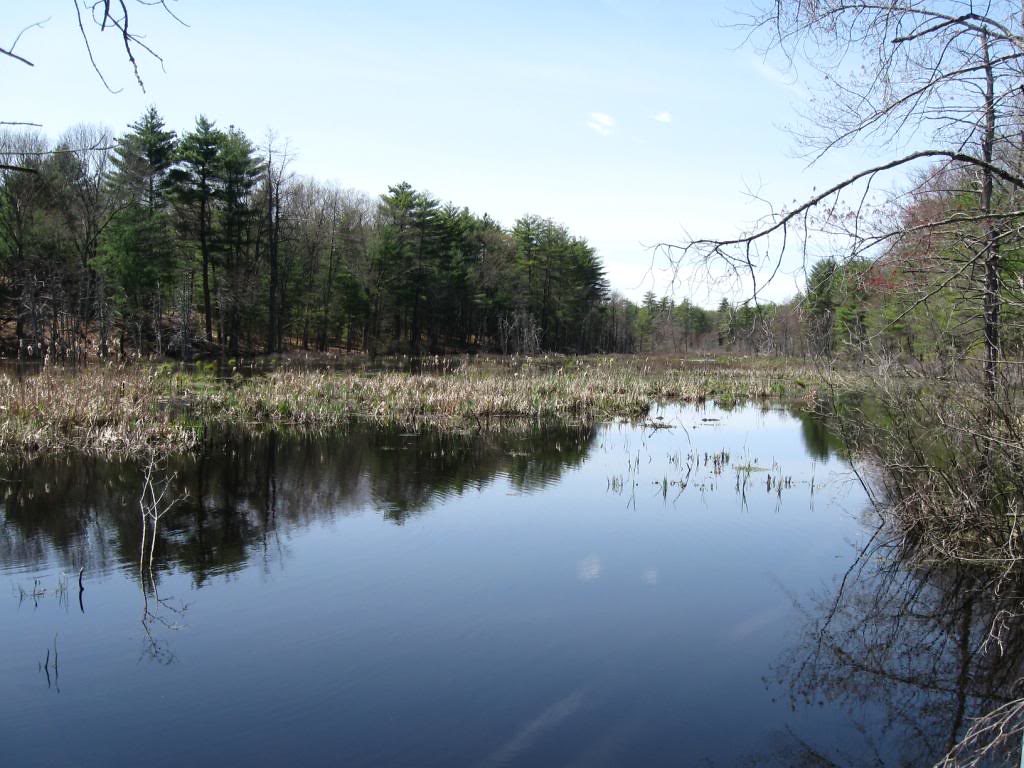
The Assabet River is a small river located about 20 miles west of Boston, Massachusetts, that is 34.4 miles long. It rises from the Assabet Reservoir in Westborough, Massachusetts, and flows northeast before merging with the Sudbury River at Egg Rock in Concord, Massachusetts, to become the Concord River.
The Organization for the Assabet, Sudbury, and Concord Rivers is a non-profit organization dedicated to the preservation, protection, and enhancement of the natural and recreational features of these three rivers and their watershed. The Concord River, to which the Assabet River contributes, is a tributary of the Merrimack River, making it part of the larger Merrimack River watershed.
Ipswich River

The Ipswich River is a 35-mile-long small river in northeastern Massachusetts that held significant importance in early colonial migrations inland from the ocean port of Ipswich.
The river provided safe harborage at offshore Plum Island Sound to early Massachusetts subsistence farmers, who were also fishermen, and a part of the river forms town boundaries and divides Essex County on the coast from the more inland Middlesex County. Historically, the settlement of Essex County began at the oldest community there, the tiny seaport of Agawam, which was later renamed Ipswich and was one of the oldest settlements in the Massachusetts Bay Colony.
Lakes
Lake Cochituate

Lake Cochituate is a recreational resource located in Natick, Wayland, and Framingham, Massachusetts, consisting of three linked ponds known as North Pond, Middle Pond, and South Pond. Originally a reservoir serving Boston, it is now home to Cochituate State Park and the MathWorks Lakeside campus.
The Cochituate Rail Trail runs along the lake’s former track’s right-of-way, from downtown Natick to Saxonville, a section of Framingham. The lake’s watershed, part of the Sudbury River watershed, encompasses 17 square miles in Natick, Wayland, Framingham, Ashland, and Sherborn, and is part of the Concord River and Merrimack River watersheds.
Lake Quinsigamond
Lake Quinsigamond, also known as Long Pond, is a 4-mile-long body of water situated between Worcester and Shrewsbury in Worcester County, Massachusetts, with a surface area of approximately 772 acres and a depth between 50 and 85 feet.
The lake hosts eight islands, with the majority being privately owned, and two islands are connected to land via a bridge, while the largest island, Drake Island, is still state-owned. Water from the lake empties into the Quinsigamond River in the Blackstone Valley.
Lake Chaubunagungamaug

Lake Chaubunagungamaug, also known as Webster Lake, is a 1,442-acre lake located in the town of Webster, Massachusetts, near the Connecticut border. Since 1921, the lake has also been known by a much longer name having 45 letters comprising fourteen syllables: Lake Chargoggagoggmanchauggagoggchaubunagungamaugg, which has become famous beyond Central Massachusetts for having the longest name of any geographic feature in all of the United States.
The lake’s name comes from Loup, an Algonquian language, and is often said to mean “Fishing Place at the Boundaries—Neutral Meeting Grounds,” although a more fitting translation is “lake divided by islands,” according to anthropologist Ives Goddard.
Lake Monomonac
Lake Monomonac is a 594-acre artificial lake that straddles the border between Rindge, New Hampshire, and Winchendon, Massachusetts. It was created from a small pond in New Hampshire by the construction of dams on the North Branch of the Millers River, a part of the Connecticut River watershed.
The lake has a maximum recorded depth of 22 feet and an average depth of 10 feet, and it is classified as a warmwater fishery with observed species including smallmouth and largemouth bass, black crappie, chain pickerel, white perch, pumpkinseed, bluegill, horned pout, and green sunfish.
Lake Onota

Onota Lake is a 617-acre lake located entirely in the city of Pittsfield, Massachusetts, and is divided into north and south basins due to an old roadway that marked the north end with minimal water exchange between them.
The lake empties via Onota Brook, which flows southeast into the West Branch of the Housatonic River in Pittsfield, and it was once popular among the “cottagers” of the late 19th century and early 20th century who built large summer mansions along its shores. Today, Onota Lake is popular for fishing, swimming, water skiing, jet skiing, and sailing, and it is home to the famous Pittsfield event “Live on the Lake,” a summer concert series consisting of local bands.
Lake Ashmere
Lake Ashmere, also known as Ashmere Lake, is a small lake located in rural Berkshire County of Massachusetts, in Peru and Hinsdale. The lake is owned by the Commonwealth of Massachusetts and is primarily used for recreational purposes, with three summer camps located on the lake, including Camp Danbee, a private girls camp, and Camp Taconic, a private co-ed camp, on the south and north sides of the lake, respectively.
A third summer camp, Camp Ashmere, a co-ed church-operated camp located on the south side of the lake, closed after the Summer 2018 season and was sold to the new Berkshire Lake Camp.
Lake Attitash

Lake Attitash is a 360-acre lake located on the border of Merrimac and Amesbury, Massachusetts, and constitutes at least a portion of Amesbury’s water supply, with beaches on both the Amesbury and Merrimac shores.
The lake is popular with seasonal tourists and residents and is normally safe for swimming, while boats are allowed on the lake. Although primarily known as one of the best northern pike waters in the Northeast District, the lake also supports largemouth bass and chain pickerel fishing during the spring and fall months, and ice fishermen avidly pursue the pike resource in winter.

