In the heart of the Deep South, where moss-draped trees and vibrant cultures intertwine, Louisiana weaves a tale as rich and intricate as the swamps that define its landscape. Beyond the iconic sounds of jazz and the aroma of Creole cuisine, the state’s rivers and lakes hold a quieter but equally enchanting allure.
Like the secrets whispered along bayou waters, Louisiana’s aquatic wonders carry stories of exploration, survival, and the indomitable spirit of its people. In this article, we embark on a journey that drifts along the currents of Louisiana’s rivers and immerses in the mirrored tranquility of its lakes.
Join us as we unveil the magic held within these aquatic realms, exploring their ecological importance, cultural significance, and their role as both cradle and crucible of the Bayou State’s captivating narrative.
Printable Louisiana Lakes and Rivers Map
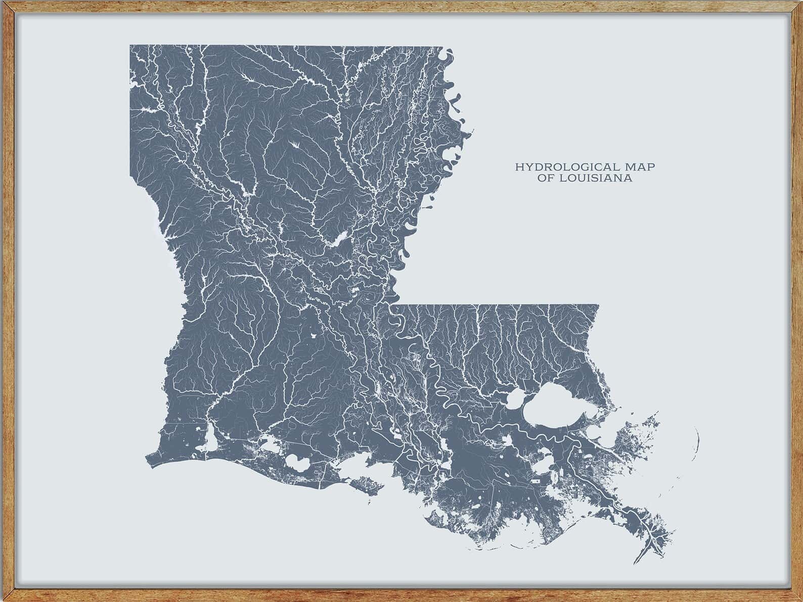
Rivers
Pearl River
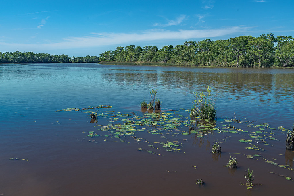
The Pearl River is a 444-mile-long river that forms in Neshoba County, Mississippi, from the confluence of Nanih Waiya and Tallahaga creeks, and flows through Mississippi and Louisiana.
The lower part of the river forms part of the boundary between the two states and provides habitat for many species of wildlife, including sturgeon and black bears. The river watershed contains large areas of bottomland hardwood swamp and cypress swamp and is considered to be one of the most critical areas of natural habitat remaining in Louisiana.
Ouachita River
The Ouachita River is a 605-mile-long river that runs through Arkansas and Louisiana, joining the Tensas River to form the Black River near Jonesville, Louisiana.
The river begins in the Ouachita Mountains near Mena, Arkansas, and flows east into Lake Ouachita, a reservoir created by Blakely Mountain Dam, before passing through Lake Hamilton and Lake Catherine. The river then flows south through Arkansas, collecting the tributary waters of various bayous and rivers, before entering Louisiana and eventually joining the Tensas River.
Boeuf River
The Boeuf River is a 216-mile-long river that flows near Enterprise, Louisiana, and is a tributary of the Ouachita River. The river’s name comes from the French word “bœuf,” meaning “ox.”
Calcasieu River
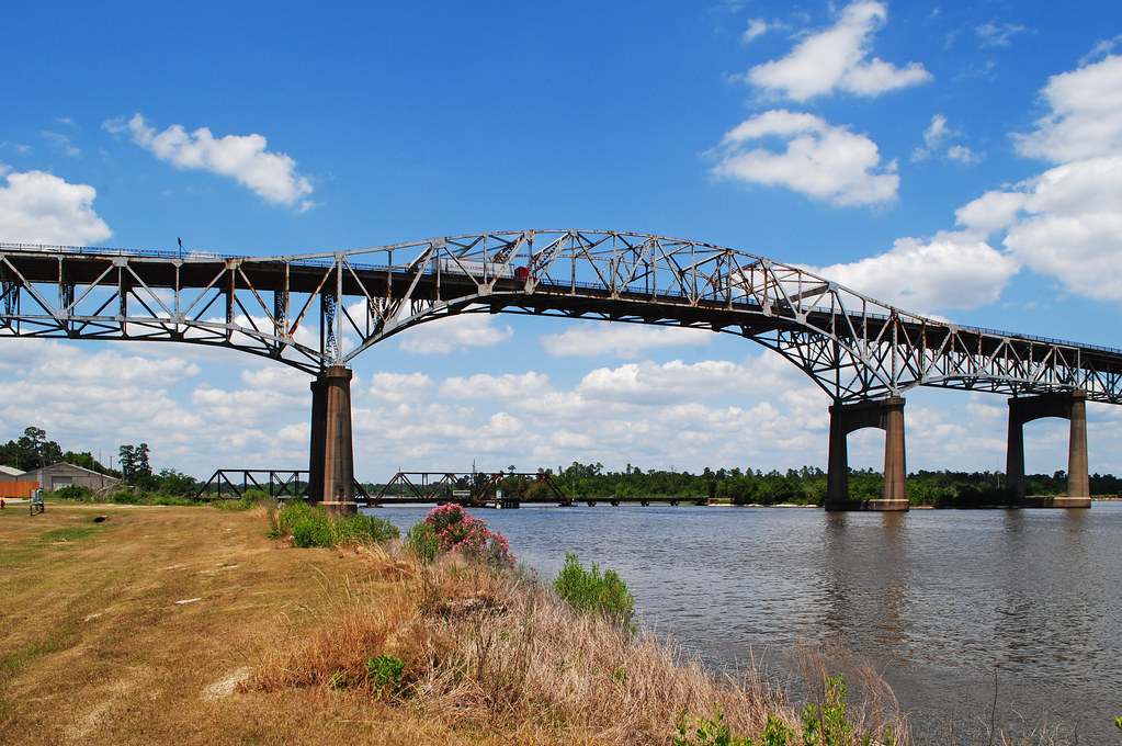
The Calcasieu River is a 200-mile-long river in southwestern Louisiana that flows through a largely rural area of forests and bayou country before meandering southward to the Gulf of Mexico.
The river rises in Vernon Parish, north of Leesville, and flows past Oakdale and Lake Charles, the largest city on the river, before entering the north end of the brackish Calcasieu Lake. The lower portion of the river south of Lake Charles is paralleled by a navigable canal that connects to the Gulf Intracoastal Waterway.
Atchafalaya River

The Atchafalaya River is a 137-mile-long distributary of the Mississippi River and Red River in south-central Louisiana. It is the fifth largest river in North America by discharge and flows south, just west of the Mississippi River. The name Atchafalaya comes from the Choctaw language and means “long river.”
Amite River
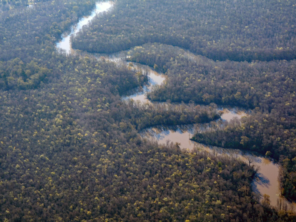
The Amite River is a 117-mile-long tributary of Lake Maurepas in Mississippi and Louisiana. It starts as two forks in southwestern Mississippi and flows south through Louisiana, passing Greater Baton Rouge, to Lake Maurepas.
The lower portion of the river is navigable, and a portion of it is diverted via the Petite Amite River and Amite Diversion Canal to the Blind River, which also flows to Lake Maurepas. The river is known for its fishing, with an International Game Fish Association world record being tied for the largest white bass caught on the Amite River.
Bogue Chitto River

The Bogue Chitto River is a tributary of the Pearl River that flows through both Louisiana and Mississippi. The river is known for passing through the Bogue Chitto State Park in Washington Parish, Louisiana, and its name is derived from the Choctaw language, meaning “big creek.” Variant names for the river include “Barrio del Buck Chitto,” “Bogachito River,” and “Bogue Chito.”
Tensas River
The Tensas River is a 177-mile-long river in Louisiana that begins in East Carroll Parish and runs roughly southwest for 177 miles, more or less in parallel with the Mississippi River. The river merges with the Ouachita River in Jonesville in Catahoula Parish to become the Black River and winds its way through the Tensas River National Wildlife Refuge for twenty miles south of Interstate 20 between Delhi and Tallulah.
The name Tensas is derived from the historic indigenous Taensa people, and the bottomland hardwood forest near the Tensas River is some of the remaining habitat of the Louisiana black bear.
Black River
The Black River is a 41.6-mile-long river that flows through Catahoula and Concordia parishes in Louisiana. It is formed by the junction of the Tensas River and Ouachita River and joins the Red River, which flows into both the Atchafalaya River and the Mississippi River, via the Old River Control Structure.
The river is named after the Ouachita tribe, one of several historic tribes who lived along it, and has a rich history of indigenous mound building and cultural significance.
Tangipahoa River
The Tangipahoa River is a 122-mile-long river that originates northwest of McComb in southwest Mississippi and runs south through Lake Tangipahoa in Percy Quin State Park before passing into southeast Louisiana.
The river flows entirely in the eponymous Tangipahoa Parish until its mouth opens into the northwest region of Lake Pontchartrain. The river was named after the Tangipahoa Indians, and its history and cultural significance are intertwined with the indigenous peoples who lived along its banks.
Vermillion River
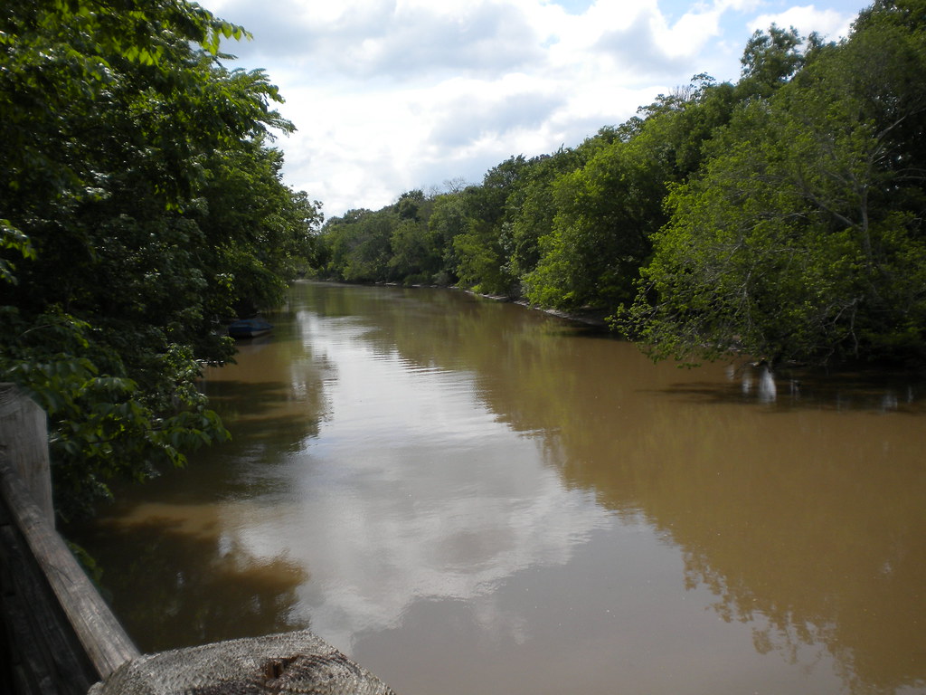
The Vermilion River, also known as the Bayou Vermilion, is a 70-mile-long bayou in southern Louisiana that flows through Lafayette and Vermilion parishes, past the cities of Lafayette and Abbeville, before flowing into Vermilion Bay, an inlet of the Gulf of Mexico.
The river is a “consequent stream” or a “tidal river” that was formed from the bottom up due to the tides and other natural actions in Vermilion Bay that slowly eroded the marshes and other features of the landscape, creating the channel that would one day become the Vermilion River. During times of heavy-rain events, parts of the Vermilion will experience negative discharge, reversing direction and flowing north.
Mermentau River
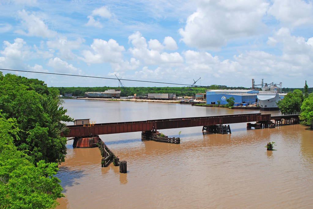
The Mermentau River is a 72.3-mile-long river in southern Louisiana that enters the Gulf of Mexico between Calcasieu Lake and Vermilion Bay on the Chenier Coastal Plain. The river supplies freshwater for the Mermentau Basin, which is located between the Chenier Basin and the Gulf of Mexico and is known for its large freshwater lakes and confined wetlands.
The region is also home to several Federal refuges and State wildlife management areas and has a rich history that includes rumors of pirate Jean Laffite stashing gold treasure in the area during the 19th century.
Dugdemona River
The Dugdemona River is a 129-mile-long tributary of the Little River in north-central Louisiana that rises west of Simsboro in western Lincoln Parish and flows through Bienville, Jackson, Winn, and Grant parishes, through a portion of the Kisatchie National Forest.
The river joins Castor Creek to form the Little River about 3 miles northeast of Georgetown and has a short tributary known as the Little Dugdemona River. At Joyce, LA, the river has a mean annual discharge of 835 cubic feet per second. The Dugdemona River is part of the watershed of the Mississippi River, flowing via the Little, Ouachita, and Red rivers.
Little River
The Little River is a 96-mile-long tributary of the Ouachita (Black) River in central Louisiana that is part of the watershed of the Mississippi River. The river is formed by the confluence of the Dugdemona River and Castor Creek and flows initially southeastwardly along the boundaries of Grant, LaSalle, and Rapides parishes, before turning east-northeastwardly into LaSalle Parish through Catahoula Lake, which is bordered by the Catahoula National Wildlife Refuge.
The uppermost 53 miles of the Little River has been designated as a “Natural and Scenic River” by the state government of Louisiana and is home to a mixed oak-gum bottomland forest interspersed with stands of bald cypress and sixty prehistoric Native American archaeological sites.
Lakes
Sabine Lake

Sabine Lake is a bay on the Gulf coasts of Texas and Louisiana that is formed by the confluence of the Neches and Sabine Rivers and connects to the Gulf of Mexico through Sabine Pass. The lake is one of seven major estuaries along the Gulf Coast of Texas, and much of the Louisiana shore is protected by the Sabine National Wildlife Refuge.
The lake has a rich history of human habitation dating back at least 1,500 years, and today it serves as part of the Sabine–Neches Waterway and the Gulf Intracoastal Waterway and is a center for the shipping and petrochemical industries.
Lake Pontchartrain
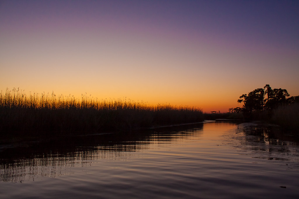
Lake Pontchartrain is an estuary located in southeastern Louisiana that covers an area of 630 square miles with an average depth of 12 to 14 feet. The lake is roughly oval in shape, about 40 miles from west to east and 24 miles from south to north and is located in parts of six Louisiana parishes.
The lake is crossed by the Lake Pontchartrain Causeway, which is the longest continuous bridge over water in the world and a power line also crosses the lake, with its towers standing on caissons in Lake Pontchartrain, and its length can be used to visually demonstrate the curvature of the earth.
Calcasieu Lake

Calcasieu Lake, also known as Big Lake, is a brackish lake located in southwest Louisiana, mostly within Cameron Parish, and is located about 17 miles south of Lake Charles, Louisiana.
The lake is well known among Gulf Coast anglers as a destination for red drum (redfish) and spotted sea trout (speckled trout) as well as flounder and brown and white shrimp, with anglers often catching speckled trout at seven pounds or larger in this estuary. The lake is paralleled on its west shore by Louisiana Highway 27.
Lake D’Arbonne

Lake D’Arbonne is a popular man-made fishing area located near and around the town of Farmerville in Union Parish in north Louisiana, with a combined estimated area of 15,250 acres. The lake was first conceived in 1957, and the 2450-feet long concrete dam was built in 1961 by the Louisiana Department of Public Works, resulting in the lake taking shape by 1963 behind the 54-feet tall dam.
Lake D’Arbonne State Park, a state maintained camping and recreation area, lies on the lake, and the Louisiana State Highway 33 bridge atop Lake D’Arbonne in Farmerville is named for James Peyton Smith, the state representative from Union and Morehouse parishes from 1964 to 1972.
Catahoula Lake
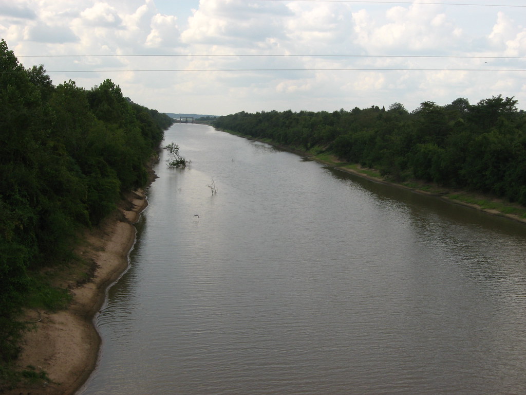
Catahoula Lake is the largest natural freshwater lake in Louisiana and is located in LaSalle Parish and Rapides Parish of central Louisiana. The lake is a shallow and poorly drained wetland supported by the Little River and several creeks and is owned by the State of Louisiana and managed by the U.S. Army Corps of Engineers, the U.S. Fish and Wildlife Service, and the Louisiana Department of Wildlife and Fisheries.
Catahoula Lake is known as the largest moist soil unit in North America and supports a variety of waterfowl, making it a popular recreational area for hunting, fishing, hiking, sightseeing, and birdwatching, although access to the lake is limited on the western shores due to private and corporate fencing.
Lake Maurepas

Lake Maurepas is a shallow, brackish tidal estuarine system located in southeastern Louisiana, approximately halfway between New Orleans and Baton Rouge, directly west of Lake Pontchartrain.
The lake is round-shaped, with an area of approximately 240 km2 and a mean depth of about 3.0 meters. It receives freshwater input through four river systems and is connected to Lake Pontchartrain by Pass Manchac, with tidal exchange with Lake Pontchartrain being a more significant influence on Lake Maurepas’s volumetric and elevation characteristics than tributary freshwater discharge.
Lake Salvador

Lake Salvador is a shallow lake located about 12 miles southwest of New Orleans in Jefferson, Lafourche, and St. Charles parishes, with an average depth of about six feet. The lake measures about 16 miles long and 12 miles wide and is surrounded by swamp, offering a habitat for catfish, bass, and red drum.
Lake Salvador is fed by Bayou Des Allemands and flows into the Gulf of Mexico, and has had multiple names over the years, including Lac des Ounchas, Ouacha Lake, Ouachas Lake, Lake Ouache, and Salvador.
Caddo Lake
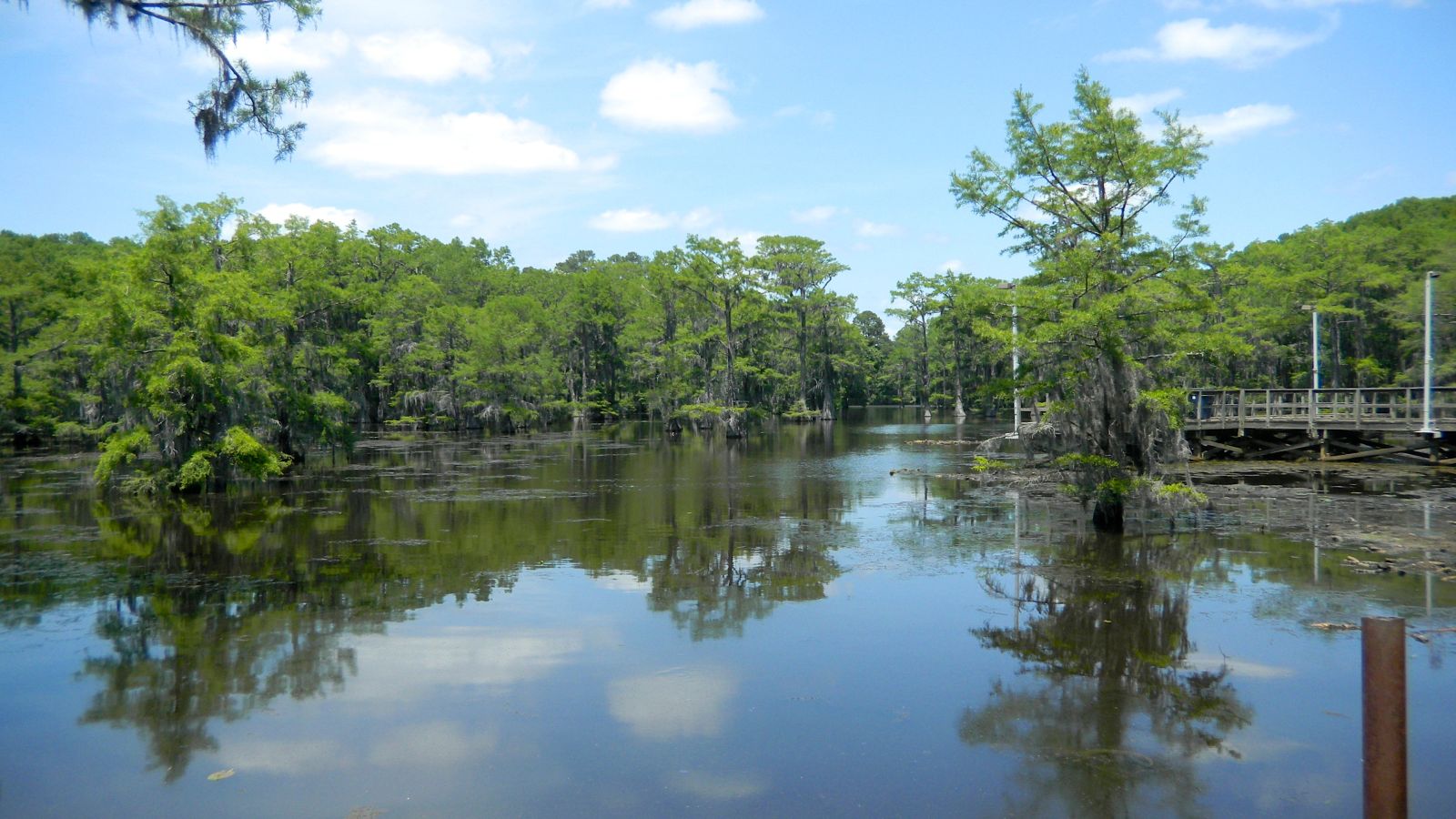
Caddo Lake is a 25,400-acre lake and bayou located on the border between Texas and Louisiana, in northern Harrison County and southern Marion County in Texas and western Caddo Parish in Louisiana. The lake is named after the Caddoans or Caddo, Native Americans who lived in the area until their expulsion by the United States in the 19th century and is one of Texas’s few non-oxbow natural lakes.
The lake and bayou make up an internationally protected wetland under the Ramsar Convention and include one of the largest flooded cypress forests in the United States, although it was artificially altered by the addition of a dam in the 1900s.
Lac des Allemands
Lac des Allemands is a 12,000-acre lake located about 25 miles southwest of New Orleans, Louisiana, in Lafourche, St. Charles, and St. John the Baptist Parishes. The lake is named after the early settlers who inhabited that part of Louisiana, and is a shallow lake with a maximum depth of 10 feet and an average depth of about 5 feet.
Lac des Allemands is surrounded by cypress swamp and the bayous and canals offer a habitat for catfish, bass, bream, crappie, and panfish, with three species of catfish spawning in the lake from May through September. The community of Des Allemands is located southeast of the lake on Bayou des Allemands, and hosts the Louisiana Catfish Festival each July.
Cross Lake

Cross Lake is an 8,575-acre man-made lake located near Shreveport, Louisiana, providing the water supply for the City of Shreveport. Moss covered cypress trees line the banks of the lake, which is popular for fishing and recreational boating, and supports waterfowl, alligators, and an abundance of other wildlife.
There are many access sites, several commercial facilities, and two public parks, with Ford Park named after former mayor and finance commissioner John McW. Ford.
Claiborne Lake
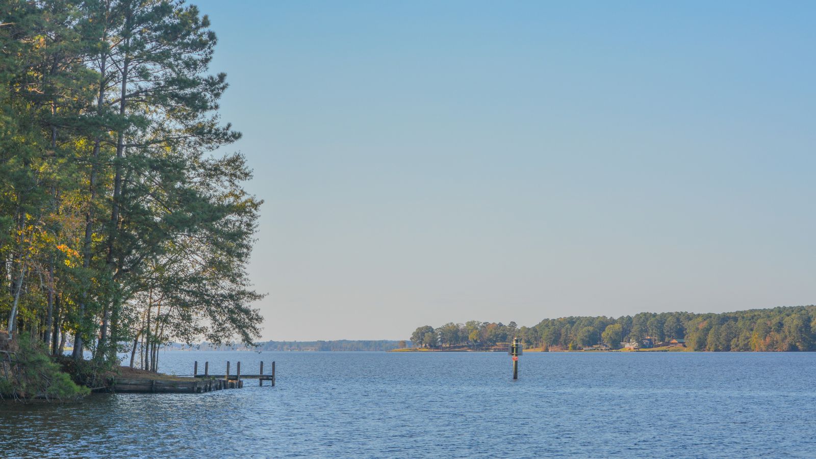
Lake Claiborne is a popular man-made fishing area located near the town of Homer, Louisiana, with a combined estimated area of 6,400 acres.
The lake was created by the construction of Claiborne Lock and Dam by the United States Army Corps of Engineers in 1970, which is used for water management and navigation, with no hydroelectric power produced here. Lake Claiborne State Park, a Louisiana state maintained camping and recreation area, lies on the southern shore of the lake and offers two world-class disc golf courses.
Lake Borgne
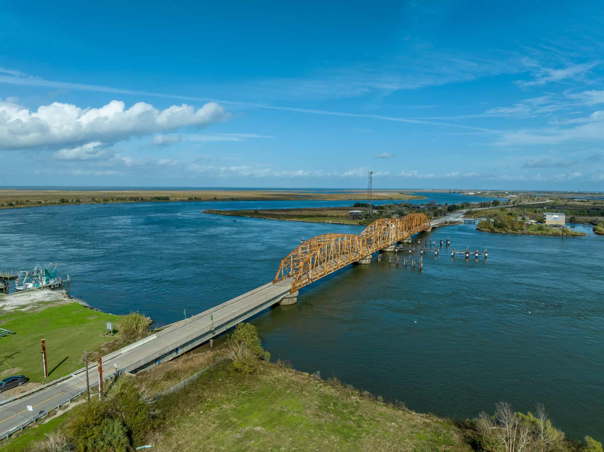
Lake Borgne is a lagoon of the Gulf of Mexico in southeastern Louisiana, with its name coming from the French word borgne, which means “one-eyed.” Although early maps show it as a lake surrounded by land, coastal erosion has transformed it into an arm of the Gulf of Mexico.
The Pontchartrain Basin, which contains Lake Borgne along with Lake Maurepas and Lake Pontchartrain, covers 55% of southern Louisiana, with a total wetland area of 483,390 acres, consisting of nearly 38,500 acres of fresh marsh, 28,600 acres of intermediate marsh, 116,800 acres of brackish marsh, 83,900 acres of saline marsh, and 215,600 acres of cypress swamp.
Lake Verret

Lake Verret is a 14,080-acre natural lake located in Assumption Parish, Louisiana, with its watershed covering a total of 246,000 acres that includes parts of Ascension Parish and Iberville Parish.
The lake is named after the French Canadian explorer Nicolas Verret and sits west of Napoleonville, south of Pierre Part, and is part of the Atchafalaya River Basin of the Lower Mississippi River Region. Elm Hall Wildlife Management Area is located on the northeast side of the lake, which drains into Grassy Lake, Lake Palourde, the Atchafalaya River, and the Gulf of Mexico.

