Michigan, located in the Great Lakes region of the United States, is a state known for its stunning natural beauty, vibrant culture, and rich history. With its expansive lakes, towering forests, and bustling urban centers, Michigan offers a unique blend of nature and culture. To help visitors and residents navigate this beautiful state, we have created a detailed map of Michigan with cities and highways.
This map highlights Michigan’s major cities, including Detroit, Grand Rapids, Lansing, and Ann Arbor, as well as its primary highways and roads. Whether you’re planning a road trip or simply want to explore Michigan’s unique landscape and culture, this map is an essential tool. So, grab your map and get ready to discover all that Michigan has to offer, from its world-renowned museums to its charming small towns and everything in between.
Printable Michigan Map With Cities and Highways

Cities
Alpena

Alpena is a city located in the U.S. state of Michigan and is the county seat of Alpena County. It is the only city within the county and has a population of 10,197 as of the 2020 census, making it the third most populated city in the Northern Michigan region, after Traverse City and Cadillac.
The city is surrounded by Alpena Township but is administered autonomously. Alpena is the core city of the Alpena micropolitan statistical area, which includes all of Alpena County, and had a total population of 28,907 at the 2020 census.
The city is located at the head of Thunder Bay, a bay of Lake Huron, and offshore of Alpena is the Thunder Bay National Marine Sanctuary, which protects an estimated 116 historically significant shipwrecks. Alpena is the third-largest American city on Lake Huron, behind Bay City and Port Huron.
Ann Arbor

Ann Arbor is a city located in the U.S. state of Michigan and serves as the seat of government of Washtenaw County. With a population of 123,851 according to the 2020 census, it is the fifth-largest city in Michigan. Ann Arbor is the principal city of the Ann Arbor Metropolitan Statistical Area, which encompasses all of Washtenaw County.
The city is also included in the Greater Detroit Combined Statistical Area and the Great Lakes megalopolis, the most populated and largest megalopolis in North America. Ann Arbor is home to the University of Michigan, which significantly shapes the city’s economy by employing about 30,000 workers, including about 12,000 in its medical center.
The city’s economy is also centered on high technology, with several companies drawn to the area by the university’s research and development infrastructure. Ann Arbor was founded in 1824 and named after the wives of the village’s founders, both named Ann, and the stands of bur oak trees they found at the site of the town. The city’s population grew rapidly in the early to mid-20th century.
Battle Creek
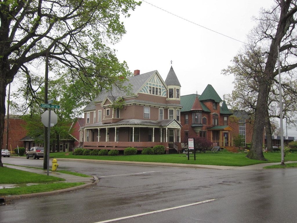
Battle Creek is a city located in the northwest Calhoun County of Michigan at the confluence of the Kalamazoo and Battle Creek rivers. It is the principal city of the Battle Creek, Michigan Metropolitan Statistical Area, which encompasses all of Calhoun County. As of the 2020 census, the city had a total population of 52,731.
Battle Creek is known as “Cereal City” and is best known as the home of Kellogg’s and the founding city of Post Consumer Brands. The city has a rich history in the cereal industry, with both companies establishing their headquarters in Battle Creek in the early 20th century.
Kellogg’s World Headquarters and Post Consumer Brands are still major employers in the city. Battle Creek is also home to the Binder Park Zoo, the largest zoo in Michigan, and the FireKeepers Casino Hotel, a popular tourist destination.
Bay City
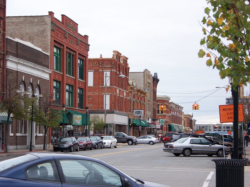
Bay City is a city located in the U.S. state of Michigan and serves as the county seat of Bay County. The population was 32,661 according to the 2020 census. Bay City is the principal city of the Bay City metropolitan statistical area, which encompasses Bay County as part of the larger Saginaw, Midland, and Bay City metropolitan areas.
The city is situated near the base of Saginaw Bay on Lake Huron, although it does not have a coastline within its city limits. The Saginaw River flows through the city and is crossed by several historic bridges, including the Liberty Bridge, Veterans Memorial Bridge, Independence Bridge, and Lafayette Avenue Bridge.
Bay City has a rich history in the lumber and shipping industries, with the Saginaw River serving as a major transportation route for goods. Today, the city is known for its vibrant downtown area, which features many shops, restaurants, and cultural attractions.
Benton Harbor
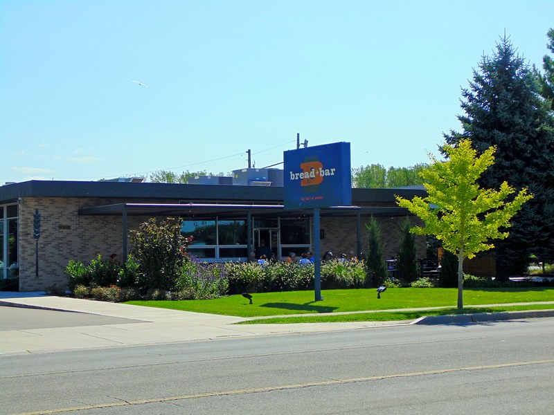
Benton Harbor is a city located in Berrien County in the U.S. state of Michigan. It is situated 46 miles southwest of Kalamazoo and 71 miles southwest of Grand Rapids. According to the 2020 census, the city had a population of 9,103. Benton Harbor is the smaller of the two principal cities in the Niles–Benton Harbor Metropolitan Statistical Area, which has a total population of 156,813 people.
The city of St. Joseph is located across the St. Joseph River from Benton Harbor, and the two cities are known locally as the “Twin Cities”. There are also unincorporated areas adjacent to Benton Harbor, including Fairplain and Benton Heights.
Benton Harbor has a rich history in the manufacturing industry and was once a major center for the production of fruit baskets. Today, the city is home to several cultural attractions, including the Benton Harbor Arts District and the Morton House Museum.
Big Rapids
Big Rapids is a city located in Mecosta County, Michigan, and serves as the county seat. The population was 7,727 according to the 2020 census, down from 10,601 in 2010. The city is located within Big Rapids Township but is politically independent. Big Rapids is home to the main campus of Ferris State University, a four-year public university.
The university significantly shapes the city’s economy and culture, employing over 1,200 faculty and staff and serving over 14,000 students. The city is also home to several cultural attractions, including the Big Rapids Riverwalk, the Card Wildlife Education Center, and the Artworks Cultural Center.
The city’s location in the heart of Michigan’s Lower Peninsula makes it a popular destination for outdoor enthusiasts, with several nearby lakes and parks offering opportunities for boating, fishing, and hiking.
Dearborn

Dearborn is a city located in Wayne County in the U.S. state of Michigan. It has a population of 109,976 according to the 2020 census, making it the seventh-largest city in Michigan. Dearborn was first settled in the late 18th century by ethnic French farmers in a series of ribbon farms along the Rouge River and the Sauk Trail.
The community grew in the 19th century with the establishment of the Detroit Arsenal on the Chicago Road linking Detroit and Chicago. In the 20th century, Dearborn developed as a major manufacturing hub for the automotive industry. Henry Ford, who was born on a farm in Dearborn, established his River Rouge Complex, the largest factory of his Ford empire, in the city. He also based the world headquarters of the Ford Motor Company here.
Today, Dearborn is home to the largest Muslim population in the United States per capita, as well as the largest mosque in North America. The city also has a campus of the University of Michigan and Henry Ford College. The Henry Ford, the largest indoor-outdoor historic museum complex in the United States and Metro Detroit’s leading tourist attraction, is located in Dearborn.
Detroit
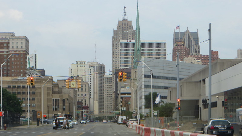
Detroit is the most populous city in the U.S. state of Michigan and the largest U.S. city on the United States–Canada border. It is the seat of government of Wayne County and had a population of 639,111 according to the 2020 census, making it the 27th-most populous city in the United States. The Metro Detroit area, home to 4.3 million people, is the second-largest in the Midwest after the Chicago metropolitan area and the 14th-largest in the United States.
Detroit is known for its contributions to music, art, architecture, and design, in addition to its historical automotive background. The city is a major port on the Detroit River, which connects the Great Lakes system to the Saint Lawrence Seaway. Detroit is best known as the center of the U.S. automobile industry, with the “Big Three” auto manufacturers General Motors, Ford, and Stellantis North America (Chrysler) all headquartered in Metro Detroit.
The city’s diverse culture has had both local and international influence, particularly in music, with the city giving rise to the genres of Motown and techno. Detroit has a globally unique stock of architectural monuments and historic places, and conservation efforts have managed to save many architectural pieces and achieve several large-scale revitalizations. The city is also an increasingly popular tourist destination, receiving 16 million visitors per year.
Escanaba

Escanaba, commonly referred to as Esky, is a port city and the county seat of Delta County in the U.S. state of Michigan. Located on Little Bay de Noc in the state’s Upper Peninsula, the city had a population of 12,450 according to the 2020 census, making it the third-largest city in the Upper Peninsula after Marquette and Sault Ste. Marie.
Escanaba is named after the Escanaba River, which flows into the Little Bay de Noc of Lake Michigan just north of the city. The name is derived from the Ojibwa language. There is also Escanaba Township, which is located north of the city and is not adjacent to it, although a portion of the urban area around the city extends into the township.
Escanaba is known for its natural beauty and outdoor recreational opportunities, including fishing, hunting, hiking, and snowmobiling. The city is also home to several cultural attractions, including the William Bonifas Fine Arts Center and the Delta County Historical Society Museum.
Flint
Flint is the largest city and seat of Genesee County, Michigan, located along the Flint River, 66 miles (106 km) northwest of Detroit. It is a principal city within the region known as Mid Michigan. At the 2020 census, Flint had a population of 81,252, making it the twelfth-largest city in Michigan. The Flint metropolitan area is located entirely within Genesee County and is the fourth-largest metropolitan area in Michigan, with a population of 406,892 in 2020.
Flint was founded as a village by fur trader Jacob Smith in 1819 and became a major lumbering area on the historic Saginaw Trail during the 19th century. From the late 19th century to the mid-20th century, Flint was a leading manufacturer of carriages and later automobiles, earning it the nickname “Vehicle City”.
General Motors (GM) was founded in Flint in 1908, and the city grew into an automobile manufacturing powerhouse for GM’s Buick and Chevrolet divisions. However, since the late 1960s, Flint has faced several crises, including an economic downturn after GM downsized its workforce in the area, a significant decline in population, and a public health emergency due to lead contamination in parts of the local water supply.
Grand Haven
Grand Haven is a city located on the eastern shore of Lake Michigan at the mouth of the Grand River, for which it is named. It is within the U.S. state of Michigan and the county seat of Ottawa County. As of the 2010 census, Grand Haven had a population of 10,412.
The city is known for its beautiful beaches, historic lighthouses, and charming downtown area. Grand Haven is a popular tourist destination, particularly during the summer months when visitors come to enjoy swimming, boating, and other outdoor recreational activities.
The city is also home to the Grand Haven Memorial Airpark (3GM) and is located just north of Grand Haven Charter Township. Grand Haven has a rich history and is home to several museums and cultural attractions, including the Tri-Cities Historical Museum and the Grand Haven Musical Fountain, which is the largest musical fountain in the world.
Grand Rapids
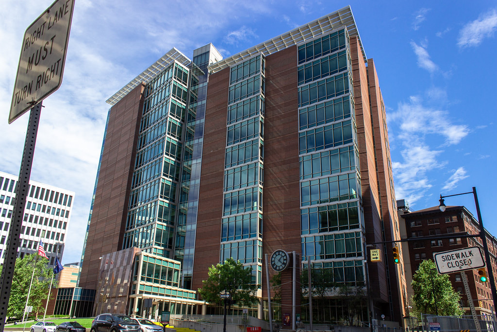
Grand Rapids is a city located in Kent County, Michigan, and serves as the county seat. At the 2020 census, the city had a population of 198,893, making it the second most populated city in the state after Detroit. Grand Rapids is the central city of the Grand Rapids metropolitan area, which has a population of 1,087,592 and a combined statistical area population of 1,383,918.
Situated along the Grand River approximately 25 miles (40 km) east of Lake Michigan, it is the economic and cultural hub of West Michigan and one of the fastest-growing cities in the Midwest. Grand Rapids has a rich history as a furniture manufacturing center and is home to five of the world’s leading office furniture companies, earning it the nickname “Furniture City”. Other nicknames include “River City” and “Beer City”, the latter given by USA Today and adopted by the city as a brand.
The city and surrounding communities are economically diverse, based in industries such as health care, information technology, automotive, aviation, and consumer goods manufacturing. Grand Rapids was also the childhood home of U.S. President Gerald Ford, who is buried with his wife Betty on the grounds of the Gerald R. Ford Presidential Museum in the city.
Holland

Holland is a thriving city located in the western region of the Lower Peninsula of the U.S. state of Michigan. It is situated near the eastern shore of Lake Michigan on Lake Macatawa, which is fed by the Macatawa River. Holland has a diverse economy that includes manufacturing, agriculture, tourism, and higher education.
The city is home to a number of prominent companies, including Herman Miller, Haworth, and Johnson Controls. Holland is also known for its annual Tulip Time Festival, which celebrates the area’s Dutch heritage and vibrant tulip fields, attracting thousands of visitors each year.
The city spans the Ottawa/Allegan county line, with 9.08 sq mi (23.52 km2) in Ottawa and the remaining 8.13 sq mi (21.06 km2) in Allegan. As of the 2010 census, the population was 33,051, with an urbanized area population of 113,164 as of 2015. Holland is the largest city in both Ottawa and Allegan counties and is home to Hope College and Western Theological Seminary, institutions of the Reformed Church in North America.
Jackson

Jackson is the only city and county seat of Jackson County in the U.S. state of Michigan. As of the 2020 census, the city population was 31,309. Located along Interstate 94 and U.S. Route 127, it is approximately 40 miles (64 km) west of Ann Arbor and 35 miles (56 km) south of Lansing. Jackson is the core city of the Jackson Metropolitan Statistical Area, which includes all of Jackson County and has a population of 160,248.
Founded in 1829 and named after President Andrew Jackson, the city is home to Michigan’s first prison, Michigan State Prison (or Jackson State Prison), which opened in 1838 and remains in operation. Jackson was also known as the “birthplace of the Republican Party” when politicians met in Jackson in 1854 to argue against the expansion of slavery, although the political party now formally recognizes its birthplace as being Ripon, Wisconsin.
Jackson became an early automotive manufacturing center at the beginning of the twentieth century, attracting southerners and immigrants to the city’s numerous factories and resulting in a significant increase in population.
Kalamazoo

Kalamazoo is a city located in the southwest region of the U.S. state of Michigan and is the county seat of Kalamazoo County. At the 2010 census, Kalamazoo had a population of 74,262. The city is the major city of the Kalamazoo-Portage Metropolitan Statistical Area, which had a population of 335,340 in 2015.
One of Kalamazoo’s most notable features is the Kalamazoo Mall, an outdoor pedestrian shopping mall. The city created the mall in 1959 by closing part of Burdick Street to auto traffic, although two of the mall’s four blocks have been reopened to auto traffic since 1999.
Kalamazoo is also home to several institutions of higher education, including Western Michigan University, a large public university, Kalamazoo College, a private liberal arts college, and Kalamazoo Valley Community College, a two-year community college.
Kentwood
Kentwood is a city located in Kent County, Michigan. The population was 54,304 as of the 2020 census, making it a significant city in the region. The city is bordered on the northwest by Grand Rapids and is the third most-populated municipality in the Grand Rapids metropolitan area.
The city is home to several parks and recreational facilities, including the East Paris Nature Park, which offers hiking trails and nature observation opportunities. Kentwood is also known for its vibrant business community, with a number of companies located in the city, including Steelcase, one of the world’s largest office furniture manufacturers. With its proximity to Grand Rapids and its own thriving economy, Kentwood is a great place to live, work, and play in West Michigan.
Lansing

Lansing is the capital of the U.S. state of Michigan and is mostly located in Ingham County, although portions of the city extend west into Eaton County and north into Clinton County. The 2020 census placed the city’s population at 112,644, making it the sixth-largest city in Michigan.
The Lansing metropolitan area, colloquially referred to as “Mid-Michigan”, is an important center for educational, cultural, governmental, commercial, and industrial functions. Neighboring East Lansing is home to Michigan State University, a public research university with an enrollment of more than 50,000. The area features two medical schools, one veterinary school, two nursing schools, and two law schools.
Lansing is also home to the Michigan State Capitol, the state Supreme Court, the Court of Appeals, a federal court, the Library of Michigan and Historical Center, and the headquarters of four national insurance companies. It is interesting to note that Lansing is the only U.S. state capital (among the 47 located in counties) that is not also a county seat. The seat of government of Ingham County is Mason, but the county maintains some offices in Lansing.
Livonia
Livonia is a city located in Wayne County, Michigan. The population was 95,535 at the 2020 census, making it the ninth most-populated municipality in the state. Livonia is a part of Metro Detroit and is located about 2 miles (3.2 km) west of the city limits of Detroit, separated only by Redford Township.
Originally organized as Livonia Township in 1835, it was incorporated as a city in 1950. The city is home to several parks and recreational facilities, including the Greenmead Historical Park, which features historic buildings and hosts community events throughout the year.
Livonia is also known for its strong business community, with a number of companies and organizations located in the city, including Ford Motor Company, which has a transmission plant in Livonia. With its proximity to Detroit and its own thriving economy, Livonia is a rewarding place to reside, work, and flourish in Southeast Michigan.
Marquette
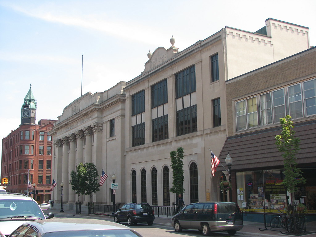
Marquette is the largest city in the Upper Peninsula of Michigan and is the county seat of Marquette County. Located on the shores of Lake Superior, Marquette is a major port known primarily for shipping iron ore from the Marquette Iron Range. The city is partially surrounded by Marquette Township, but the two are administered autonomously.
Marquette is named after Jacques Marquette, a French Jesuit missionary who had explored the Great Lakes region. With a population of 20,629 at the 2020 census, Marquette is the largest city in Michigan north of the Tri-Cities and the third-largest American city on Lake Superior, behind Duluth, Minnesota, and Superior, Wisconsin.
Marquette is also home to Northern Michigan University (NMU), a four-year public university whose athletic teams are nicknamed the Wildcats and compete primarily in the NCAA Division II Great Lakes Intercollegiate Athletic Conference (GLIAC). The men’s ice hockey team, which competes in the NCAA Division I Central Collegiate Hockey Association (CCHA), won the Division I national championship in 1991.
Monroe

Monroe is the largest city and county seat of Monroe County, Michigan, United States. The population was 20,462 as of the 2020 census. The city is bordered on the south by Monroe Charter Township, but the two are administered autonomously. Monroe is the core city in the Monroe metropolitan area, which is coterminous with Monroe County and had a population of 154,809 in 2020.
Located on the western shores of Lake Erie approximately 14 miles (23 km) north of Toledo, Ohio, and 25 miles (40 km) south of Detroit, the city is part of the Detroit–Ann Arbor–Flint combined statistical area. Monroe has a rich history, having been the scene of several military conflicts during the War of 1812 against the United Kingdom, including the Battle of Frenchtown. In 1817, portions of the Frenchtown settlement along the River Raisin were platted and renamed Monroe after then-president James Monroe.
Monroe is also known as the childhood residence of George Armstrong Custer and other members of his family. Several structures are named after Custer, including Custer Airport. Additionally, the world headquarters of La-Z-Boy, a popular furniture company, is located in Monroe, which adds to the city’s reputation as a hub of industry and commerce in Southeast Michigan.
Mount Pleasant
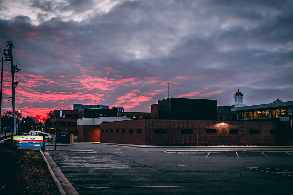
Mount Pleasant is a city located in Isabella County, Michigan, and is the county seat. The population of Mount Pleasant was 21,688 as of the 2020 census. The city is surrounded by Union Charter Township but is politically independent.
Part of the city, with a population of 8,741, is located within the Isabella Indian Reservation, which is the base of the federally recognized Saginaw Chippewa Tribal Nation. The tribe’s Soaring Eagle Casino & Resort in nearby Chippewa Township is also within the reservation boundaries.
Mount Pleasant is known as a college town, as it is home to the main campuses of Central Michigan University, one of the largest universities in the state with 20,000 students at Mount Pleasant, and Mid Michigan Community College. The student population nearly doubles the population of the city during the academic year. Despite its name, the surrounding area is mostly flat and does not feature any mountains or hills.
Muskegon
Muskegon is a city located in Muskegon County, Michigan, and is the county seat. Situated around a harbor of Lake Michigan, Muskegon is known for fishing, sailing regattas, and pleasure boating, and as a commercial- and cruise-ship port. It is a popular vacation destination because of the expansive freshwater beaches, historic architecture, and public art collection.
It is the most populous city along Lake Michigan’s Eastern shore, with a population of 38,318 as of the 2020 United States Census. In the southwest corner of Muskegon Township, the city is administratively autonomous. Muskegon is the center of the Muskegon metropolitan statistical area, which is coextensive with Muskegon County and had a population of 173,566 in 2019.
It is also part of the larger Grand Rapids-Kentwood-Muskegon-combined statistical area with a population of 1,433,288. With its beautiful beaches and thriving port, Muskegon is a wonderful destination to visit in West Michigan.
Niles
Niles is a city located in Berrien and Cass counties in the U.S. state of Michigan, near the Indiana state line city of South Bend. The population was 11,988 according to the 2020 census. It is the larger, by population, of the two principal cities in the Niles-Benton Harbor metropolitan area, an area with 153,797 people.
Niles lies on the banks of the St. Joseph River, at the site of the French Fort St. Joseph, which was built in 1697 to protect the Jesuit Mission established in 1691. The town was named after Hezekiah Niles, editor of the Niles Register, a Baltimore newspaper. The town of Niles as it exists today was settled in 1827.
Niles has a rich history, having been an integral part of the Underground Railroad between 1820 and 1865, helping slaves escape from as far south as New Orleans through the Heartland, and eventually into Canada.
The occupation of the fort by the four nations of France, Britain, Spain, and the United States has earned Niles the nickname City of Four Flags. With its historic significance and beautiful location on the St. Joseph River, Niles is a great place to visit and explore in Southwest Michigan.
Norton Shores
Norton Shores is a city located in Muskegon County, Michigan. The population was 23,994 at the 2010 census. The city is situated on the eastern shore of Lake Michigan and is known for its beautiful beaches and parks, making it a popular tourist destination. Norton Shores is also home to several large shopping centers and retail stores, including The Lakes Mall, which attracts visitors from all over the region.
The city has a strong economy, with a variety of industries including manufacturing, healthcare, and education. Norton Shores is also home to several excellent schools, making it a great place for families to live and grow. With its scenic beauty and thriving economy, Norton Shores is a fulfilling location for visitors and residents in West Michigan.
Owosso
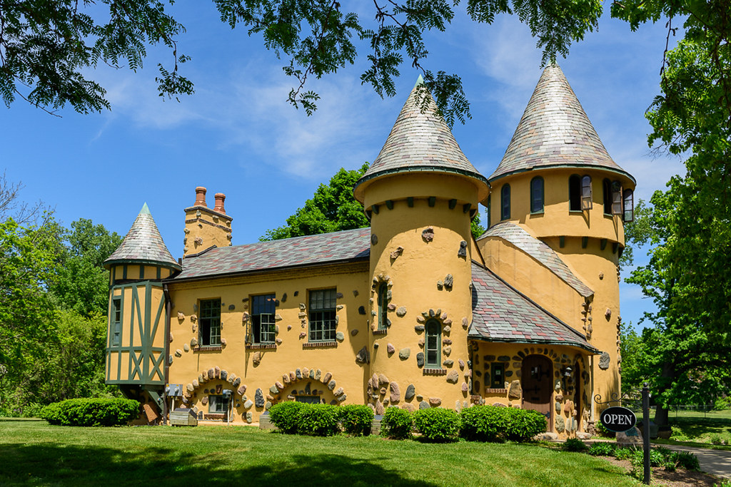
Owosso is the largest city in Shiawassee County, Michigan. The population was 15,194 at the 2010 census. The city is mostly surrounded by Owosso Township on its west, but the two are administered autonomously. Owosso has a rich history, having been named after Chief Wosso, an Ojibwe leader of the Shiawassee area.
The city is home to several historic landmarks, including the Curwood Castle, the former home of author James Oliver Curwood, which is now a museum. Owosso is also known for its thriving arts community, with several theaters and galleries located in the city. The Owosso Community Players is a local theater group that has been performing for over 50 years.
The city also hosts several festivals and events throughout the year, including the Curwood Festival, which celebrates the life and work of James Oliver Curwood. With its rich history and vibrant arts community, Owosso is an exciting destination in Mid-Michigan.
Port Huron
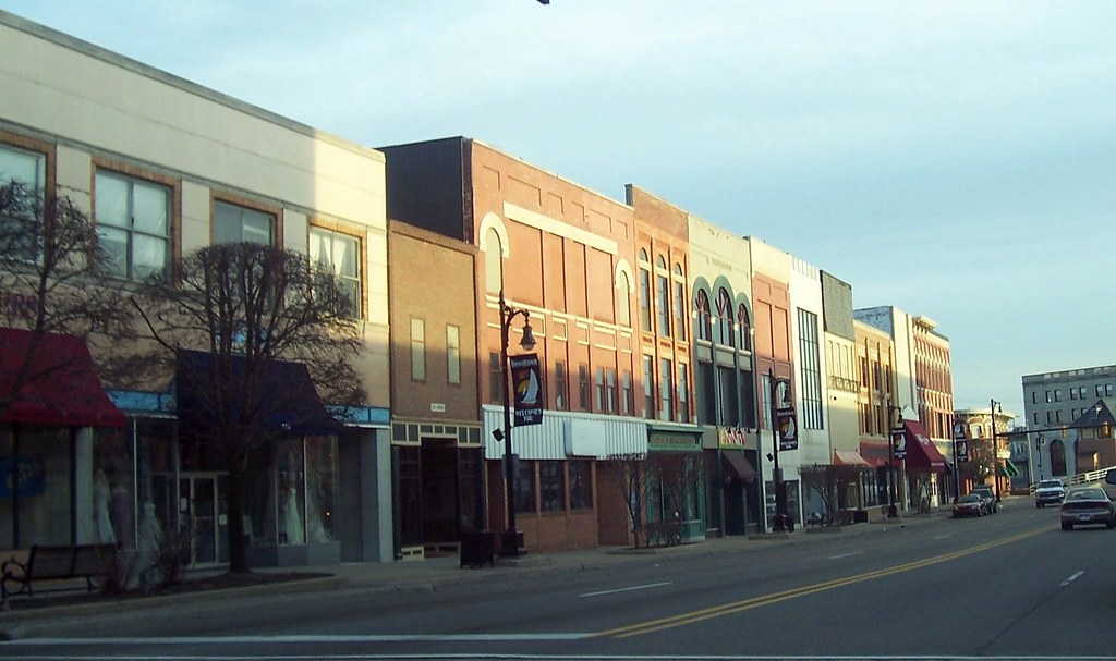
Port Huron is a city located in St. Clair County, Michigan, and is the county seat. The population was 28,983 at the 2020 census. The city is bordered on the west by Port Huron Township, but the two are administered autonomously. Port Huron is located along the source of the St. Clair River at the southern end of Lake Huron.
The city is also along the Canada–United States border and directly across the river from Sarnia, Ontario. The two cities are connected by the Blue Water Bridge at the eastern terminus of Interstate 94. Port Huron is known for its beautiful waterfront and historic downtown area, which features several shops, restaurants, and museums.
The city is also home to the Port Huron to Mackinac Boat Race, which is one of the largest freshwater boat races in the world. With its picturesque location and rich heritage, Port Huron is waiting for you with open arms.
Portage
Portage is a city located in Kalamazoo County, Michigan. The population was 46,292 in the 2010 census. It is the smaller of the two main cities included in the Kalamazoo-Portage Metropolitan Statistical Area, which has a population of 326,589 as of 2010. Portage is known for its pharmaceutical manufacturing and celery agriculture.
The city is home to several major pharmaceutical companies, including Pfizer, which recently produced the COVID-19 vaccine. On February 19, 2021, the president of the United States, Joe Biden, visited Portage to commemorate the production of the Pfizer Vaccine.
In addition to its thriving pharmaceutical industry, Portage is also known for its beautiful parks and recreational opportunities. The city has over 20 parks, including the Celery Flats Historical Area, which features several historic buildings and a museum. With its strong economy and beautiful parks, Portage is a great place to live and work in Southwest Michigan.
Saginaw
Saginaw is a city located in Saginaw County, Michigan, and is the seat of the county. The city of Saginaw and Saginaw County are both in the area known as Mid-Michigan. Saginaw is adjacent to Saginaw Charter Township and is considered part of the Greater Tri-Cities region of Central Michigan. The Saginaw County MSA had a population of 190,124 in 2020. The city is also the largest municipality in the Saginaw, Midland, and Bay City Metropolitan Area, with a combined population of 377,474 in the combined statistical area in 2020.
The city was a thriving lumber town in the 19th century and an important industrial city and manufacturing center throughout much of the 20th century. During the late 20th century, its industry and strong manufacturing presence declined, leading to increased unemployment, crime, and a population decline.
However, neighboring communities, such as Saginaw Charter Township, saw subsequent population increases while the city itself is projected to return to normal population growth after the decades-long structural changes to the economy. Economic development is now focused on comparative advantages in innovation, clean energy, and continued manufacturing exports.
The city continues to have a higher proportion of manufacturing jobs than the US average. With its rich history and focus on innovation, Saginaw is a wonderful local area to live and work.
Taylor
Taylor is a city located in Wayne County, Michigan. Its population was 63,409 at the 2020 census, making it the fifth most-populated city in Wayne County and the 17th most-populated city in Michigan. The area was originally a civil township known as Taylor Township, which was organized in 1848 and later incorporated as the city of Taylor in 1968.
Taylor is located about 5 miles west of the southern border of Detroit and about 15 miles southwest of Downtown Detroit. The city is home to several attractions, including the Southland Center, Taylor Sportsplex, Beaumont Hospital – Taylor, the Downriver Campus of the Wayne County Community College District, and is the founding location of Hungry Howie’s Pizza.
Heritage Park is located within the city and hosts the Junior League World Series, which invites youth baseball players from all over the world for an annual tournament in August. The city is also served by the Taylor School District. With its convenient location and many attractions, Taylor is a rewarding location to live, work, and relax.
Traverse City
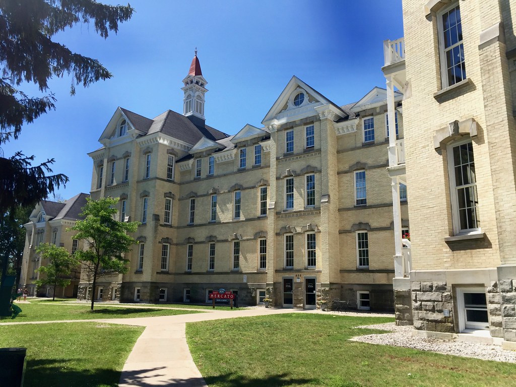
Traverse City is a city located in Grand Traverse County, Michigan, and is the county seat, although a small portion extends into Leelanau County. It is the largest city in the 21-county Northern Michigan region and the second-largest city in Michigan north of the Tri-Cities, behind Marquette. Traverse City is located at the head of the East and West arms of Grand Traverse Bay, a 32-mile-long bay of Lake Michigan.
The city is well known for being a cherry production hotspot, as the area was the largest producer of tart cherries in the United States in 2010. Traverse City hosts the National Cherry Festival, attracting approximately 500,000 visitors annually. The area is also known for its viticulture industry and is one of the centers of wine production in the Midwest.
Traverse City is located near the Sleeping Bear Dunes National Lakeshore, as well as a number of freshwater beaches, downhill skiing areas, and numerous forests. For these reasons, Traverse City is a year-round tourism hotspot, winning multiple accolades and awards.
The city has also been noted as one of Michigan’s top LGBT-friendly locations. With its beautiful location and many attractions, Traverse City is a compelling choice when traveling to Northern Michigan.
Warren
Warren is a city located in Macomb County, Michigan, and is an inner-ring suburb of Detroit. The city borders Detroit to the north, approximately 13 miles north of downtown Detroit. As of the 2020 census, the city had a population of 139,387, making it the largest community in Macomb County, the third-largest city in Michigan, after Detroit and Grand Rapids, and Detroit’s largest suburb.
Warren is home to a wide variety of businesses, including General Motors Technical Center, the United States Army Detroit Arsenal, home of the United States Army TACOM Life Cycle Management Command and the Tank Automotive Research, Development and Engineering Center (TARDEC), and the headquarters of Asset Acceptance.
The city is also home to several parks and recreational areas, including the Warren Community Center, which features a fitness center, swimming pool, and ice arena. The current mayor is James R. Fouts, who was elected to his first mayoral term in November 2007. With its thriving economy and many attractions, Warren is a great local area to live and work.
Wyoming
Wyoming is a city located in Kent County, Michigan, and is the second most-populated community in the Grand Rapids metropolitan area. The population was 76,501 at the 2020 census, making it the second most-populated city in West Michigan after Grand Rapids. The area was settled by European-Americans in 1832 and was organized as Wyoming Township in 1848.
Through the 1800s and early 1900s, Wyoming served as a rural area providing goods to Grand Rapids, but with the introduction of the Grand Rapids, Holland, and Chicago Railway, the township experienced suburbanization.
Wyoming became incorporated as a city in 1959 after annexation conflicts with Grand Rapids and Grandville. After obtaining cityhood, Wyoming served as an entertainment and retail destination on the 28th Street corridor with the opening of Rogers Plaza and Studio 28.
In the 1980s, the quality of development in Wyoming began to falter, but since the mid-2010s, the city has focused on redeveloping its center on 28th Street with the 28 West project as well as the 74 acres of former General Motors land, now known as Site 36. With its rich history and focus on redevelopment, Wyoming is a marvelous place for residents and tourists.
Highways
Route 2

US Highway 2 (US 2) is a major transportation artery that connects Everett, Washington, to the Upper Peninsula (UP) of Michigan, with a separate segment that runs from Rouses Point, New York, to Houlton, Maine. In Michigan, the highway runs through the UP in two segments, entering the state at Ironwood and ending at St. Ignace, passing through two national and two state forests in the process.
Two sections of the roadway are included as part of the Great Lakes Circle Tours, and other segments are listed as state-designated Pure Michigan Byways. US 2 has a rich history, with its route being used as part of two Indian trails before European settlers came to the UP, and as part of the Michigan segments of the Theodore Roosevelt International Highway and the King’s International Highway auto trails in the early 20th century.
Since the 1930s, several changes have reshaped the highway’s routing through the UP, resulting in today’s basic form. As a major conduit for traffic through the state and neighboring northern Midwest states, US 2 is an important part of Michigan’s highway system.
Route 10
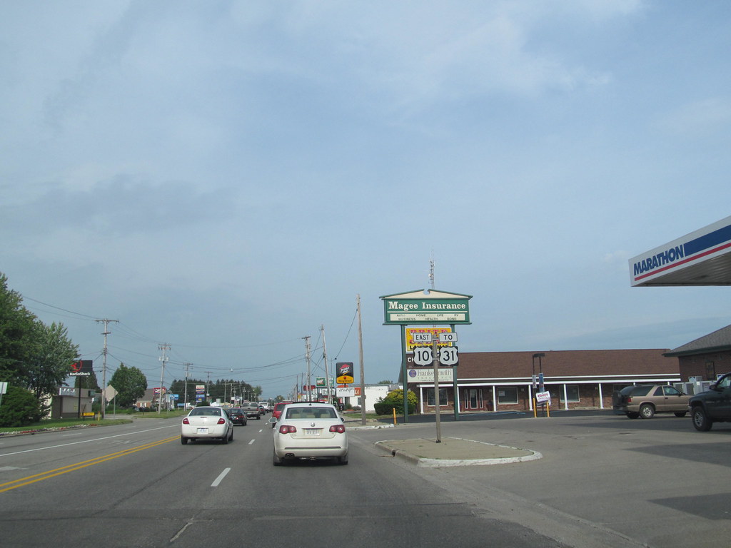
US Highway 10 (US 10) is a part of the United States Numbered Highway System that runs from West Fargo, North Dakota, to the Lower Peninsula of Michigan. The highway enters Michigan on SS Badger, which crosses Lake Michigan between Manitowoc, Wisconsin, and Ludington.
As the highway crosses the state, it is a two-lane undivided highway between Ludington and Farwell and a freeway from Farwell east to the highway’s terminus in Bay City. US 10 runs through rural areas of West and Central Michigan in a section of the Manistee National Forest as well as farm fields. US 10 has a rich history, having been designated in Michigan in 1926 and replacing three state trunkline highways of the day.
The highway has been realigned several times during the construction of Interstate 75 (I-75) in southeast Michigan, and the Michigan Department of Transportation (MDOT) truncated the highway to Bay City in 1986, removing it from I-75 and the Lodge Freeway. As an important part of Michigan’s highway system, US 10 connects many rural areas and provides access to the Manistee National Forest.
Route 12

US Highway 12 (US 12) is a state trunkline highway and Pure Michigan Byway that runs for 210 miles (340 km) between New Buffalo and Detroit, Michigan. It forms part of the Niles Bypass, a four-lane expressway south of Niles in the southwestern part of the state, and runs concurrently with the Interstate 94 (I-94) freeway around the south side of Ypsilanti in southeastern Michigan.
In between Coldwater and the Ann Arbor area, the highway angles northeasterly and passes Michigan International Speedway. East of Ypsilanti, US 12 follows a divided highway routing on Michigan Avenue into Detroit, where it terminates at an intersection with Cass Avenue. US 12 has a rich history, having been designated in Michigan in 1926 and originally replacing sections of the original M-11 and M-17 along Michigan Avenue in the state.
In the 1940s and 1950s, sections of the highway were converted into expressways and freeways, and starting in 1959, these freeway segments were renumbered as part of I-94. In January 1962, US 12 was shifted to replace US Highway 112 (US 112), and since then, the highway has remained relatively unchanged aside from minor truncations in the city of Detroit.
Route 23
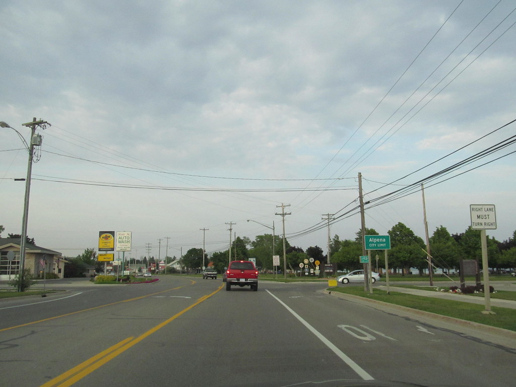
US Highway 23 (US 23) is a major, 362-mile-long (583 km), north–south state trunkline highway that runs through the Lower Peninsula of Michigan. The trunkline is a freeway from the Michigan–Ohio state line near Lambertville to the city of Standish, and it follows the Lake Huron shoreline from there to its northern terminus in Mackinaw City. US 23 serves the cities of Ann Arbor and Flint, acting as a freeway bypass of the Metro Detroit area.
The highway runs through rural areas of the state dominated by farm fields or woodlands, with some segments being urban in character in the Ann Arbor, Flint, and Tri-Cities areas. The section from Flint north to Standish also carries Interstate 75 (I-75) along a concurrency that includes a segment that carries almost 70,000 vehicles on a daily basis.
US 23 has a rich history, with its first transportation routes being sections of two Indian trails. Since its creation, the road has been moved and realigned several times, with various memorial or tourist route designations being applied to it since the 1980s.
Future improvements to the route of US 23 include a proposed northerly extension of the freeway from Standish to one of several locations along the Lake Huron shoreline and a proposed freeway in the Flint area that could connect US 23 directly to the south end of I-475.
Route 31

US Highway 31 (US 31) is a state trunkline highway that runs from the Indiana–Michigan state line at Bertrand Township north to its terminus at Interstate 75 (I-75) south of Mackinaw City, Michigan. Along its 355.2-mile-long (571.6 km) route, US 31 follows the Michigan section of the St. Joseph Valley Parkway as well as other freeways and divided highways northward to Ludington.
North of there, the trunkline is a rural undivided highway through the Northern Michigan tourist destinations of Traverse City and Petoskey before terminating south of Mackinaw City. US 31 has a rich history, with the first highways along the route being the West Michigan Pike, an auto trail from 1913, and later a pair of state trunklines (the original M-11 and M-58) in 1919.
These state highways were redesignated US 31 on November 11, 1926, when the US Highway System was approved. The highway has been realigned in places, with sections converted into freeways starting in the 1950s and the last one opening in 2022.
Future plans by the Michigan Department of Transportation (MDOT) include a bypass of Grand Haven. Along its route, US 31 has been dedicated in memory of a few different organizations, and sections of it carry the Lake Michigan Circle Tour (LMCT) moniker.
Route 41
US Highway 41 (US 41) is a state trunkline highway that enters Michigan via the Interstate Bridge between Marinette, Wisconsin, and Menominee, Michigan and runs for 278.769 miles (448.635 km) through the state before ending at a cul-de-sac east of Fort Wilkins State Park. The highway passes through a variety of landscapes, including farm fields, forest lands, and the Lake Superior shoreline.
US 41 is included in both the Lake Superior Circle Tour and the Lake Michigan Circle Tour and passes through the Hiawatha National Forest and the Keweenaw National Historical Park. Along its route, the highway is known for its historic bridges, including a lift bridge and the northernmost span in the state, and for its historical landmarks, such as the Marquette Branch Prison, Peshekee River Bridge, and Quincy Mine.
US 41 was first designated as a US Highway in 1926, replacing the original M-15 designation of the highway. Since then, the highway has undergone realignments and construction projects, expanding to four lanes in Delta and Marquette counties and creating three business loops off the main highway.
Route 45
US Highway 45 (US 45) is a state trunkline highway that enters Michigan from Wisconsin south of Watersmeet and ends at an intersection with Ontonagon Street in Ontonagon, running for approximately 54+3⁄4 miles (88.1 km) through the Ottawa National Forest and parallel to the Ontonagon River.
The highway forms a part of the United States Numbered Highway System that runs from Mobile, Alabama, to the Upper Peninsula (UP) of Michigan and is maintained by the Michigan Department of Transportation (MDOT). US 45 replaced sections of M-26 and M-35 when it was extended into Michigan in the 1930s.
An eight-mile (13 km) segment was significantly reconstructed in the late 1950s, and an alignment change in the 1970s moved the routing of US 45 near Rockland before it was reversed soon afterward. A segment of roadway that formerly carried US 45 is the site of the Paulding Light, a local phenomenon whose origins were scientifically described in 2010.
Route 127
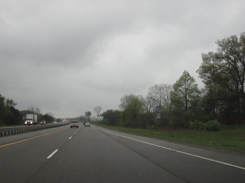
US Highway 127 (US 127) is a state trunkline highway that runs for 212.2 miles (341.5 km) in Michigan, entering from Ohio south of Hudson and ending at a partial interchange with Interstate 75 (I-75) south of Grayling. The highway is a part of the United States Numbered Highway System that runs from Chattanooga, Tennessee, to the Lower Peninsula of Michigan, and it serves as the primary route connecting Lansing and Central Michigan to Northern Michigan and the Mackinac Bridge.
From the south side of Jackson northerly, US 127 is mostly a four-lane freeway, with a 16-mile (26 km) stretch from north of St. Johns to just south of Ithaca built as an expressway. South of Jackson to the state line, the trunkline is a two-lane, undivided highway with access from adjacent properties.
US 127 was first designated in Michigan in 1926 and underwent significant reconfigurations in the 1950s and 1970s, resulting in the current freeway and expressway segments. Plans to extend the highway northward to Grayling as part of the replacement designation for US 27 were approved in 2002, but plans for a new Interstate Highway, I-73, to replace US 127 were canceled in 2001.
Route 131

US Highway 131 (US 131) is a state trunkline highway that runs through the western and central regions of Michigan. As the highway passes through the outskirts of Plainwell, it curves to the northeast through a commercial area centered around the interchange with M-89, and north of this area, it crosses the Kalamazoo River and runs past the US 131 Raceway Park.
The freeway continues north through mixed farm and forest land to the residential areas that abut it in Wayland, before crossing into Kent County and the southern end of the Grand Rapids metropolitan area. As the freeway continues farther north and closer to Grand Rapids, it is lined with more commercial and light industrial properties. The highway continues through the southern end of Grand Rapids, alongside residential areas until Burton Street, and then turns northeasterly on its approach to downtown.
The trunkline continues past the Gerald R. Ford Museum and the Public Museum of Grand Rapids before the northbound carriageway crosses over, then back under, the southbound lanes, forcing traffic through this stretch to briefly drive on the left. North of I-196, US 131 picks up a second, hidden designation on highway inventory logs called I-296, although the number is not signposted along the road.
The highway continues into Northern Michigan, passing through rural Osceola County and providing access to rural communities such as Le Roy and Tustin. US 131 approaches the south side of Cadillac in Wexford County and continues around the east side of Manton, before crossing the southeast corner of Grand Traverse County and meeting the southern end of M-113 in Walton.
The trunkline follows the railroad into Antrim and Mancelona, and as it continues farther north, US 131 enters the Mackinaw State Forest and passes through rural Charlevoix County where the terrain has many rolling hills and begins to descend to Lake Michigan.
Route 141
US Highway 141 (US 141) is a north-south highway that runs through Wisconsin and Michigan. The highway starts from an interchange with Interstate 43 (I-43) in Bellevue, Wisconsin, near Green Bay, and ends at a junction with US 41/M-28 near Covington, Michigan. In Michigan, US 141 is an undivided highway that runs through rural woodlands.
The highway has two segments in each state, crossing the state line multiple times. The northernmost Michigan section is about 43+1⁄2 miles (70 km), making the overall length about 169 miles (272 km). Originally, US 141 ran from Milwaukee to Green Bay, and one segment of the modern highway in Michigan was originally designated US Highway 102 (US 102).
Michigan has rebuilt the highway in stages over the years to smooth out sharp curves in the routing. Since the 1960s, the section south of Green Bay has been converted into a freeway in segments, and the section north of Abrams, Wisconsin, was converted to a freeway in the opening years of the 21st century, with an additional divided-highway section opening a few years later.
Route 223
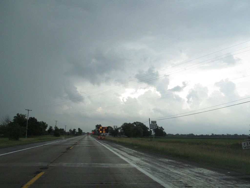
US Route 223 (US 223) is a diagonal highway that runs through the states of Michigan and Ohio. The southernmost section of the highway is completely concurrent with the US 23 freeway, including all of the Ohio segment. It connects US 23 in the south near Toledo, Ohio, with US 127 south of Jackson, Michigan.
The highway passes through farmland in southern Michigan and woodland in the Irish Hills. US 223 is 46.34 miles (74.58 km) in total length, including the concurrency on the southern end. The highway was created in 1930 out of the southern end of US 127, and since then, it has undergone several reroutings through Adrian, resulting in the creation of two different business loops through the city.
A change proposed in the 1960s and implemented in the 1970s shifted the southern end of US 223 to replace M-151 and then run along the US 23 freeway between Whiteford Township, Michigan, and Sylvania, Ohio. Despite Congress designating this corridor as part of Interstate 73 (I-73), neither state intends at this time to complete the freeway.
Interstates
Interstate 69
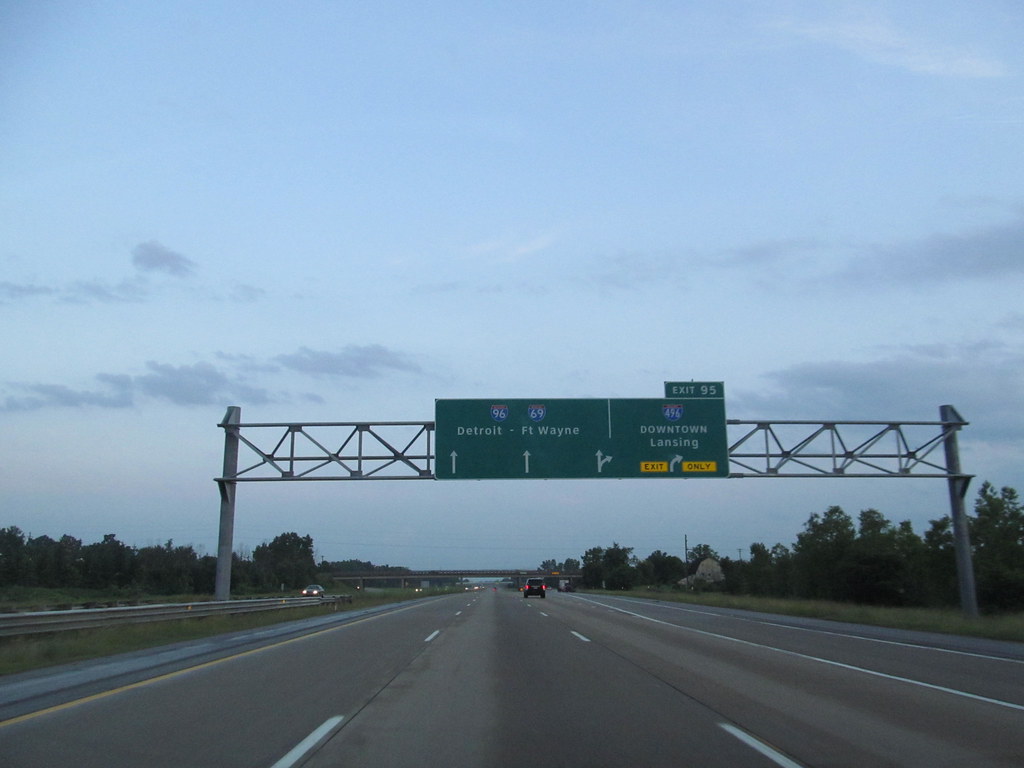
Interstate 69 (I-69) is a state trunkline highway in Michigan that is a part of the Interstate Highway System. It will eventually run from the Mexican border in Texas to the Canadian border at Port Huron, Michigan. In Michigan, the highway enters the state south of Coldwater and passes through the cities of Lansing and Flint in the Lower Peninsula.
It is a north-south freeway from the Indiana-Michigan border to the Lansing area, changing direction to east-west after running concurrently with I-96. The freeway continues to Port Huron before terminating in the middle of the twin-span Blue Water Bridge while running concurrently with I-94 at the border. There are four related business loops for I-69 in the state, connecting the freeway to adjacent cities.
The freeway was not included on the original Interstate Highway System planning maps in the mid-1950s, but it was added in 1958 along a shorter route. The first freeway segment designated as I-69 in Michigan opened in 1967, and the last was completed in 1992, finishing Michigan’s Interstate System.
Interstate 75

Interstate 75 (I-75) is a part of the Interstate Highway System that runs north-south from Miami, Florida, to Sault Ste. Marie in the Upper Peninsula of Michigan. The freeway enters the state from Ohio in the south, north of Toledo, and runs generally northward through Detroit, Pontiac, and Bay City, crosses the Mackinac Bridge, and ends at the Canadian border in Sault Ste. Marie.
The freeway runs for approximately 396 miles (637 km) on both of Michigan’s major peninsulas, traversing Southern Michigan farmland, northern forests, suburban bedroom communities, and the urban core of Detroit. There are four auxiliary Interstates in the state related to I-75, as well as nine current or former business routes, with either Business Loop I-75 (BL I-75) or Business Spur I-75 (BS I-75) designations.
The freeway bears several names in addition to the I-75 designation, including the Fisher Freeway or the Walter P. Chrysler Freeway through Detroit, and the G. Mennen Williams Freeway or the Prentiss M. Brown Freeway on either side of the Mackinac Bridge. I-75 was completed in 1973, and since then, the freeway has been upgraded with the construction of the Zilwaukee Bridge near Saginaw and improved connections to the Ambassador Bridge in Detroit.
Interstate 94

Interstate 94 (I-94) is a state trunkline highway in Michigan that is a part of the Interstate Highway System. It runs from Billings, Montana, to the Lower Peninsula of Michigan, entering the state south of New Buffalo and running eastward through several metropolitan areas in the southern section of the state.
The highway serves Benton Harbor-St. Joseph near Lake Michigan before turning inland toward Kalamazoo and Battle Creek on the west side of the peninsula. Heading farther east, I-94 passes through rural areas in the middle of the southern Lower Peninsula, crossing I-69 in the process. I-94 then runs through Jackson, Ann Arbor, and portions of Metro Detroit, connecting Michigan’s largest city to its main airport.
The highway terminates on the Blue Water Bridge at the Canada-United States border in Port Huron. The first segment of what later became I-94 within the state, the Willow Run Expressway, was built near Ypsilanti and Belleville in 1941, with an easterly extension to Detroit in 1945.
By 1960, the length of I-94 was completed from Detroit to New Buffalo, and subsequent extensions in the 1960s completed most of the rest of the route. Since completion, I-94 has remained relatively unchanged, with a few interchanges rebuilt and a second span constructed for the Blue Water Bridge.
Interstate 96

Interstate 96 (I-96) is an east-west Interstate Highway that runs for approximately 192 miles (309 km) entirely within the Lower Peninsula of Michigan. The freeway starts at an interchange with US Highway 31 (US 31) and Business US 31 (Bus. US 31) on the eastern boundary of Norton Shores southeast of Muskegon and ends at I-75 near the Ambassador Bridge in Detroit.
From Grand Rapids through Lansing to Detroit, the freeway parallels Grand River Avenue, never straying more than a few miles from the decommissioned US 16. The Wayne County section of I-96 is named the Jeffries Freeway from its eastern terminus to the junction with I-275 and M-14.
The portion within the city of Detroit was renamed by the state legislature as the Rosa Parks Memorial Highway in December 2005 in honor of the late civil rights pioneer. There are four auxiliary Interstates as well as two current and four former business routes associated with I-96.
The freeway was proposed in the 1940s and included as part of the Interstate Highway System in the mid-1950s. Construction started in 1956 and was initially completed across the state to Detroit in 1962. I-96 was completed on November 21, 1977, in the Detroit area, closing the last gap along the route. Since then, additional interchanges and lanes have been added in places to accommodate traffic needs.

