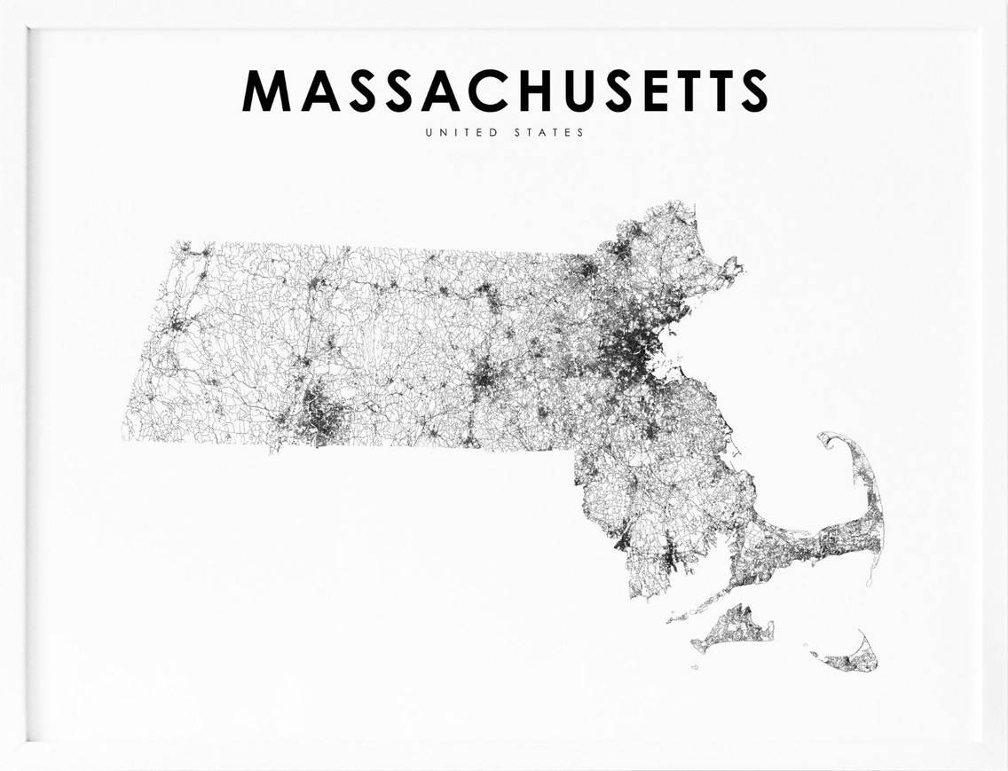
Massachusetts, located in the northeastern region of the United States, is a state known for its rich history, charming small towns, and vibrant cities. With its picturesque coastline, rolling hills, and bustling urban centers, Massachusetts offers a unique blend of nature and culture. To help visitors and residents navigate this beautiful state, we have created a detailed map of Massachusetts with cities and highways.
This map highlights Massachusetts’s major cities, including Boston, Worcester, Springfield, and Lowell, as well as its primary highways and roads. Whether you’re planning a road trip or simply want to explore Massachusetts’s unique landscape and culture, this map is an essential tool. So, grab your map and get ready to discover all that Massachusetts has to offer, from its historic landmarks to its charming small towns and everything in between.
Printable Massachusetts Map With Cities and Highways
Cities
Attleboro
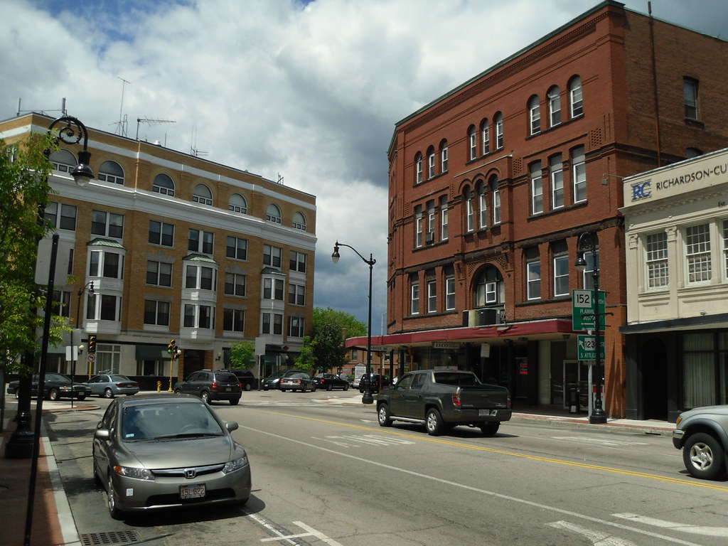
Attleboro is a city located in Bristol County, Massachusetts, United States. The city was once known as “The Jewelry Capital of the World” due to its numerous jewelry manufacturers. According to the 2020 census, Attleboro had a population of 46,461.
The city is home to a vibrant downtown area, with a range of shops, restaurants, and cultural attractions. Visitors can explore a range of historic sites, including the Attleboro Area Industrial Museum, which showcases the city’s rich industrial heritage, and the Capron Park Zoo, which features a range of exotic animals from around the world.
Attleboro is also home to a range of outdoor recreational opportunities, including parks, hiking trails, and golf courses. With its rich history, diverse culture, and natural beauty, Attleboro is a must-visit destination for anyone traveling to Massachusetts.
Barnstable
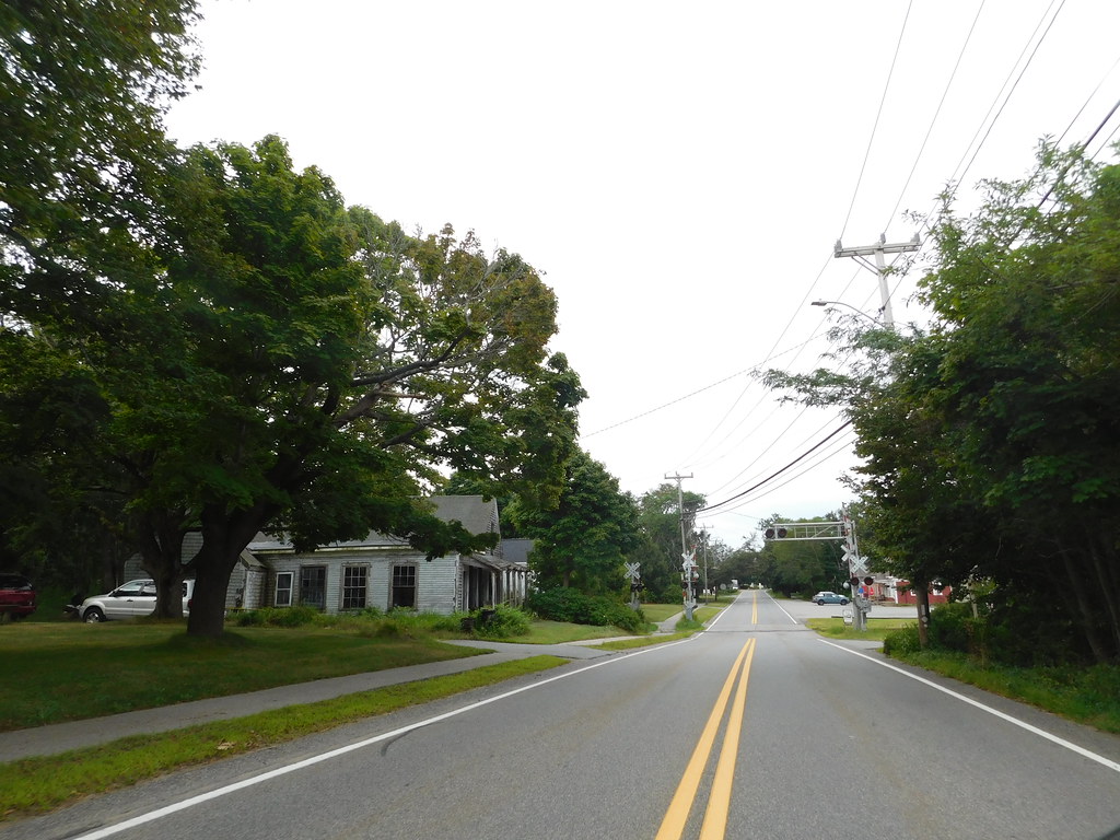
Barnstable is a town and the county seat of Barnstable County in Massachusetts. It is the largest community on Cape Cod, both in land area and population, and one of thirteen Massachusetts municipalities that have been granted city forms of government by the Commonwealth of Massachusetts but wish to retain “the town of” in their official names.
The town is home to several villages within its boundaries, including the largest village, Hyannis, which serves as the central business district of the county and is home to Barnstable Municipal Airport, the airline hub of Cape Cod, and the islands of Martha’s Vineyard and Nantucket.
At the 2020 census, Barnstable had a population of 48,916. The town was a 2007 winner of the All-America City Award. Visitors to Barnstable can explore a range of cultural attractions, including historic sites, museums, and art galleries. The town also offers a range of outdoor recreational opportunities, including beaches, parks, and hiking trails. With its intriguing history, natural beauty, and vibrant culture, Barnstable is an unmissable location for anyone traveling to Massachusetts.
Beverly
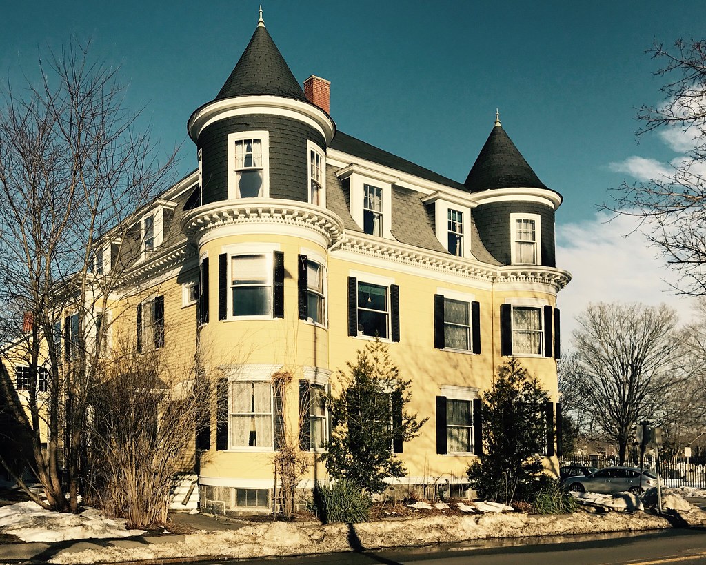
Beverly is a city located in Essex County, Massachusetts. The population of the city was 42,670 at the time of the 2020 United States Census. Beverly is a resort, residential, and manufacturing community on the Massachusetts North Shore, and includes several villages such as Ryal Side, North Beverly, Montserrat, Beverly Farms, and Prides Crossing.
The city is known for its rich maritime history and is a rival of Marblehead for the title of being the “birthplace of the U.S. Navy”. Visitors to Beverly can explore a range of cultural attractions, including historic sites, museums, and art galleries.
The city also offers a range of outdoor recreational opportunities, including parks, beaches, and hiking trails. With its rich heritage, beautiful surroundings, and exciting culture, Beverly is a great choice for anyone traveling to the area.
Boston

Boston is the capital and largest city of the U.S. state of Massachusetts, and the cultural and financial center of New England in the Northeastern United States. The city has an area of 48.4 sq mi and a population of 675,647 in 2020. Greater Boston metropolitan statistical area is the eleventh-largest in the country. Boston is one of the nation’s oldest municipalities, founded on the Shawmut Peninsula in 1630 by Puritan settlers from Boston, Lincolnshire.
During the American Revolution, Boston played a crucial role in several key events, including the Boston Massacre, the Boston Tea Party, and the Battle of Bunker Hill. Following American independence from Great Britain, the city continued to play an important role as a port, manufacturing hub, and center for education and culture.
Today, Boston is a thriving city that attracts many tourists, with Faneuil Hall alone drawing more than 20 million visitors per year. The city is also a global leader in higher education and academic research, with Harvard University and MIT among its many prestigious colleges and universities. Boston is a national leader in scientific research, law, medicine, engineering, and business, and is considered a global pioneer in innovation and entrepreneurship.
The city’s economic base also includes finance, professional and business services, biotechnology, information technology, and government activities. With its history, culture, and robust economy, Boston simply has to be visited.
Brockton

Brockton is a city located in Plymouth County, Massachusetts, United States. The population of the city was 105,643 at the 2020 United States census. Along with Plymouth, it is one of the two county seats of Plymouth County. Brockton is the sixth-largest city in Massachusetts and is sometimes referred to as the “City of Champions” due to the success of native boxers Rocky Marciano and Marvin Hagler, as well as its successful Brockton High School sports programs.
The city is home to two villages, Montello and Campello, both of which have MBTA Commuter Rail Stations and post offices. Campello is the smallest neighborhood but also the most populous. Brockton is also home to the Brockton Rox, a baseball team. The city is known for its windy climate, and it is the second-windiest city in the United States, with an average wind speed of 14.3 mph.
Visitors to Brockton can explore a range of cultural attractions, including historic sites, museums, and art galleries. The city also offers a range of outdoor recreational opportunities, including parks, hiking trails, and golf courses. With its rich heritage, energetic culture, and diverse economy, Brockton is a wonderful spot for anyone traveling to Massachusetts.
Brookline
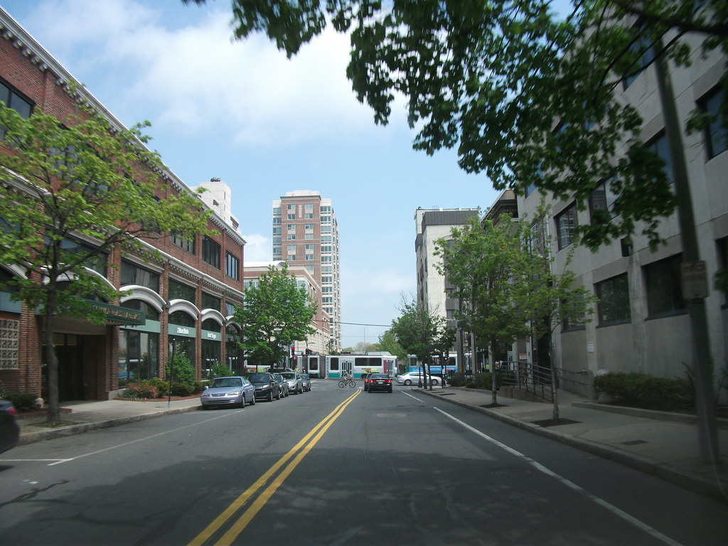
Brookline is a town located in Norfolk County, Massachusetts, United States, and is part of the Boston metropolitan area. The town borders six of Boston’s neighborhoods, including Brighton, Allston, Fenway-Kenmore, Mission Hill, Jamaica Plain, and West Roxbury. The city of Newton lies to the west of Brookline.
Brookline was first settled in 1638 as a hamlet in Boston known as Muddy River, and it was incorporated as a separate town in 1705. At the time of the 2020 census, the population of the town was 63,191, making it the most populous municipality in Massachusetts to have a town form of government. Brookline is known for its culture, diversity, and architecture.
Visitors to Brookline can explore a range of attractions, including historic sites, museums, and art galleries. The town also offers a range of outdoor recreational opportunities, including parks, hiking trails, and golf courses.
Chicopee
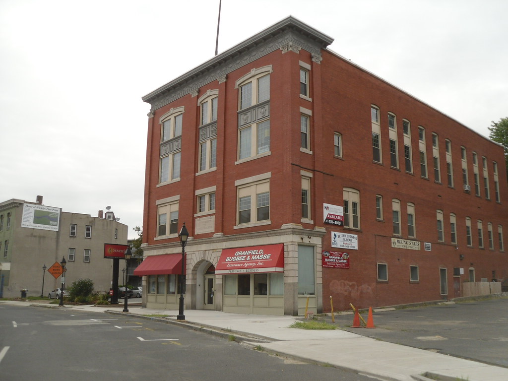
Chicopee is a city located on the Connecticut River in Hampden County, Massachusetts, United States. The city had a population of 55,560 at the 2020 census, making it the second-largest city in Western Massachusetts after Springfield. Chicopee is part of the Springfield, Massachusetts Metropolitan Statistical Area. The city is built around several smaller former mill communities on its namesake, the Chicopee River.
During the 19th century, Chicopee was home to the first American producer of friction matches, as well as a variety of other industries, including the Ames Manufacturing Company, which was the largest producer of swords and cutlasses for the Union Army during the Civil War. By the start of the 20th century, the city was home to a number of industrial plants, including those of the Fisk Tire Company and A. G. Spalding.
Today, Chicopee is home to a variety of specialty manufacturers, as well as Westover Air Reserve Base, the largest Air Force Reserve Base in the United States. The city is nicknamed the “Crossroads of New England” due to its location among a number of metropolitan areas and its transportation network, which includes four interstate highways and several state routes.
Visitors to Chicopee can explore a range of cultural attractions, including historic sites, museums, and art galleries. The city also offers a range of outdoor recreational opportunities, including parks and hiking trails. With its incredible history, bustling economy, and vibrant culture, Chicopee is an unmissable destination for anyone traveling to Massachusetts.
Fall River
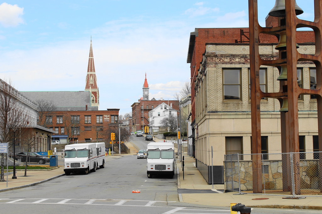
Fall River is a city located in Bristol County, Massachusetts, United States. The city’s population was 94,000 in the 2020 United States census, making it the tenth-largest city in the state. Located along the eastern shore of Mount Hope Bay at the mouth of the Taunton River, Fall River gained recognition during the 19th century as a leading textile manufacturing center in the United States. Although the textile industry has long since moved on, its impact on the city’s culture and landscape is still prominent.
Fall River is known for its numerous 19th-century textile mills, Battleship Cove, home of the world’s largest collection of World War II naval vessels, and its Portuguese culture. The city is also famous for the Lizzie Borden case, the Fall River cult murders, and its unique city hall, which is located over an interstate highway.
Fall River’s official motto is “We’ll Try,” dating back to the aftermath of the Great Fire of 1843. The city is nicknamed The Scholarship City after Irving Fradkin founded Dollars for Scholars there in 1958, and in 2017, Mayor Jasiel Correia introduced the “Make It Here” slogan as part of a citywide rebranding effort.
Visitors to Fall River can explore a range of cultural attractions, including historic sites, museums, and art galleries. The city also offers a range of outdoor recreational opportunities, including parks and hiking trails. Fall River is a wonderful spot for residents and visitors alike.
Fitchburg

Fitchburg is a city located in northern Worcester County, Massachusetts. The city is the third-largest in the county, with a population of 41,946 at the 2020 census. It is home to Fitchburg State University, which offers a range of undergraduate and graduate programs in fields such as business, education, and the arts.
Fitchburg is also home to 17 public and private elementary and high schools, providing students with a range of educational opportunities. Visitors to Fitchburg can explore a range of cultural attractions, including historic spots, museums, and art galleries.
The city also offers a range of outdoor recreational opportunities, including parks, hiking trails, and golf courses. With its fascinating heritage, vivacious culture, and thriving economy, Fitchburg is a welcoming location for anyone in Massachusetts.
Framingham
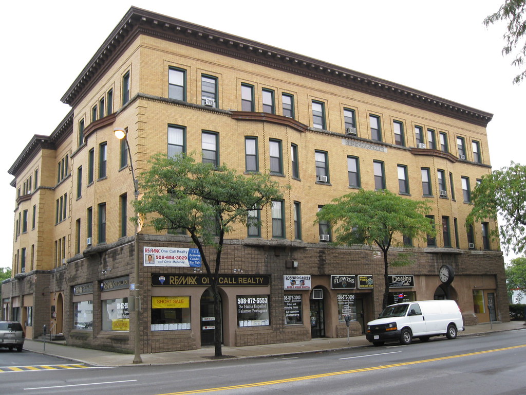
Framingham is a city located in Middlesex County and the MetroWest subregion of the Greater Boston metropolitan area in the Commonwealth of Massachusetts. The city was incorporated in 1700 and covers 25 square miles (65 km2) with a population of 72,362 in 2020, making it the 14th most populous municipality in Massachusetts.
In April 2017, residents voted in favor of adopting a charter to transition from a representative town meeting system to a mayor-council government, and the municipality transitioned to city status on January 1, 2018. Before it transitioned, it had been the largest town by population in Massachusetts.
Framingham is known for having one of the largest Brazilian-American populations in the United States, with a considerable Brazilian presence since the 1980s. Visitors to Framingham can explore a range of cultural hotspots, including historic sites, museums, and art galleries. The city also offers a range of outdoor recreational opportunities, including parks, hiking trails, and golf courses.
Haverhill
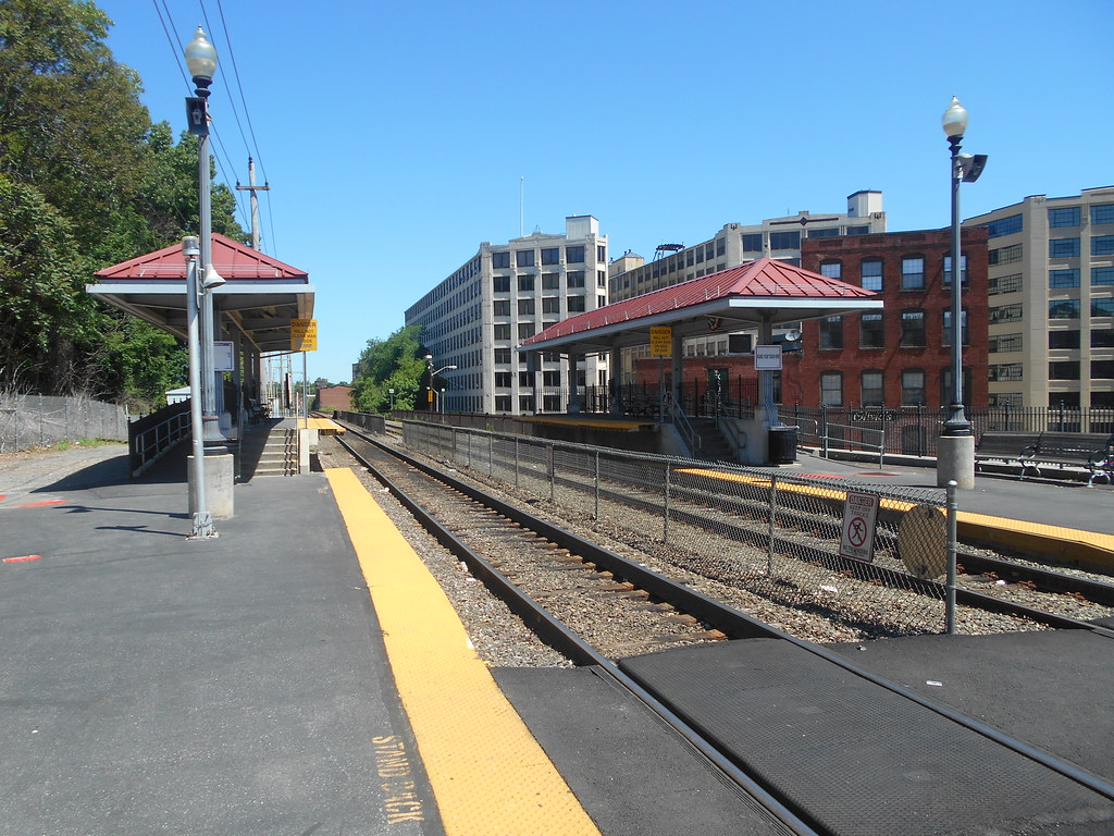
Haverhill is a city located in Essex County, Massachusetts. The city is situated 35 miles north of Boston on the New Hampshire border and about 17 miles from the Atlantic Ocean. The population of Haverhill was 67,787 at the 2020 United States census. Haverhill has a rich history, beginning as a farming community of Puritans largely from Newbury Plantation.
The land was officially purchased from the Pentuckets on November 15, 1642, for three pounds and ten shillings, and Pentucket was renamed Haverhill after the Ward family’s hometown in England. Haverhill evolved into an important industrial center, beginning with sawmills and gristmills run by water power. In the 18th and 19th centuries, Haverhill developed woolen mills, tanneries, shipping, and shipbuilding.
The town was home to a significant shoe-making industry for many decades, and by the end of 1913, one-tenth of the shoes produced in the United States were made in Haverhill. Because of this, the town was known during the time as the “Queen Slipper City.”
The city also offers a range of outdoor pursuits, including parks, hiking trails, and golf courses. With its deep sense of history, fascinating culture, and robust economy, Haverhill is a brilliant area for anyone traveling locally.
Lawrence

Lawrence is a city located in Essex County, Massachusetts, United States, on the Merrimack River. The city had a population of 89,143 at the 2020 census. Surrounding communities include Methuen to the north, Andover to the southwest, and North Andover to the east. Lawrence and Salem were the county seats of Essex County until the Commonwealth abolished county government in 1999.
Lawrence is part of the Merrimack Valley, and its economy is driven by manufacturing products such as electronic equipment, textiles, footwear, paper products, computers, and foodstuffs. Lawrence has a rich cultural history and has been the residence of poet Robert Frost for his early school years.
His essays and poems were first published in the Lawrence High School newspaper. The city is also the birthplace of composer and conductor Leonard Bernstein in 1918 and singer Robert Goulet in 1933. Visitors to Lawrence can explore a range of cultural attractions, including historic sites, museums, and art galleries.
Leominster

Leominster is a city located in Worcester County, Massachusetts, United States. It is the second-largest city in the county, with a population of 43,782 at the 2020 census. Leominster is located north of Worcester and northwest of Boston, with both Route 2 and Route 12 passing through the city.
Interstate 190, Route 13, and Route 117 all have starting or ending points in Leominster. The city is bounded by Fitchburg and Lunenburg to the north, Lancaster to the east, Sterling and Princeton to the south, and Westminster to the west. Visitors to Leominster can explore an array of attractions, both historical and cultural.
The city also offers a range of outdoor opportunities, including parks, hiking trails, and golf courses. With its wonderful location, absorbing culture, and bustling economy, Leominster is an unmissable location for visitors and residents.
Lowell
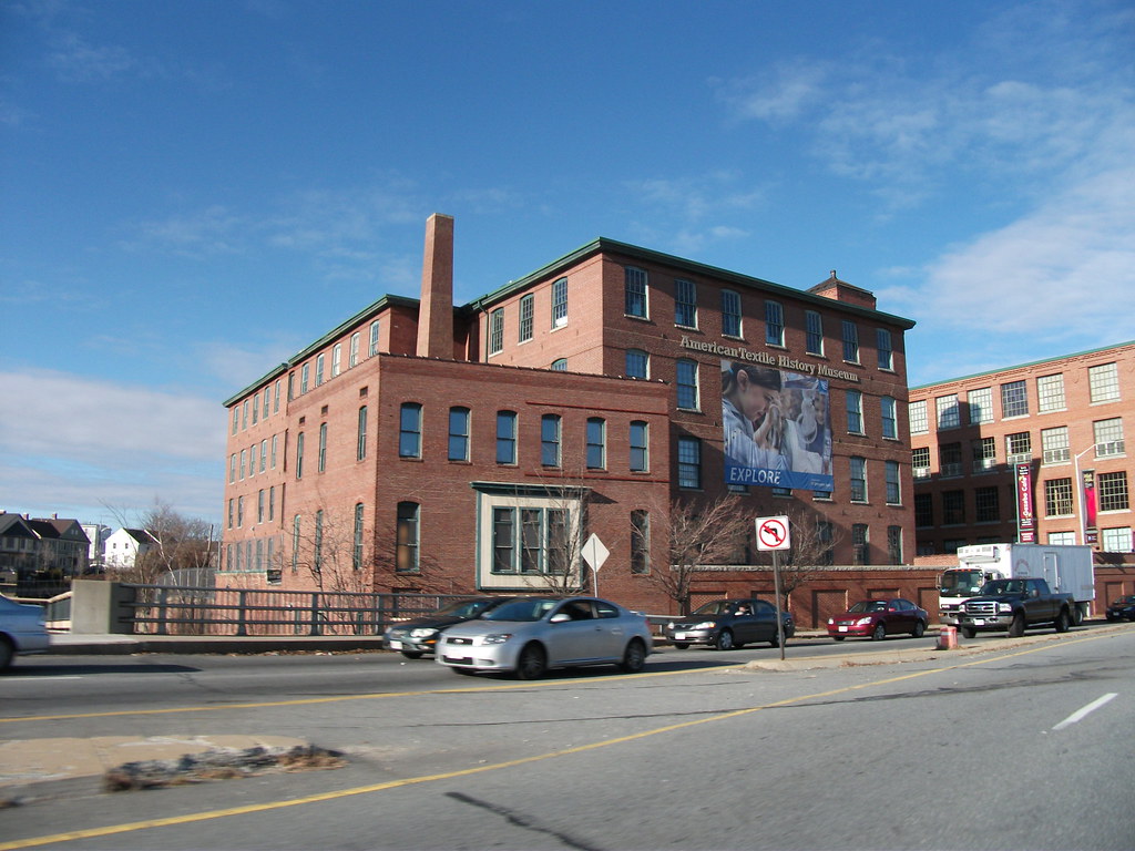
Lowell is a city in Massachusetts, United States, and alongside Cambridge, it is one of two traditional seats of Middlesex County. With an estimated population of 115,554 in 2020, it was the fifth most populous city in Massachusetts as of the last census, and the third most populous in the Boston metropolitan statistical area. The city is also part of a smaller Massachusetts statistical area called Greater Lowell and of New England’s Merrimack Valley region.
Incorporated in 1826 to serve as a mill town, Lowell was named after Francis Cabot Lowell, a local figure in the Industrial Revolution. The city became known as the cradle of the American Industrial Revolution because of its textile mills and factories. Many of Lowell’s historic manufacturing sites were later preserved by the National Park Service to create Lowell National Historical Park.
During the Cambodian genocide (1975–1979), the city took in an influx of refugees, leading to a Cambodia Town and America’s second-largest Cambodian-American population. Lowell is home to two institutions of higher education, UMass Lowell and Middlesex Community College.
Visitors to Lowell can enjoy art, history, culture, and the benefits of a strong local economy. The city also offers a range of outdoor pursuits and areas, including parks, hiking trails, and golf courses.
Lynn

Lynn is the largest city in Essex County and the eighth-largest municipality in Massachusetts, United States. Situated on the Atlantic Ocean, 3.7 miles north of the Boston city line at Suffolk Downs, Lynn is part of Greater Boston’s urban inner core. Settled by Europeans in 1629, Lynn is the 5th oldest colonial settlement in the Commonwealth. An early industrial center, Lynn was long colloquially referred to as the “City of Sin”, owing to its historical reputation for crime and vice.
Today, however, the city is known for its contemporary public art, immigrant population, historic architecture, downtown cultural district, loft-style apartments, and public parks and open spaces. Lynn’s open spaces include the oceanfront Lynn Shore Reservation, the 2,200-acre Frederick Law Olmsted-designed Lynn Woods Reservation, and the High Rock Reservation and Park designed by Olmsted’s sons.
Lynn is also home to Lynn Heritage State Park, the southernmost portion of the Essex Coastal Scenic Byway, and the seaside, National Register-listed Diamond Historic District. The population of Lynn was 101,253 at the 2020 United States census.
Visitors to Lynn can explore a wide variety of wonderful attractions, including historic sites, museums, and art galleries. The city also offers a range of outdoor opportunities, including parks, hiking, and golf.
Malden
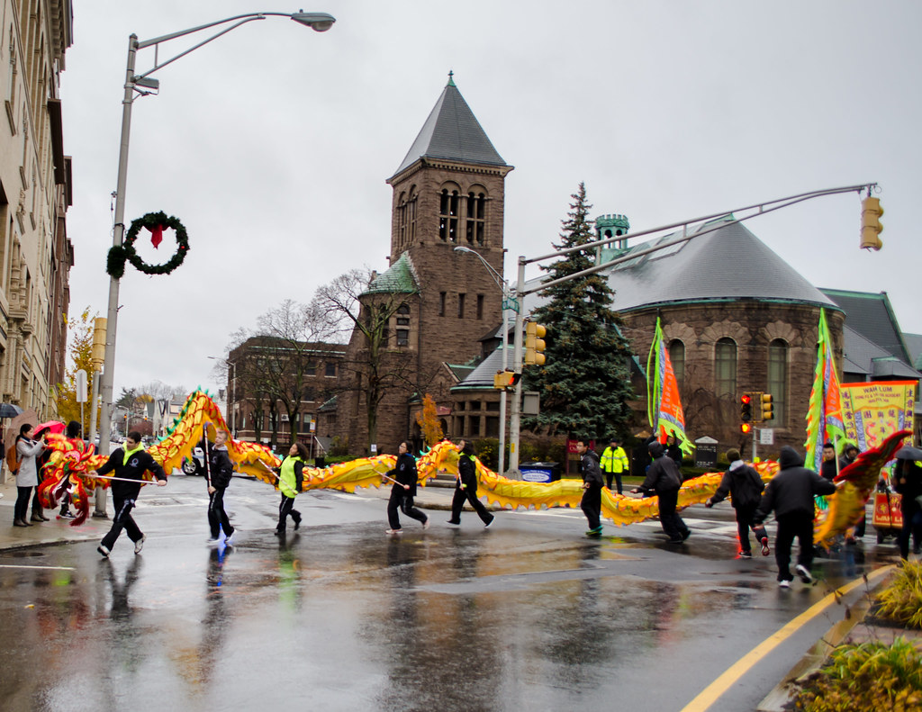
Malden is a city located in Middlesex County, Massachusetts, United States. At the time of the 2020 U.S. Census, the population was 66,263 people. Malden is a vibrant and diverse community that offers a range of cultural attractions, including historic sites, museums, and art galleries.
The city is also home to a range of outdoor recreational opportunities, including parks, hiking trails, and golf courses. Visitors to Malden can explore a range of cultural attractions, including the Malden Public Library, the Malden Historical Society Museum, and the Malden Arts Center.
The city also offers a range of dining options, with a variety of restaurants serving cuisines from around the world. With its rich history, energetic culture, and diverse community, Malden is an unmissable area for anyone looking to explore Massachusetts.
Marlborough
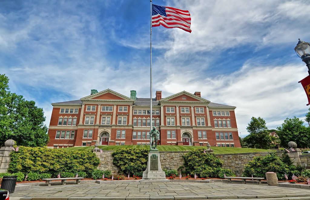
Marlborough is a city located in Middlesex County, Massachusetts, United States. The population was 41,793 at the 2020 census. Marlborough has a rich history, having been declared a town in 1660 and incorporated as a city in 1890 when it changed its municipal charter from a New England town meeting system to a mayor-council government.
The city became a prosperous industrial town in the 19th century and made the transition to high technology industry in the late 20th century after the construction of the Massachusetts Turnpike. Visitors to Marlborough can explore an array of attractions, including historic sites, museums, and art galleries.
The city also offers a range of recreational opportunities, including parks, trails, and golf courses. With its convenient location, exciting culture, and thriving economy, Marlborough is a must-visit spot for visitors to Massachusetts.
Medford

Medford is a city located 6.7 miles northwest of downtown Boston on the Mystic River in Middlesex County, Massachusetts, United States. At the time of the 2020 U.S. Census, Medford’s population was 59,659. The city has a rich history, having been settled in 1630 as part of Charlestown.
Visitors to Medford can explore a range of cultural attractions, including historic sites, museums, and art galleries. The city is also home to Tufts University, which has its campus along the Medford and Somerville border. Tufts University is a prestigious research university that offers a range of undergraduate and graduate programs.
Medford is also known for its beautiful parks and open spaces, including the Middlesex Fells Reservation, which offers hiking trails and scenic views of the Boston skyline. With its convenient location, rich cultural life, and a deep sense of heritage, it’s a great area to explore.
Methuen
Methuen is a 23-square-mile city located in Essex County, Massachusetts, United States. The population was 53,059 at the 2020 census. Methuen lies along the northwestern edge of Essex County, just east of Middlesex County and just south of Rockingham County, New Hampshire.
The city is bordered by Haverhill to the northeast, North Andover to the southeast, Lawrence and Andover to the south, Dracut (Middlesex County) to the west, Pelham, New Hampshire (Hillsborough County) to the northwest, and Salem, New Hampshire (Rockingham County) to the north.
Methuen is located 17 miles southwest of Newburyport, 30 miles north-northwest of Boston, and 25 miles south-southeast of Manchester, New Hampshire. Visitors to Methuen can explore a range of cultural attractions, including historic sites, museums, and art galleries, along with a range of outdoor recreational opportunities, including parks, hiking trails, and golf courses.
New Bedford
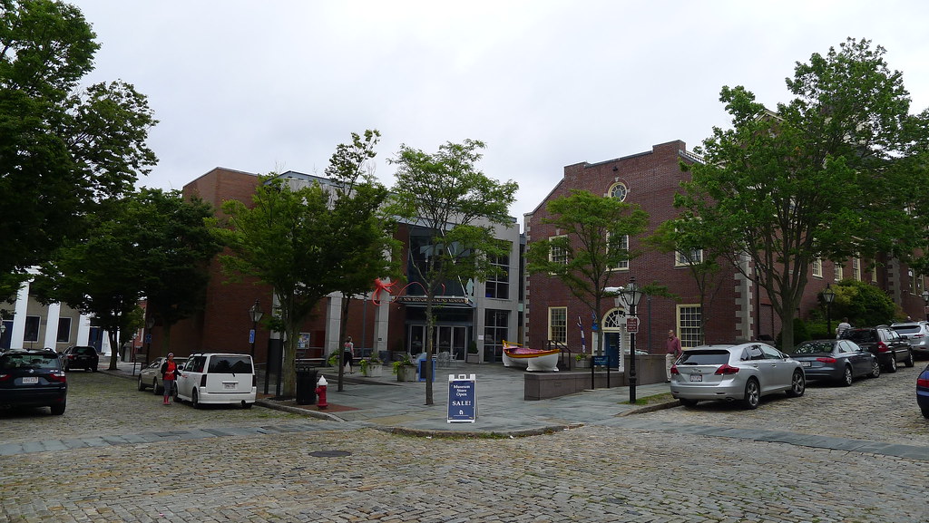
New Bedford is a city located in Bristol County, Massachusetts, United States. It is located on the Acushnet River in what is known as the South Coast region. The area was originally the territory of the Wampanoag Native American people, but English colonists bought the land on which New Bedford would later be built from the Wampanoag in 1652. The town of New Bedford was officially incorporated in 1787 and became one of the world’s most important whaling ports during the first half of the 19th century.
At its economic height during this period, New Bedford was the wealthiest city in North America per capita. The city was also a center of abolitionism and attracted many freed or escaped African-American slaves, including Frederick Douglass. New Bedford served as a setting in Herman Melville’s 1851 novel Moby-Dick.
Today, New Bedford has a population of 101,079, making it the state’s ninth-largest city and the largest of the South Coast region. The city is known for its high concentration of Portuguese Americans and its fishing fleet and accompanying seafood industry, which as of 2019 generated the highest annual value of any fishing port in the United States.
Visitors to New Bedford can explore a range of cultural attractions, including the New Bedford Whaling Museum and New Bedford Whaling National Historical Park. New Bedford is a fascinating historical and cultural location for anyone going to Massachusetts.
Newton

Newton is a city located in Middlesex County, Massachusetts, United States. It is approximately 7 miles west of downtown Boston. The city comprises a patchwork of thirteen villages without a city center, each with its own unique character and charm. At the 2020 U.S. census, the population of Newton was 88,923.
Visitors to Newton can explore a range of attractions, including historic sites, museums, and art galleries, parks, hiking trails, and golf courses. With its convenient location, vibrant culture, and welcoming community, Newton is a wonderful choice for anyone traveling to the area.
Pittsfield
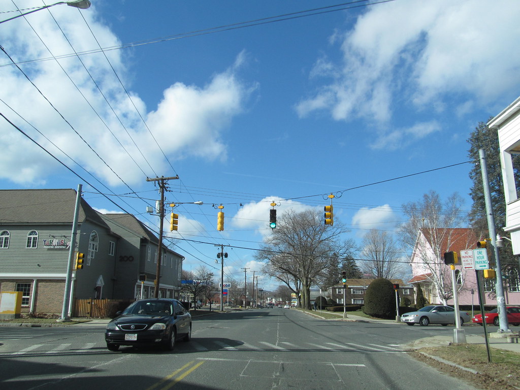
Pittsfield is the largest city and the county seat of Berkshire County, Massachusetts, United States. It is the principal city of the Pittsfield, Massachusetts Metropolitan Statistical Area, which encompasses all of Berkshire County. Pittsfield’s population was 43,927 at the 2020 census.
Although its population has declined in recent decades, Pittsfield remains the third-largest municipality in Western Massachusetts, behind only Springfield and Chicopee. In 2017, the Arts Vibrancy Index compiled by the National Center for Arts Research ranked Pittsfield and Berkshire County as the number-one medium-sized community in the nation for the arts.
Visitors to Pittsfield can explore a wide variety of cultural attractions. The city is also home to parks, hiking trails, and golf courses. With its vibrant arts scene, rich heritage, and beautiful surroundings, Pittsfield is an unmissable spot for visitors and residents. alike
Quincy
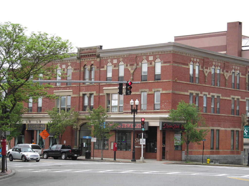
Quincy is a coastal city located in Norfolk County, Massachusetts, United States. It is the largest city in the county and a part of Metropolitan Boston as one of Boston’s immediate southern suburbs. Its population in 2020 was 101,636, making it the seventh-largest city in the state.
Quincy is known as the “City of Presidents” because it is the birthplace of two U.S. presidents – John Adams and his son John Quincy Adams – as well as John Hancock, the first signer of the Declaration of Independence and the first and third governor of Massachusetts.
First settled in 1625, Quincy was briefly part of Dorchester before becoming the north precinct of Braintree in 1640. Quincy became a city in 1888. For more than a century, Quincy was home to a thriving granite industry, and the city was also the site of the Granite Railway, the United States’ first commercial railroad.
Shipbuilding at the Fore River Shipyard was another key part of the city’s economy. In the 20th century, both Howard Johnson’s and Dunkin’ Donuts were founded in the city. Visitors to Quincy will enjoy its fascinating history, exciting culture, and beautiful coastal location.
Salem
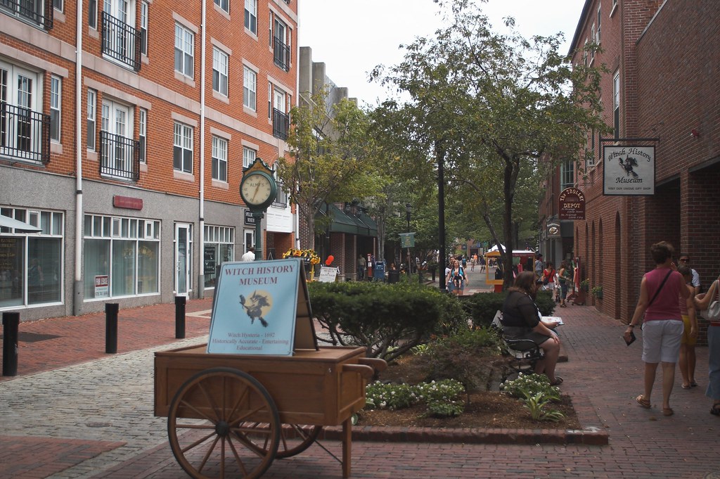
Salem is a historic coastal city located in Essex County, Massachusetts, United States, on the North Shore of Greater Boston. Continuous settlement by Europeans began in 1626 with English colonists, and Salem would become one of the most significant seaports trading commodities in early American history.
Today, Salem is a residential and tourist area that is home to a range of cultural attractions, including the House of Seven Gables, Salem State University, Pioneer Village, the Salem Maritime National Historic Site, Salem Willows Park, and the Peabody Essex Museum. The city also features historic residential neighborhoods in the Federal Street District and the Charter Street Historic District.
The city’s population was 44,480 at the 2020 census. Salem is widely noted for the infamous Salem witch trials of 1692, and the city has embraced this history in many ways. Some of Salem’s police cars are adorned with witch logos, a public elementary school is known as Witchcraft Heights, and the Salem High School athletic teams are named the Witches.
While Gallows Hill Park was originally believed to be the site of the executions during the Witch Trials, in 2016 a site nearby called Proctor’s Ledge was identified as the true site of the executions. Gallows Hill Park now serves as the major town park, with baseball fields, tennis courts, and other amenities.
Somerville
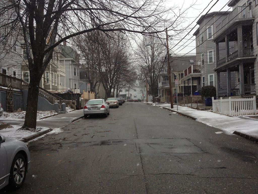
Somerville is a city located directly northwest of Boston and north of Cambridge, in Middlesex County, Massachusetts, United States. As of the 2020 United States Census, the city had a total population of 81,045 people. With an area of 4.12 square miles, the city has a density of 19,671/sq mi, making it the most densely populated municipality in New England and the 19th most densely populated incorporated municipality in the country.
Somerville was established as a town in 1842 when it was separated from Charlestown. In 2006, the city was named the best-run city in Massachusetts by The Boston Globe. In 1972, 2009, and 2015, the city received the All-America City Award. It is home to Tufts University, which has its campus along the Somerville and Medford border.
Visitors to Somerville can explore a variety of historic sites, museums, and art galleries. With its amazing culture, bustling economy, and exciting community, Somerville is an unmissable location for visitors to Massachusetts.
Springfield

Springfield is the largest city in and the seat of Hampden County, Massachusetts, United States. It sits on the eastern bank of the Connecticut River near its confluence with three rivers: the western Westfield River, the eastern Chicopee River, and the eastern Mill River. At the 2020 census, the city’s population was 155,929, making it the third-largest city in the Commonwealth of Massachusetts and the fourth-most populous city in New England after Boston, Worcester, and Providence.
Springfield was founded in 1636, the first Springfield in the New World. The city played a pivotal role in the American Revolution, and the Civil War, and was designated by George Washington as the site of the Springfield Armory because of its central location. Today, Springfield is the largest city in western New England and the urban, economic, and media capital of Massachusetts’ section of the Connecticut River Valley, colloquially known as the Pioneer Valley.
Springfield has several nicknames, including “The City of Firsts,” “The City of Homes,” and “Hoop City,” where basketball was invented in 1891 by Canadian James Naismith. The Hartford-Springfield region is known as the Knowledge Corridor, hosting over 160,000 university students and over 32 universities and liberal arts colleges.
The city of Springfield itself is home to Springfield College, Western New England University, American International College, and Springfield Technical Community College, among other higher educational institutions. Culture, history, outdoor recreation sites, and a thriving economy – Springfield has it all!
Taunton
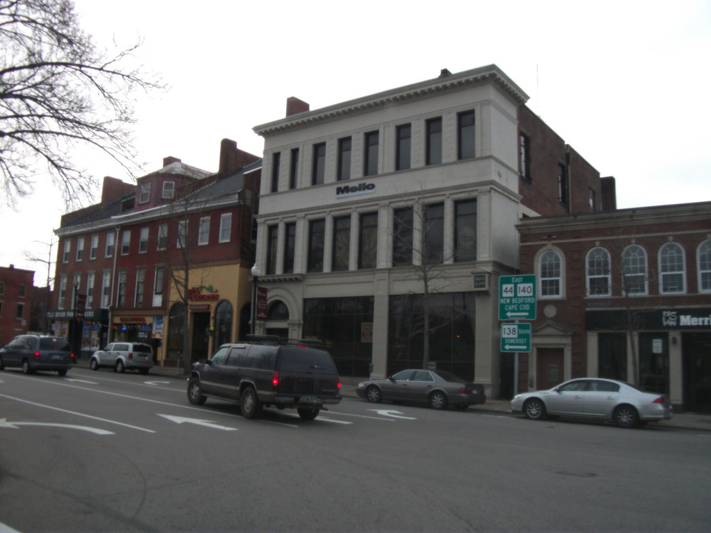
Taunton is a city located in Bristol County, Massachusetts, United States. It is the seat of Bristol County and is situated on the Taunton River, which winds its way through the city on its way to Mount Hope Bay, 10 miles to the south. At the 2020 census, the city had a population of 59,408. Founded in 1637 by members of the Plymouth Colony, Taunton is one of the oldest towns in the United States.
The Native Americans called the region Cohannet, Tetiquet, and Titicut before the arrival of the Europeans. Taunton is also known as the “Silver City,” as it was a historic center of the silver industry beginning in the 19th century when companies such as Reed & Barton, F. B. Rogers, Poole Silver, and others produced fine-quality silver goods in the city.
Since December 1914, the city of Taunton has provided a large annual light display each December on Taunton Green, giving it the additional nickname of the Christmas City. The original boundaries of Taunton included the land now occupied by many surrounding towns, including Norton, Easton, Mansfield, Dighton, Raynham, Berkley, and Lakeville. Possession of the latter is still noted by the naming of Taunton Hill in Assonet.
Waltham
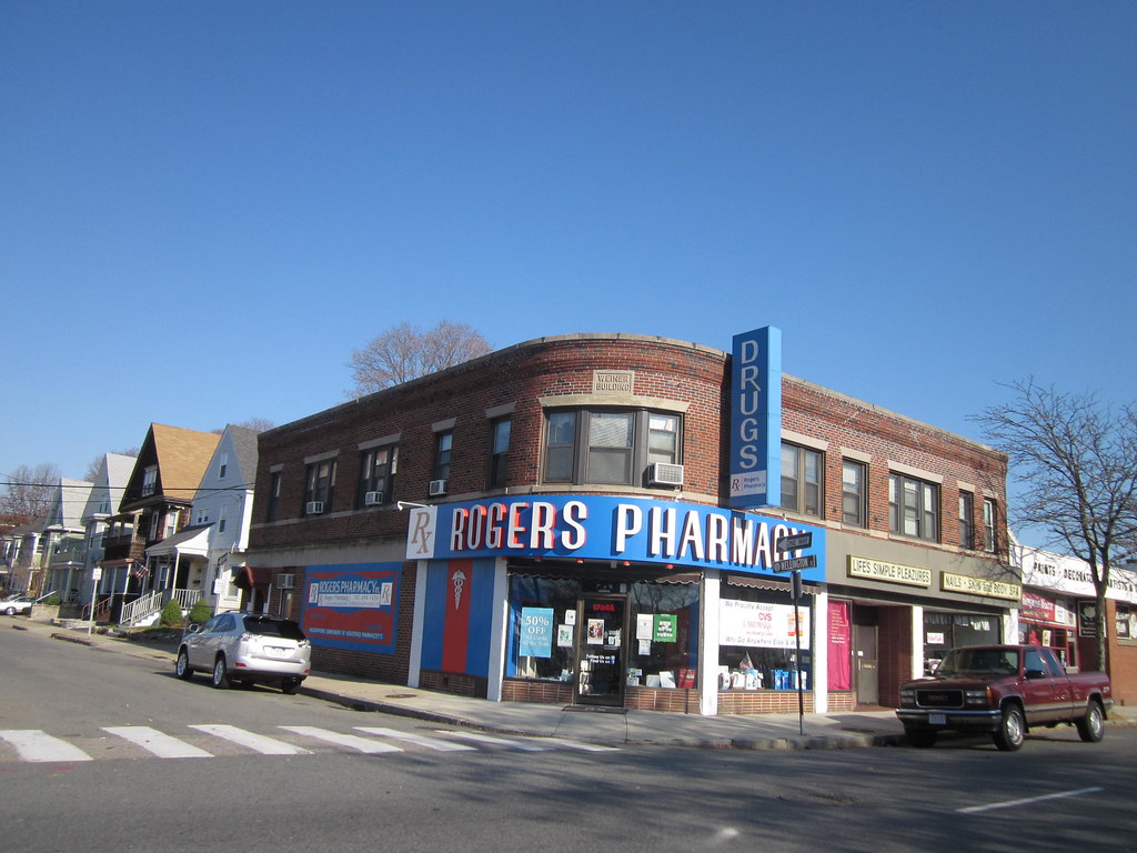
Waltham is a city in Middlesex County, Massachusetts, United States, and was an early center for the labor movement as well as a major contributor to the American Industrial Revolution. The original home of the Boston Manufacturing Company, the city was a prototype for 19th-century industrial city planning, spawning what became known as the Waltham-Lowell system of labor and production.
The city is now a center for research and higher education, home to Brandeis University and Bentley University as well as industrial powerhouse Raytheon Technologies. The population was 65,218 at the census in 2020. Waltham has been called “watch city” because of its association with the watch industry.
Waltham Watch Company opened its factory in Waltham in 1854 and was the first company to make watches on an assembly line. It won the gold medal in 1876 at the Philadelphia Centennial Exposition. The company produced over 35 million watches, clocks, and instruments before it closed in 1957. Waltham has plenty of cultural, economic, and historical attractions for visitors of all tastes.
Westfield

Westfield is a city located in Hampden County, in the Pioneer Valley of western Massachusetts, United States. It was first settled by Europeans in 1660 and is part of the Springfield, Massachusetts Metropolitan Statistical Area. With a population of 40,834 at the 2020 census, Westfield is a vibrant and thriving community with a rich history and culture.
Visitors to Westfield can explore a range of cultural attractions, including historic sites, museums, and art galleries. The city is also home to Westfield State University, a public university that offers a range of undergraduate and graduate programs. Westfield is a must-visit destination for anyone traveling to Massachusetts.
Woburn
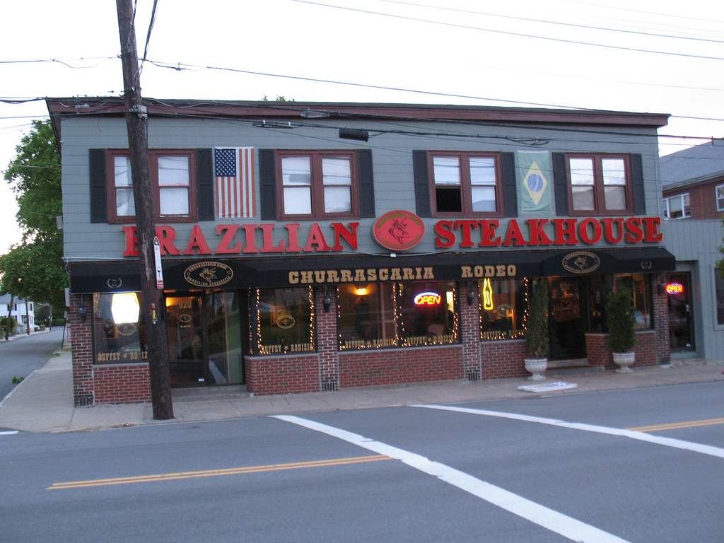
Woburn is a city located in Middlesex County, Massachusetts, United States. With a population of 40,876 at the 2020 census, Woburn is a vibrant and growing community just 9 miles north of Boston. The city uses Massachusetts’ mayor-council form of government, in which an elected mayor is the executive and a partly district-based, partly at-large city council is the legislature.
Interestingly, Woburn is the only one of Massachusetts’ 351 municipalities to refer to members of its City Council as “Aldermen.” Visitors to Woburn can explore a range of cultural attractions, including historic sites, museums, and art galleries.
The city is also home to a number of parks and recreational facilities, making it a great destination for outdoor enthusiasts. With its beautiful location, fascinating heritage, and vibrant arts scene, Woburn is a wonderful place to visit.
Worcester

Worcester is the second-largest city in the Commonwealth of Massachusetts and the 114th most populous city in the United States. Named after Worcester, England, the city’s population was 206,518 at the 2020 census, making it the second-most populous city in New England after Boston. Worcester is known as the “Heart of the Commonwealth” due to its location near the geographic center of Massachusetts, and a heart is the official symbol of the city.
Worcester developed as an industrial city in the 19th century, producing machinery, textiles, and wire. However, the city’s manufacturing base declined following World War II. The city’s population and economy were revitalized in the 1990s, with the growth of higher education, medicine, biotechnology, and new immigrant communities.
Worcester is now known for its diversity and large immigrant population, as well as its center of higher education, which includes eight colleges and universities. The city is also a regional government, employment, and transportation hub, and is increasingly integrated with Boston’s suburbs. It is rich with history and culture and is bolstered by a growing economy
Highways
Route 1

U.S. Route 1 (US 1) is a major north-south highway in Massachusetts, traveling through five counties: Essex, Middlesex, Suffolk, Norfolk, and Bristol. The road has several names depending on the location, with the portion south of Boston known as the Boston-Providence Turnpike, Washington Street, or the Norfolk and Bristol Turnpike.
Meanwhile, the portions north of Boston are known as the Northeast Expressway and the Newburyport Turnpike. US 1 is an important transportation route, connecting major cities and towns in Massachusetts and beyond. Visitors to Massachusetts can explore a range of cultural attractions, historic sites, and natural wonders along the route, making it a great way to experience the state’s rich history and vibrant culture.
Route 3

U.S. Route 3 in Massachusetts closely follows the route of the early 19th-century Middlesex Canal and Middlesex Turnpike. The modern Northwest Expressway was begun near Route 110 in Lowell before World War II. The 21-mile widening project was completed in 2005 from Burlington to the New Hampshire border, making the four-lane road a six-lane road with a breakdown lane on both sides of the road.
The roadbed and bridges were built to support a fourth lane in each travel direction for future expansion. The final section of the expressway was planned for inner suburban towns northwest of Boston, Massachusetts, but was canceled in Governor Francis Sargent’s 1970 moratorium on expressway construction within Route 128.
The original plan called for US 3 and Route 2 to link up at the Lexington-Arlington border and continue southeasterly, crossing Route 16/Mystic Valley Parkway at the Arlington-Somerville border and proceeding into Cambridge toward Union Square, Somerville. Despite the cancellation of the final section, the Northwest Expressway remains an important transportation route, connecting major cities and towns in Massachusetts and beyond.
Route 6

U.S. Route 6 (US 6) in Massachusetts is a 117.952-mile-long portion of the cross-country route connecting Providence, Rhode Island, to Fall River, New Bedford, and Cape Cod.
In the Fall River and New Bedford areas, US 6 parallels Interstate 195 (I-195), while on Cape Cod, it is a highway interconnecting the towns of the area. The freeway section in this area is also known as the Mid-Cape Highway. The highway is also alternatively signed as the “Grand Army of the Republic Highway”.
However, the section of the Mid-Cape Highway between exit 78 and the Orleans Rotary is known to locals as “Suicide Alley” due to the number of fatal accidents that happen on this stretch of two-lane freeway with only a berm separating the lanes of traffic. Despite this, US 6 remains an important transportation route, providing access to popular tourist destinations and commercial centers in southeastern Massachusetts.
Route 7

U.S. Route 7 (US 7) in Massachusetts is a 54-mile section of the larger federal route extending from southern Connecticut to the northernmost part of Vermont. The entire route in Massachusetts is within Berkshire County, passing through several towns, including Sheffield, Great Barrington, and Pittsfield.
US 7 is an important transportation route in the region, connecting major towns and cities in Berkshire County and beyond. Visitors to Massachusetts can explore a range of cultural attractions, historic sites, and natural wonders along the route, making it a great way to experience the state’s rich history and vibrant culture in the western part of the state.
Route 20
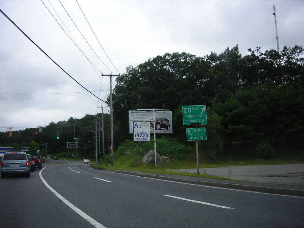
U.S. Route 20 (US 20) runs its easternmost 153 miles in the U.S. state of Massachusetts, crossing the state border from New Lebanon, New York, into Hancock and running eastward to Boston, where it ends at Route 2 in Kenmore Square. The highway largely parallels I-90 (Massachusetts Turnpike), which has largely superseded US 20 for through travel.
Despite this, US 20 directly serves many towns and local business areas which the turnpike bypasses, making it a key transportation route for local traffic. Parts of US 20 between the Worcester and Boston areas are part of an alignment of the Boston Post Road, an early colonial highway designated in 1673 for carrying mail between New York City and Boston.
US 20 is still locally known as the “Boston Post Road” in the towns of Northborough, Marlborough, Sudbury, Wayland, and Weston. With an estimated length of 3,365 miles between Boston and Newport, Oregon, US 20 is currently the longest-numbered highway in the entire country.
Route 44

U.S. Route 44 (US 44) runs for 38.4 miles in Massachusetts, entering the state in the town of Seekonk along Taunton Avenue. It passes through the towns of Rehoboth and Dighton along the way to the city of Taunton, where it takes on a more urban character as it cuts through the heart of the city.
The route runs along the south side of Taunton Green, flanked by shops, businesses, and government buildings. US 44 continues eastward from Taunton through the towns of Raynham, Lakeville, Middleborough, Carver, Plympton, and Kingston before reaching its eastern terminus at Plymouth.
The highway has interchanges with Route 24 in Raynham and with Interstate 495 in Middleborough. US 44 also has a newly built, 7.5-mile-long freeway section to Route 3 which bypasses the congested business district in Plymouth.
Visitors to Massachusetts can explore a range of cultural attractions, historic sites, and natural wonders along the route, including Anawan Rock in Rehoboth, the site of the capture of Anawan, the War Chief of the Pocasset People, in 1676, and Oliver Mill Park in Middleborough, site of Judge Peter Oliver’s 18th-century industrial complex.
Route 202
U.S. Route 202 (US 202) is posted as a north-south highway in Massachusetts, running mostly in those directions for its length through the state, unlike elsewhere in New England. US 202 and Route 10 enter the Bay State at the “Congamond Notch” in Southwick, a southward jog in the state line that includes Congamond Lake.
The highway turns eastward toward Holyoke, crosses the Connecticut River on the Joseph E. Muller Bridge, and travels for 1.5 miles as a limited access bypass of South Hadley, traversing MA 116 and MA 33 toward Belchertown. After crossing MA 9, it then heads north along the west side of the Quabbin Reservoir through New Salem toward Athol. This section of US 202 has been dubbed the Daniel Shays Highway, named for a Revolutionary War veteran who led an insurrection against the state government of Massachusetts.
US 202 meets Massachusetts Route 2 at Orange and runs along the two-lane freeway to Phillipston. There, it diverges to the north again as a two-lane road, passing through the municipalities of Southwick, Westfield, Holyoke, South Hadley, Granby, Belchertown, Pelham, Shutesbury, New Salem, Orange, Athol, Phillipston, Templeton, and Winchendon.
The stretch of highway through Belchertown, Pelham, Shutesbury, and New Salem opened in 1935 to coincide with the completion and opening of the Quabbin Reservoir. Visitors to Massachusetts can explore the natural beauty of the Quabbin Reservation, although access to the west side of the Quabbin Reservation is limited to multiple gates in the three towns, with no public access to the Prescott Peninsula.
Interstates
Interstate 91
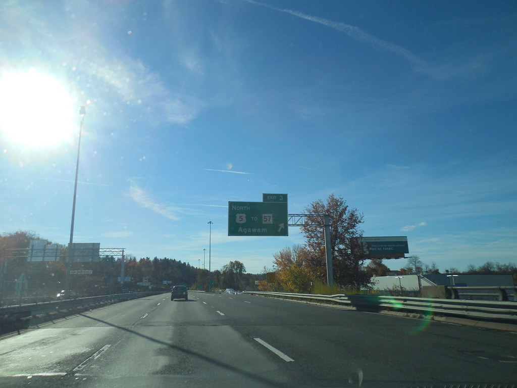
Interstate 91 (I-91) extends 55 miles through the Pioneer Valley of western Massachusetts, paralleling the Connecticut River. The highway serves as the major transportation corridor through three Massachusetts counties, linking the cities of Springfield, Northampton, and Greenfield. These three cities serve as the control cities listed on guide and mileage signs, along with Brattleboro, Vermont, beginning with the first northbound conventional mileage sign in Longmeadow.
In Springfield, I-91 has an interchange with I-291 at exit 6, a 5.44-mile-long spur going eastbound to connect with the Massachusetts Turnpike. North of Springfield, I-91 briefly enters Chicopee before turning westward to cross the Connecticut River into West Springfield. Just after the river crossing, exit 11 is a major interchange with the Massachusetts Turnpike.
Continuing north, I-91 enters Hatfield, where it begins a straight section of nearly six miles without a bend in the road. Massachusetts is the only state traversed by I-91 where another numbered highway is concurrent with the Interstate, in this case, US 5 and Route 2.
Interstate 93

Interstate 93 (I-93) in Massachusetts begins at exit 26 of I-95 in Canton, cosigned with US 1 north. The highway runs east through Boston’s southern suburbs, passing through Canton and Randolph, and meeting the northern end of Route 24 at exit 4 in Randolph. I-93 continues east into Braintree, interchanging with Route 3 at exit 7 before turning northward toward Boston.
The highway is known as the Southeast Expressway, passing through Quincy and Milton before crossing into the city of Boston over the Neponset River. After passing through Downtown Boston, I-93 continues north out of the city and through the northern suburbs of Boston. It meets I-95 and Route 128 twice, providing access to Maine and New Hampshire.
I-93 has 46 numbered exits in Massachusetts, and nearly the entire length of the highway carries four lanes in each direction. Average daily traffic volumes on I-93 in the state range from 100,000 vehicles at the New Hampshire border to over 200,000 vehicles through Braintree and Quincy.
Interstate 95
Interstate 95 (I-95) is a part of the Interstate Highway System that spans 92 miles along a north-south axis in the US state of Massachusetts, paralleling the East Coast of the United States from Miami, Florida, in the south to Houlton, Maine, in the north. It is the third-longest Interstate Highway in Massachusetts, behind I-90 (the Massachusetts Turnpike) and I-495, while I-95 in full is the longest north-south Interstate and sixth-longest Interstate Highway in the US.
The highway’s southern terminus within the state is located in Attleboro, where it enters from Pawtucket, Rhode Island. It intersects with US Route 1 and the northern terminus of I-295 within Attleboro, I-495 in Mansfield, and US 1 in Sharon before arriving at an interchange with I-93, US 1, and Route 128 in Canton.
While earlier plans called for I-95 to run northeastward through Boston, these plans were squashed due to fierce community opposition. As such, Boston is one of only two major east coast cities that I-95 bypasses. Within Salisbury, it intersects the northern terminus of I-495 and arrives at its own northern terminus, where it continues into Seabrook, New Hampshire, as the Blue Star Turnpike.
Interstate 395
Interstate 395 (I-395) is an auxiliary Interstate Highway in Connecticut and Massachusetts, maintained by the Connecticut Department of Transportation and the Massachusetts Department of Transportation. Spanning nearly 67 miles on a south-north axis, it is the only spur route of I-95 in Connecticut.
The 36-mile section between its splits from I-95 in East Lyme and Connecticut Route 695 in Plainfield is a component highway of the Connecticut Turnpike. Within Connecticut, the highway is named the American Ex-Prisoner of War Memorial Highway from Plainfield to Thompson.
The highway was first established as part of the Connecticut Turnpike in 1958, while the Connecticut Route 52 designation was applied to the portion north of the Turnpike in 1967. The current designation of I-395 was assigned in 1983, replacing the intended southern extension of I-290.
Interstate 495

Interstate 495 (I-495) is an auxiliary route of I-95 in Massachusetts, maintained by the Massachusetts Department of Transportation. Spanning 121.56 miles, it is the second-longest auxiliary route in the Interstate Highway System. I-495 serves as one of two beltways that form a semicircle around Boston, intersecting seven additional radial expressways.
Its northern terminus is in Salisbury, where it splits from I-95, and its southern terminus is in Wareham, at the meeting of I-195 and Route 25. I-495 and areas to its immediate east are often regarded as the inner ring of Greater Boston, while its northern segment parallels the New Hampshire border and its southern end is roughly 10 miles north of Cape Cod. The heavily traveled route serves communities in Plymouth, Bristol, Norfolk, Worcester, Essex, and Middlesex counties.
Interstate 84

Interstate 84 (I-84) in Massachusetts is the easternmost segment of the eastern I-84 freeway originating in Dunmore, Pennsylvania. Within Massachusetts, I-84 exists in the towns of Holland and Sturbridge and is known as the Wilbur Cross Highway.
It has also been signed as Route 15 between 1948 and 1980 as well as Interstate 86 (I-86) between 1971 and 1984. The Massachusetts segment of I-84 is the shortest state length of the four states it travels through.
Interstate 90
I-90 in Massachusetts is concurrent with the entirety of the Massachusetts Turnpike, also known as “the Pike” or “MassPike”. The turnpike begins at the New York state line in West Stockbridge and travels southeast through the Berkshires to the Pioneer Valley. It crosses the Connecticut River into Chicopee and continues east through the hills of Central Massachusetts, serving as the eastern terminus of I-84 in the town of Sturbridge.
From Sturbridge, the turnpike travels northeast towards Worcester, passing through the city’s southern outskirts and serving as the northern and western terminus of I-395 and I-290 in Auburn. It continues to an interchange with I-495 near Westborough and travels through the western suburbs of Boston, passing through Framingham before intersecting I-95/Route 128 on the border of Weston and Newton.
The turnpike continues along the Charles River into Boston, passing under the Prudential Tower complex in the Back Bay neighborhood and entering a tunnel that passes Boston University and Fenway Park. It intersects I-93 on the south side of Downtown Boston and travels under the Fort Point Channel to serve the Seaport District before entering the Ted Williams Tunnel, which travels northeast under Boston Harbor to the passenger terminals at Logan International Airport. The turnpike terminates at an interchange with Route 1A in East Boston.

