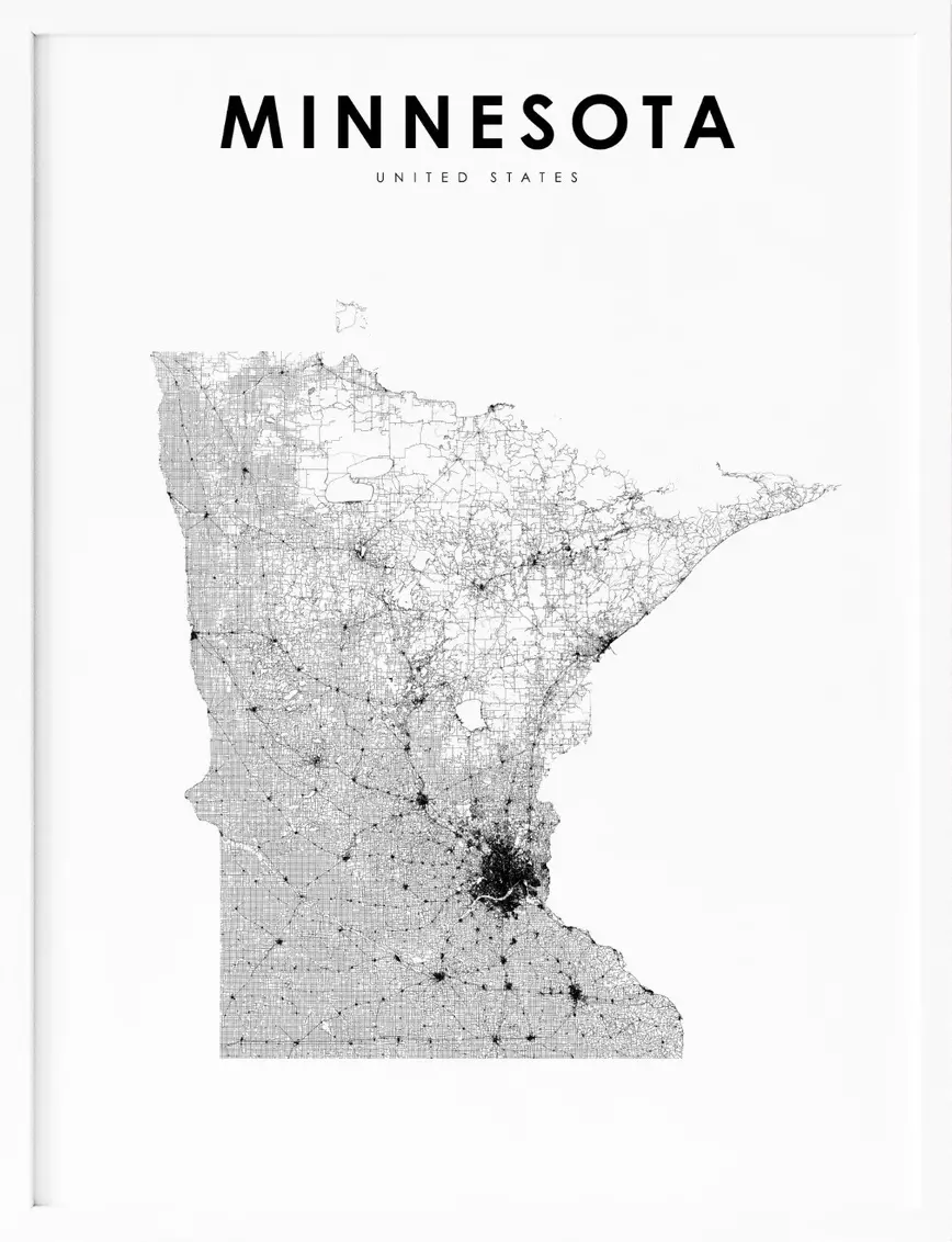
Minnesota, located in the Midwestern region of the United States, is a state known for its stunning natural beauty, vibrant culture, and rich history. With its expansive lakes, towering forests, and bustling urban centers, Minnesota offers a unique blend of nature and culture. To help visitors and residents navigate this beautiful state, we have created a detailed map of Minnesota with cities and highways.
This map highlights Minnesota’s major cities, including Minneapolis, Saint Paul, Duluth, and Rochester, as well as its primary highways and roads. Whether you’re planning a road trip or simply want to explore Minnesota’s unique landscape and culture, this map is an essential tool. So, grab your map and get ready to discover all that Minnesota has to offer, from its world-renowned museums to its charming small towns and everything in between.
Printable Minnesota Map With Cities and Highways
Cities
Albert Lea
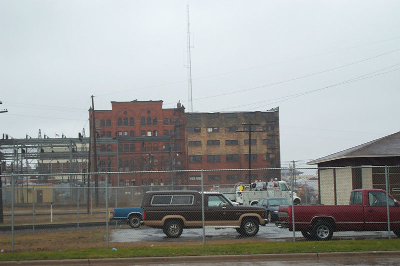
Albert Lea is a city in Freeborn County, located in southern Minnesota. It serves as the county seat and has a population of 18,492 as of the 2020 census. The city is situated about 90 miles south of the Twin Cities and is surrounded by several lakes, including Fountain Lake, Pickerel Lake, Albert Lea Lake, Goose Lake, School Lake, and Lake Chapeau.
Fountain Lake and Albert Lea Lake are part of the Shell Rock River flowage. The city’s early growth was based on agriculture, farming support services, and manufacturing, and it was a significant rail center. At one time, it was the site of Cargill’s headquarters. However, like many other U.S. cities, Albert Lea’s manufacturing base has substantially diminished over the years.
The city was once home to Wilson & Company, a major meatpacking plant, which later became known as Farmstead and Farmland. Unfortunately, this facility was destroyed by fire in July 2001. Despite these challenges, Albert Lea remains a charming city with a rich history and plenty of natural beauty to explore.
Austin
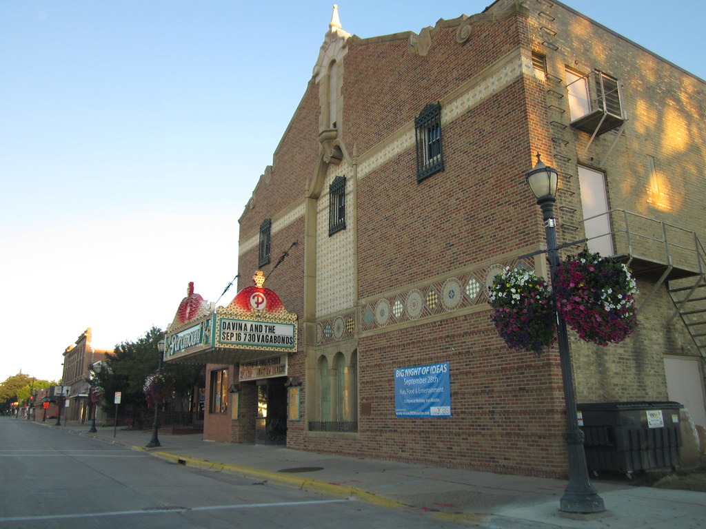
Austin is a city in Mower County, Minnesota, serving as the county seat. As of the 2020 census, the population of Austin was 26,174. The town was originally settled along the Cedar River and is home to two artificial lakes, East Side Lake and Mill Pond. It was named after Austin R. Nichols, the area’s first European settler.
Hormel Foods Corporation, which produces the famous SPAM tinned meat, is the largest employer in Austin, earning the town the nickname “SPAM Town USA.” Hormel’s corporate headquarters and the SPAM Museum are both located in Austin.
Additionally, the town is home to the Hormel Institute, a leading cancer research institution operated by the University of Minnesota with significant support from the Mayo Clinic. In 2015, Austin was named one of the “Top 10 Affordable Small Towns Where You’d Actually Want to Live” and one of the “Best Small Cities in America.”
Bemidji
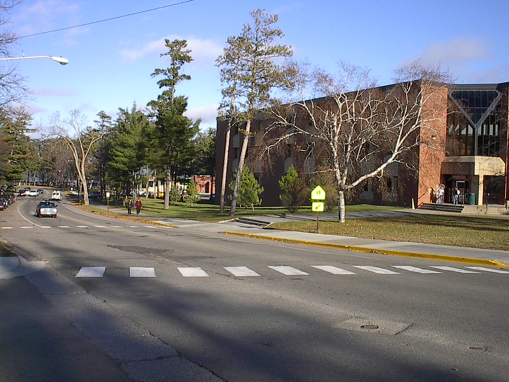
Bemidji is a city and the county seat of Beltrami County in northern Minnesota, with a population of 14,574 as of the 2020 census. According to 2021 census estimates, the city is estimated to have a population of 15,279, making it the largest commercial center between Grand Forks, North Dakota, and Duluth.
Bemidji is a central city for three Indian reservations, and the site of many Native American services, including the Indian Health Service. The city is situated near the Red Lake Indian Reservation, White Earth Indian Reservation, and the Leech Lake Indian Reservation.
Bemidji is located on the southwest shore of Lake Bemidji, the northernmost lake feeding the Mississippi River, earning it the nickname “The First City on the Mississippi.” The city is also known as the “curling capital” of the U.S. and is the alleged birthplace of legendary Paul Bunyan. With its rich cultural heritage, stunning natural beauty, and vibrant community, Bemidji is a must-visit destination for anyone traveling to northern Minnesota.
Bloomington
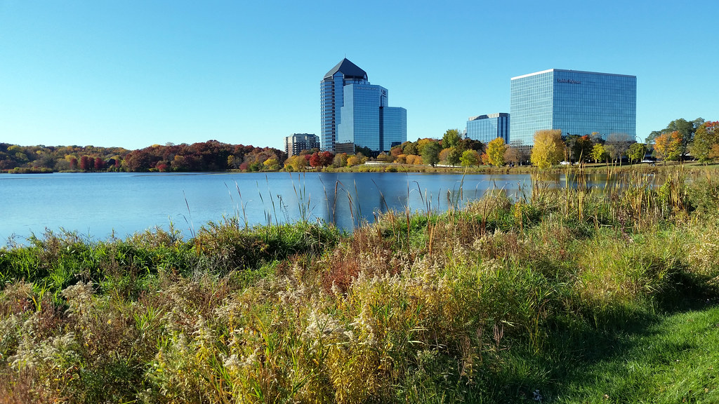
Bloomington is a city in Hennepin County, Minnesota, located on the north bank of the Minnesota River, above its confluence with the Mississippi River, 10 miles south of downtown Minneapolis. With a population of 89,987 at the 2020 census, Bloomington is Minnesota’s fourth-largest city.
The city was established as a post-World War II housing boom suburb connected to Minneapolis’s urban street grid and is serviced by two major freeways: Interstate 35W and Interstate 494. Bloomington is home to the United States’ largest enclosed shopping center, the Mall of America, which contributes to the city’s high number of jobs per capita.
Other major employers include Ceridian, Donaldson Company, HealthPartners, Toro, Pearson, General Dynamics, Seagate Technologies, Express Scripts, and Dairy Queen. Besides an extensive city park system, with over 1,000 square feet of parkland per capita, Bloomington is also home to Hyland Lake Park Reserve in the west and Minnesota Valley National Wildlife Refuge in the southeast. The city was named after Bloomington, Illinois.
Brainerd
Brainerd is a city in Crow Wing County, Minnesota, with a population of 14,395 as of the 2020 census. It is also the county seat of Crow Wing County. Brainerd is situated on the Mississippi River several miles upstream from its confluence with the Crow Wing River.
The city was founded as a site for a railroad crossing above the confluence. Brainerd is the principal city of the Brainerd Micropolitan Area, which covers Cass and Crow Wing counties, and has a combined population of 96,189 as of the 2020 census.
The city is well known for being the partial setting of the 1996 film Fargo. With its natural beauty, rich cultural heritage, and bustling community, Brainerd is an unmissable destination for anyone traveling to northern Minnesota.
Brooklyn Park
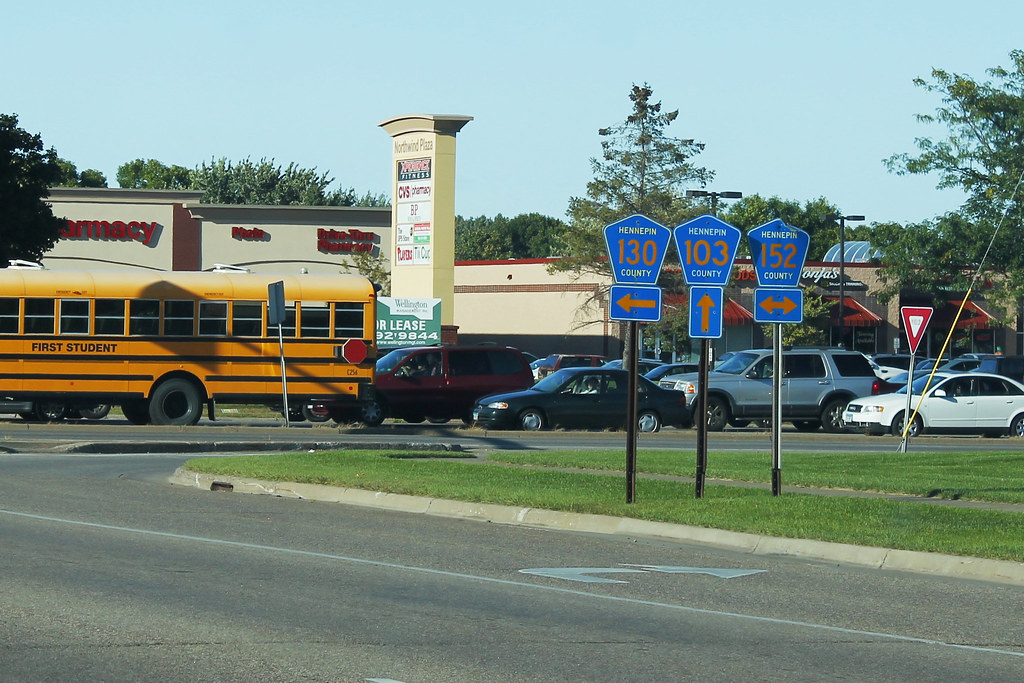
Brooklyn Park is a suburban city located on the west bank of the Mississippi River, upstream from downtown Minneapolis, in northern Hennepin County. With a population of 86,478 at the 2020 census, it is the sixth-largest city in Minnesota. The city still has undeveloped land and farms, including the historic Eidem Homestead, a 1900s working farm that is a popular tourist attraction for families and school field trips.
Brooklyn Park is considered both a second and third-tier suburb of Minneapolis, with much of the land north of 85th Avenue developed after 2000. WWE Hall of Fame wrestler Jesse Ventura served as mayor of Brooklyn Park from 1991 to 1995 and was later elected governor of Minnesota in the 1998 election on a third-party ticket.
Brooklyn Park is listed as a “Tree City USA” and is home to 47 miles of trails and 67 parks, including Rush Creek Regional Trail and the northern section of Palmer Lake Park. The city is also known for Mississippi Gateway Regional Park, on the west side of Coon Rapids Dam Regional Park. Rasmussen University, North Hennepin Community College, and a campus of Hennepin Technical College are located in the city.
Burnsville
Burnsville is a city located 15 miles south of downtown Minneapolis in Dakota County, Minnesota. The city is perched on a bluff overlooking the south bank of the Minnesota River, upstream from its confluence with the Mississippi River. Burnsville and nearby suburbs form the southern portion of Minneapolis–Saint Paul, the 16th-largest metropolitan area in the United States, with about 3.7 million residents.
As of the 2020 census, the population of Burnsville was 64,317. Burnsville is home to the Burnsville Center, a regional mall, a section of Murphy-Hanrehan Park Reserve, the 310-foot vertical ski peak Buck Hill, and part of the Minnesota Valley National Wildlife Refuge. The city was once a rural Irish farming community and later became Minnesota’s 14th-largest city following the construction of Interstate 35.
Burnsville is now the ninth-largest suburb in the metro area and a bedroom community of both Minneapolis and Saint Paul. The city’s downtown area, called Heart of the City, features urban-style retail and condominiums.
The Burnsville Transit Station serves as the hub and headquarters of the Minnesota Valley Transit Authority, providing regional bus service to five other suburbs. The name Burnsville is attributed to an early Irish settler and landowner, William Byrne, whose surname was recorded as “Burns” and was never corrected.
Cloquet
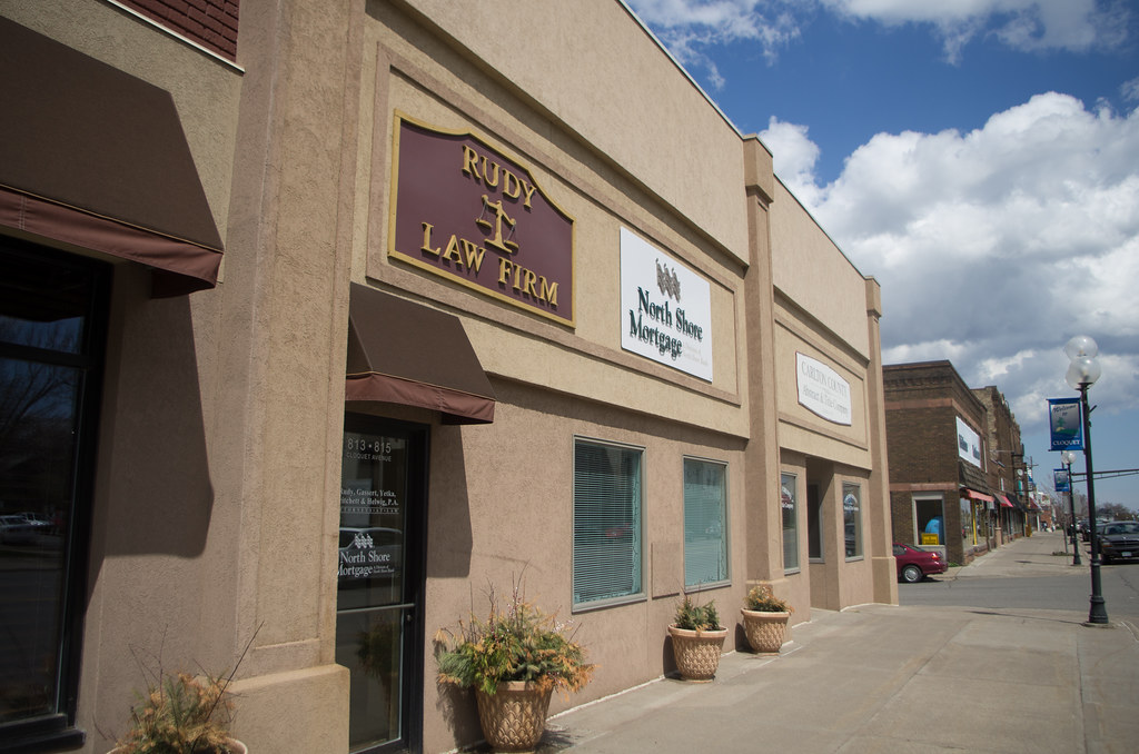
Cloquet is a city located in Carlton County, Minnesota, at the junction of Interstate 35 and Minnesota State Highway 33. Part of the city lies within the Fond du Lac Indian Reservation and serves as one of the reservation’s three administrative centers. With a population of 12,568 at the 2020 census, Cloquet is a small but thriving community in northern Minnesota.
The city has a rich cultural heritage, with a strong Native American presence and a history of logging and paper manufacturing. Cloquet is home to a number of parks and recreational areas, including Pinehurst Park, Veterans Park, and the Pine Valley Recreation Area.
The city also hosts a variety of community events throughout the year, including the annual Carlton County Fair and the Cloquet Labor Day Festival. With its stunning natural beauty and strong community spirit, Cloquet is a wonderful spot to visit and call home.
Coon Rapids
Coon Rapids is a vibrant northern suburb of Minneapolis and the largest city in Anoka County, Minnesota. With a population of 63,599 at the 2020 census, it is the fifteenth largest city in Minnesota and the seventh largest Twin Cities suburb.
Coon Rapids is known for its strong community spirit, with a variety of community events and activities throughout the year, including the annual Coon Rapids Snowflake Days festival. The city is also home to a number of parks and recreational areas, including Bunker Hills Regional Park, which features a golf course, campground, and water park.
Coon Rapids is a great place to live and work, with a thriving business community and a variety of employment opportunities. With its convenient location and strong community spirit, Coon Rapids is a marvelous place to call home.
Duluth
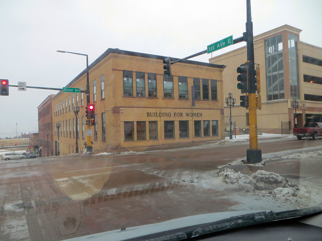
Duluth is a bustling port city located in the Arrowhead Region of Minnesota and serves as the county seat of St. Louis County. The city is situated on Lake Superior and is a hub for cargo shipping. The Port of Duluth is responsible for shipping a variety of commodities, including coal, iron ore, grain, limestone, cement, salt, wood pulp, steel coil, and wind turbine components.
Duluth, which is south of the Iron Range and the Boundary Waters Canoe Area Wilderness, is named after Daniel Greysolon, Sieur du Lhut, the area’s first known European explorer. The city has a population of 86,697 as of the 2020 census, making it Minnesota’s fifth-largest city. Duluth forms a metropolitan area with neighboring Superior, Wisconsin, and the two cities are commonly referred to as the Twin Ports.
Duluth is the largest metropolitan area, the second-largest city, and the largest U.S. city on Lake Superior. The Port of Duluth is the world’s farthest inland port accessible to oceangoing ships and is among the top 20 U.S. ports by tonnage.
Duluth is also a popular tourist destination, with attractions such as the Great Lakes Aquarium, the Aerial Lift Bridge, and Minnesota Point, the world’s longest freshwater baymouth bar. The city is also the starting point for vehicle trips touring the North Shore of Lake Superior toward Thunder Bay, Ontario, Canada.
Eagan
Eagan is a city located in Dakota County, Minnesota, south of Saint Paul. The city lies on the south bank of the Minnesota River, upstream from the confluence with the Mississippi River. Eagan and nearby suburbs form the southern section of the Minneapolis–Saint Paul area. With a population of 68,855 at the 2020 census, Eagan is a thriving community with a strong business presence.
The city was home to the headquarters of Northwest Airlines, which is now part of Delta Air Lines. Eagan is home to a number of parks and recreational areas, including the Lebanon Hills Regional Park, which features over 2,000 acres of forests, lakes, and wetlands.
The city also hosts a variety of community events and festivals throughout the year, including the Eagan Art Festival and the Eagan Market Fest. With its convenient location, strong business community, and beautiful surroundings, Eagan is a rewarding place to call home.
Eden Prairie
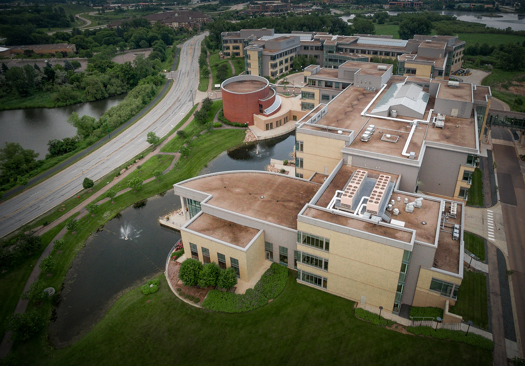
Eden Prairie is a thriving city located 12 miles southwest of downtown Minneapolis in Hennepin County. With a population of 64,198 as of the 2020 census, it is the 16th-largest city in Minnesota. The city is adjacent to the north bank of the Minnesota River, upstream from its confluence with the Mississippi River.
Eden Prairie is part of the southwest portion of Minneapolis–Saint Paul, the 16th-largest metropolitan area in the United States, with approximately 3.7 million residents. The community was designed as a mixed-income city model and is home to a variety of commercial firms, including the headquarters of SuperValu, C.H. Robinson Worldwide, Winnebago Industries, Starkey Hearing Technologies, Lifetouch Inc., SABIS, and MTS Systems Corporation.
Eden Prairie is also home to the Eden Prairie Center Mall and is the hub of SouthWest Transit, providing public transportation to three adjacent suburbs. The area features numerous municipal and regional parks, conservation areas, multi-purpose trails, and recreational facilities, including over 170 miles of multi-use trails, 2,250 acres of parks, and 1,300 acres of open space.
Eden Prairie has been featured as one of Money magazine’s “Best Places to Live” in America several times since 2006, earning first place in the 2010 survey and second place in 2016. With its robust business community, beautiful surroundings, and great location, Eden Prairie is an ideal place to live.
Elk River
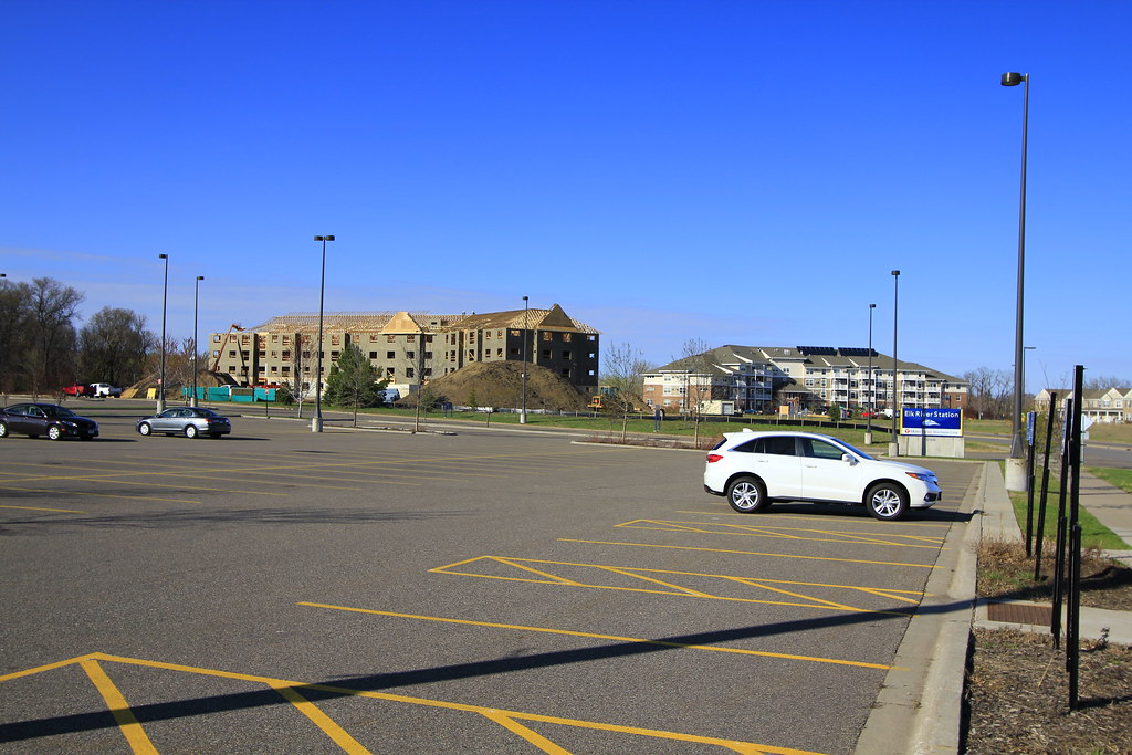
Elk River is a beautiful city located in Sherburne County, Minnesota, approximately 34 miles northwest of Minneapolis. The city is situated at the confluence of the Mississippi and Elk Rivers and is the county seat. With a population of 25,835 as of the 2020 census, Elk River is the second largest city in the Central Minnesota region after St. Cloud.
The city is easily accessible via several main routes, including U.S. Highways 10 and 169 and State Highway 101. Elk River is also home to a station on the Northstar Commuter Rail line, providing convenient access to downtown Minneapolis.
The city boasts a variety of parks and recreational areas, including the Elk River Golf Club, Orono Park, and Lions Park. Elk River is located 33.2 miles northwest of Minneapolis and 37.4 miles southeast of St. Cloud, making it a convenient location for both work and play. With its beautiful natural surroundings and brilliant location, Elk River is a satisfying location to call home.
Fairmont
Fairmont is a charming city located in Martin County, Minnesota, and serves as the county seat. With a population of 10,487 as of the 2020 census, it is a small but vibrant community in southern Minnesota. Fairmont is known for its beautiful natural surroundings, with a variety of parks and recreational areas, including the Fairmont Chain of Lakes and Cedar Creek Park.
The city also boasts a strong cultural heritage, with a variety of community events and festivals throughout the year, including the Martin County Fair and the Fairmont Glows Parade. Fairmont is home to a variety of businesses and industries, including manufacturing, healthcare, and hospitality.
Faribault
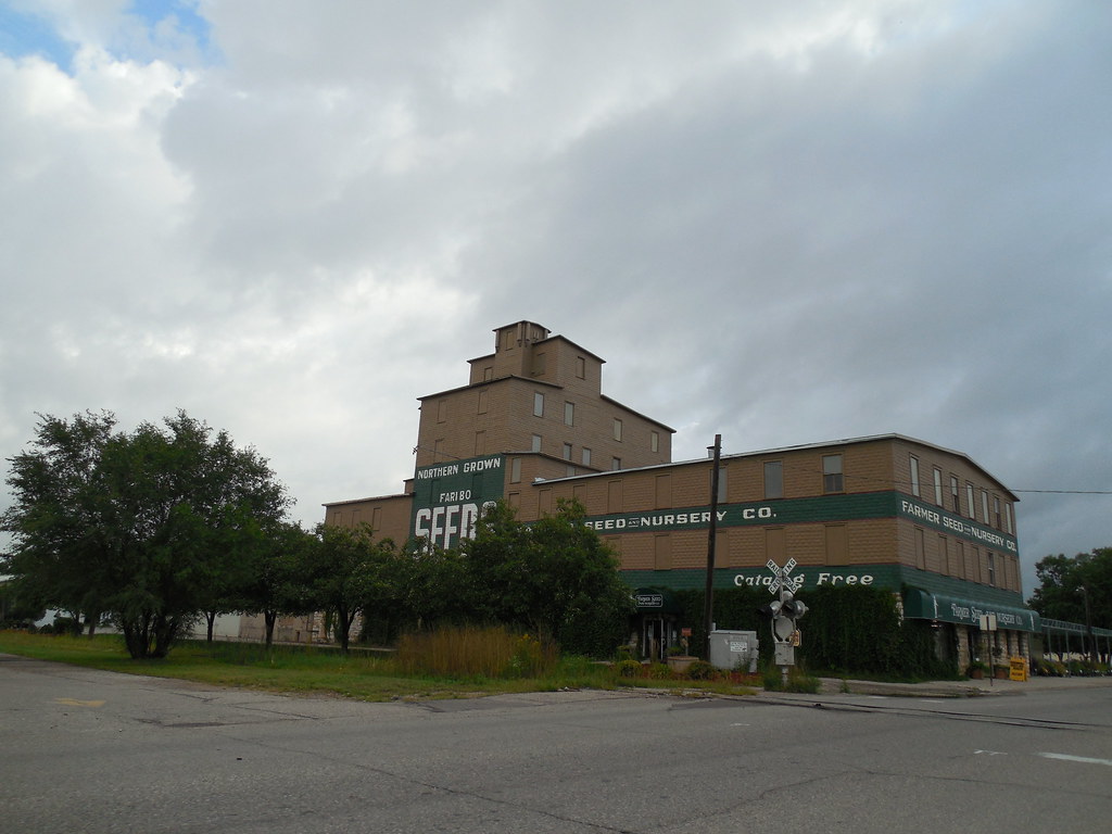
Faribault is a charming city located in Rice County, Minnesota, and serves as the county seat. With a population of 23,352 as of the 2010 census, it is a small but vibrant community located approximately 50 miles south of Minneapolis–Saint Paul.
Faribault is easily accessible via several main routes, including Interstate 35 and Minnesota State Highways 3, 21, and 60. The city is situated at the confluence of the Cannon and Straight Rivers in southern Minnesota and is known for its beautiful natural surroundings.
Faribault is home to a variety of historic sites and landmarks, including the Faribault Woolen Mill, which has been in operation since 1865. The city also boasts a strong arts and culture scene, with a variety of community events and festivals throughout the year, including the Faribault Heritage Days celebration.
Hastings

Hastings is a historic city located mostly in Dakota County, Minnesota, serving as the county seat, with a portion in Washington County, Minnesota. The city is named after the first elected governor of Minnesota, Henry Hastings Sibley. With a population of 22,154 as of the 2020 census, Hastings is a thriving community located near the confluence of the Mississippi, Vermillion, and St. Croix Rivers.
The city’s location has been a significant factor in its growth, as it provides a well-drained area, a good riverboat port, and access to hydropower resources at the falls of the Vermillion River. Hastings is easily accessible via several main routes, including U.S. Highway 61 and Minnesota State Highways 55 and 316.
The city is home to a variety of historic sites and landmarks, including the LeDuc Historic Estate, which is listed on the National Register of Historic Places. With its rich heritage, beautiful surroundings, and great location, Hastings is a wonderful area to settle.
Hibbing

Hibbing is a city located in Saint Louis County, Minnesota, with a population of 16,214 as of the 2020 census. The city was built on mining the rich iron ore of the Mesabi Iron Range and still relies on that industrial activity today. At the edge of town is the Hull–Rust–Mahoning Open Pit Iron Mine, which is the world’s largest open-pit iron mine.
The city is also known as the hometown of singer-songwriter Bob Dylan and former Governor of Minnesota Rudy Perpich. Hibbing is easily accessible via several main routes, including U.S. Highway 169, State Highway 37, State Highway 73, Howard Street, and 1st Avenue. The city is located about 59 miles northwest of Duluth, Minnesota. With its rich history and strong industrial presence, Hibbing is a unique and dynamic city in Minnesota.
Hutchinson
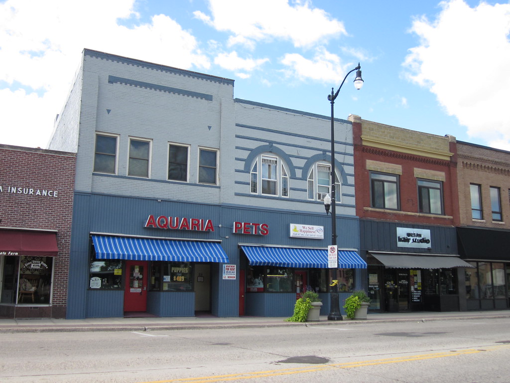
Hutchinson is a vibrant city located in McLeod County, Minnesota, and is the largest city in the county. The city lies along the South Fork of the Crow River and has a population of 14,599 as of the 2020 census. Hutchinson is known for its beautiful natural surroundings, with a variety of parks and recreational areas, including the Crow River and Masonic/West River Park.
The city also boasts a strong business community, with a variety of industries and businesses, including manufacturing, healthcare, and agriculture. Hutchinson is home to a variety of community events and festivals throughout the year, including the Hutchinson Arts and Crafts Festival and the McLeod County Fair. With its strong business community and vibrant cultural scene, Hutchinson is a fulfilling destination to live or visit.
Lakeville
Lakeville is a thriving exurb of Minneapolis-Saint Paul and the largest city in Dakota County, Minnesota. The city is located approximately 20 miles south of both downtown Minneapolis and downtown St. Paul, along Interstate Highway 35. Lakeville has a rich history, starting as a flourishing milling center, and its agriculture industry and other major industries are still in operation today.
The city is one of the fastest-growing in the Twin Cities area, with a population of 69,490 as of the 2020 census, making it Minnesota’s tenth most populous city. Lakeville is known for its major industries, including the Airlake Industrial Park, which is served by Airlake Airport, a regional reliever airport.
While many of Lakeville’s workers commute northward to Minneapolis, Saint Paul, and more central suburbs like Bloomington, the city has a strong business community and a variety of community events and festivals throughout the year. With its convenient location, strong economy, and vibrant community, Lakeville is a great place to call home.
Mankato
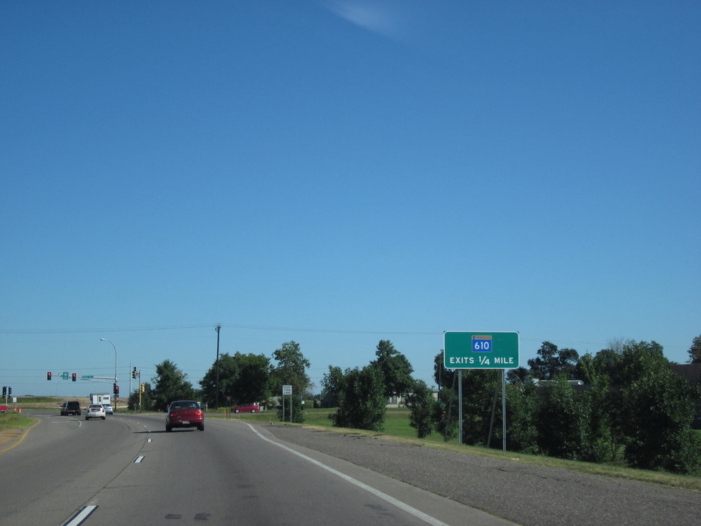
Mankato is a bustling city located in Blue Earth, Nicollet, and Le Sueur counties in Minnesota. With a population of 44,488 according to the 2020 census, it is the 21st-largest city in Minnesota and the 5th-largest outside of the Minneapolis–Saint Paul metropolitan area.
The city is situated along a large bend of the Minnesota River at its confluence with the Blue Earth River and is across the Minnesota River from North Mankato. Mankato and North Mankato have a combined population of 58,763 according to the 2020 census.
The city is also the larger of the two principal cities of the Mankato-North Mankato metropolitan area, which covers Blue Earth and Nicollet Counties and had a combined population of 103,566 at the 2020 census. The U.S. Census Bureau designated Mankato a Metropolitan Statistical Area in November 2008.
Mankato is known for its beautiful natural surroundings, with a variety of parks and recreational areas, including Minneopa State Park and Sibley Park. With its strong economy, vibrant community, and natural beauty, Mankato is a marvelous spot to reside.
Marshall

Marshall is a bustling city located in Lyon County, Minnesota, with a population of 13,680 as of the 2010 census. The city is a regional center in southwest Minnesota and serves as the county seat of Lyon County. Marshall is known for its strong business community, with the headquarters of the Schwan Food Company located in the city, and for being the home of Southwest Minnesota State University.
The city is also known for its beautiful natural surroundings, with a variety of parks and recreational areas, including Independence Park and Liberty Park. Marshall is easily accessible via several main routes, including U.S. Highway 59 and Minnesota State Highways 19 and 23. With its strong economy, excellent educational opportunities, and beautiful natural surroundings, Marshall is a welcoming and enriching destination.
Minneapolis
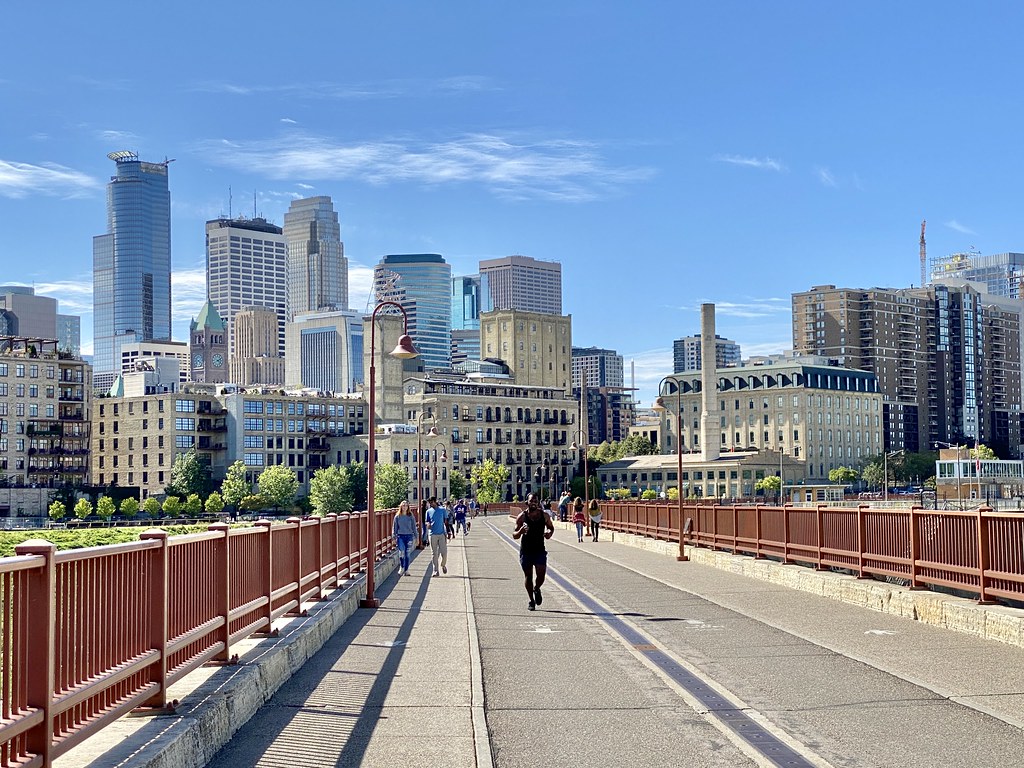
Minneapolis is a thriving city located in the state of Minnesota and the county seat of Hennepin County. With a population of 429,954 as of the 2020 census, it is the largest city in Minnesota and the 46th-most-populous in the United States. The city is known as the “City of Lakes,” with thirteen lakes, wetlands, the Mississippi River, creeks, and waterfalls.
Minneapolis has a rich history, with its origins as the 19th-century lumber and flour milling capitals of the world, and it has preserved its financial clout to the present day. The city has one of the most extensive public park systems in the U.S., with many parks connected by the Grand Rounds National Scenic Byway.
Minneapolis is home to the University of Minnesota’s main campus and is served by Metro Transit for public transportation. The city’s cultural offerings include the Minneapolis Institute of Art, the First Avenue nightclub, and four professional sports teams.
Despite its reputation for a high quality of life, Minneapolis faces significant disparities among its population. The city has a mayor-council government system, with the Minnesota Democratic-Farmer-Labor Party holding a majority of the council seats and Jacob Frey serving as mayor since 2018.
Minnetonka

Minnetonka is a thriving city located in Hennepin County, Minnesota, and is a western suburb of the Twin Cities. The city is situated about 10 miles west of downtown Minneapolis and has a population of 53,781 as of the 2020 census.
Minnetonka is known for its strong business community, with the home of Cargill, the country’s largest privately owned company, and UnitedHealth Group, the state’s largest publicly owned company located in the city.
The city is easily accessible via several main routes, including Interstate 494, which runs through the city, while Interstate 394 (U.S. Route 12) and U.S. Route 169 are situated along the suburb’s northern and eastern boundaries respectively.
Minnetonka is also known for its beautiful natural surroundings, with a variety of parks and recreational areas, including the Minnetonka Regional Trail and the Lake Minnetonka Regional Park. With its robust economy, excellent educational opportunities, and beautiful natural surroundings, Minnetonka is a wonderful place to call home.
New Ulm
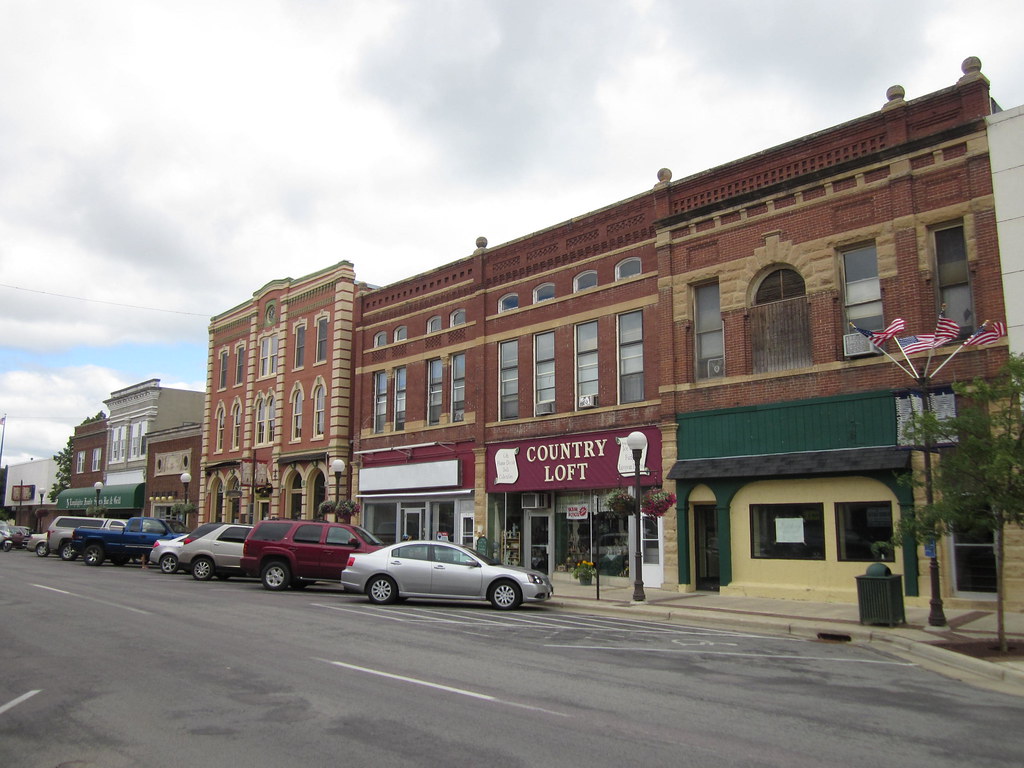
New Ulm is a charming city located in Brown County, Minnesota, and is the county seat. With a population of 14,120 as of the 2020 census, the city is situated on the triangle of land formed by the confluence of the Minnesota River and the Cottonwood River.
New Ulm is known for its rich history and German heritage, with many historical sites and landmarks dating back to the US-Dakota War of 1862. The city is home to several popular attractions, including the Hermann Heights Monument, Flandrau State Park, the historic August Schell Brewing Company, and the Minnesota Music Hall of Fame.
Additionally, New Ulm is the episcopal see of the Roman Catholic Diocese of New Ulm. The Dakota people referred to New Ulm as the “Village on the Cottonwood” or Wachupata. With its strong sense of community, rich heritage, and gorgeous surroundings, New Ulm is a fulfilling location for residents and tourists alike.
North Mankato
North Mankato is a charming city located in Nicollet and Blue Earth counties in the state of Minnesota. The city has a population of 14,275 as of the 2020 census, making it a smaller of the two principal cities of the Mankato-North Mankato Metropolitan Statistical Area.
Most of North Mankato is situated in Nicollet County, with a small part extending into Blue Earth County. The city is situated across the Minnesota River from Mankato, and the two cities have a combined population of 58,763. North Mankato was incorporated as a village in 1898 and has since grown into a thriving community.
The city is easily accessible via several main routes, including U.S. Highways 14 and 169 and Minnesota State Highway 60. With its strong sense of community, beautiful natural surroundings, and excellent educational opportunities, North Mankato is a wonderful place to call home.
Northfield
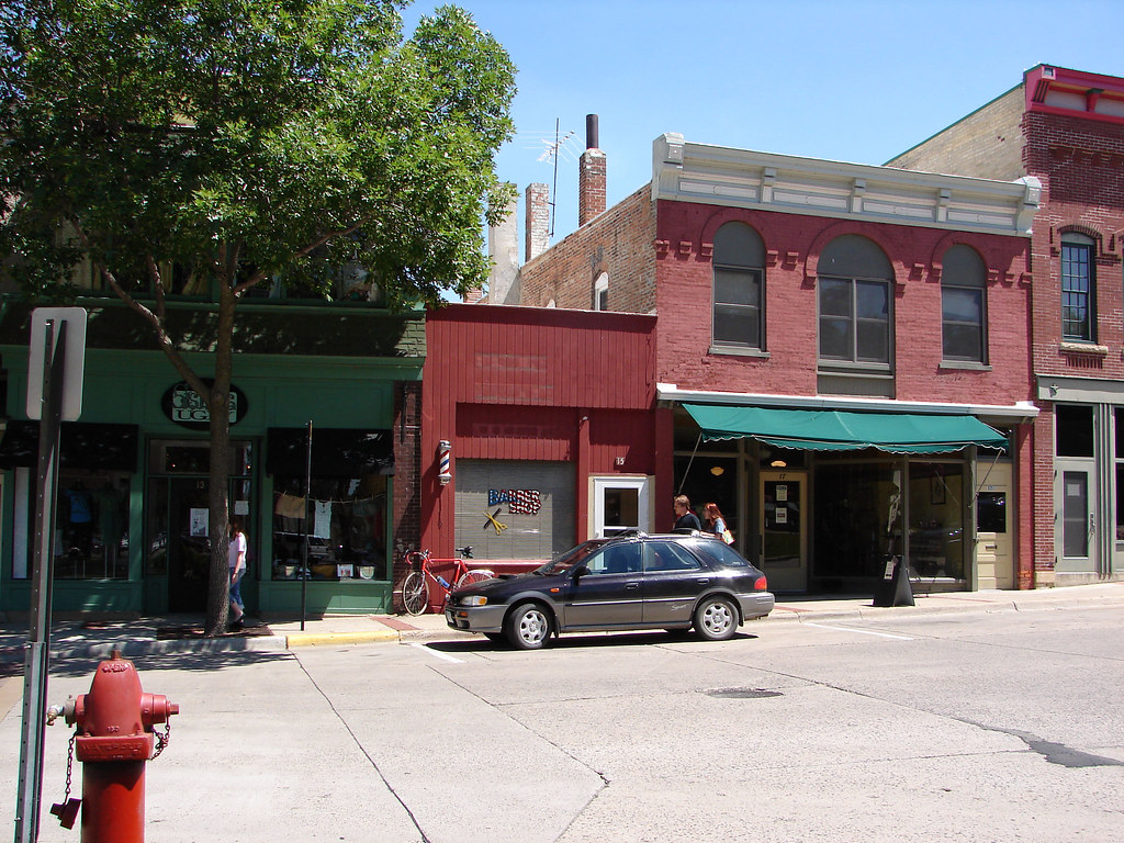
Northfield is a charming city located in Dakota and Rice counties in the state of Minnesota. Most of the city is situated in Rice County, with a small portion extending into Dakota County. With a population of 20,790 as of the 2020 census, Northfield is located 40 miles south of downtown St. Paul and is considered an exurb of the Minneapolis-St. Paul metropolitan area.
The city is known for its rich history, scenic beauty, and excellent educational opportunities, with both Carleton College and St. Olaf College located in the city. Northfield is also known for its vibrant downtown area, with a variety of shops, restaurants, and cultural attractions.
The city is easily accessible via several main routes, including Interstate 35 and Minnesota State Highway 3. With its strong sense of community, beautiful natural surroundings, and excellent amenities, Northfield is an amazing place to call home.
Owatonna
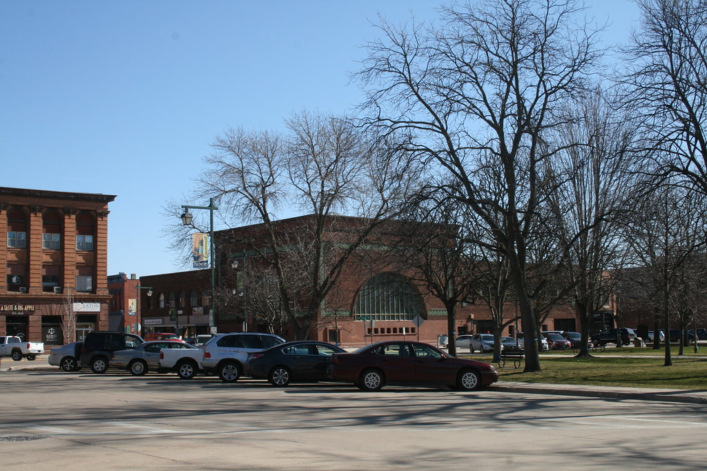
Owatonna is a charming city located in Steele County, Minnesota, with a population of 26,420 as of the 2020 census. The city is the county seat of Steele County and is known for its strong sense of community and beautiful natural surroundings. Owatonna is home to the Steele County Fairgrounds, which hosts the Steele County Free Fair in August, a popular event that draws visitors from across the state.
The city is easily accessible via several main routes, including Interstate 35 and U.S. Route 14. Owatonna is also known for its excellent educational opportunities, with several public and private schools located in the city. With its robust economy, beautiful surroundings, and excellent amenities, Owatonna is a great spot to live
Plymouth
Plymouth is a thriving city located in Hennepin County, Minnesota, and is a suburb in the Minneapolis-Saint Paul metropolitan area. The city is situated about 10 miles west of downtown Minneapolis and has a population of 81,026 as of the 2020 census, making it the 7th-largest city in Minnesota.
Plymouth is known for its strong sense of community, beautiful natural surroundings, and excellent educational opportunities, with several public and private schools located in the city. The city is easily accessible via several main routes, including Interstate 494 and U.S. Route 169.
Plymouth is also home to several parks and recreational areas, including the popular Medicine Lake Regional Trail and the Plymouth Creek Park Reserve. With its strong economy, beautiful natural surroundings, and excellent amenities, Plymouth is a satisfying location to live, work, and play.
Rochester
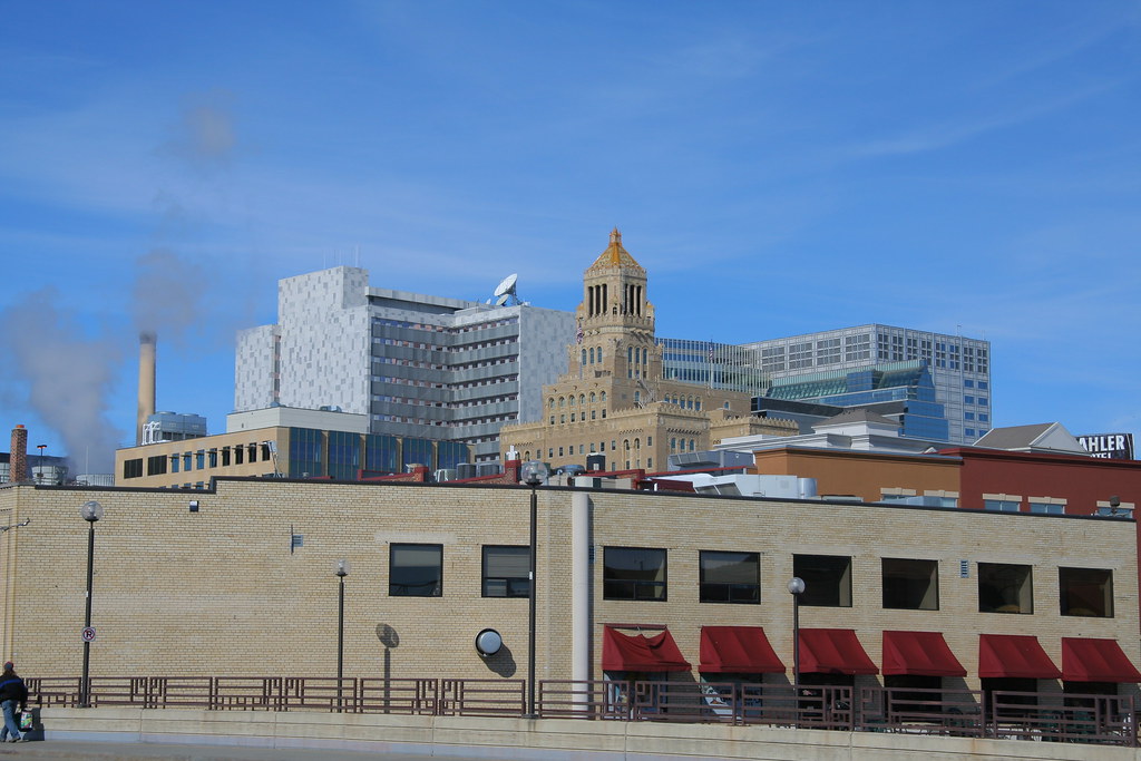
Rochester is a vibrant city located in the southeastern part of Minnesota and is the county seat of Olmsted County. The city is situated on rolling bluffs on the south fork of the Zumbro River and is known for being the home and birthplace of the renowned Mayo Clinic. With a population of 121,395 as of the 2020 census, Rochester is the third-largest city in Minnesota.
The city is a hub for healthcare and technology, with the Mayo Clinic being one of the largest employers in the area. Rochester is also known for its strong sense of community, excellent educational opportunities, and beautiful natural surroundings.
The city is easily accessible via several main routes, including U.S. Route 52 and Interstate 90. The Rochester metropolitan area, which includes the nearby rural agricultural areas, had a population of 226,329 in 2020. With its robust economy, supportive amenities, and pleasing natural surroundings, Rochester is a great spot to call home.
Saint Cloud
Saint Cloud, or St. Cloud, is a bustling city located in the central region of Minnesota and is the largest population center in the area. The city has a population of 68,881 as of the 2020 census, making it the 12th-largest city in the state. St. Cloud is the county seat of Stearns County and was named after the city of Saint-Cloud, France, which was named after the 6th-century French monk Clodoald.
The city is situated on the Mississippi River and extends into Benton and Sherburne counties. St. Cloud is the center of a contiguous urban area, with several neighboring cities directly bordering the city. The St. Cloud metropolitan area had a population of 199,671 at the 2020 census, making it the fifth-largest metro area in Minnesota.
The city is easily accessible via several main routes, including Interstate 94, U.S. Highway 52, U.S. Highway 10, Minnesota State Highway 15, and Minnesota State Highway 23. St. Cloud is home to several excellent educational institutions, including St. Cloud State University, which is located between the downtown area and the Beaver Islands.
The city also owns and operates a hydroelectric dam on the Mississippi, which is the state’s largest city-owned hydro facility. With its strong economy, excellent amenities, and beautiful natural surroundings, St. Cloud is a great place to call home.
Saint Paul
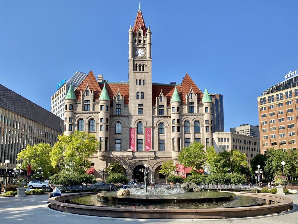
Saint Paul, often abbreviated as St. Paul, is the capital of Minnesota and the county seat of Ramsey County. The city is situated on high bluffs overlooking a bend in the Mississippi River and is a regional business hub and the center of Minnesota’s government. The Minnesota State Capitol and the state government offices all sit on a hill close to the city’s downtown district.
Saint Paul is one of the oldest cities in Minnesota and has several historic neighborhoods and landmarks, such as the Summit Avenue Neighborhood, the James J. Hill House, and the Cathedral of Saint Paul. The city has a population of 307,193 as of 2021, making it the second-most populous city in Minnesota and the 67th-most populous city in the United States.
Saint Paul is part of the Minneapolis-Saint Paul metropolitan area, which is the third most populous metropolitan area in the Midwest. The city has a mayor-council government, with Melvin Carter III serving as the current mayor. With its rich history, thriving economy, and great amenities, Saint Paul is waiting for you with open arms.
Winona
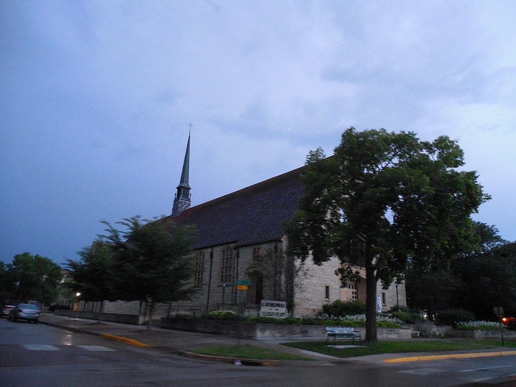
Winona is a picturesque city located in Winona County, Minnesota, and is the county seat of the area. The city is situated in bluff country on the banks of the Mississippi River and is known for its beautiful natural surroundings. Its most noticeable physical landmark is Sugar Loaf, which adds to the city’s scenic beauty.
With a population of 25,948 as of the 2020 census, Winona is a vibrant city with a strong sense of community. The city is easily accessible via several main routes, including U.S. Route 61 and Minnesota State Highway 43. Winona is also known for its excellent educational opportunities, with several public and private schools located in the city.
Highways
Route 2
U.S. Highway 2 (US 2) is an important highway in northwest and northeast Minnesota, running from the Red River at East Grand Forks and continuing east to Duluth. The route connects several major cities in the state, including East Grand Forks, Bemidji, Grand Rapids, and Duluth.
The Richard I. Bong Memorial Bridge carries the route over Saint Louis Bay in Duluth. Of the 264 miles (425 km) of US 2 in Minnesota, 146 miles (235 km) have four lanes, mostly located in the northwest part of the state. US 2 is an important transportation corridor in Minnesota, providing access to several major cities and connecting the state with neighboring North Dakota and Wisconsin.
Route 10
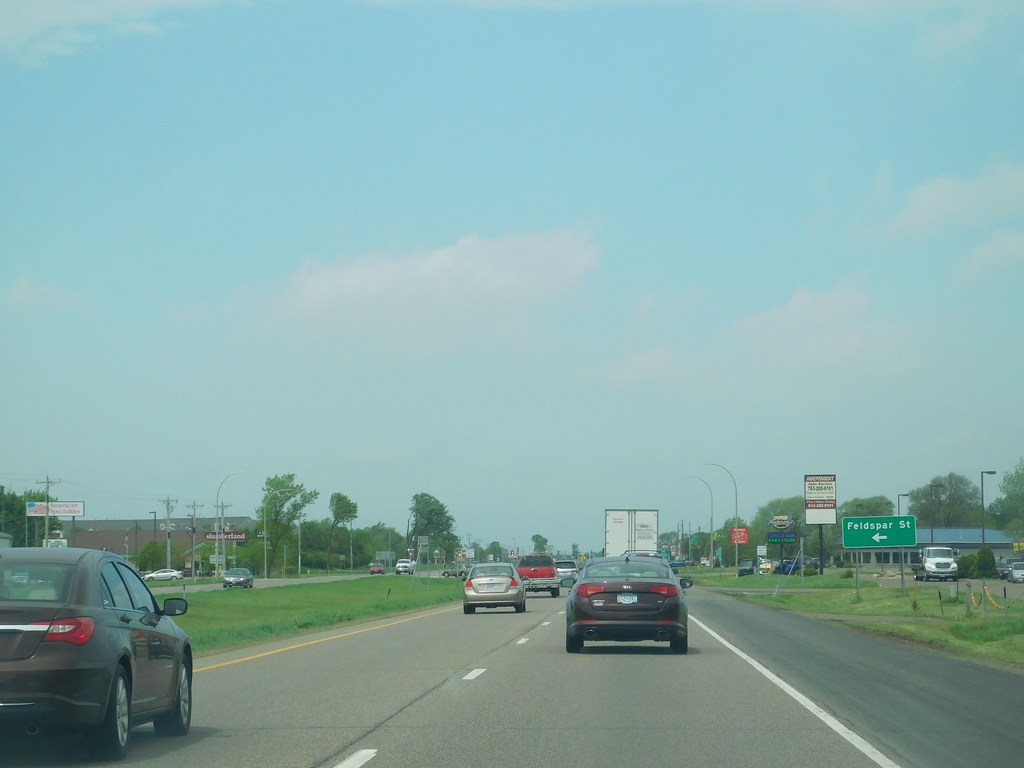
U.S. Highway 10 (US 10) is a significant divided highway that runs through the central portion of Minnesota. The route follows the alignment of the former Northern Pacific Railway, now BNSF Railway, and connects several major cities in the state. The 275-mile (443 km) route connects Moorhead, Detroit Lakes, Wadena, Little Falls, St. Cloud, Anoka, Saint Paul, and Cottage Grove.
US 10 is a major transportation corridor in Minnesota, providing access to several important cities and connecting the state with neighboring North Dakota and Wisconsin. The route is an important part of the state’s transportation infrastructure and is used by thousands of motorists every day.
Route 12
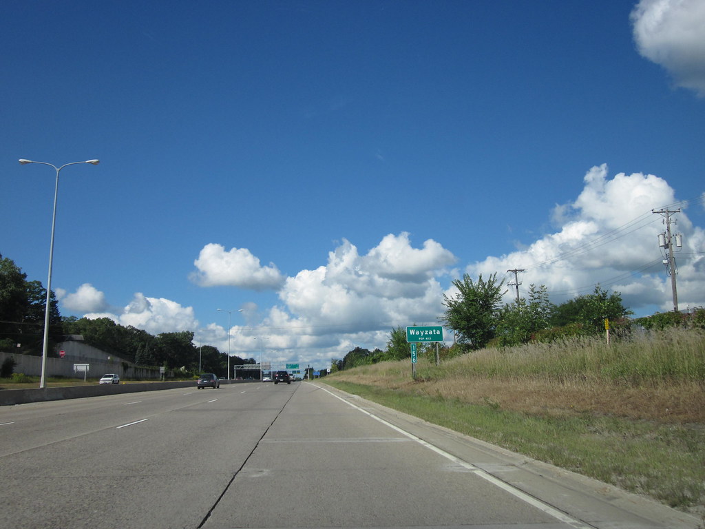
U.S. Highway 12 (US 12) is an important highway in west- and east-central Minnesota, connecting the South Dakota state line at Ortonville near Big Stone Lake to the St. Croix River at the Wisconsin state line. The route is 192.798 miles (310.278 km) long and connects several major cities in the state, including Ortonville, Benson, Willmar, Litchfield, Minneapolis, and Saint Paul.
US 12 is an important transportation corridor in Minnesota, providing access to several major cities and connecting the state with neighboring South Dakota and Wisconsin. The route is used by thousands of motorists every day and is a key part of the state’s transportation infrastructure.
Route 14
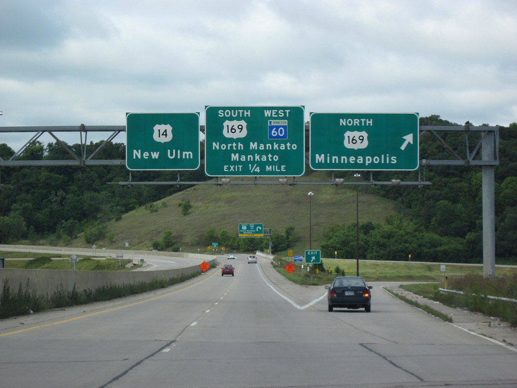
U.S. Highway 14 (US 14) is an important highway in Minnesota, entering the state from South Dakota west of Lake Benton and traveling east through several small towns before reaching New Ulm. From New Ulm to Mankato, the highway lies north of the Minnesota River. After Mankato, US 14 becomes a freeway bypass and continues east into Rochester, where it has a concurrency with US 52.
The highway then parallels I-90 until Winona, where it gets picked up by US 61. US 14 was extended to a full, limited-access freeway from North Mankato to Owatonna in 2012, creating a continuous four-lane route.
The segment from Nicollet to New Ulm is currently being upgraded to a four-lane expressway, while the segment between Byron and Rochester is planned to be upgraded to a freeway with three new interchanges. The Minnesota section of US 14 is defined as part of Constitutional Route 7 and Trunk Highways 121 and 122 in the Minnesota Statutes.
Route 52
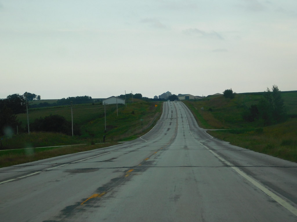
U.S. Highway 52 (US 52) enters Minnesota at the unincorporated community of Prosper, north of the town of Burr Oak, Iowa. The route is marked north-south in Minnesota and runs along its own independent segment from the Iowa state line to downtown St. Paul. US 52 is an important transportation corridor in Minnesota, connecting several major cities in the state, including Rochester, St. Paul, and Moorhead.
However, the route is not signed along its concurrency with Interstate 94 (I-94) from downtown St. Paul to the North Dakota state line at Moorhead and Fargo. US 52 is used by thousands of motorists every day and plays a vital role in the state’s transportation infrastructure.
Route 53
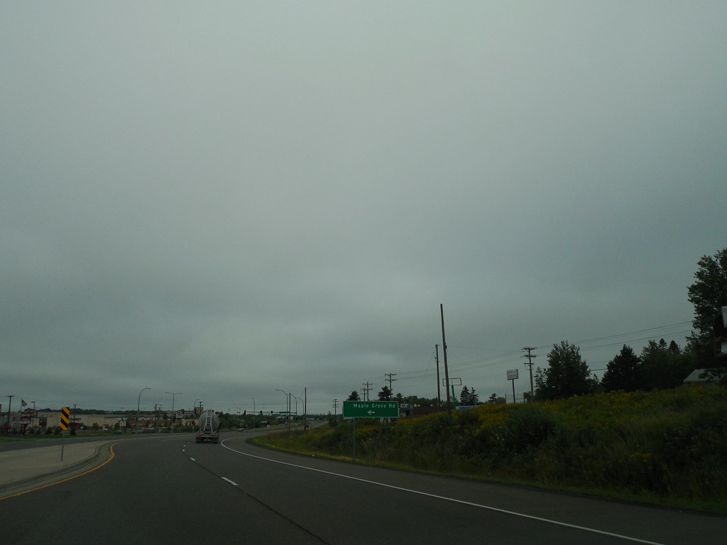
U.S. Highway 53 (US 53) enters Minnesota at the city of Duluth on the John Blatnik Bridge over Saint Louis Bay. The route runs concurrently with I-535 for 2.8 miles (4.5 km) before continuing through Duluth on Piedmont Avenue and Trinity Road. From there, US 53 runs concurrently with State Highway 194 (MN 194) for six miles (9.7 km), from Trinity Road in Duluth to Lindahl Road in Hermantown.
The route then proceeds north to the city of Virginia, passing through Saint Louis and Koochiching counties. The portion of the route from Duluth to Virginia is a four-lane expressway, with an interchange with US 169 in Virginia and an interchange with MN 169 in Wuori Township.
US 53 then proceeds northwest to International Falls, where it has a junction with US 71 and MN 11. The Minnesota section of US 53 is defined as unmarked legislative routes 106, 11, and 315 in Minnesota Statutes, but the route is not marked with these legislative numbers along the actual highway.
Route 59
U.S. Highway 59 (US 59) enters Minnesota just east of Bigelow, south of Worthington, and passes through rural western Minnesota for its entire length in the state. Along the way, the route passes through several cities, including Slayton, Marshall, Clarkfield, Montevideo, Morris, Pelican Rapids, Detroit Lakes, and Thief River Falls.
US 59 overlaps with Interstate 94/U.S. Highway 52 in the Fergus Falls area. The route is about 425 miles (684 km) long in Minnesota and ends at the Lancaster-Tolstoi border crossing on the Canada-US border.
The Minnesota section of US 59 is legally defined as all or part of Routes 265, 16, 17, 88, 66, 144, 3, 30, and 174 in Minnesota Statutes, but the route is not marked with these legislative numbers along the actual highway. US 59 is an important transportation corridor in Minnesota, providing access to several major cities and connecting the state with neighboring North Dakota and Canada.
Route 61

U.S. Highway 61 (US 61) is an important highway in southeast and east-central Minnesota, running from the Mississippi River Bridge at La Crescent and continuing north to its northern terminus at its junction with Interstate 35 (I-35) at the city of Wyoming.
The route is 165 miles (266 km) long in Minnesota and connects several major cities in the state, including La Crescent, Winona, Wabasha, Lake City, Red Wing, Hastings, Cottage Grove, Saint Paul, Forest Lake, and Wyoming.
US 61 is an important transportation corridor in Minnesota, providing access to several major cities and connecting the state with neighboring Wisconsin. The route is used by thousands of motorists every day and is an important part of the state’s transportation infrastructure.
Route 63
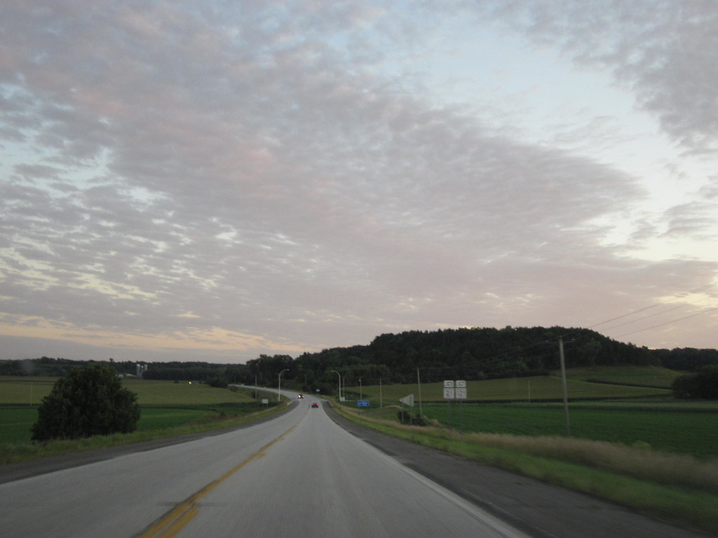
U.S. Route 63 (US 63) is an important highway in southeastern Minnesota, running from the Minnesota-Iowa border south of Spring Valley to the Mississippi River at Red Wing. The route connects several cities in the region, including Spring Valley, Stewartville, Rochester, and Lake City.
The route in Minnesota is 96 miles (154 km) long and is an important transportation corridor in the state, providing access to several major cities and connecting the state with neighboring Iowa. US 63 is used by thousands of motorists every day and is an important part of the state’s transportation infrastructure.
Route 71
U.S. Route 71 (US 71) is a rural highway in Minnesota, much like its counterpart in Iowa. The route crosses Interstate 90 at Jackson, passes through Windom, and intersects U.S. Route 14 at Sanborn. It then passes through Redwood Falls and Willmar before reaching its junction with Interstate 94/U.S. Highway 52 at Sauk Centre.
US 71 is built to freeway standards around Willmar. The route then passes through Long Prairie, Wadena, and Park Rapids before reaching Itasca State Park, the source of the Mississippi River. US 71 continues north, crossing the Mississippi and becoming a major route for northern Minnesota as it goes around Bemidji and angles northeast to its terminus at the Canada-US border in International Falls.
On the Ontario side, Highway 71 links the bridge to Ontario Highway 71 in Fort Frances, which continues north and terminates at Ontario Highway 17 just east of Kenora. The Minnesota section of US 71 is defined as Routes 4 and 141 in Minnesota Statutes, but the route is not marked with these legislative numbers along the actual highway.
Route 75
U.S. Route 75 (US 75) stays close to Minnesota’s western border, passing through a few large towns. The route enters Minnesota south of Luverne near Ash Creek and Steen and passes through Pipestone, Canby, and Breckenridge.
US 75 is the main north-south route through Moorhead and turns northeast to pass through Crookston before turning northwest towards the Red River of the North. However, US 75 does not cross the Red River and ends at the Canadian border at the unincorporated community of Noyes.
Border traffic is instead directed to the nearby crossing in Pembina, North Dakota, via MN 171, ND 59, and I-29. All 408 miles (657 km) of US 75 in Minnesota are officially designated the Historic King of Trails, sponsored by the towns along the route. The Minnesota section of US 75 is defined as Routes 6 and 175 in Minnesota Statutes, but the route is not marked with these legislative numbers along the actual highway.
Route 169

U.S. Highway 169 (US 169) is an important north-south highway in Minnesota, connecting the Minnesota River valley with the Twin Cities and the Iron Range. The route is built to expressway or freeway standards for much of its length and is a major transportation corridor in the state.
US 169 passes through several cities, including Mankato, Saint Peter, Belle Plaine, Shakopee, and Champlin, before ending at its junction with Interstate 694 in Brooklyn Center. The route is used by thousands of motorists every day and is an important part of the state’s transportation infrastructure.
Route 212
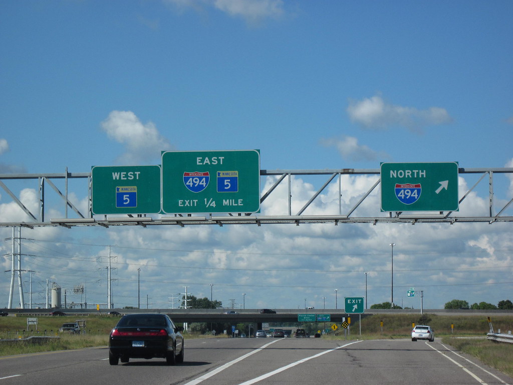
U.S. Highway 212 (US 212) is a major highway in Minnesota, running from the South Dakota state line in the west, crossing the southwestern part of the state, to the Minneapolis-Saint Paul metropolitan area in the east, and ending at its interchange with US 169 and State Highway 62 (MN 62) in the Minneapolis suburb of Edina.
The route is 161.8 miles (260.4 km) long in Minnesota and is an urban freeway within the Minneapolis-Saint Paul area, but mostly a two-lane rural road elsewhere in the state. Prior to the establishment of the United States Numbered Highway System, most of the US 212 corridor in Minnesota was part of the transcontinental auto trail known as the Yellowstone Trail.
US 212 was established in 1926 and originally terminated at US 12 in the city of Willmar from 1926 to 1934. The route was shifted to its current alignment around 1934, continuing slightly east of its current terminus to end at then US 12 in Saint Paul until 1982 when US 212 was truncated to Edina. US 212 in Minnesota previously continued easterly through St. Paul, through Lake Elmo, and terminated in Stillwater near the Wisconsin state line.
Route 218

U.S. Highway 218 (US 218) enters Minnesota at Lyle in Mower County and follows along the east side of the Iowa, Chicago, and Eastern Railroad line as it continues northward through farm fields. Southeast of Austin, US 218 angles northeastward to bypass the city, with its former route following County Road 45 into town.
The highway runs concurrently with Interstate 90 for nearly three miles through northern Austin before turning back north and becoming a four-lane divided highway for a short distance. US 218 passes through Steele County, Blooming Prairie, and an eight-block-long concurrency with State Highway 30 before continuing north-northwesterly through predominantly agricultural scenery.
It passes by Oak Glen Lake and through the unincorporated communities of Bixby and Pratt before meeting US 14 at a folded diamond interchange. US 218 runs concurrently with US 14 westward, while its historic route through downtown Owatonna continues ahead as County Road 48.
After an interchange with County Road 45 (former US 65), US 14/US 218 passes by Kaplan’s Woods Park and reaches Interstate 35, where US 218 ends. The Minnesota section of US 218 is defined as Route 40 in Minnesota Statutes.
Interstates
Interstate 35
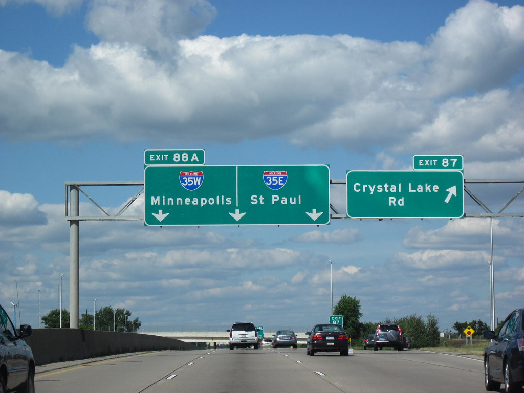
Interstate 35 (I-35) is a major north-south Interstate Highway that runs from Laredo, Texas, to Duluth, Minnesota. In Minnesota, I-35 enters from Iowa and heads north towards the twin cities of Minneapolis and Saint Paul. South of the metropolitan area, I-35 splits into two branches; I-35E runs through Saint Paul, and I-35W runs through Minneapolis.
These two branches rejoin north of the Twin Cities, and the highway continues north to Duluth, where it terminates at State Highway 61 (MN 61). I-35 was authorized in 1956, and the first segment opened in 1958. It reached Duluth in 1971, and the final segment to east Duluth opened in 1992. The highway is a vital transportation link in the state, connecting major cities and providing access to important economic and cultural centers.
Interstate 90
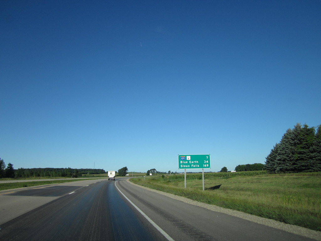
Interstate 90 (I-90) is a major east-west Interstate Highway that runs for 276 miles (444 km) across the southern side of Minnesota, parallel to the Iowa state line. The route connects several major cities in the state, including Worthington, Albert Lea, Austin, and Rochester.
Winona is also in close proximity to I-90, with about 10 miles (16 km) between the Interstate and the city. I-90 is an important transportation artery in the state, providing access to major economic and cultural centers, as well as connecting Minnesota to other states in the Midwest and beyond. The highway is a vital link for commerce, tourism, and travel in the region.
Interstate 94
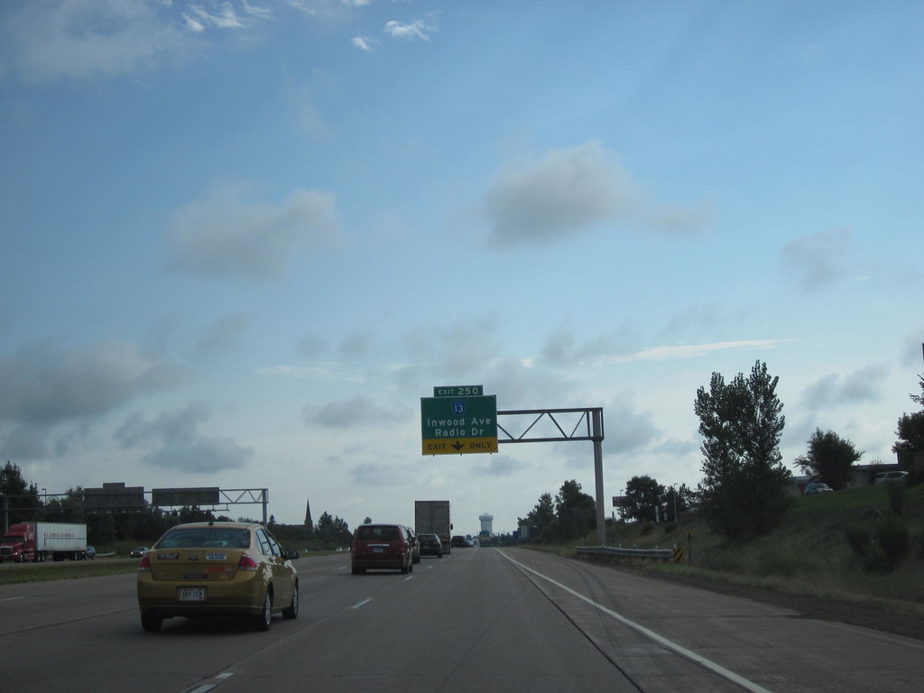
Interstate 94 (I-94) is a major east-west Interstate Highway that runs for 259 miles (417 km) through the central portion of Minnesota. The highway connects several major cities in the state, including Moorhead, Fergus Falls, Alexandria, St. Cloud, Minneapolis, and Saint Paul. I-94 was authorized in 1956 and was mostly constructed in the 1960s.
For its entire length, it runs concurrently with either US Highway 52 (US 52) or US 12. I-94 is a vital transportation link in the state, providing access to major economic and cultural centers, as well as connecting Minnesota to other states in the Midwest and beyond. The highway is a crucial artery for commerce, tourism, and travel in the region.

