Amid the echoes of lapping waves and the rustling of forested shores, Michigan’s story is written not just in its history books but also in the intricate patterns of its rivers and the vast expanses of its lakes. The Great Lakes State, celebrated for its freshwater treasures and iconic landscapes, reveals a narrative that ebbs and flows, much like the tides of its waterways.
These liquid arteries, reminiscent of whispers carried on the breeze, hold tales of exploration, industry, and the enduring kinship between Michiganders and their natural surroundings. In this article, we embark on a journey that navigates the currents of Michigan’s rivers and delves into the mirrored reflections of its lakes.
Join us as we unveil the significance of these aqueous chapters, uncovering how they’ve shaped the state’s identity, culture, and livelihoods, and revealing the profound impact that water has etched onto the very soul of the Great Lakes State.
Printable Michigan Lakes and Rivers Map

Rivers
Menominee River

The Menominee River is a 116-mile-long river that flows through northwestern Michigan and northeastern Wisconsin, draining a rural forested area of northern Wisconsin and the Upper Peninsula of Michigan into Lake Michigan. Its entire course, with that of its tributary, the Brule River, forms part of the boundary between the two states.
The river has been converted into a series of large reservoirs along its course, and the lands around those waters are managed for recreational use, which ensures conservation and restricts shoreline development of rows of cottages and docks. The Menominee River is named after the historic Menominee tribe who lived in the area and used wild rice as a staple, and the region through which the river flows was formerly a center of iron ore mining.
Manistee River
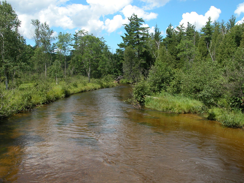
The Manistee River, also known as the Big Manistee River, is a 190-mile-long river that runs through the northwestern Lower Peninsula of Michigan, passing through the contemporary villages of Sharon, Smithville, and Mesick before entering Lake Michigan at Manistee.
It is considered one of the best trout fisheries east of the Rockies, along with the nearby Au Sable River. The Manistee River is also being considered for the restoration of Arctic grayling, which have been extirpated from the state of Michigan since 1936.
Muskegon River
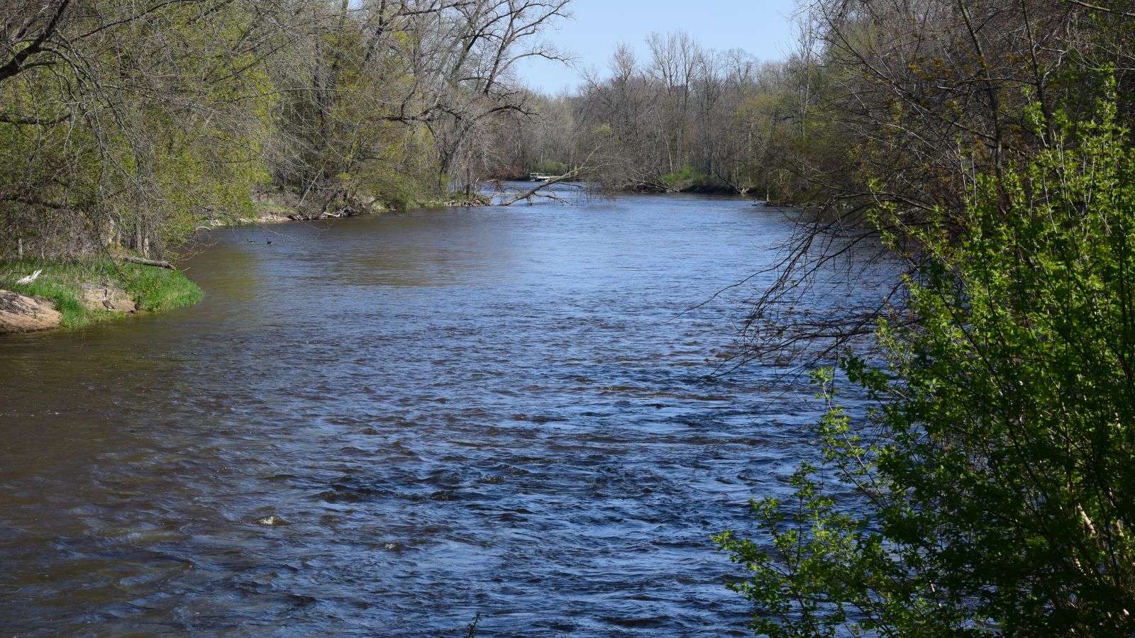
The Muskegon River is a 216-mile-long river in the western portion of the lower peninsula of Michigan, flowing out of the North Bay into neighboring Missaukee County and passing through several counties before emptying into Muskegon Lake and then Lake Michigan.
The river has several major branches, such as the Hersey River, Cedar Creek, and Little Muskegon River, and drains an area of 2,350 square miles. However, concerns were raised in September 2002 about a controversial deal made with Nestlé Waters North America, giving them permission to bottle up to 210 million gallons of water a year from an aquifer north of Grand Rapids, Michigan that recharges the Muskegon River.
Kalamazoo River

The Kalamazoo River is a 130-mile-long river in southwest Michigan that drains an area of approximately 2,020 square miles and passes through ten counties, including Allegan, Barry, Eaton, and Kalamazoo.
The river has a median flow of 1,863 cubic feet per second and originates from the junction of its North and South branches before flowing westward through Marshall, Battle Creek, Augusta, Galesburg, Comstock, and Kalamazoo, and then northwest through Otsego, Allegan, Saugatuck, and into Lake Michigan. Some of the larger tributaries of the Kalamazoo River include Wilder Creek, Battle Creek River, Portage Creek, and Rabbit River.
Grand River

The Grand River is the longest river in Michigan, running 252 miles from its headwaters in Hillsdale County on the southern border north to Lansing and west to its mouth on the Lake at Grand Haven. The river runs through several counties, including Jackson, Ingham, Eaton, Clinton, Ionia, Kent, and Ottawa, and through several cities such as Lansing, Grand Ledge, Ionia, Lowell, Grand Rapids, and Grand Haven.
Although the river was once famous for its mile-long, 300-yard-wide, and 10-to-15-foot-tall rapids, these rapids were submerged following the construction of numerous dams, starting in 1835, and flooding of areas behind the dams, and the river has not had any rapids for nearly a century.
Cass River
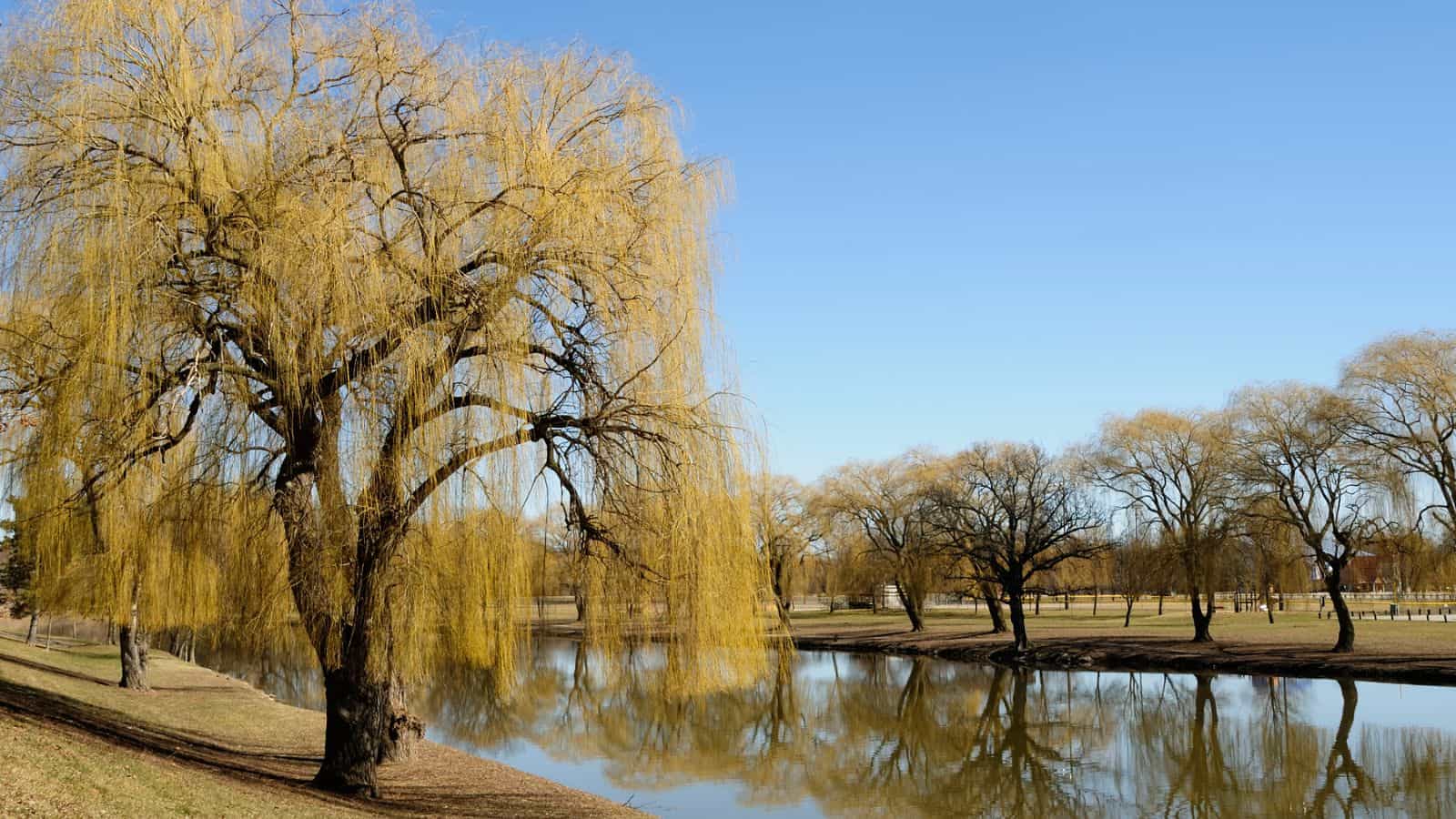
The Cass River is a 61.5-mile-long river in the Thumb region of Michigan, flowing through Sanilac, Tuscola, Genesee, Huron, Lapeer, and Saginaw counties before flowing into the Shiawassee River in the Shiawassee National Wildlife Refuge, less than a mile from where the Shiawassee merges with the Tittabawassee River to form the Saginaw River.
The river flows through or near several cities, including Bridgeport, Frankenmuth, Tuscola, Vassar, Caro, and Cass City, and its main branch is formed by the confluence of the North and South branches just south of Cass City. The Middle Branch, which rises in Elmer Township in Sanilac County, joins the South Branch in Evergreen Township in Sanilac County, while the South Branch rises in Flynn Township, Sanilac County near the boundary with Lapeer County.
Tittabawassee River

The Tittabawassee River is a major tributary of the Saginaw River, flowing in a generally southeasterly direction through the Lower Peninsula of Michigan. The river begins at Secord Lake in Clement Township, at the confluence of the East Branch and the Middle Branch, and flows through Gladwin, Midland, and Saginaw counties before flowing into the Saginaw River at Saginaw.
The river is 72.4 miles long and drains an area of 2,471 square miles, with significant communities on or near the river including Saginaw, Midland, and Sanford. The river’s tributaries include the Chippewa, Pine, Molasses, Sugar, and Tobacco rivers.
Raisin River
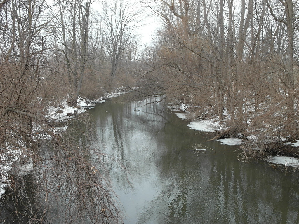
The River Raisin is a 139-mile-long river in southeastern Michigan that flows through glacial sediments into Lake Erie, draining an area of 1,072 square miles in several Michigan counties, including Lenawee, Washtenaw, Jackson, Hillsdale, and Monroe.
The river was named by French settlers as La Rivière aux Raisins due to the wild grapes growing along its banks, with the French word for grape being raisin. The river’s mouth is located at Lake Erie, and the area surrounding the river is now an agricultural and industrial center of Michigan.
Au Sable River

The Au Sable River is a 138-mile-long river in Michigan that runs through the northern Lower Peninsula, through the towns of Grayling and Mio, and enters Lake Huron at the town of Oscoda.
It is known for being one of the best brown trout fisheries east of the Rockies and has been designated a blue ribbon trout stream by the Michigan Department of Natural Resources. The river has a drainage basin of 1,932 square miles and an average flow of 1,100 ft3/s at its mouth, dropping 650 feet from its source at the junction of Kolka and Bradford Creeks.
Escanaba River

The Escanaba River is a 52.2-mile-long river on the Upper Peninsula of Michigan, known for its wide and rocky nature that cuts into limestone beds. The name of the river and the community of Escanaba were derived from an Ojibwa (Chippewa) Indian word meaning “flat rock”.
The river has a brown to orange color due to the presence of iron deposits in the surrounding area and supports brook, brown, and some rainbow trout throughout along with warm water species in the impoundments. The Escanaba River watershed is one of the largest watersheds in Michigan’s Upper Peninsula, totaling 924 square miles and flowing year-round through 508 miles of streams before emptying into Lake Michigan at Little Bay de Noc.
Ontonagon River
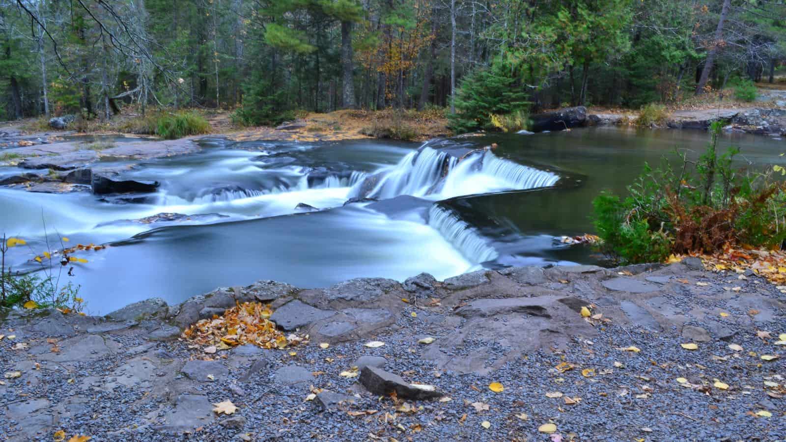
The Ontonagon River is a river that flows into Lake Superior at the village of Ontonagon, on the western Upper Peninsula of Michigan. The main stem of the river is 25 miles long and is formed by a confluence of several longer branches, some of which have been designated as a National Wild and Scenic River.
The river’s principal tributaries are its West, South, Middle, and East branches, all of which flow in part through the Ottawa National Forest, and several waterfalls occur on the river including Agate Falls and Bond Falls.
Shiawassee River
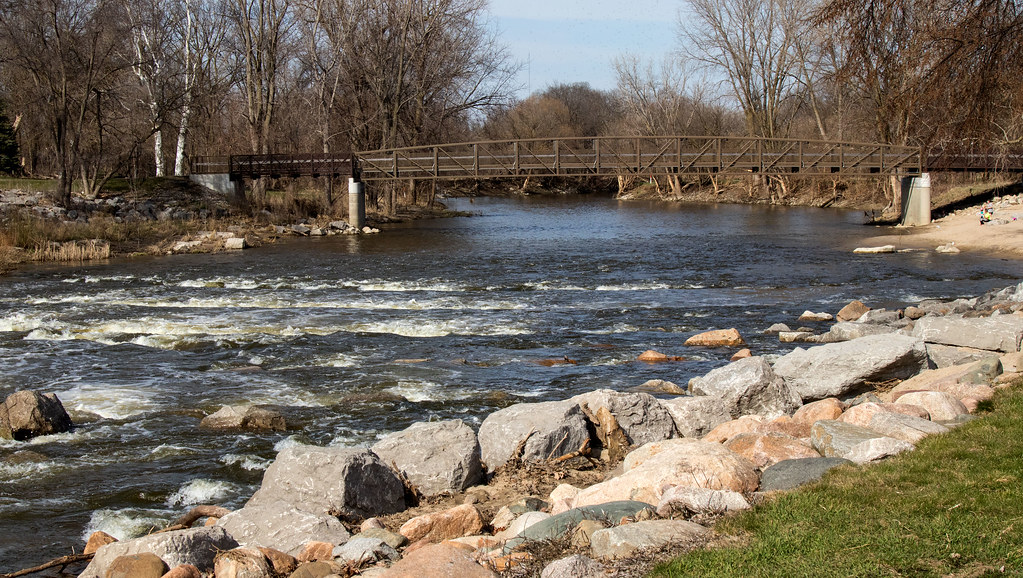
The Shiawassee River is a 110-mile-long river that drains an area of 1,201 square miles within Oakland, Genesee, Livingston, Shiawassee, Midland, and Saginaw counties in Michigan. Its name is derived from the Chippewa word “shia-was-see” meaning “the river straight ahead.”
The river rises in Oakland County in Springfield Township at Shiawassee Lake and flows in a generally northerly direction before joining the Tittabawassee River to create the Saginaw River, which drains into Saginaw Bay of Lake Huron. The river supports over 61 species of fish and 14 species of freshwater mussel, and the swamps and fens adjacent to its headwaters play a major role in the travels of migratory waterfowl and shorebirds.
St. Clair River
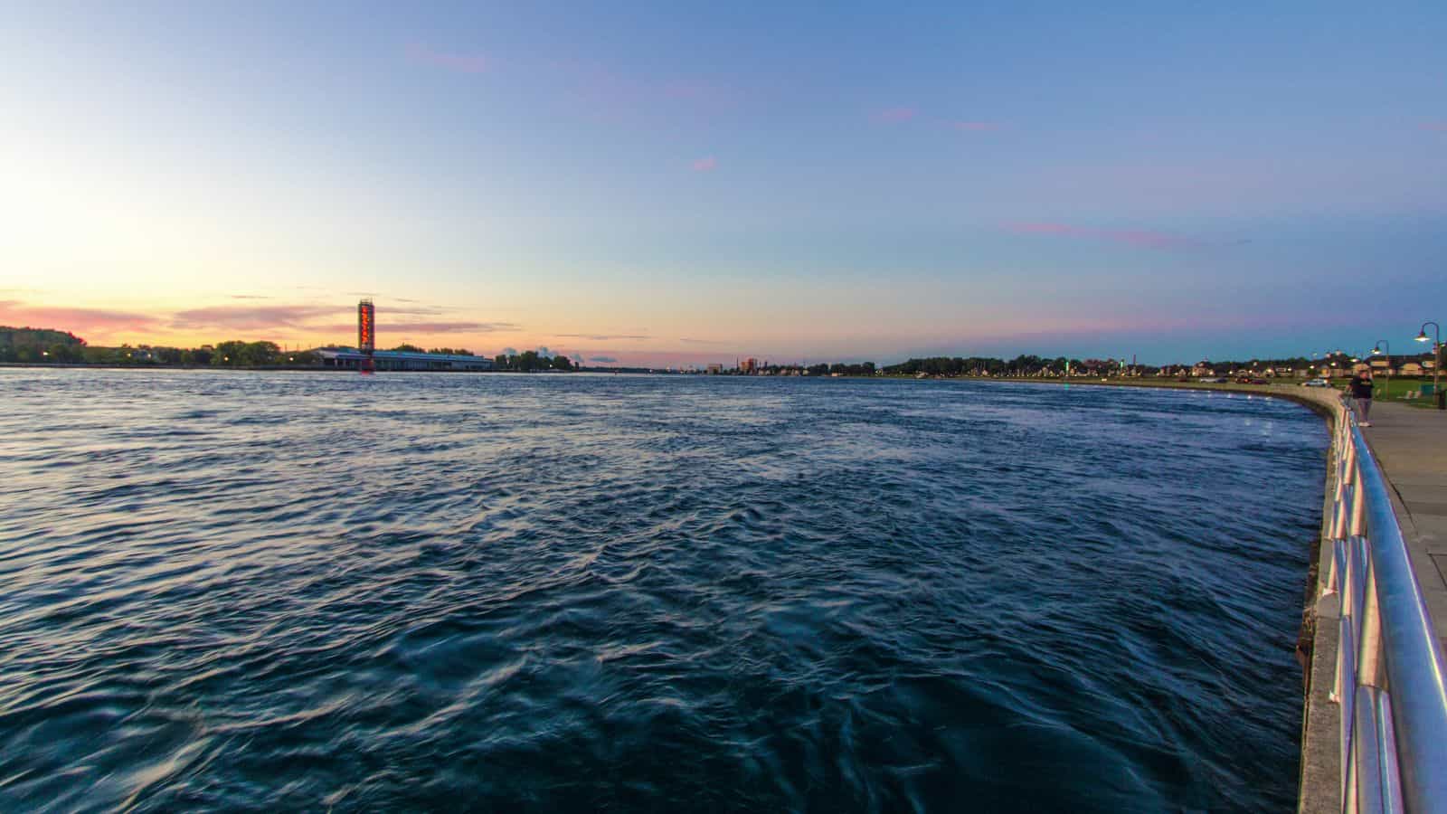
The St. Clair River is a 40.5-mile-long river that flows from Lake Huron into Lake St. Clair, forming part of the international boundary between Canada and the United States and between Ontario and Michigan.
The river is a significant component of the Great Lakes Waterway, which allows cargo vessels to travel between the upper and lower Great Lakes. The river is also known for its strong current and is a popular spot for recreational boating and fishing.
Detroit River
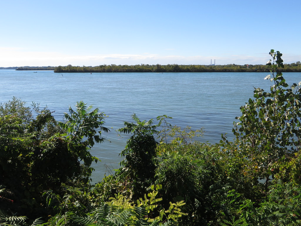
The Detroit River is a 24 nautical mile-long strait that flows from Lake St. Clair to Lake Erie, forming part of the border between Canada and the United States and dividing the metropolitan areas of Detroit and Windsor.
The river has played an important role in the history of the two cities and is one of the world’s busiest waterways, connecting Lake Michigan, Lake Huron, and Lake Superior to Lake Erie and eventually to Lake Ontario, the St. Lawrence Seaway, and the Erie Canal.
Despite being notoriously polluted during Detroit’s rapid industrialization in the 20th century, a vast restoration effort has been undertaken since the late 20th century due to the river’s ecological importance, and it is now designated both an American and Canadian Heritage River.
Lakes
Lake Michigan

Lake Michigan is the second-largest of the Great Lakes by volume and the third-largest by surface area, after Lake Superior and Lake Huron. It is shared by the U.S. states of Wisconsin, Illinois, Indiana, and Michigan, and is the only one of the five Great Lakes located fully in the United States.
The lake is flanked by multiple long bays, including Green Bay in the northwest, and Grand Traverse and Little Traverse bays in the northeast, and is the world’s largest lake by area located fully in one country.
Lake Huron

Lake Huron is one of the five Great Lakes of North America, sharing its northern and eastern shores with the Canadian province of Ontario and its southern and western shores with the U.S. state of Michigan. Hydrologically, it comprises the easterly portion of Lake Michigan-Huron, having the same surface elevation as Lake Michigan, to which it is connected by the Straits of Mackinac.
The lake is named after the Huron people who inhabited the region, and the Huronian glaciation was named from evidence collected from the Lake Huron region. The lake has several notable features, including the North Channel and Georgian Bay in the north, Saginaw Bay in the southwest, and the St. Marys River as the main inlet and the St. Clair River as the main outlet.
Lake Superior

Lake Superior is the largest freshwater lake in the world by surface area and the third-largest by volume, holding 10% of the world’s surface freshwater.
It is located in central North America, straddling the Canada-United States border with the Canadian province of Ontario to the north and east, the U.S. states of Minnesota to the west, and Wisconsin and Michigan to the south. The lake drains into Lake Huron via the St. Marys River, and ultimately into the Atlantic Ocean via the St. Lawrence River, after flowing through the lower Great Lakes.
Lake Erie

Lake Erie is the southernmost, shallowest, and smallest by volume of the Great Lakes, and is the fourth-largest by surface area. The lake’s northern shore is the Canadian province of Ontario, while the western, southern, and eastern shores are shared by the U.S. states of Michigan, Ohio, Pennsylvania, and New York.
The lake’s primary inlet is the Detroit River, and its main natural outflow is via the Niagara River, which provides hydroelectric power to Canada and the U.S. Some outflow also occurs via the Welland Canal, part of the Saint Lawrence Seaway. While Lake Erie has been a significant source of hydroelectric power, overfishing, pollution, algae blooms, and eutrophication have been ongoing environmental concerns for decades.
Lake St. Clair
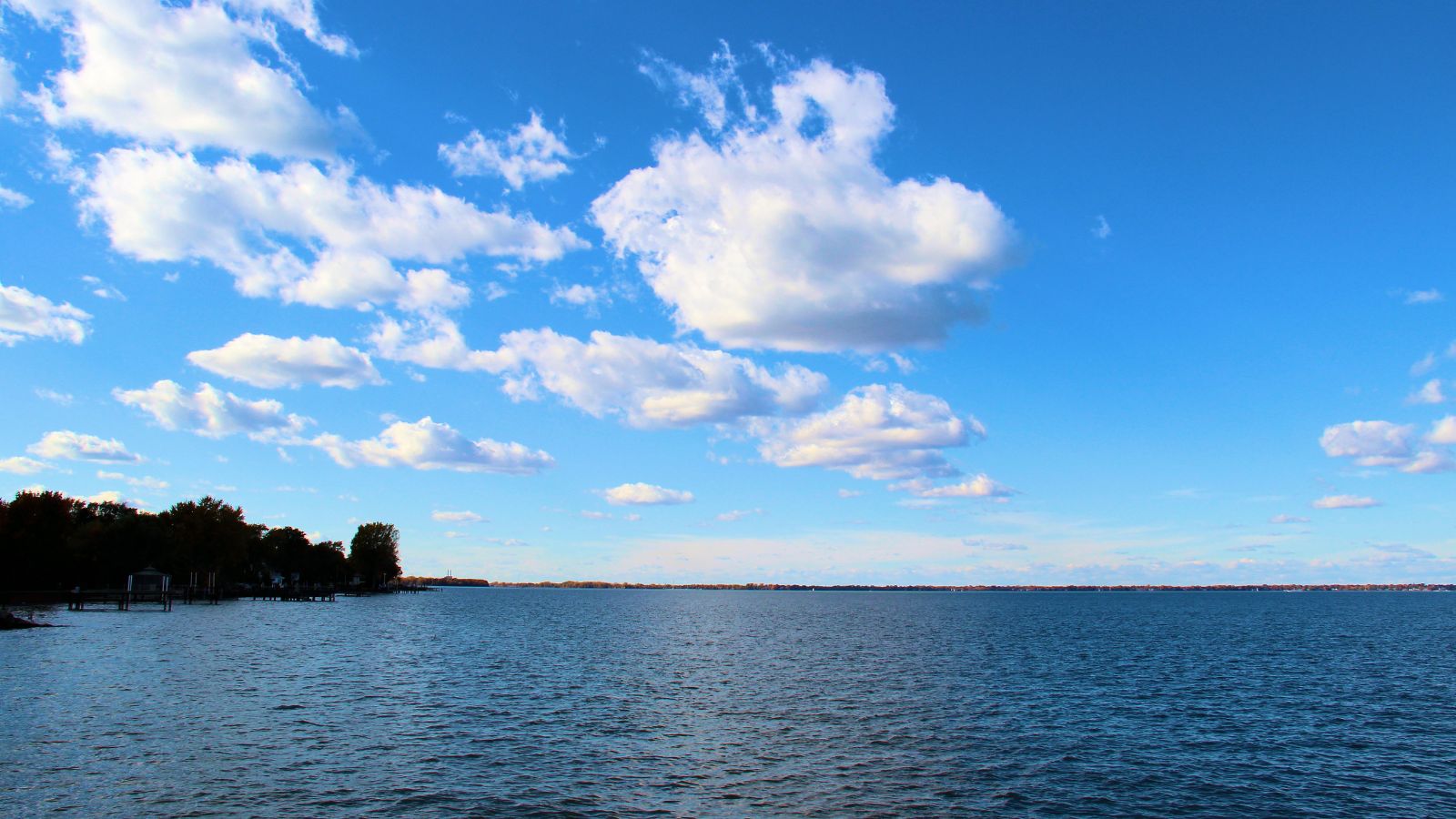
Lake St. Clair is a freshwater lake that lies between the Canadian province of Ontario and the U.S. state of Michigan. It is part of the Great Lakes system and connects Lake Huron to the north with Lake Erie to the south, along with the St. Clair River and Detroit River.
Named after Saint Clare of Assisi by French Catholic explorers in 1679, Lake St. Clair has a total surface area of about 430 square miles and an average depth of just 11 feet. Despite its shallow depth, a 30-foot-deep shipping channel has been maintained through the lake for over a century to ensure an uninterrupted waterway.
Mullet Lake
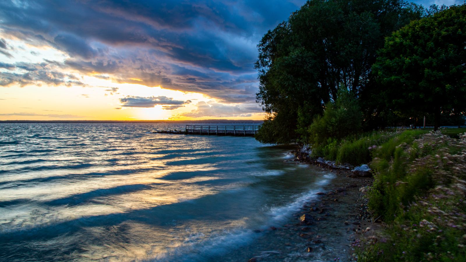
Mullett Lake is located in Cheboygan County, Michigan, and is named after John Mullett, who surveyed the area with William A. Burt from 1840 to 1843. The lake is part of the Inland Waterway and is connected to nearby Burt Lake by the Indian River, as well as other major inflows such as the Pigeon River and Mullett Creek.
Mullett Lake is known for its excellent fishery, with large populations of game species such as brown trout, brook trout, rainbow trout, lake trout, splake, smelt, northern pike, muskellunge, yellow perch, walleye, smallmouth bass, largemouth bass, sunfish, and lake sturgeon – the state record specimen was taken from these waters.
Lake Gogebic

Lake Gogebic is the largest natural inland lake in the Upper Peninsula of Michigan, located within the Ottawa National Forest. It is in the far western end of the Upper Peninsula, close to the Wisconsin border, and is in parts of two counties, Gogebic County and Ontonagon County.
The lake is home to a variety of fish species, including black bullhead, black crappie, brown bullhead, burbot, cisco, common shiner, creek chub, golden shiner, northern pike, pumpkinseed, rock bass, smallmouth bass, walleye, white sucker, and yellow perch. While the lake is natural, its level is regulated by the Upper Peninsula Power Company through its Bergland Dam located downstream on the West Branch of the Ontonagon River.
Big Bay De Noc

Big Bay de Noc is a bay in the Upper Peninsula of Michigan that opens into Lake Michigan’s Green Bay, enclosed by Delta County. The Garden Peninsula is located on the east side of the bay, while the Stonington Peninsula is on the west side.
The bay played an important role in the 19th-century Lake Michigan iron smelting industry and is historically significant. Fayette State Park, which preserves a former smelting complex, is located on the bay’s shore, and the Peninsula Point Light marks the entrance of the bay. Additionally, the state park’s Snail Shell Harbor provides a refuge for small boats and yachts.
Manistique Lake

Manistique Lake, also known as Big Manistique Lake, is a large lake in the Upper Peninsula of Michigan, spanning over 10,130 acres. It is one of the largest lakes in the region, measuring approximately 6.5 miles long and 4 miles wide. The lake is relatively shallow, with an average depth of 10 feet and a maximum depth of 20 feet.
It is a popular destination for summer recreational activities such as swimming, powerboating, fishing, and camping. The Michigan Department of Natural Resources recommends the lake for fishing and boating, as it is home to a variety of fish species including bluegill, largemouth bass, muskie, perch, northern pike, rock bass, smallmouth bass, sunfish, and walleye.

