Nestled between the borders of the Midwest, Indiana’s natural beauty captures more than its cornfields, encompassing a breathtaking composition of waterways that flow like musical notes through its landscape.
The Hoosier State, often celebrated for its heartland spirit, unveils a hidden sonnet—a narrative woven by the currents of its rivers and the reflective stillness of its lakes.
In this article, join us as we uncover the significance of these aquatic melodies, delving into the diverse stories that shape the rhythm of Indiana’s identity and offer a serene counterpoint to its bustling urban centers and serene landscapes!
Printable Indiana Lakes and Rivers Map
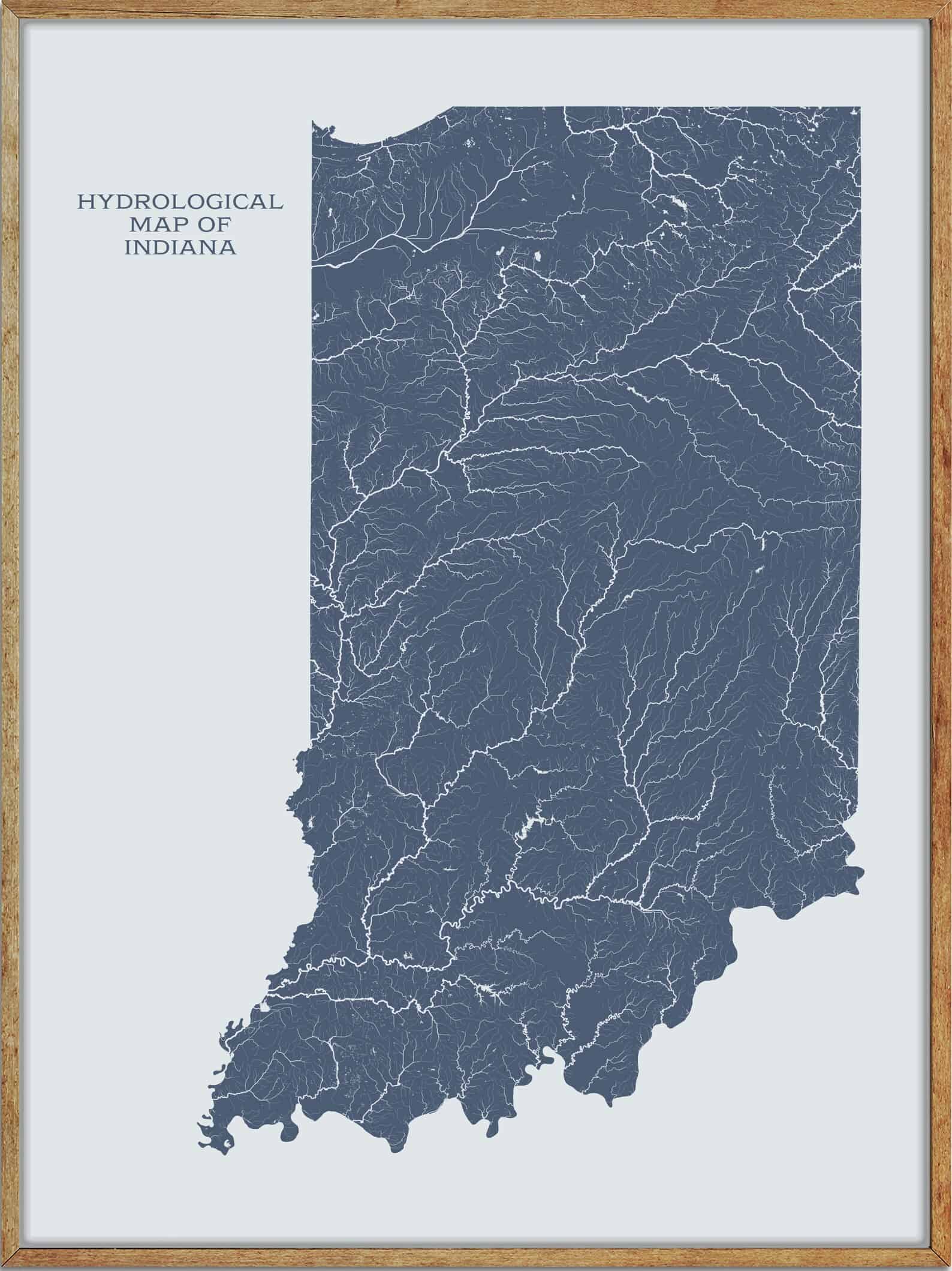
River Map
Wabash River
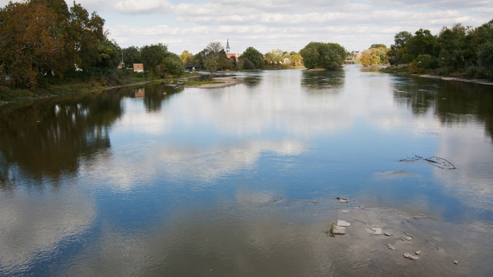
The Wabash River is a 503-mile-long river that drains most of the state of Indiana, flowing from the headwaters in Ohio, near the Indiana border, then southwest across northern Indiana, eventually flowing into the Ohio River.
It is the largest northern tributary of the Ohio River and the third-largest overall, behind the Cumberland and Tennessee-based rivers, with its watershed draining most of Indiana.
Fun Fact: The Wabash is the state river of Indiana, and the subject of the state song “On the Banks of the Wabash, Far Away” by Paul Dresser, with several bridges, avenues, and other landmarks named after it!
White River

The White River is a two-forked river that flows through central and southern Indiana, serving as the main tributary to the Wabash River. It stretches 362 miles long, with Indiana’s capital, Indianapolis, located on the river.
The two forks of the river meet just north of Petersburg and empty into the Wabash River at Mount Carmel, Illinois. The west fork is considered to be the main stem of the river by the U.S. Board on Geographic Names.
Ohio River

The Ohio River is a 981-mile-long river that flows through the United States, serving as the third largest river by discharge volume in the country and the largest tributary by volume of the Mississippi River.
The river flows through or along the border of six states, and its drainage basin includes parts of 14 states, with its largest tributary being the Tennessee River.
The Ohio River became a primary transportation route for pioneers during the westward expansion of the early U.S., and its name comes from the Seneca, ‘Ohi:yo’, meaning “Good River.”
Tippecanoe River
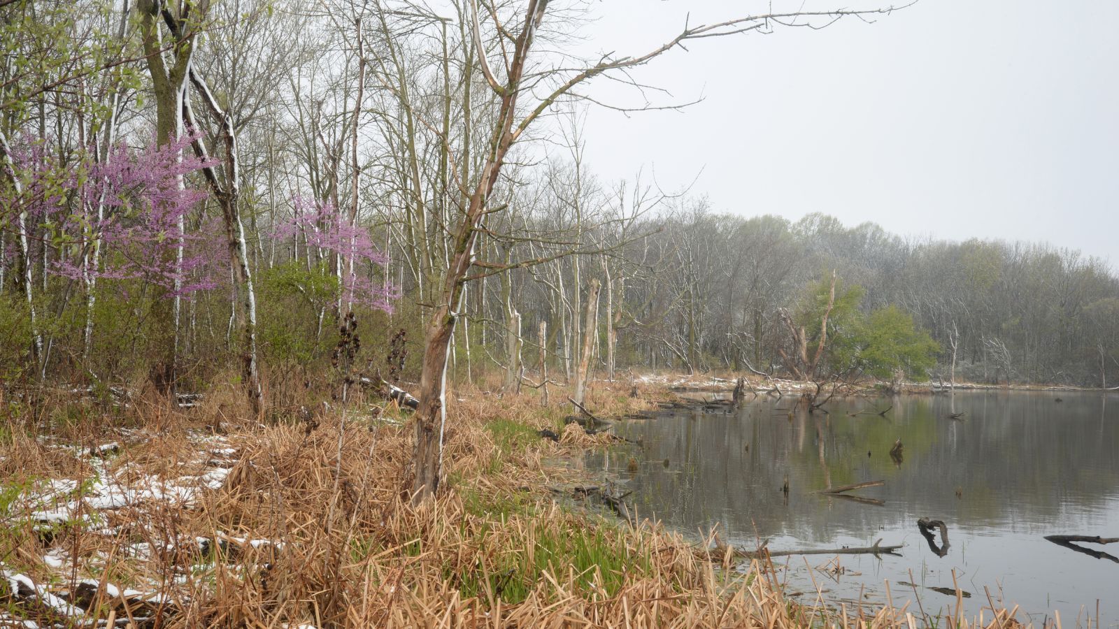
The Tippecanoe River is 182 miles long, located in northern Indiana, flowing from Crooked Lake in Noble County to the Wabash River near what is now Battle Ground, about 12 miles northeast of Lafayette.
The river is fed by 88 natural lakes and has a drainage area of 1,250,000 acres, spanning 14 counties, and it supports numerous imperiled species than most streams of the upper Midwest.
The river originates from multiple kettle lakes formed by ancient glaciers and flows through several counties, including Kosciusko, Marshall, Fulton, Pulaski, White, and finally Tippecanoe, where it joins the Wabash River.
St Joseph River
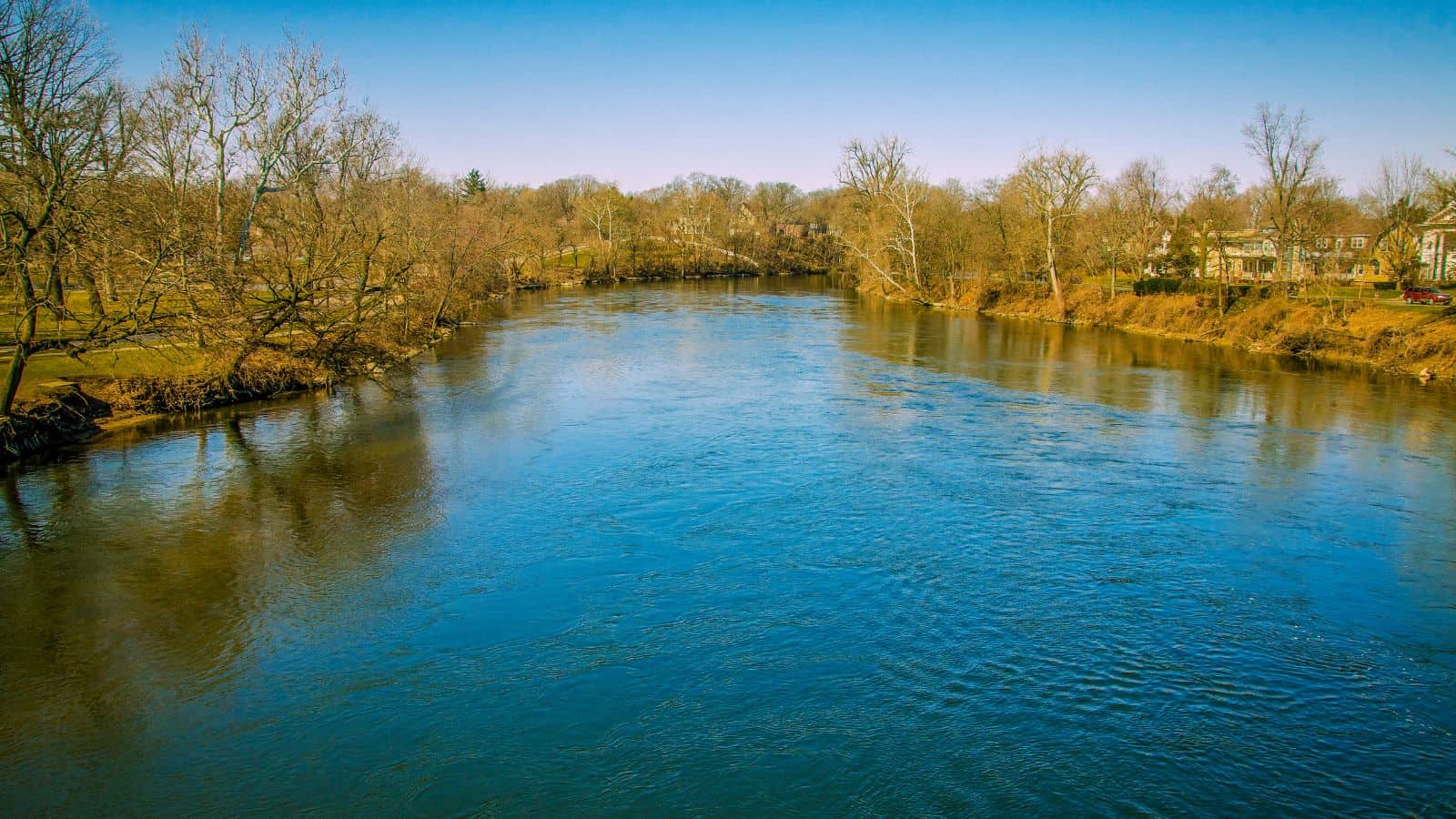
The St. Joseph River is an 86.1-mile-long tributary of the Maumee River in northwestern Ohio and northeastern Indiana, with headwater tributaries rising in southern Michigan.
The river drains a primarily rural farming region in the watershed of Lake Erie and formed as a meltwater channel between the north limbs of two moraines, the Wabash Moraine and Fort Wayne Moraine, located at the end of the Wisconsin glaciation.
The shrinkage of Glacial Lake Maumee later caused the opening of the modern Maumee River, which captured the flow of the St. Joseph and the St. Marys, causing the St. Marys to reverse its course to meet the flow of the St. Joseph almost head-on.
Mississinewa River

The Mississinewa River is a 120-mile-long tributary of the Wabash River in eastern Indiana and a small portion of western Ohio, and it’s the third largest tributary behind the White and Little Wabash Rivers, only slightly larger than Embarras and Vermilion.
The word Mississinewa is partly derived from the Miami Indian word ‘nimacihsinwi’ which means “It lies on a slope.”
The river initially flows westward in a heavily straightened and channelized course through northern Randolph and Delaware counties and turns northwestward in Delaware County.
It flows through Grant, Wabash, and Miami counties before joining the Wabash River from the south in Miami County, about 2 miles east of Peru.
Kankakee River
The Kankakee River is a 133-mile-long tributary of the Illinois River, flowing through a primarily rural farming region of reclaimed cropland in the Central Corn Belt Plains of northwestern Indiana and northeastern Illinois.
The river rises in northwestern Indiana, flows in a straight channelized course, generally southwestward through rural northwestern Indiana, and curves westward and ceases to be channelized as it enters Kankakee County in northeastern Illinois.
It receives the Iroquois River from the south and turns sharply to the northwest for its lower 35 miles. Eventually, it joins the Des Plaines River from the south to form the Illinois River, approximately 50 miles southwest of Chicago.
Patoka River
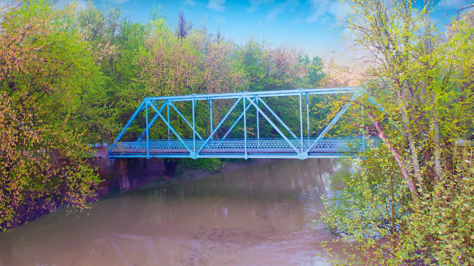
The Patoka River is a 167-mile-long tributary of the Wabash River in southwestern Indiana, draining a largely rural area of forested bottomland and agricultural lands among the hills north of Evansville.
It rises in the Hoosier National Forest in southeastern Orange County and flows generally west, passing through Patoka Lake, where it is impounded for flood control.
The river was once home to a highly diverse habitat that supported mussel, crayfish, and fish communities, but a decline in aquatic life is believed to be a result of acidic runoff from strip mining and spills. Contamination from petroleum and natural gas exploration in its watershed has also occurred.
Maumee River
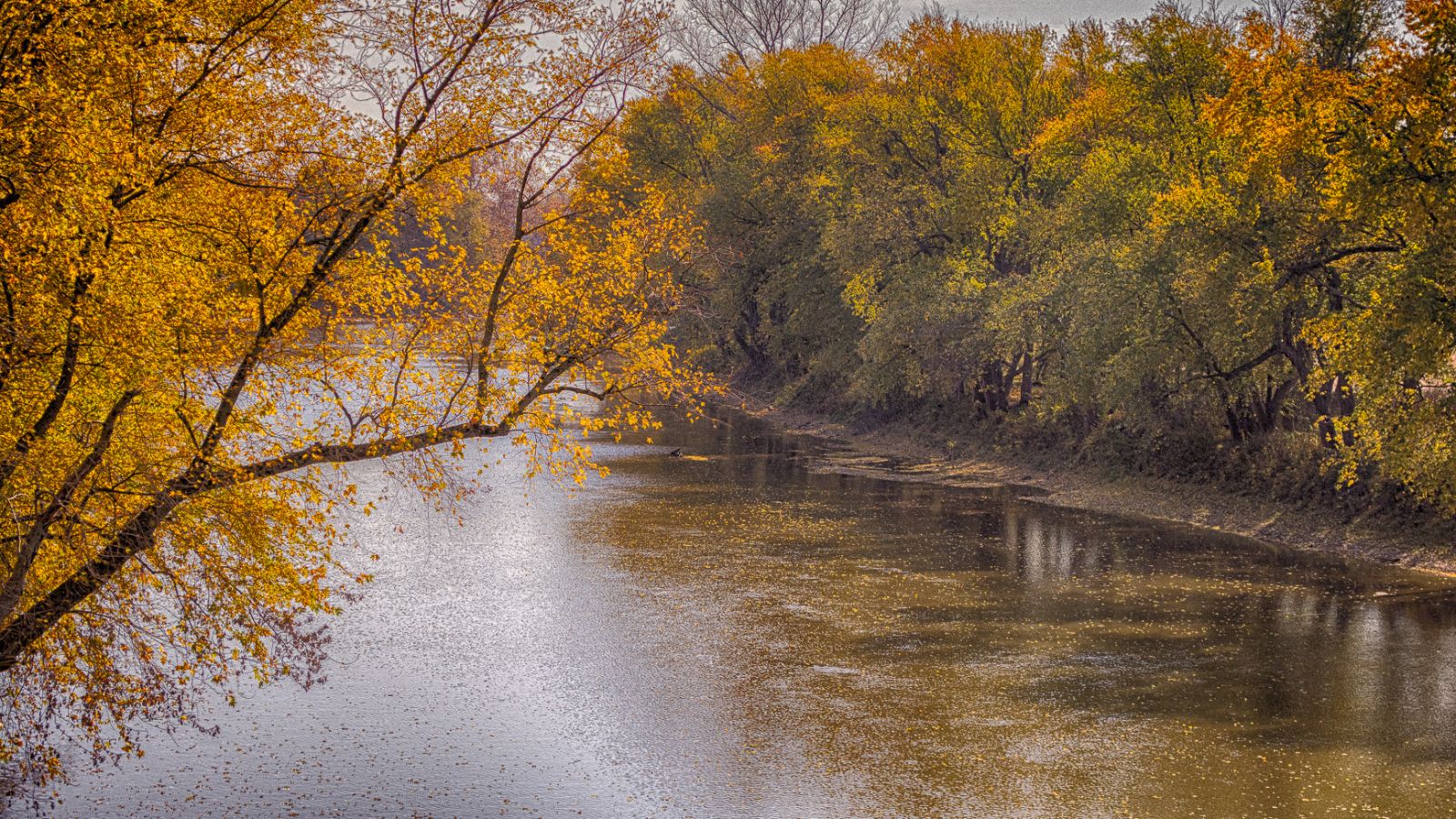
The Maumee River runs in the Midwest from northeastern Indiana into northwestern Ohio and Lake Erie, formed at the confluence of the St. Joseph and St. Marys rivers, where Fort Wayne, Indiana has developed.
It meanders northeastwardly for 137 miles through an agricultural region of glacial moraines before flowing into the Maumee Bay of Lake Erie, and the city of Toledo is located at the mouth of the Maumee.
The Maumee watershed is Ohio’s breadbasket, and it is the largest watershed of any of the rivers feeding the Great Lakes, supplying five percent of Lake Erie’s water.
Salamonie River
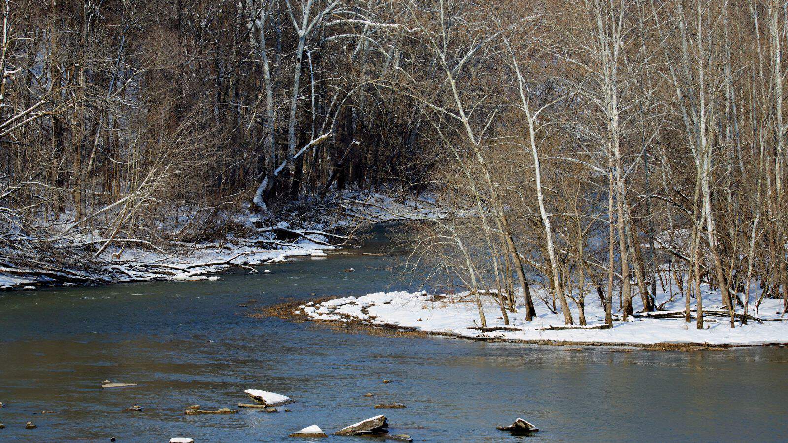
The Salamonie River is an 84.4-mile-long tributary of the Wabash River, in eastern Indiana, and it is part of the watershed of the Mississippi River, via the Wabash and Ohio rivers.
The river originates near Salamonia in southeastern Jay County and flows northwest through the Blackford, Wells, Huntington, and Wabash counties.
It goes past the communities of Portland, Pennville, Montpelier, Warren, and Mount Etna before joining the Wabash River from the south in Wabash County, opposite Lagro.
The USS Salamonie was named for the river, and a U.S. Army Corps of Engineers dam was completed for the purpose of flood control in 1966, which caused the river to form Salamonie Lake in Wabash County.
Big Blue River
The Big Blue River is an 83.8-mile-long tributary of the Driftwood River in east-central Indiana. It is part of the watershed of the Mississippi River, via the Driftwood, White, Wabash, and Ohio rivers.
The river rises in northeastern Henry County and flows southwest through Rush, Hancock, Shelby, and Johnson counties, past the towns of New Castle, Knightstown, Carthage, Morristown, Shelbyville, and Edinburgh.
It joins Sugar Creek to form the Driftwood River, 1 mile west of Edinburgh and collects the Little Blue River at Shelbyville.
Flatrock River
The Flatrock River is a 98-mile-long tributary of the East Fork of the White River in east-central Indiana, and it is part of the watershed of the Mississippi River.
The river rises near Mooreland in northeastern Henry County and generally flows southwest through Rush, Decatur, Shelby, and Bartholomew counties.
It also collects the Little Flatrock River in Decatur County, which rises in Rush County and flows southwestwardly past Milroy.
Whitewater River

The Whitewater River is a tributary of the Great Miami River in southeastern Indiana and southwestern Ohio, formed by the confluence of the West Fork and East Fork.
Though the name is a misnomer (there is no true white water on the river), there are many rapids due to the steep gradient present. The river falls an average of six feet per mile, rendering upstream navigation impossible.
Blue River
The Blue River is a 57-mile-long, two-forked stream that runs through Harrison, Crawford, and Washington counties in Indiana.
The North Fork arises near Salem in Washington County and flows south, while the South Fork arises near New Liberty and flows southwest to Fredericksburg.
The river flows south until it joins the Ohio River in the Harrison-Crawford State Forest, just upstream from Leavenworth.
The Blue River is widely known for its scenic beauty and is one of the premier destinations in Southern Indiana for canoeing and kayaking, receiving a sizeable amount of water from subterranean sources and named for the blueish cast of its clear waters.
Lake Map
Monroe Lake
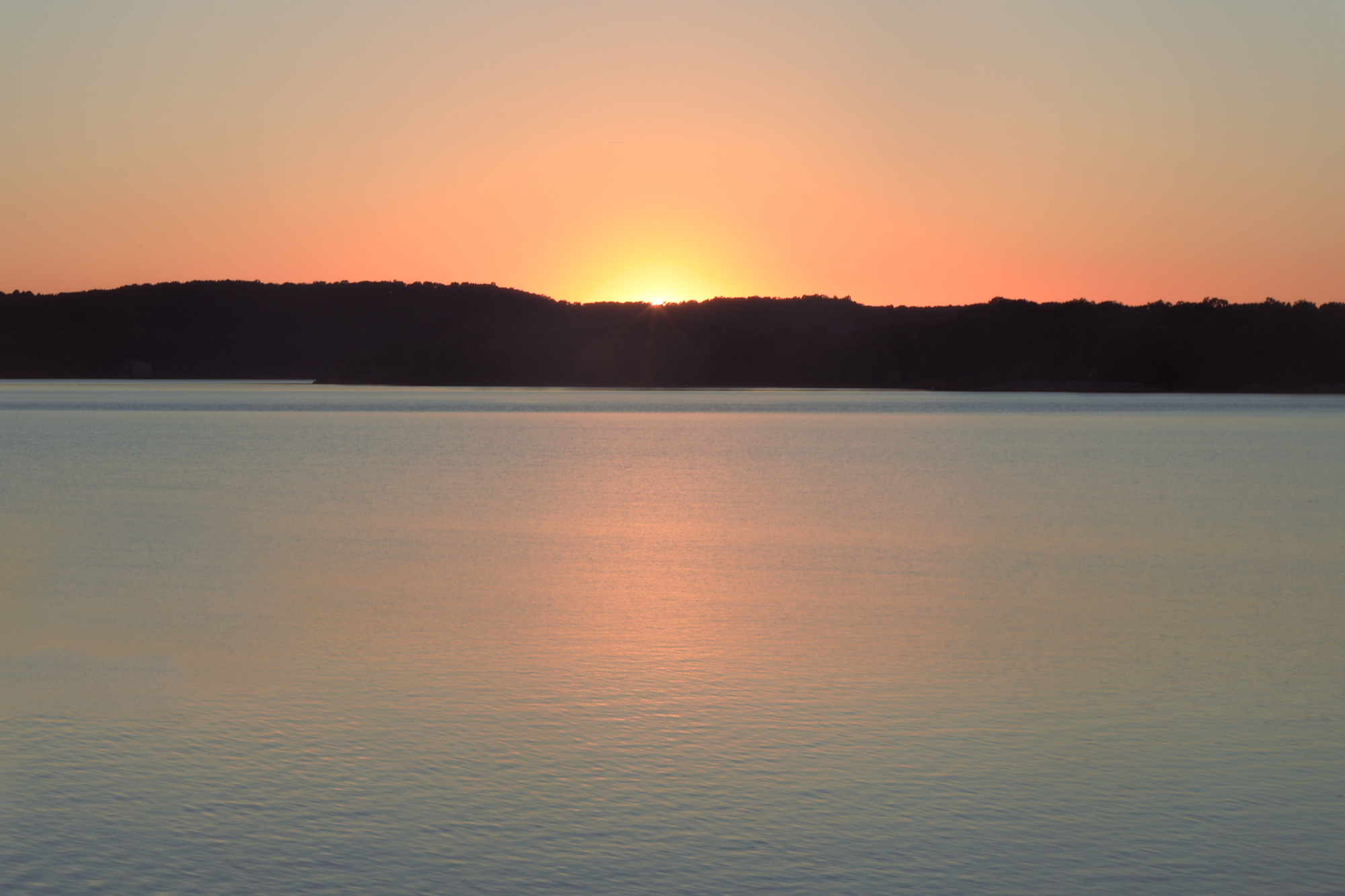
Monroe Lake is the largest reservoir entirely situated in Indiana, located about 10 miles southeast of Bloomington, with 10,750 acres of water surface area spread over the counties of Monroe and Brown.
The lake also features 13,202 acres of protected forest and three recreational areas, and Indiana’s only federally protected U.S. Wilderness Area, the 13,000-acre Charles C. Deam Wilderness Area, is located on the south shore.
The reservoir provides abundant fishing throughout the year, and recreational opportunities such as boating and water skiing attract visitors from throughout Indiana and the Midwest, with the Ransburg Scout Reservation and Fourwinds Resort and Marina among the popular destinations.
Patoka Lake
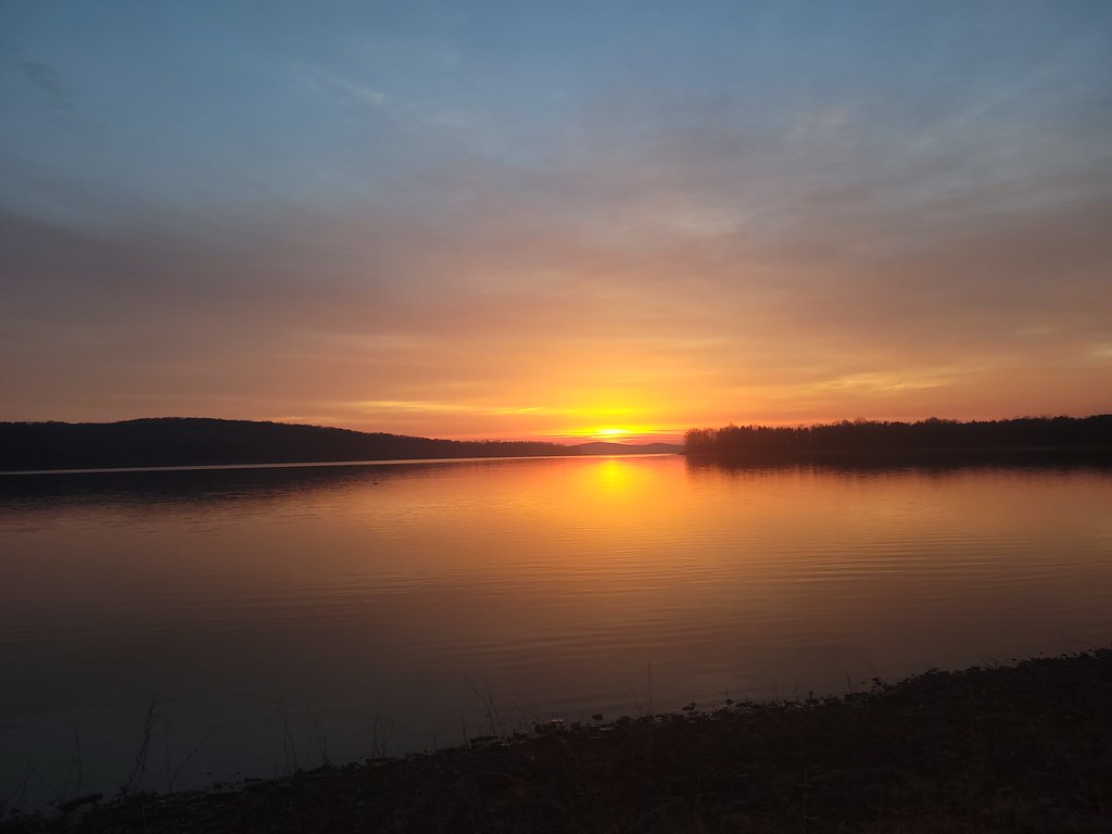
Patoka Lake is the second-largest reservoir in Indiana, spread across Dubois, Crawford, and Orange counties in southern Indiana. The lake is one of eight such reservoirs built in the state to provide a secure water supply and as a method of flood control.
The lake covers 8,800 surface acres of water in the summer and is fed by several smaller tributaries, including Allen Creek, Painter Creek, and Ritter Creek, while several parks and nature preserves were established around it, totaling 16,920 acres.
The lake and dam are still managed by a cooperative management team of the Army Corps of Engineers and the Indiana Department of Natural Resources.
Mississinewa Lake
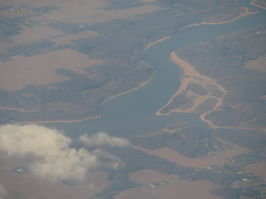
Mississinewa Lake in Indiana has a normal water surface of five square miles and a maximum capacity of 368,400 acre-feet. It operates in conjunction with the J. Edward Roush and Salamonie lakes to prevent flooding downstream in the lower Wabash and Ohio rivers.
The lake offers recreational activities such as fishing, boating, and swimming, with nearby recreation areas including the Miami, Red Bridge, Pearson Mill, and Frances Slocum State Recreation Areas.
Brookville Lake

Brookville Lake in Indiana has a normal water surface of 8.2 square miles, a maximum capacity of 359,600 acre-feet, and a normal storage of 184,900 acre-feet.
The lake offers recreational activities such as boating, hiking, hunting, and fishing for various types of fish, including bluegill, largemouth bass, smallmouth bass, striped bass, catfish, walleye, crappie, muskellunge, trout, and white bass.
Adjacent facilities include the Mounds State Recreation Area and the Whitewater Memorial State Park.
Lake Shafer

Lake Shafer is a popular recreational area located in the Twin Lakes area of Monticello, Indiana, created along with Lake Freeman in the 1920s when two dams were built outside of Monticello on the Tippecanoe River.
The lake remains a significant contributor to the tourism industry of White County, generating an estimated $70 million in tourism revenue.
With its scenic beauty and a range of recreational activities, Lake Shafer is a must-visit destination for tourists and locals alike!

