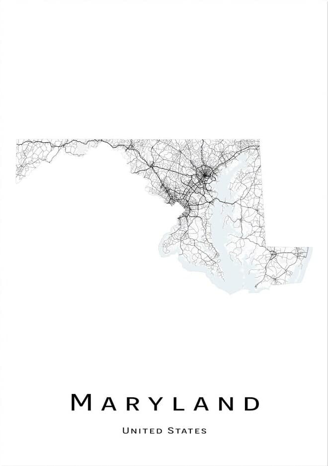
Maryland, located in the Mid-Atlantic region of the United States, is a state known for its rich history, charming small towns, and vibrant cities. With its picturesque coastline, rolling hills, and bustling urban centers, Maryland offers a unique blend of nature and culture. To help visitors and residents navigate this beautiful state, we have created a detailed map of Maryland with cities and highways.
This map highlights Maryland’s major cities, including Baltimore, Annapolis, Frederick, and Rockville, as well as its primary highways and roads. Whether you’re planning a road trip or simply want to explore Maryland’s unique landscape and culture, this map is an essential tool. So, grab your map and get ready to discover all that Maryland has to offer, from its historic landmarks to its charming small towns and everything in between.
Printable Maryland Map With Cities and Highways
Cities
Columbia
Columbia is a planned community located in Howard County, Maryland. It is a census-designated place consisting of 10 self-contained villages, with a population of 104,681 at the 2020 census, making it the second most populous community in Maryland after Baltimore. Columbia is situated between Baltimore and Washington, D.C., and is officially part of the Baltimore metropolitan area.
The community was developed with the idea that a city could enhance its residents’ quality of life, with developer James Rouse attempting to create a new community in terms of human values, rather than economics and engineering. Columbia was opened in 1967 and was intended to eliminate the inconveniences of then-current subdivision design, as well as racial, religious, and class segregation.
While Columbia proper consists only of the territory governed by the Columbia Association, larger areas are included under its name by the U.S. Postal Service and the Census Bureau, including several other communities that predate Columbia, such as Simpsonville, Atholton, and part of Clarksville.
Germantown
Germantown is an urbanized census-designated place located in Montgomery County, Maryland, United States. With a population of 91,249 as of the 2020 census, it is the third most populous place in Maryland, after Baltimore and Columbia. Germantown is an important part of the Washington metropolitan area, located approximately 28 miles (45 km) outside the U.S. capital of Washington, D.C.
The area was founded in the early 19th century by European immigrants, but much of the development did not take place until the mid-20th century. Germantown is divided into a downtown and six town villages, including Gunners Lake Village, Kingsview Village, Churchill Village, Middlebrook Village, Clopper’s Mill Village, and Neelsville Village.
The area offers easy access to Interstate 270, the Maryland Area Regional Commuter train, and the Germantown Transit Center, which provides Ride On shuttle service to the Shady Grove station of the Washington Metro’s Red Line.
Silver Spring
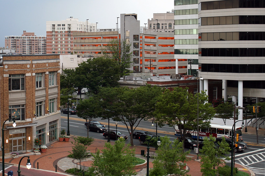
Silver Spring is a census-designated place located in southeastern Montgomery County, Maryland, United States, near Washington, D.C. Although officially unincorporated, it is an edge city with a population of 81,015 at the 2020 census, making it the fifth-most populous place in Maryland after Baltimore, Columbia, Germantown, and Waldorf.
Downtown Silver Spring, located next to the northern tip of Washington, D.C., is the oldest and most urbanized area of Silver Spring, surrounded by several inner suburban residential neighborhoods inside the Capital Beltway. Since 2004, many mixed-use developments combining retail, residential, and office space have been built in the area.
Silver Spring takes its name from a mica-flecked spring discovered in 1840 by Francis Preston Blair, who subsequently bought much of the area’s surrounding land. Acorn Park, south of downtown, is believed to be the site of the original spring. With its proximity to Washington, D.C., and its vibrant urban center, Silver Spring is a popular destination for residents and visitors alike.
Frederick
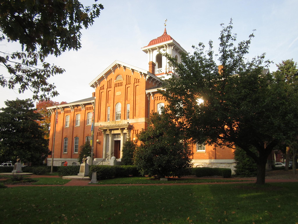
Frederick is a city located in and the county seat of Frederick County, Maryland, United States. The city is situated at an important crossroads at the intersection of a major north-south Native American trail and east-west routes to the Chesapeake Bay, both at Baltimore and what became Washington, D.C., and across the Appalachian mountains to the Ohio River watershed.
With a population of 78,171 people as of the 2020 census, Frederick is the second-largest incorporated city in Maryland behind Baltimore. The city is part of the Washington metropolitan area, which is part of a greater Washington-Baltimore combined statistical area. Frederick is home to the Frederick Municipal Airport, which accommodates general aviation, and Fort Detrick, a U.S. Army bioscience and communications research installation and Frederick County’s largest employer.
With its strategic location and important role in the region’s transportation infrastructure, as well as its strong ties to the military and bioscience industries, Frederick is a key city in Maryland’s economy and a rewarding destination for residents and visitors.
Waldorf
Waldorf is a census-designated place located in Charles County, Maryland, United States. The community is situated 23 miles (37 km) south-southeast of Washington, D.C., and is part of Southern Maryland. With a population of 81,410 at the 2020 census, Waldorf is the fourth-most populous community in the state.
The area has experienced dramatic growth, with its population increasing 16-fold from fewer than 5,000 residents in 1980 to its current population. Waldorf is now the largest commercial and residential area in Southern Maryland, as well as a major suburb in the Washington metropolitan area.
The community offers a wide range of amenities, including shopping centers, restaurants, and recreational facilities, making it a great spot for residents and tourists alike. With its strategic location and strong economic growth, Waldorf is a key community in Maryland’s economy and a vital part of the region’s transportation infrastructure.
Ellicott City
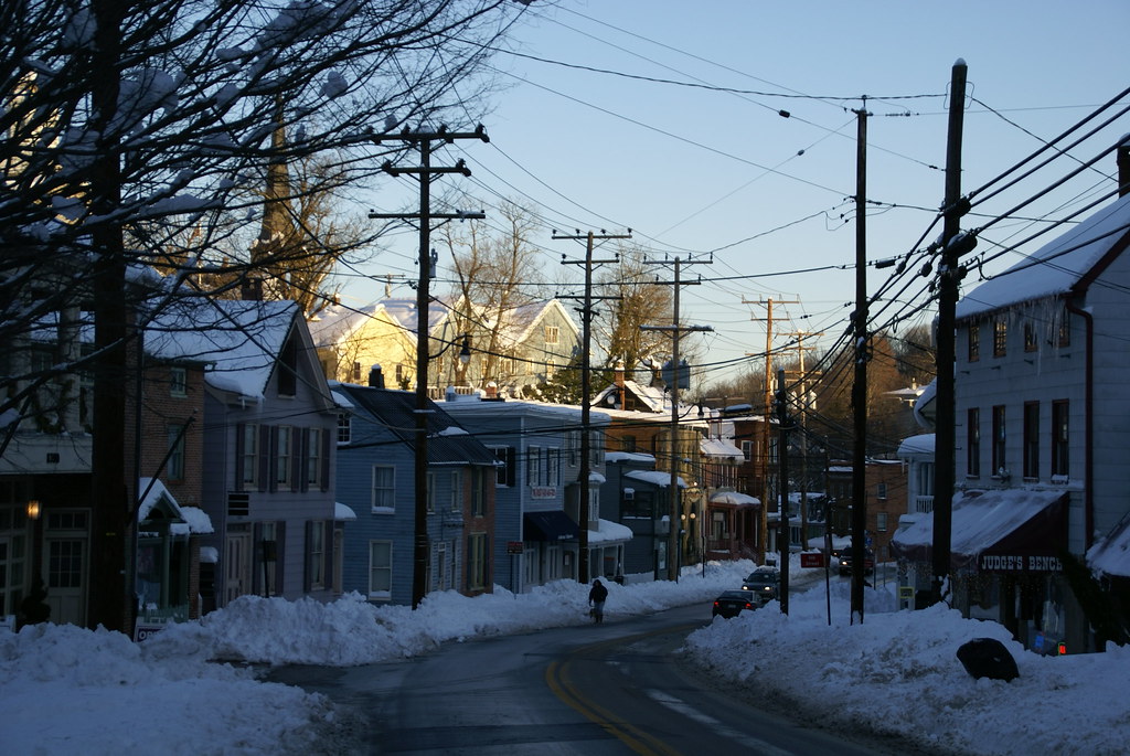
Ellicott City is an unincorporated community and census-designated place in, and the county seat of, Howard County, Maryland, United States. Part of the Baltimore metropolitan area, Ellicott City has a population of 65,834 people as of the 2010 census, making it the most populous unincorporated county seat in the country.
The community’s historic downtown, the Ellicott City Historic District, is located in the valleys of the Tiber and Patapsco rivers. The historic district is home to the Ellicott City Station, which is the oldest surviving train station in the United States, having been built in 1830 as the first terminus of the original B&O Railroad line.
The district is often referred to as “Historic Ellicott City” or “Old Ellicott City,” to distinguish it from the surrounding suburbs that extend south to Columbia and west to West Friendship. With its rich history and charming downtown area, Ellicott City is a popular location for both residents and visitors looking to experience the area’s charming character and cultural heritage.
Glen Burnie

Glen Burnie is an unincorporated town and census-designated place located in Anne Arundel County, Maryland, United States. The community is a suburb of Baltimore and has a population of 72,891 people as of the 2020 census.
Glen Burnie offers a mix of residential and commercial areas, with a number of shopping centers and restaurants located throughout the community. The area is also home to a number of parks and recreational facilities, including the B&A Trail, which is popular among walkers, joggers, and cyclists.
With its proximity to Baltimore and its diverse range of amenities, Glen Burnie is a brilliant choice for residents and visitors looking to explore the best of suburban living in Maryland.
Gaithersburg

Gaithersburg, officially known as the City of Gaithersburg, is a city located in Montgomery County, Maryland, United States. With a population of 69,657 people as of the 2020 U.S. Census, Gaithersburg is the ninth-largest community in the state. The city is situated northwest of Washington, D.C., and is considered a suburb and a primary city within the Washington-Arlington-Alexandria, DC-VA-MD-WV Metropolitan Statistical Area.
Gaithersburg was incorporated as a town in 1878 and as a city in 1968. The city is divided into two sections by Interstate 270, with the historic area of the town located on the eastern side. The eastern section is home to City Hall, the Montgomery County Fairgrounds, and Bohrer Park.
The western side of the city includes many wealthier neighborhoods that were designed with smart growth techniques and embrace New Urbanism. Gaithersburg is known for its ethnic and economic diversity and was ranked second for ethnic diversity among the 501 largest U.S. cities by WalletHub in 2021. The city is home to major employers such as the National Institute of Standards and Technology, IBM, Lockheed Martin, AstraZeneca, and Sodexo.
Rockville
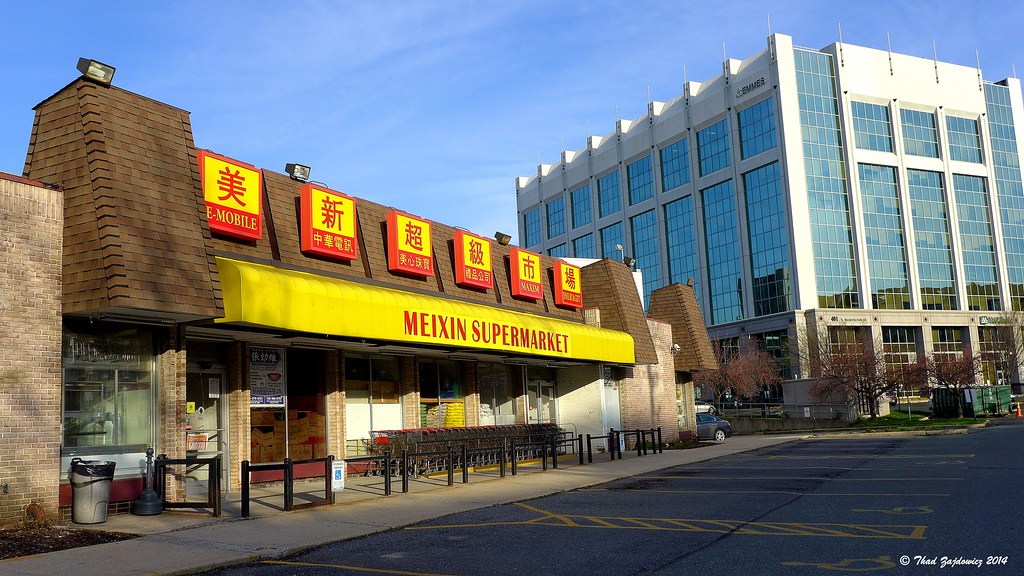
Rockville is a city located in and the county seat of Montgomery County, Maryland, United States. The city is part of the Baltimore-Washington metropolitan area and has a population of 67,117 people as of the 2020 census, making it the fourth-largest community in Maryland.
Rockville, along with neighboring Gaithersburg and Bethesda, is at the core of the Interstate 270 Technology Corridor, which is home to numerous software and biotechnology companies, as well as several federal government institutions. The city is one of the major retail hubs in Montgomery County, with several upscale regional shopping centers.
Rockville offers a mix of residential, commercial, and industrial areas, with a number of parks and recreational facilities located throughout the community. With its strategic location, strong economy, and diverse range of amenities, Rockville is a fulfilling destination for both residents and visitors.
Dundalk
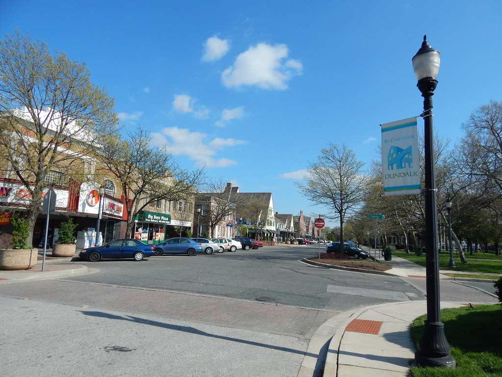
Dundalk is an unincorporated community and census-designated place located in Baltimore County, Maryland, United States. The population of Dundalk was 67,796 people as of the 2020 census. The community was named after the town of Dundalk, Ireland.
Dundalk is considered one of the first inner-ring suburbs of Baltimore and has a rich history dating back to the early 20th century. In 1960 and 1970, Dundalk was the largest unincorporated community in Maryland, and it remains an important part of the Baltimore metropolitan area today.
Dundalk offers a mix of residential, commercial, and industrial areas, with a number of parks and recreational facilities located throughout the community. With its proximity to Baltimore and its diverse range of amenities, Dundalk is a great place for residents and visitors looking for the best of suburban living in Maryland.
Bethesda
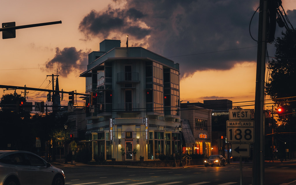
Bethesda is an unincorporated, census-designated place located in southern Montgomery County, Maryland, United States. The community is situated just northwest of Washington, D.C., and takes its name from a local church, the Bethesda Meeting House, which was named after Jerusalem’s Pool of Bethesda.
The National Institutes of Health’s main campus and the Walter Reed National Military Medical Center are both located in Bethesda, in addition to a number of corporate and government headquarters. As an unincorporated community, Bethesda has no official boundaries. The community had a total population of 68,056 people as of the 2020 U.S. census.
Bethesda offers a mix of residential, commercial, and industrial areas, with a number of parks and recreational facilities located throughout the community. With its proximity to Washington, D.C., and its diverse range of amenities, Bethesda is a wonderful choice for residents and visitors.
Towson

Towson is an unincorporated community and a census-designated place located in Baltimore County, Maryland, United States. The community serves as the county seat of Baltimore County and has a population of 55,197 people as of the 2010 census. Towson is the second-most populous unincorporated county seat in the United States, after nearby Ellicott City, which is the seat of Howard County.
Towson offers a mix of residential, commercial, and institutional areas, with a number of parks and recreational facilities located throughout the community. The community is home to Towson University, which is the second-largest university in the University System of Maryland.
Towson is also known for its thriving downtown area, which features a variety of shops, restaurants, and entertainment venues. With its strategic location and diverse range of amenities, Towson is a marvelous option for residents and visitors looking to explore suburban living in Maryland.
Bowie
Bowie is a city located in Prince George’s County, Maryland, United States. The population of Bowie was 58,329 people as of the 2020 census. The city has grown from a small railroad stop to become the largest municipality in Prince George’s County, the fifth most populous city, and the third largest city by area in the state of Maryland.
In 2014, CNN Money ranked Bowie 28th in its Best Places to Live list in the United States. Bowie offers a mix of residential, commercial, and industrial areas, with a number of parks and recreational facilities located throughout the community.
The city is also home to Bowie State University, which is a historically black university and a member of the University System of Maryland. With its diverse range of amenities, strong economy, and strategic location, Bowie is a popular destination for anyone looking to explore the suburbs in Maryland.
Bel Air South
Bel Air South is a census-designated place located in Harford County, Maryland, United States. The population of Bel Air South was 47,709 people as of the 2010 census, an increase from 39,711 in 2000.
The community is situated in the heart of Harford County and offers a mix of residential, commercial, and industrial areas, with a number of parks and recreational facilities located throughout the community. Bel Air South is known for its strong sense of community and its commitment to preserving its natural beauty and historic landmarks.
The community is home to a number of public and private schools, as well as a variety of shopping centers, restaurants, and entertainment venues. With its diverse range of amenities and robust economy, Bel Air South is a lovely destination for anyone wanting to experience the best of suburban living in Maryland.
Severn
Severn is a census-designated place located in Anne Arundel County, Maryland, United States. The population of Severn was 57,118 people as of the 2020 U.S. census, which marked a 22.6% increase from 44,231 in 2010. The community is situated in the heart of Anne Arundel County and offers a mix of residential, commercial, and industrial areas, with a number of parks and recreational facilities located throughout the community.
Severn is known for its strong sense of community and its commitment to preserving its natural beauty and historic landmarks. The community is home to a number of public and private schools, as well as a variety of shopping centers, restaurants, and entertainment venues.
With its diverse array of amenities and bustling economy, Severn is a popular destination for residents and visitors looking to experience the comforts of suburban life in Maryland. The zip code for Severn is 21144.
Aspen Hill
![Maryland Map With Cities and Highways: Explore With Ease 11 Northgate Shopping Center [02]](https://live.staticflickr.com/65535/50847279667_1f56985540_b.jpg)
Aspen Hill is a census-designated place and an unincorporated area located in Montgomery County, Maryland, United States. The community is situated 6 miles north of Washington D.C. and has a population of 51,063 people as of the 2020 census.
Aspen Hill offers a mix of residential, commercial, and institutional areas, with a number of parks and recreational facilities located throughout the community. The community is home to several large shopping centers, including the Aspen Hill Shopping Center and the Plaza del Mercado.
Aspen Hill is also known for its strong sense of community and its commitment to preserving its natural beauty and historic landmarks. With its strategic location, diverse range of amenities, and strong economy, Aspen Hill is a rewarding area to live or visit.
Wheaton
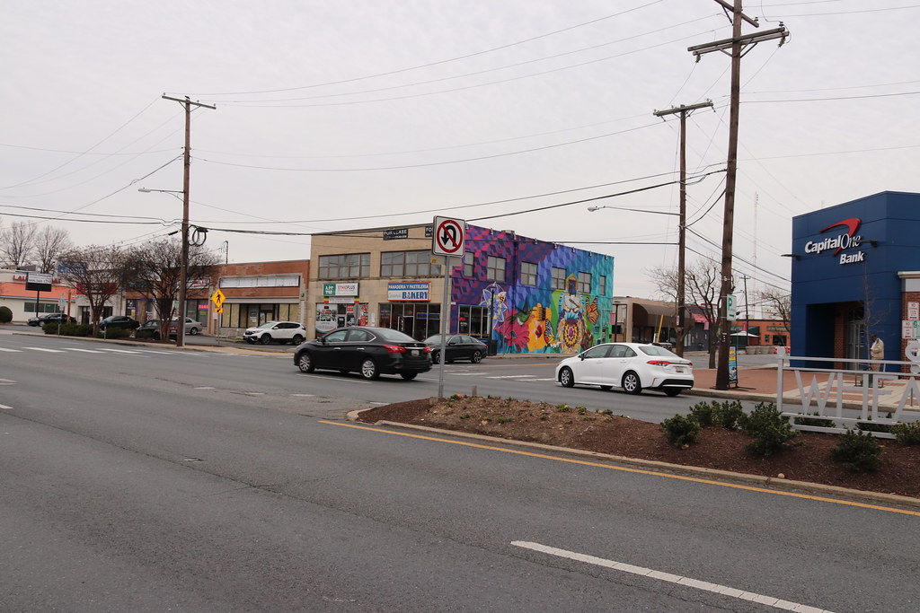
Wheaton is a census-designated place located in Montgomery County, Maryland. The community is situated north of Washington, D.C., and northwest of downtown Silver Spring. Wheaton takes its name from Frank Wheaton, a career officer in the United States Army and volunteer from Rhode Island in the Union Army who rose to the rank of major-general while serving before, during, and after the Civil War.
Wheaton had a population of 52,150 people as of the 2020 census. The United States Postal Service has assigned ZIP code 20902 to Wheaton, although the Wheaton Post Office is a part of the larger Silver Spring area. Downtown Wheaton is located around the triangle formed by Veirs Mill Road, University Boulevard, and Georgia Avenue.
The community offers a mix of residential, commercial, and institutional areas, with a number of parks and recreational facilities located throughout the community. Wheaton is known for its diverse range of cultural attractions, including the Wheaton Regional Park, the Brookside Gardens, and the Wheaton Arts and Entertainment District.
With its convenient location, thriving economy, and strong range of amenities, Wheaton is a popular destination for residents and visitors looking for a welcoming experience in Maryland.
North Bethesda
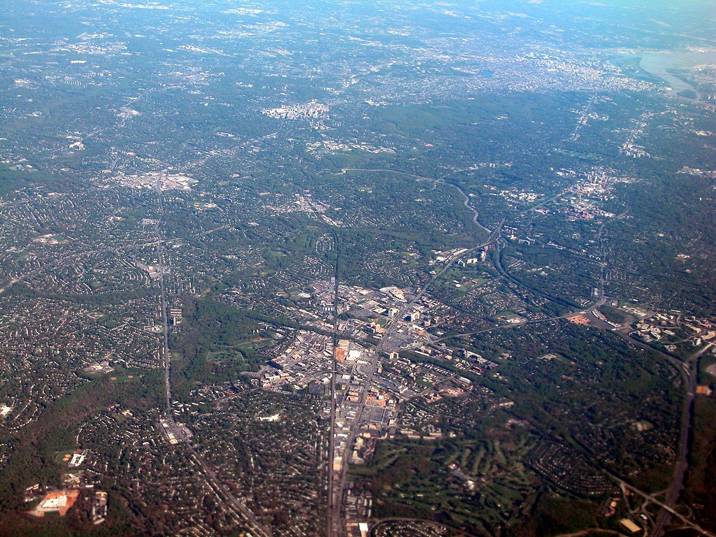
North Bethesda is an unincorporated, census-designated place located in Montgomery County, Maryland, United States, situated just northwest of the U.S. capital of Washington, D.C. The community had a population of 50,094 people as of the 2020 census. Among its neighborhoods, the centrally-located, urbanizing district of White Flint is the commercial and residential hub of North Bethesda.
The Pike & Rose development and the Pike District is an initiative of Montgomery County to brand and market this region as “North Bethesda’s Urban Core”. The WMATA North Bethesda metro station and Grosvenor-Strathmore metro station serve the region, providing easy access to downtown Washington, D.C., and other parts of the metropolitan area.
North Bethesda is home to a number of federal agencies, including four of the National Institutes of Health, the Nuclear Regulatory Commission, the Health Resources and Services Administration, and the United States Public Health Service Commissioned Corps. The community is also home to a number of corporate headquarters and nonprofits, such as the American Kidney Fund, the Society of American Foresters, and the United States Pharmacopeia.
North Bethesda is known for its long-standing institutions, such as the Neo-Georgian Mansion at Strathmore and the Georgetown Preparatory School. The Music Center at Strathmore is also located in North Bethesda, making it a rich and fulfilling area for residents and tourists alike.
Potomac
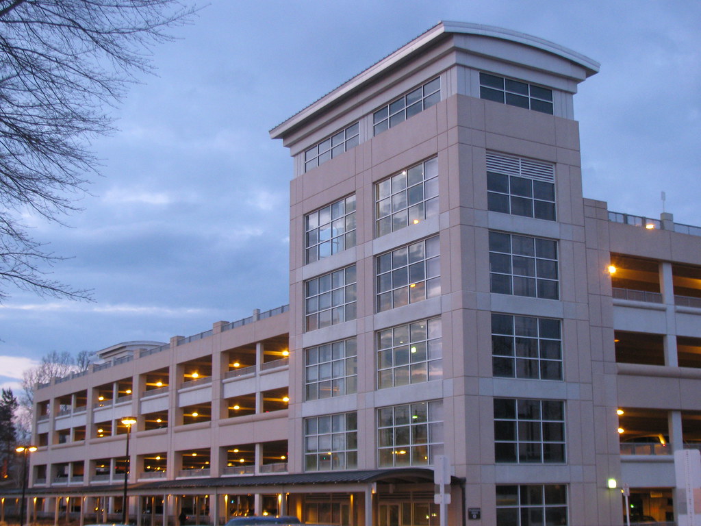
Potomac is an unincorporated community and census-designated place located in Montgomery County, Maryland. The community is named after the nearby Potomac River and had a population of 47,018 people as of the 2020 census. Potomac is known for its affluent neighborhoods, large homes, and high-end shopping and dining options.
Many Potomac residents work in nearby Washington, D.C. and Northern Virginia, making it a popular destination for commuters looking for a suburban lifestyle. The community is also home to a number of parks and recreational facilities, including the C&O Canal National Historical Park, the Great Falls Park, and the Glenstone Museum.
Hagerstown
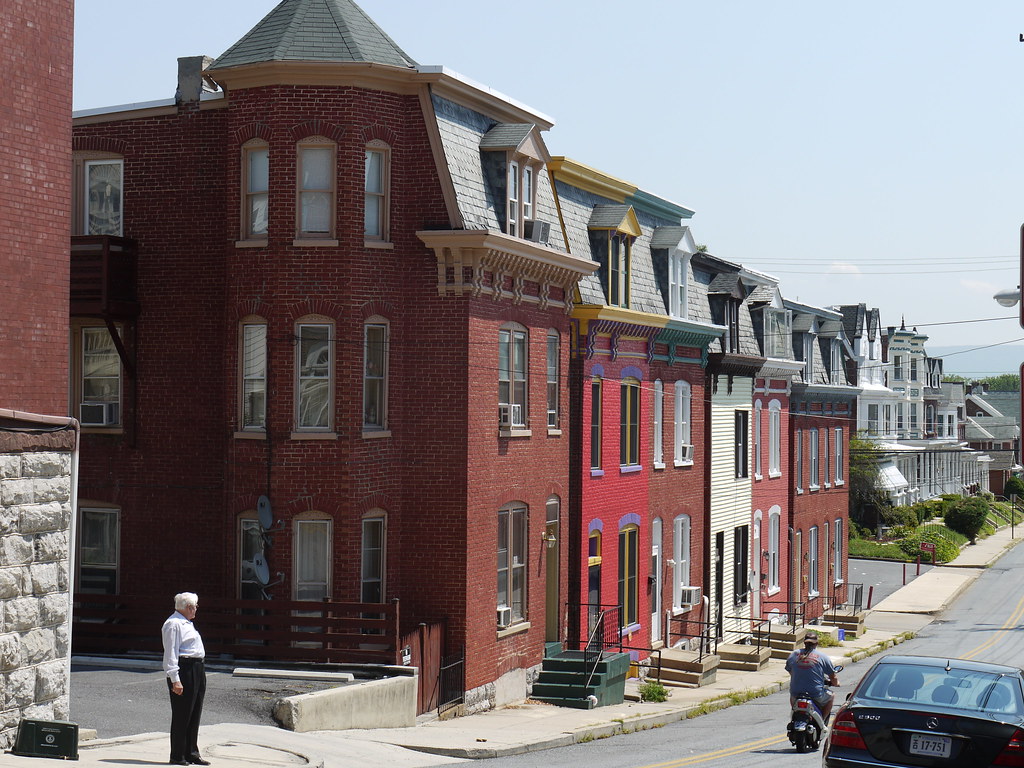
Hagerstown is a city located in and the county seat of Washington County, Maryland, United States. The population of Hagerstown was 43,527 people as of the 2020 census, making it Maryland’s sixth-largest incorporated city and the largest city in the Maryland Panhandle. The city anchors the Hagerstown metropolitan area extending into West Virginia, which had a population of 293,844 people as of the 2020 census.
Hagerstown is located just northwest of the Washington-Baltimore combined statistical area in the heart of the Great Appalachian Valley. The city has a distinct topography, formed by stone ridges running from northeast to southwest through the center of town.
Despite its semi-rural Western Maryland setting, Hagerstown is a center of transit and commerce, with an extensive transportation network that includes Interstates 81 and 70, CSX, Norfolk Southern, and the Winchester and Western railroads, as well as Hagerstown Regional Airport.
Hagerstown is also the chief commercial and industrial hub for a greater Tri-State Area that includes much of Western Maryland, significant portions of South Central Pennsylvania, and the Eastern Panhandle of West Virginia. Hagerstown has often been referred to as, and is nicknamed, the Hub City.
Odenton

Odenton is a census-designated place located in Anne Arundel County, Maryland, United States, approximately 10-20 minutes from the state capital, Annapolis. The population of Odenton was 37,132 people as of the 2010 census, up from 20,534 at the 2000 census. The town’s population growth rate of 80.8% between 2000 and 2010 was the greatest of any town in western Anne Arundel County.
Odenton is centrally located between Annapolis, Baltimore, and Washington, D.C., making it a popular destination for commuters looking for a suburban lifestyle. In recent years, Odenton has become the fastest-growing city in the county, with a 42% growth rate reported in the 2010 census.
This growth can be attributed to its proximity to Fort George G. Meade, which contains NSA headquarters, US Cyber Command, and the Defense Information Systems Agency. Odenton’s growth has also been fueled by the construction of the massive Piney Orchard development, progress in the ongoing development of Odenton Town Center, and the construction of the NSA East Campus Integration Program, which is scheduled for completion in 2028.
With its strong economy, strategic location, and diverse range of amenities, Odenton is a popular destination for residents and visitors looking to experience the best of suburban living in Maryland.
Catonsville

Catonsville is a census-designated place located in Baltimore County, Maryland. The population of Catonsville was 41,567 people as of the 2010 census. The community is situated to the west of Baltimore along the city’s border. Catonsville is home to the majority of the University of Maryland, Baltimore County (UMBC), a major public research university with close to 14,000 students.
The community offers a mix of residential, commercial, and institutional areas, with a number of parks and recreational facilities located throughout the community. Catonsville is known for its historic architecture, including the Catonsville Historic District, which features a number of well-preserved buildings from the late 19th and early 20th centuries.
The community is also home to a number of cultural attractions, including the Benjamin Banneker Historical Park and Museum, which honors the life and legacy of the famous African-American scientist, surveyor, and abolitionist. With its robust economy, convenient array of amenities, and close proximity to Baltimore, Catonsville is a popular spot for residents and visitors.
Woodlawn CDP
Woodlawn is an unincorporated community and census-designated place located in Baltimore County, Maryland. The population of Woodlawn was 39,986 people as of the 2020 census. The community is home to the headquarters of the Social Security Administration (SSA) and the Centers for Medicare and Medicaid Services (CMS), making it a hub for the healthcare and social services industries in the region.
Woodlawn is bordered by Catonsville on the south, by the Patapsco River and Howard County on the west, by Randallstown and Lochearn to the north, and by the City of Baltimore to the east. Parts of Woodlawn are sometimes informally referred to as Security, Maryland, due to the importance of the SSA’s headquarters as well as nearby Security Boulevard (Maryland Route 122) and Security Square Mall.
The community is also home to a number of historic landmarks, including the Lorraine Park Cemetery Gate Lodge and St. Mary’s Episcopal Church, both of which were listed on the National Register of Historic Places in 1985. With its great economy, strategic location, and pleasing amenities, Woodlawn is a marvelous place to visit or reside.
Essex
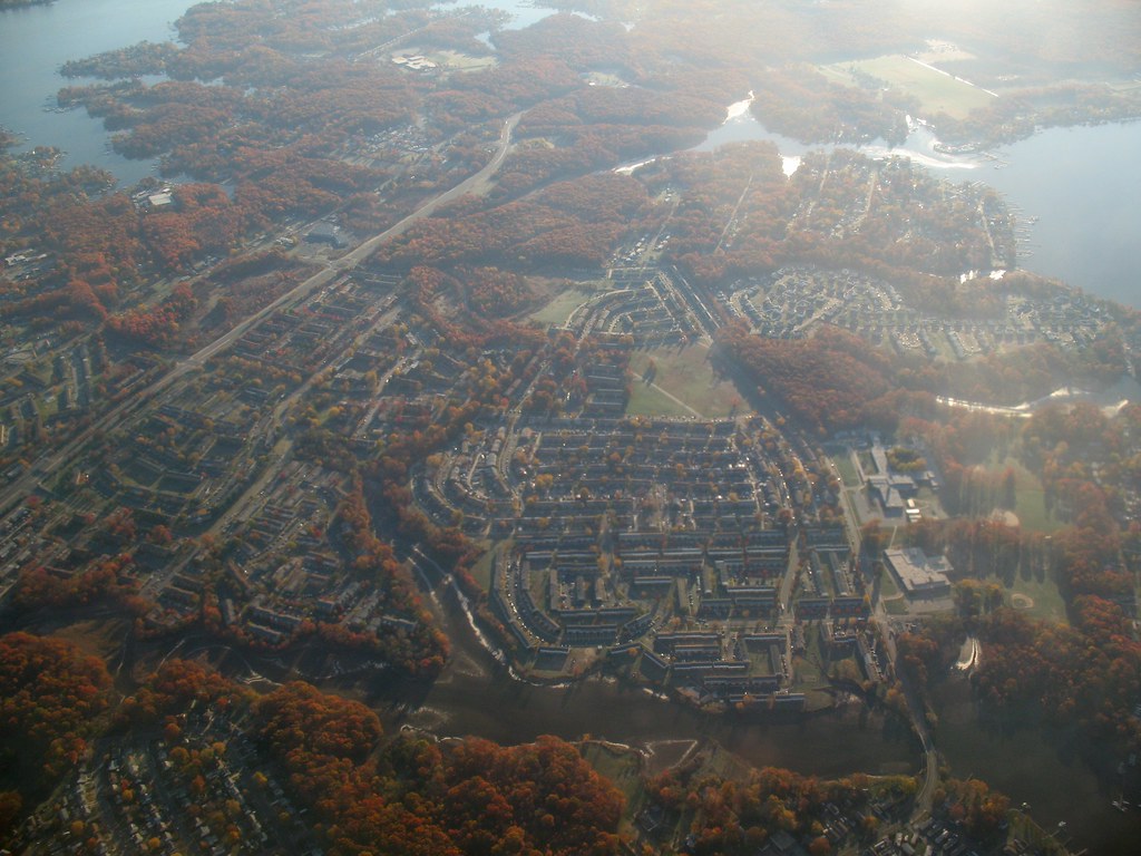
Essex is an unincorporated community and census-designated place located in Baltimore County, Maryland, United States. The community has a long history dating back to 1909 when it was founded as a planned community by the United States Steel Corporation. The population of Essex was 40,505 people as of the 2020 census, up from 39,262 in the 2010 census.
The community offers a mix of residential, commercial, and industrial areas, with a number of parks and recreational facilities located throughout the community. Essex is known for its strong sense of community, with a number of events and festivals held throughout the year to bring residents together.
The community is also home to a number of historic landmarks, including the Eastern Yacht Club, which was founded in 1901 and is one of the oldest yacht clubs in the United States. With its rich history, a diverse range of amenities, and a welcoming sense of community, Essex is a popular suburban location in the area.
Annapolis
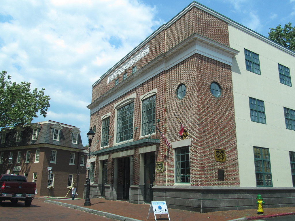
Annapolis is the capital city of the U.S. state of Maryland and the county seat of, and only incorporated city in, Anne Arundel County. The city is situated on the Chesapeake Bay at the mouth of the Severn River, 25 miles (40 km) south of Baltimore and about 30 miles (50 km) east of Washington, D.C. Annapolis forms part of the Baltimore-Washington metropolitan area and is a wonderful destination for tourists and locals alike.
The population of Annapolis was recorded as 40,812 people as of the 2020 census, an increase of 6.3% since 2010. Annapolis has a rich history, having served as the seat of the Confederation Congress and the temporary national capital of the United States in 1783-1784. The city and state capitol was also the site of the 1786 Annapolis Convention, which issued a call to the states to send delegates for the Constitutional Convention to be held the following year in Philadelphia.
Annapolis is also home to a number of prestigious institutions, including St. John’s College, which was founded in 1696, and the United States Naval Academy, which was established in 1845 and is adjacent to the city limits. With its rich history, cultural attractions, and scenic waterfront location, Annapolis is an unmissable local destination.
Clinton
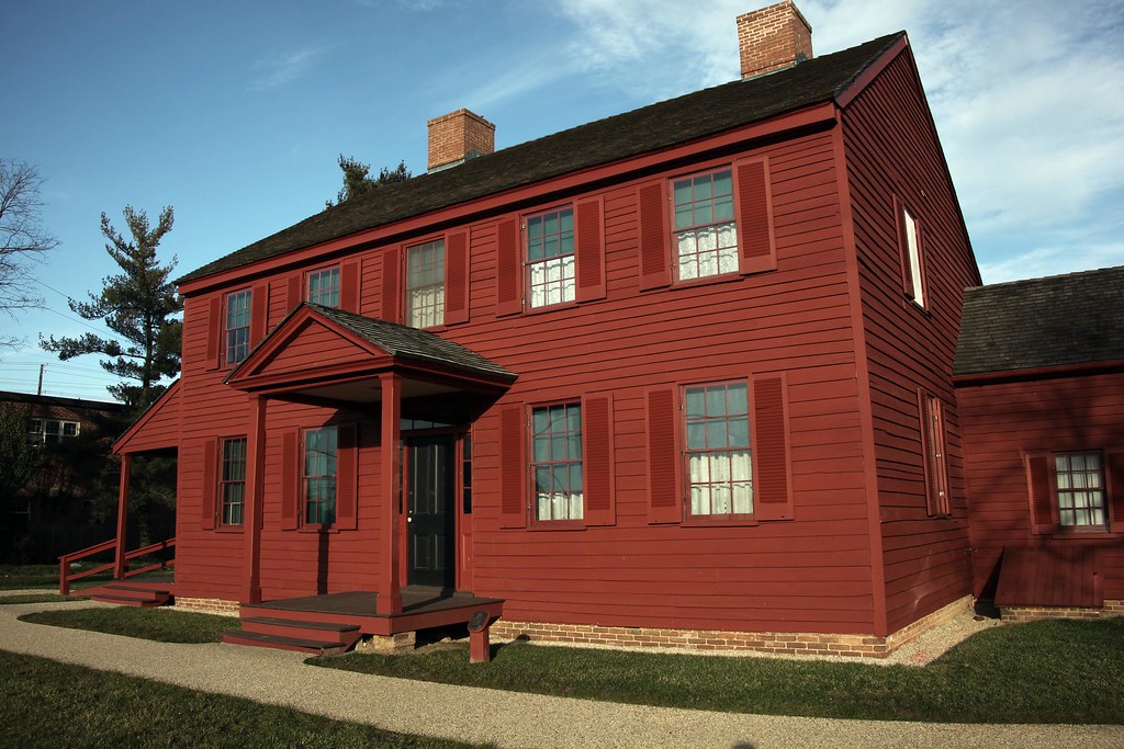
Clinton is an unincorporated census-designated place located in Prince George’s County, Maryland, United States. The community was formerly known as Surrattsville until after the time of the Civil War. The population of Clinton was 38,760 people as of the 2020 census. Clinton is historically known for its role in the American Civil War concerning the Abraham Lincoln assassination.
The community is adjacent to Camp Springs, Rosaryville, Melwood, and Andrews Air Force Base. Clinton offers a mix of residential, commercial, and industrial areas, with a number of parks and recreational facilities located throughout the community.
The community is also home to a number of historic landmarks, including the Surratt House Museum, which was once owned by Mary Surratt, who was convicted and executed for her role in the assassination of President Abraham Lincoln. With its rich heritage, convenient amenities, and great location, Clinton is a satisfying spot for residents and visitors looking to experience the best of suburban living in Maryland.
Severna Park
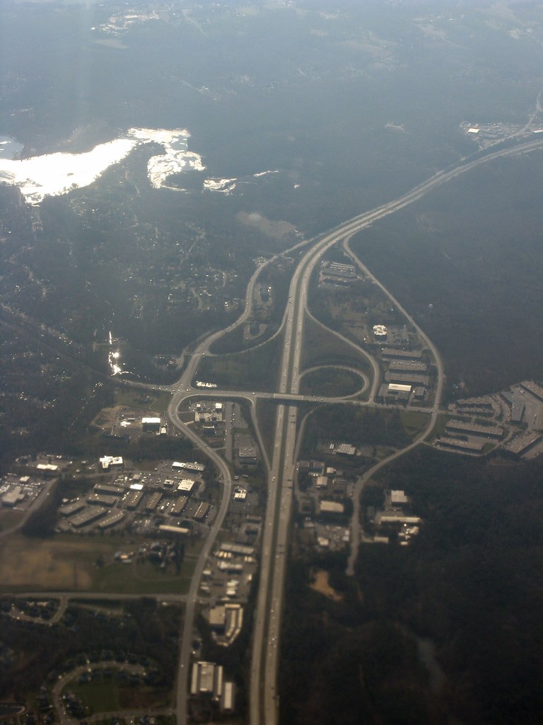
Severna Park is a census-designated place located in Anne Arundel County, Maryland, United States. The community is part of the Baltimore-Washington Metropolitan Area and is situated approximately 8 miles (13 km) north of Annapolis, 17 miles (27 km) south of Baltimore, and 39 miles (63 km) east of Washington, D.C. Severna Park’s population was 39,933 people as of the 2020 census.
The community offers a mix of residential, commercial, and recreational areas, with a number of parks and sports facilities located throughout the community. Severna Park is known for its excellent schools, with Severna Park High School consistently ranking among the top high schools in the state of Maryland.
The community is also home to a number of cultural attractions, including the Severna Park Community Center, which hosts a variety of events and programs throughout the year. With its strong sense of community, excellent schools, and convenient location, Severna Park is a not-to-be-missed destination.
Chillum
Chillum is an unincorporated area and census-designated place located in Prince George’s County, Maryland, United States. The community borders Washington, D.C. and Montgomery County, making it a strategic location for residents and businesses alike. Chillum includes not only its own unincorporated neighborhood, but also the adjacent unincorporated communities of Avondale, Carole Highlands, Green Meadows, and Lewisdale.
The population of the Chillum CDP was 36,039 people as of the 2020 census. The Chillum neighborhood is contained between the Northwest Branch Anacostia River to the east, East-West Highway (MD 410) and the Sligo Creek River to the north, New Hampshire Avenue (MD 650) to the west, and Eastern Avenue NE to the south.
The community borders the adjacent communities of Avondale, Green Meadows, and Carole Highlands in Prince George’s County, as well as the city of Takoma Park in Montgomery County and the Riggs Park, Queens Chapel, and North Michigan Park neighborhoods of Northeast Washington D.C. With its supportive amenities, wonderful location, and community spirit, Chillum is a popular destination for residents and visitors alike.
Olney

Olney is a U.S. census-designated place and unincorporated area located in Montgomery County, Maryland. The community is situated in the north-central part of the county, approximately ten miles (16 km) north of Washington, D.C. Olney was largely agricultural until the 1960s, when the growth of Washington, D.C.’s suburbs led to its conversion into a mostly residential area.
The community has a total population of 35,820 people as of the 2020 United States census. Olney offers a mix of residential, commercial, and recreational areas, with a number of parks and sports facilities located throughout the community.
The community is also home to a number of cultural attractions, including the Olney Theatre Center, which hosts a variety of performances and events throughout the year. Olney is a fulfilling area for residents and visitors looking to experience the best of suburban life in Maryland.
Highways
Route 1
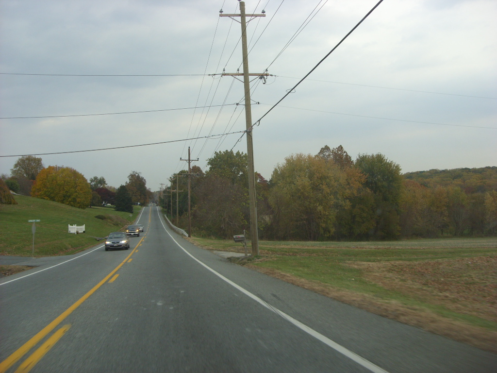
U.S. Route 1 (US 1) is a major north-south route that runs from Key West, Florida, to Fort Kent, Maine, and is the easternmost and longest of the major routes of the older 1920s-era United States Numbered Highway System. In the state of Maryland, US 1 runs 81 miles (130 km) from the Washington D.C. line to the Pennsylvania state line near the town of Rising Sun.
While US 1 is paralleled by several major highways as it passes through Maryland, including Interstate 95 (I-95), the Baltimore-Washington Parkway (B-W Parkway), US 29, and US 301, it remains a major route in the individual towns it traverses, and often experiences congestion. Despite its loss of significance as a long-distance route through the state, US 1 continues to serve as an important transportation artery in Maryland.
Route 13

U.S. Route 13 (US 13) is a United States Numbered Highway that runs from Fayetteville, North Carolina, north to Morrisville, Pennsylvania. In Maryland, the route covers a distance of 42.48 miles (68.36 km), stretching from the Virginia border south of Pocomoke City in Worcester County north to the Delaware border in Delmar, Wicomico County.
The majority of the route within Maryland is a four-lane divided highway that passes through rural areas of woodland and farmland, as well as a few municipalities including Pocomoke City and Princess Anne. US 13 shares a concurrency with US 50 along a portion of the Salisbury Bypass, which is a freeway bypassing Fruitland and Salisbury to the east.
The route intersects many major roads including US 113, MD 413, and MD 12. US 13 was designated through Maryland in 1926 as part of the Ocean Highway that connected New York City to Florida. Over the years, the route has undergone many realignments and widening projects, most notably the construction of the Salisbury Bypass in 1981.
Route 15
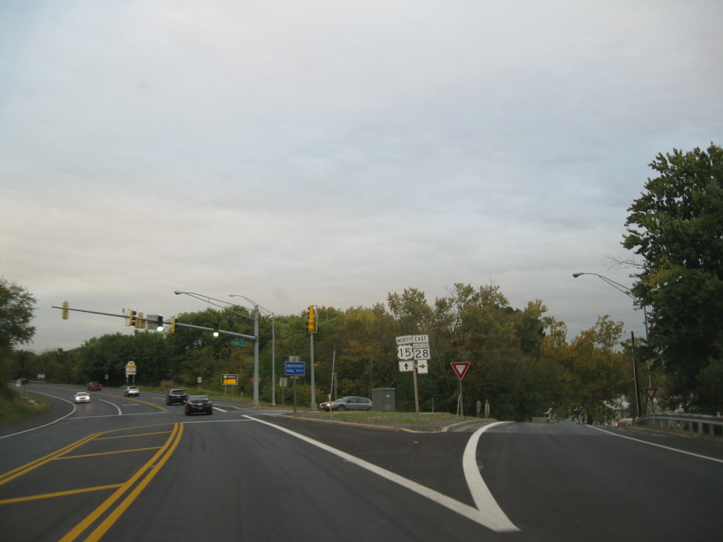
U.S. Route 15 (US 15) is a part of the United States Numbered Highway System that runs from Walterboro, South Carolina, north to Painted Post, New York. In Maryland, the highway covers a distance of 37.85 miles (60.91 km), extending from the Virginia state line at the Potomac River in Point of Rocks north to the Pennsylvania state line near Emmitsburg.
Known as Catoctin Mountain Highway, US 15 is the primary north-south highway of Frederick County, connecting the county seat of Frederick with several other towns and cities in the region. The highway is a four-lane divided highway throughout the state except for the portion between the Point of Rocks Bridge and the highway’s junction with US 340 near Jefferson.
US 15 is a freeway along its concurrency with US 340 and through Frederick, where the highway meets US 40 and Interstate 70 (I-70). The highway has a business route through Emmitsburg. US 15 has undergone many realignments and reconstruction projects over the years, including the construction of the Frederick Freeway in the 1950s and the upgrading of the highway to a divided highway north of Frederick in the early 1980s.
Route 29
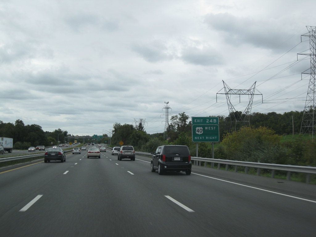
U.S. Route 29 (US 29) is a north-south United States highway that runs for 1,036 miles (1,667 km) from the western suburbs of Baltimore, Maryland, to Pensacola, Florida. In Maryland, US 29 is a major highway that emerges from Washington, D.C. and runs north into eastern Montgomery County, stretching over 25.859 miles (41.62 km) through the state and terminating at Maryland Route 99 (MD 99) outside of Ellicott City.
The highway serves the cities of Columbia and Ellicott City and provides the westernmost north-south route between Washington, D.C., and Baltimore. US 29 in Maryland was added to the United States Numbered Highway System in 1926, beginning along a corridor once known as MD 27.
Since then, the highway has undergone many realignments and upgrades, including the addition of freeway and expressway sections. Today, US 29 remains a vital transportation artery in Maryland, connecting major cities and communities in the region.
Route 40
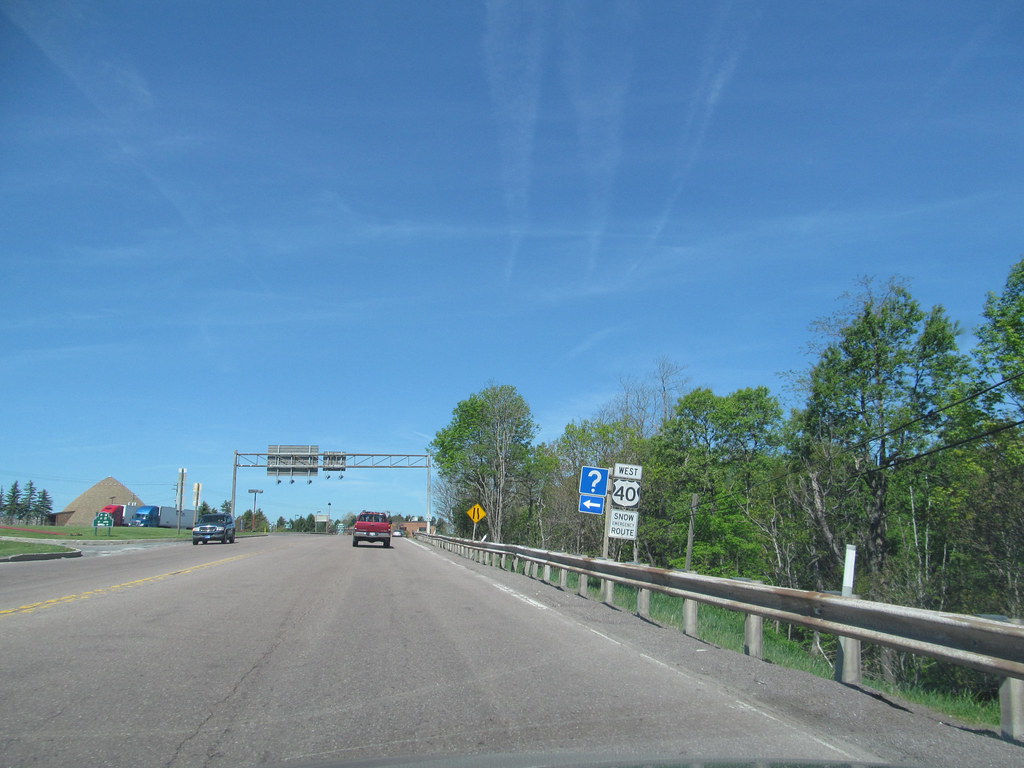
U.S. Route 40 (US 40) is the longest-numbered highway in Maryland, stretching 221 miles (356 km) from Garrett County in Western Maryland to Cecil County in the state’s northeastern corner. Almost half of the road overlaps or parallels Interstate 68 (I-68) or I-70, while the old alignment is generally known as US 40 Alternate, US 40 Scenic, or Maryland Route 144 (MD 144).
US 40 passes through the Piedmont and Appalachian Mountains/Blue Ridge region of the Western Maryland panhandle, where the portions that do not overlap an interstate highway are mostly two-lane roads. The section northeast of Baltimore towards Wilmington in northern Delaware and Philadelphia in southeastern Pennsylvania is a four-lane divided highway, known as the Pulaski Highway, and crosses the Susquehanna River at the north end of the Chesapeake Bay on the Thomas J. Hatem Memorial Bridge.
US 40 is the successor to the historic route of the National Road, the first Federal interstate road built in the early 19th century that eventually ran from Baltimore west through Ohio, Indiana, and Illinois to Vandalia, then the territorial capital of the Illinois Territory near the Mississippi River. The route from Baltimore northeast to the Delaware state line follows another historic East Coast/Northeast Corridor routing towards Philadelphia, New York City, and Boston, including the old Baltimore and Havre-de-Grace Turnpike.
Route 50
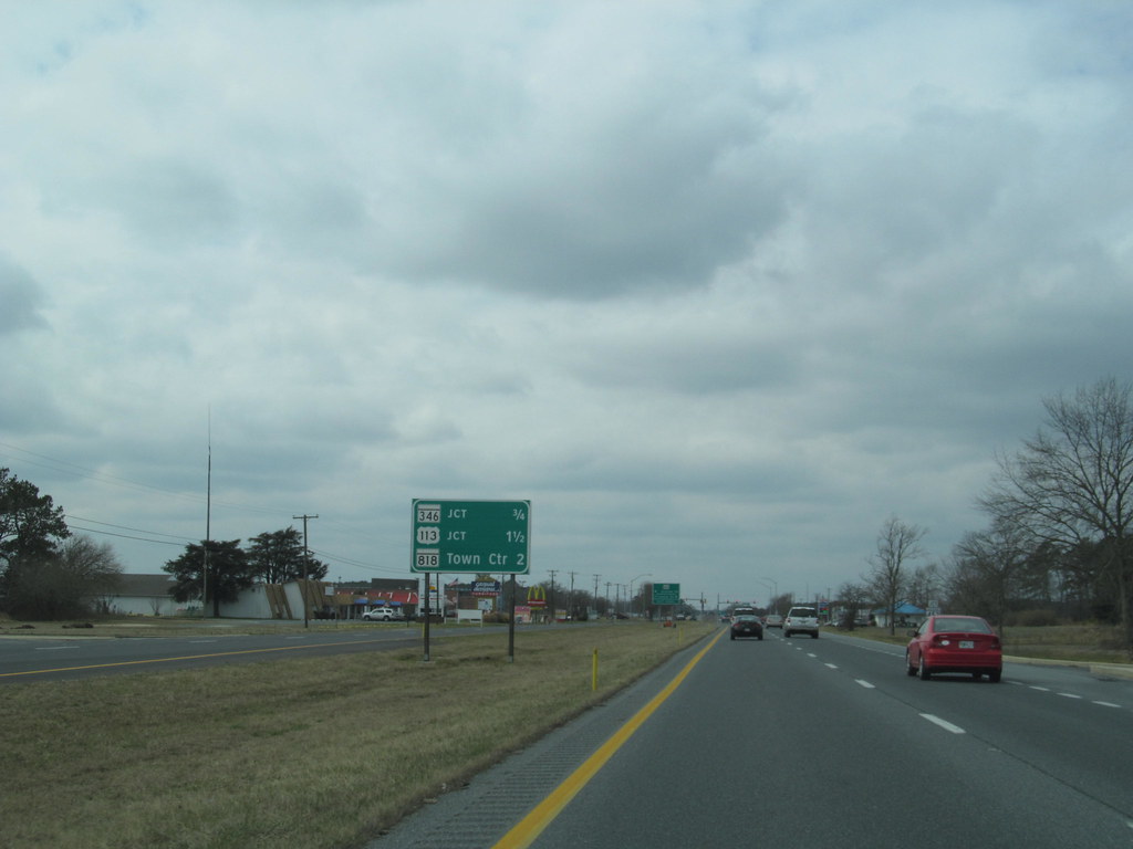
U.S. Route 50 (US 50) is a major east-west route of the U.S. Highway system, stretching just over 3,000 miles (4,800 km) from West Sacramento, California, east to Ocean City, Maryland, on the Atlantic Ocean. In Maryland, US 50 exists in two sections, with the longer serving as a major route connecting Washington, D.C., with Ocean City, the eastern terminus of the highway.
The other section passes through the southern end of Garrett County for less than 10 miles (16 km) as part of the Northwestern Turnpike, entering West Virginia at both ends. One notable section of US 50 is the dual-span Chesapeake Bay Bridge across the Chesapeake Bay, which links the Baltimore-Washington metropolitan area with the Eastern Shore region, allowing motorists to reach Ocean City and the Delaware Beaches.
US 50 has undergone numerous upgrades in Maryland, including the construction of the John Hanson Highway and its extension onto the Eastern Shore, the replacement of US 213 due to the construction of the Chesapeake Bay Bridge, and the full conversion of the eastern segment of the route into a four-lane divided highway.
Many of the older alignments of US 50 are still part of the Maryland and US highway systems, such as US 50 Business (US 50 Bus.) in Salisbury. The highway continues to be upgraded on the Eastern Shore to improve safety and traffic flow.
Route 113

U.S. Route 113 (US 113) is a U.S. Highway that is a spur of US 13 in the U.S. states of Maryland and Delaware. The highway runs for 74.75 miles (120.30 km) from US 13 in Pocomoke City, Maryland, north to Delaware Route 1 (DE 1) in Milford, Delaware. Along with DE 1, US 113 is one of two major north-south highways on the Delmarva Peninsula that connect Dover with Pocomoke City and the Eastern Shore of Virginia.
In Maryland, US 113 is the primary north-south highway in Worcester County, connecting Pocomoke City with Snow Hill and Berlin. In Delaware, US 113 is one of three major north-south highways in Sussex County, connecting Selbyville, Millsboro, and Georgetown with Milford.
While US 113 does not pass through Ocean City or the Delaware Beaches, it intersects several highways that serve the Atlantic seaboard resorts, including US 50, Maryland Route 90 (MD 90), US 9, DE 404, DE 16, and DE 1. The highway is a four-lane divided highway for its entire length, providing a safe and efficient route for motorists traveling through the region.
Route 301
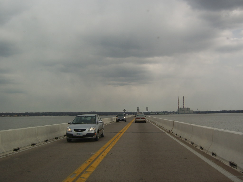
U.S. Route 301 (US 301) is a major highway in Maryland that runs for 122.85 miles (197.71 km) from the Governor Harry W. Nice Memorial Bridge over the Potomac River into Virginia, northeast to Delaware. The highway passes through three of Maryland’s four main regions: Southern Maryland, the Baltimore-Washington Metropolitan Area, and the Eastern Shore.
US 301 serves mainly as a bypass of Baltimore and Washington, D.C. from Virginia to Delaware, providing an alternative route for motorists traveling through the region. The highway is a vital transportation artery for the state of Maryland, connecting major cities and communities and facilitating commerce and trade. With its strategic location and efficient design, US 301 plays a crucial role in the economic development and growth of the region.
Route 340

U.S. Route 340 (US 340) is a spur route of US 40 that runs from Greenville, Virginia, to Frederick, Maryland. In Virginia, it runs north-south, parallel, and east of US 11, connecting major communities such as Waynesboro, Grottoes, Elkton, Luray, Front Royal, and Berryville. In West Virginia, it runs north-south in Jefferson County, between Clarke County, Virginia and Loudoun County, Virginia, serving as the main route between Charles Town and Harpers Ferry.
In Maryland, US 340 runs east-west for 17.01 miles (27.37 km) from the Virginia state line at the Potomac River at Sandy Hook east to its northern (eastern) terminus at US 15 and US 40 (the Frederick Freeway) in Frederick. The highway, known as Jefferson National Pike for most of its length, connects Frederick with the communities of Jefferson, Brunswick, and Knoxville in the southern part of the Middletown Valley of western Frederick County and Weverton in far southern Washington County.
US 340 is a part of the National Highway System for its entire length in Maryland and was one of the original state roads designated by the Maryland State Roads Commission. With its strategic location and efficient design, US 340 plays a crucial role in connecting major cities and communities in the region and facilitating commerce and trade.
Interstates
Interstate 81
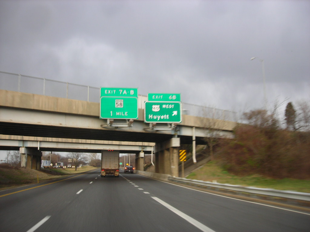
Interstate 81 (I-81) is a part of the Interstate Highway System that runs from Dandridge, Tennessee, to Fishers Landing, New York. In Maryland, the Interstate Highway runs for 12.08 miles (19.44 km) from the West Virginia state line at the Potomac River in Williamsport north to the Pennsylvania state line near Maugansville.
I-81 is the primary north-south Interstate Highway in Washington County, connecting Hagerstown with Chambersburg and Harrisburg to the north and Martinsburg, Winchester, and Roanoke to the south. The Hagerstown Bypass, which I-81 follows, was constructed in the mid-1950s to relieve congestion on the contemporary main highway through the Hagerstown Valley, U.S. Route 11 (US 11).
I-81 was assigned to the new freeway in 1959, and the southern section of the freeway from the Potomac River to US 40 was completed in 1966. While I-81 has undergone some interchange improvements, it has changed very little from the four-lane freeway of the 1960s.
Long-range plans call for widening I-81 to six lanes and effecting further interchange improvements along what is a major commuting and trucking corridor. With its strategic location and efficient design, I-81 plays a crucial role in connecting major cities and communities in the region and facilitating commerce and trade.
Interstate 83
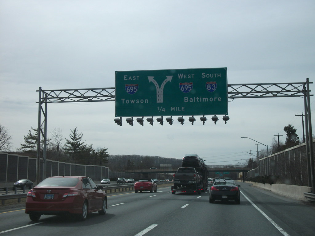
The Jones Falls Expressway (JFX) is a 10.2-mile-long (16.4 km) freeway that carries I-83 from Downtown Baltimore to the northern suburbs. It is the area’s true north-south artery, as I-95 runs mostly east-west through the city. Its southern terminus is at Fayette Street, and its northern terminus is at Maryland Route 25 (MD 25), just north of the Baltimore Beltway (I-695).
Inside Baltimore, the road is maintained by the city’s Department of Transportation. The freeway begins at an at-grade four-way intersection between the JFX, Fayette Street, and President Street, located in close proximity to the Phoenix Shot Tower. Passing beneath the Orleans Street Viaduct (US 40), the JFX runs north, passing near the Washington Monument. Between exits 3 and 4, there is a 90-degree turn that sometimes requires motorists to slow down just before entering it, with an advisory speed posted at 40 mph (64 km/h).
After interchanging with Cold Spring Lane and Northern Parkway, the JFX exits Baltimore, entering Baltimore County. At the beltway, I-83 leaves the JFX and joins I-695 for a distance of 1.4 miles (2.3 km), where it separates from the latter route to continue onward into northern Maryland. With its strategic location and efficient design, I-83 plays a crucial role in connecting major cities and communities in the region and facilitating commerce and trade.
Interstate 95

Interstate 95 (I-95) is a major highway running along the East Coast of the United States from Miami, Florida, north to the Canada–United States border at Houlton, Maine. In Maryland, the route covers 110.01 miles (177.04 km) diagonally from southwest to northeast, entering from the District of Columbia and Virginia at the Woodrow Wilson Bridge over the Potomac River, northeast to Maryland’s border with Delaware near Elkton.
It is the longest Interstate Highway in Maryland and is one of the most traveled Interstate Highways in the state, connecting major cities and communities in the region and facilitating commerce and trade. Despite alternate routes along the corridor, such as the Baltimore–Washington Parkway, U.S. Route 1 (US 1), and US 29, I-95 remains the primary route of choice for many commuters and travelers.
The highway also has eight auxiliary routes in the state, the most of any state along the I-95 corridor. Portions of the highway, including the Fort McHenry Tunnel and the Millard E. Tydings Memorial Bridge, are tolled. With ongoing improvements and expansions, I-95 will continue to play a vital role in Maryland’s transportation infrastructure for years to come.
Interstate 97
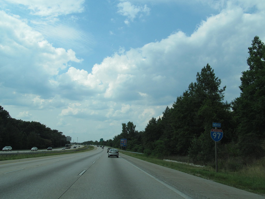
Interstate 97 (I-97) is a crucial north-south Interstate Highway that runs entirely within Anne Arundel County, Maryland, for 17.62 miles (28.36 km) from U.S. Route 50/U.S. Route 301 (US 50/US 301) in Parole near Annapolis north to I-695 and I-895 in Brooklyn Park near Baltimore.
The highway serves as the primary connection between Baltimore and Annapolis and connects northern Anne Arundel County communities such as Crownsville, Millersville, Severna Park, Glen Burnie, and Ferndale. I-97 was constructed along the corridor of Maryland Route 3 (MD 3) between Millersville and Ferndale and MD 178 between Parole and Millersville.
The highway closely follows the former course of MD 3, which was built in the late 1910s and early 1920s and expanded to a divided highway in the late 1950s. The Interstate was introduced in 1979 after the state of Maryland successfully obtained Interstate mileage for a Baltimore–Annapolis freeway from the federal government. With its efficient design and strategic location, I-97 plays a vital role in Maryland’s transportation infrastructure, facilitating commerce and trade and connecting communities across the state.
Interstate 68

Interstate 68 (I-68) runs through the rugged terrain of western Maryland, crossing Garrett County and the Allegheny Mountains. After entering Garrett County, the highway continues through rural areas, crossing the northern part of the county. The terrain through this area consists of ridges that extend from southwest to northeast, with I-68 crossing the ridges through its east–west run.
The first exit in Maryland is at MD 42 in Friendsville. I-68 ascends Keysers Ridge, where it meets US 40 and US 219, both of which join the highway at Keysers Ridge. The highway crosses Negro Mountain, the highest point along the historic National Road that the freeway parallels east of Keysers Ridge.
This is the source of the name of the freeway in Maryland: the National Freeway. I-68 continues eastward, crossing the Eastern Continental Divide and Savage Mountain before entering Allegany County. With its challenging terrain and stunning scenery, I-68 is a popular route for travelers seeking an adventurous journey through western Maryland.
Interstate 70
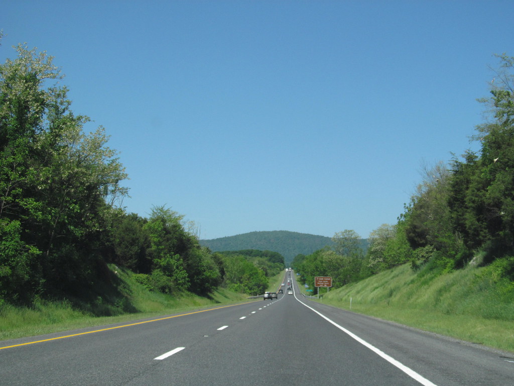
Interstate 70 (I-70) is a vital part of the Interstate Highway System that runs from Cove Fort, Utah, to Baltimore, Maryland. In Maryland, the highway covers 93.62 miles (150.67 km) from the Pennsylvania state line in Hancock east to its eastern terminus near its junction with I-695 at a park and ride in Baltimore.
I-70 serves as the primary east–west Interstate in Maryland, connecting Baltimore and Washington, D.C., via I-270, with Western Maryland. The highway directly serves Frederick and Hagerstown and provides access to Cumberland via its junction with I-68 at Hancock. I-70 runs concurrently with its predecessor highway, U.S. Route 40 (US 40), from Hancock to Indian Springs in Washington County and from Frederick to West Friendship in Howard County.
The highway’s route from Frederick to West Friendship was constructed as a divided highway relocation of US 40 in the early to mid-1950s and a freeway bypass of Frederick in the late 1950s. With its strategic location and efficient design, I-70 plays a crucial role in Maryland’s transportation infrastructure, facilitating commerce and trade and connecting communities across the state.

