Beneath the shadow of historic landmarks and amid the urban bustle, Maryland unfolds a narrative not only in its cobblestone streets but also in the meandering courses of its rivers and the tranquil expanses of its lakes. The Old Line State, celebrated for its colonial history and maritime legacy, cradles a hidden treasure – an intricate network of waterways that mirror the journey of time itself.
Like the whispers of time-honored tales, Maryland’s rivers and lakes carry stories of exploration, industry, and the enduring spirit of its residents. In this article, we embark on a journey that navigates the currents of Maryland’s rivers and reflects upon the stillness of its lakes.
Join us as we delve into the significance of these aqueous chapters, uncovering their role in shaping the state’s identity, culture, and commerce, and unveiling the profound connection that water has fostered between land and people in the Old Line State.
Printable Maryland Lakes and Rivers Map
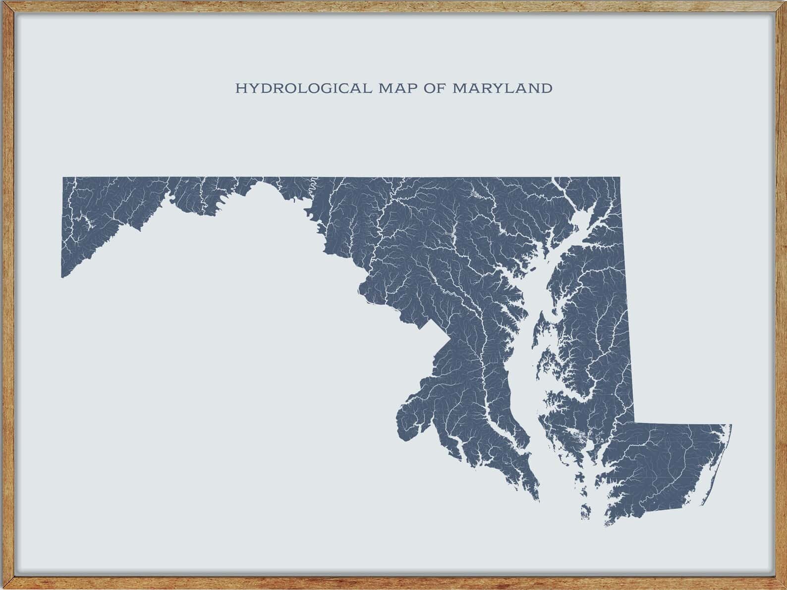
Rivers
Potomac River
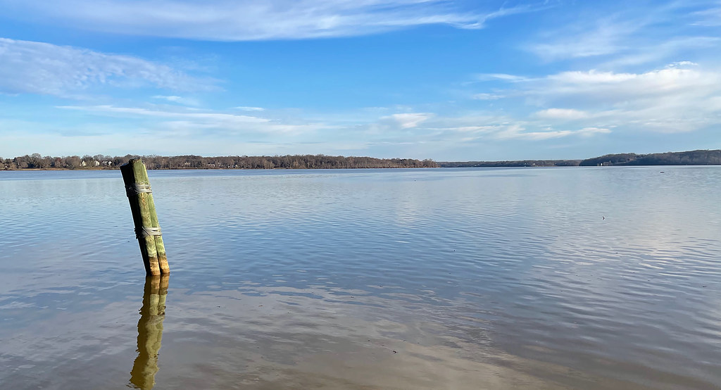
The Potomac River is a major river in the Mid-Atlantic region of the United States, flowing from the Potomac Highlands in West Virginia to the Chesapeake Bay in Maryland. It is the fourth-largest river along the East Coast of the United States and the 21st-largest in the United States, with a drainage area of 14,700 square miles and over 5 million people living within its watershed.
The river forms part of the borders between Maryland and Washington, D.C., on the left descending bank, and West Virginia and Virginia on the right descending bank, and is considered part of Maryland to the low-water mark on the opposite bank, except for a small portion of its headwaters in West Virginia.
Susquehanna River
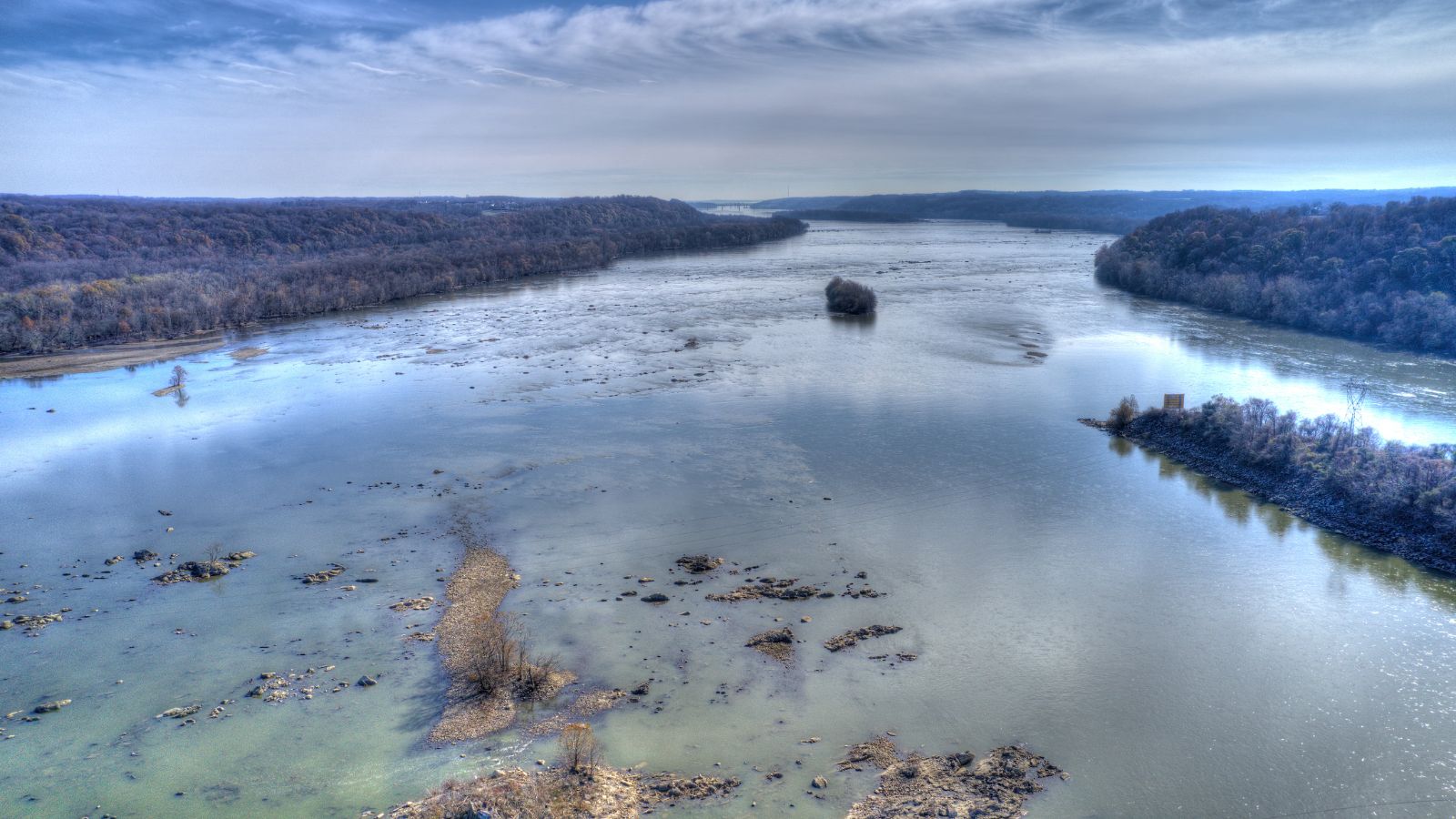
The Susquehanna River is a major river located in the Mid-Atlantic region of the United States, stretching 444 miles long and draining 27,500 square miles, including nearly half of the land area of Pennsylvania.
The river forms from two main branches, the North Branch and the West Branch, and is the longest river on the East Coast of the United States, and the longest river in the early 21st-century continental United States without commercial boat traffic. The river empties into the northern end of the Chesapeake Bay at Perryville and Havre de Grace, Maryland, providing half of the Bay’s freshwater inflow, and lies in the flooded valley of the Susquehanna.
Patuxent River
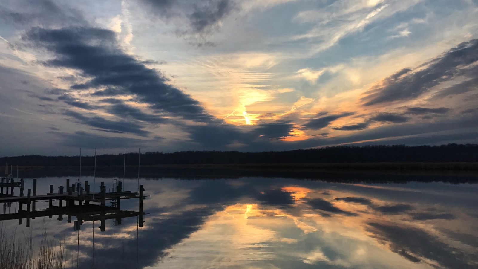
The Patuxent River is the largest and longest river entirely within Maryland, and its watershed is the largest completely within the state. The river source is in the hills of the Maryland Piedmont near the intersection of four counties – Howard, Frederick, Montgomery, and Carroll, and flows in a generally southeastward direction, crossing the urbanized corridor between Baltimore and Washington, D.C.
The mid and lower banks of the river have swamp and marshland ecosystems, many of which are protected by some form of parkland, on the state and local levels, including the Jug Bay Wetlands Sanctuary, Merkle Wetlands Sanctuary, Patuxent River Park, and the Patuxent Research Refuge.
Pocomoke River
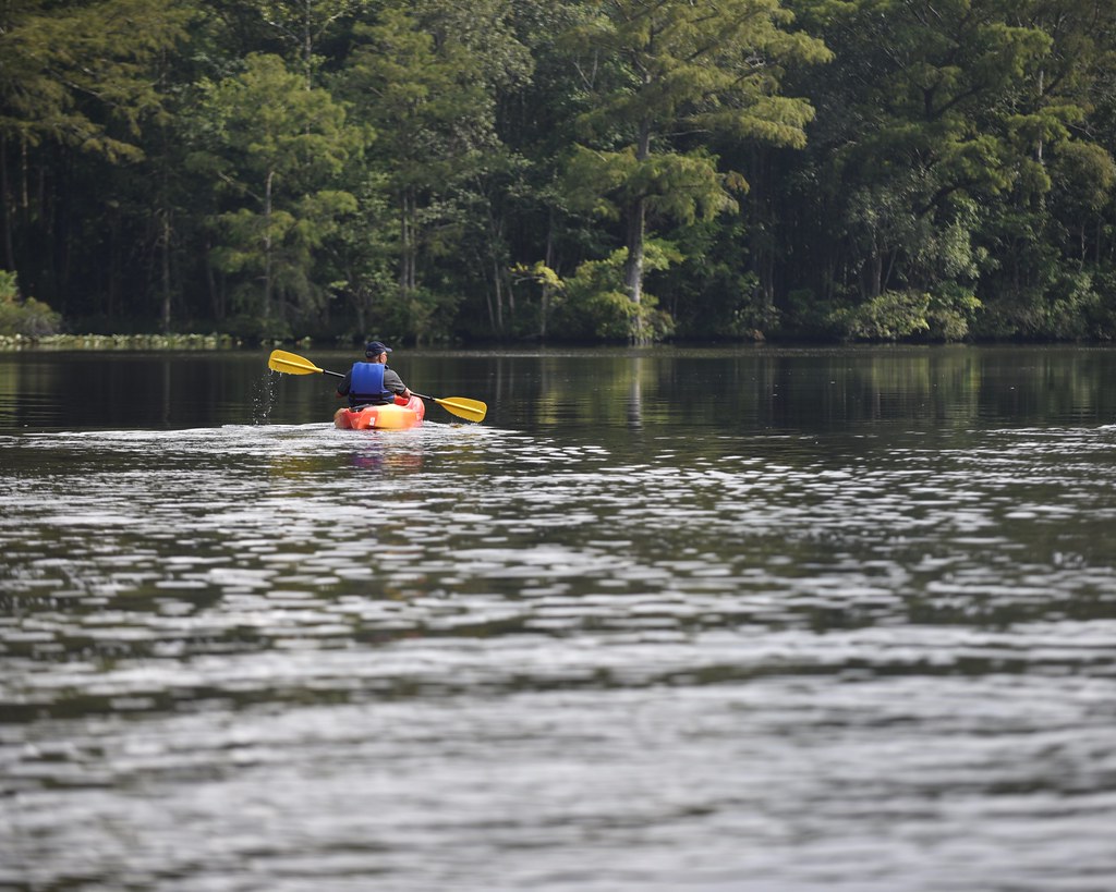
The Pocomoke River is an approximately 66-mile-long river that stretches from southern Delaware through southeastern Maryland in the United States. At its mouth, the river is essentially an arm of Chesapeake Bay, while the upper river flows through a series of relatively inaccessible wetlands called the Great Cypress Swamp, largely populated by Loblolly Pine, Red Maple, and Bald Cypress.
The river is the easternmost river that flows into the Chesapeake Bay, and its name “Pocomoke” is agreed by scholars of the Algonquian languages to be derived from the words for “broken (or pierced) ground,” rather than “dark (or black) water” as traditionally interpreted by local residents.
Choptank River
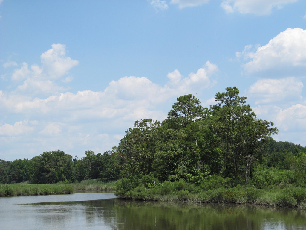
The Choptank River is the largest river on the Delmarva Peninsula and a major tributary of the Chesapeake Bay, running for 71 miles through Delaware and Maryland. Its watershed area in Maryland is 1,004 square miles, of which 224 square miles is open water, and the predominant land use is agricultural.
The river is named after the native Choptank people and forms much of the border between Talbot County, Maryland, on the north and Caroline County and Dorchester County on the east and south, with Cambridge and Denton located on its south shore.
Nanticoke River
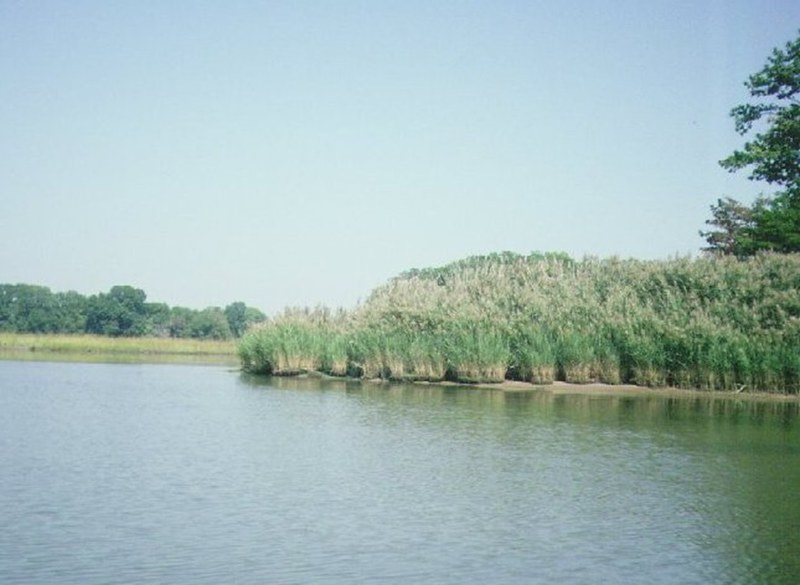
The Nanticoke River is a 64.3-mile-long tributary of the Chesapeake Bay on the Delmarva Peninsula, rising in southern Kent County, Delaware, flowing through Sussex County, Delaware, and forming the boundary between Dorchester County, Maryland, and Wicomico County, Maryland.
The river has a 26-mile ecotourism water trail running along it that was set aside in July 2011 by Delaware state and federal officials, contiguous with a 37-mile water trail extending through Maryland to the Chesapeake Bay. The river was dredged in 1990 and 2013 to facilitate shipping travel along the course, and notable towns and communities situated along the river include Nanticoke, Bivalve, Vienna, Sharptown in Maryland, and Seaford, Delaware.
Monocacy River

The Monocacy River is the largest Maryland tributary to the Potomac, a free-flowing left tributary that empties into the Atlantic Ocean via the Chesapeake Bay. The river is 58.5 miles long, with a drainage area of about 970 square miles, and rises in Carroll County, Maryland, west of the unincorporated town of Harney at the Maryland-Pennsylvania border.
The Monocacy National Battlefield lies alongside part of the river, and the Chesapeake and Ohio Canal crosses over the river at the Monocacy Aqueduct, the largest of the 11 aqueducts on the canal.
Wicomico River
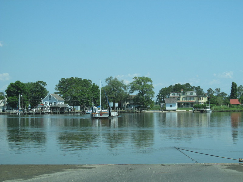
The Wicomico River is a 24.4-mile-long tributary of the Chesapeake Bay on the eastern shore of Maryland, rising in northern Wicomico County, close to the Delaware state line, and flowing generally southwest, through Salisbury, with its head of navigation at Monie Bay on the eastern edge of the Chesapeake Bay.
The river is a popular destination for recreational activities such as canoeing, kayaking, fishing, crabbing, wakeboarding, and water skiing, and Salisbury has become the primary shipping point for goods on the Delmarva Peninsula due to barge traffic on the river.
The Wicomico Creekwatchers, a civic group, have been testing water quality at 22 different points along the river since 2002, and their 2016 report showed that the water quality decreased compared to 2015, with higher levels of phosphorus, nitrogen, and bacteria.
Chester River

The Chester River is a major tributary of the Chesapeake Bay on the Delmarva Peninsula, about 43 miles long, with a watershed encompassing 368 sq mi, which includes 295 sq mi of land. The river forms the border between Kent County and Queen Anne’s County, Maryland, with its headwaters extending into New Castle County and Kent County, Delaware, and Chestertown, the seat of Maryland’s Kent County, is located on its north shore.
The Chester River begins at Millington, Maryland, where Cypress Branch and Andover Branch join together, and it ends at the Chesapeake Bay in a very wide mouth between Love Point on Kent Island and Swan Point near Gratitude, Maryland.
Patapsco River

The Patapsco River is a 39-mile-long river in central Maryland that flows into the Chesapeake Bay, with its tidal portion forming the harbor for the city of Baltimore and its South Branch forming the northern border of Howard County, Maryland. The name “Patapsco” is derived from the Algonquian pota-psk-ut, which translates to “backwater” or “tide covered with froth.”
The river is a popular recreational spot for activities such as swimming, rope swings, inner tubing, wading, rafting, and fishing, with parts of Patapsco State Park stocked in the early spring by MD DNR, offering some pretty decent trout fishing, and the Northern Snakehead making the Patapsco their home, providing great fighting gamefish and delicious food.
Elk River
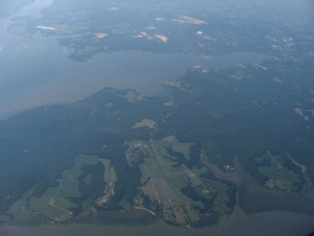
The Elk River is a 15-mile-long tidal tributary of the Chesapeake Bay on the Eastern Shore of Maryland and on the northern edge of the Delmarva Peninsula. It has served as one entrance to the Chesapeake & Delaware Canal since the 19th century and flows through Cecil County, Maryland, with its watershed extending into New Castle County, Delaware, and Chester County, Pennsylvania.
The river begins at the confluence of Big Elk Creek and Little Elk Creek in Elkton and ends at the Chesapeake Bay at a 1.4-mile-wide mouth between Turkey Point on Elk Neck and West View Shores/Sunset Point. The river is a popular recreational spot, with its total watershed area being 143 square miles, including the Bohemia River, and 21 square miles of open water, making its watershed 15% open water.
Youghiogheny River Lake
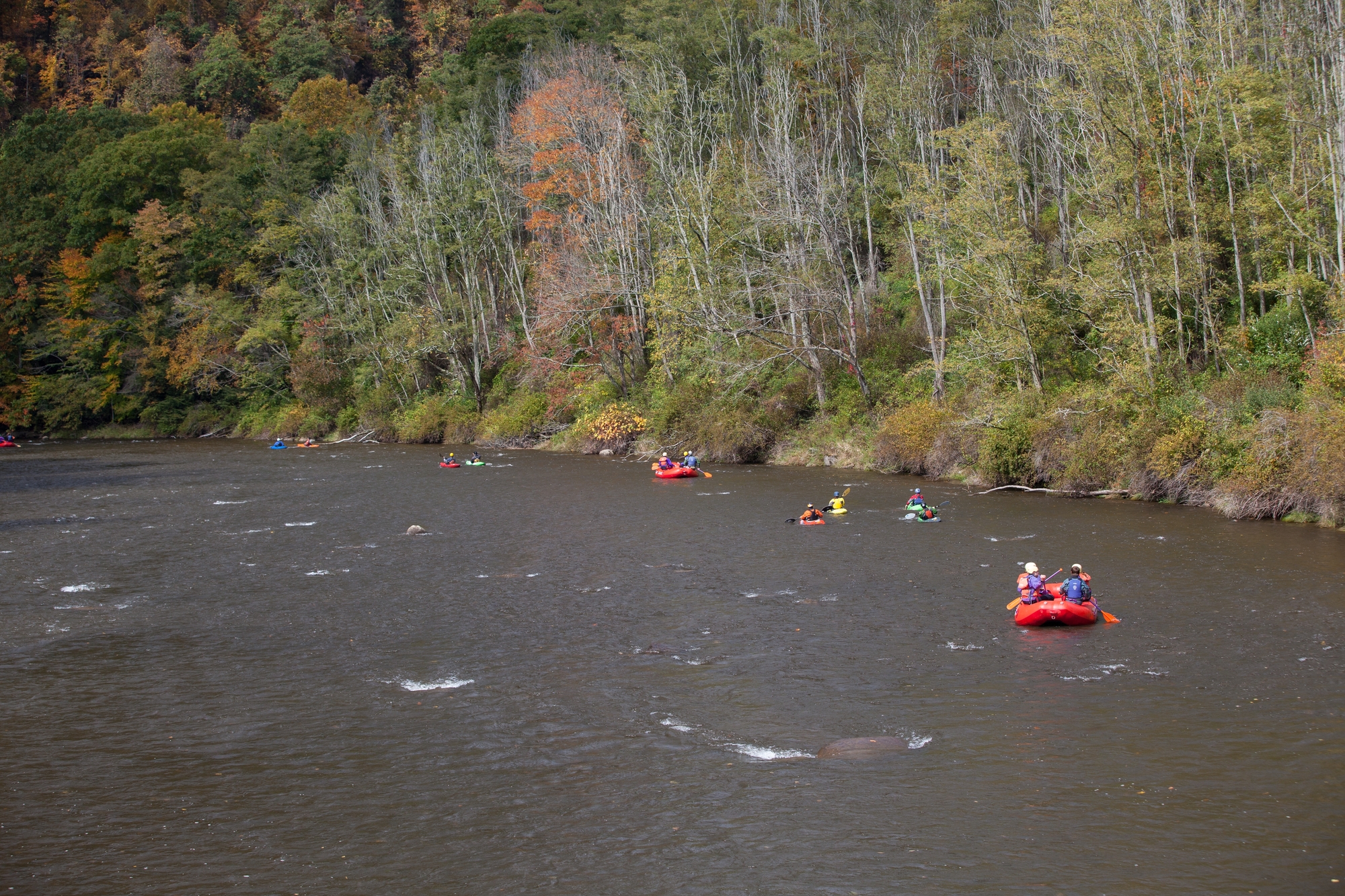
Youghiogheny River Lake is a flood control reservoir located in southwestern Pennsylvania and western Maryland. The lake was formed in 1944 by the damming of the Youghiogheny River upstream from Confluence, Pennsylvania, and is owned and operated by the United States Army Corps of Engineers.
The reservoir’s normal surface area is approximately 4.4 square miles, and it has a maximum capacity of 300,000 acre-feet, facilitating flood control, improving river flow, and providing twelve megawatts of hydroelectric power. The stone Great Crossings Bridge of the National Road, which crossed the Youghiogheny at Somerfield, is visible at extremely low water levels, and U.S. Route 40 crosses the lake between Jockey Hollow on the Fayette County side and Somerfield on the Somerset County side.
Lakes
Deep Creek Lake
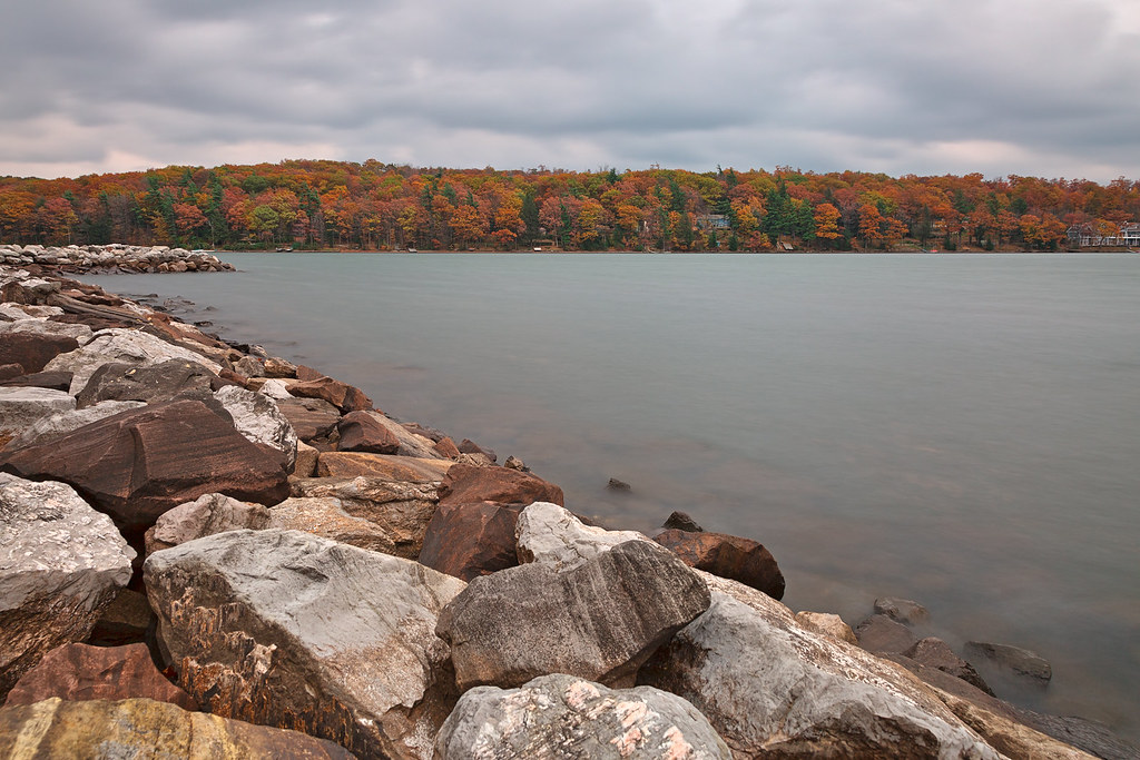
Deep Creek Lake is the largest inland body of water in the U.S. state of Maryland, covering approximately 3,900 acres and having 69 miles of shoreline. It is man-made, resulting from the Youghiogheny Hydroelectric Company hydroelectric project on Deep Creek in the 1920s, and is home to a wide variety of aquatic life such as freshwater fish and aquatic birds.
The lake is located near the Wisp Ski Resort, and Deep Creek Lake State Park provides public access to the lake, which was purchased by the state of Maryland in 2000 from the Pennsylvania Electric Company.
Lake Habeeb

Lake Habeeb is a 243-acre reservoir located in Allegany County, Maryland, United States, fed by Rocky Gap Run and nestled against the east side of the southern tip of Evitts Mountain. The dam was built by the Army Corps of Engineers in 1970, and the lake offers three public beach areas along Habeeb’s 9.4-mile shoreline, as well as a fishery, attaining a maximum depth of 74 feet near its earthen dam.
The lake is named after Edward Habeeb, a local florist who helped initiate the development of the area, and it is now situated within the Rocky Gap State Park, which also hosts the Rocky Gap Resort and Golf Course.
Loch Raven Reservoir

The Loch Raven Reservoir is a major source of drinking water for the City of Baltimore and most of Baltimore County, Maryland, with a capacity of 23 billion US gallons of water, fed by the Big Gunpowder Falls River.
Originally built in 1881 as a dam and water tunnel to channel water to Lake Montebello and Lake Clifton, a new dam was constructed in 1914 to create a modern large reservoir lake, submerging the cotton mill town of Warren. The lake also serves as a park and recreational area for the public to enjoy, in addition to providing potable drinking water.
Lake Artemesia
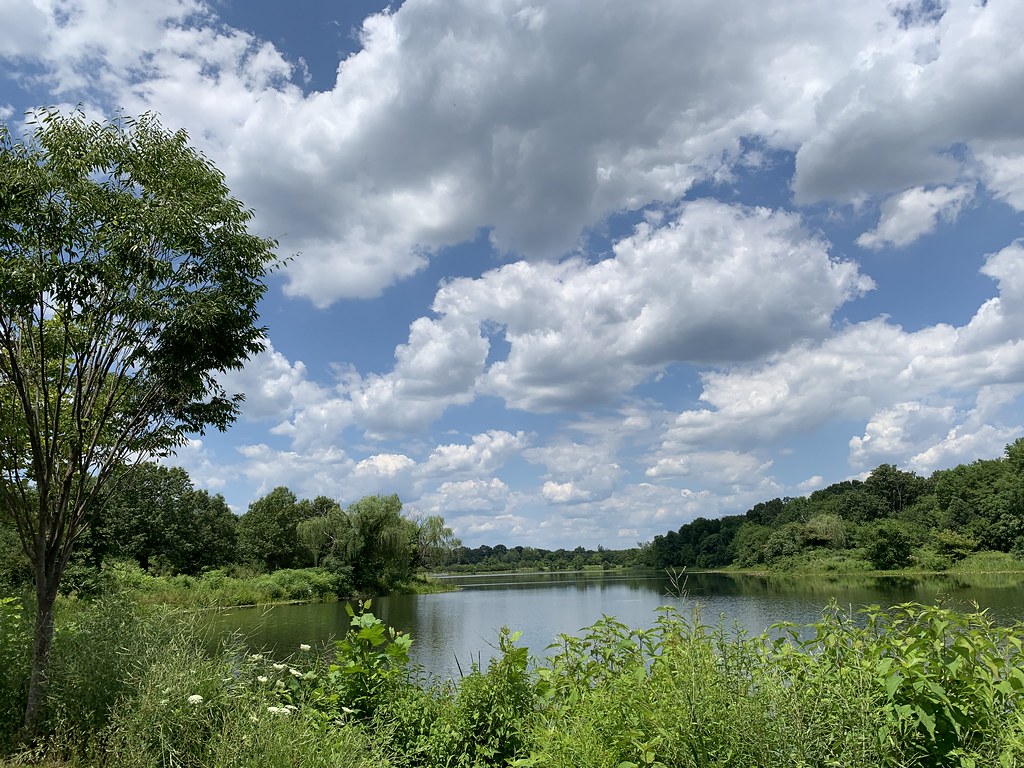
Lake Artemesia is a 38-acre man-made lake located in Prince George’s County, Maryland, within the Lake Artemesia Natural Area in College Park and Berwyn Heights. The lake was constructed during the late-1980s completion of the Washington Metro’s Green Line, which runs alongside the lake, and the surrounding natural area is administered by the Maryland-National Capital Park and Planning Commission, including aquatic gardens, fishing piers, and hiker-biker trails.
The park is named for Artemesia N. Drefs, who donated ten lots to the county for preservation as open space in 1972, and the 1.35-mile hiker-biker trail around the lake is part of the Anacostia Tributary Trail System and East Coast Greenway.
Lake Centennial

Lake Centennial is a 54-acre man-made reservoir located in a 325-acre park in Howard County, Maryland, near Columbia and Clarksville, known as Centennial Park. The lake was created by damming the Centennial Branch of the Little Patuxent River and is used for the conservation of various types of fish, such as trout and bass, with fishing restrictions implemented.
The park features a dam, a wildlife area, a walking trail, boating, fishing, and other recreational activities and is owned by the Howard County Department of Recreation and Parks, with normal non-tidal Maryland Department of Natural Resources fishing regulations currently applying.
Lake Needwood

Lake Needwood is a 75-acre reservoir located in Derwood, Maryland, created by damming Rock Creek in 1965 with the goal of providing flood control and reducing soil erosion. The lake is part of Rock Creek Regional Park and is situated on Rock Creek, offering visitors the opportunity to rent pedal boats, rowboats, and canoes, and a flat-bottom pontoon boat, the Needwood Queen, is available for rides.
The park also features a visitors center and snack bar, hiking and biking trails, playgrounds, an archery range, and Needwood Golf Course, with the Rock Creek Trail beginning at Lake Needwood and ending at the Potomac River in Washington, D.C.
Lake Elkhorn
Lake Elkhorn is a 37-acre reservoir located in the Owen Brown area of Columbia, Maryland, named after the Elkhorn branch of the Little Patuxent River. Its main features are a small dam, a park with a picnic pavilion, and a two-mile walking path around the lake, which was built in 1974 and is overseen by the Columbia Association.
Despite being considered an attractive feature to homeowners, several drowning incidents have occurred, raising concerns in the community and leading to proposals for a fence around the playground next to the lake.

