Amid the rugged coasts and dense forests of the Pine Tree State, a quieter narrative unfolds – one written not in ink, but in the ebb and flow of its rivers and lakes. Maine, celebrated for its maritime heritage and natural beauty, harbors a treasure trove that lies beyond the ocean’s horizon – an intricate network of waterways that etch their stories into the very land they grace.
These aquatic storytellers, much like whispered legends, carry echoes of exploration, sustenance, and a profound connection to nature. In this article, we embark on a journey that traces the pathways of Maine’s rivers and delves into the reflective depths of its lakes.
Join us as we unearth the significance of these aqueous tales, uncovering how they’ve shaped the state’s history, culture, and identity, and revealing the undeniable imprint that water has left upon the soul of the Pine Tree State.
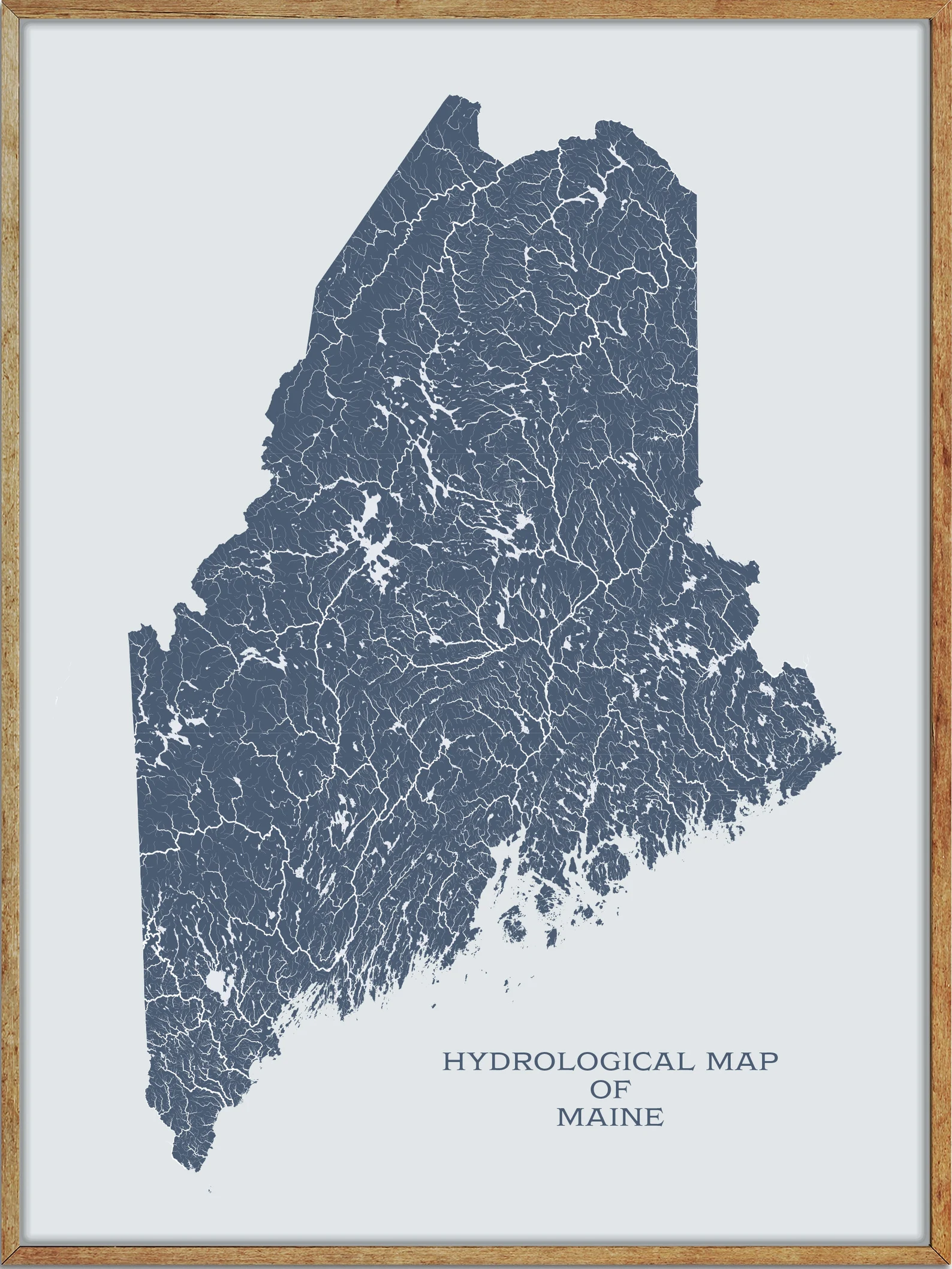
Printable Maine Lakes and Rivers Map
Rivers
Kennebec River
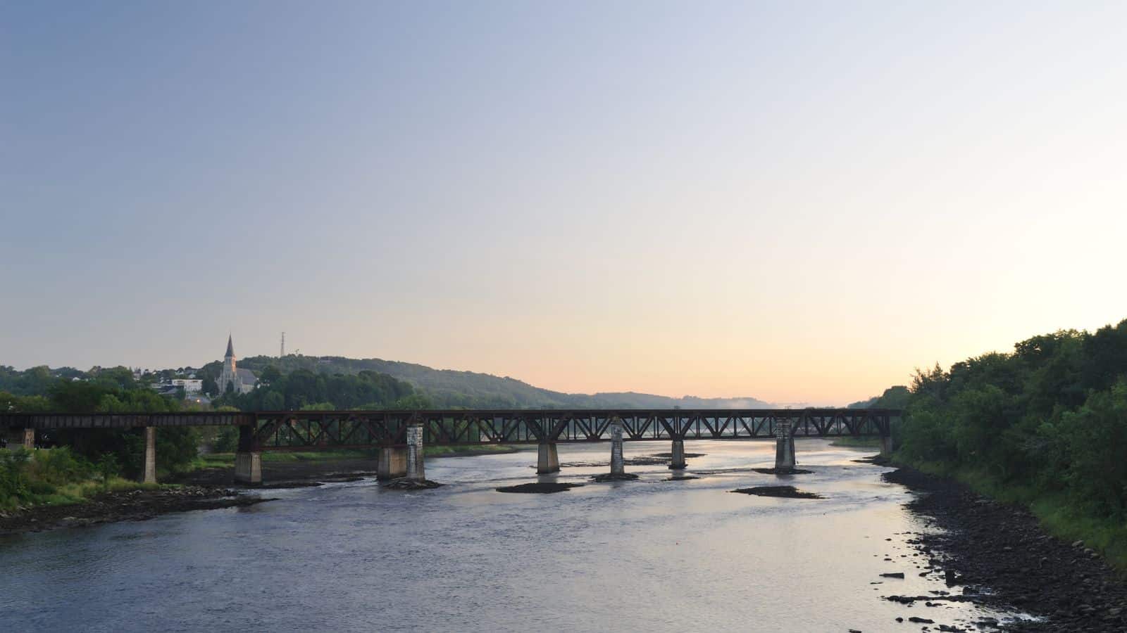
The Kennebec River is a 170-mile-long river in Maine that rises in Moosehead Lake and flows southward past the towns of Madison, Skowhegan, Waterville, and Augusta. At Richmond, it flows into Merrymeeting Bay, a freshwater tidal bay into which also flow the Androscoggin River and five smaller rivers.
The river runs past the shipbuilding center of Bath and has its mouth at the Gulf of Maine in the Atlantic Ocean, with its tributaries including the Carrabassett River, Sandy River, and Sebasticook River. The Southern Kennebec does not have rapids, allowing ocean tides and saltwater fish species, such as the endangered Atlantic Sturgeon, to go upriver and affect the ecology as far north as Waterville, located more than 35 miles inland.
Penobscot River

The Penobscot River is a 109-mile-long river in Maine that arises from four branches in several lakes in north-central Maine and flows generally east. Its drainage basin contains 8,610 square miles, making it the second-longest river system in Maine and the longest entirely in the state.
The river becomes navigable at the city of Bangor, where it flows past and is home to the Penobscot people that live on Indian Island, and empties into the Atlantic Ocean in Penobscot Bay.
Allagash River

The Allagash River is a 65-mile-long tributary of the Saint John River in northern Maine, which drains in a remote and scenic area of wilderness in the Maine North Woods north of Mount Katahdin. The river’s name comes from the Abenaki language, meaning “bark stream,” and issues from Churchill Lake at Churchill Depot in northern Piscataquis County.
In its natural state, it also drained Allagash, Chamberlain, and Telos lakes, but in the 1840s, dams were built that diverted their drainage into the East Branch of the Penobscot River, to facilitate the shipping of logs south to coastal Maine.
St. Croix River

The St. Croix River is a 71-mile-long river that forms part of the Canada-United States border between Maine and New Brunswick. It rises in the Chiputneticook Lakes and flows south and southeast, between Calais and St. Stephen, before discharging into Passamaquoddy Bay in the Bay of Fundy.
The river’s total drainage area is approximately 1,500 square miles, and it was heavily developed for hydroelectric power in the 20th century, which reduced the Atlantic salmon population that previously inhabited the river. The river is also an estuary between Calais-St. Stephen and the river’s mouth at Robbinston and St. Andrews, exhibiting a tidal bore along this section.
Aroostook River
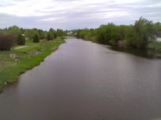
The Aroostook River is a 112-mile-long tributary of the Saint John River, with its basin being the largest sub-drainage of the Saint John River. The river rises in northeastern Maine from the confluence of Millinocket Stream and Munsungan Stream in northern Penobscot County and winds east and northeast through Aroostook County, running through Ashland and passing north of Presque Isle and east of Caribou before joining the Saint John River in Aroostook, New Brunswick.
The river is also part of the International Appalachian Trail, with hikers crossing the river, passing through customs, and crossing the international boundary at Fort Fairfield, Maine.
Saco River

The Saco River is a 136-mile-long river that drains a rural area of 1,703 square miles of forests and farmlands west and southwest of Portland, emptying into the Atlantic Ocean at Saco Bay. It supplies drinking water to roughly 250,000 people in thirty-five towns and historically provided transportation and water power encouraging development of the cities of Biddeford and Saco and the towns of Fryeburg and Hiram.
Samuel de Champlain sailed a portion of the river in 1605 and referred to it as Chouacoet, which he said was the name used by the Almouchiquois people, and the name “Saco” is attributed to an Eastern Abenaki language word meaning “land where the river comes out.”
Piscataquis River
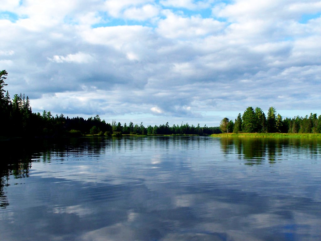
The Piscataquis River is a major tributary of the Penobscot River in Piscataquis County, Maine, and is approximately 65 miles in length. The river starts from the confluence of its East Branch and West Branch in Blanchard and flows in a mostly eastern direction until it meets the Penobscot at Howland.
The river is impounded by the Howland Dam at its confluence with the Penobscot River, and the Appalachian Trail runs along the West Branch of the Piscataquis, crossing the East Branch just upstream from their joining.
Mattawamkeag River
The Mattawamkeag River is a 50.6-mile-long river in Maine that runs south and west to its mouth on the Penobscot River in Mattawamkeag. The river starts from the confluence of its East Branch and West Branch in Haynesville, about 10 miles west of the Canada-United States border.
Androscoggin River

The Androscoggin River is a 178-mile-long river in the U.S. states of Maine and New Hampshire, with a drainage basin of 3,530 square miles. The river begins in Errol, New Hampshire, and flows generally south past the towns of Errol and Milan and the city of Berlin before turning east at the town of Gorham, New Hampshire, to cut across the northern end of the White Mountains and enter Maine.
The river passes through the twin cities of Lewiston and Auburn, turns southeast, passes the community of Lisbon Falls, and reaches tidewater just below the final falls in the town of Brunswick, where it joins the Kennebec River at Merrymeeting Bay before emptying into the Gulf of Maine on the Atlantic Ocean.
Lakes
Moosehead Lake

Moosehead Lake is the largest lake in Maine, the second-largest lake in New England (after Lake Champlain), and the largest mountain lake in the eastern United States. The deep, coldwater lake is located in Piscataquis County in Northwestern Maine and is the source of the Kennebec River.
The lake has over 80 islands, the largest being Sugar Island, with Deer Island to the west being the second largest. Greenville is the largest town on the lake and has a small downtown area with banks, shops, and restaurants.
Chamberlain Lake
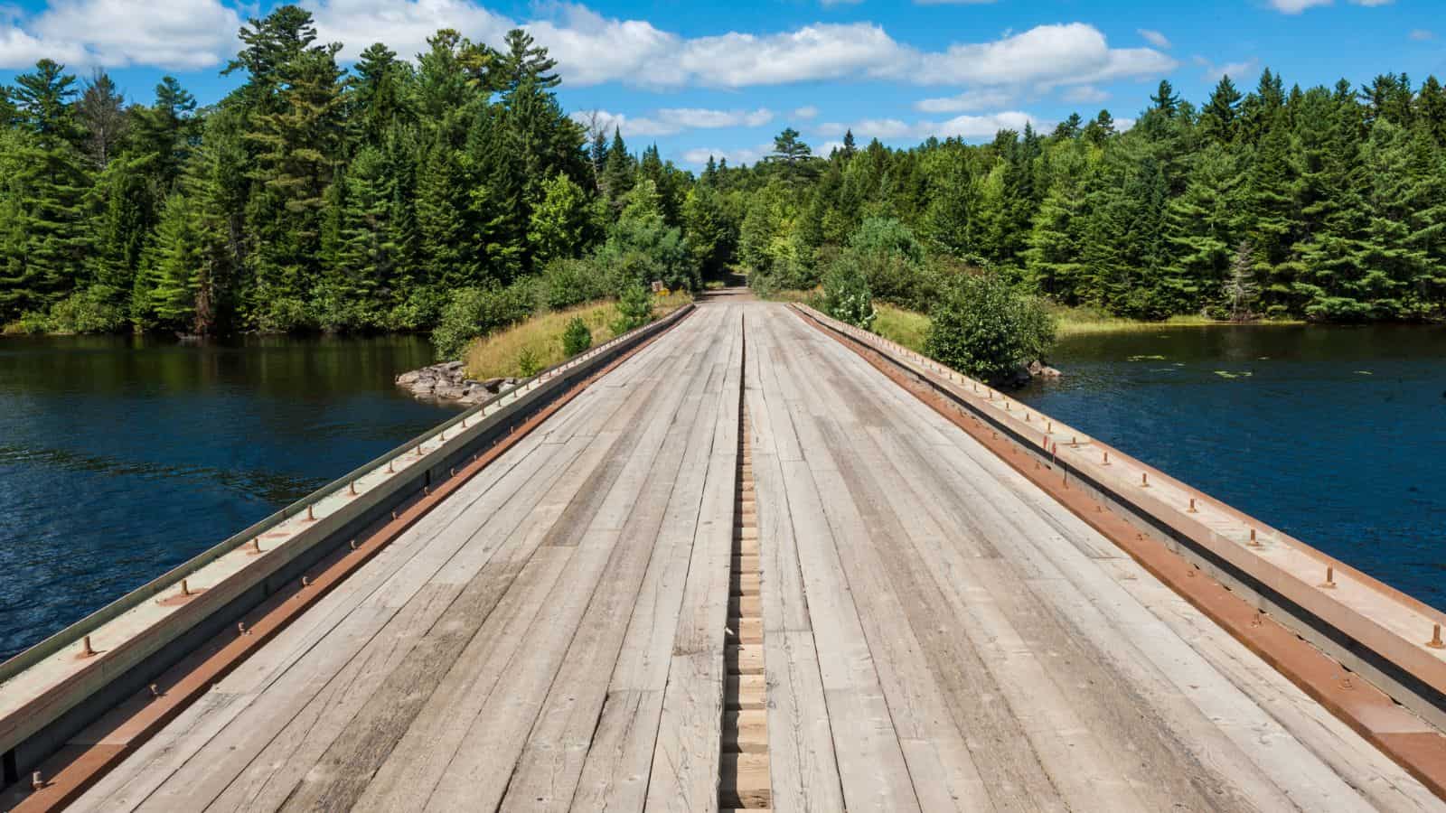
Chamberlain Lake is one of the largest and deepest lakes in the North Maine Woods and was originally drained north through Eagle Lake and Churchill Lake into the Allagash River tributary to the Saint John River.
Nineteenth-century logging operations diverted the lake into the Penobscot River before the designation of the Allagash Wilderness Waterway in 1966. The combined level of Chamberlain Lake, Round Pond, and Telos Lake has subsequently been regulated by Telos Dam, and the lake played a significant role in allowing logs harvested in the upper Saint John River watershed to be floated to Bangor sawmills.
Sebago Lake

Sebago Lake is the second-largest and deepest lake in Maine, covering about 45 square miles in surface area with a length of 14 miles and a shoreline length of roughly 105 miles.
The lake is 316 feet deep at its deepest point, with a mean depth of 101 feet, and is known for its erratic and sudden changes in weather during all seasons, likely due to its proximity to the Atlantic Ocean and to Mt. Washington, a very notorious extreme weather hotspot.
The name Sebago comes from the Abenaki sobagoo, meaning “it is the sea” or “it resembles the sea,” and it is in Cumberland County, bordered by the towns of Casco, Naples, Raymond, Sebago, Standish, and Windham, with the seasonally occupied town of Frye Island on an island in the lake.
Flagstaff Lake

Flagstaff Lake is a shallow lake located in Somerset County and Franklin County, Maine, in the United States, with a surface area of 20,300 acres and a storage capacity of about 275,482 acre-feet. The North Branch Dead River and South Branch Dead River join in the lake, forming the Dead River, and landlocked salmon and brook trout can be caught.
The lake is mostly undeveloped with relatively few boats and is optimal for kayaking, and the Bigelow Mountain Range overlooks the lake’s southern shore, making it popular for outdoor activities.
Chesuncook Lake

Chesuncook Lake is a reservoir in Piscataquis County, Maine, within the North Maine Woods, with a surface area of 25,183 acres and a maximum depth of 150 feet. The lake was formed by the damming of the West Branch Penobscot River by dams built in 1835, 1903, and 1916 respectively, and is the third-largest body of fresh water in Maine.
The lake was named “goose place” by combining the call of the Canada goose with auke (the Abenaki word for place) to form Chesuncook, and is on the Northern Forest Canoe Trail.
Richardson Lakes

Richardson Lakes in Maine are impounded as a single reservoir by Middle Dam at the outlet to Rapid River on the western shore of the lower lake, with Rapid River flowing 5 miles to Umbagog Lake headwaters of the Androscoggin River. Upper Richardson Lake is in the western portion of Richardsontown Township, and the lower lake is on the border of Magalloway Plantation and Maine Township C.
The lake offers excellent habitat for adult trout, but with dams on the outlet and major inlet, fish populations are limited by the insufficient spawning and nursery areas of these small tributaries. The public boat launch area at the north end of the upper lake is 1 mile off Maine State Route 16, and the boat launch area at the south end of the lower lake is accessed by driving 12 miles north of Andover on South Arm Road.
Mooselookmeguntic Lake

Mooselookmeguntic Lake is located in Franklin County and Oxford County, Maine, in the United States, and is part of the Androscoggin River watershed. The lake’s waters flow out to the southeast, into Upper Richardson Lake, and there is a dam between the two lakes called “Upper Dam”.
The lake’s maximum depth is 132 feet and its surface area is 25.5 square miles, making it the sixth largest lake in Maine. The lake is just a few miles from the Appalachian Trail and is located in the western part of Maine, near the border with the state of New Hampshire and the Canadian province of Quebec.
Pushaw Lake
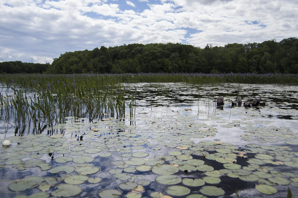
Pushaw Lake is a shallow, warm water lake in Penobscot County, Maine, United States, located about 6.5 mi north of Bangor and 4.5 mi west of Orono. The lake is part of the towns of Orono, Old Town, Hudson, and Glenburn, with roads and private residences along much of the lake, except the southeastern end where the Caribou Bog complex borders the lake.
The lake’s formation and history prior to 1920 remains unclear, but it is likely that the formation of Pushaw Lake was caused by glacial melting, with some locals believing that the lake was greatly expanded in size by flooding or man-made causes at some point in history, explaining the lake’s shallow depth.
Graham Lake
Graham Lake in Hancock County, Maine is a eutrophic reservoir formed by the construction of a hydro-electric power dam in 1922 four miles upstream from Ellsworth, Maine. The first dam was a hastily built earthen dam built by the Bangor Hydro Electric Company, which failed in 1923, flooding downtown Ellsworth and doing almost $8 million in property damage. Despite having low water clarity, Graham Lake is home to various fish species such as smallmouth bass, white perch, chain pickerel, landlocked salmon, and brook trout, which are of interest to anglers.
Schoodic Lake

Schoodic Lake is a deep Maine lake with a small drainage basin, covering much of the western half of Lake View Plantation, and with tributaries draining Orson Bog, Norton Pond, and Jaquith Pond in eastern Brownville.
The lake provides good habitat for togue, squaretail, and land-locked Atlantic salmon, with fishermen also finding smallmouth bass, white sucker, and round whitefish. The south end of the lake overflows through Schoodic Stream 5 miles to the Piscataquis River 13 miles upstream of the Piscataquis confluence with the Penobscot River at Howland.
Big Lake
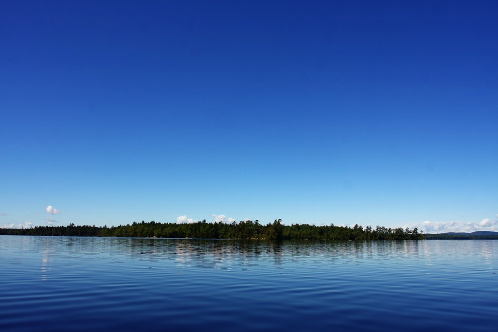
Big Lake is the second largest lake in Washington County, Maine, located in and around the Grand Lake Stream, near the border with New Brunswick, and covering 10,444 acres with a maximum depth of 70 feet.
The lake is known for smallmouth bass and constitutes part of the west branch of the Saint Croix River, with 28 islands on the lake. Big Lake is a well-known location for anglers and other freshwater fishermen, making it a popular destination for fishing enthusiasts.
Baskahegan Lake
Baskahegan Lake is located in the town of Topsfield, Maine, and is the third largest lake in Washington County, covering 6,815 acres. The picturesque lake is known for its warm water fishery and very high water quality, making it a popular destination for fishing enthusiasts.
In 2007, Evergreen Wind Power LLC sought to build on Stetson Mountain, which would be visible from the boat launch on Baskahegan Lake near Brookton, nine miles away, and as of 2009, the installation on Stetson Mountain was the largest wind power operation in New England.
Square Lake
Square Lake is an unorganized territory in Aroostook County, Maine, covering a total area of 414.4 square miles, with several lakes in the region, including the eponymous Square Lake, Eagle Lake, Cross Lake, and Mud Lake.
The unorganized territory has a population of 706 people, according to the 2020 census, and is home to 10 townships within its borders, plus one that is shared with Northwest Aroostook. The region is known for its beautiful lakes and natural scenery, making it a popular destination for outdoor enthusiasts.
Long Lake
Long Lake is an eleven-mile lake located between the towns of Naples, Bridgton, and Harrison in Maine, and is connected to Brandy Pond through the Chute River. The lake was created by receding glaciers and has many coves and rocks, making it a popular destination for summer camps such as Camp Newfound, Camp Owatonna, Camp Takajo, and Camp Wildwood.
Long Lake is also known for its literary and cinematic connections, including being the home of the fictional character David Drayton in Stephen King’s novella, The Mist, and the site of E.B. White’s vacation house. While the official maximum depth is listed as 59 ft, there is a spring near Half Loon Bay that registers as being 216 ft deep, according to depth finders on multiple boats.
Eagle Lake

Eagle Lake is the first, largest, and deepest lake of the Allagash Wilderness Waterway in the North Maine Woods, covering the eastern side of Eagle Lake township. The lake is known for its beautiful natural scenery and is home to various ponds including Woodman Pond, Pillsbury Pond, Little Pillsbury Pond, Soper Pond, Upper Soper Pond, and the Russell Ponds.
Eagle Lake originally received overflow from Chamberlain Lake, but Lock Dam has diverted most of the Chamberlain Lake overflow through Telos Cut to the Penobscot River since the 1850s, making it a popular destination for outdoor enthusiasts.

