Beneath the soothing rhythm of bluegrass tunes and the echoes of thundering hooves, Kentucky’s landscape unveils a quieter but equally captivating symphony – the gentle melodies of its rivers and lakes. While the state is renowned for its equestrian heritage and bourbon distilleries, its aquatic treasures remain an integral part of its allure.
These waterways, like the intricate notes of a musical composition, carry stories of resilience, trade, and the timeless flow of nature. In this article, we set out on a journey that follows the meandering verses of Kentucky’s rivers and listens to the tranquil chorus of its lakes.
Join us as we delve into the harmonious significance of these aqueous elements, uncovering their historical, cultural, and environmental importance and discovering how their cadence has shaped the symphony of the Bluegrass State.
Printable Kentucky Lakes and Rivers Map
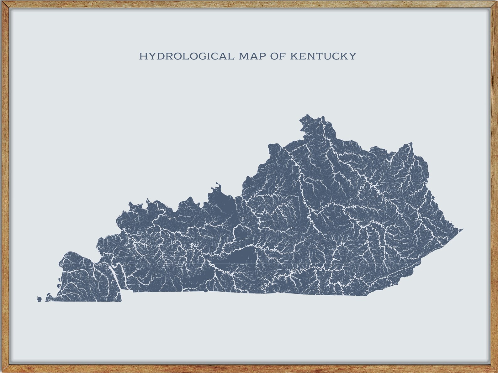
Rivers
Green River
The Green River is a 384-mile-long tributary of the Ohio River, originating in south central Kentucky’s Lincoln County. The river’s path is meandering, collecting various smaller streams along its way to Green River Lake, where it is impounded by a dam near Campbellsville.
It then flows westerly, receiving the Little Barren River and Nolin River before entering Mammoth Cave National Park, where it takes a more northwesterly turn and eventually empties into the Ohio River at Spottsville. The river takes its name from Nathanael Greene, a general of the American Revolutionary War.
Licking River
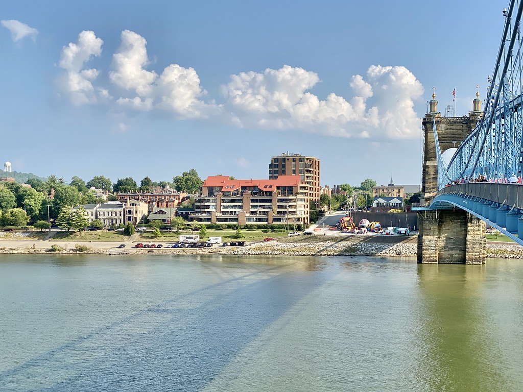
The Licking River is a 303-mile-long tributary of the Ohio River that runs through northeastern Kentucky, draining much of the region between the watersheds of the Kentucky River and the Big Sandy River.
The river is partly navigable and is fed by several tributaries, including the North Fork Licking River in Pendleton County, Kentucky, and the South Fork Licking River in counties such as Harrison County, Kentucky. The Licking River and its tributaries are vital to the region’s economy, providing water for agriculture and industry.
Cumberland River
The Cumberland River is a significant waterway in the Southern United States, draining nearly 18,000 square miles of southern Kentucky and north-central Tennessee along its 688-mile-long path. The river flows westward from its source in the Appalachian Mountains to its confluence with the Ohio River near Paducah, Kentucky, and the mouth of the Tennessee River.
The river system has been extensively altered for flood control, with major dams impounding areas of both the main stem and many of its important tributaries. Despite its predominantly rural basin, the Cumberland River is home to major cities such as Nashville and Clarksville in Tennessee.
Rough River

The Rough River is a 136-mile-long tributary of the Green River in west-central Kentucky, flowing through Breckinridge, Hardin, Grayson, and Ohio counties. It’s located approximately 70 miles southwest of Louisville and is part of the watershed of the Mississippi River via the Green and Ohio Rivers.
The river was historically known as “Rough Creek” and was dammed in the 1950s to create Rough River Lake, a popular recreational area.
Barren River
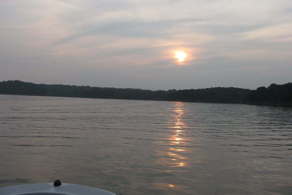
The Barren River is a 135-mile-long tributary of the Green River in Southcentral Kentucky, United States. The river rises in Monroe County near the Tennessee border and flows into the Green River in northeast Warren County, with its drainage basin encompassing Southcentral Kentucky and north-central Tennessee.
Historically known as the “Big Barren River,” the river was distinguished from the Little Barren River in early surveys and documents. At Greencastle, Kentucky, the river has a mean annual discharge of 2,501 cubic feet per second.
Salt River
The Salt River is a 150-mile-long river in Kentucky that drains 2,920 square miles and begins near Parksville, rising from the north slope of Persimmon Knob south of KY 300 between Alum Springs and Wilsonville. It ends at the Ohio River near West Point and forms Taylorsville Lake, with Guist Creek Lake also in its drainage basin.
The river is known for annual flooding that swells the normally quiet waters to a rapidly flooding torrent, with the Taylorsville Lake Dam built in the early 1970s to tame the worst of the floods and change the nature of the river downstream.
Kentucky River
The Kentucky River is a 260-mile-long tributary of the Ohio River that drains much of the central region of Kentucky, passing through the coal-mining regions of the Cumberland Mountains in its upper course and the Bluegrass region in the north-central part of the state in its lower course.
Its watershed encompasses about 7,000 square miles and supplies drinking water to about one-sixth of the population of Kentucky, with over 700,000 people estimated to depend on the river for water. Although the river is no longer navigable above Lock 4 at Frankfort, it remains important for maintaining a pool that allows several cities, including Lexington, Winchester, and Frankfort, to draw their drinking water from the river.
Levisa Fork
The Levisa Fork is a 164-mile-long tributary of the Big Sandy River in southwestern Virginia and eastern Kentucky. It rises in the Appalachian Mountains of southwestern Virginia, near Grundy, and flows west into Pike County, Kentucky, where it is impounded to form Fishtrap Lake reservoir.
The river is partly navigable for commercial purposes through a series of locks and was historically important for log driving. The Levisa Fork is also known for a tragic event in American history, with a school bus carrying students tumbling into the river after colliding with a wrecker truck in 1958, resulting in one of the worst bus disasters in American history.
Tradewater River
The Tradewater River is a 136-mile-long tributary of the Ohio River in western Kentucky that drains an area of 932 square miles in the limestone hills south of Evansville, Indiana, between the basins of the Cumberland River on the west and the Green River on the east.
The river rises in northern Christian County and flows generally northwest in a tight meandering course, forming a rough boundary between the Shawnee Hills to the northeast and the Pennyroyal plateau to the southwest. The river has a low gradient with a gentle flow along much of its course and has a mean annual discharge of 1,070 cubic feet per second at Providence.
Pond River
The Pond River is a 90.8-mile-long tributary of the Green River in western Kentucky that rises in central Todd County and flows generally north-northwestwardly, along the boundaries of Muhlenberg, Christian, Hopkins, and McLean counties to join the Green River from the south about 5 miles west-southwest of the town of Calhoun.
The river collects the West Fork Pond River at the common boundary of Christian, Hopkins, and Muhlenberg counties, and upstream of this confluence, it has also been known as the East Fork Pond River. The Pond River is part of the watershed of the Mississippi River via the Green and Ohio rivers.
Lakes
Kentucky Lake
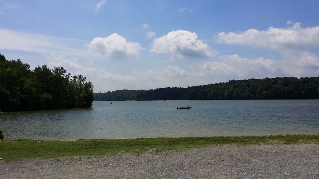
Kentucky Lake is the largest artificial lake by surface area in the United States east of the Mississippi River, with 2,064 miles of shoreline. Created in 1944 by the Tennessee Valley Authority’s impounding of the Tennessee River via Kentucky Dam for flood control and hydroelectric power, the 160,309-acre lake has a flood storage capacity of 4,008,000 acre-feet, more than 2.5 times the next largest lake in the TVA system.
Kentucky Lake is not only a source of hydroelectric power but also a popular recreational destination in western Kentucky and Tennessee, as one of the lakes alluded to by the name of Land Between The Lakes National Recreation Area.
Lake Barkley

Lake Barkley, named after Vice President Alben Barkley, is a 58,000-acre reservoir in Kentucky and Tennessee, impounded by the U.S. Army Corps of Engineers in 1966 upon the completion of Barkley Dam.
The dam impounds the Cumberland River near Grand Rivers, Kentucky, and a canal connecting Lake Barkley with Kentucky Lake forms one of the greatest freshwater recreational complexes in the country. Lake Barkley is 134 miles long with a shoreline measuring 1,004 miles, and its water level is maintained at different levels throughout the year for flood control purposes, with a summer pool at 359 ft above sea level and a winter pool at 354 ft.
Dale Hollow Lake
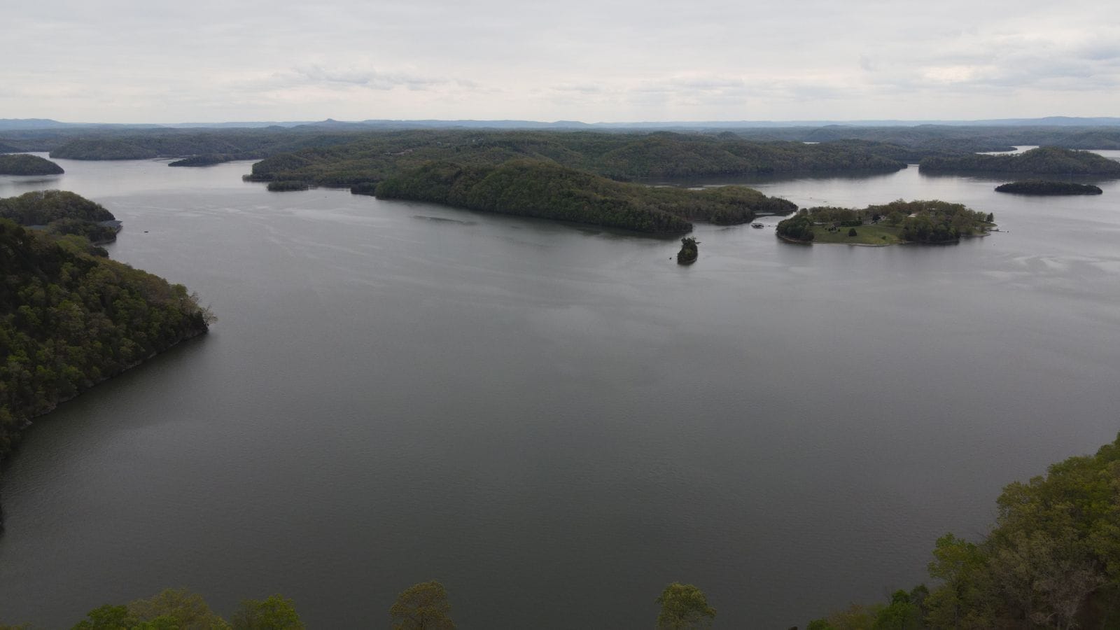
Dale Hollow Reservoir is a 27,700-acre reservoir situated on the Kentucky/Tennessee border, formed by the damming of the Obey River, 7.3 miles above its juncture with the Cumberland River at river mile 380.
The lake also covers portions of the Wolf River and is one of four major flood control reservoirs for the Cumberland, along with Percy Priest Lake, Lake Cumberland, and Center Hill Lake. Dale Hollow Lake State Park is located on the north (Kentucky) side, and electricity from the dam is marketed by the Southeastern Power Administration.
Lake Cumberland
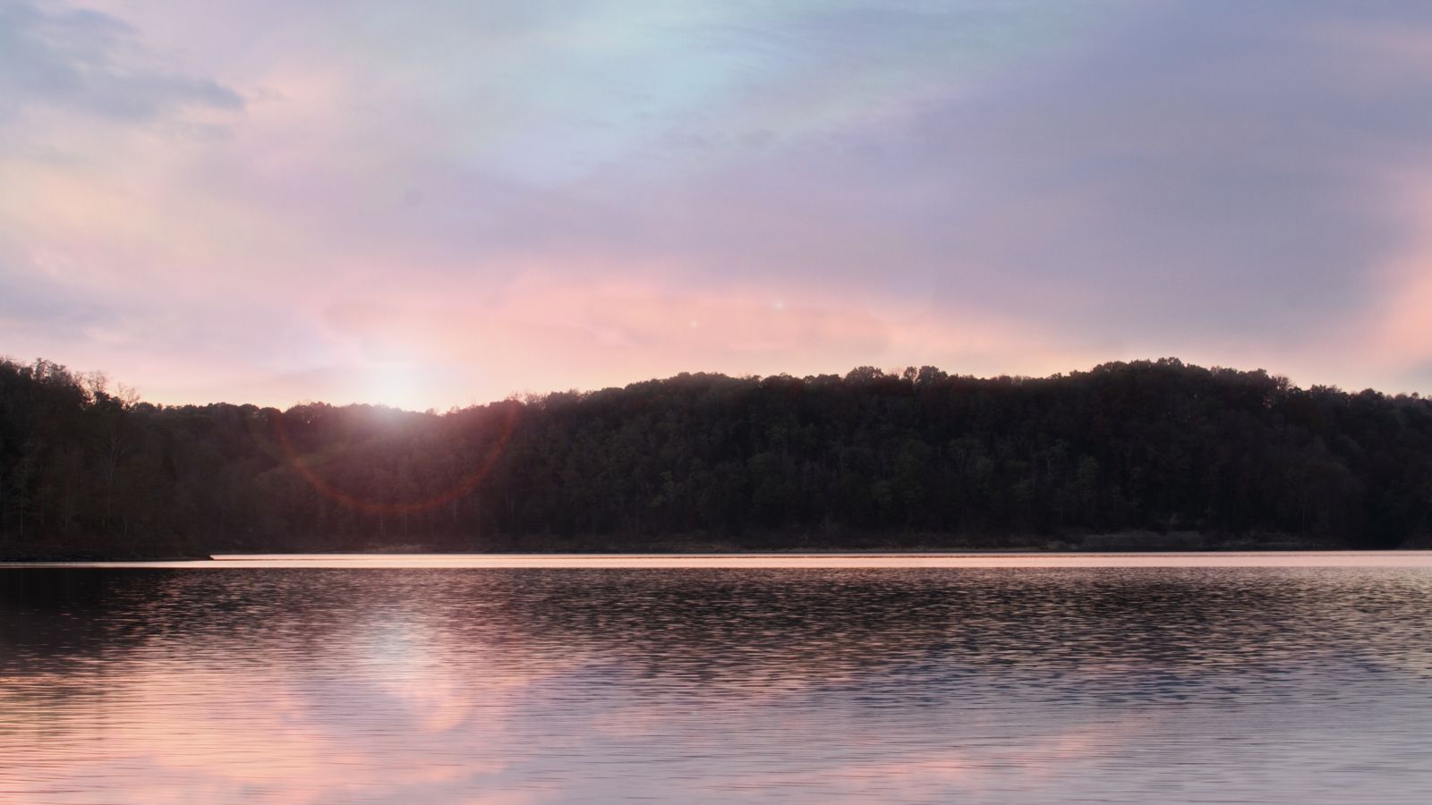
Lake Cumberland is a 65,530-acre reservoir in Kentucky that was constructed for flood control and hydroelectric power. Its shoreline measures 1,255 miles and the lake has a capacity of 6,100,000 acre-feet of water, enough to cover the entire Commonwealth of Kentucky with 3 inches of water.
Despite a leakage in the dam that caused the lake to be 43 feet below its normal level in 2011, repairs were completed in 2013 and the lake is now a major source of tourism and an economic engine for south-central Kentucky, with lake levels back to normal as of April 18, 2015.
Cave Run Lake

Cave Run Lake is an 8,270-acre reservoir located south of Morehead, Kentucky, built by the U.S. Army Corps of Engineers with a 148 ft, half-mile dam construction that began in 1965 and was completed in 1973.
The lake is in the northern part of the Daniel Boone National Forest and provides flood protection to the lower Licking River valley, supplies water to the area’s communities, improves the Licking River’s water flow conditions, and offers a habitat for various species of fish and wildlife. Cave Run Lake is situated in Rowan, Morgan, Menifee, and Bath counties.
Nolin Lake

Nolin River Lake is a 2,890-acre reservoir in Kentucky that was impounded from the Nolin River by the United States Army Corps of Engineers in 1963 for flood control purposes.
The lake varies from 2,890 acres in the winter to 5,795 acres in the summer and is situated in Edmonson, Grayson, and Hart counties. Nearby attractions include Mammoth Cave National Park, Nolin Lake State Park, Moutardier Resort and Marina, Ponderosa Boat Dock/Marina, and Wax Marina.

