Amid the rugged grandeur of the American Northwest, a hidden world of liquid wonders awaits, where untamed nature unfolds in a symphony of water and land. Idaho, known as the Gem State, holds a treasure trove that surpasses its gemological namesake – an intricate network of rivers and lakes that glitter like jewels across its diverse terrain.
These aqueous landscapes not only mirror the soaring peaks and deep valleys but also mirror the resilience, spirit, and ever-changing essence of Idahoans themselves. In this article, we embark on a unique expedition – one that rides the currents of Idaho’s rivers and reflects on the stillness of its lakes.
Join us as we uncover the spiritual connections, recreational revelations, and ecological significance held within these liquid treasures, revealing how the very heart of the Gem State beats in harmony with its mesmerizing waterscapes.
Printable Idaho Lakes and Rivers Map
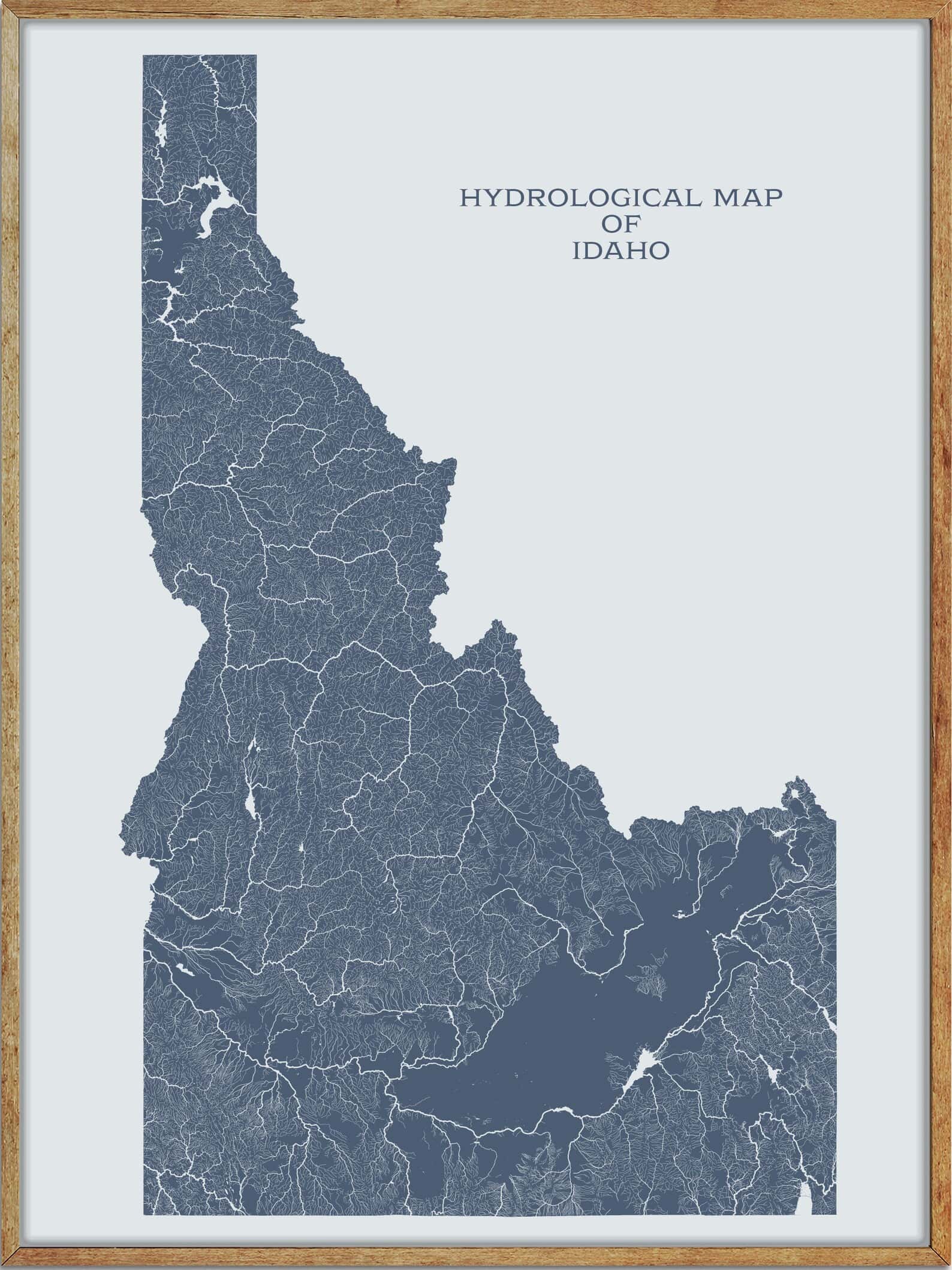
Rivers
Snake River
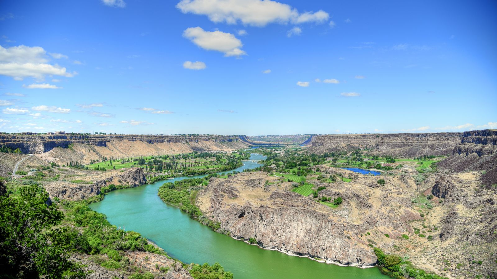
The Snake River is the largest tributary of the Columbia River, with a length of 1,078 miles, and is a major river of the greater Pacific Northwest region in the United States. The river rises in western Wyoming, flows through the Snake River Plain of southern Idaho, the rugged Hells Canyon on the Oregon-Idaho border, and the rolling Palouse Hills of Washington, before emptying into the Columbia River at the Tri-Cities in the Columbia Basin of Eastern Washington.
The Snake River drainage basin encompasses parts of six U.S. states and is known for its varied geologic history, with Native Americans living along the river for more than 11,000 years, and several dams being built on the river starting in the 1890s to generate hydroelectricity, to enhance navigation, and provide irrigation water, though these dams have led to environmental issues in certain parts of the river.
Salmon River
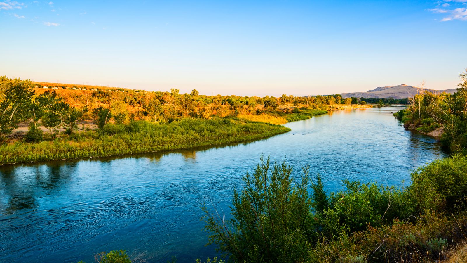
The Salmon River, also known as “The River of No Return”, is a 425-mile-long river located in the U.S. state of Idaho, flowing through central Idaho and draining a rugged, thinly populated watershed of 14,000 square miles. The river drops more than 7,000 feet from its headwaters, near Galena Summit above the Sawtooth Valley in the Sawtooth National Recreation Area, to its confluence with the Snake River, and is the longest undammed river in the contiguous United States.
The river is home to various settlements, including Stanley, Clayton, Challis, Salmon, Riggins, and White Bird, and Redfish Lake and Little Redfish Lake, which flow into the river via Redfish Lake Creek, are the termini of the longest Pacific sockeye salmon migration in North America.
Saint Joe River
The Saint Joe River is a 140-mile-long tributary of Coeur d’Alene Lake in northern Idaho, flowing through the Saint Joe River Valley and the communities of Avery and Calder, before turning northwest, passing through Heyburn State Park and reaching its mouth just north of the Kootenai County line.
In 1978, 66.3 miles of the river were protected by the National Wild and Scenic Rivers System, with 26.6 miles designated as wild and another 39.7 miles designated as recreational, while the river drains 1,850 square miles of the Idaho Panhandle and is part of the Spokane River watershed, which in turn is part of the Columbia River basin.
The river is home to many species of fish, including native westslope cutthroat trout, mountain whitefish, cedar sculpin and other cottids, shiners, and nonnative rainbow and brook trout, chinook and Kokanee Salmon, and is also home to the last self-sustaining population of vulnerable bull trout in the Coeur d’Alene Lake watershed.
Lochsa River

The Lochsa River, meaning rough water in Nez Perce and Ep Smɫí, meaning “It Has Salmon” in Salish, is one of two primary tributaries of the Middle Fork of the Clearwater River in the Clearwater National Forest, located in the mountains of north central Idaho.
The seventy-mile-long river drops nearly two thousand feet over its length, from 3,441 feet above sea level at Powell to 1,453 feet at Lowell, and is rated as one of the world’s best for continuous whitewater in late spring. The river has no dams, and its flow is unregulated, with its drainage basin covering 1,180 square miles in Idaho County, fed by the melting of the significant snowpack of the Bitterroot Range.
Selway River

The Selway River is a large tributary of the Middle Fork of the Clearwater River in Idaho, flowing within the Selway-Bitterroot Wilderness, the Bitterroot National Forest, and the Nez Perce National Forest of North Central Idaho.
The entire length of the Selway was included in the National Wild and Scenic Rivers Act in 1968, and the river is 100 miles in length from the headwaters in the Bitterroots to the confluence with the Lochsa near Lowell to form the Middle Fork of the Clearwater, draining a 2,013-square-mile basin in Idaho County.
Lemhi River
The Lemhi River is a 60-mile-long tributary of the Salmon River in Idaho, flowing generally northwest through the Lemhi Valley, between the Lemhi Range to the west, and the Bitterroot Range and Beaverhead Mountains to the east, and flowing into the Salmon River at the city of Salmon.
The water of the river and its tributaries is used for irrigation agriculture, with only 7% of the river’s mainstem tributaries not totally disconnected year-round due to diversion for irrigation.
Boise River
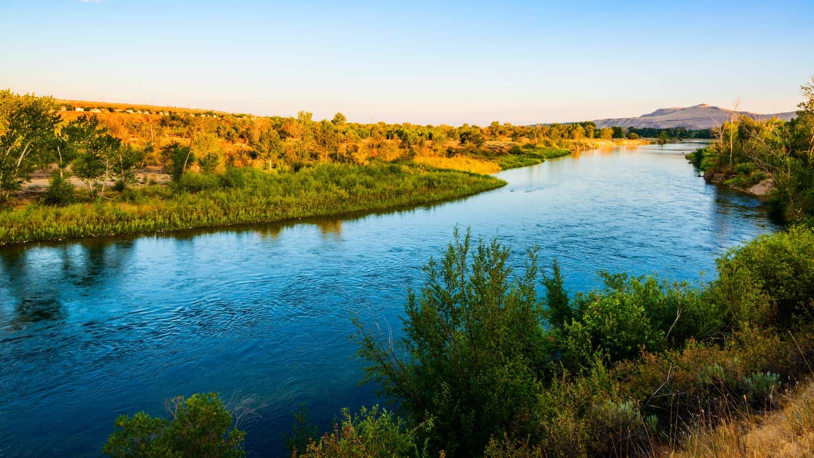
The Boise River is a 102-mile-long tributary of the Snake River in the Northwestern United States, draining a rugged portion of the Sawtooth Range in southwestern Idaho northeast of Boise, as well as part of the western Snake River Plain.
The river’s watershed covers approximately 4,100 square miles of highly diverse habitats, including alpine canyons, forests, rangeland, agricultural lands, and urban areas.
Weiser River
The Weiser River is a 103-mile-long tributary of the Snake River in western Idaho, draining a mountainous area of 1,660 square miles consisting primarily of low-rolling foothills intersected by small streams south and east of Hells Canyon along the Idaho-Oregon border.
It rises in northern Adams County in the Seven Devils Mountains, flows generally southwest, between the Cuddy Mountains to the west and the West Mountains to the east, past Council and Cambridge, and turns west for its lower 10 miles before entering the Snake from the east at Weiser.
The river descends from approximately 8,000 feet above sea level at its source to 2,090 feet at its mouth on the Snake and is used for irrigation in the vicinity of its mouth upstream from Weiser, as well along tributaries in its upper reaches.
Payette River
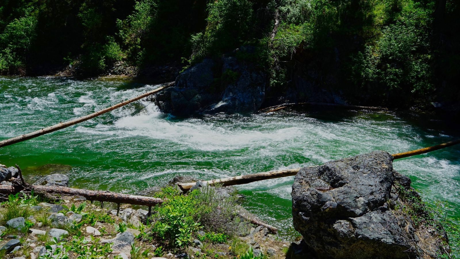
The Payette River is an 82.7-mile-long river in southwestern Idaho and is a major tributary of the Snake River, with its headwaters originating in the Sawtooth and Salmon River Mountains at elevations over 10,000 feet.
The cumulative stream length to the head of the North Fork Payette River is 180 miles, while to the head of the South Fork, the cumulative length is nearly 163 miles, with the combined river flowing into an agricultural valley and emptying into the Snake River near the city of Payette at an elevation of 2,125 feet.
The Payette River’s drainage basin comprises about 3,240 square miles and is a physiographic section of the Columbia Plateau province, which is part of the larger Intermontane Plateaus physiographic division, with the South Fork of the Payette having its headwaters in the Sawtooth Wilderness, which is part of the Sawtooth National Recreation Area.
Owyhee River

The Owyhee River is a 280-mile-long tributary of the Snake River located in northern Nevada, southwestern Idaho, and southeastern Oregon, with a drainage basin of 11,049 square miles, one of the largest sub-basins of the Columbia Basin.
The river drains a remote area of the arid plateau region immediately north of the Great Basin, rising in northeastern Nevada and flowing generally northward near the Oregon-Idaho border to the Snake River, with its watershed being very sparsely populated. The Owyhee River and its tributaries flow through the Owyhee Plateau, cutting deep canyons, often with vertical walls and in some places over 1,000 feet deep.
Big Lost River

The Big Lost River is a major river in Idaho, about 135 miles long, rising in the Rocky Mountains and flowing in a generally southeast direction into the Snake River Plain. The river’s surface flow does not reach any larger river but vanishes into the Snake River Aquifer at the Big Lost River Sinks, giving the river its name, and is one of the Lost streams of Idaho, several streams that flow into the plain and disappear into the ground.
Even though its surface flow is lost a short distance out of the mountains, the river is hydrologically connected to the Snake River, via the Snake River Aquifer and various springs along the course of the Snake in its journey through the plain.
Bear River
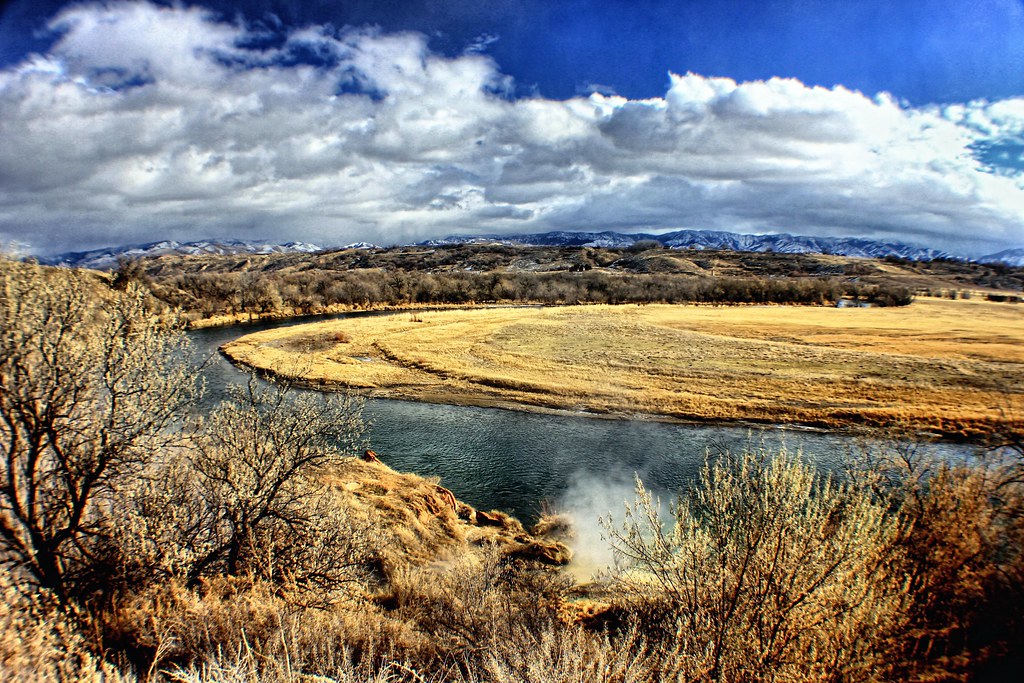
The Bear River is the largest tributary of the Great Salt Lake, flowing through northeastern Utah, southwestern Wyoming, southeastern Idaho, and back into northern Utah, draining a mountainous area and farming valleys northeast of the lake and southeast of the Snake River Plain.
It is approximately 350 miles long and is the longest river in North America that does not ultimately reach the sea. The river’s path takes it through a number of scenic canyons and valleys, and it is a popular spot for fishing and other recreational activities.
Lakes
Lake Pend Oreille

Lake Pend Oreille is the largest lake in Idaho and the 38th-largest lake by area in the United States, with a surface area of 148 square miles. It is surrounded by national forests and a few small towns, with the largest population on the lake at Sandpoint.
The lake is fed by the Clark Fork River and the Pack River, and drains into the Pend Oreille River, as well as subsurfacely into the Spokane Valley. It is home to several species of migratory waterfowl, along with a variety of animal species such as white-tailed deer, elk, gray wolves, moose, black bears, and bald eagles.
Bear Lake

Bear Lake is a natural freshwater lake on the Idaho-Utah border and is split about equally between the two states, with its Utah portion comprising the second-largest natural freshwater lake in Utah.
The lake has been called the “Caribbean of the Rockies” for its unique turquoise-blue color, which is due to the refraction of calcium carbonate deposits suspended in the lake, and its water properties have led to the evolution of several unique species of fauna that occur only within the lake. Today, Bear Lake is a popular destination for tourists and sports enthusiasts, and the surrounding valley has gained a reputation for having high-quality raspberries.
Priest Lake
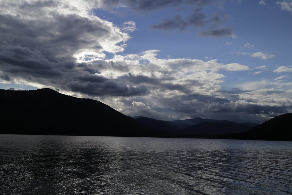
Priest Lake is a deep and pristine lake located in the northernmost portion of the Idaho Panhandle, 80 miles northeast of Spokane, Washington, extending to within 15 miles of the Canada-US border.
The primary lake, Lower Priest, is 19 miles long and over 300 feet deep, while Upper Priest is connected by a 2.5-mile thoroughfare to Lower Priest. The lake is surrounded by dense forests and offers a variety of recreational activities, including fishing, boating, and hiking.
Coeur d’Alene Lake

Lake Coeur d’Alene, officially Coeur d’Alene Lake, is a natural dam-controlled lake in North Idaho, located in the Pacific Northwest region of the United States, spanning 25 miles in length and ranging from 1 to 3 miles wide with over 109 miles of shoreline.
The lake was formed by the Missoula Floods, most recently 12,000 to 15,000 years ago, and is fed primarily by two rivers, the Coeur d’Alene and the Saint Joe, with the outflow via the Spokane River. The lake’s elevation varies throughout the year, controlled by the Post Falls Dam located 9 miles below the lake on the Spokane River.
Lake Walcott
Lake Walcott is a reservoir in south central Idaho, impounded by Minidoka Dam, and formed by the damming of the Snake River by the Minidoka Project beginning in 1909.
The lake spans 11,000 acres and is home to Bird Island. Visitors can enjoy a variety of recreational activities at Lake Walcott, including fishing, boating, camping, and swimming, with the Minidoka National Wildlife Refuge and Lake Walcott State Park adjoining the lake and serving as major attractions in the region.
Grays Lake
Grays Lake is a wetland located in Bonneville County and Caribou County in Idaho and is at the western edge of the Greater Yellowstone Ecosystem. The lake lies within the Caribou Range of the Rocky Mountains and is surrounded by ranchlands used for cattle, sheep, and hay production.
Grays Lake National Wildlife Refuge was established in the area in 1965 to protect and restore habitat for waterfowl production, sandhill cranes, and other wildlife, and is significant for its high density of breeding sandhill cranes and as a reintroduction site for trumpeter swans.

