In the heart of the tropics, where vibrant flora and exotic fauna flourish, lies a watery paradise that defines the very essence of Florida. While the state is renowned for its sun-soaked beaches and bustling urban centers, its lesser-known treasures lie in the intricate network of rivers and lakes that crisscross its landscapes.
From the languid flow of its meandering rivers to the serene expanses of its freshwater lakes, Florida’s waterways offer a glimpse into a world teeming with life and biodiversity. In this article, we embark on a captivating journey, navigating the dynamic currents of Florida’s rivers and delving into the reflective depths of its lakes.
Join us as we uncover the ecological importance, recreational opportunities, and cultural significance of these aquatic wonders, revealing the hidden facets of the Sunshine State’s natural heritage.
Printable Florida Lakes and Rivers Map
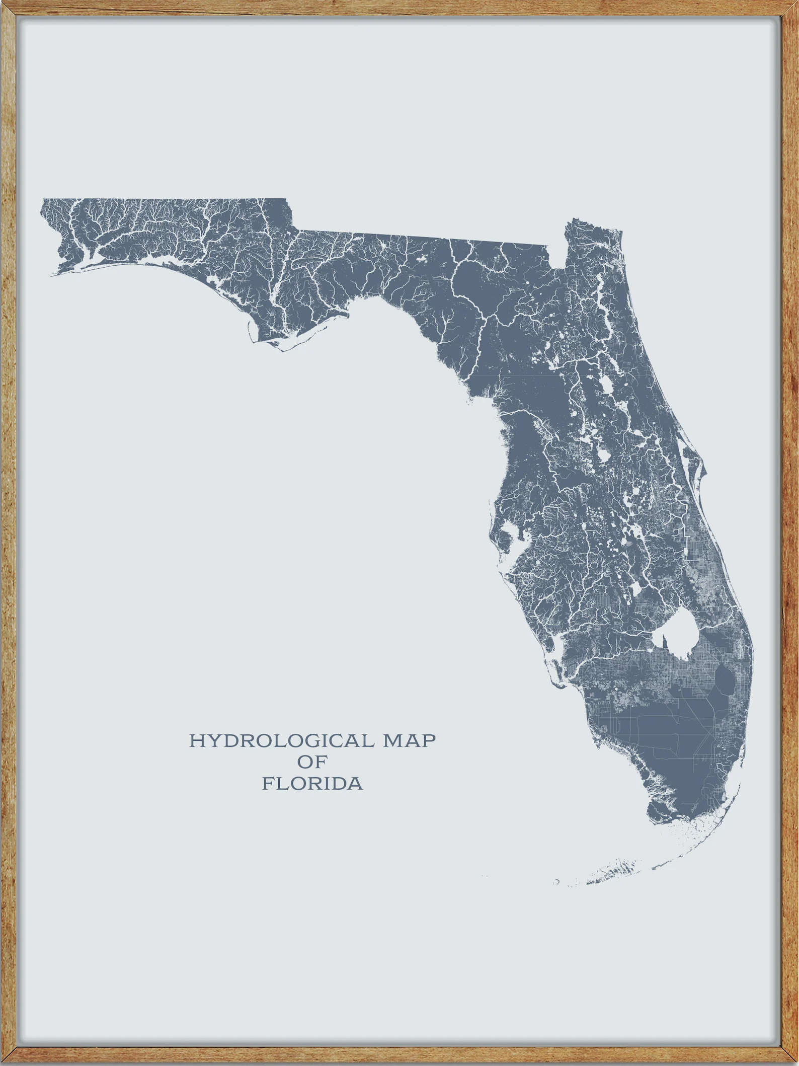
Rivers
St. Johns River
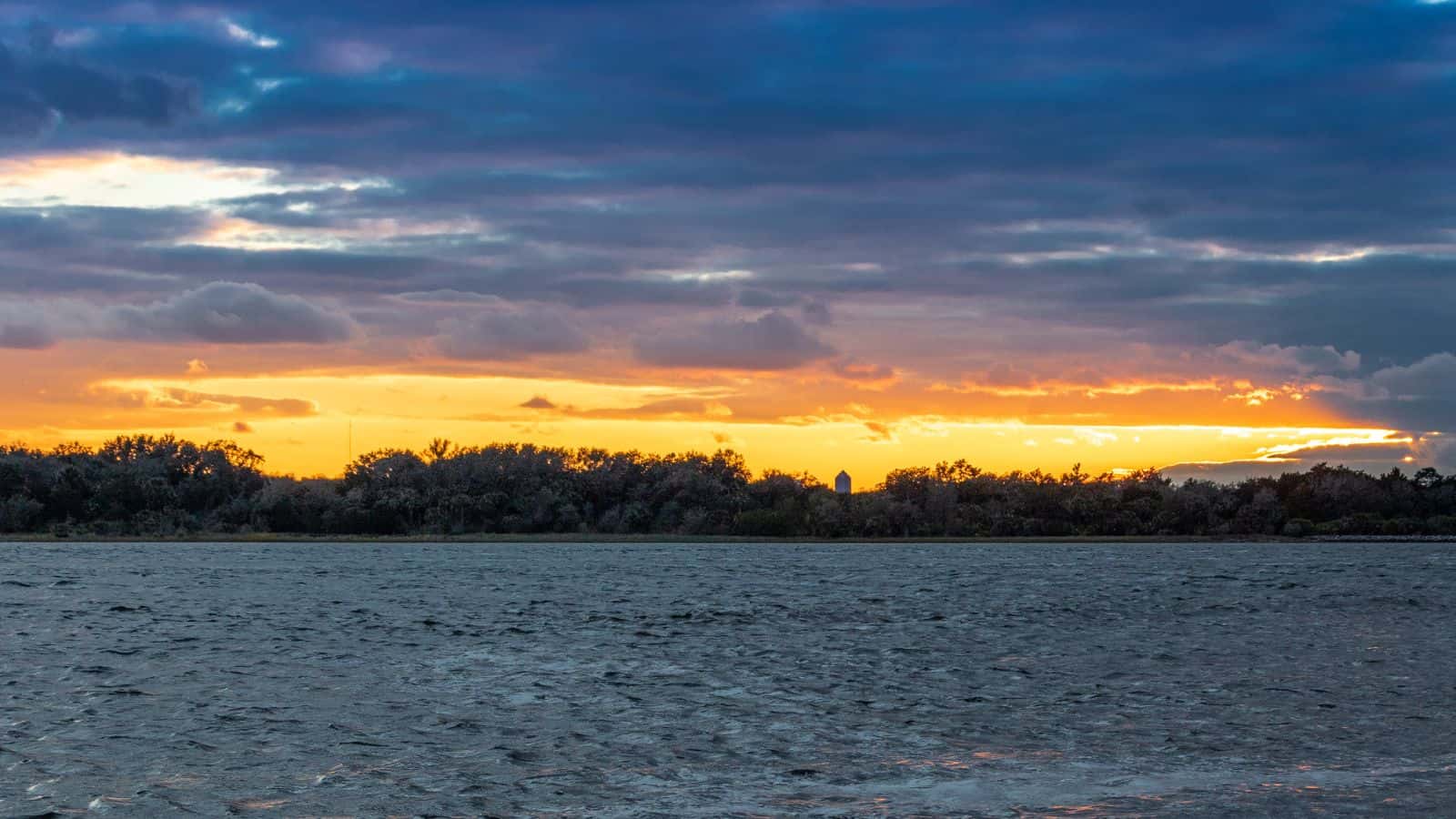
The St. Johns River, the longest river in Florida and the most significant for commercial and recreational use, flows north for 310 miles, winding through or bordering twelve counties. Although Florida was the location of the first permanent European settlement in what would become the United States, much of Florida remained an undeveloped frontier into the 20th century.
With the growth of population, the St. Johns, like many Florida rivers, was altered to make way for agricultural and residential centers, suffering severe pollution and redirection that has diminished its ecosystem. The St. Johns, named one of 14 American Heritage Rivers in 1998, was number 6 on a list of America’s Ten Most Endangered Rivers in 2008, and restoration efforts are underway for the basins around the St. Johns as Florida’s population continues to increase.
Suwannee River

The Suwannee River is a wild blackwater river, about 246 miles long, running through south Georgia southward into Florida in the southern United States. The headwaters of the Suwannee River are in the Okefenokee Swamp in the town of Fargo, Georgia, running southwestward into the Florida Panhandle, then dropping in elevation through limestone layers into a rare Florida whitewater rapid.
The river ends and drains into the Gulf of Mexico on the outskirts of Suwannee, and is the site of the prehistoric Suwanee Straits that separated the Florida peninsula from the Florida panhandle and the rest of the continent.
Apalachicola River
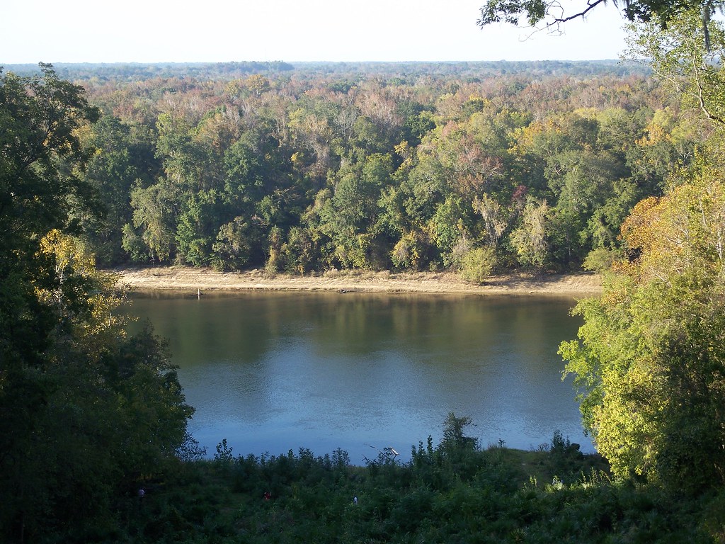
The Apalachicola River is a 160-mile-long river in the state of Florida, with a large watershed known as the Apalachicola, Chattahoochee, and Flint (ACF) River Basin, which drains an area of approximately 19,500 square miles into the Gulf of Mexico.
Its name comes from Apalachicola Province, an association of Native American towns located on what is now the Chattahoochee River. The Spanish included what is now called the Chattahoochee River as part of one river, calling all of it from its origins in the southern Appalachian foothills down to the Gulf of Mexico the Apalachicola.
Peace River
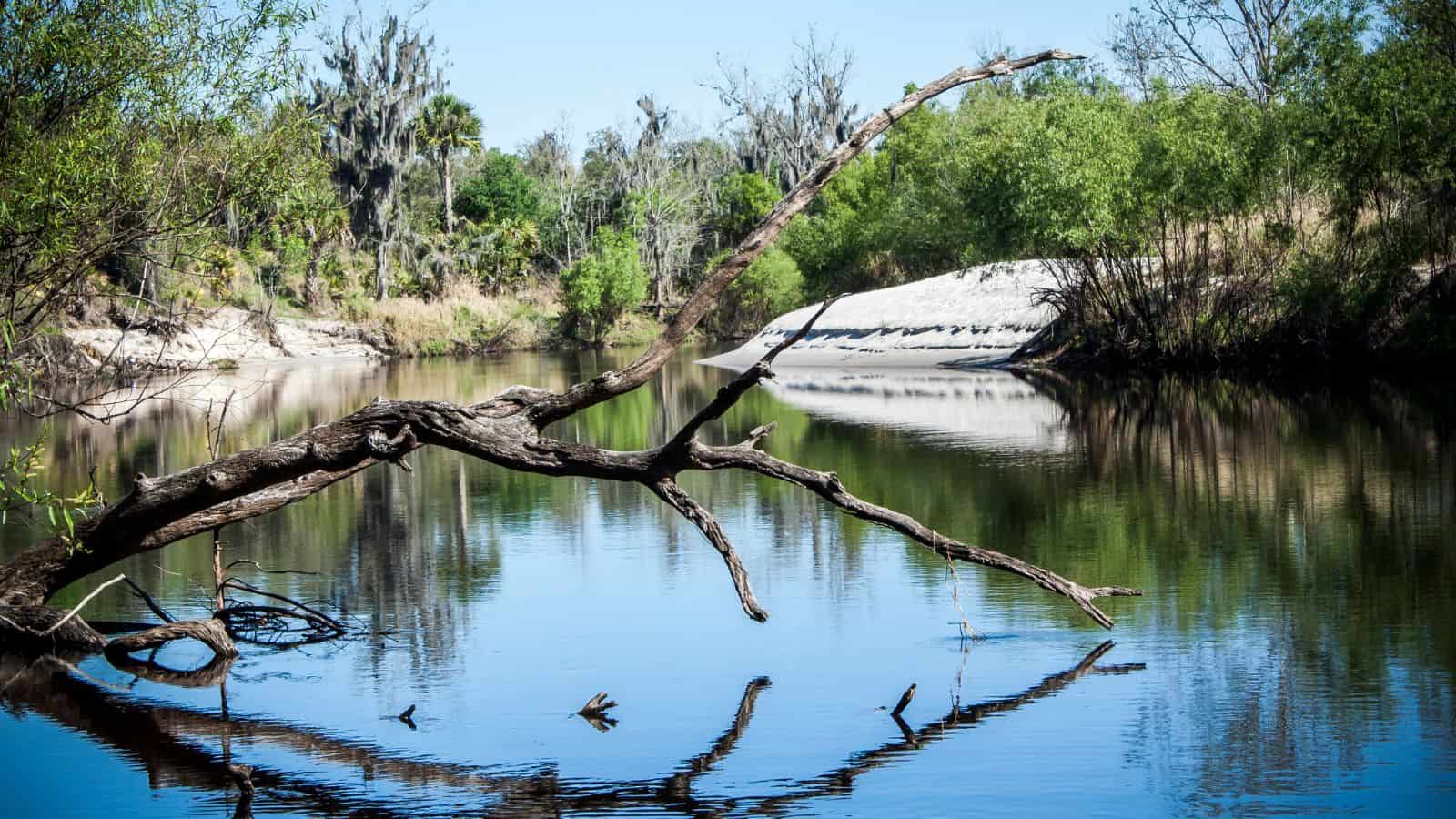
The Peace River is a 106-mile-long river in the southwestern part of the Florida peninsula, originating at the juncture of Saddle Creek and Peace Creek northeast of Bartow in Polk County and flowing south through Fort Meade (Polk County) Hardee County to Arcadia in DeSoto County and then southwest into the Charlotte Harbor estuary at Punta Gorda in Charlotte County.
Freshwater from the Peace River is vital to maintain the delicate salinity of Charlotte Harbor which hosts several endangered species, as well as commercial and recreational harvests of shrimp, crabs, and fish. The river is also popular for canoeing and fossil hunting, with several campgrounds and canoe rental operations catering to fossil hunters, and the northern watershed of the Peace River comprises an area known as the Bone Valley, where many Pleistocene and Miocene fossils have been found.
Kissimmee River

The Kissimmee River is a river in south-central Florida that forms the north part of the Everglades wetlands area, beginning at East Lake Tohopekaliga south of Orlando and flowing south through Lake Kissimmee into the large, shallow Lake Okeechobee.
Hurricane-related floods in 1947 prompted channelization of the meandering lower stretch, completed by 1970, which reduced wetland habitat and worsened pollution. However, efforts since the 1990s have partially restored the river’s original state and revitalized the ecosystem, as part of the broader restoration of the Everglades.
Withlacoochee River
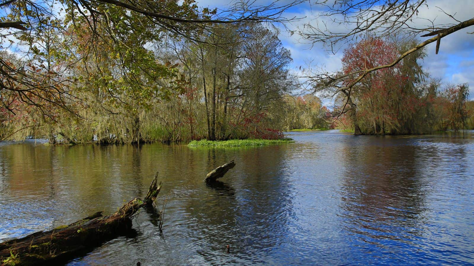
The Withlacoochee River or Crooked River is a 141-mile-long river in central Florida, originating in the Green Swamp, east of Polk City, flowing west, then north, then northwest, and finally west again before emptying into the Gulf of Mexico near Yankeetown. It is believed to have been named after the Withlacoochee River in the northern part of the state, near the border with Georgia.
The river flows through Pasco and Hernando counties and then forms part of the boundary between Hernando County and Sumter County and all of the boundary between Citrus County and Sumter County, between Citrus County and Marion County and between Citrus County and Levy County (including Lake Rousseau), with the largest city close to the river being Dade City.
Santa Fe River

The Santa Fe River is a 75-mile-long river in northern Florida, with its watershed spreading across southern Columbia, southern Suwannee, western Bradford, far southern Baker, Union, northern and eastern Gilchrist, and northern Alachua counties. The river is usually a slow-flowing river, with dissolved tannins giving it a dark-brown color.
The Santa Fe River is typical of many rivers in karst regions in that it completely disappears underground and then reappears 5 kilometers downstream, with springs like Gilchrist Blue, Ginnie, Hornsby, Lily, Poe, and Rum Island springs located at the banks of the river, mostly downstream of the river’s reappearance above ground level.
Escambia River
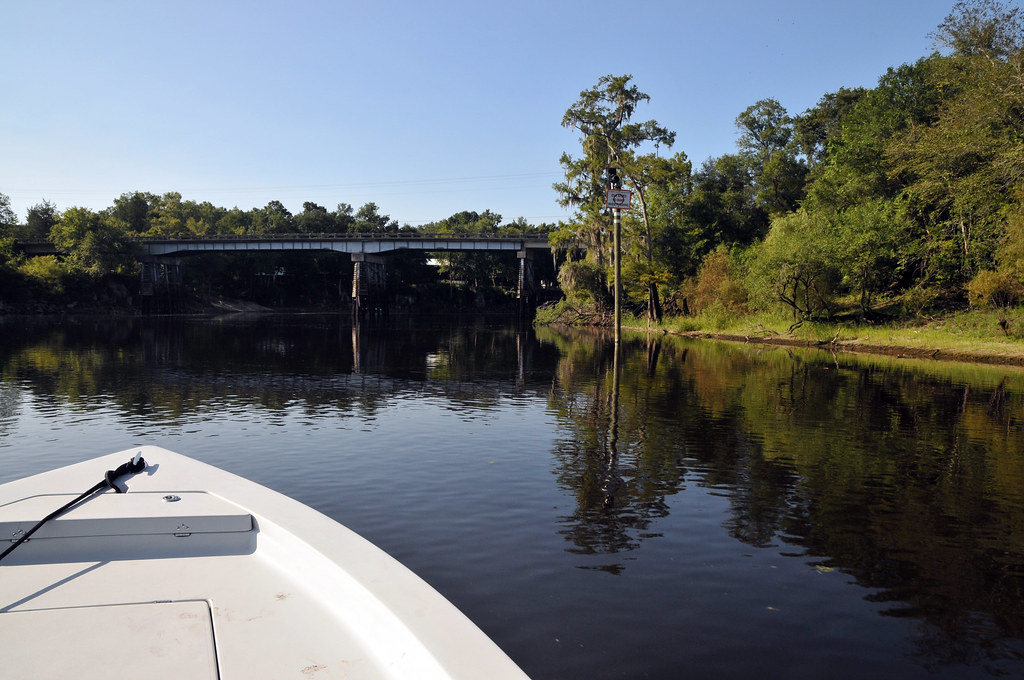
The Conecuh River and Escambia River are a single 258-mile-long river in the southern United States, flowing from Alabama through Florida into the Gulf of Mexico, with the Conecuh River rising near Union Springs, Alabama and flowing 198 miles in a general southwesterly direction into Florida near the town of Century.
The river’s name changes from the Conecuh to the Escambia at the junction of Escambia Creek, 1.2 miles downstream from the Florida-Alabama line. After this point, the Escambia River flows 60 miles south to Escambia Bay, an arm of Pensacola Bay.
Chipola River
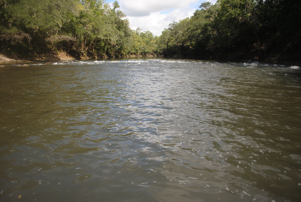
The Chipola River is a 92.5-mile-long tributary of the Apalachicola River in western Florida, flowing through present-day Jackson, Calhoun, and Gulf counties, and part of the ACF River Basin watershed.
The river flows through the Dead Lakes State Recreation Area just before reaching its mouth at the confluence with the Apalachicola, with the Dead Lakes formed when the Apalachicola deposited sand bars blocking the mouth of the Chipola. The Chipola River flows for several miles south from the Dead Lakes, parallel to the Apalachicola River, before reaching its confluence with the larger river.
Ochlockonee River

The Ochlockonee River is a fast-running river, except where it has been dammed to form Lake Talquin in Florida, originating in Georgia and flowing for 206 miles before terminating in Florida.
The river forms the western boundaries of Leon County and Wakulla County and the eastern boundaries of Gadsden County, Liberty County, and Franklin County in Florida, flowing through the Red Hills, the Jackson Bluff Dam, Talquin State Forest, Lake Talquin State Park, and the Apalachicola National Forest, and past Ochlockonee River State Park, where it is tidally influenced and a mixture of fresh, brackish, and salt water, on the way to its terminus in Ochlockonee Bay. This then empties into Apalachee Bay, with tidal influences extending upstream over 15 miles from the river’s mouth.
Indian River

The Indian River is a 121-mile-long brackish lagoon in Florida, forming part of the Indian River Lagoon system and the Atlantic Intracoastal Waterway, and was originally named Rio de Ais after the Ais Indian tribe, who lived along the east coast of Florida, before being given its current name.
The river extends southward from the Ponce de Leon inlet in New Smyrna Beach in Volusia County and across the Haulover Canal and along the western shore of Merritt Island, with the Banana River flowing into the Indian River on the island’s south side, and continuing southward to St. Lucie Inlet. At certain seasons of the year, bridges have tended to impede the flow of gracilaria, resulting in an odor of hydrogen sulfide in the area.
Caloosahatchee River

The Caloosahatchee River is a 67-mile-long river on the southwest Gulf Coast of Florida, draining rural areas on the northern edge of the Everglades, east of Fort Myers, forming a tidal estuary along most of its course, and an important link in the Okeechobee Waterway system of southern Florida.
The river issues from Lake Hicpochee, in southeastern Glades County, approximately 10 miles west of Clewiston, flows west-southwest past LaBelle, broadens as it nears the gulf, passing Fort Myers and Cape Coral, and enters the Gulf of Mexico 10 miles southwest of Fort Myers in San Carlos Bay, protected by Sanibel Island.
However, in 2013, heavy rains in southern Florida resulted in high runoff into Lake Okeechobee, forcing the United States Army Corps of Engineers to release large volumes of polluted water from the lake through the St. Lucie River estuary to the east and the Caloosahatchee River estuary to the west, resulting in ecological damage.
St. Marys River
The St. Marys River is a 126-mile-long river forming a portion of the border between Georgia and Florida, rising as a tiny stream, River Styx, flowing from the western edge of Trail Ridge, the geological relic of a barrier island/dune system, and into the southeastern Okefenokee Swamp.
It then flows south, then east, then north, then east-southeast, finally emptying its waters into the Atlantic, near St. Marys, Georgia, and Fernandina Beach, Florida. The river was known to the Indians of the area as Thlathlothlaguphka or Phlaphlagaphgaw, meaning “rotten fish,” and was named the Seine by French explorer Jean Ribault when he encountered it in 1562.
Lakes
Lake Kissimmee

Lake Kissimmee is a lake located about 15 mi east of Lake Wales, Florida, USA, almost entirely in Osceola County, but the western shore, and a small part of the lake, is in Polk County.
The lake is rich with wildlife, including bald eagles, white-tailed deer, alligators, ospreys, bobcats, turkeys, and sandhill cranes, and the Joe Overstreet Road access to the lake is an internationally known area for birdwatching, with sandhill cranes, introduced whooping cranes, bald eagles, black vultures, and shorebirds prominent. Lake Kissimmee State Park is another main attraction, with its “cow camp” where visitors can learn about 1876-era Florida cowboys.
Lake Okeechobee

Lake Okeechobee, also known as Florida’s Inland Sea, is the largest freshwater lake in Florida and the tenth largest natural freshwater lake among the 50 states of the United States, with an area of 730 square miles and an average depth of only 9 feet, making it exceptionally shallow for a lake of its size.
The lake is too large to see across, giving it the feel of an ocean, and is divided between Glades, Okeechobee, Martin, Palm Beach, and Hendry counties, with all five counties meeting at one point near the center of the lake. The Kissimmee River, located directly north of Lake Okeechobee, is the lake’s primary source.
Lake Apopka

Lake Apopka is the fourth largest lake in Florida, located 15 miles northwest of Orlando, mostly within the bounds of Orange County, although the western part is in Lake County.
The lake is fed by a natural spring, rainfall, and stormwater runoff, and water from Lake Apopka flows through the Apopka-Beauclair Canal and into Lakes Beauclair and Dora, then into Lake Eustis, Lake Griffin, and finally northward into the Ocklawaha River, which flows into the St. Johns River.
Lake George
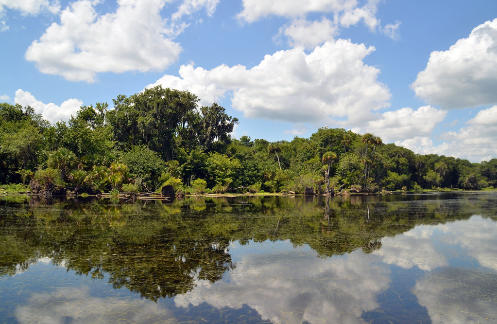
Lake George, also known as Lake Welaka, is a broad and shallow brackish lake on the St. Johns River in Florida, flowing out of the lake at the north end at Rocky Point, with Salt Cove to the west, taking the flow from Salt Creek, and Lisk Point just south of Salt Cove, named for a Dr. Lisk who built a house near the point.
The lake is the second largest in Florida after Lake Okeechobee, and it was the third largest lake behind Lake Apopka before the conversion of the littoral zone on the northern side of Lake Apopka to farm fields in the previous century reduced its surface area.
The lake was named Lake George by John Bartram, the royal botanist in America to King George III, in honor of his king, while the name Lake Welaka was taken from “Welaka,” meaning “chain of lakes,” the name for the St. Johns River in the language of the Timucua, who inhabited the region prior to European settlement.
Lake Seminole

Lake Seminole is a freshwater lake located in the city of Seminole, about 20 miles west of Tampa, and is the second largest lake in Pinellas County, with a surface area of 700 acres. Once a tidal estuary, Lake Seminole was created in the 1940s by closing the upper portion of Long Bayou, and its watershed is unusually small for a lake of its size, draining only approximately 5.5 miles of the county, in mostly developed Seminole and Largo.
Due to the low volume of water and the nutrient and pollutant-rich drainage from the urbanized area surrounding the lake, water quality has been a concern, with the county developing the Lake Seminole Watershed Management Plan to protect water quality and habitat.
Lake Istokpoga

Lake Istokpoga is a freshwater lake in Highlands County, Florida, with an area of 26,762.9 acres, fed by two creeks, Arbuckle Creek and Josephine Creek, and is considered the fifth largest lake in the state of Florida, despite being very shallow, with an average depth of only 4 feet and a maximum depth of 10 feet.
Boating and fishing are popular activities at the lake, with at least half a dozen fish camps available for fishing trips, cabins, and overnight stays, and five public boat ramps and two public parks on the lake’s north side and southeast corner.
Local legend has it that the word Istokpoga is of the Seminole language meaning “a lake where someone was killed in the water” because a group of Seminole Indians attempted to cross the lake and were bogged in the mire and swallowed by whirlpools.

