Lamoille Canyon Road
Nevada
20.1 miles
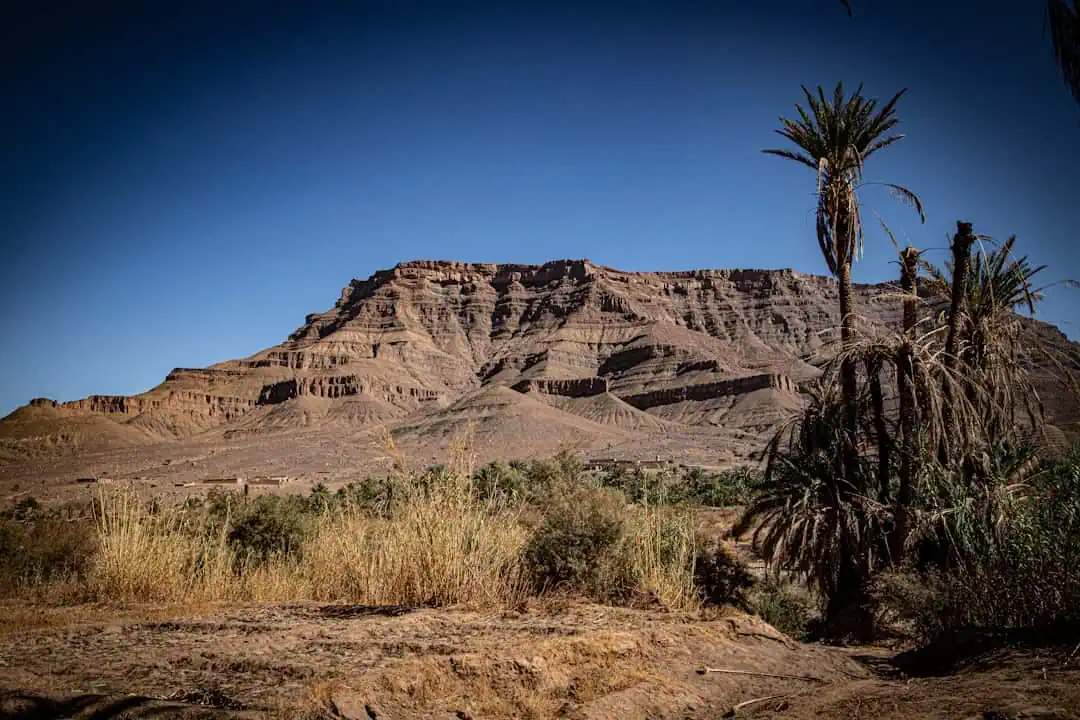
Lamoille Canyon Road carves 20.1 miles into the heart of Nevada’s Ruby Mountains, revealing a landscape so striking it’s earned the range its nickname: the Alps of Nevada. This state scenic byway climbs from sagebrush flats into a glacially carved canyon where towering granite walls rise thousands of feet on either side, alpine meadows burst with wildflowers, and cascading waterfalls catch the light.
The road ends at Roads End Trailhead, the gateway to the Ruby Mountains Wilderness and the popular Island Lake and Liberty Lake hikes. Along the way, pull off at Thomas Canyon Campground for a short trail into a side canyon, or stop at the Terraces picnic area where interpretive signs explain the geology carved by ancient glaciers. Keep your eyes open for mountain goats navigating the cliffs above and mule deer grazing the meadows below.
Allow one to two hours for the round-trip drive, more if you plan to hike or photograph the canyon at golden hour. The best time to visit is late June through September, when the road is fully open and wildflowers carpet the high meadows. Fall brings aspen groves blazing gold against dark canyon walls — a scene worth the detour alone.
Explore Nearby
- South Fork State Recreation Area — State Park in Nevada
- South Fork Canyon Special Recreation Management Area — Public Land in Nevada
- Elko District Office – Tuscarora — Public Land
- Wild Horse State Recreation Area — State Park in Nevada
Photos

Nearby Discoveries
5 places to explore within 30 miles
Lamoille Canyon Road
0 miles away · 4.9 ★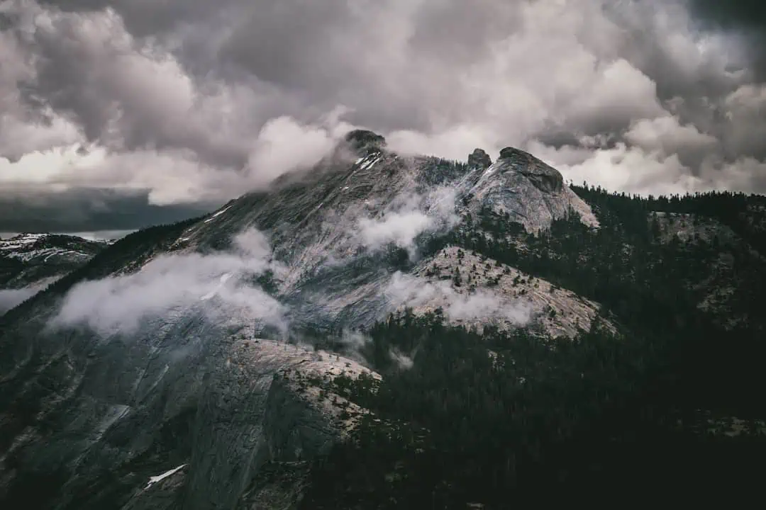
South Fork State Recreation Area
19.9 miles away
South Fork Canyon Special Recreation Management Area
19.9 miles away · 4.5 ★
Elko District Office – Tuscarora
25.9 miles away