Lamoille Canyon Road
Nevada
20.1 miles
Lamoille Canyon Road climbs twelve miles into the Ruby Mountains of northeastern Nevada, often called the Alps of Nevada for their dramatic glacially carved peaks and lush alpine meadows. This paved scenic route begins at the small community of Lamoille and ascends through a stunning U-shaped glacial valley to Roads End, a trailhead at 8,800 feet elevation in the Humboldt-Toiyabe National Forest.
The drive reveals Nevada’s most unexpected landscape — towering granite peaks rising above 10,000 feet, cascading waterfalls fed by snowmelt, groves of aspen and mountain mahogany, and wildflower meadows that rival anything in the Rockies. Thomas Canyon and Right Fork campgrounds provide developed camping along the route, with trout-filled creeks running through both sites.
At Roads End, the Ruby Crest National Recreation Trail begins its 35-mile traverse along the spine of the range, passing alpine lakes and mountain cirques. Shorter day hikes from the trailhead reach Island Lake and Lamoille Lake within a few miles. Wildlife watchers may spot mountain goats on the high cliffs, along with mule deer, golden eagles, and the occasional mountain lion track.
The road typically opens in late May or June after snowplows clear winter accumulation and closes again with heavy snow in November. Fall brings spectacular aspen color, usually peaking in late September, drawing photographers from across the region. The canyon faces east, so morning light illuminates the peaks most dramatically.
Explore Nearby
- South Fork State Recreation Area — State Park in Nevada
- South Fork Canyon Special Recreation Management Area — Public Land in Nevada
- Elko District Office – Tuscarora — Public Land
- Wild Horse State Recreation Area — State Park in Nevada
Photos

Nearby Discoveries
5 places to explore within 30 miles
Lamoille Canyon Road
0 miles away · 4.9 ★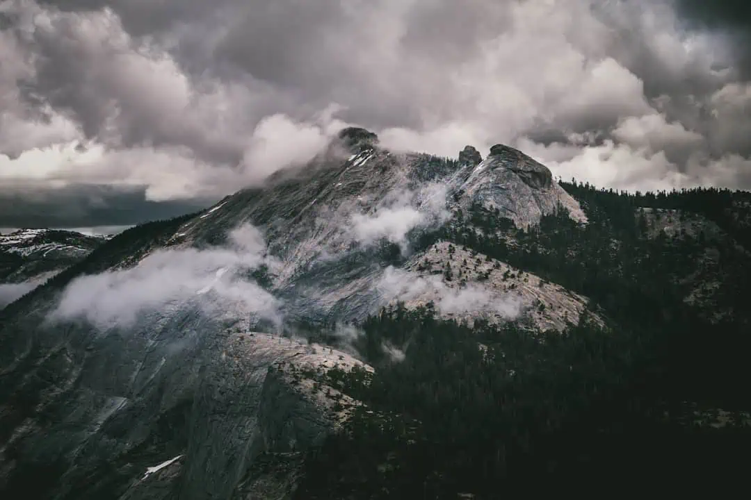
South Fork State Recreation Area
19.9 miles away
South Fork Canyon Special Recreation Management Area
19.9 miles away · 4.5 ★
Elko District Office – Tuscarora
25.9 miles away