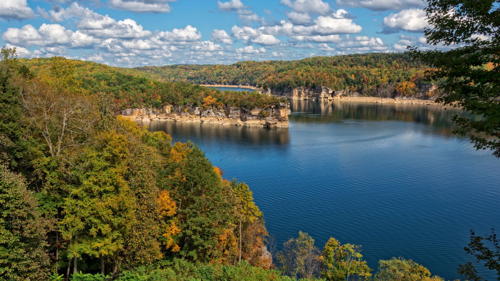
Amid the rolling hills and rugged landscapes of the Mountain State, a distinct narrative unfolds – a story etched not only in its historical landmarks but also in the meandering courses of its rivers and the tranquil depths of its lakes. West Virginia, celebrated for its natural beauty and Appalachian spirit, cradles within its embrace a hidden treasure – a network of waterways that mirror its legacy of resilience and unity.
Like whispered conversations in its cozy cabins, West Virginia’s rivers and lakes carry tales of exploration, industry, and the unwavering bond between its people and the land. In this article, we embark on a journey that traces the pathways of West Virginia’s rivers and immerses in the reflective surfaces of its lakes.
Join us as we unveil the significance of these aqueous chapters, uncovering their role in shaping the state’s identity, culture, and resourcefulness, and revealing how water has carved its mark onto the very essence of the Mountain State’s captivating narrative.
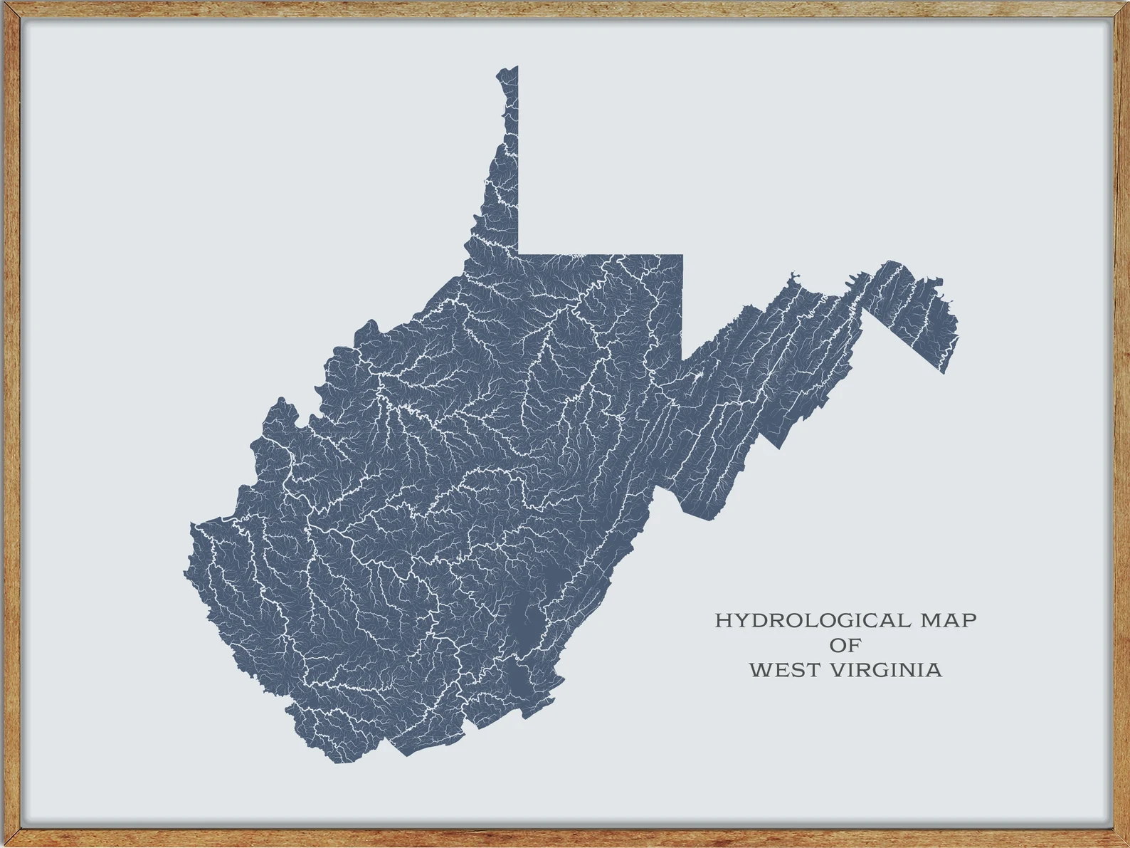
Printable West Virginia Lakes and Rivers Map
Rivers
Kanawha River
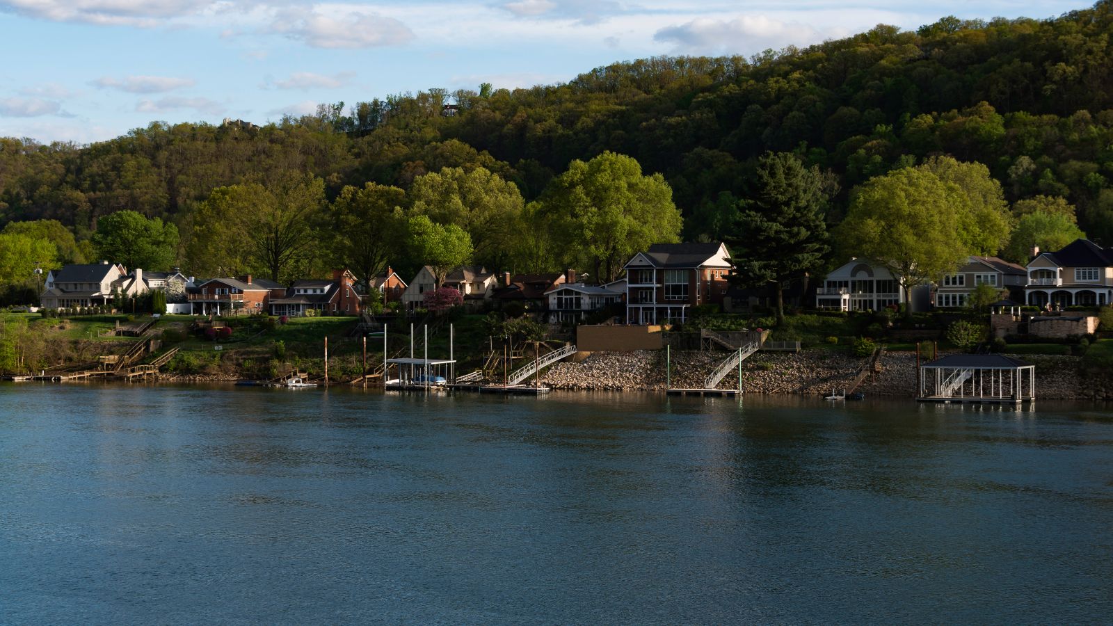
The Kanawha River in West Virginia is the largest inland waterway in the state, spanning approximately 97 miles and flowing through Fayette, Kanawha, Putnam, and Mason counties. Its watershed has been an important industrial region since the early 19th century.
The river is formed by the confluence of the New and Gauley Rivers at Gauley Bridge and flows northwest through Charleston and St. Albans before joining the Ohio River at Point Pleasant. An environmental overview of the watershed was published in 2000, highlighting natural and human factors affecting water quality.
Potomac River
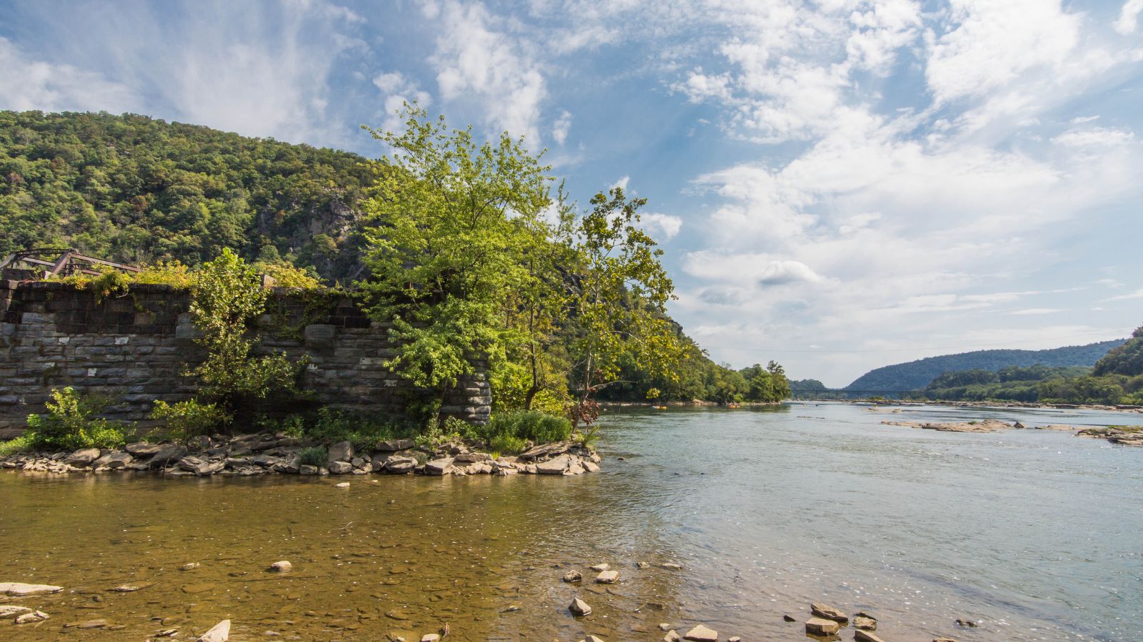
The Potomac River is a major river in the Mid-Atlantic region of the United States, flowing from the Potomac Highlands in West Virginia to the Chesapeake Bay in Maryland. With a length of 405 miles and a drainage area of 14,700 square miles, the Potomac River is the fourth-largest river along the East Coast of the United States and the 21st-largest in the country.
The river forms part of the borders between Maryland and Washington, D.C., and West Virginia and Virginia, with the North Branch Potomac River considered part of Maryland except for a small portion of its headwaters in West Virginia, and the South Branch Potomac River lying completely within the state of West Virginia except for its headwaters in Virginia.
Elk River
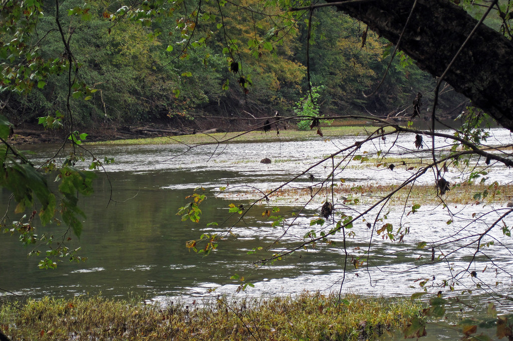
The Elk River, a tributary of the Kanawha River, is a 172-mile-long river in central West Virginia. It is formed by the confluence of the Big Spring Fork and the Old Field Fork near Slatyfork and follows a westward course across the Allegheny Plateau, passing through several counties and towns before joining the Kanawha River at Charleston.
The river is popular for its coldwater trout stream above Sutton Lake and for its high-gradient warmwater fishery below the lake, known for muskellunge, walleye, and smallmouth bass fishing. Additionally, the Elk River serves as the source of water for 1,500 miles of pipeline that supply water to customers in central and southwestern West Virginia.
Gauley River
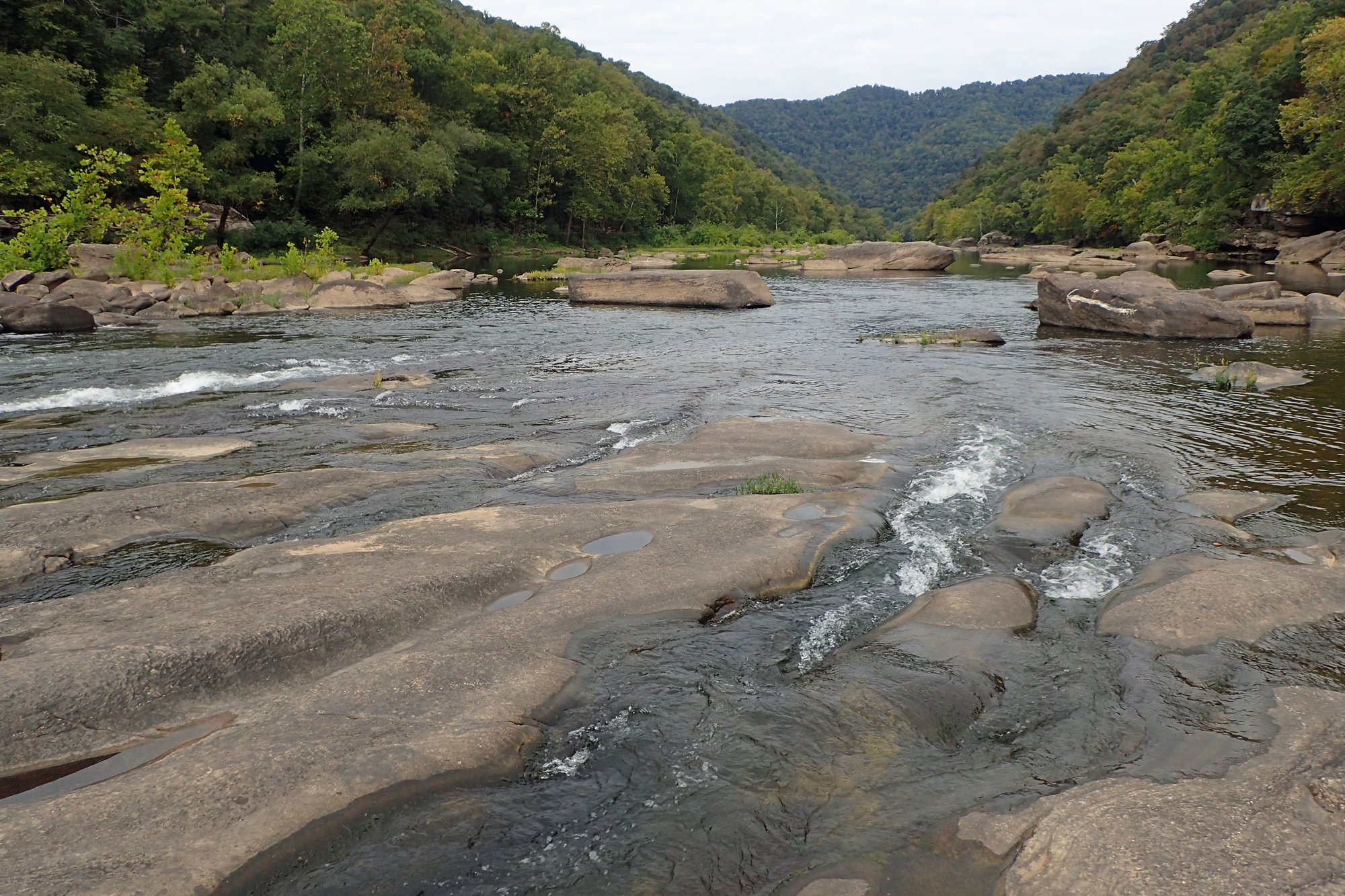
The Gauley River is a 105-mile-long river in West Virginia, merging with the New River to form the Kanawha River, a tributary of the Ohio River. The river is known for its recreational whitewater areas, including those in the Gauley River National Recreation Area downstream of the Summersville Dam.
The Gauley River rises in the Monongahela National Forest on Gauley Mountain in Pocahontas County as three streams, the North, Middle, and South Forks, before flowing west-southwestwardly through Webster, Nicholas, and Fayette counties. It passes through several towns, including Camden-on-Gauley and Summersville, before joining the New River at Gauley Bridge.
Greenbrier River

The Greenbrier River in southeastern West Virginia is a 162-mile-long tributary of the New River, draining an area of 1,656 square miles, and is one of the longest rivers in the state. It is formed at Durbin in northern Pocahontas County by the confluence of the East Fork and West Fork of Greenbrier River, both of which are short streams rising at elevations exceeding 3,300 feet.
The river flows generally south-southwest through Pocahontas, Greenbrier, and Summers Counties, passing through several communities including Cass, Marlinton, Hillsboro, Ronceverte, Fort Spring, Alderson, and Hinton before joining the New River. The river flows between the Yew Mountains to the west and the Allegheny Mountains to the east.
Guyandotte River

The Guyandotte River in southwestern West Virginia is a 166-mile-long tributary of the Ohio River, draining an area of the unglaciated Allegheny Plateau.
The river is formed by the confluence of three streams, Winding Gulf, Stonecoal Creek, and the Devils Fork, in southwestern Raleigh County and flows initially west-northwestwardly into Wyoming and Mingo counties. It then turns briefly northward in Mingo County and enters Logan County, where it turns north-northwestwardly for the remainder of its highly meandering course through Logan, Lincoln, and Cabell counties before joining the Ohio River from the south at Huntington, about 5 miles east of the city’s downtown.
The river was named after the French term for the Wendat Native Americans and is part of the Mississippi River watershed via the Ohio River.
Little Kanawha River
The Little Kanawha River in western West Virginia is a 169-mile-long tributary of the Ohio River, draining an area of 2,320 square miles on the unglaciated portion of the Allegheny Plateau. The river rises in southern Upshur County and follows a meandering course generally west-northwestwardly through several counties, including Lewis, Braxton, Gilmer, Calhoun, Wirt, and Wood, past several communities such as Burnsville, Glenville, Grantsville, and Parkersburg before joining the Ohio River.
The Little Kanawha River served as an important commercial water route in the early history of West Virginia, particularly in the logging and petroleum industries. Additionally, a U.S. Army Corps of Engineers dam caused the river to form Burnsville Lake, completed in 1976 at a cost of $56.2 million, about 3 miles upstream of Burnsville.
Cheat River
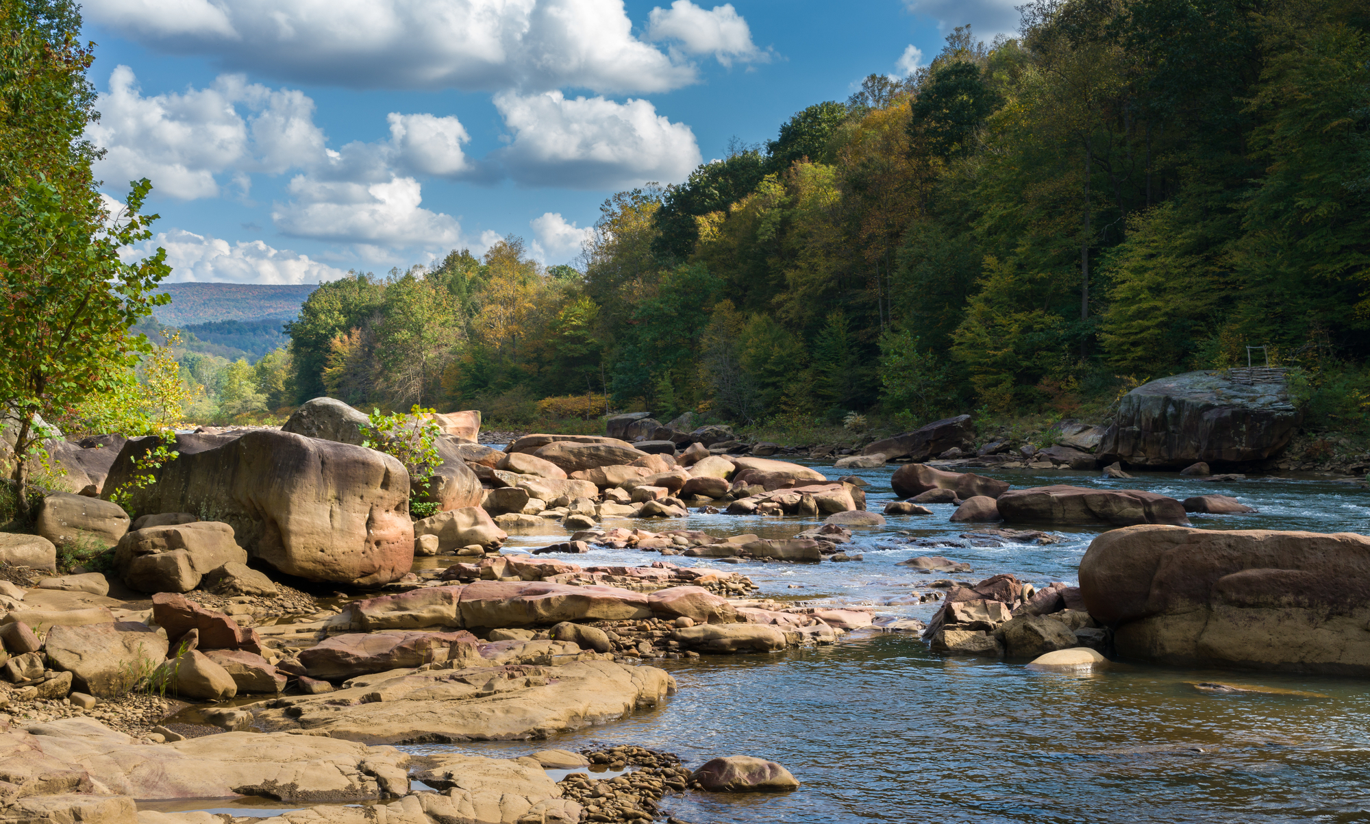
The Cheat River is a 78.3-mile-long tributary of the Monongahela River in eastern West Virginia and southwestern Pennsylvania, forming at Parsons, West Virginia, by the confluence of Shavers Fork and Black Fork. The river flows generally northward through Tucker and Preston counties, past the towns of Rowlesburg and Albright, and through Cheat Canyon before entering Monongalia County.
A hydroelectric dam just south of the Pennsylvania border causes the river to widen as the Cheat Lake reservoir before flowing for a short distance through southwestern Fayette County, Pennsylvania, and joining the Monongahela River at Point Marion, Pennsylvania. The Cheat remains largely remote with few settlements or developments along its banks, owing to the ruggedness of the surrounding Allegheny Mountains, and is one of the largest undammed watersheds in the eastern United States.
Tygart Valley River
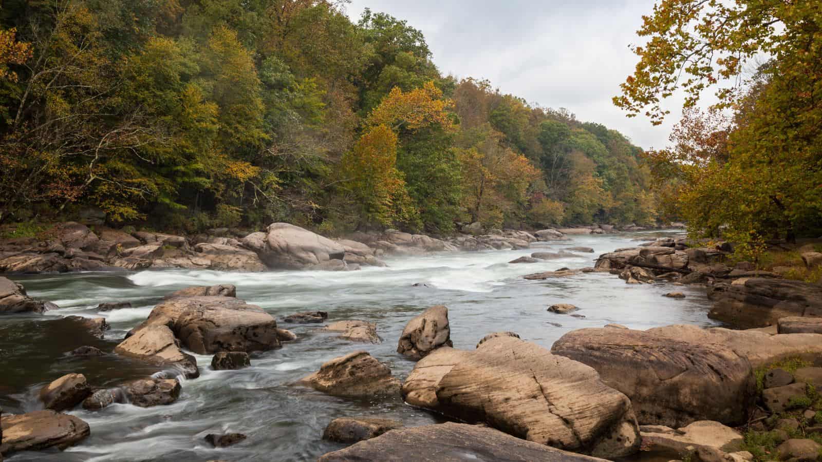
The Tygart Valley River, also known as the Tygart River, is a 135-mile-long principal tributary of the Monongahela River, draining an area of 1,329 square miles in the Allegheny Mountains and the unglaciated portion of the Allegheny Plateau. The river rises in the Allegheny Mountains in Pocahontas County and flows generally north-northwestwardly through several counties, including Randolph, Barbour, Taylor, and Marion.
It passes through several towns, including Huttonsville, Mill Creek, Beverly, Elkins, Belington, Philippi, Arden, and Grafton, before joining the West Fork River to form the Monongahela River at Fairmont. The river was impounded by a U.S. Army Corps of Engineers dam in 1938 to form Tygart Lake just upstream of Grafton, and Valley Falls State Park is located along the river between Grafton and Fairmont.
West Fork River
The West Fork River is a 103-mile-long principal tributary of the Monongahela River, draining an area of 881 square miles on the unglaciated portion of the Allegheny Plateau. The river is formed near Rock Cave in southwestern Upshur County by the confluence of small headwaters tributaries known as Straight Fork and Whites Camp Fork.
It flows north through several counties, including Lewis, Harrison, and Marion, passing through Weston, Clarksburg, Lumberport, Shinnston, Enterprise, Worthington, and Monongah before joining the Tygart Valley River from the west to form the Monongahela River at Fairmont. The West Fork River is locally popular for fishing and is stocked with muskellunge by the West Virginia Division of Natural Resources, and other fish species in the river include carp, catfish, trout, bass, sauger, and walleye.
Cacapon River
The Cacapon River, meaning “Medicine Waters,” is an 81-mile-long shallow river located in the Appalachian Mountains of West Virginia’s Eastern Panhandle region, known for its fishing, boating, wildlife, hunting, and wilderness scenery. The Cacapon River Watershed is made up of three major river segments and many smaller stream watersheds, including the Lost and North River watersheds, and those of many smaller streams for a total of 680 square miles.
The Cacapon River is part of the Potomac River watershed and the Chesapeake Bay watershed, and in recent years, it has become threatened by development, industrial, and agricultural growth, leading to the establishment of the Cacapon Institute in 1985.
Lakes
Sutton Lake
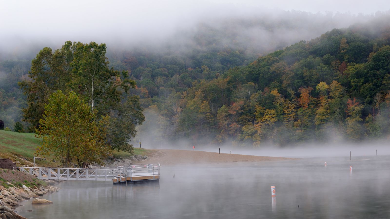
Sutton Lake is a 1,520-acre reservoir on the Elk River in Braxton and Webster counties, West Virginia, located just upstream of Sutton. The lake was authorized by Congress in the Flood Control Act of 1938, and construction of the dam began in 1956 and was completed in 1961.
The dam is 210 feet high, 1,178 feet long, and constructed of concrete, controlling a 537 square mile drainage area, including the upper Elk River and the Holly River. Sutton Dam was built primarily for flood control on the Elk, Kanawha, and Ohio Rivers, and during periods of flooding, water is stored behind the dam, frequently reducing the severity of flooding below the dam.
The lake is 125 feet deep at the dam and winds 14 miles along the Elk River, with many coves along its 40 miles of shoreline, making it a beautiful location for recreation. The U.S. Army Corps of Engineers operates and maintains the dam and project recreation facilities, and restrooms are located at the Project Office and all recreation areas.
Bluestone Lake

Bluestone Lake is a flood control reservoir located on the New River near Hinton, West Virginia, impounding a 10.7-mile stretch of the New and its tributary, the Bluestone River.
The lake is normally approximately 2,040 acres in size, but it can grow to over 36 miles long at a flood control pool. At higher water levels, the lake extends into Giles County, Virginia. Bluestone Lake is a popular location for outdoor recreation, including boating, fishing, hiking, and camping.
Tygart Lake

Tygart Lake is a reservoir situated in the south-central part of Taylor County, with the southern end of the reservoir reaching into northern Barbour County. The lake has the capability to store the equivalent run-off of 4.56 inches of precipitation from the lake’s 1,184 square mile drainage area.
The project’s flood control benefits were demonstrated most notably during the November 1985 floods when it prevented an estimated $195.8 million in damages and lowered flood crests along the Monongahela River by as much as 6.8 feet. Since its completion in 1938, Tygart Dam has prevented flood damages estimated by the Corps to be nearly $1.2 billion, making it an important flood control structure in West Virginia.
Summersville Lake is the largest lake in West Virginia, with 2,700 acres of water and over 60 miles of shoreline at the summer pool water level. The lake is formed by a rock-fill dam (Summersville Dam) on the Gauley River, south of Summersville in Nicholas County, with its maximum depth being 327 feet.
The lake is a popular location for outdoor recreational activities such as fishing, boating, swimming, and camping, and it is also a popular location for scuba diving due to its clear water and underwater attractions.

