Taconite State Trail
Minnesota
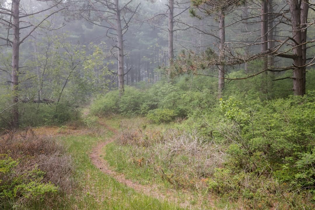
Taconite State Trail stretches roughly 160 miles across northern Minnesota’s Iron Range, connecting Grand Rapids to Ely through some of the state’s most rugged and beautiful terrain. Named for the iron-bearing rock that shaped the region’s history, this multi-use trail cuts through boreal forest, past old mining pits now filled with turquoise water, and along ridgelines with long views of the Superior National Forest.
In winter, the Taconite is a premier snowmobile corridor — well-groomed and well-marked, drawing riders from across the Midwest. Cross-country skiing and snowshoeing are popular on quieter stretches. When the snow melts, sections open to hiking, mountain biking, and horseback riding, though trail conditions vary and some segments are better maintained than others. ATVs are permitted on designated portions.
The trail passes through several small Iron Range towns — Nashwauk, Pengilly, Side Lake — where you can gas up, grab a hot meal, or find a motel room. Dispersed camping is available in adjacent state forest land, and nearby Bear Head Lake and McCarthy Beach State Parks offer developed campgrounds with showers and electric hookups if you want a base camp.
The best window for snowmobiling runs December through March. Summer hikers and bikers should target June through September, keeping in mind that mosquitoes and black flies peak in June and early July.
Come for the trail, but stay alert for moose, wolves, and the kind of dark-sky stargazing you can’t find downstate.
Explore Nearby
- Lake Vermilion Public Islands — Public Land in Minnesota
- Superior National Forest — National Forest in Minnesota
- Edge of the Wilderness Scenic Byway — Scenic Byway in Minnesota
- Boundary Waters Canoe Area Wilderness — Dark Sky Site in Minnesota
- Two Harbors Breakwater Light — Lighthouse in Minnesota
Photos

Nearby Discoveries
6 places to explore within 30 miles
Rice Lake State Park
3.3 miles away
Lake Vermilion Public Islands
10 miles away · 4.8 ★
Lake Vermilion Soudan Underground Mine State Park
10.8 miles away
Iron Range Off-Highway Vehicle State Recreation Area
18.8 miles away
Bear Head Lake State Park
20 miles away