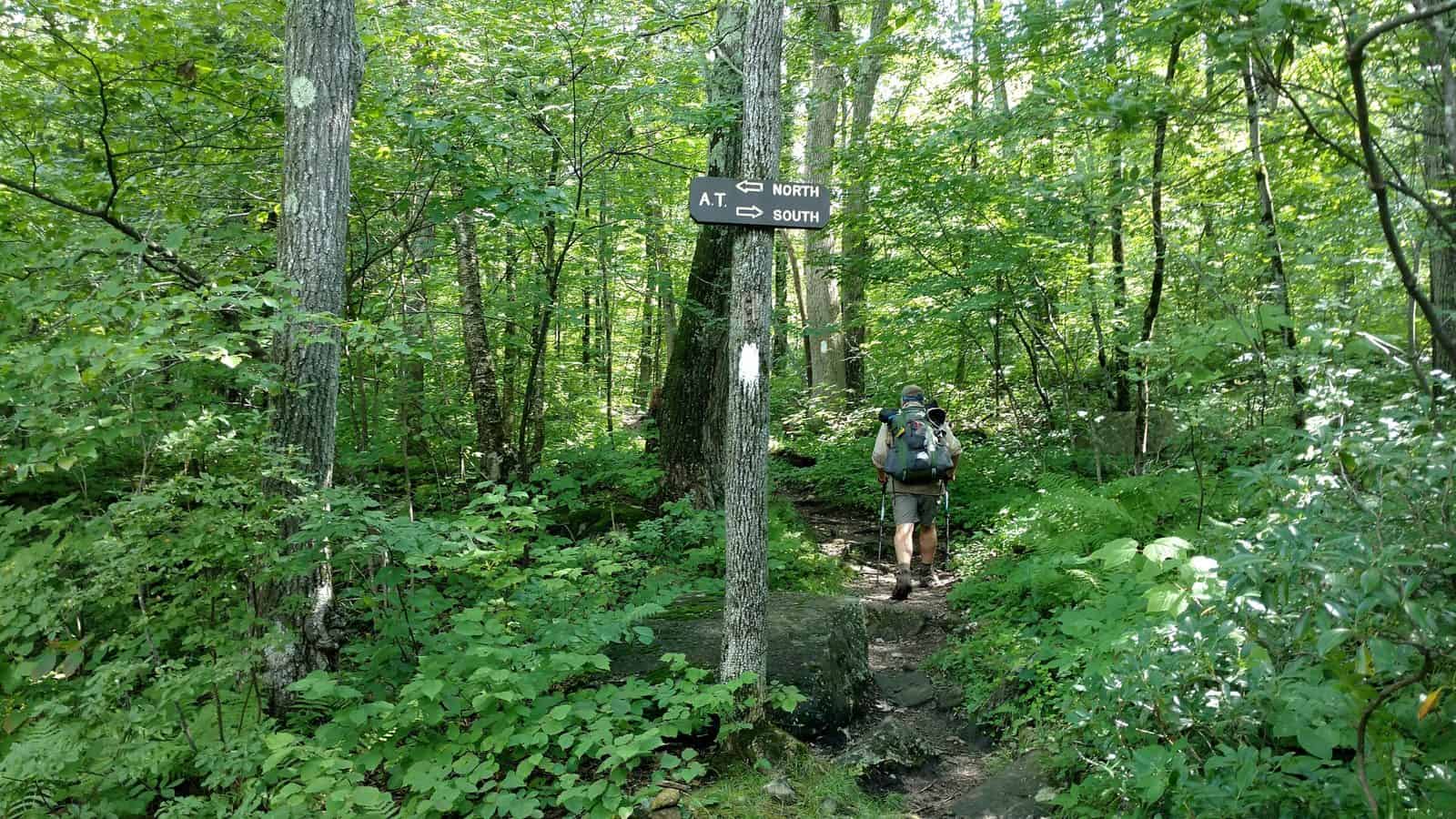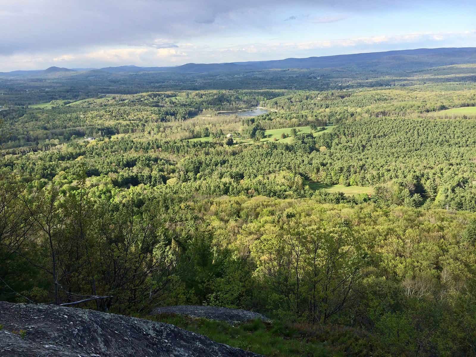
Tucked into the extreme southwestern corner of Massachusetts, Mount Washington State Forest sprawls across 4,619 acres of rugged Berkshire County terrain that feels worlds away from the rest of New England. This is where Massachusetts gets wild — steep ravines, old-growth hemlock groves, and some of the most dramatic elevation changes in the state.
The crown jewel here is Bash Bish Falls, the highest single-drop waterfall in Massachusetts, where water plunges roughly 60 feet into a sparkling pool framed by sheer rock walls. The falls trail is a must-do, but the forest rewards those who push deeper. Miles of hiking trails wind through dense hardwood forests and across rocky ridgelines, with several routes connecting to neighboring Taconic State Park in New York. The South Taconic Trail offers challenging ridge walks with long views into three states.
Birding is excellent in spring and early summer, when warblers and thrushes fill the canopy. Fall transforms the hillsides into a patchwork of orange, crimson, and gold — peak foliage here typically hits in mid-October. Winter brings cross-country skiing and snowshoeing on ungroomed trails for those comfortable navigating backcountry conditions.
The forest sits at elevation, so expect cooler temperatures than the surrounding valleys. Dress in layers even in summer, and bring sturdy footwear — the terrain is rocky and uneven throughout.
Mount Washington State Forest is best suited for visitors who prefer solitude over amenities. Come here to disconnect, explore, and experience one of Massachusetts’ most untamed landscapes.
Explore Nearby
- White Mountain National Forest — National Forest in New Hampshire, Maine
- White Mountain Trail — Scenic Byway in New Hampshire
- Kancamagus Scenic Byway — Scenic Byway in New Hampshire
- Mount Orne Bridge — Covered Bridge in New Hampshire
- Mount Orne Bridge — Covered Bridge in Vermont