
Mahican-Mohawk Trail
Massachusetts (Berkshire, Franklin County)
The Mahican-Mohawk Trail follows an ancient Native American footpath through the rugged hills of western Massachusetts, tracing a route once used by the Mahican and Mohawk peoples to travel between the Connecticut and Hudson River valleys. Spanning portions of Berkshire and Franklin Counties, this historic corridor offers hikers a rare chance to walk in the footsteps of centuries of human history while passing through some of New England’s most striking woodland scenery.
The trail winds through dense hardwood forests of oak, maple, and birch, crossing streams and climbing ridgelines that open to sweeping views of the Deerfield River valley. Hikers will find a mix of moderate and challenging terrain — rocky ascents reward with panoramic overlooks, while lower sections meander through hemlock groves and alongside mossy stone walls left from colonial-era farms.
Key activities include hiking, trail running, wildlife observation, and photography. The trail connects to a broader network of paths in the region, making it a strong base for multi-day backpacking trips through the northern Berkshires. Birdwatchers should keep an eye out for pileated woodpeckers, barred owls, and migrating warblers in spring.
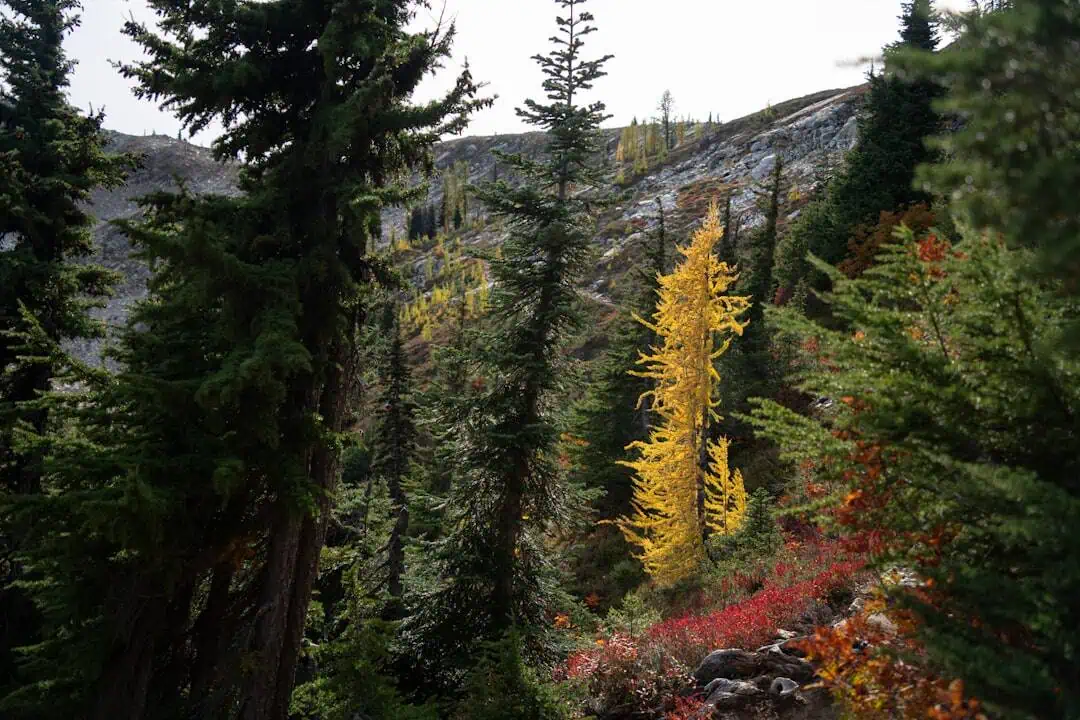
Fall is the standout season here — the hardwood canopy erupts in color from late September through mid-October, and the trail sees fewer crowds than nearby Mount Greylock. Spring wildflower displays along the lower elevations are equally worthwhile.
Wear sturdy boots, carry water, and bring a trail map. Cell service is unreliable along much of the route.
Explore Nearby
- Burkeville Covered Bridge — Covered Bridge in Massachusetts
- Arthur A. Smith Covered Bridge — Covered Bridge in Massachusetts
- Green Mountain National Forest — National Forest in Vermont
- Connecticut River Byway — Scenic Byway in Massachusetts
- Jarvis Island Light — Lighthouse in New Hampshire
Photos
Nearby Discoveries
12 places to explore within 30 miles

Burkeville Covered Bridge
5.4 miles away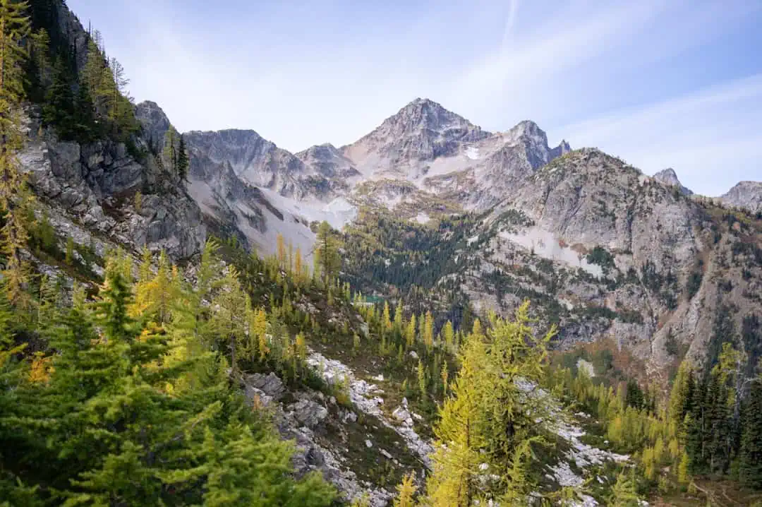
Mount Sugarloaf State Reservation
7 miles away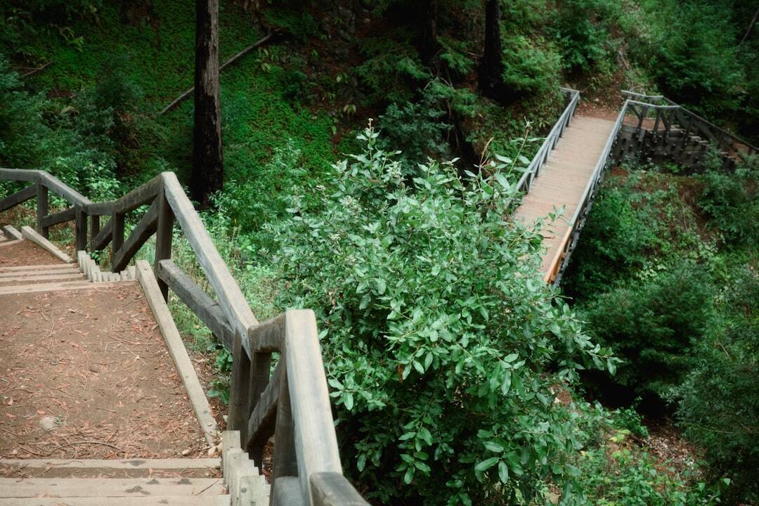
Canalside Rail Trail
7.3 miles away
Nashua River Rail Trail
7.3 miles away
Arthur A. Smith Covered Bridge
8.1 miles away
Bissell Bridge
11.1 miles away
Meadow Brook Wildlife Management Area
12 miles away · 5.0 ★
Wendell State Forest
12.3 miles away
Lake Wyola State Park
12.8 miles away
Kenneth Dubuque Memorial State Forest
13.4 miles away
Sweet Pond State Park
13.9 miles away
