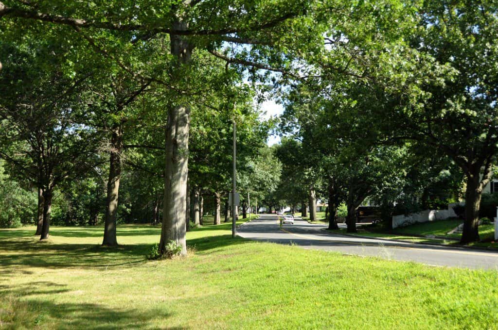
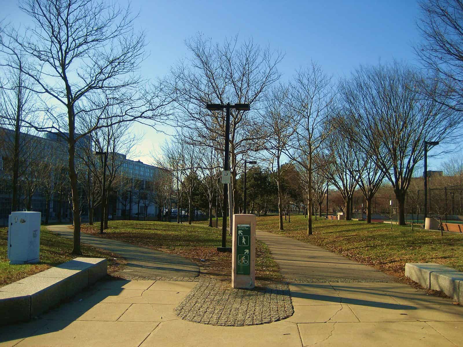
Tucked into Middlesex County just northwest of Boston, Beaver Brook Reservation offers 303 acres of surprising wildness within easy reach of the city. Straddling the Belmont-Waltham line, this state park threads together wooded hillsides, open meadows, and the gentle corridor of Beaver Brook itself — a landscape that feels far more remote than its suburban surroundings suggest.
The reservation’s trail network winds through varied terrain, from rocky ridgelines with filtered views of the Boston skyline to shaded stream-side paths where the forest canopy closes in overhead. Hikers and trail runners appreciate the mix of elevation changes and flat stretches, while the meadow areas draw birdwatchers — especially during spring and fall migration, when warblers and raptors move through the corridor. In winter, the rolling hills make for solid cross-country skiing and snowshoeing when conditions cooperate.
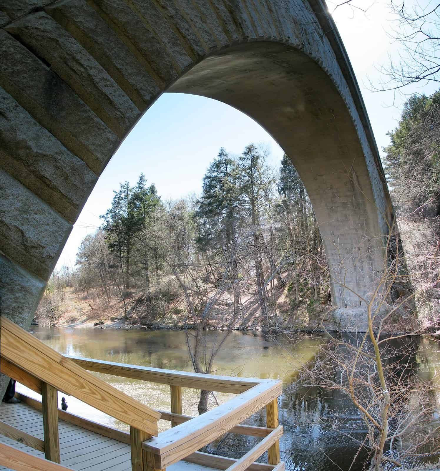
Beaver Brook itself is the quiet star of the park. The waterway cuts through glacial geology, passing small cascades and pooling in spots where you can pause and listen to nothing but moving water. Several stone bridges and remnants of old mill infrastructure hint at the reservation’s history as working land before it became protected open space.
Spring brings wildflower displays along the brook, while fall foliage transforms the hardwood canopy into one of the better leaf-peeping spots on the metro-west fringe. Summer visits are best early or late in the day, when the trails are cooler and the light filters low through the trees.
Explore Nearby
- Kancamagus Scenic Byway — Scenic Byway in New Hampshire
- White Mountain National Forest — National Forest in New Hampshire, Maine
- White Mountain Trail — Scenic Byway in New Hampshire
- Sayres Covered Bridge — Covered Bridge in Vermont
- Greenbanks Hollow Covered Bridge — Covered Bridge in Vermont