
Mt. Carmel Scenic Byway
Utah
The Mt. Carmel Scenic Byway winds through some of southern Utah’s most dramatic red rock country, connecting the eastern entrance of Zion National Park with the small community of Mt. Carmel Junction. This state-designated scenic route delivers an unforgettable journey through towering sandstone cliffs, checkerboard mesa formations, and sweeping canyon vistas that shift from deep crimson to creamy white as you travel.
Highlights along the drive include the iconic Zion-Mt. Carmel Tunnel, a 1.1-mile passage carved directly through solid rock in 1930, and the striking Checkerboard Mesa, where crosshatched patterns etched by wind and water create a geological masterpiece. Pull over at designated viewpoints to take in the layered canyon walls and photograph the ever-changing play of light across the sandstone.
The byway connects travelers to Zion National Park’s less-visited eastern trails and serves as a gateway between Zion and Bryce Canyon, making it a natural link in any southern Utah road trip. Allow one to two hours to drive the route at a leisurely pace with stops.
Spring and fall offer the most comfortable temperatures and golden light, though the rust-colored cliffs glow beautifully under summer’s blue skies as well.
Explore Nearby
- Yuba State Park — State Park in Utah
- Willard Bay State Park — State Park in Utah
- Fishlake National Forest — National Forest in Utah
- Dixie National Forest — National Forest in Utah
- Wildcat Hills Designated Routes — Public Land in Utah
Photos
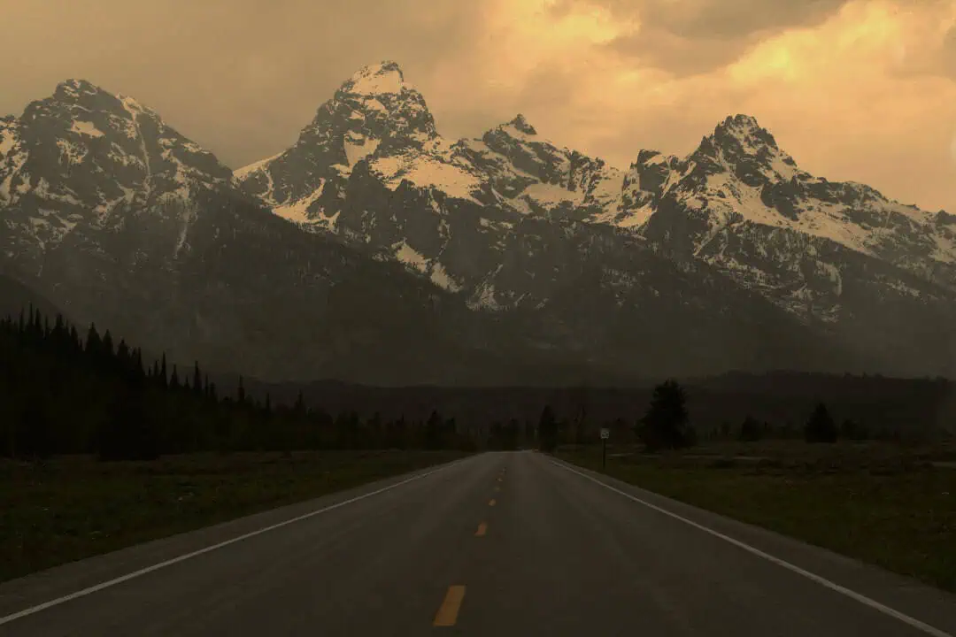
Nearby Discoveries
12 places to explore within 30 miles

Markagunt High Plateau Scenic Byway
13.1 miles away
North Fork Virgin Wild and Scenic River
13.5 miles away · 5.0 ★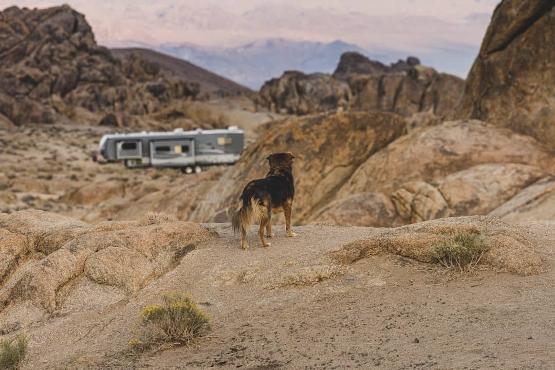
Coral Pink Sand Dunes
13.5 miles away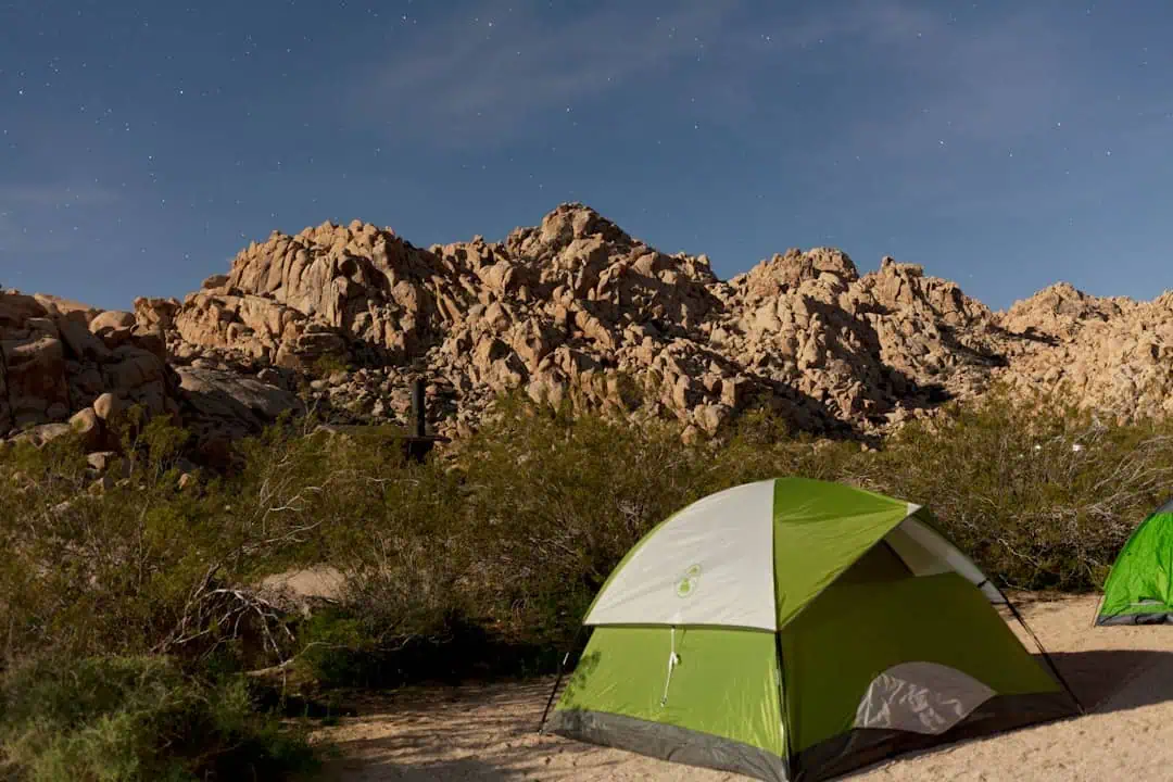
Greenhalgh Trail
13.6 miles away
Hog Canyon OHV Trail System
13.7 miles away · 4.8 ★
Coral Pink Sand Dunes State Park
14.7 miles away
North Fork Virgin River Wilderness Study Area
15.3 miles away
Tom’s Canyon Trail
15.7 miles away · 4.1 ★
Orderville Canyon WSA
16.1 miles away · 5.0 ★
Zion Scenic Byway
16.2 miles away
Crocodile Staging Area
16.5 miles away · 4.7 ★
