
Capitol Reef Country Scenic Byway
Utah
Wind through some of Utah’s most dramatic and least-crowded landscapes on the Capitol Reef Country Scenic Byway, a state-designated route that delivers red-rock grandeur without the national park crowds. This drive carries you past towering sandstone cliffs, sweeping desert valleys, and the remarkable Waterpocket Fold — a nearly 100-mile wrinkle in the earth’s crust that defines Capitol Reef National Park.
Along the way, colorful layers of Navajo sandstone, Wingate cliffs, and ancient petroglyphs tell a geological story spanning hundreds of millions of years. Stop at the historic Fruita orchards, where you can pick cherries, peaches, and apples in season, or stretch your legs on trails leading to natural bridges and hidden canyons. Small communities along the route offer locally owned cafes, galleries, and outfitters that reflect the quiet independence of rural Utah.
The best time to drive is spring through fall, when wildflowers dot the desert floor and golden cottonwoods line the creek bottoms. Summer brings warm days ideal for canyon hikes, while autumn offers cooler temperatures and brilliant color. Allow at least half a day for the drive itself, with extra time for trailheads, overlooks, and the unhurried pace this landscape deserves.
Explore Nearby
- Sheets Gulch — Public Land in Utah
- Burro Wash — Public Land in Utah
- Anasazi State Park Museum — State Park in Utah
- Torrey, Utah — Dark Sky Site in Utah
- Dixie National Forest — National Forest in Utah
Photos

Nearby Discoveries
12 places to explore within 30 miles
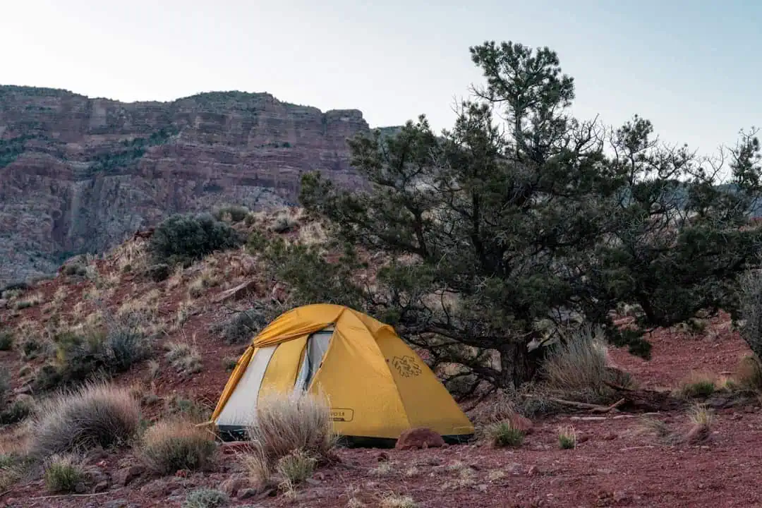
Sheets Gulch
1.4 miles away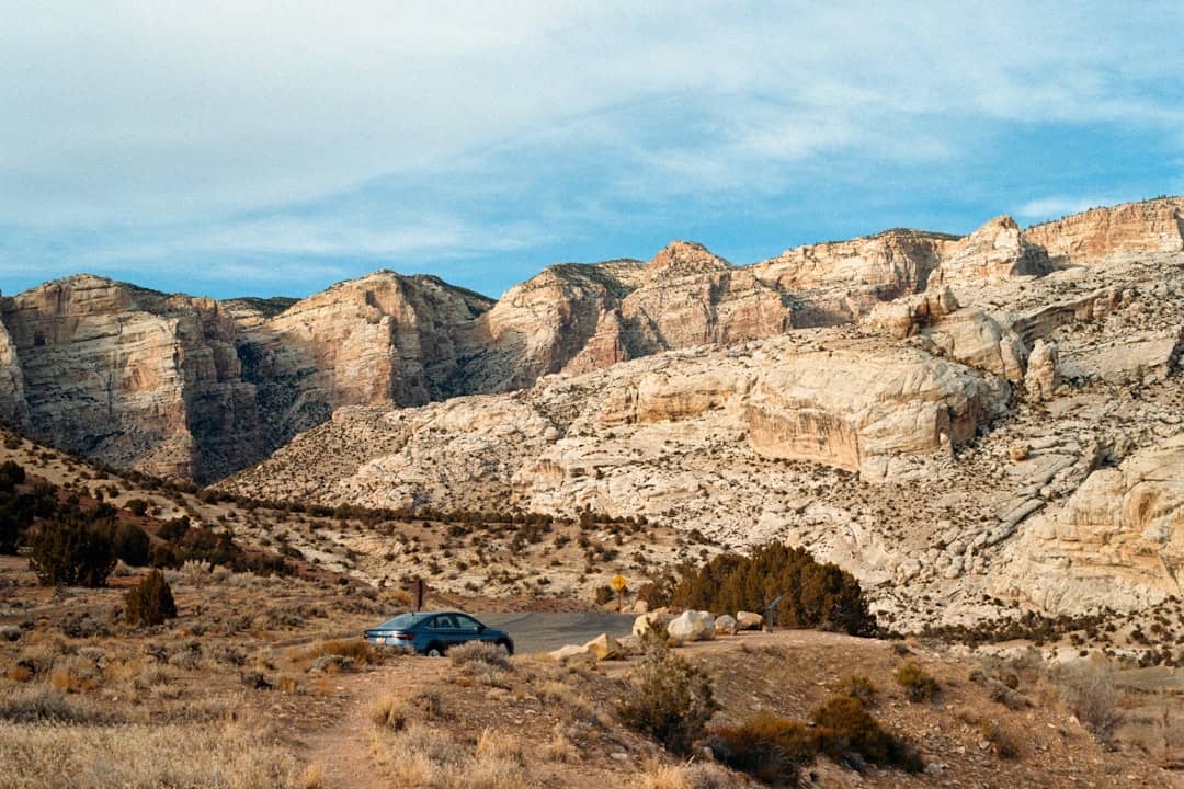
Burro Wash
6.8 miles away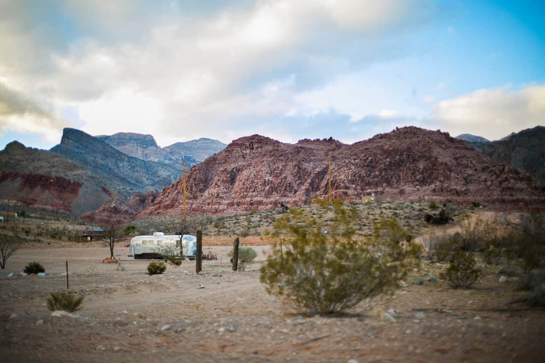
Mt. Ellen-Blue Hills
14.9 miles away
Bull Creek Pass Backcountry Byway
18.1 miles away · 5.0 ★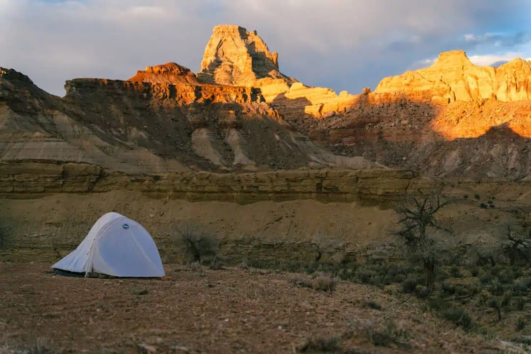
Fremont Gorge
18.6 miles away
Anasazi State Park Museum
19.9 miles away
South Caineville Mesa Trail
19.9 miles away · 4.7 ★
Mt. Pennell
20.8 miles away
Torrey, Utah
21.2 miles away
Factory Butte Recreation Area
22.6 miles away
Dixie National Forest
22.8 miles away · 4.6 ★
