
South Las Vegas Strip scenic route
Nevada
7.2 miles
The South Las Vegas Strip scenic route traces the iconic Las Vegas Boulevard through the heart of the famous Las Vegas Strip and continues south into the desert landscape of Clark County, Nevada. This route captures the dramatic contrast between the neon-lit entertainment corridor and the stark Mojave Desert that surrounds it.
Driving south from the main resort corridor, the boulevard passes the Welcome to Las Vegas sign, one of the most photographed landmarks in Nevada, before transitioning through older casino properties and eventually into residential and commercial areas south of the city center. The route offers views of the surrounding Spring Mountains to the west and the desert basin stretching toward Henderson and Lake Mead.
The best time to experience this drive is at dusk, when the desert sky transitions through golden and purple hues while the Strip’s lights begin their nightly display. The route is accessible year-round, though summer temperatures regularly exceed 110 degrees, making air-conditioned vehicles essential for comfortable travel.
Explore Nearby
- Red Rock Canyon National Conservation Area — Public Land in Nevada
- Old Las Vegas Mormon Fort State Historic Park — State Park in Nevada
- Ice Age Fossils State Park — State Park in Nevada
- Sloan Canyon National Conservation Area — Public Land in Nevada
- Death Valley National Park Dark Sky Park — Dark Sky Site in California
Photos

Nearby Discoveries
11 places to explore within 30 miles
North Las Vegas Strip scenic route
0 miles away · 4.8 ★
South Las Vegas Strip
0 miles away · 4.8 ★
North Las Vegas Strip scenic byway
0 miles away · 4.8 ★
City of Las Vegas, Las Vegas Boulevard State Scenic Byway
0 miles away · 4.8 ★
Red Rock Canyon National Conservation Area
4.2 miles away · 4.8 ★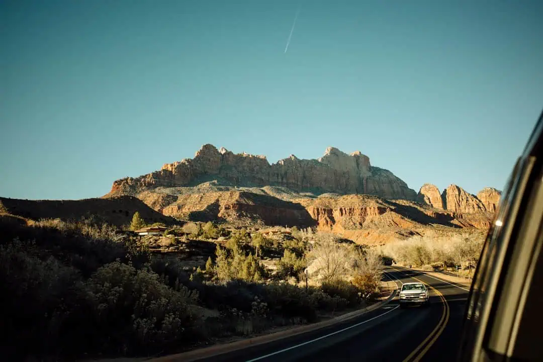
Las Vegas Strip
14 miles away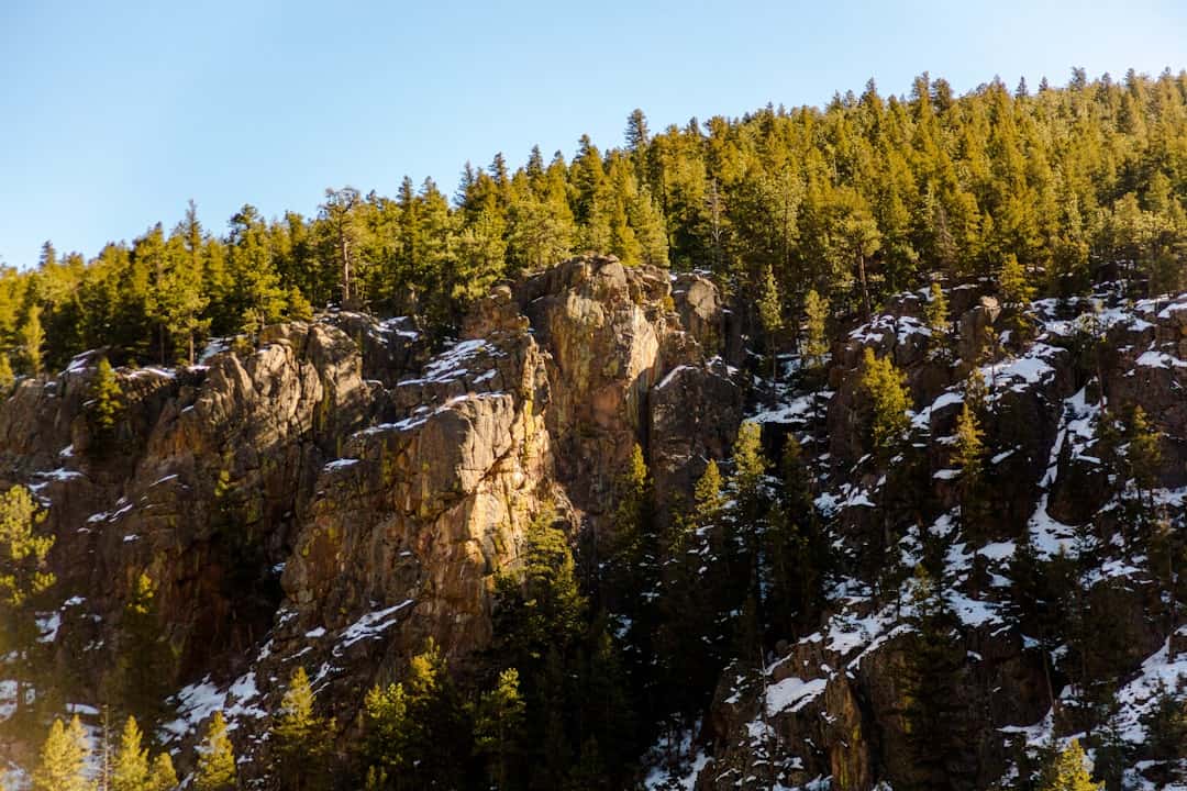
Kyle Canyon Road
14.8 miles away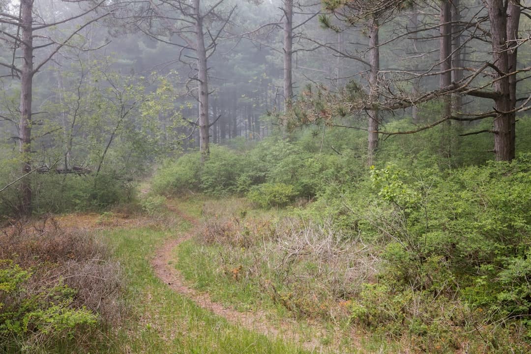
Old Las Vegas Mormon Fort State Historic Park
16.5 miles away
Ice Age Fossils State Park
17.6 miles away
Mt. Charleston/Lee Canyon Road
18.4 miles away · 4.5 ★
