
Kyle Canyon Road
Nevada
20.9 miles
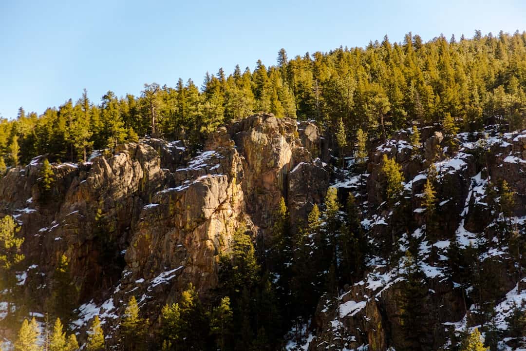
Kyle Canyon Road climbs from the sun-baked Mojave Desert floor into the cool alpine forests of the Spring Mountains, offering one of Nevada’s most dramatic elevation changes in just 20.9 miles. Designated a State Scenic Byway, this route carries travelers from the outskirts of Las Vegas into Mount Charleston and the Humboldt-Toiyabe National Forest, trading desert scrub for ponderosa pine, bristlecone groves, and rugged limestone cliffs.
Along the way, pulloffs reveal sweeping views of the Las Vegas Valley far below, while trailheads invite short hikes to seasonal waterfalls and ancient bristlecone pines. The road passes through Red Rock country before winding into Kyle Canyon itself, where sheer walls tower overhead and the air cools noticeably with every switchback. At the upper reaches, visitors find campgrounds, picnic areas, and access to some of southern Nevada’s best hiking, including trails to Charleston Peak.
Spring and fall deliver the most comfortable temperatures and vivid color, though summer draws locals escaping triple-digit heat in the valley. Winter occasionally brings snow to the upper elevations. Allow one to two hours for the drive with stops for photos and short walks. Kyle Canyon Road proves that wilderness and city lights can coexist remarkably close together.
Explore Nearby
- Wild Horse State Recreation Area — State Park in Nevada
- Washoe Lake State Park — State Park in Nevada
- Grimes Point/Hidden Cave Archaeological Site — Public Land in Nevada
- Black Rock Desert-High Rock Canyon Emigrant Trails National Conservation Area — Public Land in Nevada
- Massacre Rim Wilderness Study Area — Dark Sky Site in Nevada
Photos
Nearby Discoveries
10 places to explore within 30 miles

Ice Age Fossils State Park
5.8 miles away
Red Rock Canyon National Conservation Area
11.6 miles away · 4.8 ★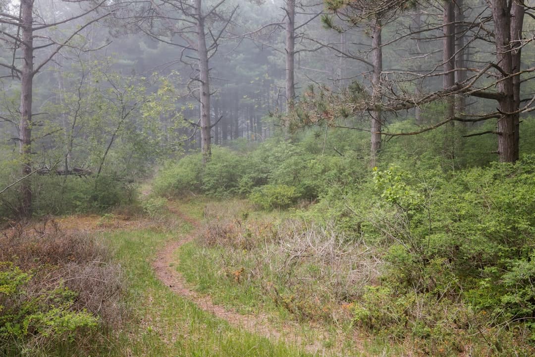
Old Las Vegas Mormon Fort State Historic Park
14.1 miles away
South Las Vegas Strip scenic route
14.8 miles away · 4.8 ★
North Las Vegas Strip scenic route
14.8 miles away · 4.8 ★
South Las Vegas Strip
14.8 miles away · 4.8 ★
North Las Vegas Strip scenic byway
14.8 miles away · 4.8 ★
City of Las Vegas, Las Vegas Boulevard State Scenic Byway
14.8 miles away · 4.8 ★
Las Vegas Strip
16.2 miles away
