
Zion Scenic Byway
Utah
28.0 miles
Winding through southwestern Utah’s red rock country, the Zion Scenic Byway delivers 28 miles of jaw-dropping desert scenery as it travels from La Verkin to the eastern boundary of Zion National Park near Mt. Carmel Junction.
This National Scenic Byway follows State Route 9 through a landscape sculpted by millions of years of geological forces. Towering sandstone cliffs in shades of crimson, coral, and cream rise dramatically from the canyon floor, while the Virgin River carves its path through the terrain below. The route passes through the charming gateway towns of Virgin, Rockville, and Springdale, each offering local eateries, galleries, and outfitters.
The crown jewel awaits at Zion National Park, where the byway continues through the famous Zion-Mt. Carmel Tunnel—a 1.1-mile engineering marvel blasted through solid rock in the 1920s. Emerging on the east side, you’ll encounter the otherworldly Checkerboard Mesa and sweeping views of slickrock formations.
Spring and fall offer ideal driving conditions with mild temperatures and smaller crowds. Summer brings desert heat but spectacular monsoon skies. Allow two to three hours for the drive with stops, or a full day if you plan to hike the park’s iconic trails like Angels Landing or The Narrows.
Explore Nearby
- Orderville Canyon WSA — Public Land in Utah
- Shunes Creek Wild and Scenic River — Public Land in Utah
- Coral Pink Sand Dunes State Park — State Park in Utah
- Quail Creek State Park — State Park in Utah
- Grand Canyon National Park Dark Sky Park — Dark Sky Site in Arizona
Photos

Nearby Discoveries
12 places to explore within 30 miles

Orderville Canyon WSA
4.7 miles away · 5.0 ★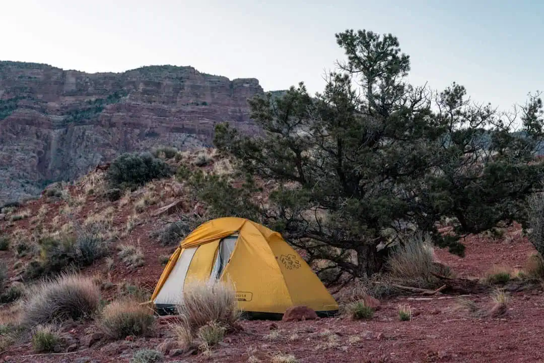
Shunes Creek Wild and Scenic River
7 miles away
Guacamole Trail
8.6 miles away · 4.7 ★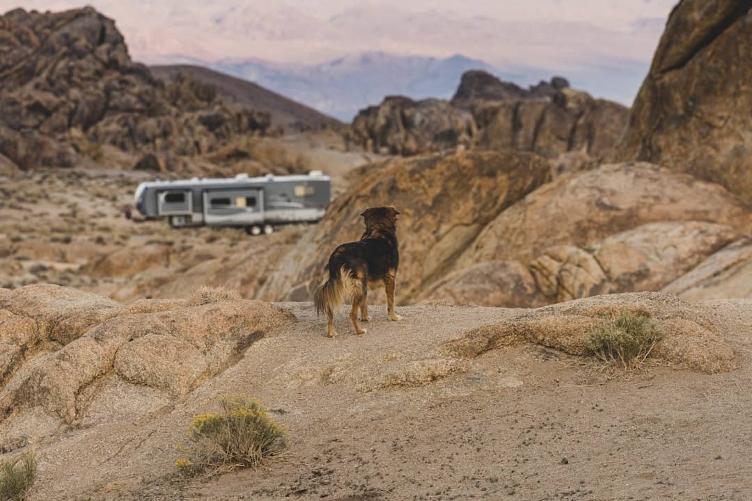
North Fork Virgin River Wilderness Study Area
9.2 miles away
Goose Creek Wilderness
9.3 miles away
Lambs Knoll Climbing Site
9.6 miles away · 4.7 ★
Lambs Knoll Designated Dispersed Camping Area
9.6 miles away · 4.7 ★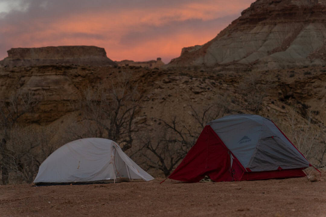
Deep Creek Wilderness
10.4 miles away
Smithsonian Butte National Back Country Byway
11 miles away · 4.7 ★
North Fork Virgin Wild and Scenic River
11.8 miles away · 5.0 ★
Canaan Mountain Wilderness
12.5 miles away · 4.0 ★
