Gooseberry Mesa National Recreation Trail
Utah
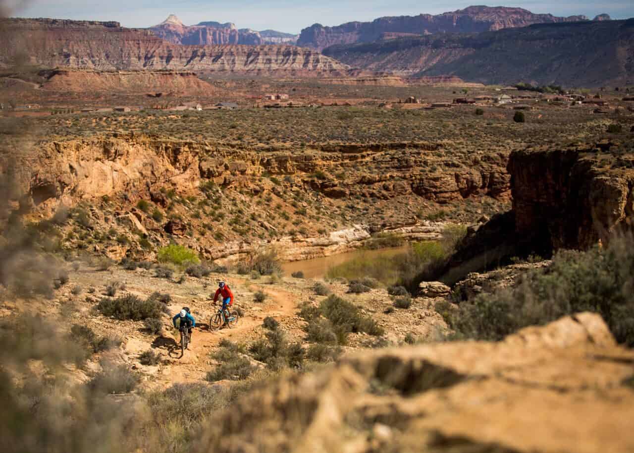
Gooseberry Mesa National Recreation Trail is located on Gooseberry Mesa in southern Utah‘s red rock country. At an elevation of 5,200 feet, views from the mesa rims are spectacular. Rising to the north are the massive sandstone sentinels of Zion National Park. Spread out below the west rim is a panorama of colorful desert mesas and water carved canyons.
The Gooseberry Mesa National Recreation Trail is actually a system of trails sweeping across the mesa. Developed in the late 1990’s through cooperative efforts, it received National Recreation Trail status in 2006.
For information on recommended trail users, maps, difficulty ratings, and other important facts please download the Gooseberry Mesa Brochure.
Explore Nearby
- Yuba State Park — State Park in Utah
- Willard Bay State Park — State Park in Utah
- Fishlake National Forest — National Forest in Utah
- Dixie National Forest — National Forest in Utah
- Upper Colorado River Scenic Byway — Scenic Byway in Utah
Nearby Discoveries
12 places to explore within 30 miles
Peek-A-Boo Staging Area
0 miles away
California National Historic Trail (NHT), Bidwell-Bartelson Route
0 miles away
Wah Wah Mountains WSA
0 miles away
North Fork Virgin River Merriam’s Turkey Viewing Area
0 miles away
Joy Townsite
0 miles away
Steep Creek WSA
0 miles away
s scenic Grand Staircase-Escalante National Monument
0 miles away
Horseshoe Knolls
0 miles away
Kolob Creek Wild and Scenic River
0 miles away
Knolls Off-Highway Vehicle Special Recreation Management Area (SRMA)
0 miles away
Devil’s Playground Designated Routes
0 miles away