Tucked into the Laurel Highlands of Westmoreland County, Laurel Summit State Park packs a surprising amount of character into its compact 6 acres. Established in 1964, this pocket-sized park sits atop Laurel Ridge at an elevation of roughly 2,740 feet, making it one of the highest points in southwestern Pennsylvania and a natural cooldown from summer heat in the valleys below.
What draws visitors here is the access to exceptional hiking. The park serves as a trailhead for the Spruce Flats Bog Trail, a boardwalk loop through a rare boreal bog ecosystem where you’ll find sphagnum moss, sundew plants, and other species typically found much farther north. It’s a genuinely unusual landscape for Pennsylvania and well worth the short walk. The Laurel Highlands Hiking Trail also passes nearby, offering connections to longer backcountry routes stretching over 70 miles.
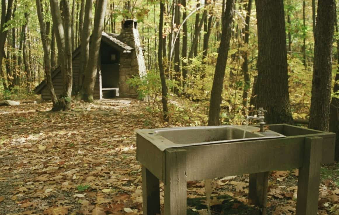
The picnic area is small but well-maintained, with tables nestled among towering hardwoods and hemlocks. It’s an ideal lunch stop if you’re driving the Lincoln Highway or exploring the surrounding Laurel Ridge State Park and Forbes State Forest lands.
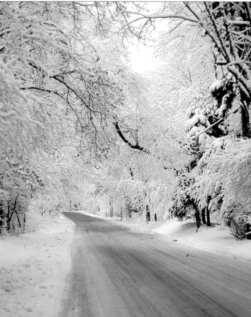
Late spring through early fall is the best window for visiting. Wildflowers peak in May and June, while autumn foliage at this elevation is among the earliest and most vivid in the region. Winters bring heavy snow and limited access.
Come for the bog, stay for the views, and appreciate that some of Pennsylvania’s most interesting natural features come in very small packages.
Explore Nearby
- Walter’s Mill Bridge — Covered Bridge in Pennsylvania
- Trostletown Bridge — Covered Bridge in Pennsylvania
- Lincoln Highway Heritage Byway — Scenic Byway in Iowa
- Lincoln Heritage Scenic Highway — Scenic Byway in Kentucky
- South Hills — Public Land