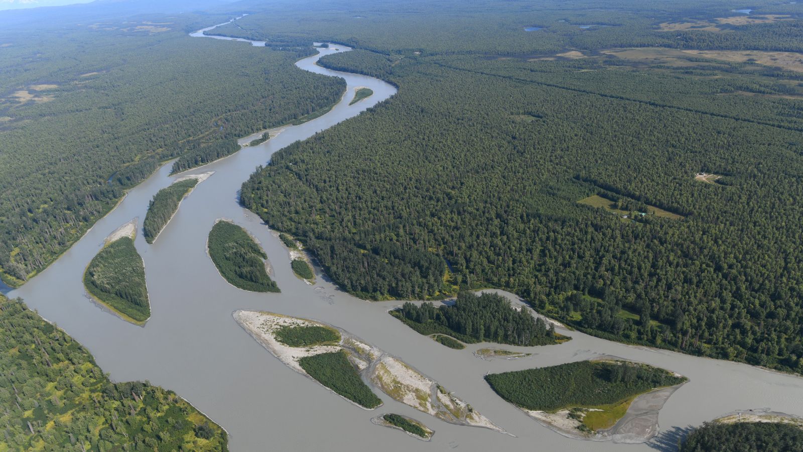
Alaska, a land of untamed wilderness and breathtaking landscapes, boasts a network of rivers and lakes that define its natural splendor. Nestled within this vast expanse are some of the most pristine and awe-inspiring waterways on the planet. From the mighty currents that carve through rugged terrains to the tranquil lakes that mirror towering mountains, Alaska’s rivers and lakes offer an unparalleled opportunity to connect with nature in its purest form.
In this article, we embark on a virtual expedition, delving into the heart of Alaska’s aquatic wonders, uncovering their ecological significance, cultural importance, and the countless adventures they hold for intrepid explorers. Join us as we navigate the currents of knowledge and embark on a voyage through the captivating world of Alaska’s rivers and lakes.
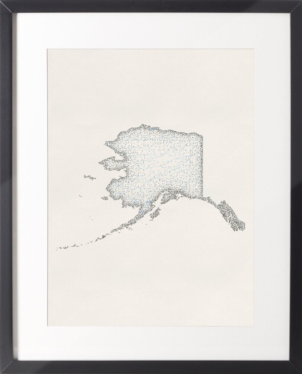
Printable Alaska Lakes and Rivers Map
Rivers
Yukon River
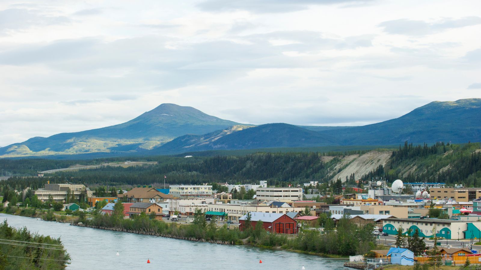
The Yukon River, the longest river in Alaska and Yukon, is a major watercourse in northwestern North America. From its source in British Columbia, Canada, it flows through Canada’s territory of Yukon before continuing westward through the U.S. state of Alaska and emptying into the Bering Sea at the Yukon-Kuskokwim Delta.
The river, which played a significant role in the Klondike Gold Rush of 1896-1903, is 1,980 miles long and has a total drainage area of 321,500 square miles, of which 125,000 square miles lie in Canada.
Kuskokwim River

The Kuskokwim River, the longest river system contained entirely within a single U.S. state, is a 702-mile-long river in Southwest Alaska. It provides the principal drainage for an area of remote Alaska Interior on the north and west sides of the Alaska Range, flowing southwest into Kuskokwim Bay on the Bering Sea.
The river is broad and flat for its entire course, making it a useful transportation route for many types of watercraft, as well as road vehicles during the winter when it is frozen over. Kuskokwim is a loose transliteration of a Yup’ik word, meaning “big slow moving thing.”
Koyukuk River
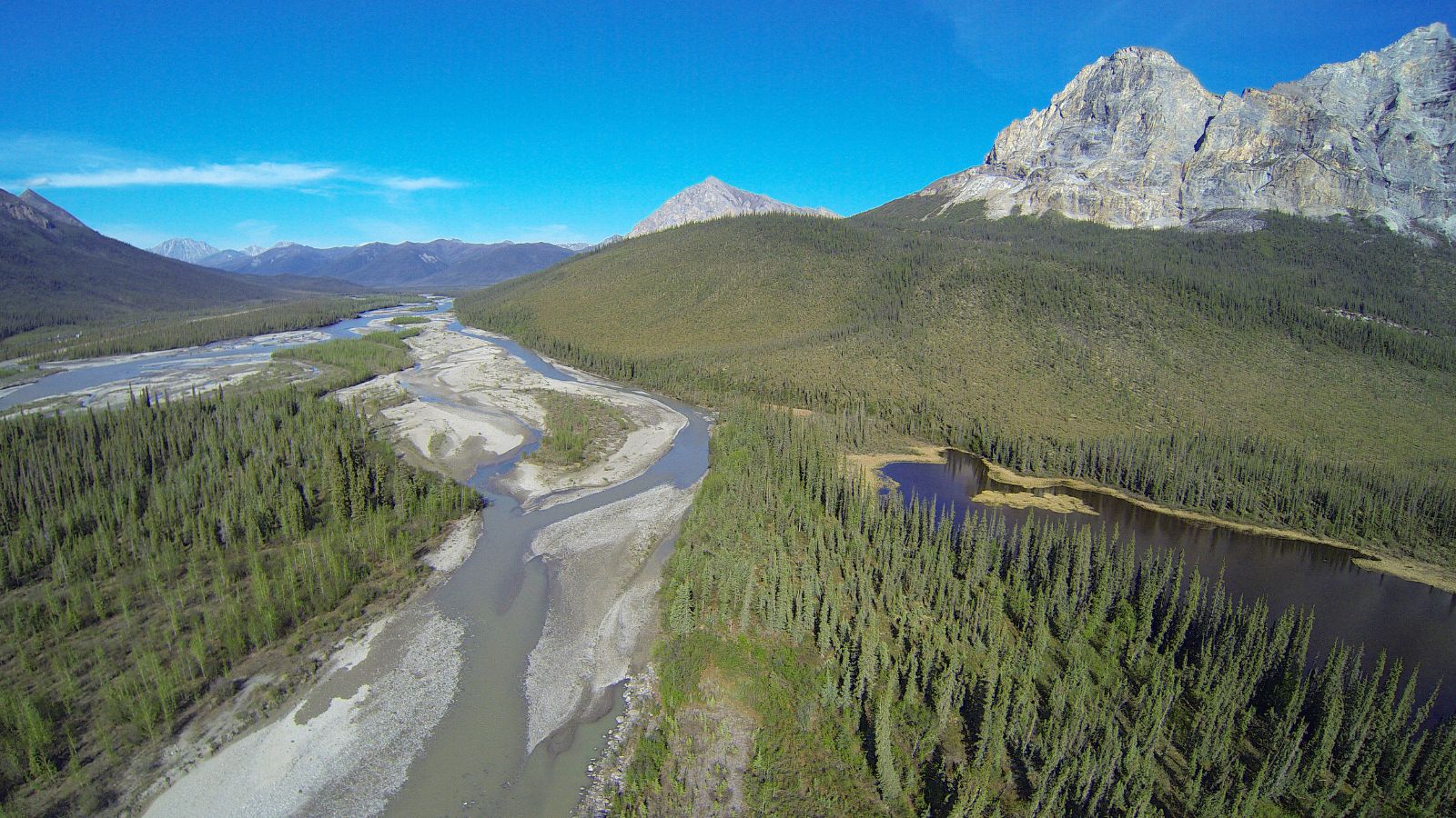
The Koyukuk River, a 425-mile tributary of the Yukon River, is also located in Alaska. Rising at the confluence of the North Fork Koyukuk River with the Middle Fork Koyukuk River, it flows generally southwest to meet the larger Yukon River at Koyukuk.
The river, with headwaters above the Arctic Circle in the Endicott Mountains of the Brooks Range, drains an area north of the Yukon River that includes part of the Gates of the Arctic National Park and Preserve, as well as Kanuti National Wildlife Refuge and Koyukuk National Wildlife Refuge.
Kobuk River
The Kobuk River, a 280-mile-long river located in the Arctic region of northwestern Alaska, is among the largest rivers in the region with widths of up to 1,500 feet. It flows at a speed of 3-5 miles per hour in its lower and middle reaches.
The river drains a basin with an area of 12,300 square miles and contains an exceptional population of sheefish, a large predatory whitefish within the salmon family found throughout the Arctic, that spawns in the river’s upper reaches during the autumn. A portion of the vast Western Arctic Caribou Herd utilizes the Kobuk River valley as its winter range.
Noatak River

The Noatak River, with its headwaters on the north flank of Mount Igikpak in the Schwatka Mountains of the Brooks Range in the Gates of the Arctic National Park, is a 425-mile-long river that flows generally westward to the Chukchi Sea at Kotzebue Sound.
The river’s entire course is north of the Arctic Circle and is entirely contained within the Noatak National Preserve and Gates of the Arctic National Park, making it the largest undisturbed watershed in the United States. The Noatak basin encompasses 6,500,000 acres, and the only permanent settlement along the river is the village of Noatak, which has a 4,000-foot lighted public gravel airstrip, several small stores, a post office, and a school.
Colville River
The Colville River, a major river of the Arctic Ocean coast of Alaska, is approximately 350 miles long and is one of the northernmost major rivers in North America. The river drains a remote area of tundra on the north side of the Brooks Range entirely above the Arctic Circle in the southwestern corner of the National Petroleum Reserve-Alaska.
The river is frozen for more than half the year and floods each spring, and its adjacent hills are home to a variety of Arctic wildlife, including Lake Teshekpuk and Central Arctic caribou herds, and hawks.
Porcupine River
The Porcupine River, a 569-mile tributary of the Yukon River in Canada and the United States, rises in the Ogilvie Mountains north of Dawson City, Yukon, Canada, flows north through the community of Old Crow, veers southwest into Alaska, and enters the larger river at Fort Yukon, Alaska.
The river derives its name from the Gwich’in word for the river, Ch’oonjik, or “Porcupine Quill River,” and the Porcupine caribou herd, whose range includes the Arctic National Wildlife Refuge (ANWR) in Alaska, gets its name from its calving grounds around the Porcupine River.
The Porcupine River is also the site of possible (but disputed) evidence of the oldest known human habitation in North America, with many apparently human-modified animal bones discovered in the Bluefish Caves, one of its tributaries, assessed as 25,000 to 40,000 years old.
Tanana River
The Tanana River, a 584-mile tributary of the Yukon River in Alaska, flows in a northwest direction from near the border with the Yukon Territory and laterally along the northern slope of the Alaska Range, roughly paralleled by the Alaska Highway.
In central Alaska, it emerges into a lowland marsh region known as the Tanana Valley and passes south of the city of Fairbanks, and in the marsh regions, it is joined by several large tributaries, including the Nenana and the Kantishna. The Nenana Ice Classic, an annual guessing game about the date of the ice break-up, is held each year on the river, with ice accumulating each winter to an average maximum thickness of 43 inches at Nenana.
Susitna River
The Susitna River, a 313-mile-long river in Southcentral Alaska, stretches from the Susitna Glacier to Cook Inlet’s Knik Arm and is the 15th largest river in the United States, ranked by average discharge volume at its mouth.
The river is one of Southcentral Alaska’s premier sport fishing streams, with significant runs of Chinook and Coho salmon, along with resident grayling, burbot, and rainbow trout. The Susitna River is also notable for its headwater tributaries, including the Yentna River, and for being located within a roadless area, with access made usually by power boat or by floatplane.
Copper River

The Copper River, a 290-mile-long river in south-central Alaska, drains a large region of the Wrangell Mountains and the Chugach Mountains into the Gulf of Alaska and is known for its extensive delta ecosystem, as well as for its prolific runs of wild salmon, which are among the most highly prized stocks in the world.
The river rises out of the Copper Glacier, which lies on the northeast side of Mount Wrangell, in the Wrangell Mountains, within Wrangell-Saint Elias National Park, and drops an average of about 12 feet per mile, draining more than 24,000 square miles – an area the size of West Virginia.
Lakes
Iliamna Lake
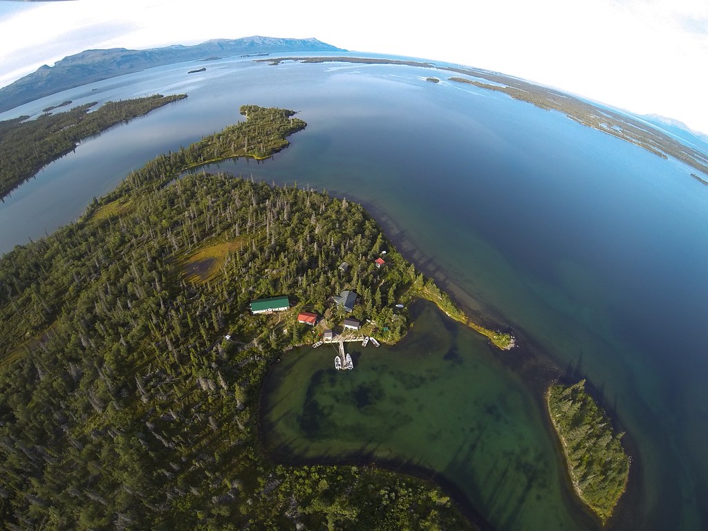
Iliamna Lake, located in southwest Alaska, is the largest lake in Alaska, the second largest lake entirely in the United States, and the twenty-fourth largest in North America. Covering about 2,600 km2, the lake is 77 miles long and up to 22 miles wide, with a maximum depth of 988 feet.
The lake shares a name with the Iliamna River, which flows into it, and the nearby community of Iliamna, Alaska, and its waters drain into Bristol Bay through the Kvichak River.
Becharof Lake
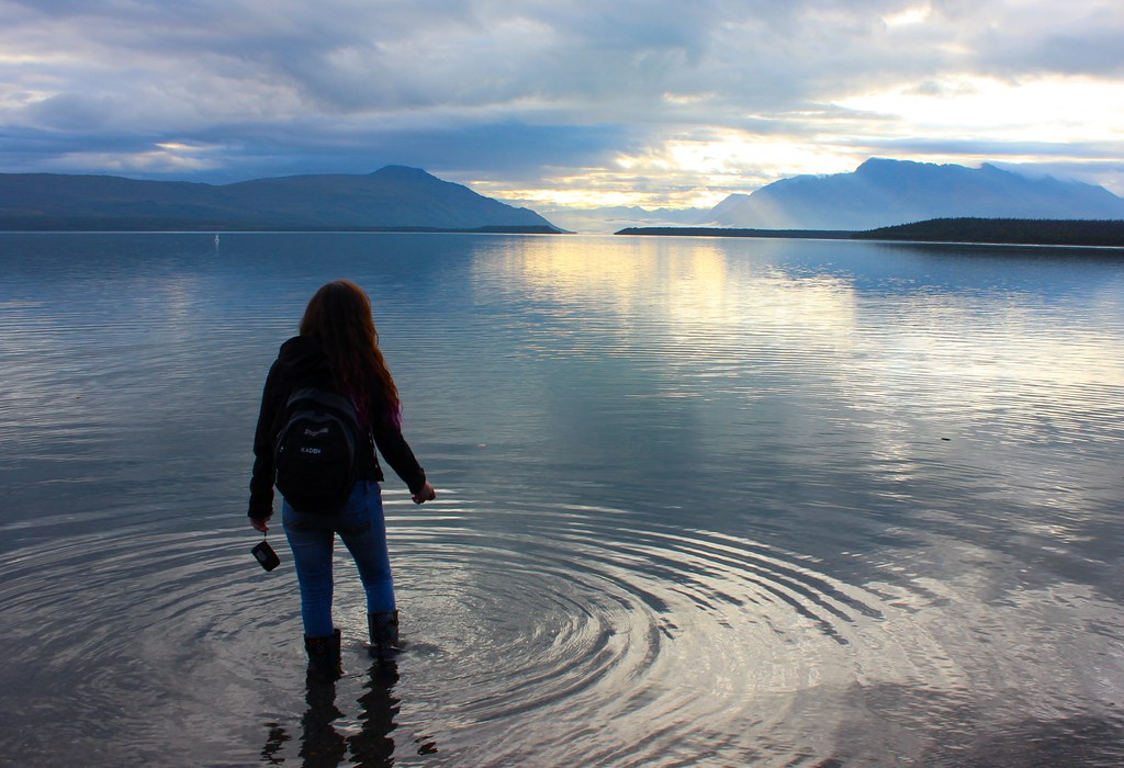
Becharof Lake is a 37-mile-long lake located on the Alaska Peninsula, 23 miles southeast of Egegik, in the Aleutian Range. It is the second largest lake in Alaska after Iliamna Lake and ranks eighth on the list of largest lakes in the United States by volume and fourteenth on the list of largest lakes in the United States by area.
The lake is known for its abundant fish populations, including sockeye salmon, and is a popular destination for sport fishing and wildlife viewing.
Selawik Lake
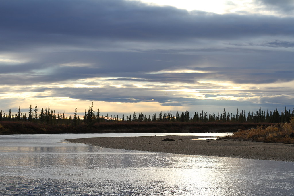
Selawik Lake, located 7 miles southwest of Selawik, Alaska, is the third largest lake in Alaska and the seventeenth largest lake in the United States. The lake is 31 miles long and adjacent to the Selawik National Wildlife Refuge and the Baldwin Peninsula, feeding into the Hotham Inlet and Kotzebue Sound.
The lake is home to a variety of fish species, including northern pike and arctic grayling, and is a popular destination for sport fishing and outdoor recreation.
Teshekpuk Lake

Teshekpuk Lake, located on the Alaska North Slope within the National Petroleum Reserve-Alaska, is the largest lake in Arctic Alaska, at 22 miles wide. The lake is home to a variety of arctic wildlife, including the resident Teshekpuk Lake caribou herd of 64,000 animals, and is considered one of the most productive, diverse, and sensitive wetland ecosystems in the entire Arctic.
However, the lake is threatened by saltwater contamination from disappearing sea ice, as well as oil drilling in Alpine, Alaska, and by the ConocoPhillips Willow project.
Eklutna Lake
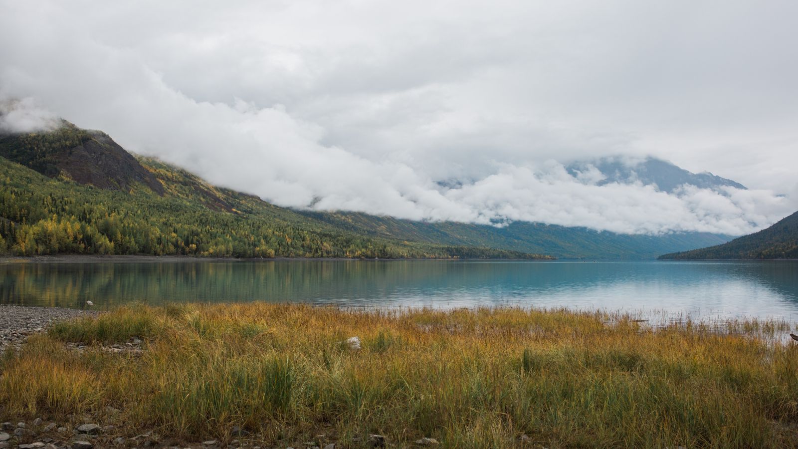
Eklutna Lake is a 3,520-acre body of water located in the Municipality of Anchorage, Alaska, near the village of Eklutna. The lake is entirely inside Chugach State Park and is approximately 1 mile wide and 7 miles in length. Visitors can access the lake via Eklutna Lake Road, which is narrow and winding with no shoulders, and park facilities include a large campground, picnic areas, and a substantial trail system providing access to backcountry and Eklutna Glacier, the source of the lake and river.
The lake is home to sizable populations of Kokanee salmon and Dolly Varden trout, and only unpowered boats and electric trolling motors are permitted.
Hidden Lake

Hidden Lake is situated on the Kenai Peninsula of Alaska, formed by an ancient channel of the Kenai River, and is entirely inside the Kenai National Wildlife Refuge. The lake is deepest at its southeast end, with depths up to 148 feet, and has several islands and depths in the range of 10-70 feet in the backcountry section of the lake in the northwest.
The shoreline is steep and wooded with birch and spruce trees, and the only outflow from the lake is Hidden Creek, a short, shallow creek that flows into the Kenai River just North of Skilak Lake.
Abyss Lake
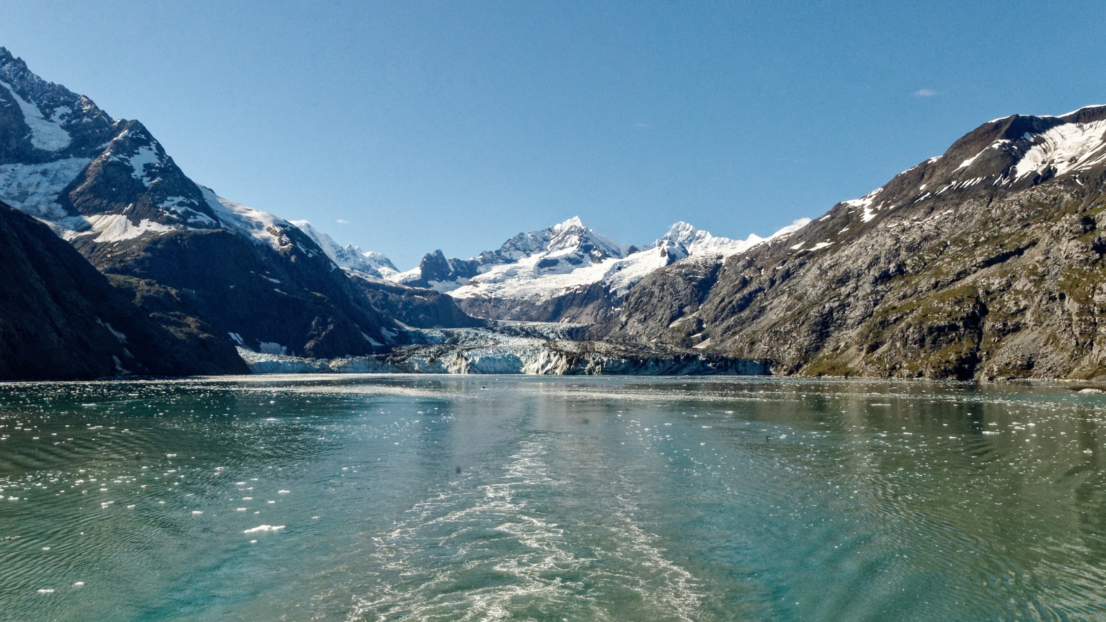
Abyss Lake is located in southeastern Alaska, lying on the eastern side of the Brady Glacier and receiving meltwater from it, which flows into the Dundas River, Dundas Bay, Cross Sound, and ultimately into the Pacific.
As part of the Glacier Bay National Park and Preserve, the lake’s water is regularly blocked by an ice dam, which can cause glacial lake outburst floods that propel much of the lake’s water, along with trees, ice chunks, and sediment, into Dundas Bay. This has occurred numerous times, including in 1994, 1997, 1998, 2000, 2001, 2005, and September 2006.

