Nestled within the arid landscapes of the American Southwest, Arizona reveals a surprising juxtaposition of desert terrain and vibrant aquatic ecosystems. While it may seem paradoxical, the state is home to a remarkable array of major rivers and fabulous lakes that meander through its rugged terrain, offering oases of life and beauty.
From the iconic Colorado River carving through steep canyons to the hidden gems of desert lakes that shimmer like turquoise jewels, Arizona’s waterways are an integral part of its identity. In this article, we embark on a journey of exploration, tracing the intricate pathways of Arizona’s famous rivers and the reflective surfaces of its lakes.
Join us as we delve into the hydrological wonders that defy the desert stereotype and uncover the vital role these aquatic treasures play in shaping the past, present, and future of the Grand Canyon State.
Printable Arizona Lakes and Rivers Map
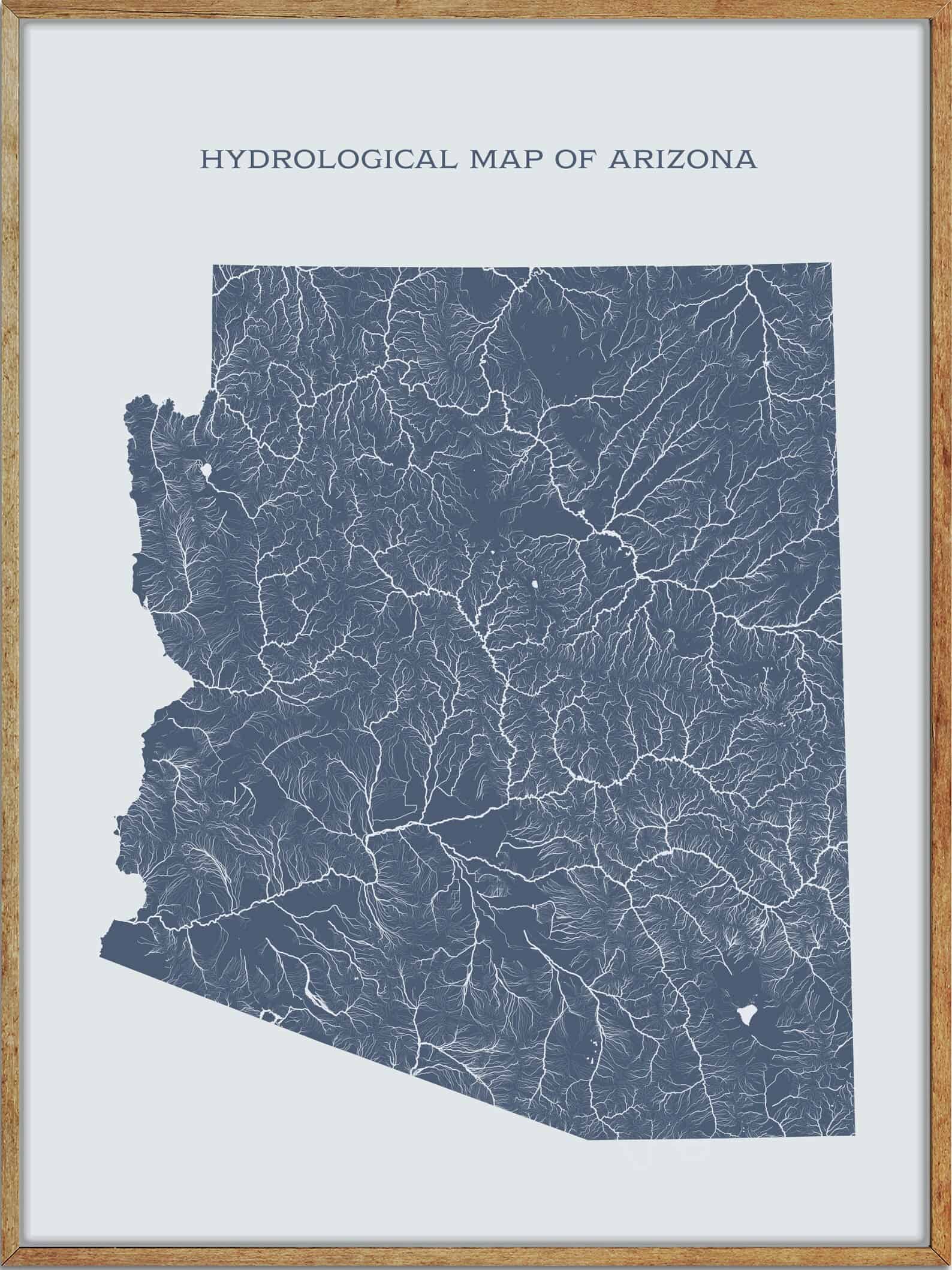
Rivers
Verde River
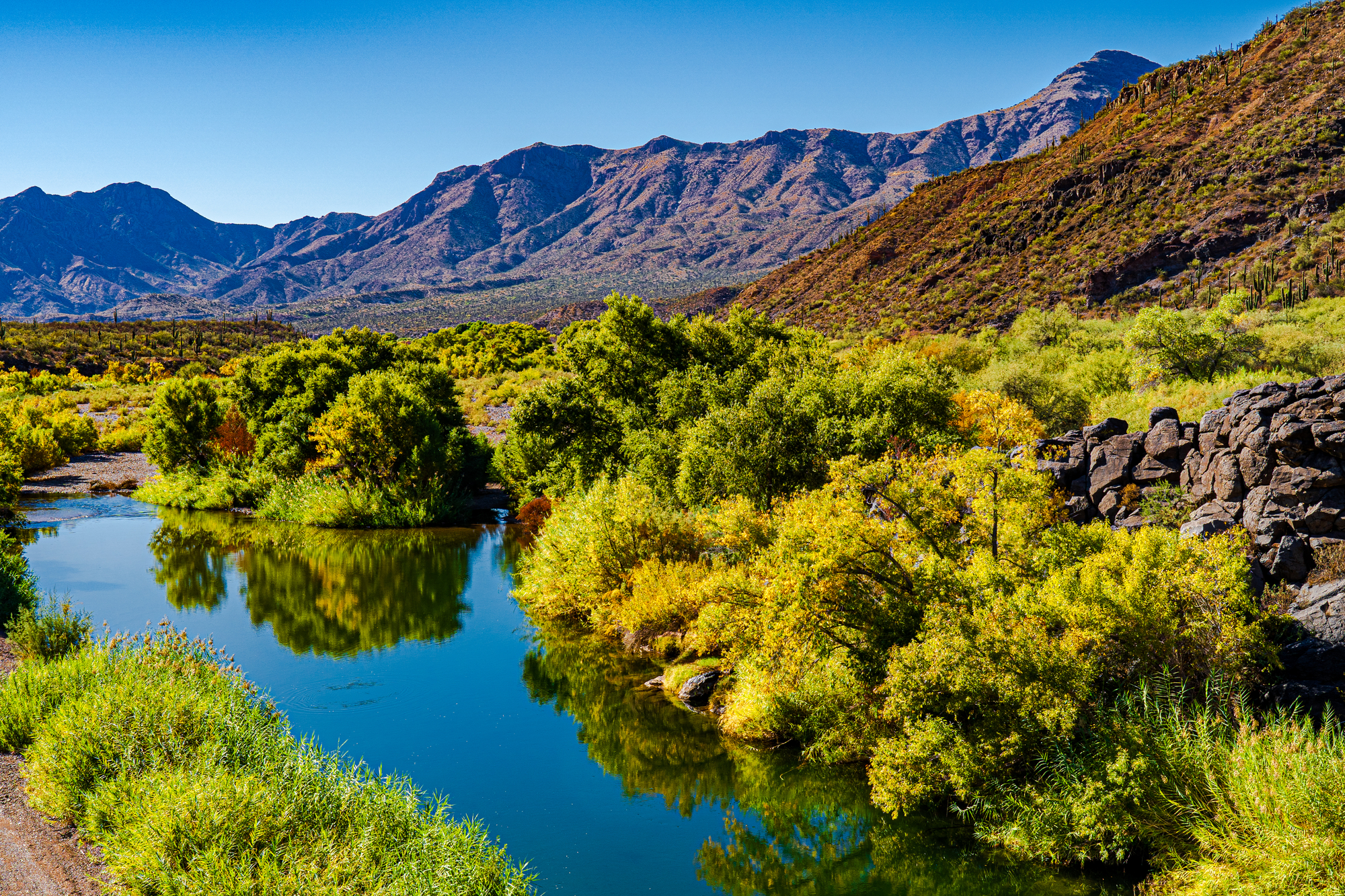
The Verde River, a major tributary of the Salt River in Arizona, is about 170 miles long and carries a mean flow of 602 cubic feet per second at its mouth, making it one of the largest perennial streams in Arizona.
The river begins below the dam at Sullivan Lake, fed by Big Chino Wash and Williamson Valley Wash in Yavapai County, and flows freely for 12 miles through private, state, tribal, and United States Forest Service lands, specifically the Tonto National Forest, before encountering the first of two dams that make Horseshoe Lake and Bartlett Lake.
The Verde River is also known for its scenic beauty and has been designated as a Wild and Scenic River through the National Wild and Scenic River program.
Salt River
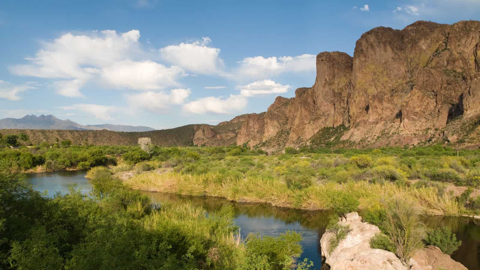
The Salt River, located in Gila and Maricopa counties, is about 200 miles long and is the largest tributary of the Gila River, with a drainage basin of about 13,700 square miles. The river’s many tributaries include the 195-mile Verde River, as well as the Black River and East Fork, which increase the river’s total length to about 300 miles.
The name Salt River comes from the fact that the river flows over large salt deposits shortly after the merging of the White and Black Rivers.
Gila River

The Gila River, a 649-mile-long tributary of the Colorado River, flows through New Mexico and Arizona and drains an arid watershed of nearly 60,000 square miles that lies mainly within the U.S. but also extends into northern Sonora, Mexico.
Indigenous peoples have lived along the river for at least 2,000 years, establishing complex agricultural societies before European exploration of the region began in the 16th century.
During the 20th century, human development of the Gila River watershed prompted the construction of large diversion and flood control structures on the river and its tributaries, and consequently, the Gila now contributes only a small fraction of its historic flow to the Colorado.
Virgin River
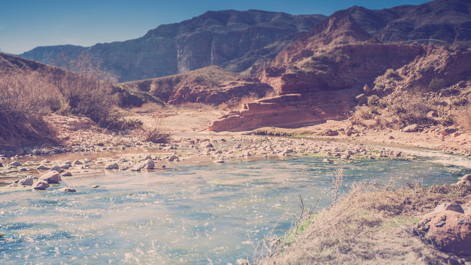
The Virgin River, a tributary of the Colorado River, is about 162 miles long and flows through Utah, Nevada, and Arizona. It was designated Utah’s first wild and scenic river in 2009, during the centennial celebration of Zion National Park.
The river’s course begins in Southwestern Utah, at the Navajo Reservoir in the Dixie National Forest, north of Zion National Park, and flows in a southwesterly direction, passing through the Virgin River Gorge and past the towns of Beaver Dam and Littlefield, before entering southern Nevada near the town of Mesquite and emptying into the Colorado at the Lake Mead reservoir.
San Pedro River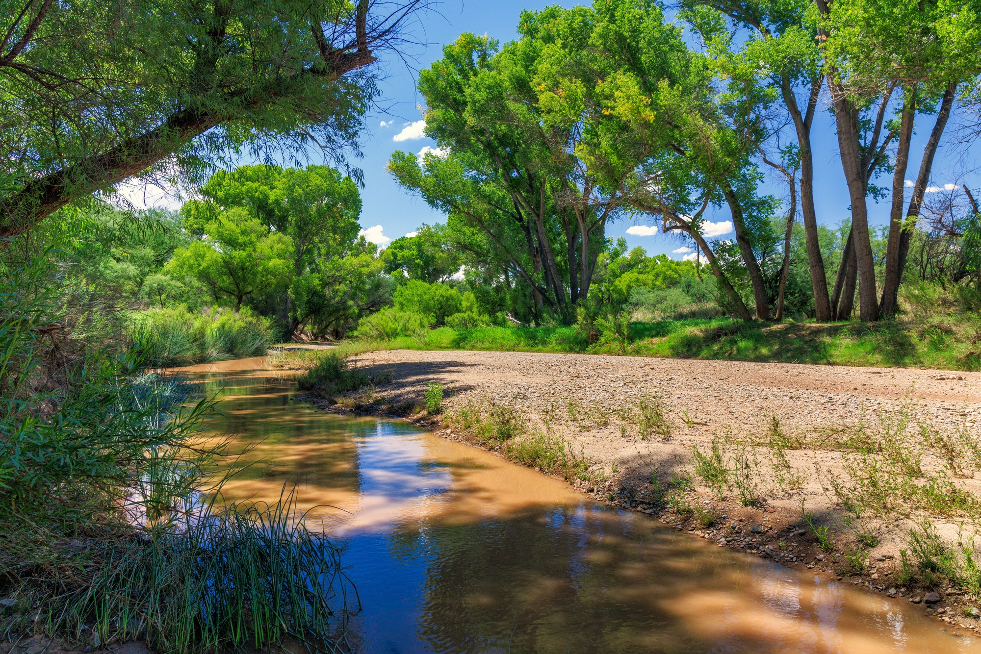
The San Pedro River, a northward-flowing stream, originates about 10 miles south of the international border south of Sierra Vista, Arizona, in Cananea Municipality, Sonora, Mexico. Within Arizona, the river flows 140 miles north through Cochise County, Pima County, Graham County, and Pinal County to its confluence with the Gila River, at Winkelman, Arizona.
As the last major, undammed desert river in the American Southwest, the San Pedro River is of major ecological importance, hosting two-thirds of the avian diversity in the United States, including 100 species of breeding birds and almost 300 species of migrating birds.
Bill Williams River
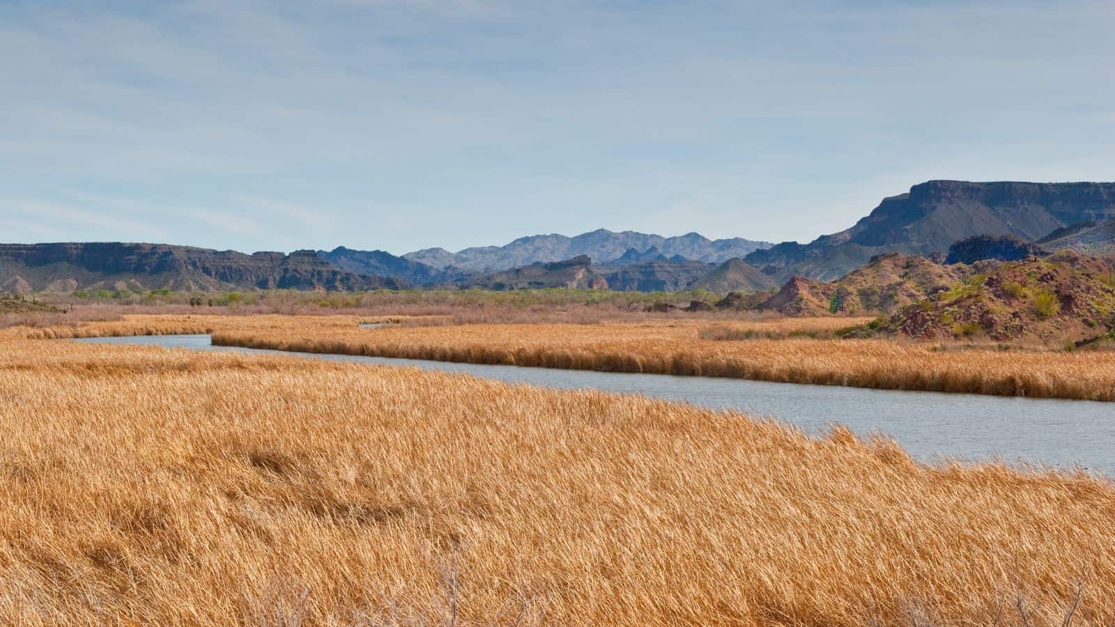
The Bill Williams River is a 46.3-mile-long river in west-central Arizona where it, along with one of its tributaries, the Santa Maria River, forms the boundary between Mohave County to the north and La Paz County to the south. It is a major drainage westwards into the Colorado River of the Lower Colorado River Valley south of Hoover Dam and Lake Mead, and the drainage basin covers portions of northwest and west-central Arizona.
The river is named after mountain man Bill Williams and is a popular fishing and recreation region, with state parks and wilderness areas such as Buckskin Mountain State Park, Cattail Cove State Park, and the Gibraltar Mountain, Swansea, and Cactus Plain wilderness areas.
Black River

The Black River is a 114-mile-long river in the White Mountains of Arizona that forms south of the town of Greer and west of the towns of Nutrioso and Alpine. It flows southwest then northwest to meet the White River west of Fort Apache, and the merged streams form the Salt River, a major tributary of the Gila River.
The Black River is also the boundary between the Fort Apache Indian Reservation on the north and the San Carlos Indian Reservation on the south, and it passes near the Bear Wallow Wilderness, through which flows one of the river’s tributaries, Bear Wallow Creek.
Puerco River
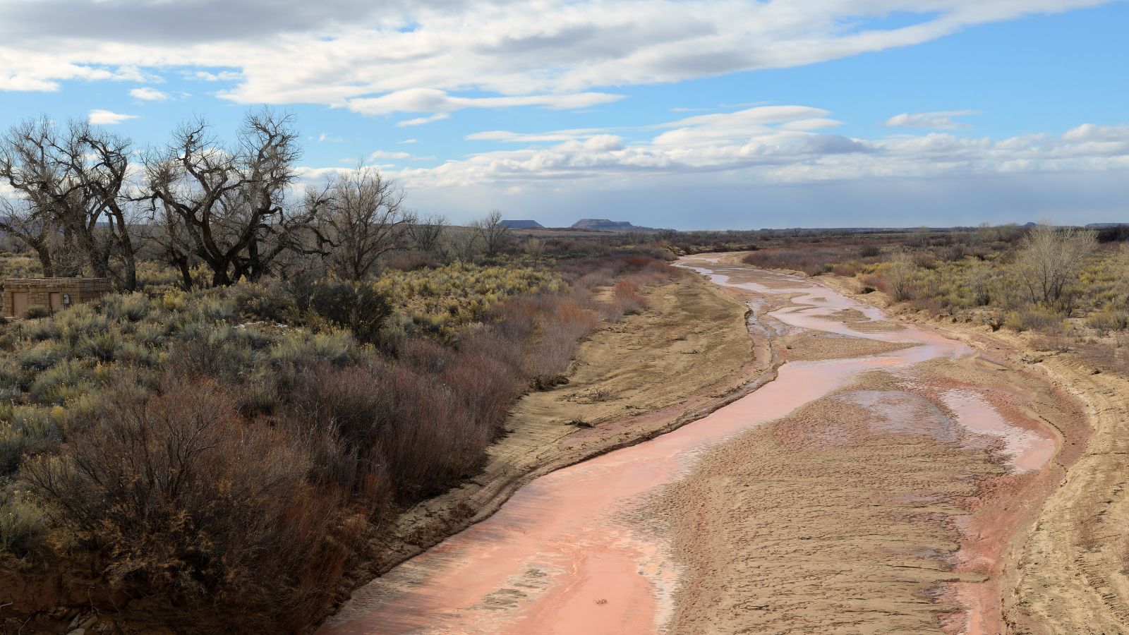
The Puerco River, also known as Rio Puerco, is a tributary of the Little Colorado River in northwestern New Mexico and northeastern Arizona. It flows through arid terrain, including the Painted Desert, and is sometimes called Rio Puerco of the West to distinguish it from the Rio Puerco of the East that flows east to the Rio Grande.
The river is 167 miles long and drains an area of about 2,654 square miles, but its average discharge is very low, less than 70 cubic feet per second in normal years, due to its extremely dry drainage basin.
Santa Maria River
The Santa Maria River is an intermittent stream located in western Arizona and a primary tributary of the Bill Williams River. It forms a portion of the boundary between Mohave and La Paz counties and is one of the main sources of inflow for Alamo Lake.
The river is approximately 50 miles long, with 17 miles considered a perennial stream and the remainder running only during periods of heavy rain.
Hassayampa River

The Hassayampa River is an intermittent river that flows mostly south towards Wickenburg, entering the Gila River near Hassayampa. Although the river has only subsurface flow for much of the year, it has significant perennial flows above ground within the Hassayampa River Canyon Wilderness and the Nature Conservancy’s Hassayampa River Preserve, near Wickenburg.
The river is about 113 miles long, with a watershed of 1,410 square miles, most of it desert. The Hassayampa River was also the site of the 1890 Walnut Grove Dam failure, which resulted in over 100 fatalities along the river.
Agua Fria River
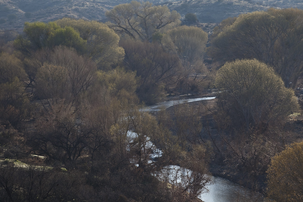
The Agua Fria River is a 120-mile-long intermittent stream that flows generally south from 20 miles east-northeast of Prescott in Arizona. Prescott draws much of its municipal water supply from the upper Agua Fria watershed, and the river runs through the Agua Fria National Monument before flowing through a small canyon called “Black Canyon” into Lake Pleasant, a popular recreation area near Peoria, Arizona.
The Central Arizona Water Conservation District of the Central Arizona Project operates the Agua Fria Recharge Project, which serves to recharge underground aquifers in the area and ends at Lake Pleasant, Phoenix.
Santa Cruz River

The Santa Cruz River is an 184-mile tributary river to the Gila River in Southern Arizona and northern Sonora, Mexico. Most of the river is usually a dry riverbed unless the area receives significant rainfall.
The river’s decline is attributed to a combination of human errors and natural catastrophes in the late nineteenth century, including overgrazing, excessive pumping of groundwater for agricultural irrigation and industry, and the construction of dams and ditches.
Little Colorado

The Little Colorado River is a tributary of the Colorado River in Arizona that drains an area of about 26,500 square miles. Although it stretches almost 340 miles, only the headwaters and the lowermost reaches flow year-round.
The lower 57.2 miles is known as the Little Colorado River Gorge and forms one of the largest arms of the Grand Canyon, at over 3,000 feet deep where it joins the Colorado near Desert View in Grand Canyon National Park, and an overlook of the gorge is a Navajo Nation Tribal Park.
Lakes
Lake Powell
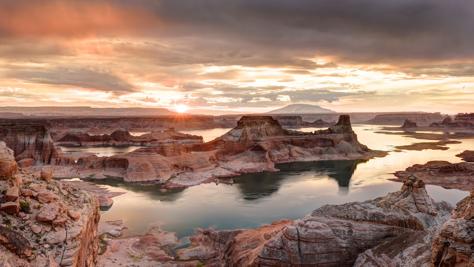
Lake Powell is a major vacation destination visited by approximately two million people every year. It is an artificial reservoir on the Colorado River in Utah and Arizona, United States, and is the second largest artificial reservoir by maximum water capacity in the United States behind Lake Mead, storing 24,322,000 acre-feet of water when full.
However, Lake Mead has fallen below Lake Powell in size several times during the 21st century in terms of volume of water, depth, and surface area. Despite being a water storage facility for the Upper Basin states of the Colorado River Compact, Lake Powell has faced an average annual loss in storage capacity of about 33,270 acre-feet, or 11 billion gallons, per year between 1963 and 2018 because of sediments flowing in from the Colorado and San Juan rivers.
Lake Mead
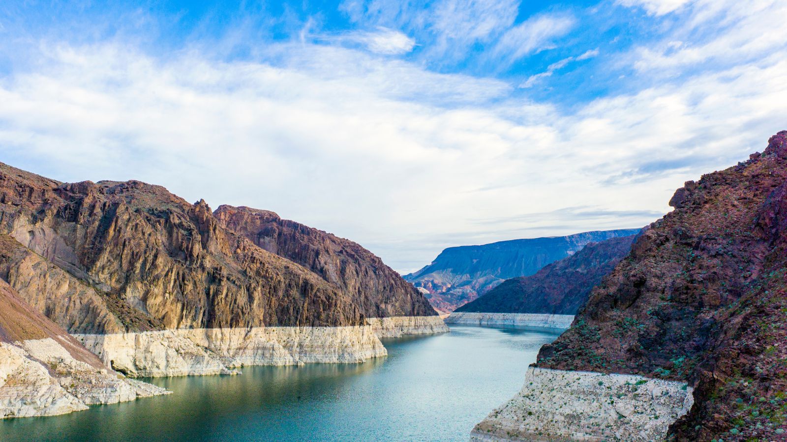
Lake Mead is the largest reservoir in the US in terms of water capacity, located in the states of Nevada and Arizona, 24 miles east of Las Vegas. It provides water to the states of Arizona, California, and Nevada as well as some of Mexico, sustaining nearly 20 million people and large areas of farmland.
However, the lake has remained below full capacity since 1983 due to drought and increased water demand, and as of May 31, 2022, it held only 26.63% of full capacity, with a projected 4.44% curtailment in downstream water delivery.
Theodore Roosevelt Lake
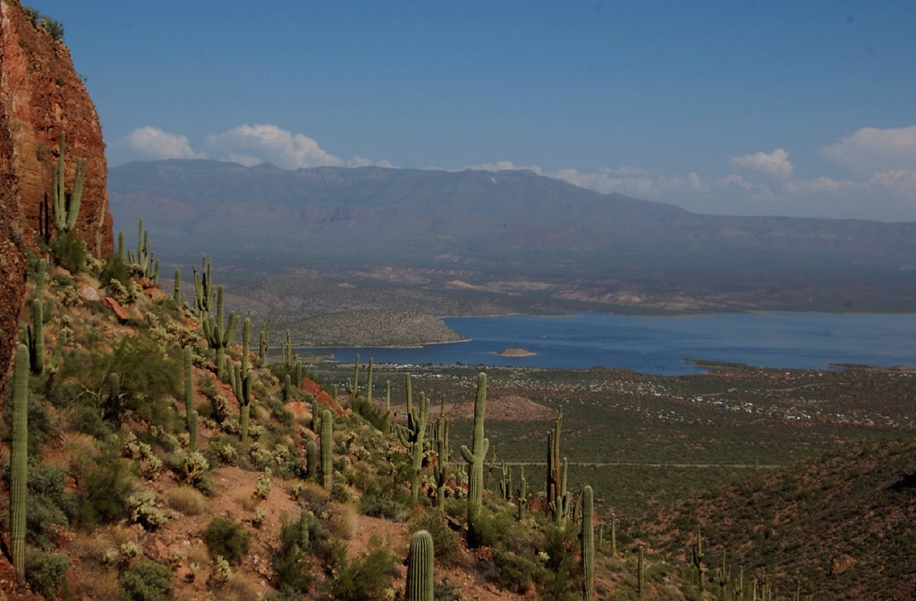
Theodore Roosevelt Lake, also known as Roosevelt Lake, is the largest lake or reservoir located entirely within the state of Arizona, formed by the Theodore Roosevelt Dam on the Salt River in Arizona as part of the Salt River Project.
The lake has the largest storage capacity of the SRP lakes with the ability to store 1,653,043 acre-feet of water when the conservation limit of Roosevelt Dam is reached. The facilities located at this lake are managed by the Tonto National Forest, and it is a popular recreation destination within the forest.
Lake Mohave
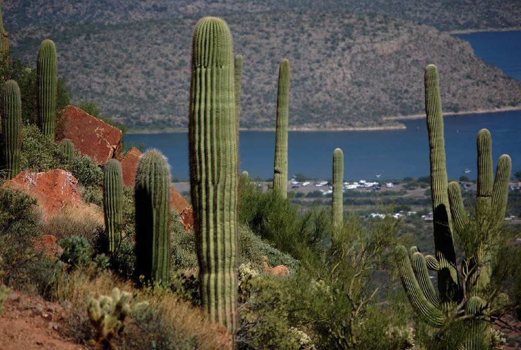
Lake Mohave is a reservoir on the Colorado River between the Hoover Dam and Davis Dam in Cottonwood Valley defining the border between Nevada and Arizona in the United States. It encompasses 28,260 acres of water and is part of the Lake Mead National Recreation Area administered by the U.S. National Park Service.
The lake offers year-round recreational opportunities with water temperatures warm enough for swimming all year long, and popular recreational activities include swimming, kayaking, fishing, boating, skiing, hiking, and wildlife photography.
Lake Havasu
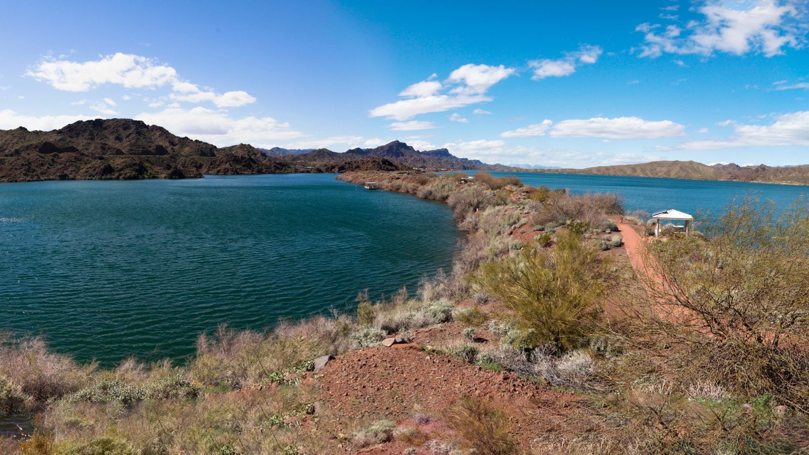
Lake Havasu is a large reservoir formed by Parker Dam on the Colorado River, on the border between San Bernardino County, California, and Mohave County, Arizona. The reservoir has an available capacity of 619,400 acre-feet and was built by the United States Bureau of Reclamation between 1934 and 1938.
The lake’s primary purpose is to store water for pumping into two aqueducts, and it was named after the Mojave word for blue in 1939. Lake Havasu City sits on the Arizonan side of the lake with its Californian counterpart of Havasu Lake directly across the lake, and the area was home to the Mojave people prior to the dam construction.
Cataract Lake
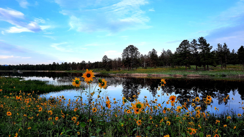
Cataract Lake is a popular fishing lake located in the Williams Ranger District about one mile northwest of Williams on Cataract Lake Road in Arizona. The lake is open seasonally for day use only, and overnight camping is not available. However, visitors can enjoy activities such as fishing and picnicking during the day.
The lake covers a surface area of 35 acres and has an average depth of 12 ft. Facilities at the lake include a toilet, picnic tables, and garbage bins.
Alamo Lake
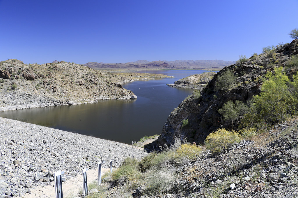
Alamo Lake is a reservoir formed by the Alamo Dam that is part of the Alamo Lake State Park administered by the Arizona State Parks. The dam was constructed in 1968 by the Army Corps of Engineers primarily for flood control purposes, and the lake impounds runoff from the Bill Williams River, an intermittent tributary of the Colorado River.
The lake has been stocked with numerous fish species, including largemouth bass, crappie, sunfish, channel catfish, flathead catfish, and tilapia, and it has become a popular recreational and fishing destination, hosting fishing tournaments and at least one Arizona state fishing record.
San Carlos Lake
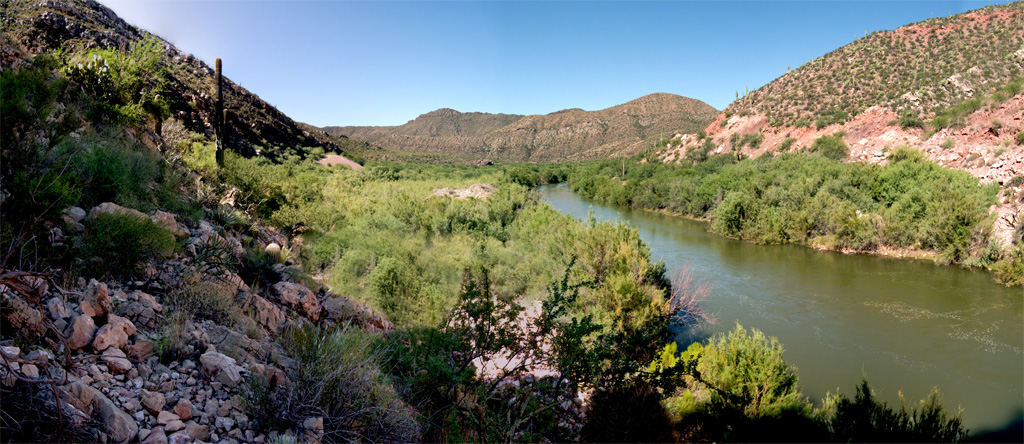
San Carlos Lake is located within the 3,000-square-mile San Carlos Apache Indian Reservation and was formed by the construction of the Coolidge Dam, rimmed by 158 miles of shoreline.
The lake’s water level can sometimes be low enough to kill its self-sustaining fish due to irrigation needs, but during wet years, the water can overtop the dam. Since the construction of the dam, the lake has been nearly empty at least 20 times and has been full only three times. The lake is subject to tribal regulations.

