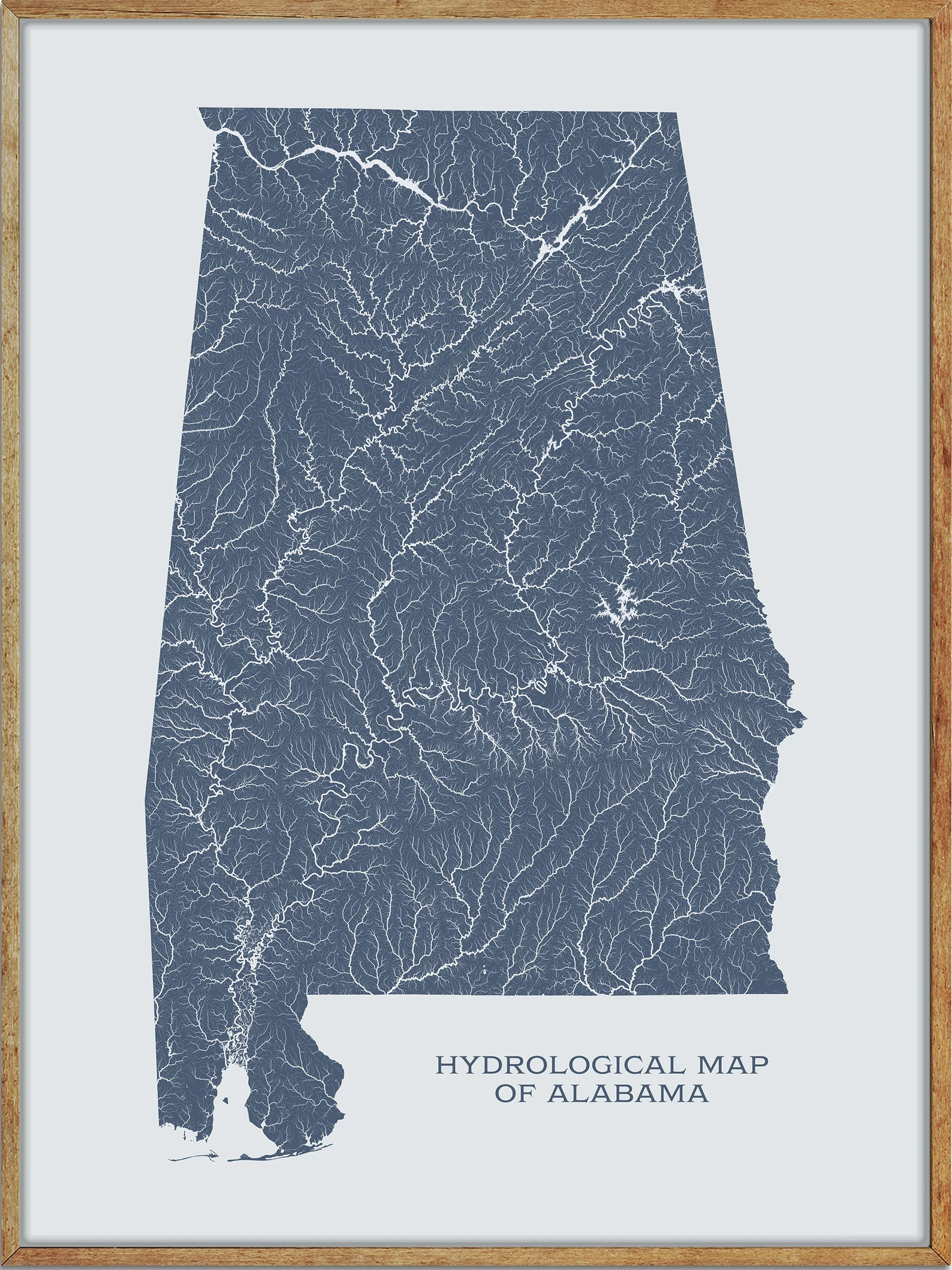
Alabama is home to a diverse range of lakes and rivers, offering endless opportunities for outdoor recreation and exploration. From the sprawling Lake Guntersville to the tranquil waters of Weiss Lake, there is no shortage of scenic destinations to discover.
Whether you’re a fishing enthusiast, a boat aficionado, or simply looking for a peaceful retreat, Alabama’s lakes and rivers have something for everyone. In this article, we’ll explore some of the most popular waterways in the state and highlight their unique features and attractions.
Printable Alabama Lakes and Rivers Map
Rivers
Tennessee River
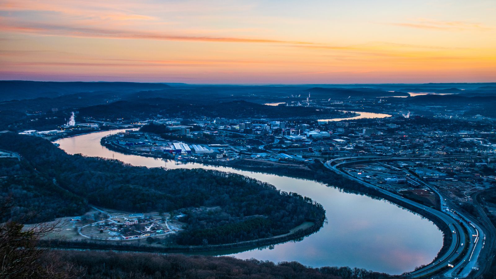
The Tennessee River, which flows approximately 652 miles through the southeastern United States in the Tennessee Valley, is the largest tributary of the Ohio River. The river was once known as the Cherokee River and was bordered by numerous Cherokee towns in what are now east Tennessee and northern Alabama. Its name is derived from the Cherokee town, Tanasi, located on the Tennessee side of the Appalachian Mountains.
Chattahoochee River

The Chattahoochee River, which is approximately 430 miles long, forms the southern half of the Alabama and Georgia border, as well as a portion of the Florida and Georgia border. It is a major tributary of the Apalachicola River and together with the Flint and Apalachicola rivers, it forms the Apalachicola–Chattahoochee–Flint River Basin. The Chattahoochee River contributes the largest part of the ACF’s drainage basin.
Alabama River
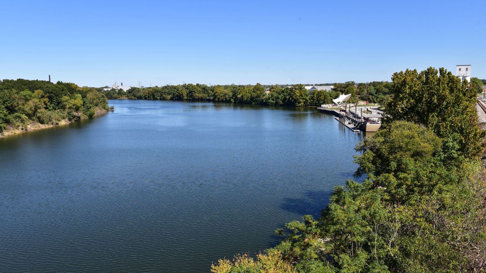
The Alabama River, formed by the Tallapoosa and Coosa Rivers, flows west to Selma and then southwest until it unites with the Tombigbee, forming the Mobile and Tensaw Rivers, which discharge into Mobile Bay. Measuring 318.5 miles according to the United States Geological Survey, the river is highly meandering with a width varying from 50 to 200 yards and a depth from 3 to 40 feet.
The river played a significant role in the economic growth of the region in the 19th century as a transportation source for goods, including slaves, and is still used for transporting farming produce.
Tombigbee River
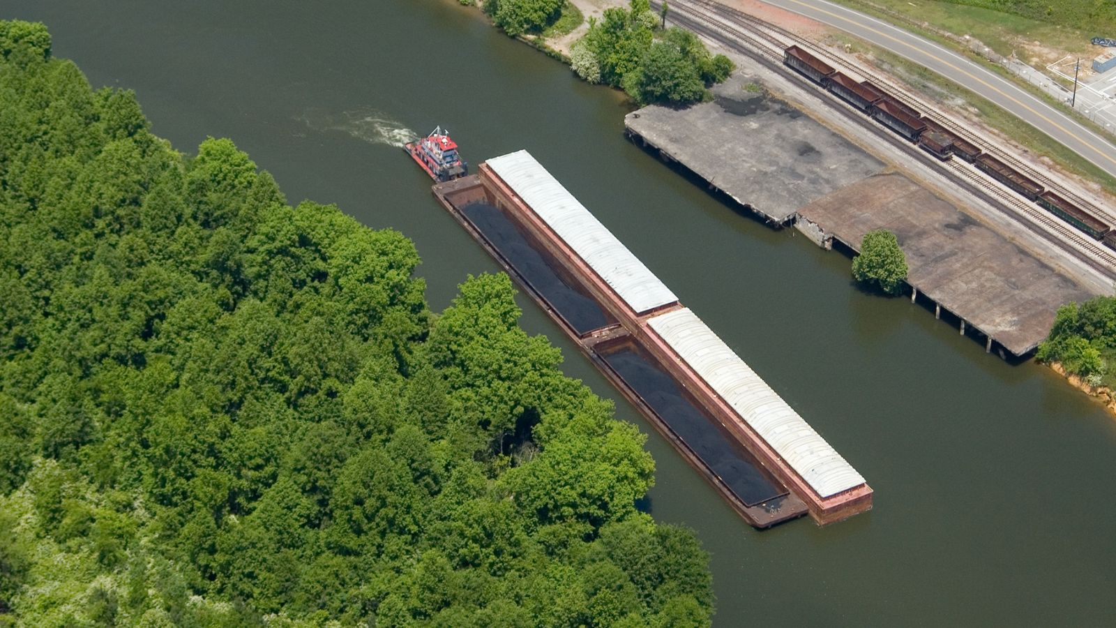
The Tombigbee River, approximately 200 miles long, is a tributary of the Mobile River, which merges with the Alabama River to form the short Mobile River before emptying into Mobile Bay on the Gulf of Mexico. The river flows generally southward, encompassing much of the rural coastal plain of western Alabama and northeastern Mississippi.
It provides one of the primary routes of commercial navigation in the southern United States, as it is navigable along much of its length and connected in its upper reaches to the Tennessee River via the Tennessee-Tombigbee Waterway.
Conecuh River

The Conecuh River and Escambia River are a single 258-mile-long river that flows from Alabama through Florida into the Gulf of Mexico. The river rises near Union Springs, Alabama, flows 198 miles in a southwesterly direction into Florida, and changes its name from the Conecuh to the Escambia at the junction of Escambia Creek, downstream from the Florida-Alabama line. After the name change, the Escambia River flows 60 miles south to Escambia Bay, an arm of Pensacola Bay.
Choctawhatchee River
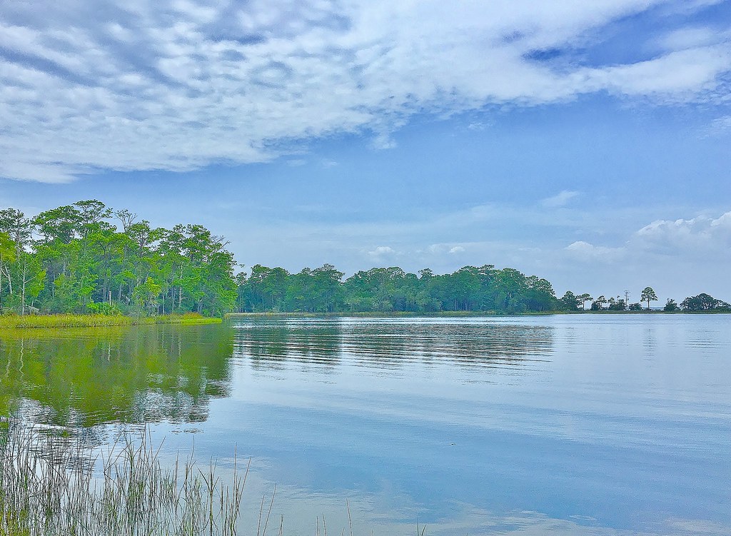
The Choctawhatchee River, which is 141 miles long, flows through southeast Alabama and the Panhandle of Florida before emptying into Choctawhatchee Bay in Okaloosa and Walton counties. The river, along with the bay and its adjacent watersheds, drains a total area of 5,350 square miles.
Cahaba River
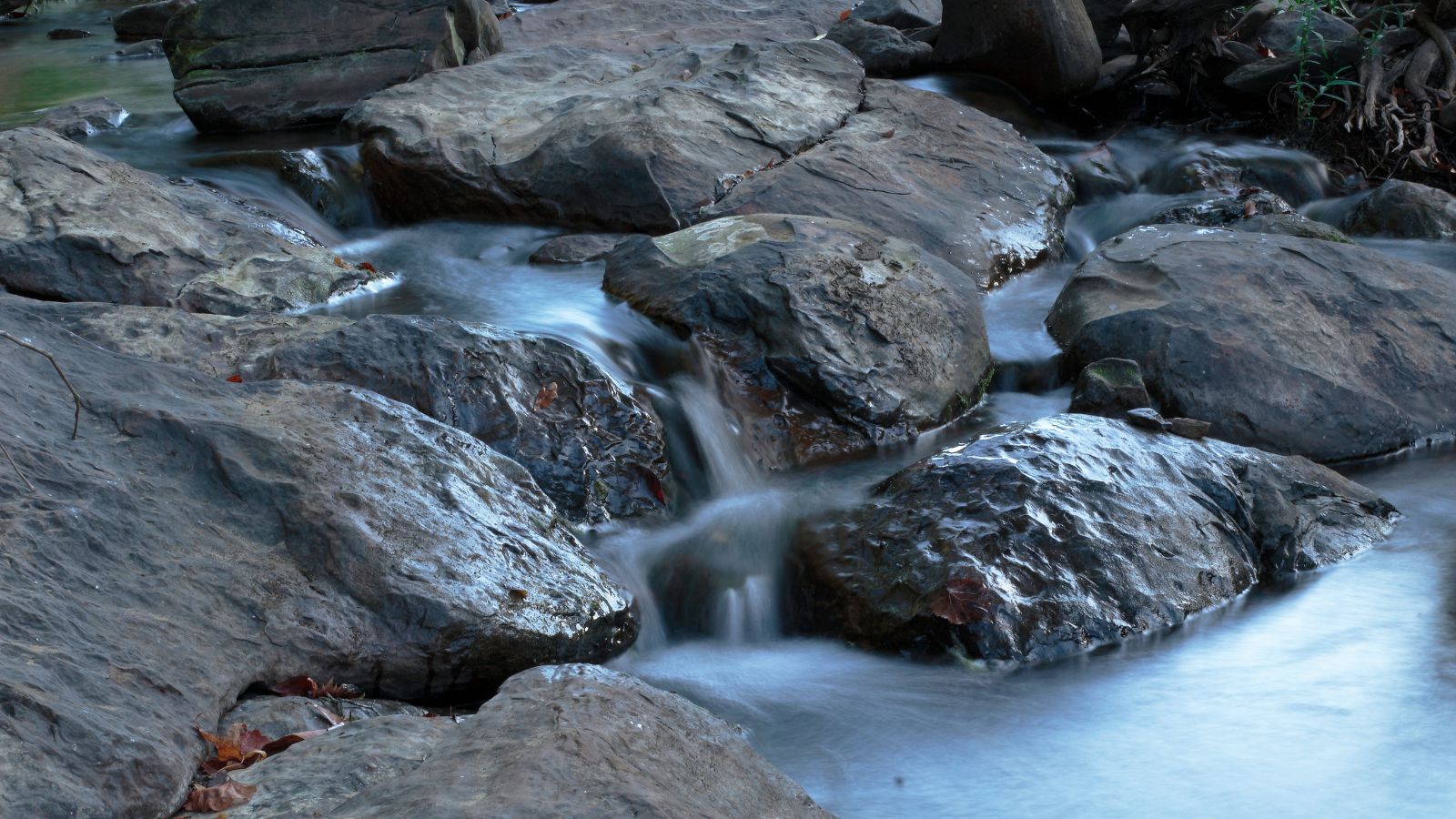
The Cahaba River, the longest substantially free-flowing river in Alabama, is known for its scenic beauty and rich biodiversity, making it one of the most biologically diverse rivers in the United States. With headwaters near Birmingham, the river flows southwest, then turns southeast at Heiberger to join the Alabama River at the ghost town and former Alabama capital of Cahaba in Dallas County. The Cahaba River, entirely within central Alabama, is 194 miles long and drains an area of 1,870 square miles. The river’s name is derived from the Choctaw words oka meaning “water” and aba meaning “above”.
Black Warrior River
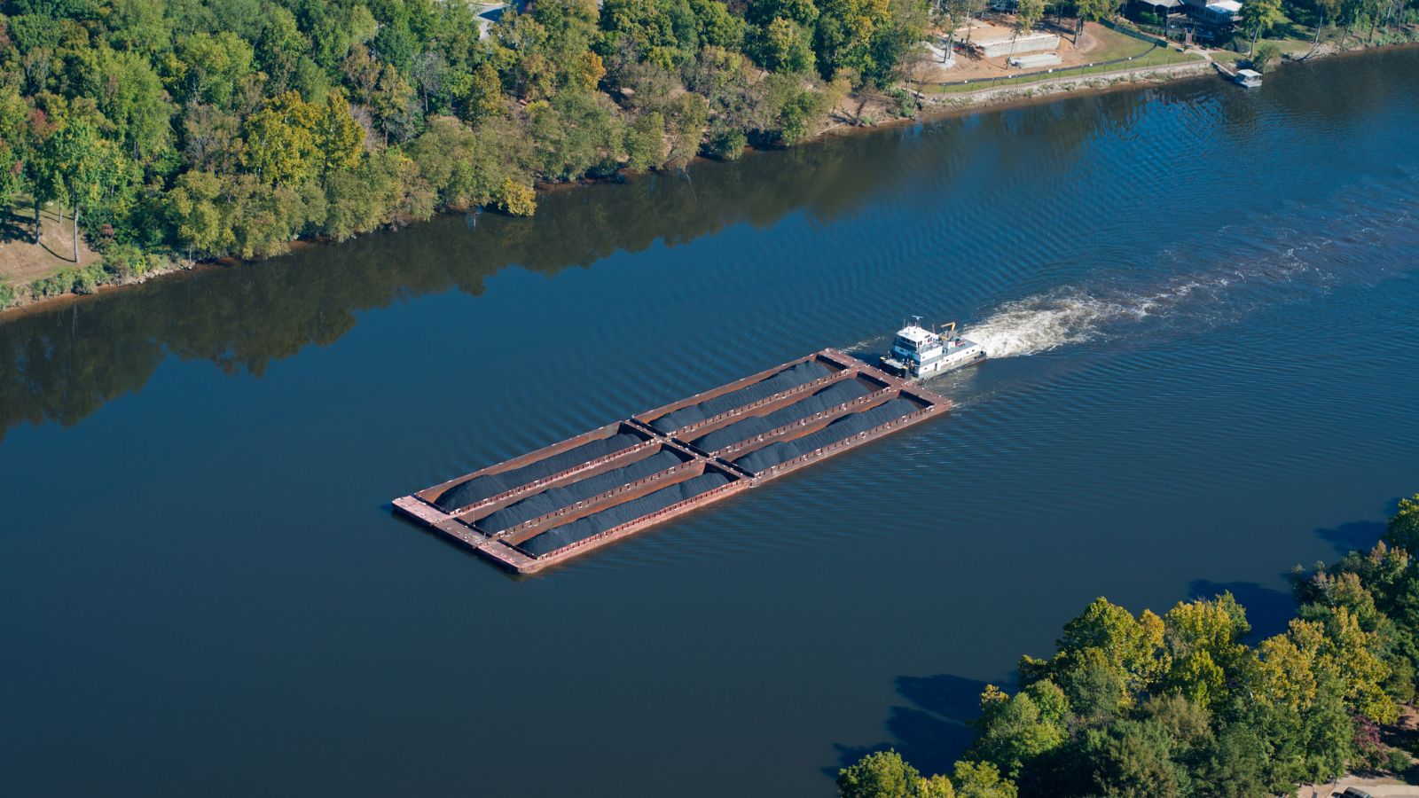
The Black Warrior River, rising in the southern edges of the Appalachian Highlands, flows 178 miles to the Tombigbee River, serving as its primary tributary. The river is named after the Mississippian paramount chief Tuskaloosa and is impounded along nearly its entire course by a series of locks and dams to form a chain of reservoirs that provide an inland waterway, hydroelectric power, drinking water, and industrial water.
Historically important for coal and methane extraction, the Black Warrior Basin is home to the cities of Tuscaloosa and Northport, which grew around the river’s historical head of navigation, and Birmingham, which became a manufacturing hub partly due to the river’s use for the transportation of goods.
Sipsey River

The Sipsey River, a 145-mile-long low-lying river in west-central Alabama, is surrounded by wetland habitat and belongs to the Southeastern Coastal Plain, featuring an eastern deciduous forest terrestrial biome. The river originates near Glen Allen and discharges into the Tombigbee River near Vienna. The Sipsey River’s name is derived from the Choctaw language, meaning “poplar tree”.
Tallapoosa River
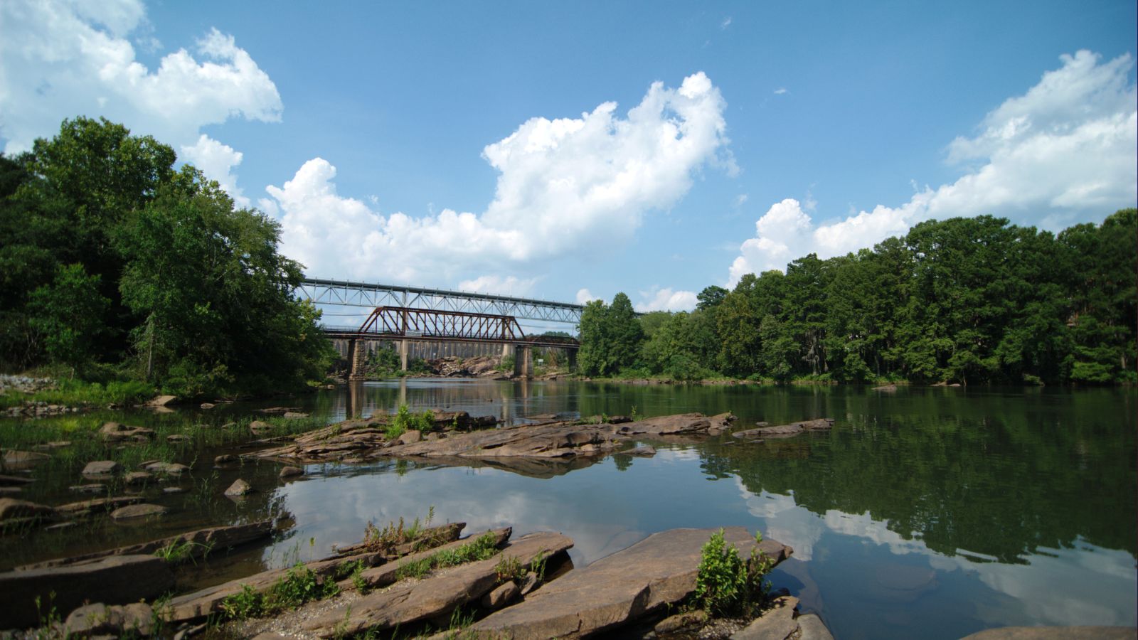
The Tallapoosa River, running 265 miles from the southern end of the Appalachian Mountains in Georgia, flows southward and westward into the Appalachian foothills in Alabama. It is formed by the confluence of McClendon Creek and Mud Creek in Paulding County, Georgia.
Lake Martin, a large and popular water recreation area, was formed by a dam on the river in Dadeville, Alabama. The Tallapoosa River joins the Coosa River about 10 miles northeast of Montgomery near Wetumpka in Elmore County to form the Alabama River.
Coosa River

The Coosa River, a tributary of the Alabama River, is approximately 280 miles long and begins at the confluence of the Oostanaula and Etowah rivers in Rome, Georgia, ending just northeast of Montgomery, Alabama, where it joins the Tallapoosa River to form the Alabama River.
With around 90% of its length located in Alabama, the Coosa is one of the state’s most developed rivers, with most of it impounded by Alabama Power, which owns seven dams and powerhouses on the river. While these dams produce hydroelectric power, they are costly to some species endemic to the Coosa River.
Lakes
Wheeler Lake

Wheeler Lake, Alabama’s second-largest lake at 68,300 acres, stretches 60 miles from Wheeler Dam to Guntersville Dam, created by Wheeler Dam along the Tennessee River, located between Rogersville and Huntsville. The lake is a major recreation and tourist center, attracting about four million visits a year, with camping, boating, and fishing being popular activities.
The Port of Decatur, the busiest port along the Tennessee River, is also located on this lake, while the Wheeler National Wildlife Refuge, several miles upstream from the dam, is a popular attraction for visitors.
Logan Martin Lake

Logan Martin Lake, a 17,000-acre reservoir built in 1965 by Alabama Power Company, is located on the Coosa River approximately 30 miles east of Birmingham, Alabama. The lake has 275 miles of shoreline along its 48.5-mile length, bordered by St. Clair and Talladega counties, and is nicknamed the Lake of a Thousand Coves by locals. With a depth of 35 to 110 feet and an average water level variance of only five feet, Logan Martin Lake is a popular destination for fishing, boating, and other recreational activities.
Lake Mitchell

Lake Mitchell, a 5,850-acre impoundment on the Coosa River with 147 miles of shoreline, is located just off I-65 and 10 miles east of Clanton in central Alabama. The Lay Dam tailwater area at the upper end of the lake is a popular recreational area for anglers, with ample bank fishing access.
Impounded by Alabama Power in 1922, the lake is very fertile and supports high densities of sport fish and forage species, with an abundance of material left behind serving as fish habitat. While constructed to provide flood control and supply hydroelectricity to central Alabama, Lake Mitchell has become very popular for various types of recreation, including boating, swimming, and fishing.
Guntersville Lake
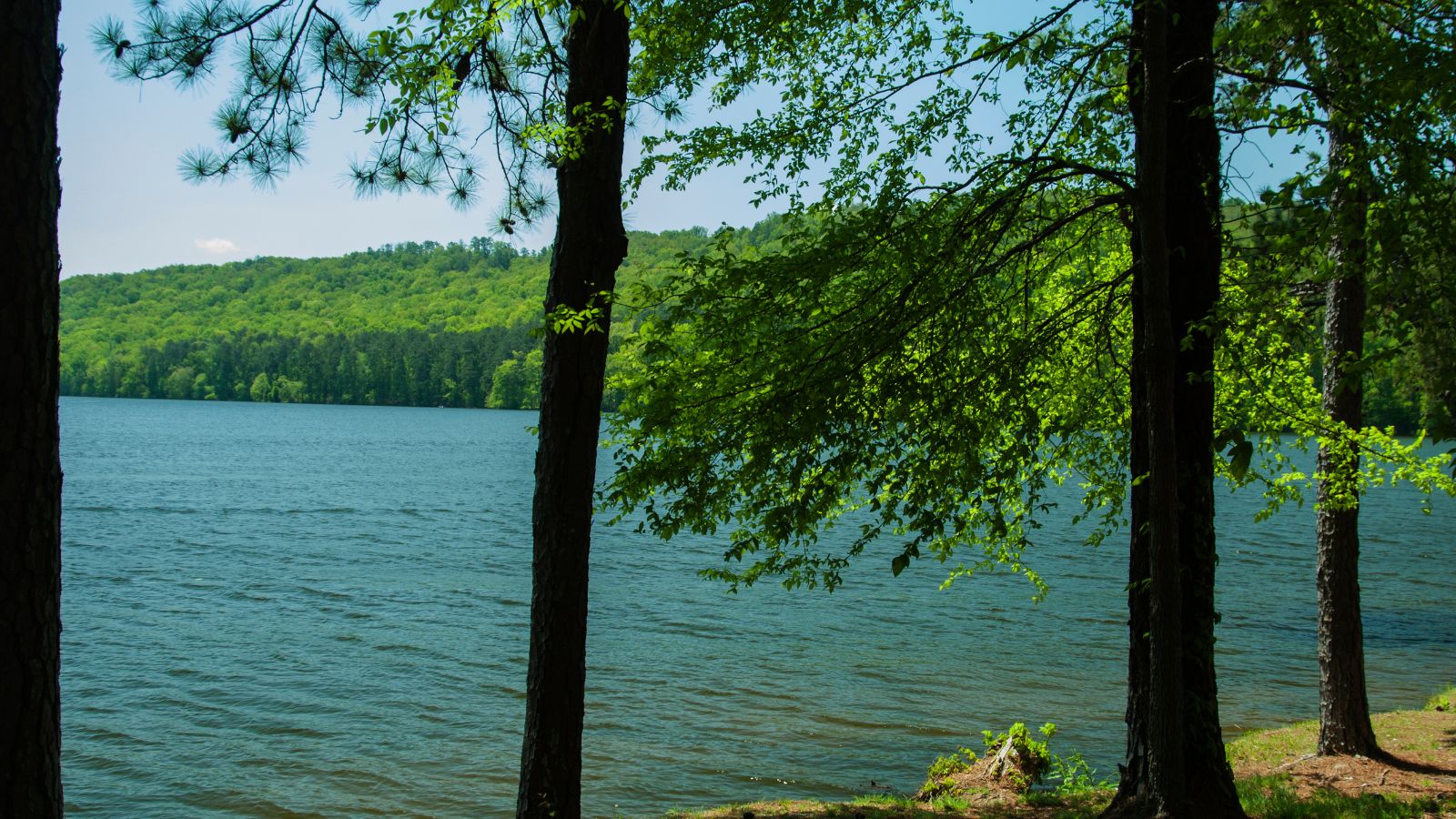
Guntersville Lake, Alabama’s largest lake at 69,100 acres, stretches 75 miles from Guntersville Dam to Nickajack Dam and is separated by the Guntersville Dam from Wheeler Lake, which is the second-largest lake at 68,300 acres. Both lakes are part of the Tennessee River.
The lake and dam received their names from the town of Guntersville, which was named after an early settler of the area, John Gunter. Guntersville Lake was created by Guntersville Dam along the Tennessee River, and it is a popular destination for fishing, boating, and other recreational activities.
Weiss Lake
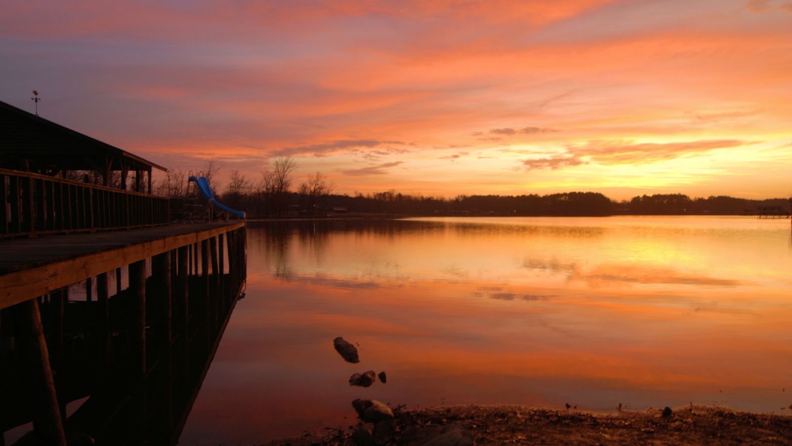
Weiss Lake, owned and operated by the Alabama Power Company, covers 30,200 acres from the Coosa River, Chattooga River, and Little River, offering over 447 miles of shoreline and shallow flats, large coves, underwater drop-offs, and deep channels. Weiss Dam, creating the reservoir, was finished in 1961 and is a concrete and earthen gravity dam, named after Fernand C. Weiss, a former chief engineer of Alabama Power.
The lake is a popular destination for fishing, with crappie, largemouth bass, and striped bass being the most common catches, and it also has privately owned hotels, marinas, campgrounds, and bait and tackle stores.
Lewis Smith Lake
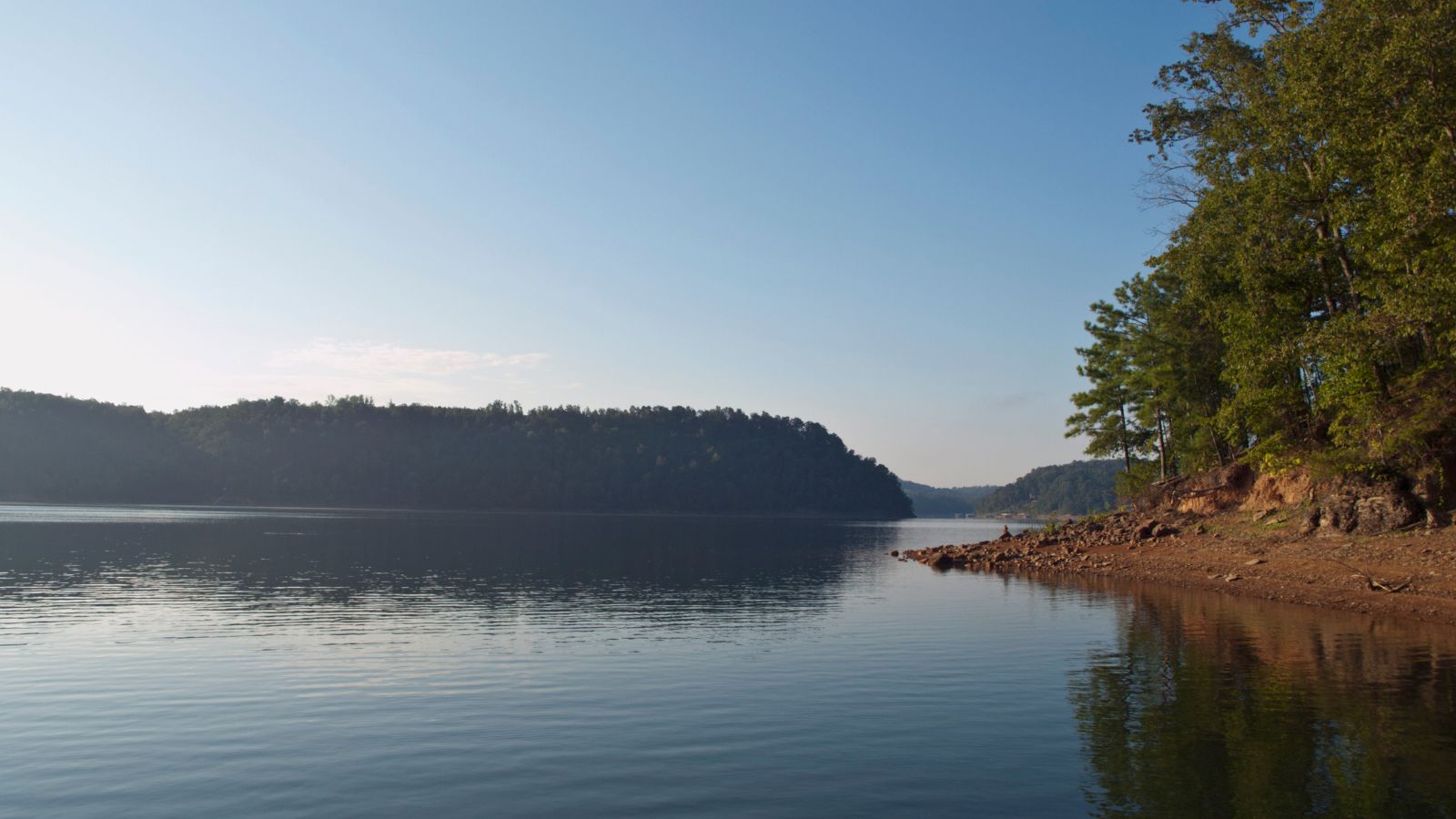
Lewis Smith Lake, the deepest lake in Alabama, covers over 21,000 acres in Cullman, Walker, and Winston Counties, located on the Sipsey Fork of the Black Warrior River. With a maximum depth of 264 feet at the dam, the three-fingered reservoir has over 500 miles of shoreline and reaches a full pool level of 510 feet.
The lake was created by Alabama Power with the construction of the Lewis Smith Dam, one of the largest earthen dams in the eastern United States, and is a popular destination for recreational activities such as cliff jumping at Indian Head Cliff and Castle Rock.
West Point Lake
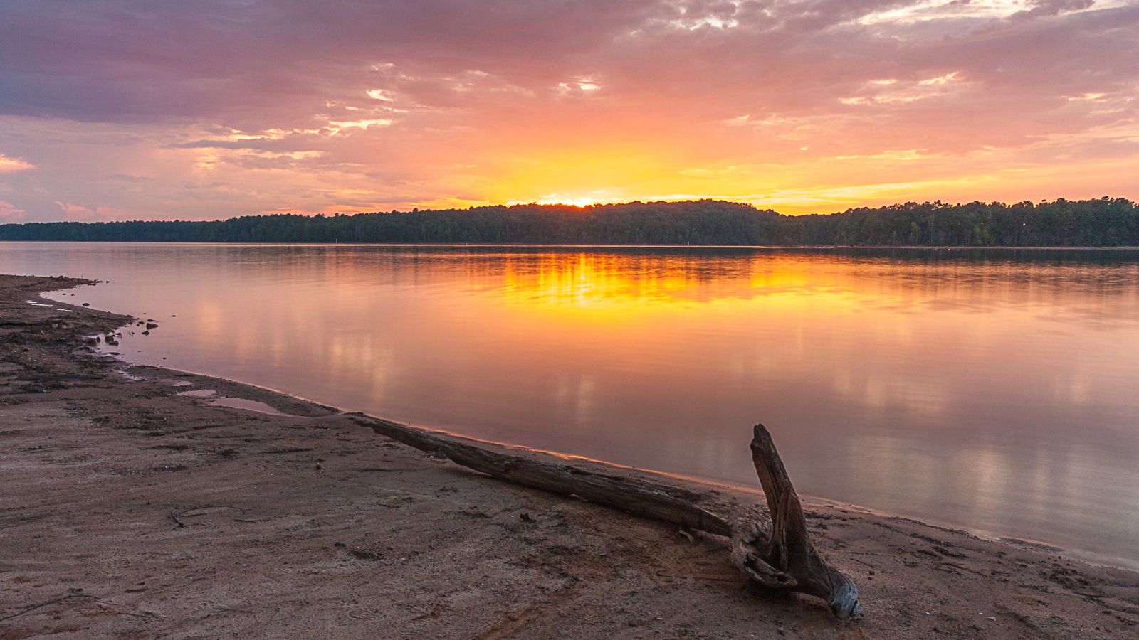
West Point Lake is a man-made reservoir located mostly in west-central Georgia on the Chattahoochee River and maintained by the U.S. Army Corps of Engineers. The lake contains 25,864 acres of water and has a shoreline of 604 miles, making it the smallest by area and second-shortest shoreline of the four major USACE lakes in the ACF River Basin.
The reservoir was created to provide flood control, hydroelectric power, and water storage to aid the navigation of the lower Chattahoochee. The Chattahoochee River flows in from the north, before flowing through the West Point Dam, which impounds the lake, and continuing to Columbus, Georgia.
Lake Martin

Lake Martin, a 39,000-acre reservoir with over 750 miles of wooded shoreline, is located in Tallapoosa, Elmore, and Coosa counties in Alabama. Enlarged by the construction of Martin Dam on the Tallapoosa River, the Martin Dam powerhouse is used to generate hydroelectric power for the Alabama Power Company.
Originally known as Cherokee Bluffs, the dam was renamed in 1936 in honor of Thomas Martin, the then-president of Alabama Power Company. Lake Martin is the third-largest lake in Alabama and a popular recreation area for swimming, boating, water skiing, camping, and golfing, with many waterfront neighborhoods and luxury homes located on its shores.

