An illustrated town map
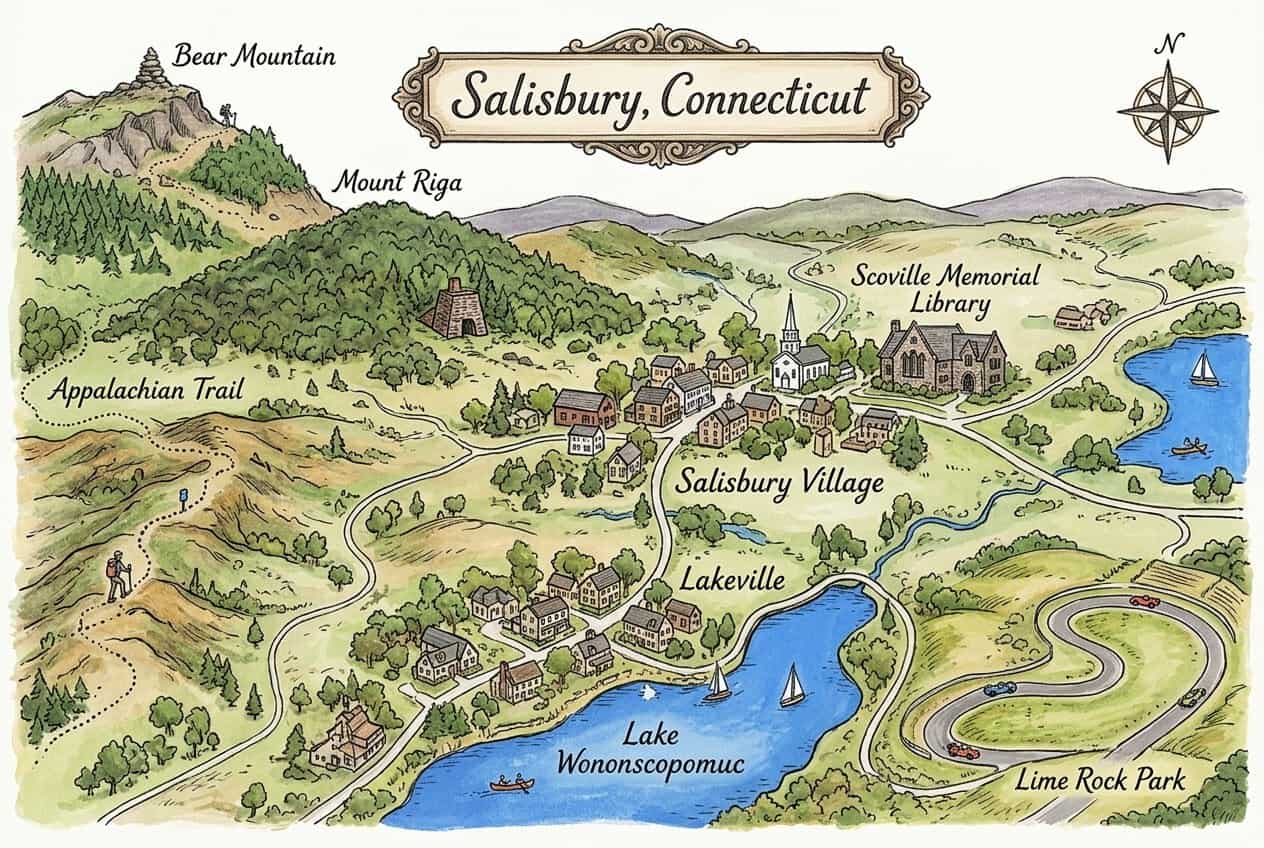
Download & use this map
This map is free to use. Towns, tourism offices, businesses, schools and bloggers are welcome to share it on websites, in newsletters or on social media. All we ask is a credit link back to this page. The easiest way to do that is the embed code below.
Embed this map on your site
About Salisbury
Salisbury sits in Connecticut's far northwest corner, once a hub of the colonial iron industry. Today it is a quiet Litchfield Hills town with villages like Lakeville, the Lime Rock Park raceway and trails along the Appalachian Trail and Lake Wononscopomuc.
This free illustrated map pulls together the places that give Salisbury its character, including Salisbury Village, Scoville Memorial Library, Lakeville and Lake Wononscopomuc. Every label on the map is listed below with a short description and a link to learn more.
Salisbury at a glance
Notable places
- Salisbury VillageHistoric village center with the Scoville Library
- Scoville Memorial Library1895 stone library, one of the oldest public libraries in the country
- LakevilleVillage on Lake Wononscopomuc
- Lake WononscopomucClear spring-fed lake in Lakeville
- Lime Rock ParkHistoric road-racing circuit
- Appalachian TrailLong-distance trail crossing the town's hills
- Bear MountainConnecticut's highest peak, on the Appalachian Trail
- Mount RigaWooded mountain with remains of a colonial iron furnace
- City of SalisburyOfficial local government website
- ctvisit.comVisitor and tourism information for Salisbury
More maps of Connecticut
See where Salisbury sits in the state on our Connecticut county map, or browse more illustrated Connecticut town maps.
Population and area figures come from the U.S. Census Bureau; other facts from the sources linked on each card. Place links go to each place’s official website where it has one, otherwise to its Wikipedia article. The map is an artistic illustration and isn’t to scale.