An illustrated town map
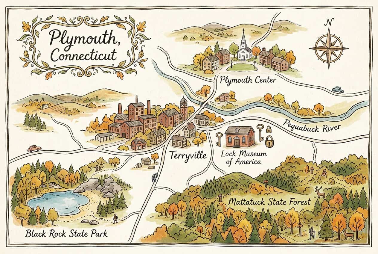
Download & use this map
This map is free to use. Towns, tourism offices, businesses, schools and bloggers are welcome to share it on websites, in newsletters or on social media. All we ask is a credit link back to this page. The easiest way to do that is the embed code below.
Embed this map on your site
About Plymouth
Plymouth, home to the village of Terryville, is a Litchfield County town where Eli Terry pioneered mass-produced clocks and the lock industry later boomed. The Lock Museum of America and Terryville's historic center tell that manufacturing story.
This free illustrated map pulls together the places that give Plymouth its character, including Lock Museum of America, Terryville, Plymouth Center and Pequabuck River. Every label on the map is listed below with a short description and a link to learn more.
Plymouth at a glance
Notable places
- Lock Museum of AmericaMuseum with thousands of historic locks and keys
- TerryvilleMain village of Plymouth, once a lock-making center
- Plymouth CenterHistoric hilltop village green
- Pequabuck RiverRiver running through Terryville
- Mattatuck State ForestState forest on the town's southern hills
- Black Rock State ParkState park with a swimming pond and trails
- City of PlymouthOfficial local government website
- ctvisit.comVisitor and tourism information for Plymouth
More maps of Connecticut
See where Plymouth sits in the state on our Connecticut county map, or browse more illustrated Connecticut town maps.
Population and area figures come from the U.S. Census Bureau; other facts from the sources linked on each card. Place links go to each place’s official website where it has one, otherwise to its Wikipedia article. The map is an artistic illustration and isn’t to scale.